The best gravel rides around Sarmersbach
4.2
(26)
129
riders
32
rides
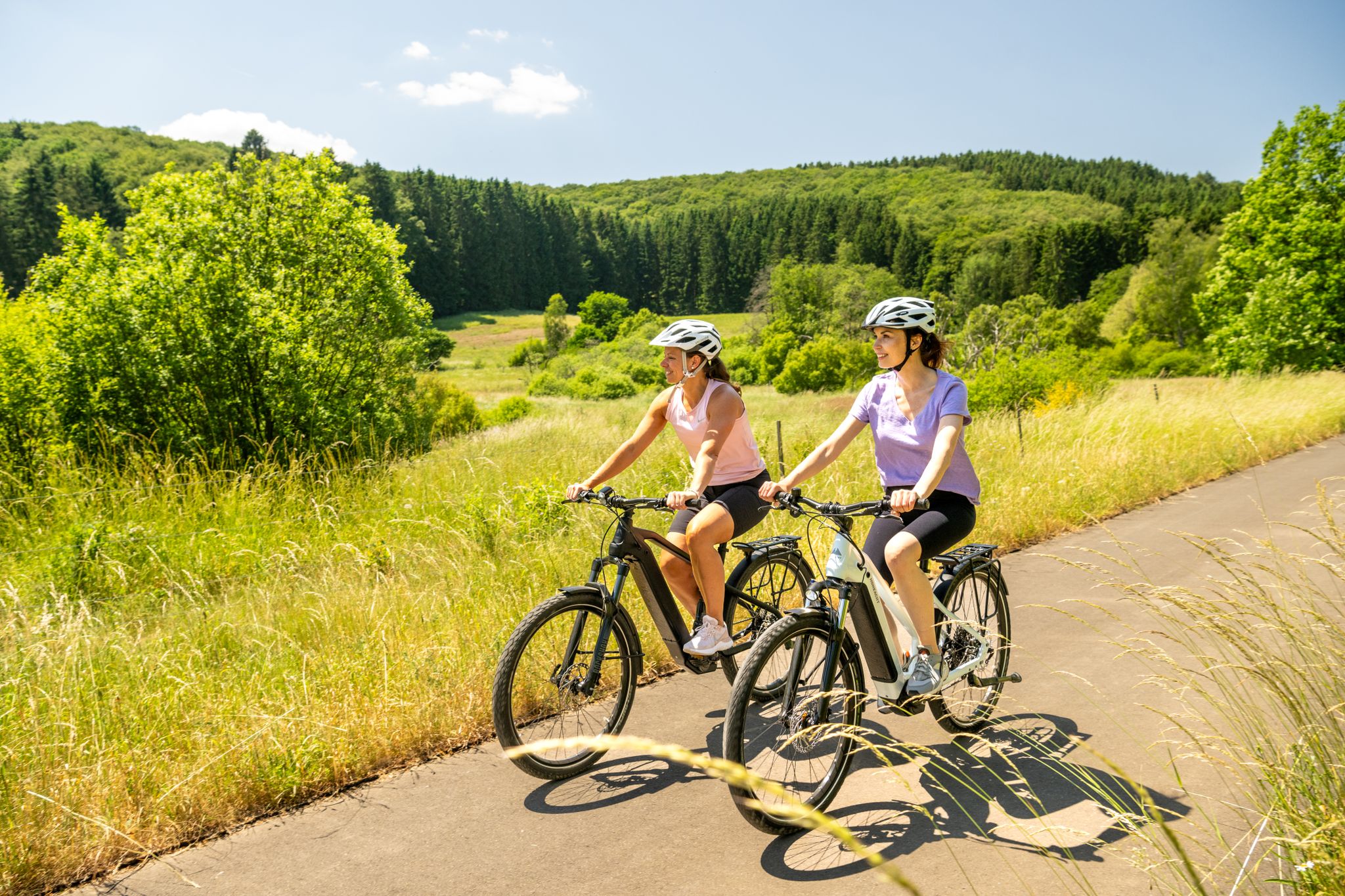
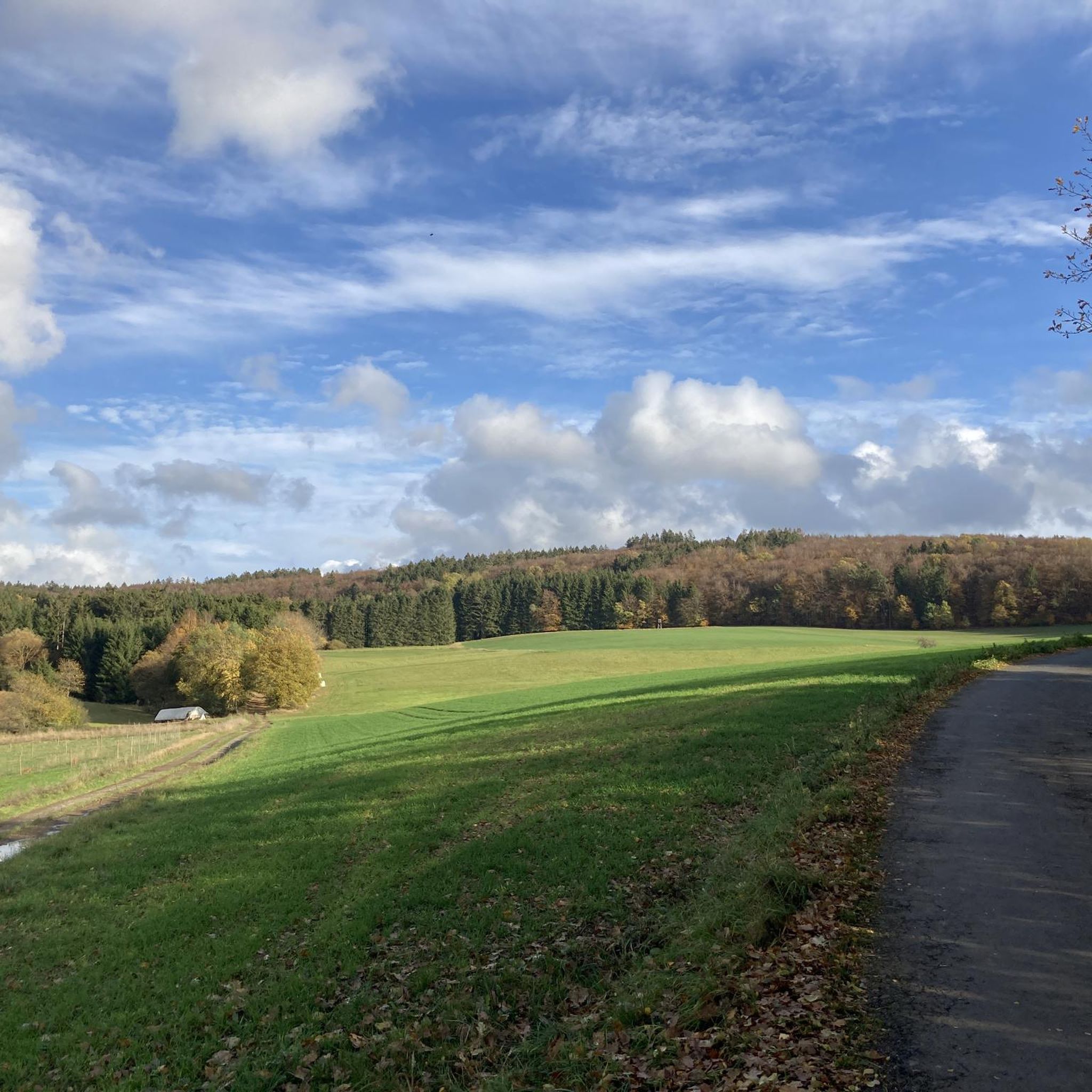
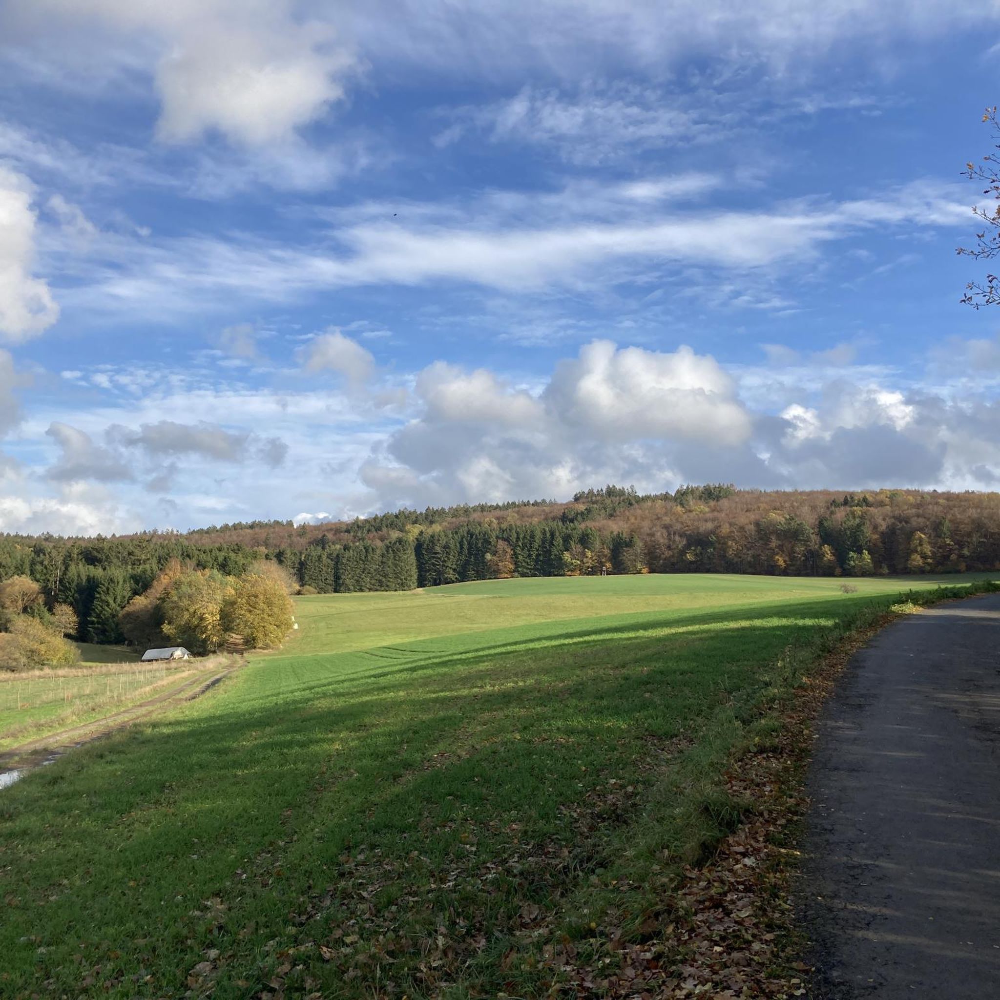
Gravel biking around Sarmersbach offers routes through the unique volcanic landscapes of Germany's Vulkaneifel region. The terrain features dense forests, expansive meadow valleys, and distinctive volcanic crater lakes known as Maare. This area, part of the UNESCO Global Geopark Vulkaneifel, provides varied elevations and a mix of paved and unpaved sections suitable for gravel riding. The well-developed network of paths caters to diverse outdoor pursuits.
Best gravel bike trails around Sarmersbach
- The most popular gravel bike trail is View of…
Last updated: May 22, 2026
14
riders
Hard gravel ride. Very good fitness required. You may need to push your bike for some segments of this route.
4.0
(3)
8
riders
24.2km
01:51
450m
450m
Hard gravel ride. Very good fitness required. Mostly paved surfaces. Suitable for all skill levels.

Sign up for free
6
riders
30.3km
02:01
480m
480m
Hard gravel ride. Very good fitness required. Mostly paved surfaces. Suitable for all skill levels.
4.8
(4)
14
riders
Hard gravel ride. Very good fitness required. Mostly paved surfaces. Suitable for all skill levels.
4.0
(1)
4
riders
34.5km
02:45
630m
630m
Hard gravel ride. Very good fitness required. Mostly paved surfaces. Suitable for all skill levels.
Get access to more routes and recommendations from other explorers.
Sign up for free
Already have an account?
Our route recommendations are based on thousands of hikes, rides, and runs completed by other people on komoot.
Start today with a free account
Your next adventure awaits.
Login or Signup


Tips from the Community

A total of three small bridges cross the Elz, allowing you to switch from one bank to the other at various points. The most beautiful is probably the bridge in the middle, the Johannesbrücke. It is equipped with both a lion monument and the statue of Saint John of Nepomuk. John of Nepomuk or John of Pomuk was a Bohemian priest and is considered the patron saint of bridges. The lion monument is certainly one of Monreal's most impressive sights. It dates from the 15th century and consists of four lions carved in basalt. Source: https://travel-see-xperience.com/2022/02/20/monreal/
2
0
Two-arched bridge over the Elzbach, c. 1500; wayside cross, 16th century; four lion figures, from 1831; Nepomuk sculpture (copy of the original from 1803, J. Matthias Büls, Monreal)
2
0
One of the most beautiful views in Monreal. In the foreground, you can see the upper castle bridge and the Café zum alten Pfarrhaus, the Holy Trinity Church and the overlying Löwen and Philippsburg castle ruins, picturesquely situated on the Elzbach. Wonderful!
2
0


A beautiful former railway bridge. It's beautiful to look at from both above and below.
1
0

On asphalt through the forest, what more could you want? Fantastic.
0
0

A truly amazing experience for young and old. Turn on the lights – even though the tunnel is lit. And in hot weather, it's like riding through a "refrigerator."
0
0

1 million years of geology. Worth putting your bike aside for a moment.
6
0
Frequently Asked Questions
How many gravel bike trails are available around Sarmersbach?
There are over 35 gravel bike trails around Sarmersbach, offering a wide range of options for exploring the unique volcanic landscapes of the Vulkaneifel region.
What kind of terrain can I expect on gravel bike trails near Sarmersbach?
The terrain around Sarmersbach is defined by its volcanic origin, featuring a mix of dense forests, expansive meadow valleys, and distinctive volcanic crater lakes known as Maare. You'll encounter varied elevations and a combination of paved and unpaved sections, making it ideal for gravel biking. The trails are generally well-maintained and firm.
Are there any family-friendly gravel bike routes in the Sarmersbach area?
While many routes around Sarmersbach are rated as difficult, the region's diverse network of paths includes sections suitable for various skill levels. For families, it's recommended to look for routes with less elevation gain and shorter distances, focusing on the well-maintained forest and field paths. Always check the route details for specific difficulty ratings before heading out.
What natural attractions or landmarks can I see along the gravel bike trails?
The Vulkaneifel region is rich in natural beauty. You can expect to see picturesque volcanic crater lakes like the Ulmener Maar and the Gemündener Maar. For panoramic views, consider routes that pass near the Dronke Tower on the Mäuseberg or the Maarkreuz with its view of the Schalkenmehren Maar. The area is also part of the UNESCO Global Geopark Vulkaneifel, highlighting its significant geological features.
Are there any dog-friendly gravel bike trails around Sarmersbach?
Many of the natural trails and forest paths around Sarmersbach are suitable for cycling with dogs, provided they are well-behaved and kept on a leash where required. The diverse landscapes of forests and meadows offer plenty of opportunities for your canine companion to enjoy the ride alongside you. Always be mindful of local regulations and other trail users.
What do other gravel bikers enjoy most about cycling in Sarmersbach?
The gravel biking routes in Sarmersbach are highly rated by the komoot community, with an average score of 4.2 stars from over 20 reviews. Riders frequently praise the unique volcanic landscapes, the variety of terrain, and the scenic views of the Maare and dense forests. The well-developed network of paths also contributes to a positive riding experience.
What is the best time of year for gravel biking in Sarmersbach?
The best time for gravel biking in Sarmersbach is typically from spring through autumn, when the weather is mild and the trails are dry. Spring brings blooming landscapes, while autumn offers vibrant fall colors. While winter riding is possible, be prepared for colder temperatures, potential snow or ice, and shorter daylight hours. Always check local weather conditions before your ride.
Are there any circular gravel bike routes available?
Yes, many of the gravel bike routes around Sarmersbach are designed as loops, allowing you to start and end at the same point. Examples include the challenging View of the Schalkenmehrener Maar – Weinfelder Maar loop from Daun, which offers stunning lake views, or the Großes Schlitzohr Tunnel – Großes Schlitzohr Tunnel loop from Daun, navigating varied terrain.
Where can I find parking for gravel bike trails near Sarmersbach?
Parking is generally available in and around the towns that serve as starting points for many routes, such as Daun or Gunderath. Look for designated parking areas in these communities, which often provide convenient access to the trailheads. Specific parking information can usually be found in the details of individual komoot tours.
Are there any cafes or places to eat along the gravel bike routes?
The Vulkaneifel region has charming villages and towns where you can find cafes, restaurants, and pubs. While not every trail will have amenities directly on the route, many pass through or near communities like Daun, Monreal, or Gunderath, offering opportunities for a break and refreshment. It's a good idea to plan your stops in advance.
What are some of the more challenging gravel bike routes in the area?
Many routes around Sarmersbach are rated as difficult due to significant elevation changes and longer distances. For instance, the Lieser Cycle Path – Grünewald Viaduct loop from Daun is a demanding route over 100 km long with substantial climbing. The Ulmener Maar – Ulmener Maar Tunnel loop from Gunderath also presents a challenging ride with notable elevation.
Can I access the gravel bike trails using public transport?
Access to the Vulkaneifel region, including areas around Sarmersbach, is possible via public transport, though options may vary. Regional bus services connect some towns, and train stations in larger nearby communities can serve as starting points. It's advisable to check specific bus and train schedules, and whether bike transport is permitted, when planning your trip.
Most popular routes around Sarmersbach
Most popular attractions around Sarmersbach

Get inspired with the komoot mobile app


Explore more
Browse the best Gravel rides in other regions.
