The best gravel rides around Strullendorf
4.5
(125)
702
riders
182
rides
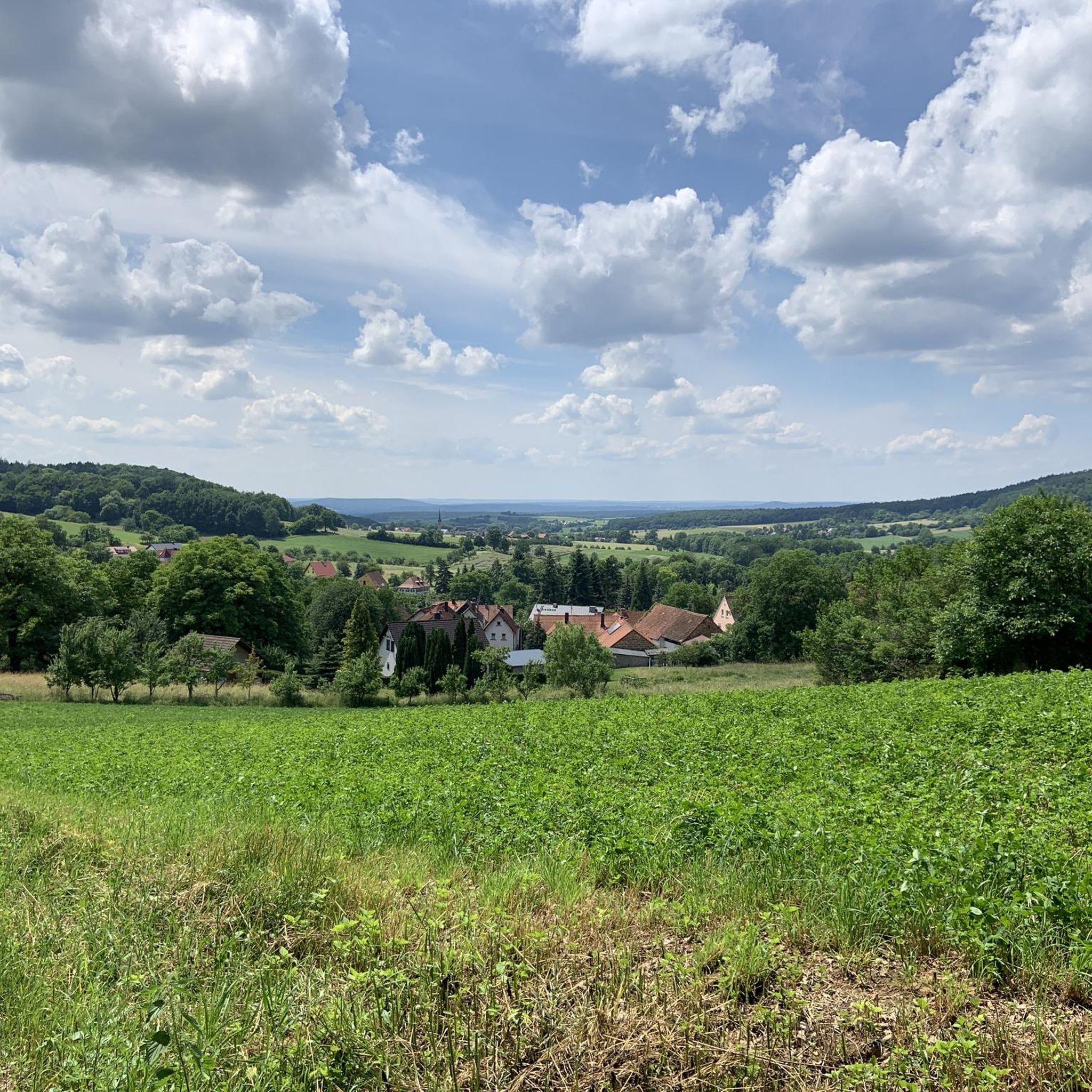
Gravel biking around Strullendorf offers diverse terrain within the Upper Franconian district of Bamberg. The region features extensive forest tracks through the Hauptsmoorwald, providing a mix of unpaved and gravel surfaces. Rolling hills and wooded valleys characterize the landscape, often referred to as "Franconian Tuscany." Proximity to the Rhine–Main–Danube Canal and the Regnitz and Main rivers also provides scenic routes along waterways.
Best gravel bike trails around Strullendorf
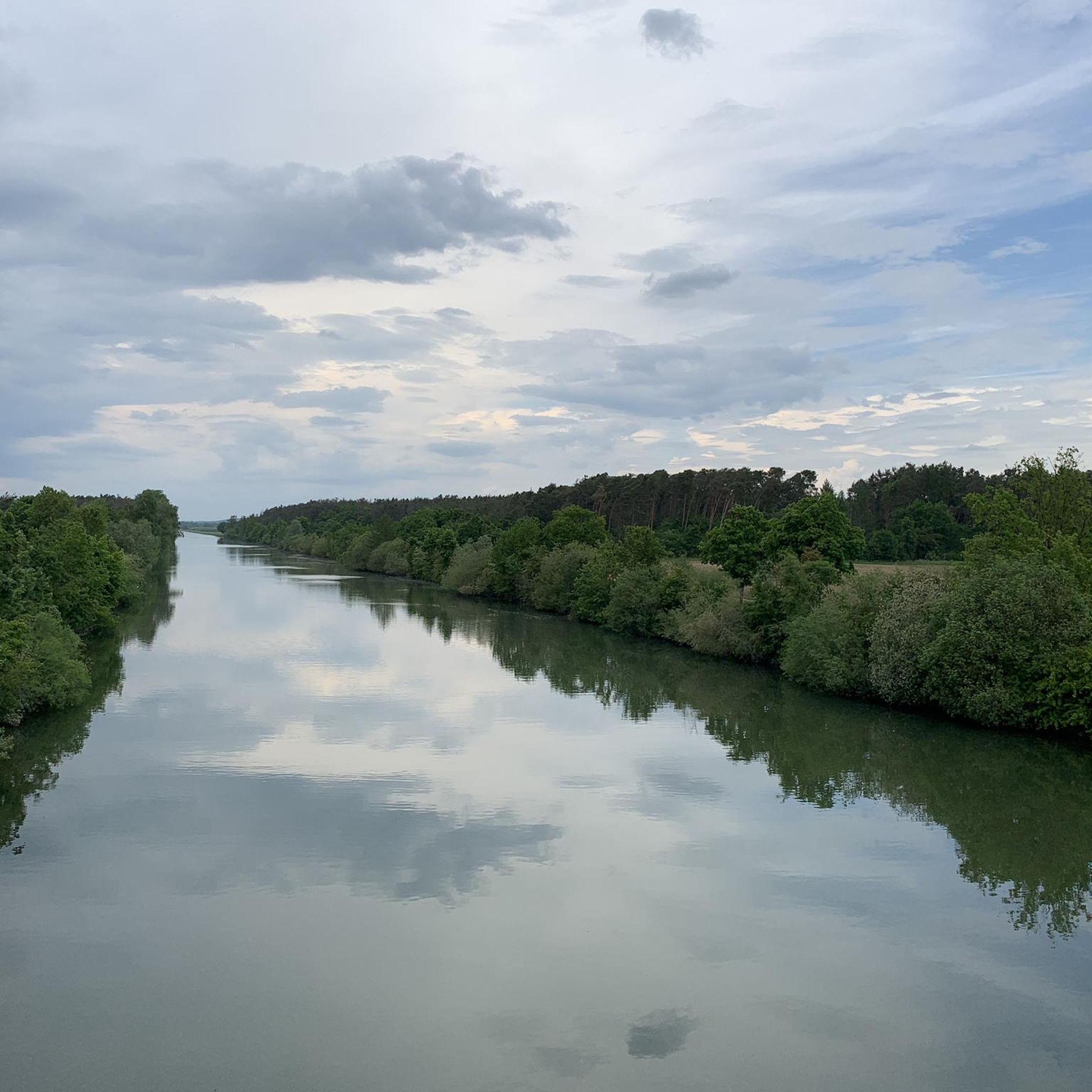
- The most popular gravel bike trail is Forchheim Imperial Palace – View of the Main-Danube Canal loop from Hirschaid, an easy 18.7 miles (30.1 km) trail that takes 1 hour 51 minutes to complete. This route offers views of the Main-Danube Canal.
- Another top favourite among local gravel bikers is View of Lohndorf – View of Tiefenellern loop from Litzendorf, a moderate 21.3 miles (34.4 km) path. This route includes significant elevation changes and scenic views of the surrounding countryside.
- Local gravel bikers also love the View of Schloss Seehof – View of Giechburg and Gügel loop from Litzendorf, a 30.5 miles (49.1 km) trail leading through varied terrain with views of castles and hills, often completed in about 2 hours 56 minutes.
- Gravel biking around Strullendorf is defined by dense forests, rolling hills, and river and canal paths. The network offers options for different ability levels, from easy rides to challenging routes with significant climbs.
- The routes in Strullendorf are highly rated by the komoot community with an average score of 4.5 stars from over 120 reviews. More than 700 gravel bikers have used komoot to explore Strullendorf's varied terrain.
Last updated: May 30, 2026
5.0
(3)
29
riders
48.7km
02:55
530m
530m
Hard gravel ride. Very good fitness required. Mostly paved surfaces. Suitable for all skill levels.
3.0
(1)
10
riders
Moderate gravel ride. Good fitness required. Mostly paved surfaces. Suitable for all skill levels.

Sign up for free
5.0
(2)
4
riders
44.9km
02:51
470m
470m
Hard gravel ride. Very good fitness required. Mostly paved surfaces. Suitable for all skill levels.
5.0
(2)
2
riders
22.5km
01:36
270m
270m
Hard gravel ride. Good fitness required. You may need to push your bike for some segments of this route.
7
riders
Moderate gravel ride. Good fitness required. Mostly paved surfaces. Suitable for all skill levels.
Get access to more routes and recommendations from other explorers.
Sign up for free
Already have an account?
Our route recommendations are based on thousands of hikes, rides, and runs completed by other people on komoot.
Start today with a free account
Your next adventure awaits.
Login or Signup
Popular around Strullendorf
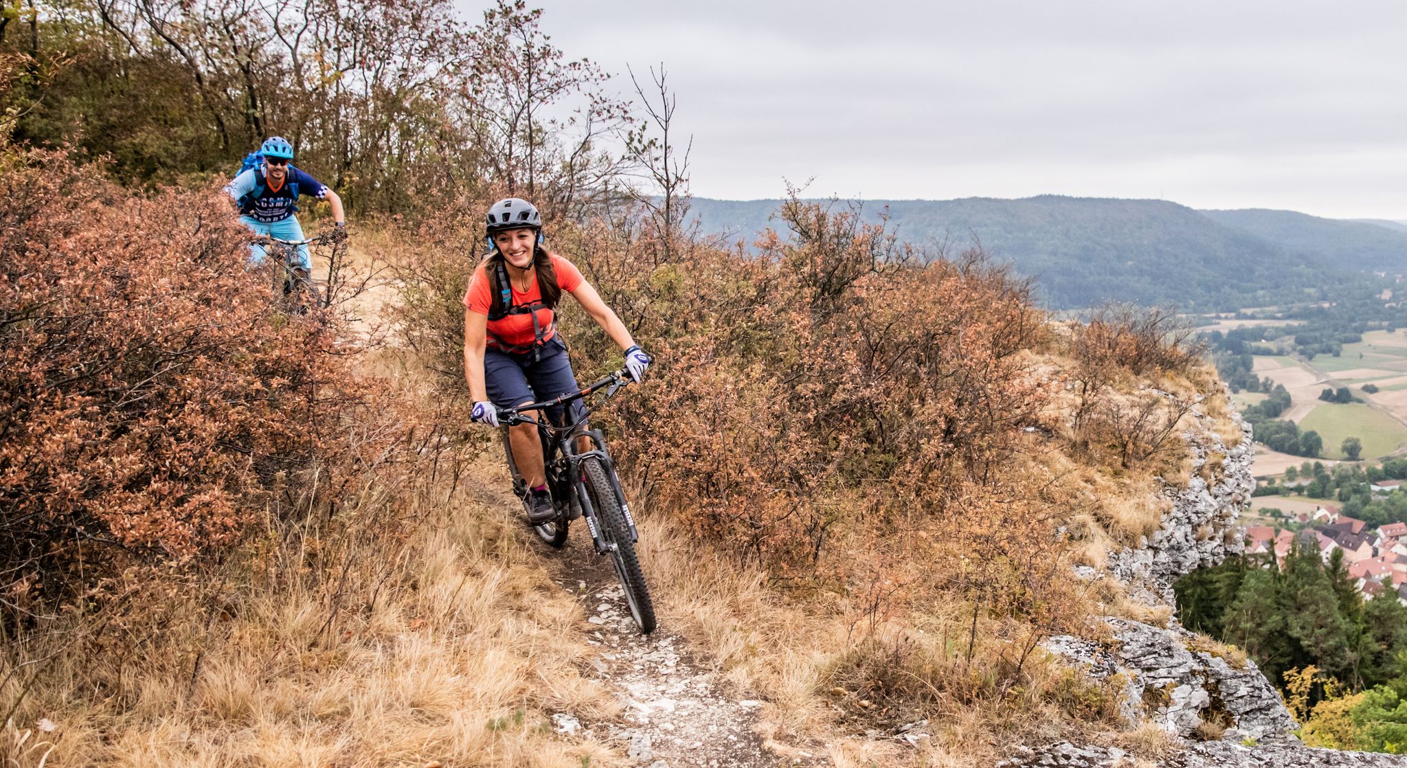
Castles, mountains, beer & trails – bikepacking in Franconian Switzerland

Hike & Beer in Franconia and Upper Palatinate — the VGN leisure tips
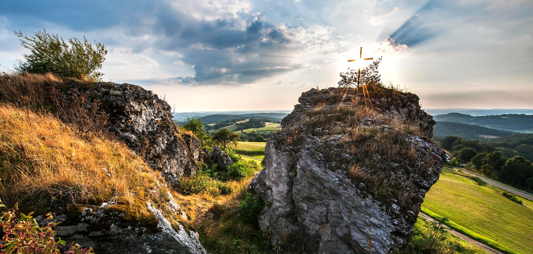
Lieblingswanderungen in der Fränkischen Schweiz
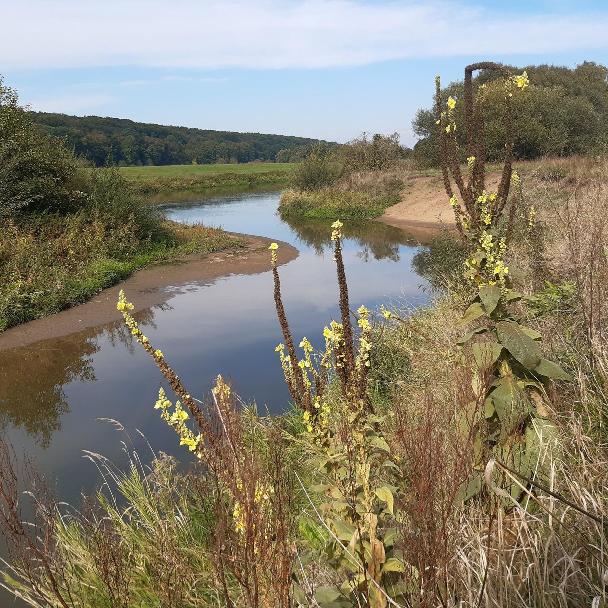
Cycling around Strullendorf
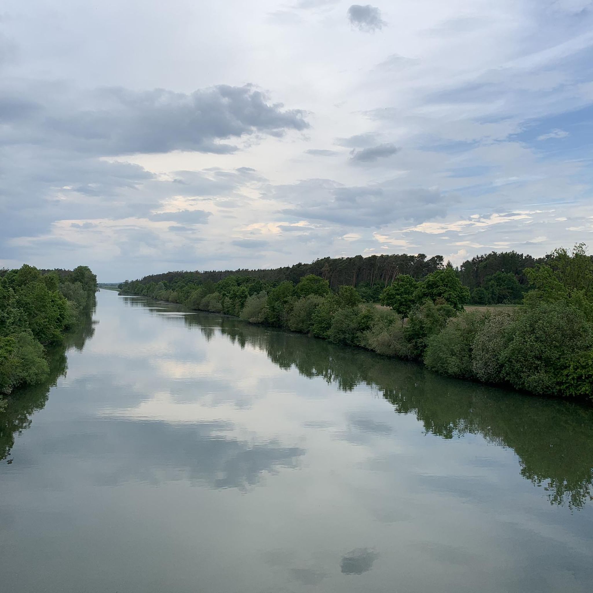
Hiking around Strullendorf
Road Cycling Routes around Strullendorf
Running Trails around Strullendorf
MTB Trails around Strullendorf
Other adventures around Strullendorf


Tips from the Community

The canal is always a super highlight for cycling - wonderfully developed cycle paths
0
0
Also a great cycle path and a great shelter / rest bench was also built nearby.
0
0
The RMD canal is great. Great paths that you can cycle on
0
0
Beautifully developed cycle path. In 2025 alone, I rode the route Weisendorf - Bamberg - Back 8 times
0
0

If you choose the circular hike from/to Schloss Seehof through the Hauptmoorswald, you get a wonderful view of the ponds towards Schloss Seehof. A very nice photo motif, especially in the evening hours.
0
0


There are now 3 helicopters
2
0

very nice cycle path along the canal
1
0
Frequently Asked Questions
How many gravel bike trails are available around Strullendorf?
Strullendorf boasts an extensive network of over 300 gravel bike routes. These routes vary significantly in length and difficulty, ensuring there's something for every rider, from easy scenic rides to challenging tours with considerable elevation changes.
What kind of terrain can I expect on gravel bike trails near Strullendorf?
The region around Strullendorf offers a diverse mix of terrain. You'll find numerous forest tracks through the expansive Hauptsmoorwald, rolling hills and wooded valleys characteristic of 'Franconian Tuscany,' and scenic paths along the Rhine–Main–Danube Canal and the Regnitz and Main rivers. Expect a blend of unpaved and gravel surfaces, with some routes incorporating paved sections.
Are there gravel routes suitable for beginners or families in Strullendorf?
Yes, Strullendorf offers a good selection of easier gravel routes. There are 25 routes categorized as easy, perfect for those new to gravel biking or families looking for a more relaxed ride. These often feature less elevation and smoother surfaces, allowing for an enjoyable experience for all fitness levels.
Where can I find challenging gravel bike routes with significant climbs?
For experienced gravel bikers seeking a challenge, Strullendorf has 111 difficult routes. These tours often feature significant elevation changes and can include technical sections. An example of a moderate to difficult route with scenic views and elevation is View of Lohndorf – View of Tiefenellern loop from Litzendorf, which covers over 34 km with nearly 400 meters of ascent.
What are some scenic viewpoints or landmarks I can see along the gravel trails?
Many gravel routes in the Strullendorf area offer impressive vistas and pass by historical sites. You can incorporate viewpoints like those from Kreuzberg hill or Sassanfahrt Castle Park into your rides. For routes that feature castles and hills, consider the View of Schloss Seehof – View of Giechburg and Gügel loop from Litzendorf. You can also explore highlights like Giechburg or Seehof Palace.
Are there any waterfalls or natural monuments accessible by gravel bike?
Yes, the region around Strullendorf features several natural highlights. You can find routes that lead to natural monuments such as the Deichselbach Tufa Terraces (Tufa Steps) or the Großer Tummler Karst Spring. These offer unique natural beauty to discover during your ride.
What do other gravel bikers enjoy most about riding in Strullendorf?
The gravel biking routes around Strullendorf are highly rated by the komoot community, with an average score of 4.6 stars from over 250 reviews. Riders often praise the diverse landscapes, the mix of forest tracks and rolling hills, and the scenic paths along the rivers and canals. The variety of routes catering to different skill levels is also frequently highlighted.
Are there gravel routes that follow river or canal paths?
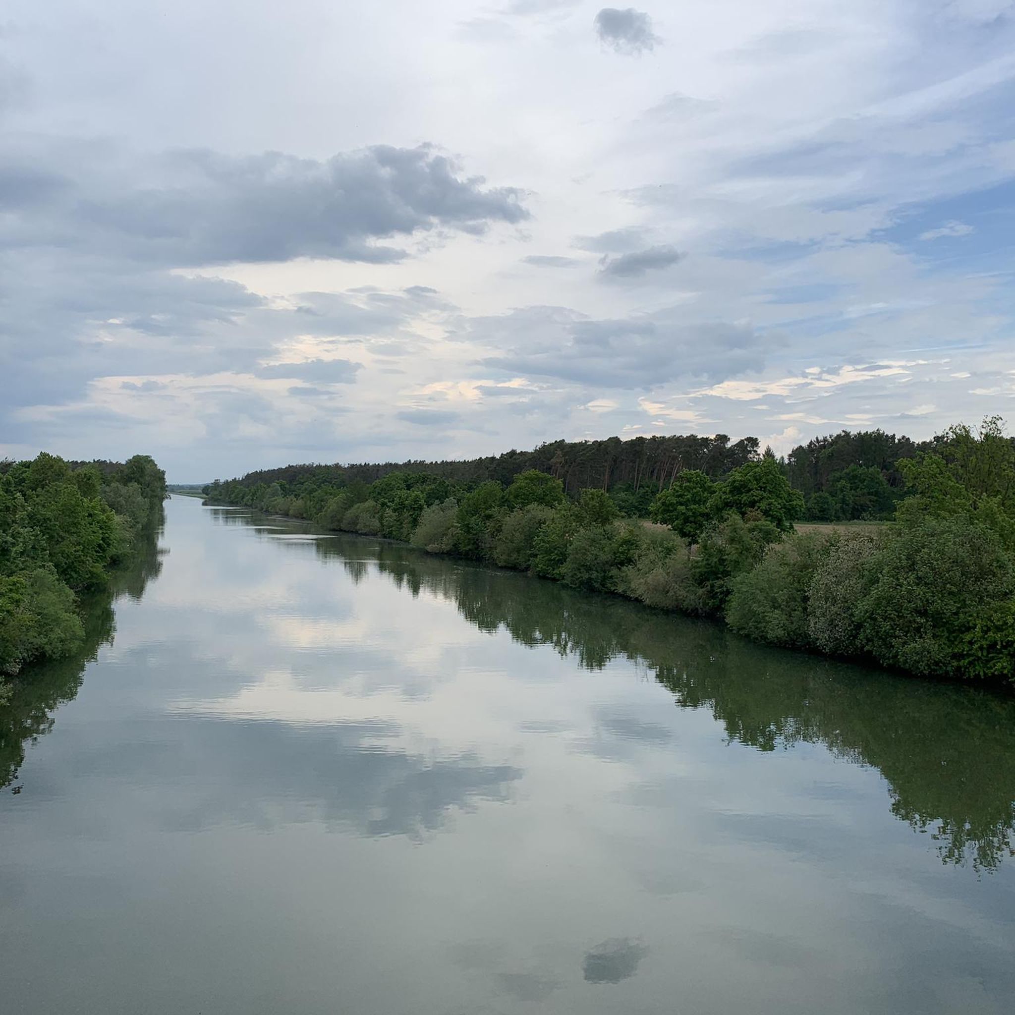
Absolutely. Strullendorf's proximity to the Rhine–Main–Danube Canal, as well as the Regnitz and Main rivers, means there are many opportunities for scenic routes along waterways. The Forchheim Imperial Palace – View of the Main-Danube Canal loop from Hirschaid is an easy route that offers views of the canal, while the Cycle Path on the Main-Danube Canal – Curvy Trails in Hauptsmoorwald loop from Litzendorf combines canal riding with forest trails.
Can I find gravel routes that are circular loops?
Yes, many of the gravel bike routes around Strullendorf are designed as circular loops, allowing you to start and end your ride in the same location. This is a popular format for exploring the region's diverse landscapes. Examples include the View of Schloss Seehof – View of Giechburg and Gügel loop from Litzendorf and the Trailsdorf Mill – Waldkeller Utz Downhill Trail loop from Pettstadt.
Is Strullendorf well-connected for gravel bikers using public transport?
Strullendorf is located in the Upper Franconian district of Bamberg, and its proximity to Bamberg means there are connections that can facilitate access to the trail network. While specific public transport options for bikes vary, the region's extensive cycle route network often connects to towns and villages with train or bus stations, making it possible to combine public transport with your gravel biking adventure.
What is the best season for gravel biking in Strullendorf?
The diverse landscapes of Strullendorf make it suitable for gravel biking across multiple seasons. Spring and autumn offer pleasant temperatures and beautiful scenery, with changing foliage or blooming nature. Summer is also great, especially for rides through the shaded Hauptsmoorwald forest. While winter riding is possible, be mindful of potential snow or ice on unpaved sections.
Most popular routes around Strullendorf
Most popular attractions around Strullendorf

Get inspired with the komoot mobile app


Explore more
Browse the best Gravel rides in other regions.
