The best gravel rides around Scheid
4.8
(15)
107
riders
30
rides
Gravel biking around Scheid offers diverse landscapes within the Eifel region, characterized by extensive forests and hilly terrain. The area features the Olef Reservoir and Bütgenbach Lake, providing varied natural settings for gravel cycling. Routes include a mix of field paths, forest trails, and some paved sections. The terrain ranges from lakeside routes to more challenging hilly forest paths.
Best gravel bike trails around Scheid
- The most popular gravel bike trail is View of the Olef Reservoir – Olef Reservoir…
Last updated: May 21, 2026
4.5
(2)
19
riders
33.3km
02:24
460m
460m
Hard gravel ride. Very good fitness required. Mostly paved surfaces. Suitable for all skill levels.
5.0
(5)
13
riders
57.9km
03:32
650m
650m
Hard gravel ride. Very good fitness required. Mostly paved surfaces. Suitable for all skill levels.

Sign up for free
4.5
(4)
27
riders
35.5km
02:34
480m
480m
Hard gravel ride. Very good fitness required. Mostly paved surfaces. Suitable for all skill levels.
6
riders
Hard gravel ride. Very good fitness required. Mostly paved surfaces. Suitable for all skill levels.
5
riders
30.6km
01:55
350m
350m
Moderate gravel ride. Good fitness required. Mostly paved surfaces. Suitable for all skill levels.
Get access to more routes and recommendations from other explorers.
Sign up for free
Already have an account?
Our route recommendations are based on thousands of hikes, rides, and runs completed by other people on komoot.
Start today with a free account
Your next adventure awaits.
Login or Signup
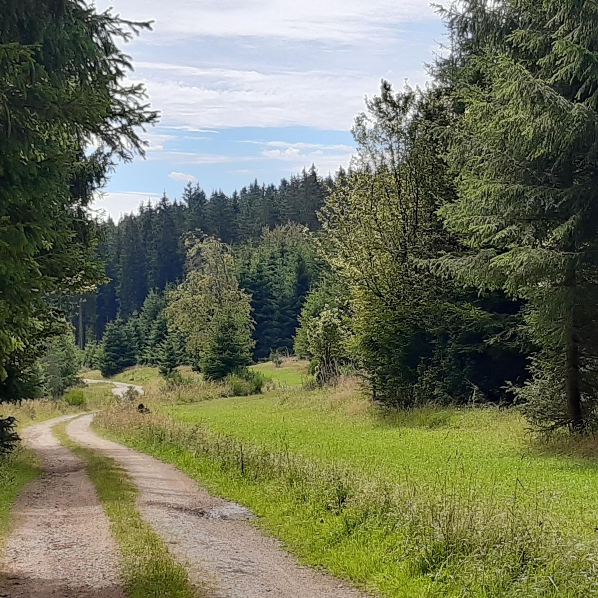
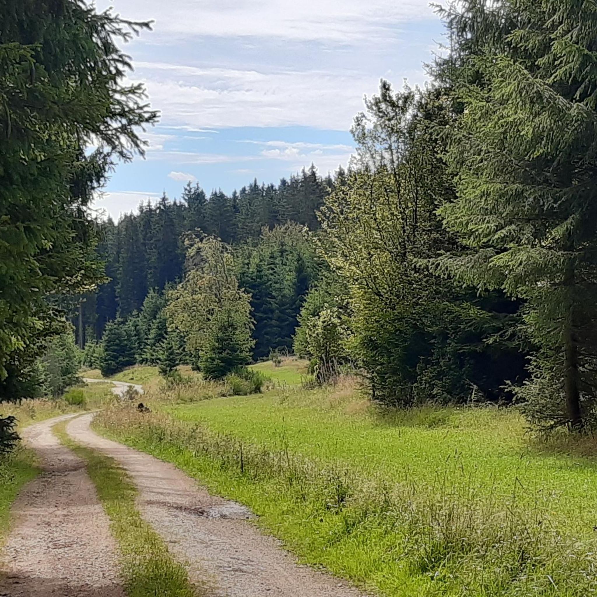
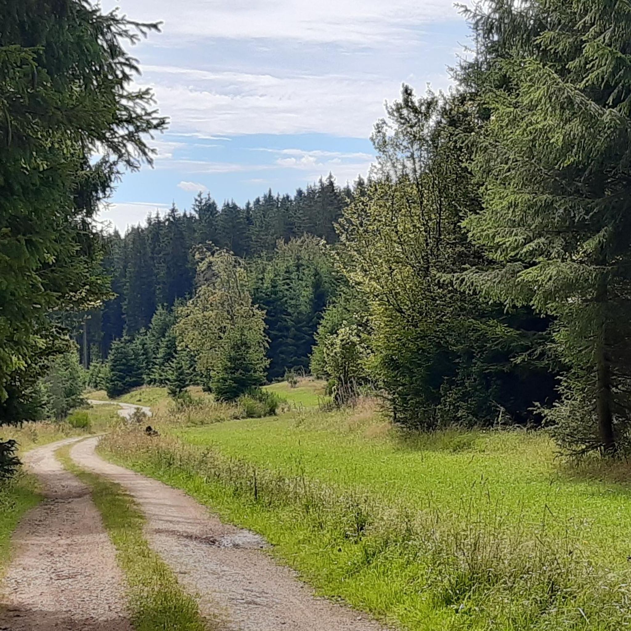
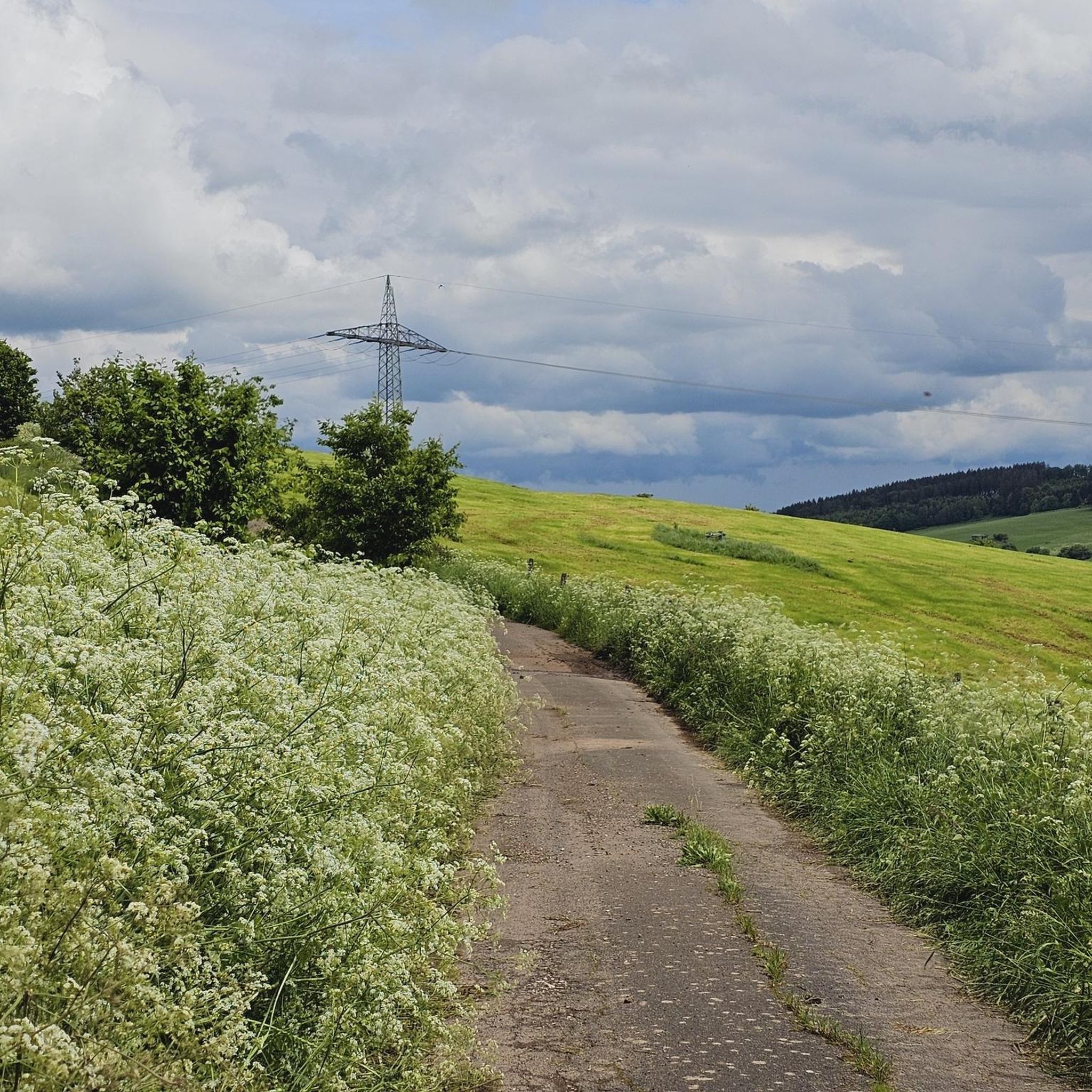
Tips from the Community


Beautiful spacious resting place. You really have extremely much space here.
0
0
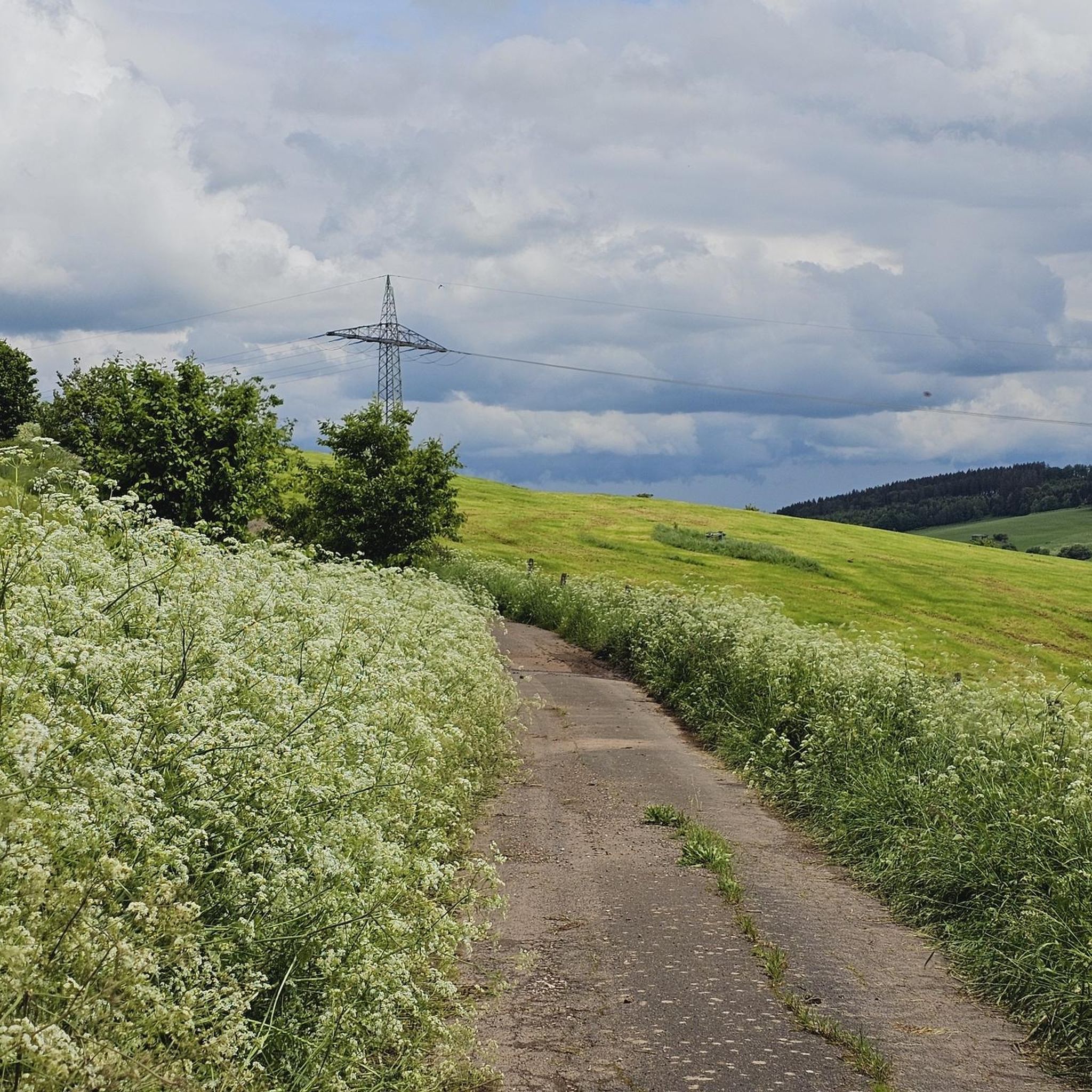
Rode today and it was very easy. Beautiful views in many places, hardly any in others, as there are hills or hedges/trees on the left and right. But a perfect path for relaxed cycling and making good progress.
0
0
Good solid cycle path. With good views in some places. But not everywhere.
0
0

The Christmas market takes place here on the first weekend of Advent.
0
0

The Bütgenbach dam was built between 1929 and 1932. The main function of the dam is to regulate the course of the Warche river. This created the lake of Bütgenbach. It is a starting point for beautiful, popular hiking routes: for example, a 10-kilometer walk can be made around the lake.
12
0

Dam construction period: 1954–1959 Height above valley floor: 54.6 m Crest length: 282 m Crest width: 5.7 m
0
0
Frequently Asked Questions
How many gravel bike trails are there around Scheid?
The Scheid area offers a wide variety of routes for gravel biking, with over 35 trails available. These routes cater to different skill levels, ranging from easy lakeside paths to more challenging hilly forest trails.
What are the difficulty levels of gravel bike trails in Scheid?
Gravel biking around Scheid caters to all skill levels. You'll find 2 easy routes, 11 moderate routes, and 23 difficult routes, ensuring there's a suitable challenge for every rider. The terrain varies from gentle paths around lakes to demanding climbs through forests.
Are there any family-friendly gravel bike trails in the Scheid region?
Yes, the region offers options suitable for families. While many routes involve hilly terrain, the area around Bostalsee features a 7-kilometer paved circular trail that is ideal for relaxed cycling. For specific gravel routes, look for the 'easy' rated trails, which are generally more suitable for a family outing.
What kind of landscapes can I expect to see while gravel biking around Scheid?
The Scheid region, nestled within the Saar-Hunsrück Nature Park, boasts diverse landscapes. You'll encounter extensive forests, such as the Buchwald, hilly terrain, and the scenic upper reaches of the Nahe River valley. The prominent Bostalsee also offers beautiful lakeside paths and views.
What are some notable natural attractions or viewpoints along the gravel routes?
While exploring the gravel trails, you can discover several natural highlights. Consider visiting the Daffodil Meadow in the Olef Valley or the Wild Daffodils at the Holzwarche during spring. For panoramic views, the Weißer Stein Observation Tower is a great stop.
Are there any circular gravel bike routes around Scheid?
Yes, many of the gravel routes in the Scheid area are designed as loops. For example, the popular View of the Olef Reservoir – Olef Reservoir loop from Schwalenbach offers a varied terrain experience. Another option is the Bütgenbach Lake Circular Trail – Bütgenbach Dam loop from NSG Ermberg, which provides extensive riding around the lake.
When is the best time of year for gravel biking in Scheid?
The region is particularly popular for cycling in May and August due to favorable weather conditions. However, the diverse landscapes, including forests and river valleys, offer enjoyable riding experiences throughout spring, summer, and early autumn. Winter riding is possible but may require checking local weather and trail conditions for snow or ice.
What do other gravel bikers enjoy most about the trails in Scheid?
The gravel trails around Scheid are highly rated by the komoot community, with an average score of 4.9 stars from over 10 reviews. Riders often praise the varied terrain, which includes a mix of field paths, forest trails, and some paved sections, as well as the scenic beauty of the Saar-Hunsrück Nature Park and the Bostalsee.
Are there places to stop for refreshments or shelter along the routes?
Yes, you can find various huts and shelters along the trails for a break. Notable options include the Hubertus Hut, the Wilsamhütte and Pond, and the Lichtenbach Shelter. The Bostalsee Recreation Center also offers cafes and restaurants.
Can I access the gravel trails around Scheid using public transport?
Nohfelden, a central hub in the region, is connected by public transport. Some cycling routes, like the Bahnradweg Sankt Wendeler Land, pass through Nohfelden, potentially offering access points. However, for specific trailheads, it's advisable to check local bus or train schedules and their proximity to your desired starting point.
Are there any longer, more challenging gravel tours available?
For those seeking a longer and more challenging ride, routes like the Singletrack Around Lake Bütgenbach – Bütgenbach Dam loop from Kronenburgerhütte offer a substantial distance of 60 km with significant elevation gain, typically taking over 4 hours to complete. These routes often traverse extensive forests and hilly terrain.
What are some other well-known cycling paths in the broader region that might include gravel sections?
Beyond the specific gravel routes, the wider region features several notable cycling paths that incorporate gravel sections. These include the Nationalpark-Radroute, which predominantly uses field and forest paths, and parts of the Nahe Cycle Path, which follows the varied nature of the Nahe river valley.
Most popular attractions around Scheid

Get inspired with the komoot mobile app


Explore more
Browse the best Gravel rides in other regions.
