The best gravel rides around Altenkunstadt
4.2
(8)
49
riders
52
rides
Gravel biking around Altenkunstadt offers a diverse landscape characterized by river valleys, rolling hills, and forested sections. The region includes areas like the Upper Main Jura and the edge of Franconian Switzerland, providing varied terrain for gravel cyclists. Routes often follow the Main River and its tributaries, passing through meadows and offering views of historical landmarks. The elevation changes are generally moderate, with some routes featuring more significant climbs.
Best gravel bike trails around Altenkunstadt
- The most popular gravel bike…
Last updated: May 22, 2026
5.0
(1)
2
riders
Hard gravel ride. Very good fitness required. You may need to push your bike for some segments of this route.
4.5
(2)
6
riders
45.9km
03:09
610m
610m
Hard gravel ride. Very good fitness required. You may need to push your bike for some segments of this route.

Sign up for free
8
riders
Hard gravel ride. Good fitness required. You may need to push your bike for some segments of this route.
2.0
(1)
4
riders
Hard gravel ride. Good fitness required. You may need to push your bike for some segments of this route.
4.0
(1)
4
riders
Moderate gravel ride. Good fitness required. Mostly paved surfaces. Suitable for all skill levels.
Get access to more routes and recommendations from other explorers.
Sign up for free
Already have an account?
Our route recommendations are based on thousands of hikes, rides, and runs completed by other people on komoot.
Start today with a free account
Your next adventure awaits.
Login or Signup
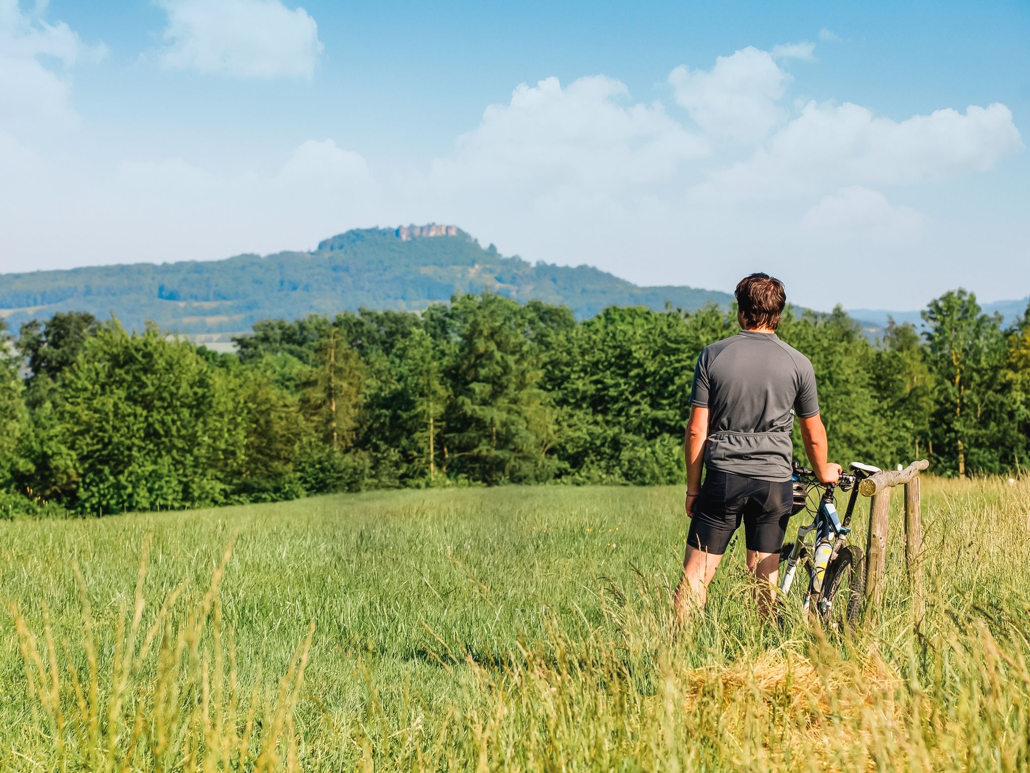
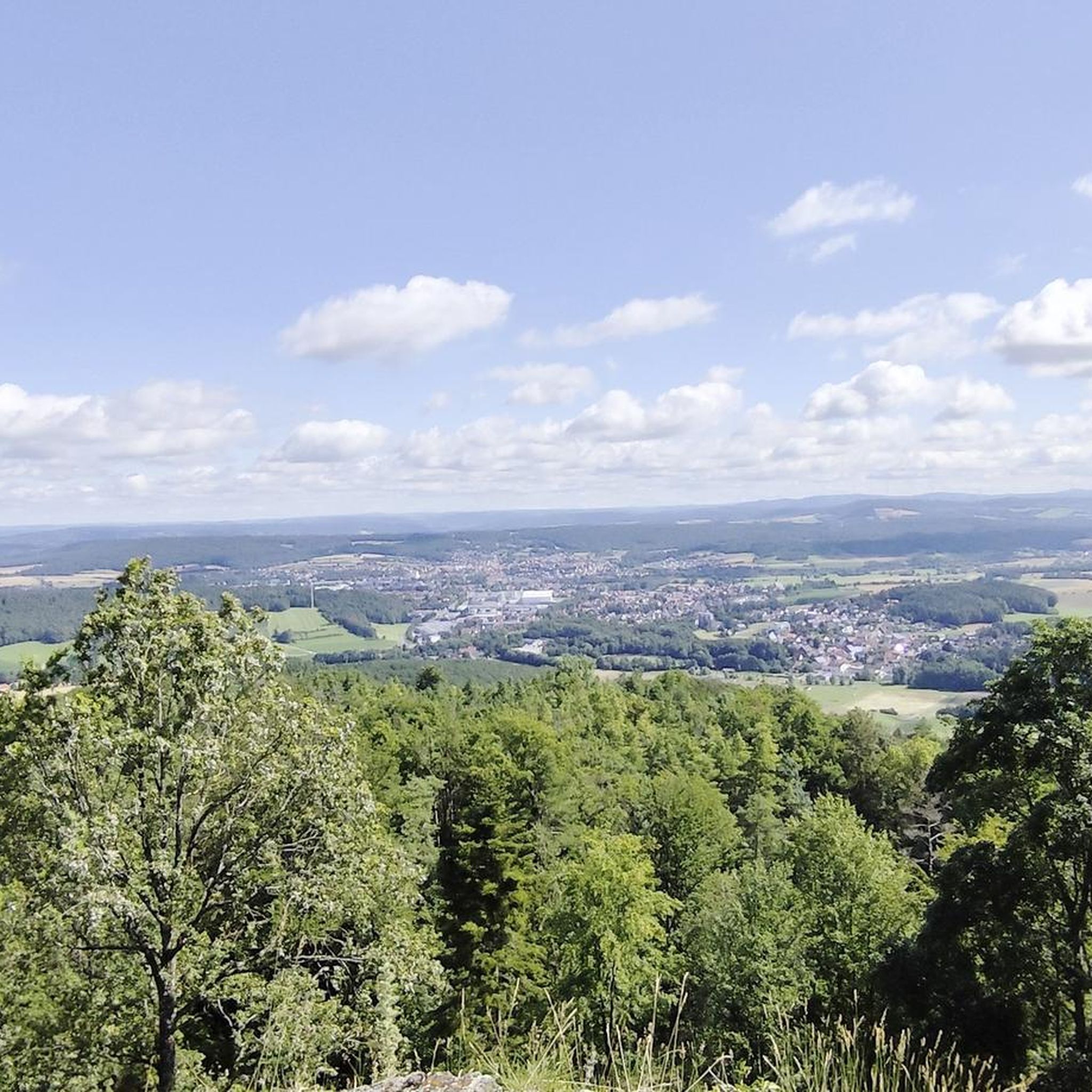
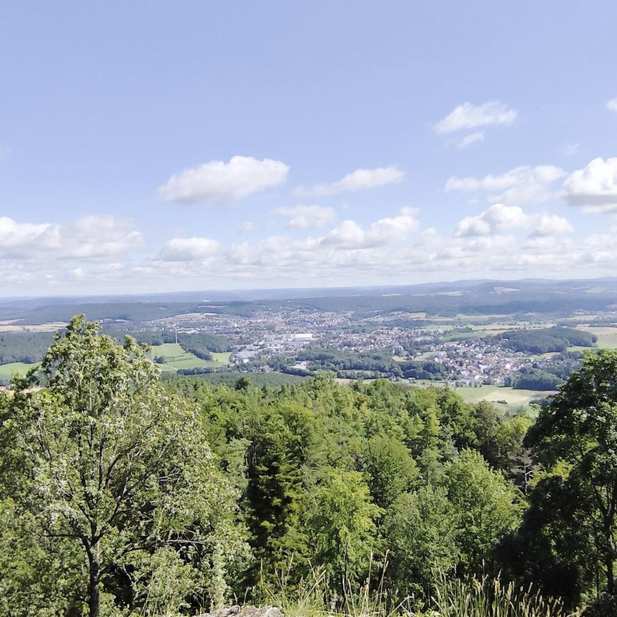
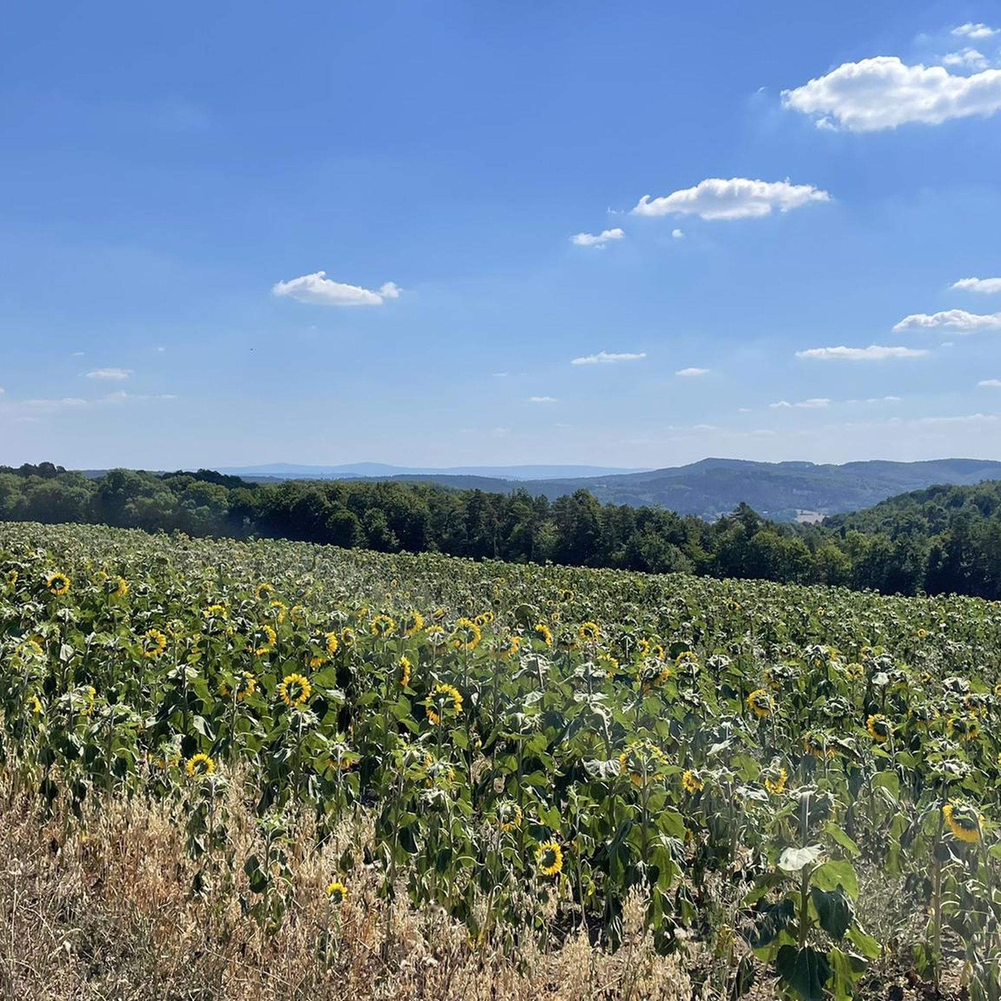
Other adventures around Altenkunstadt

Tips from the Community

Here the trail continues down along the road towards Weismain
0
0

This is a very beautiful castle.
3
0

Bio z u u züzozp ut
1
0

Rock cellar next to a historic stone bridge, the cycle path leads directly past it.
0
0

It's best to close your eyes and go through the water.
0
0

The houses and the banks of the Main River in Marktzeuln are beautiful. The traffic light system, however, is completely useless for cyclists. That's why I usually cycle slowly and leisurely along the sidewalk, ignoring the phases. It only gets narrow at the upper gate. Here, you might want to use the traffic lights as a guide.
0
0

View of the Main from the bridge.
6
2
Frequently Asked Questions
What kind of terrain can I expect on gravel bike trails around Altenkunstadt?
The region offers a diverse landscape, characterized by river valleys, rolling hills, and forested sections. You'll find routes along the Main River and its tributaries, passing through meadows and offering views of historical landmarks. The elevation changes are generally moderate, though some routes feature more significant climbs, especially towards the Upper Main Jura and the edge of Franconian Switzerland.
Are there any easy or beginner-friendly gravel bike trails in Altenkunstadt?
Yes, Altenkunstadt offers several easier options. There are 8 easy routes and 34 moderate routes suitable for those looking for a less strenuous ride. For example, the Kieswäsch Kiosk – View of Plassenburg Castle loop from Mainleus is a moderate 36.8-mile (59.2 km) route with minimal elevation gain, perfect for a relaxed ride.
What are some longer gravel biking routes for advanced riders?
For advanced riders seeking a challenge, there are 41 difficult routes available. A notable long and difficult option is Through three districts – from the Upper Main Jura to Franconian Switzerland, which spans 46.3 miles (74.6 km) and connects distinct geographical areas with varied surfaces and significant climbs.
Are there any family-friendly gravel bike routes in the area?
While specific 'family-friendly' designations aren't always explicit, routes with lower difficulty and less elevation are generally suitable. Consider the 8 easy routes available, or look for moderate routes that stick to river paths and flatter sections, such as those along the Main River, which often provide smoother surfaces and scenic views without steep climbs.
What do other gravel bikers enjoy most about the trails in Altenkunstadt?
The gravel biking routes in Altenkunstadt are highly rated by the komoot community, with an average score of 4.5 stars from over 60 reviews. Reviewers often praise the diverse landscape, including river valleys, open meadows, and forested sections, as well as the variety of options for different ability levels. Over 220 gravel bikers have used komoot to explore the area's varied terrain.
Are there any scenic loop trails for gravel biking around Altenkunstadt?
Yes, many routes are designed as loops, offering scenic views. For instance, the Mainaue, Kulmbach – View of Plassenburg Castle loop from Mainleus is a 28.2-mile (45.4 km) trail that takes you through the Main meadows with views of Plassenburg Castle. Another option is the Oberwallenstädter See Recreation Area – View of the Alte Mainbrücke loop from Burgkunstadt, a moderate 46.8-mile (75.3 km) loop.
What interesting landmarks or attractions can I see along the gravel bike routes?
Many routes pass by or near significant points of interest. You might encounter the impressive Basilica of the Fourteen Holy Helpers (Basilika Vierzehnheiligen), the Main Confluence, or historical structures like the Lower Gate (Untere Tor) in Lichtenfels. Natural formations such as the Kemitzenstein and Hohler Stein rock formation are also accessible.
Are there any routes that explore caves or unique rock formations?
Yes, the region is known for its geological features. You can find routes that lead near the Hohler Stein rock formation, the Bärental (Krassach Valley), or even the Countess's Cave. These natural monuments offer interesting detours for your gravel biking adventure.
What is the best time of year for gravel biking in Altenkunstadt?
The spring, summer, and autumn months generally offer the most pleasant conditions for gravel biking in Altenkunstadt. During these seasons, the weather is typically mild, and the natural scenery is at its best, with lush meadows and vibrant forests. Always check the local weather forecast before heading out, as conditions can vary.
Are there options for public transport access to the gravel trails?
Altenkunstadt and surrounding towns like Burgkunstadt and Mainleus are connected by regional public transport. While specific trailheads might require a short ride from a station, many routes are accessible from town centers, making it possible to combine your ride with public transport. It's advisable to check local bus and train schedules for the most convenient access points.
Where can I find parking for gravel biking routes in Altenkunstadt?
Parking is generally available in the towns and villages that serve as starting points for many routes, such as Altenkunstadt, Burgkunstadt, and Mainleus. Look for designated public parking areas, often near train stations, town centers, or recreational facilities. Always ensure you park legally and considerately.
Are there any cafes or refreshment stops along the gravel bike trails?
Many routes pass through or near small towns and villages where you can find local cafes, bakeries, or traditional Bavarian inns (Gasthäuser) for refreshments. Especially along the Main River, you'll often find opportunities to stop for a break and a bite to eat. Planning your route with potential stops in mind can enhance your experience.
Most popular routes around Altenkunstadt
Most popular attractions around Altenkunstadt

Get inspired with the komoot mobile app


Explore more
Browse the best Gravel rides in other regions.
