The best gravel rides around Marxheim
4.6
(61)
307
riders
47
rides
Gravel biking around Marxheim offers diverse terrain at the confluence of the Lech and Danube rivers, situated at the southern foothills of the Franconian Alb. The region features rolling hills, picturesque forests, and unpaved tracks, bordering the Altmühltal Nature Park. This landscape provides varied gradients and surfaces suitable for gravel exploration, including river cycle paths and elevated views over the valleys.
Best gravel bike trails around Marxheim
- The most popular gravel bike trail is Thierhaupten Bird Sanctuary – Between the…
Last updated: July 2, 2026
4.7
(7)
49
riders
Hard gravel ride. Good fitness required. You may need to push your bike for some segments of this route.
4.8
(12)
51
riders
Moderate gravel ride. Good fitness required. Mostly paved surfaces. Suitable for all skill levels.

Sign up for free
3.0
(1)
13
riders
34.2km
02:18
60m
60m
Moderate gravel ride. Good fitness required. Mostly paved surfaces. Suitable for all skill levels.
4.4
(10)
33
riders
Moderate gravel ride. Good fitness required. Mostly paved surfaces. Suitable for all skill levels.
4.0
(2)
5
riders
34.0km
02:08
340m
340m
Moderate gravel ride. Good fitness required. Mostly paved surfaces. Suitable for all skill levels.
Get access to more routes and recommendations from other explorers.
Sign up for free
Already have an account?
Our route recommendations are based on thousands of hikes, rides, and runs completed by other people on komoot.
Start today with a free account
Your next adventure awaits.
Login or Signup
Popular around Marxheim

From River to River: Cycling in Bavarian Swabia
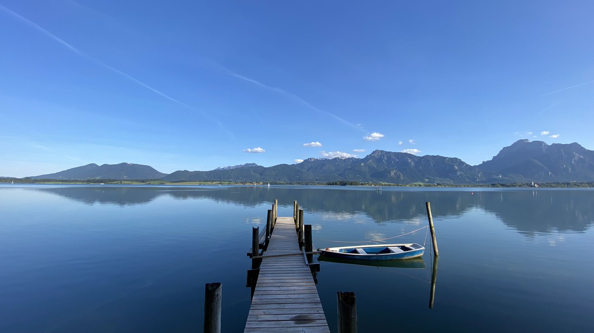
Cycle along Europe’s last wild river – Lech Cycle Route
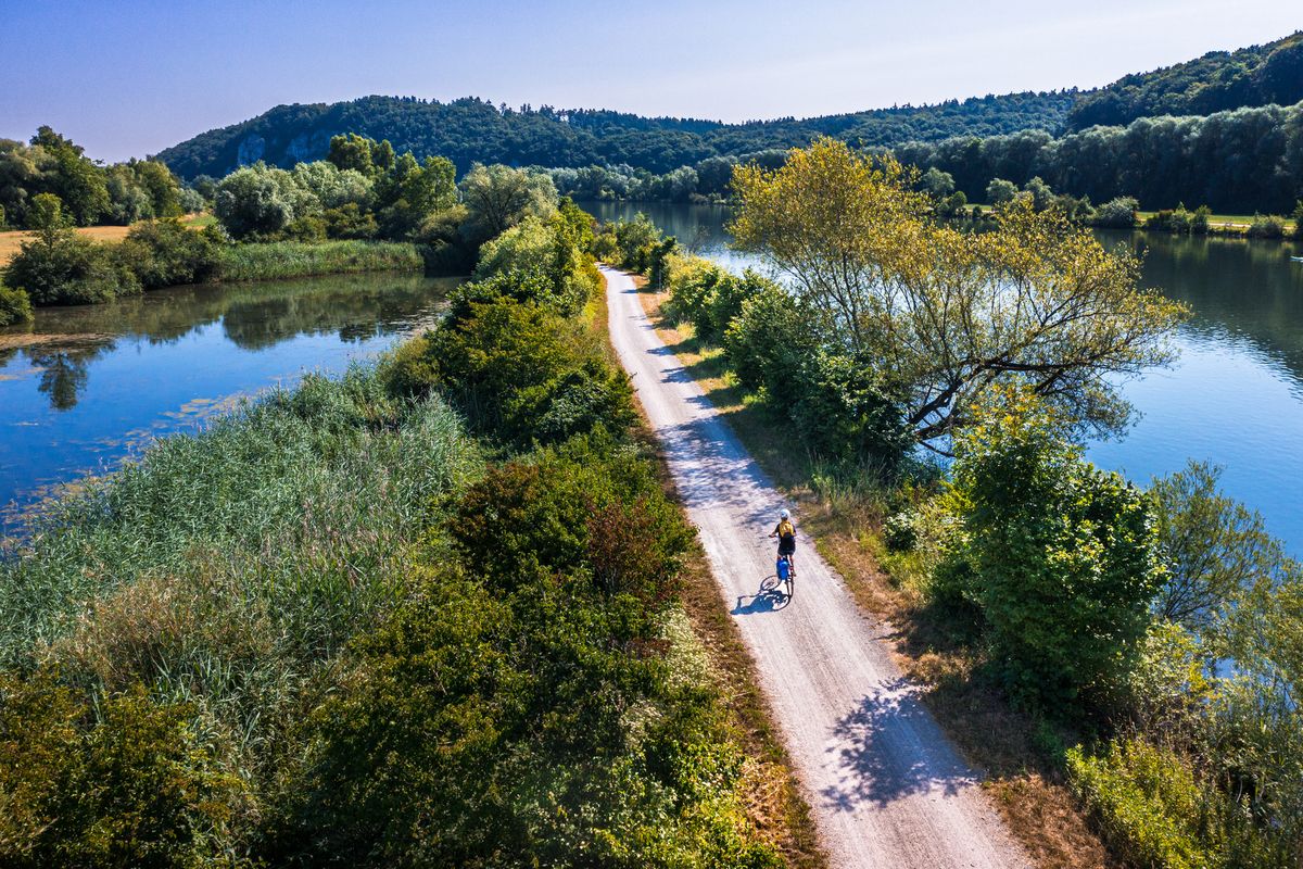
Cycling along rivers and lakes in Bavaria
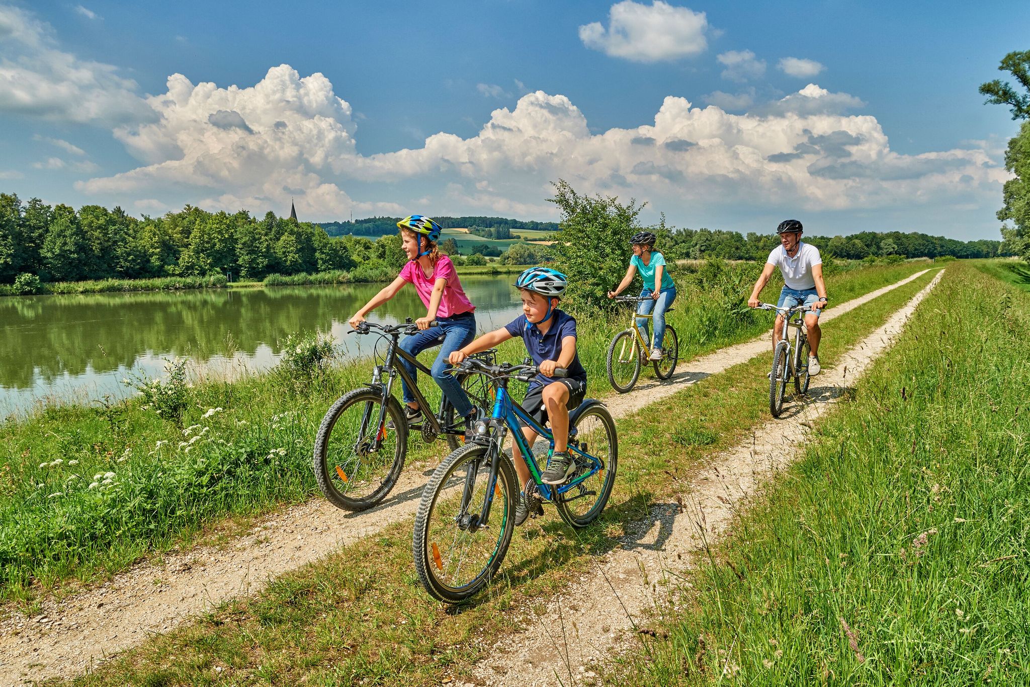
Bayerisch-Schwaben im Sommer: Wo Familien gemeinsam in die Pedale treten
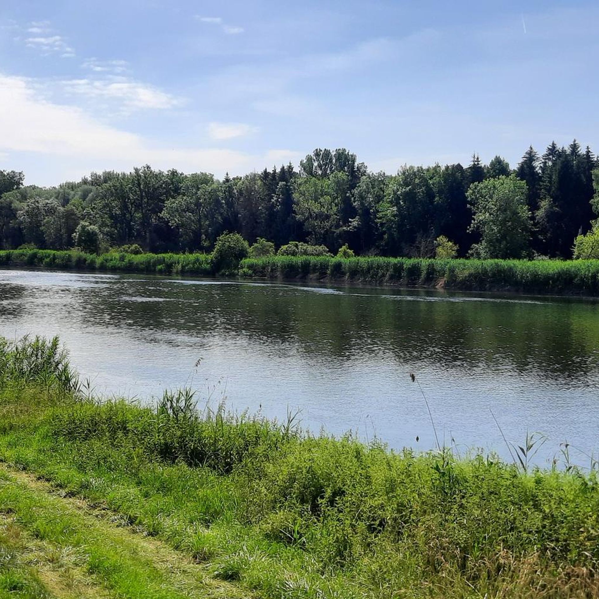
Cycling around Marxheim
Road Cycling Routes around Marxheim
Hiking around Marxheim
Running Trails around Marxheim
MTB Trails around Marxheim
Other adventures around Marxheim


Tips from the Community

Depending on the water flow in the Lech, north of the weir in Gersthofen, the "river" is only fed by the water flowing through the fish ladder, with the water being primarily diverted into the Lech canal.😒
0
0

Monheim's elongated market square reveals that the important trade route between Nuremberg and Augsburg once ran through here. The square is framed by historic city gates, which were built around 1340 along with the city wall. The carefully restored buildings of the old town recall a time when Monheim boasted numerous inns, horse-changing stations, and breweries. The town hall is also among the most striking buildings in the town center.
0
0

Monheim has a beautiful old town.
2
0

NEUBURG PLACE SIGN next to the mega photo point of Neuburg
2
0

Lots of great trails in the valleys.
1
0

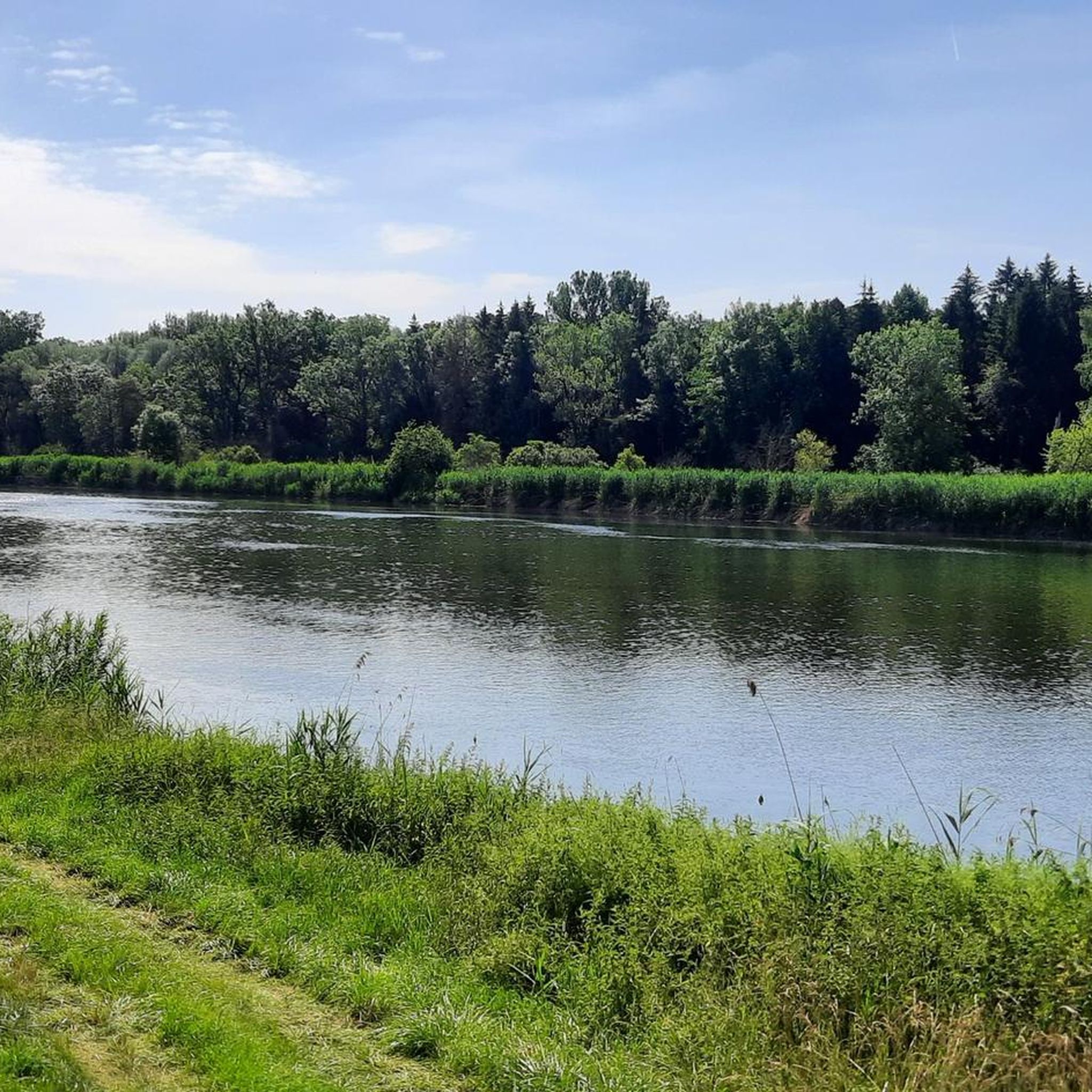
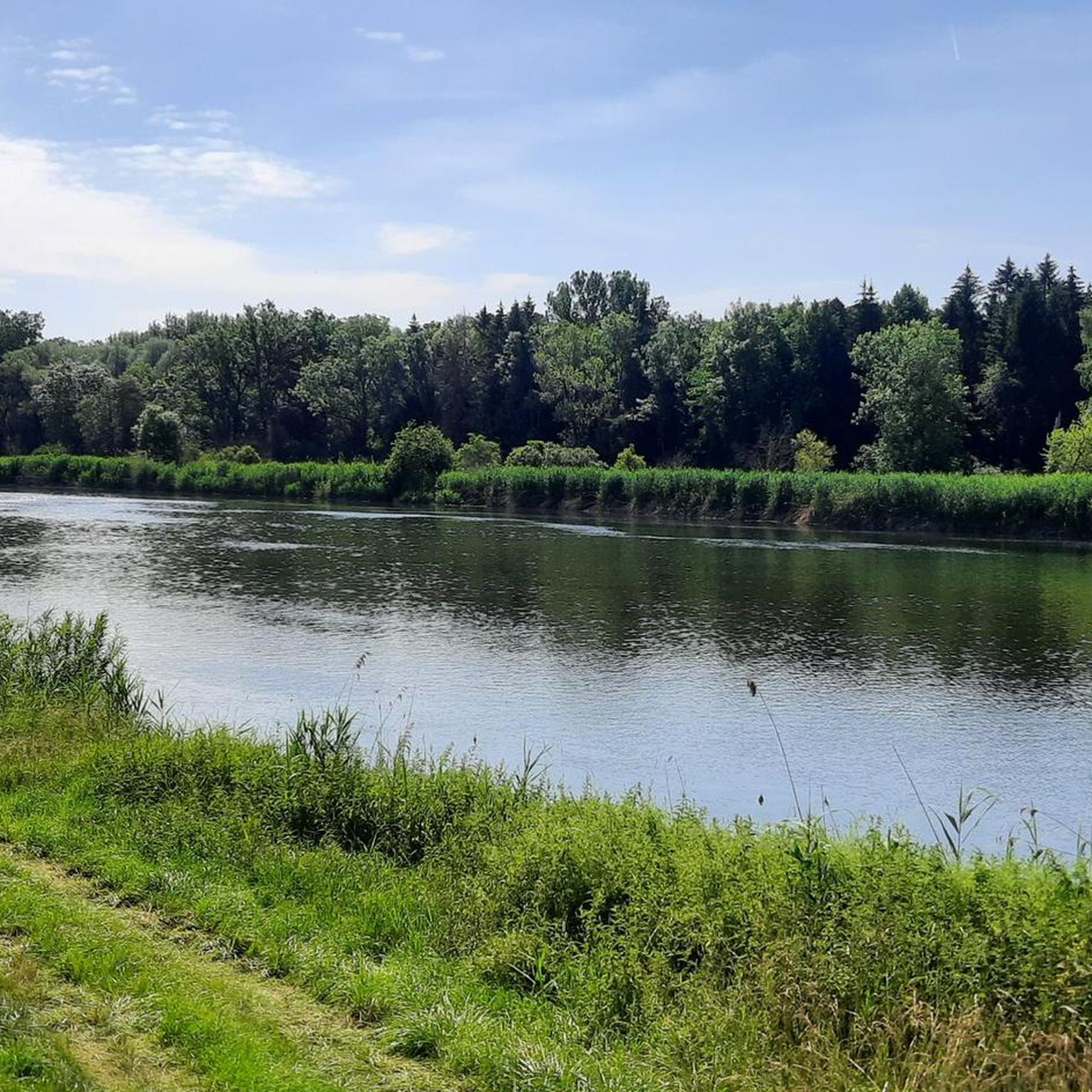
The Lech is a right tributary of the Danube. The 256 km long river originates in Vorarlberg in the Hochtannberg region at the confluence of the Spullerbach and Formarinbach streams in the Tannläger valley. It flows through Tyrol and southern Bavaria, where it empties into the Danube. Shortly before the Austrian-German border, it joins the Vils river, forms the artificial Lechfall near Füssen, and crosses Swabia and Upper Bavaria on its way. The largest cities on the Lech are Landsberg and Augsburg; in this city, it receives its largest tributary, the Wertach. The river empties into the Danube near Marxheim. Source: Wikipedia
1
0
The Lech is a right tributary of the Danube. The 256 km long river originates in Vorarlberg in the Hochtannberg region at the confluence of the Spullerbach and Formarinbach streams in the Tannläger valley. It flows through Tyrol and southern Bavaria, where it empties into the Danube. Shortly before the Austrian-German border, it joins the Vils river, forms the artificial Lechfall near Füssen, and crosses Swabia and Upper Bavaria on its way. The largest cities on the Lech are Landsberg and Augsburg; in this city, it receives its largest tributary, the Wertach. The river empties into the Danube near Marxheim. Source: Wikipedia
1
0
The Lech is a right tributary of the Danube. The 256 km long river originates in Vorarlberg in the Hochtannberg region at the confluence of the Spullerbach and Formarinbach streams in the Tannläger valley. It flows through Tyrol and southern Bavaria, where it empties into the Danube. Shortly before the Austrian-German border, it joins the Vils river, forms the artificial Lechfall near Füssen, and crosses Swabia and Upper Bavaria on its way. The largest cities on the Lech are Landsberg and Augsburg; in this city, it receives its largest tributary, the Wertach. The river empties into the Danube near Marxheim. Source: Wikipedia
1
0
Frequently Asked Questions
What kind of terrain can I expect on gravel bike trails around Marxheim?
Gravel biking around Marxheim offers a diverse landscape, featuring rolling hills, picturesque forests, and unpaved tracks. You'll find varied gradients and surfaces, including scenic river cycle paths along the Lech and Danube, as well as routes bordering the Altmühltal Nature Park and the Franconian Alb.
Are there gravel routes suitable for beginners in Marxheim?
Yes, Marxheim offers a range of gravel routes, including those suitable for beginners. While many routes are moderate, there are options that provide a gentler introduction to gravel biking. For example, routes along the river valleys tend to have less elevation gain. Overall, there are 4 easy routes available in the area.
How many gravel bike routes are available in the Marxheim area?
There are over 50 gravel bike routes available around Marxheim, offering a wide variety of distances and difficulty levels for exploration.
Are there any family-friendly gravel bike routes in Marxheim?
While specific family-designated gravel routes aren't highlighted, the region's extensive network of river cycle paths and flatter sections, particularly along the Danube and Lech, can be suitable for families. Look for routes with lower elevation gains and well-maintained surfaces for a more relaxed family outing.
What are some notable landmarks or attractions I can see along gravel bike routes near Marxheim?
Many gravel routes offer views of interesting landmarks. You might pass by the historic Rieder Gate in Donauwörth, the impressive Leitheim Castle, or the charming Rain am Lech town center. The Old Ludwig South-North Railway Tunnel Donauwörth is another unique point of interest.
Are there any scenic viewpoints on the gravel trails around Marxheim?
Absolutely! The region is known for its panoramic views. You can find breathtaking vistas over the Danube and Lech valleys from the elevated Jura heights. The Danube view from the Finkenstein is a particularly recommended spot for scenic rewards.
Can I find circular gravel bike routes in Marxheim?
Yes, many of the gravel bike routes around Marxheim are designed as loops, allowing you to start and end at the same point. For example, the route Thierhaupten Bird Sanctuary – Between the Lech and the Lech Canal loop from Rain is a popular circular option.
What do other gravel bikers enjoy most about riding in Marxheim?
The gravel biking experience in Marxheim is highly rated by the komoot community, with an average score of 4.7 stars. Riders often praise the diverse terrain, the scenic riverine landscapes, and the engaging routes that offer a mix of rolling hills and picturesque forests.
Are there any gravel routes that pass through gorges or unique natural features?
Yes, the area around Marxheim features some interesting natural formations. You can explore routes that take you near the Gailach Valley or the Gailach Dry Valley. The Jägersteig Rock Passage also offers a unique experience with views of the Urdonautal.
What is the best time of year for gravel biking in Marxheim?
The varied terrain of Marxheim is enjoyable throughout much of the year. Spring and autumn offer pleasant temperatures and beautiful scenery with changing foliage. Summer is also great, especially for rides along the rivers. While winter can be ridden, be mindful of potential snow or ice on unpaved sections.
Are there any gravel routes that lead to nearby towns or villages?
Many routes connect to or pass through charming nearby towns. For instance, the route Old Town, Neuburg an der Donau – View of Neuburg an der Donau loop from Rain offers views of the historic town of Neuburg an der Donau. The proximity to towns like Rain (7 km away) and Donauwörth (15 km away) makes them appealing destinations for longer rides.
How long are the gravel bike trails in Marxheim typically?
The gravel bike trails in Marxheim vary significantly in length. You can find shorter routes, such as the Old Town, Neuburg an der Donau – View of Neuburg an der Donau loop from Straß-Moos at 21.5 miles (34.6 km), which takes about 2 hours 36 minutes. Longer options, like the Thierhaupten Bird Sanctuary – Between the Lech and the Lech Canal loop from Rain, stretch to 44.7 miles (72.0 km) and can take over 5 hours to complete.
Most popular attractions around Marxheim

Get inspired with the komoot mobile app


Explore more
Browse the best Gravel rides in other regions.
