The best gravel rides around Dingolfing
4.3
(31)
148
riders
22
rides
Gravel biking around Dingolfing is characterized by routes that follow the Isar River and its floodplains. The landscape features numerous reservoirs and ponds, offering flat to gently rolling terrain suitable for various skill levels. This region provides a network of trails through agricultural areas and along waterways, with minimal significant elevation changes. Rolling hills and extensive forests contribute to the varied natural environments available for gravel biking.
Best gravel bike trails around Dingolfing
- The most popular gravel bike trail is…
Last updated: May 21, 2026
4.8
(6)
44
riders
37.4km
02:28
160m
160m
Moderate gravel ride. Good fitness required. Mostly paved surfaces. Suitable for all skill levels.
16
riders
72.6km
04:19
340m
340m
Moderate gravel ride. Good fitness required. Mostly paved surfaces. Suitable for all skill levels.

Sign up for free
5.0
(4)
20
riders
32.1km
01:56
130m
130m
Easy gravel ride. Great for any fitness level. Mostly paved surfaces. Suitable for all skill levels.
4.5
(8)
20
riders
Moderate gravel ride. Good fitness required. Mostly paved surfaces. Suitable for all skill levels.
4.8
(5)
13
riders
Easy gravel ride. Great for any fitness level. Mostly paved surfaces. Suitable for all skill levels.
Get access to more routes and recommendations from other explorers.
Sign up for free
Already have an account?
Our route recommendations are based on thousands of hikes, rides, and runs completed by other people on komoot.
Start today with a free account
Your next adventure awaits.
Login or Signup
Popular around Dingolfing
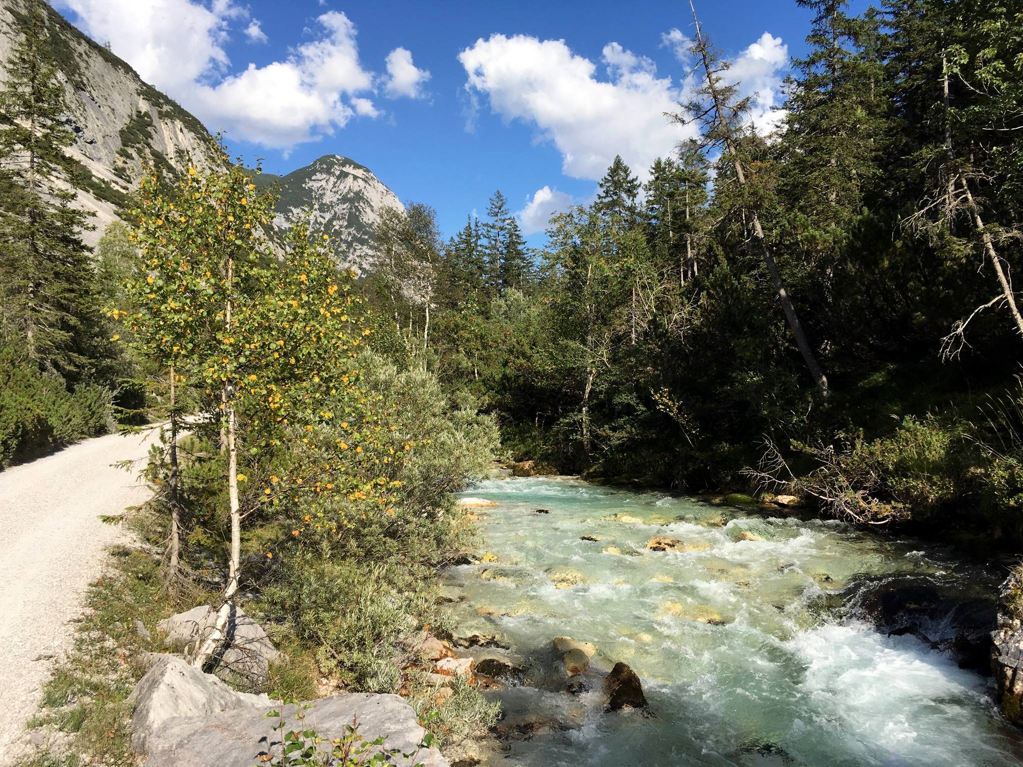
Isar cycle path — From Alpine peaks to the Auenwald (7 stages)
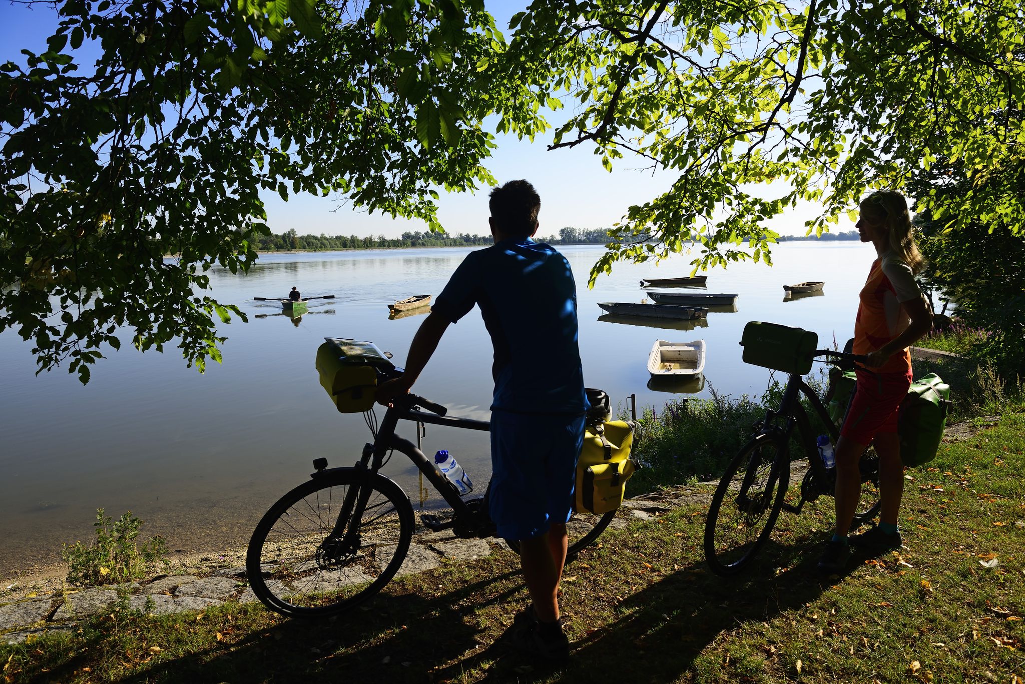
Niederbayerntour in 7 stages — Swim trunks, beer, baroque
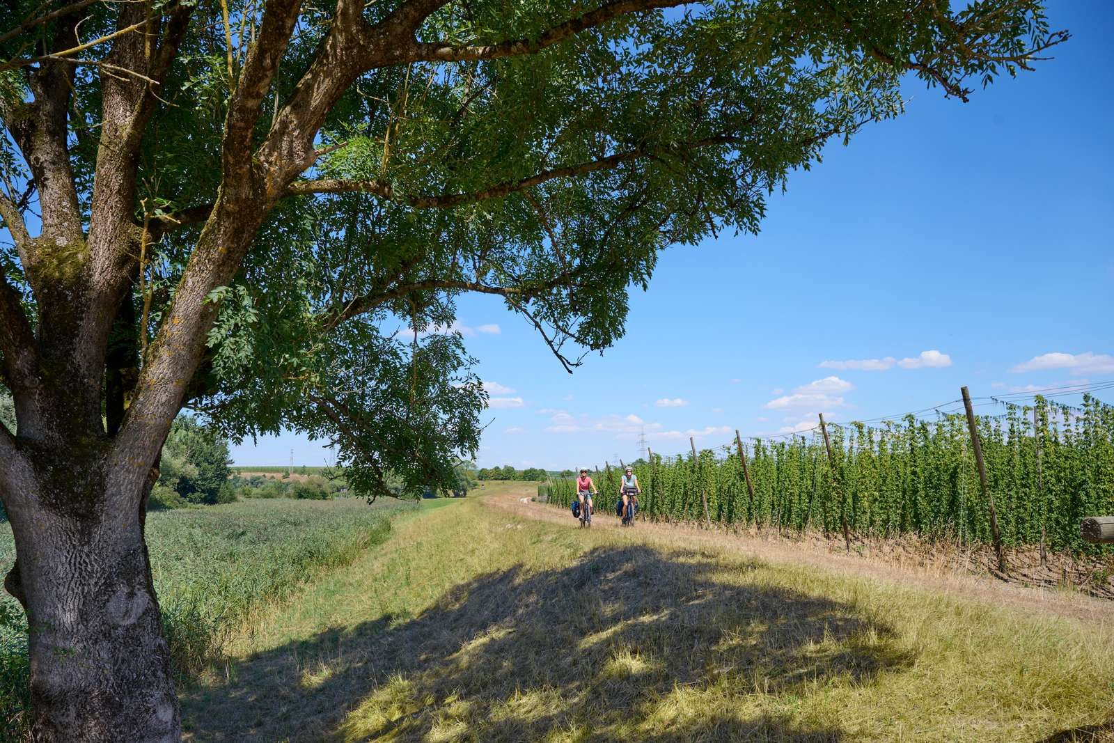
On the Niederbayerntour in 7 stages through the Bayerische Thermenland
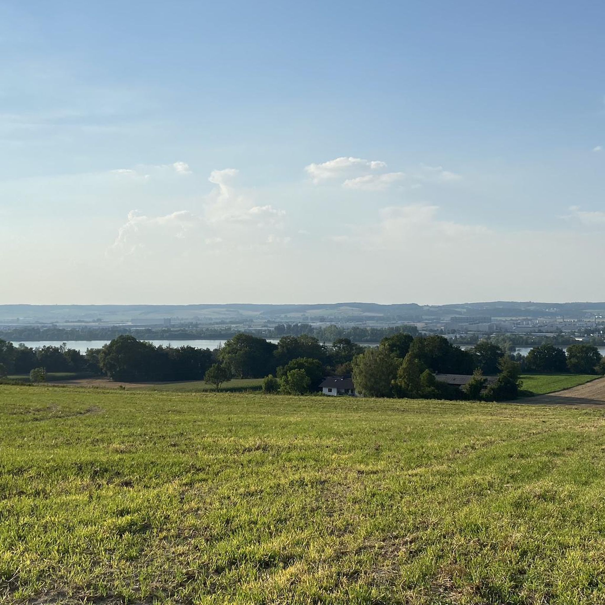
Cycling around Dingolfing
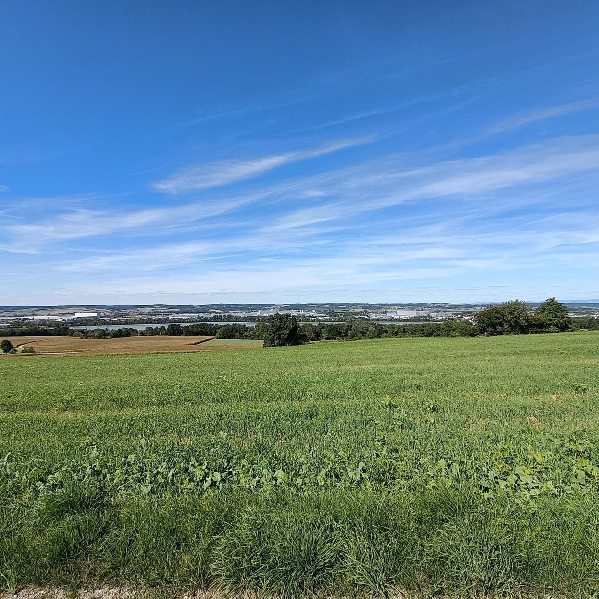
Hiking around Dingolfing
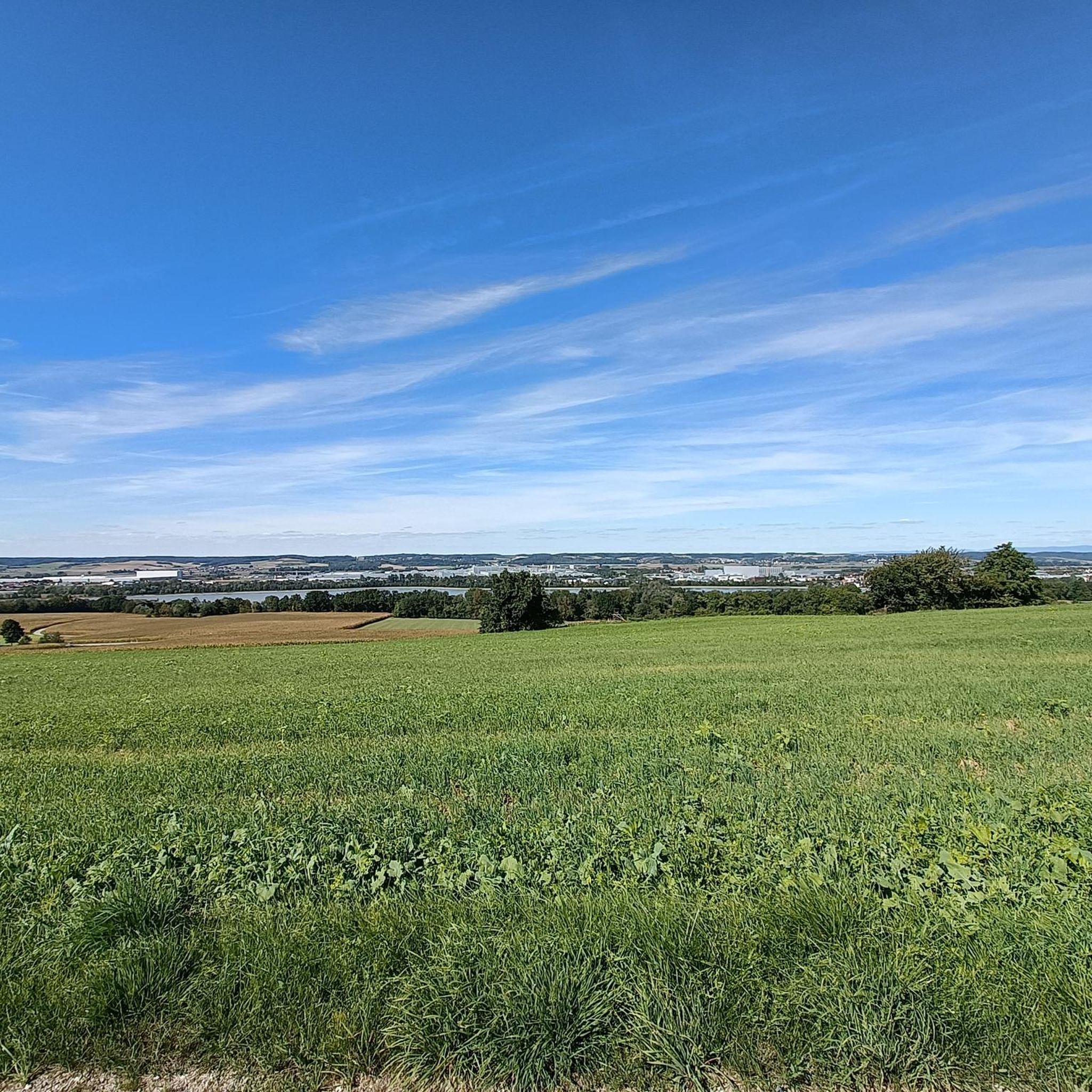
Running Trails around Dingolfing
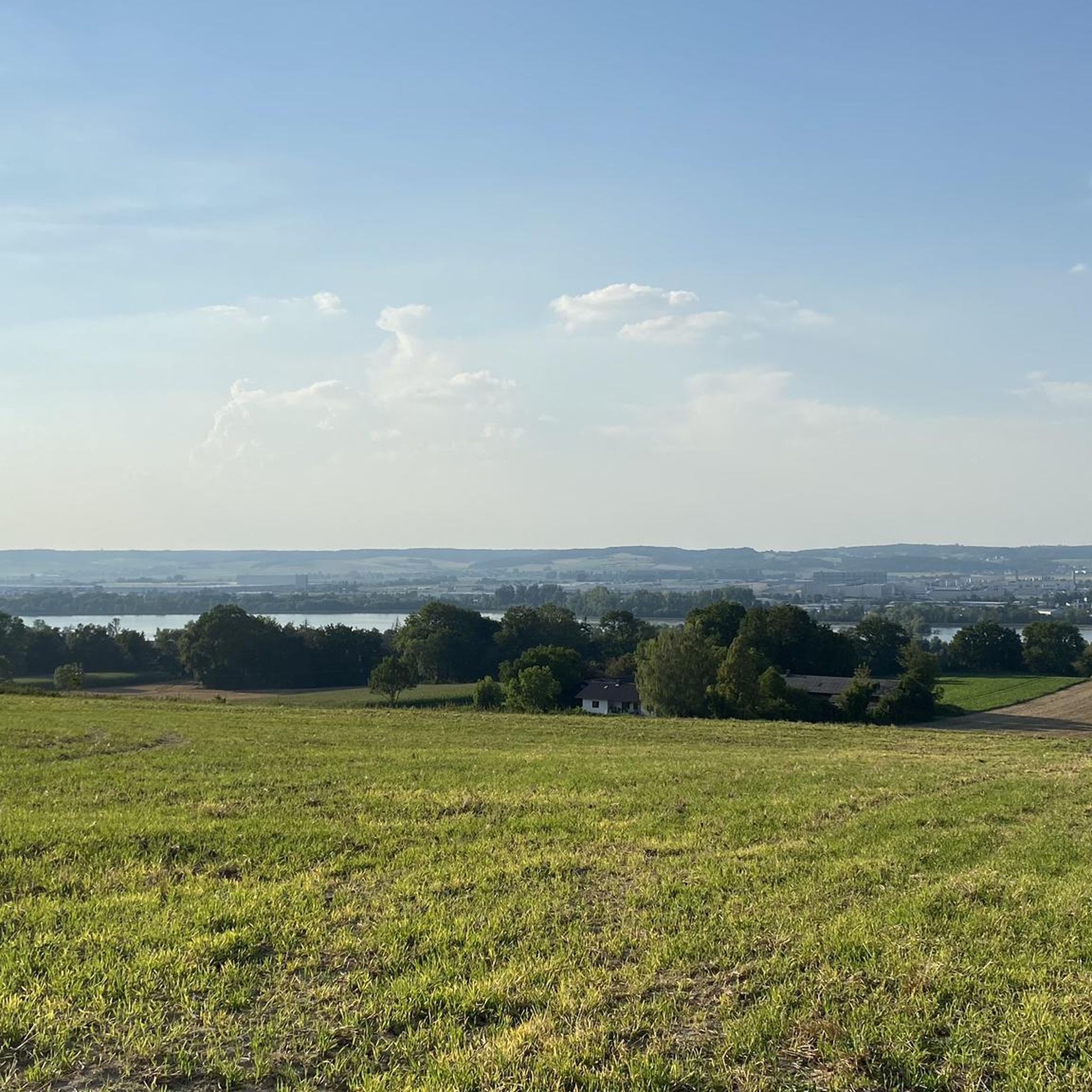
MTB Trails around Dingolfing
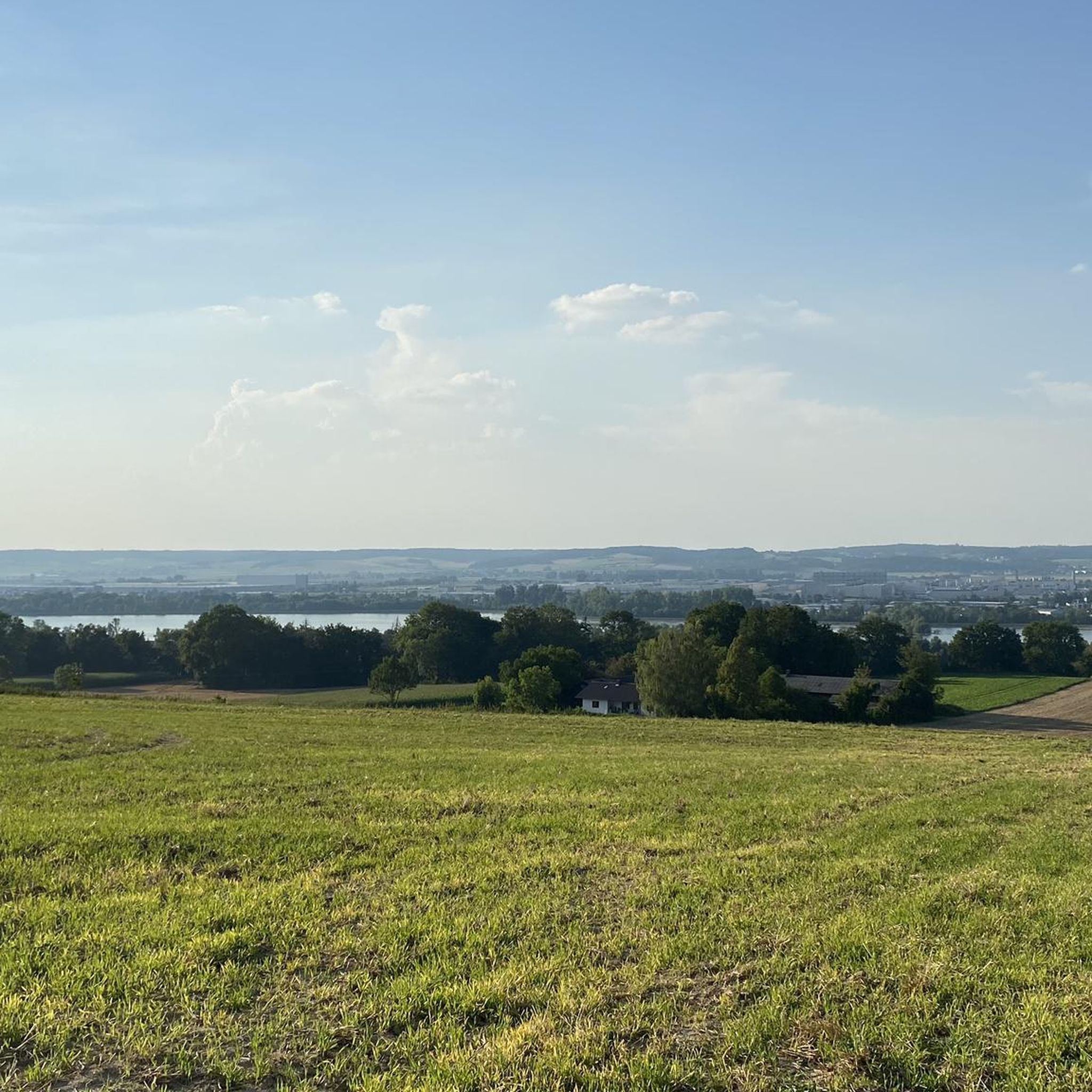
Road Cycling Routes around Dingolfing
Other adventures around Dingolfing


Tips from the Community

Inn P51 in Eichendorf
0
0

When crossing the weir there is the beautifully designed fish ladder
0
0

The fish overcome a height difference of eight meters. This cost approximately €6 million.
0
0

Even on hot days, wonderful to drive, nice and shady
1
0

The lower reaches of the Isar are no longer quite as exciting. Unfortunately, there is a lot of channeling. Only at the mouth does it become more natural again.
1
0
Beautiful reservoir, nice to do a longer Isar tour with the MTB
1
0

About 100 m downstream of the weir, the water-bearing ditches with small waterfalls flow into the Isar on both sides; you can take a look.
0
0

Very beautiful section of the Isar cycle path in the middle of nature
1
0
Frequently Asked Questions
How many gravel bike trails are available around Dingolfing?
There are over 35 gravel bike trails around Dingolfing, offering a variety of options for different skill levels. The komoot community has explored these routes over 200 times.
Are there easy gravel bike trails suitable for beginners in Dingolfing?
Yes, Dingolfing offers several easy gravel bike trails. The region's flat to gently rolling terrain, often following the Isar River and its floodplains, is ideal for beginners. An excellent option is the Mossandlweiher Ponds – Marienplatz, Dingolfing loop from Dingolfing, which is rated as easy and takes you through scenic pond areas.
Can I find long-distance gravel cycling routes around Dingolfing?
Absolutely. The network of trails along waterways and through agricultural areas is well-suited for longer rides. For a more challenging, long-distance option, consider the Isar Floodplains at Landau – Isar near Benkhausen loop from Dingolfing, which covers over 72 kilometers.
What kind of scenery can I expect on gravel bike trails in Dingolfing?
Gravel biking in Dingolfing is characterized by routes that follow the Isar River, its floodplains, and numerous reservoirs and ponds. You'll ride through agricultural landscapes and along quiet country roads, enjoying views of water bodies like the Isar Reservoir and Altheimer Reservoir. The terrain is generally flat to gently rolling.
Are there any interesting landmarks or natural attractions along the gravel routes?
Yes, the region offers several points of interest. You can explore natural monuments like the Isar between Dingolfing and Landau, or visit the unique Growing Rock (Stone Channel Usterling). The Dingolfing Reservoir is also a prominent feature on many routes.
What do other gravel bikers enjoy the most about gravel biking in Dingolfing?
The komoot community highly rates the gravel biking experience in Dingolfing, with an average score of 4.5 stars from over 50 reviews. Riders often praise the varied terrain, the scenic views of the Isar River and reservoirs, and the well-maintained paths that make for enjoyable rides.
Are there circular gravel bike routes available in Dingolfing?
Many of the gravel bike routes in Dingolfing are designed as loops, allowing you to start and end at the same point. For example, the popular View of the Isar Reservoir – Path Along Altheimer Reservoir loop from Niederviehbach is a great circular option.
What is the best time of year for gravel biking in Dingolfing?
The spring, summer, and early autumn months generally offer the best conditions for gravel biking in Dingolfing, with pleasant temperatures and lush scenery. While some routes may be accessible in winter, conditions can be variable due to snow or ice, especially on unpaved sections.
Are there any gravel routes that offer views of the Isar River?
Many gravel routes in Dingolfing closely follow the Isar River. The Isar Cycle Path near Usterling – Isar near Benkhausen loop from Niederviehbach is a prime example, offering extensive views along the Isar Cycle Path and the river's banks.
Can I find gravel bike trails with minimal elevation changes?
Yes, the Dingolfing region is characterized by flat to gently rolling terrain, making it ideal for gravel bikers seeking routes with minimal elevation changes. The routes primarily utilize existing cycle paths and quiet country roads, ensuring a relatively flat experience.
Are there any routes that pass by hydroelectric plants or other industrial landmarks?
Yes, some routes incorporate views of local infrastructure. The Isar River – Isar run-of-river hydroelectric plant loop from Wörth (Isar) is one such route that allows you to see the Isar run-of-river hydroelectric plant.
Where can I start my gravel bike tour in Dingolfing?
Many routes conveniently start from towns like Dingolfing or Niederviehbach, which typically offer parking facilities. You can also find routes originating from Wörth (Isar), providing various starting points depending on your preferred area of exploration.
Most popular routes around Dingolfing
Most popular attractions around Dingolfing

Get inspired with the komoot mobile app


Explore more
Browse the best Gravel rides in other regions.
