The best gravel rides around Aholming
4.6
(39)
348
riders
19
rides
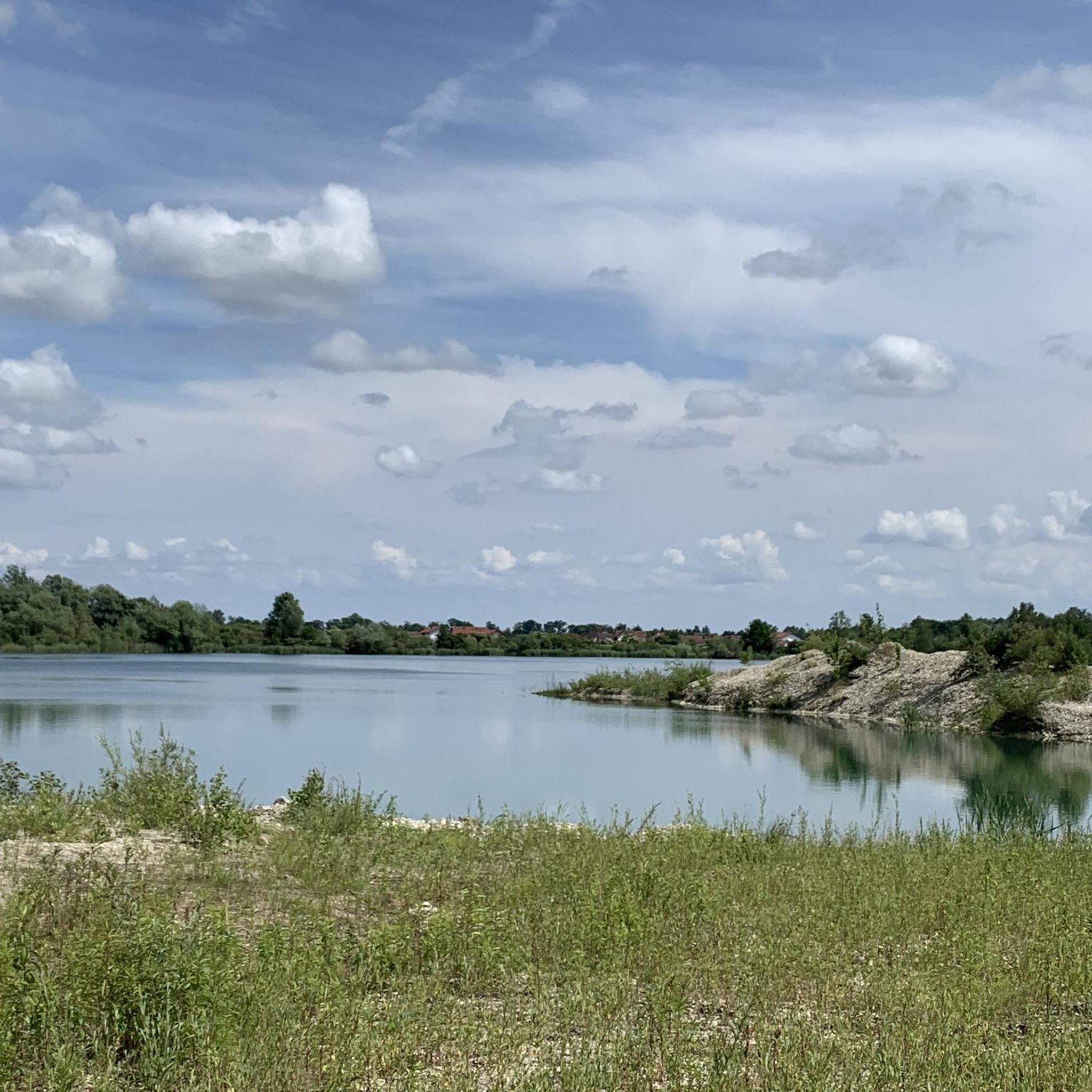
Gravel biking around Aholming offers diverse terrain through Lower Bavaria's landscapes. The region is characterized by its network of cycling routes that traverse mixed surfaces, including paved roads, unpaved paths, and forest trails. The Isar River, with its notable white gravel banks and confluence with the Danube, provides significant natural features for routes. Extensive forests and various natural settings contribute to the varied backdrop for outdoor activities.
Best gravel bike trails around Aholming
- The most popular gravel bike trail is…
Last updated: July 2, 2026
4.3
(14)
92
riders
Moderate gravel ride. Good fitness required. Mostly paved surfaces. Suitable for all skill levels.
3.0
(1)
14
riders
Moderate gravel ride. Good fitness required. Mostly paved surfaces. Suitable for all skill levels.

Sign up for free
4.8
(4)
26
riders
Moderate gravel ride. Good fitness required. Mostly paved surfaces. Suitable for all skill levels.
6
riders
Easy gravel ride. Great for any fitness level. Mostly paved surfaces. Suitable for all skill levels.
4.0
(1)
10
riders
33.6km
01:58
120m
120m
Easy gravel ride. Great for any fitness level. Mostly paved surfaces. Suitable for all skill levels.
Get access to more routes and recommendations from other explorers.
Sign up for free
Already have an account?
Our route recommendations are based on thousands of hikes, rides, and runs completed by other people on komoot.
Start today with a free account
Your next adventure awaits.
Login or Signup
Tips from the Community

very beautiful bridge away from cars and traffic
1
0

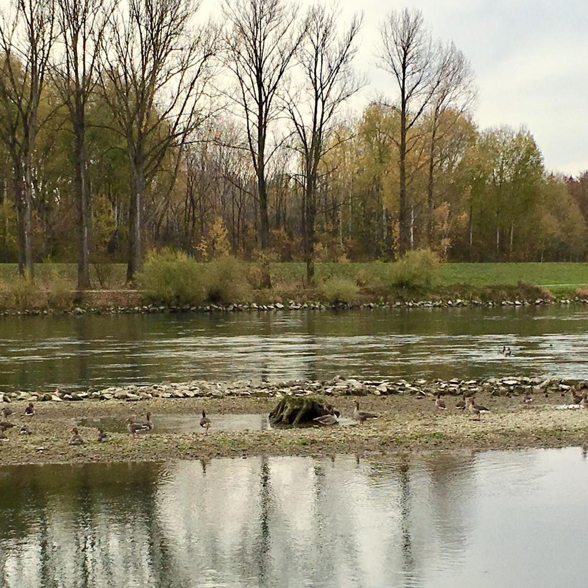
Once you have fought your way through the many greenery, you come out at the top where the Isar flows into the Danube
1
0

Opening Hours of the Isar Estuary Information Center April 1 to October 31 Wednesday to Sunday 10:00 AM to 5:00 PM The information center is also open on public holidays that fall on Mondays or Tuesdays. Admission is free
0
0

A beautifully situated beer garden near the mouth of the Isar River. If you continue towards Passau, you can't miss it.
1
0

Directly on the first leg of the trail toward the source of the Isar River, you'll experience the beautiful nature surrounding the Isar. The landscape is simply stunning for both humans and animals. You can observe the beavers at work and see so many animals. There are several places along the Isar in this section where you can linger for minutes, simply listening and watching.
1
0

Unfortunately, the Komoot recording stopped after the bridge. This was the end of the Isar Cycle Path. From there, we used Google Maps to search for a place to stop for a break. This may have been the reason for the interruption. From the bridge, we cycled back along the Danube Cycle Path to the ferry in Niederalteich, where our car was parked (parking lot at the recycling center), thus completing the loop. This was a total of about 40 km. We highly recommend this tour.
1
1

This section is only suitable for MTBs as the terrain is very difficult (beaver holes, fallen trees and just a dirt path).
1
0
Frequently Asked Questions
How many gravel bike trails are available around Aholming?
There are over 30 gravel bike routes around Aholming, offering a variety of experiences. These include 9 easy, 15 moderate, and 6 difficult trails, catering to different skill levels.
What kind of terrain can I expect on gravel bike trails around Aholming?
The gravel bike trails around Aholming feature diverse terrain, including paved roads, unpaved paths, and forest trails. You'll encounter sections along the Isar River with notable white gravel banks, as well as routes through picturesque forests and open landscapes, characteristic of Lower Bavaria.
Are there any family-friendly gravel bike routes in Aholming?
Yes, Aholming offers several easy gravel bike routes that are suitable for families. These trails typically feature gentler gradients and less technical terrain, allowing for a pleasant ride for all ages. Look for routes categorized as 'easy' to find the most family-friendly options.
What are some good options for beginner gravel bikers in Aholming?
Beginners can enjoy the easier routes around Aholming, which often follow river paths or less challenging forest trails. These routes provide a great introduction to gravel biking without overly technical sections. For example, the Isar Riverbank – Pielweichs Hydroelectric Dam loop from Plattling offers a moderate, accessible ride.
Are there any challenging gravel bike routes for advanced riders?
For advanced riders seeking more challenge, Aholming offers several difficult gravel bike routes. These trails may include steeper climbs, more technical descents, or longer distances, providing a more demanding experience. There are 6 difficult routes available for those looking to push their limits.
Can I find circular gravel bike routes in Aholming?
Yes, many of the gravel bike routes around Aholming are designed as loops, allowing you to start and finish at the same point. A popular example is the Isarmündung Nature Reserve – Deggendorf Market Square loop from Plattling, which takes you through scenic areas and back to your starting point.
What natural attractions can I see along the gravel bike trails?
The gravel bike trails in Aholming often pass through beautiful natural settings. You can explore the Isar River with its impressive white gravel banks and the Isarmündung Nature Reserve. There are also several lakes in the region, such as Luberweiher and the Pond in the Isarauen, offering tranquil views and opportunities for a break.
Are there historical or cultural landmarks near the gravel bike routes?
Yes, beyond natural beauty, Aholming and its surroundings offer cultural and historical sights. You might encounter landmarks like Winzer Castle Ruins or Natternberg Castle Ruins, providing interesting points of interest during your rides. The 18th-century pilgrimage church of St. Laurentius is also a notable local attraction.
What do other gravel bikers say about the trails in Aholming?
The gravel biking experience around Aholming is highly rated by the komoot community, with an average score of 4.5 stars from over 30 reviews. Riders often praise the diverse terrain, the scenic riverine paths, and the extensive forests that make for an engaging and varied ride.
What is the best time of year for gravel biking in Aholming?
The spring and autumn months generally offer the most pleasant conditions for gravel biking in Aholming, with mild temperatures and beautiful scenery. Summer can also be enjoyable, especially along shaded forest paths or near the rivers. Winter riding is possible, but be prepared for colder temperatures and potentially muddy or icy sections.
Are there places to eat or drink near the gravel bike trails?
While specific cafes and pubs directly on every trail are not guaranteed, the towns and villages along the routes, such as Plattling or Osterhofen, offer various options for refreshments and meals. Planning your route to pass through these areas can ensure you have access to food and drink.
How can I get to the gravel bike trails using public transport?
Aholming and nearby towns like Plattling are accessible by public transport, particularly regional train services. You can often transport your bike on these trains, making it convenient to reach starting points for various gravel routes. Check local public transport schedules for specific connections and bike carriage policies.
Where can I park my car when gravel biking in Aholming?
Designated parking areas are typically available in the main towns and villages around Aholming, such as Plattling or Osterhofen, which serve as common starting points for many routes. Look for public parking facilities in these areas, often near train stations or town centers, to safely leave your vehicle while you ride.
Most popular attractions around Aholming

Get inspired with the komoot mobile app


Explore more
Browse the best Gravel rides in other regions.
