The best gravel rides around Bayerbach
4.9
(6)
42
riders
10
rides
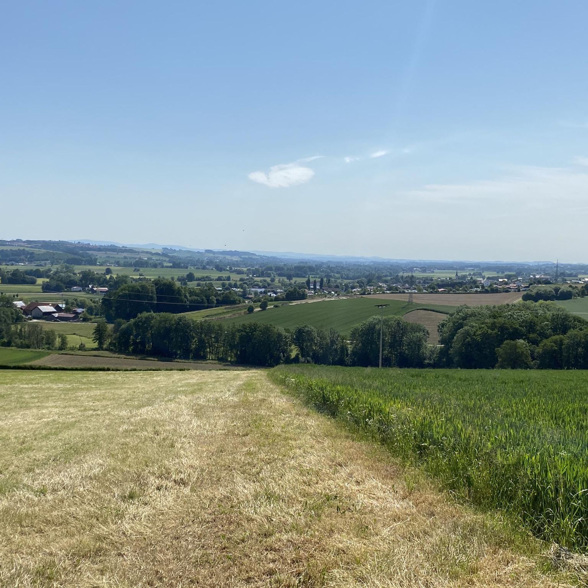
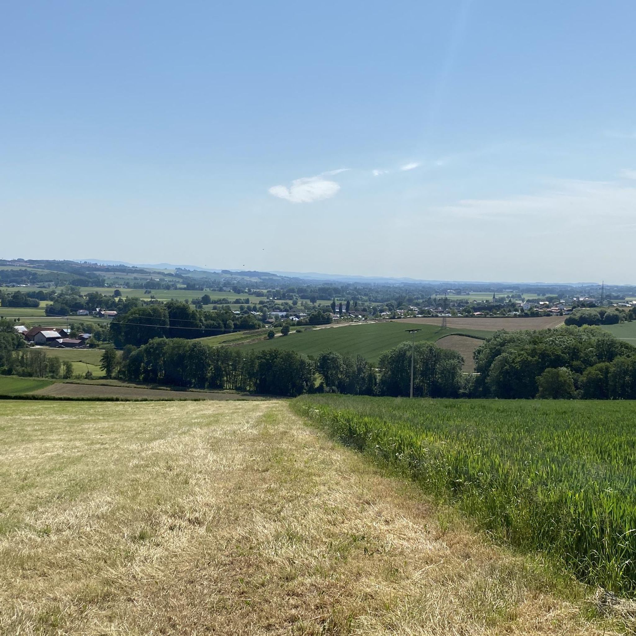
Gravel biking around Bayerbach offers diverse landscapes within the scenic region of Lower Bavaria, Germany. The area is characterized by rolling hills and river valleys, particularly within the Isar-Inn Hills, providing varied gradients suitable for gravel riding. Riders can explore an extensive network of forest paths, quiet roads, and unpaved routes, often away from heavy traffic. This topography allows for a mix of experiences, from relaxed rides to more challenging routes with significant elevation changes.
Best gravel bike trails around…
Last updated: July 2, 2026
6
riders
50.8km
03:16
600m
600m
Hard gravel ride. Very good fitness required. Mostly paved surfaces. Suitable for all skill levels.
4.5
(2)
11
riders
Hard gravel ride. Very good fitness required. Mostly paved surfaces. Suitable for all skill levels.

Sign up for free
5.0
(1)
3
riders
37.2km
02:35
520m
520m
Hard gravel ride. Very good fitness required. You may need to push your bike for some segments of this route.
2
riders
12.2km
00:56
200m
200m
Moderate gravel ride. Good fitness required. Mostly paved surfaces. Suitable for all skill levels.
5
riders
Hard gravel ride. Very good fitness required. Mostly paved surfaces. Suitable for all skill levels.
Get access to more routes and recommendations from other explorers.
Sign up for free
Already have an account?
Our route recommendations are based on thousands of hikes, rides, and runs completed by other people on komoot.
Start today with a free account
Your next adventure awaits.
Login or Signup
Tips from the Community

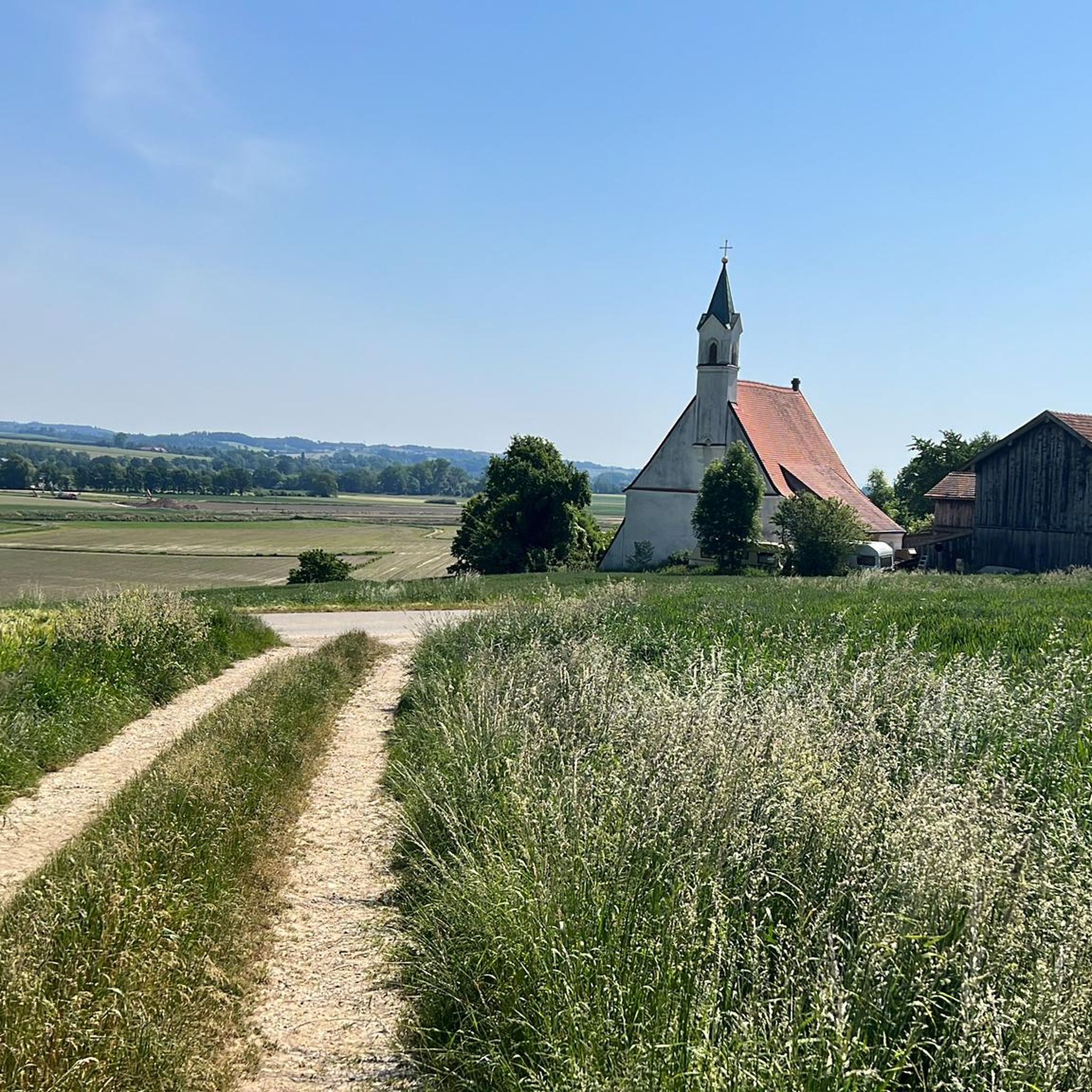
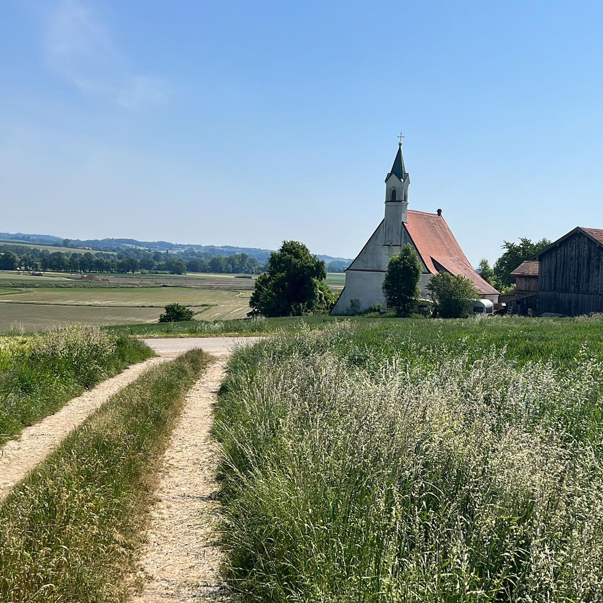
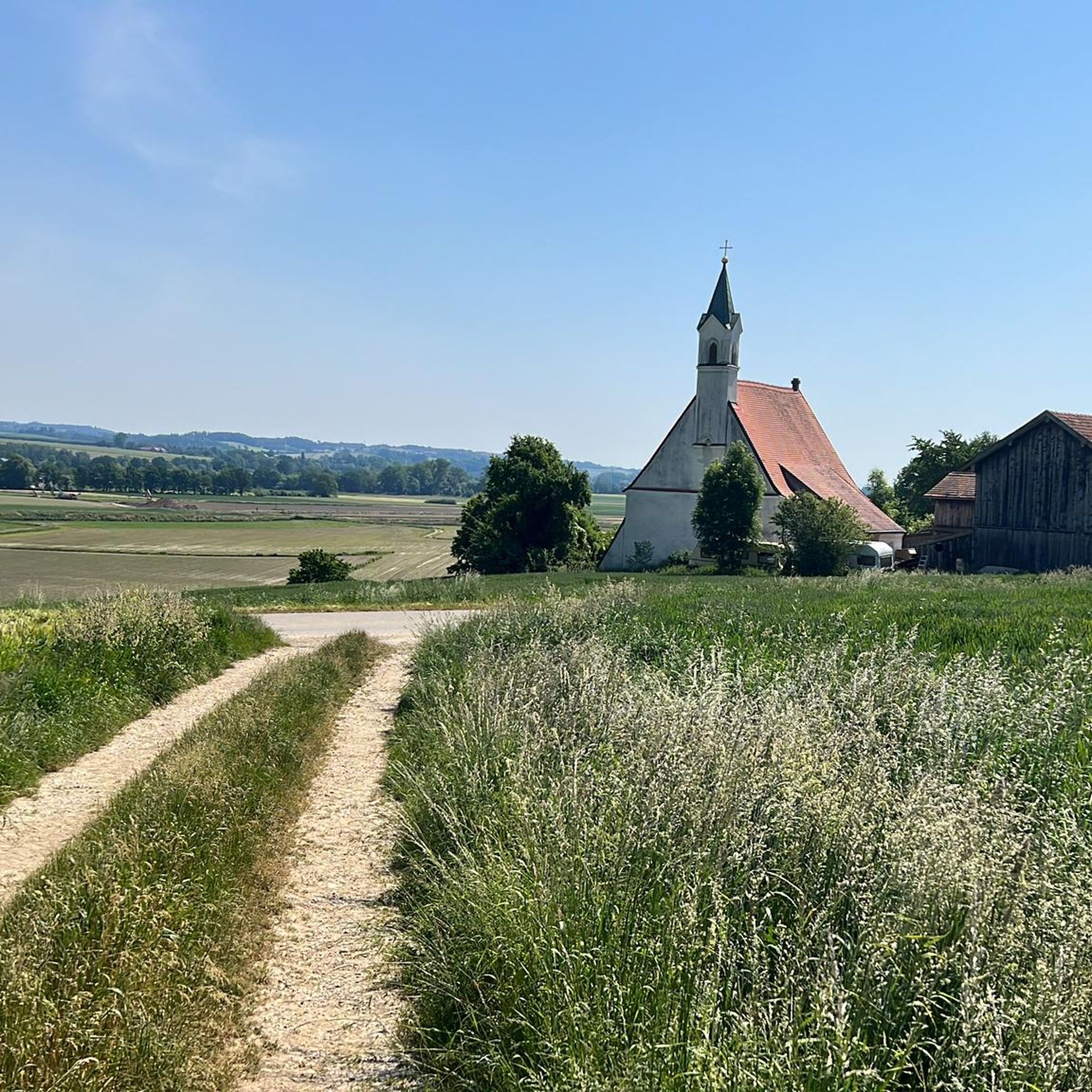
The huts are very nicely located. It is a quiet place to stop, whether on foot, by bike or by car.
0
0

All with old trees - beautiful cycle path
0
0

Bad Griesbach is a spa and holiday resort in Lower Bavaria's spa triangle – known for its wellness thermal baths and Europe's largest contiguous golf resort. In both the town and the spa center, you'll find plenty of good places to eat and stay if you'd like to take a break during your trip. www.bad-griesbach.de
0
0

Tough trails - really fun
3
0
The Devil's Rock is formed by two large stone slabs leaning against each other at an angle, forming a cave.
3
0
The trail is approximately 4 km long.
4
0

small beer garden at the golf course
0
0
Nice after-work tour for food and drinks
0
0
Frequently Asked Questions
How many gravel bike trails are available around Bayerbach?
There are 16 gravel bike trails around Bayerbach, offering a diverse range of experiences. These routes are highly rated by the komoot community, with an average score of 4.7 stars.
Are there easy gravel bike trails suitable for beginners in Bayerbach?
Yes, Bayerbach offers 2 easy gravel bike trails perfect for beginners or those looking for a relaxed ride. These routes typically feature gentler gradients and less challenging terrain.
What kind of terrain can I expect on gravel bike trails in Bayerbach?
Gravel biking in Bayerbach features a diverse landscape of rolling hills and river valleys within the Isar-Inn Hills. You'll encounter an extensive network of forest paths, quiet roads, and unpaved routes, often away from heavy traffic. The region's topography provides varied gradients, from relaxed sections to more challenging climbs.
Are there any circular gravel bike routes in Bayerbach?
Many of the gravel routes in Bayerbach are designed as loops, allowing you to start and finish at the same point. For example, the difficult route Drachenfelsen Boulder – View of Triftern loop from Anzenkirchen is a 50.8 km circular trail.
What are some scenic highlights or landmarks I can see along the gravel bike trails?
The trails often lead through picturesque natural settings. You might encounter natural monuments like the Crocodile Rock or the Teufelsfelsen (Devil's Rocks). Some routes also pass by charming features such as the small wooden chapel on the Small wooden chapel at the Arterhof – Scenic view of Bad Griesbach loop from Bad Birnbach route.
Are there any routes that pass by lakes or rivers?
Yes, some routes incorporate water features. For instance, the moderate route Avenue near Pfarrkirchen – Bridge over the Rott River loop from Bad Birnbach crosses the Rott River. You can also find highlights like Gries Bathing Lake and the Natural Swimming Pool Rotthalmünster near some trails.
What is the best time of year for gravel biking in Bayerbach?
The diverse topography of Bayerbach, with its forest paths and quiet roads, makes it enjoyable for gravel biking across multiple seasons. Spring and autumn offer pleasant temperatures and vibrant scenery. Summer provides beautiful shady forest paths, while winter can offer a unique experience, though some paths might be more challenging due to conditions.
Are there any challenging gravel bike routes for experienced riders?
Absolutely. Bayerbach offers 9 difficult gravel bike routes for experienced riders seeking a challenge. These routes often feature significant elevation changes and longer distances. An example is the View of Triftern – Avenue near Pfarrkirchen loop from Bad Birnbach, a demanding 37.2 km trail.
Can I find places to eat or drink near the gravel bike trails in Bayerbach?
While specific cafes or pubs directly on every trail are not listed, Bayerbach and its surrounding villages like Bad Birnbach offer various options for refreshments and accommodation. The region's charm means you'll likely find places to stop and refuel in nearby towns.
What do other gravel bikers enjoy most about the trails in Bayerbach?
The komoot community highly rates the gravel biking experience in Bayerbach, with an average score of 4.7 stars from over 4 reviews. Riders often praise the diverse landscape, the extensive network of quiet forest paths, and the opportunity to explore away from heavy traffic, appreciating the mix of athletic challenge and natural beauty.
Are there any family-friendly gravel biking options in Bayerbach?
While specific 'family-friendly' designations are not provided for all routes, the 2 easy trails available would be suitable for families with some biking experience. These routes generally have less elevation gain and are shorter in distance, providing a more relaxed outing.
What is the longest gravel bike route available in Bayerbach?
The longest gravel bike route listed is the Drachenfelsen Boulder – View of Triftern loop from Anzenkirchen, which spans 50.8 km and is considered a difficult trail, taking approximately 4 hours and 12 minutes to complete.
Most popular attractions around Bayerbach

Get inspired with the komoot mobile app


Explore more
Browse the best Gravel rides in other regions.
