The best gravel rides around Großheirath
4.4
(20)
100
riders
54
rides
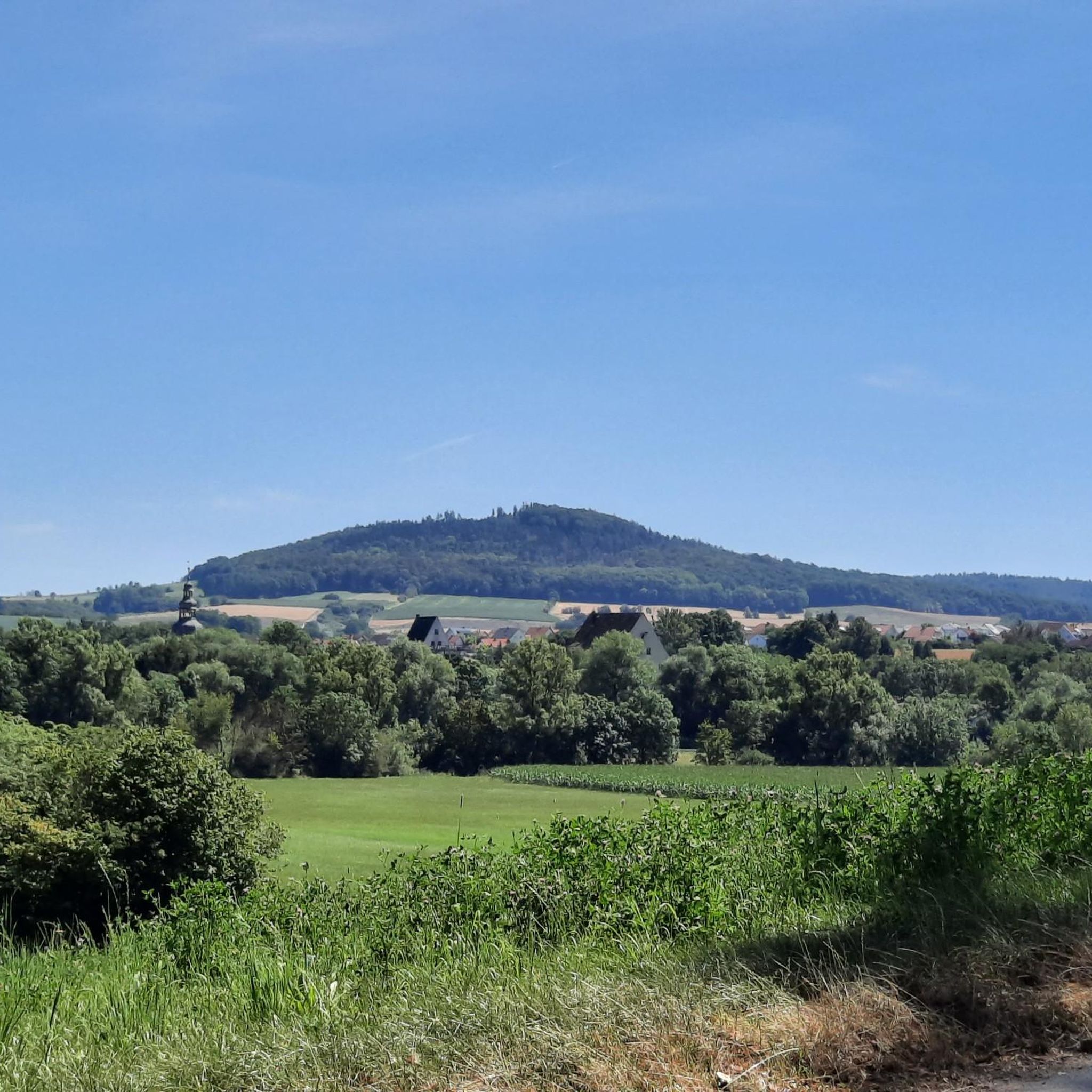
Gravel biking around Großheirath offers a diverse landscape characterized by rolling hills, dense woodlands, and open agricultural fields. The region features a mix of paved and unpaved paths, providing varied terrain for gravel cyclists. Riders can expect routes that traverse river valleys and ascend to viewpoints. The area's topography supports both leisurely rides and more challenging climbs.
Best gravel bike trails around Großheirath
- The most popular gravel bike trail is Rothenberg Gate Tower – Rotenhan Castle Ruins loop from Großheirath…
Last updated: October 6, 2026
5.0
(1)
10
riders
37.6km
02:17
470m
460m
Hard gravel ride. Very good fitness required. Mostly paved surfaces. Suitable for all skill levels.
4.3
(3)
16
riders
62.4km
03:39
600m
600m
Hard gravel ride. Very good fitness required. Mostly paved surfaces. Suitable for all skill levels.

5.0
(1)
12
riders
Moderate gravel ride. Good fitness required. Mostly paved surfaces. Suitable for all skill levels.
4.5
(2)
8
riders
29.9km
01:46
380m
380m
Moderate gravel ride. Good fitness required. Mostly paved surfaces. Suitable for all skill levels.
14
riders
77.3km
04:41
960m
960m
Hard gravel ride. Very good fitness required. Mostly paved surfaces. Suitable for all skill levels.
Get access to more routes and recommendations from other explorers.
Already have an account?
Our route recommendations are based on thousands of hikes, rides, and runs completed by other people on komoot.
Start today with a free account
Your next adventure awaits.
Tips from the Community

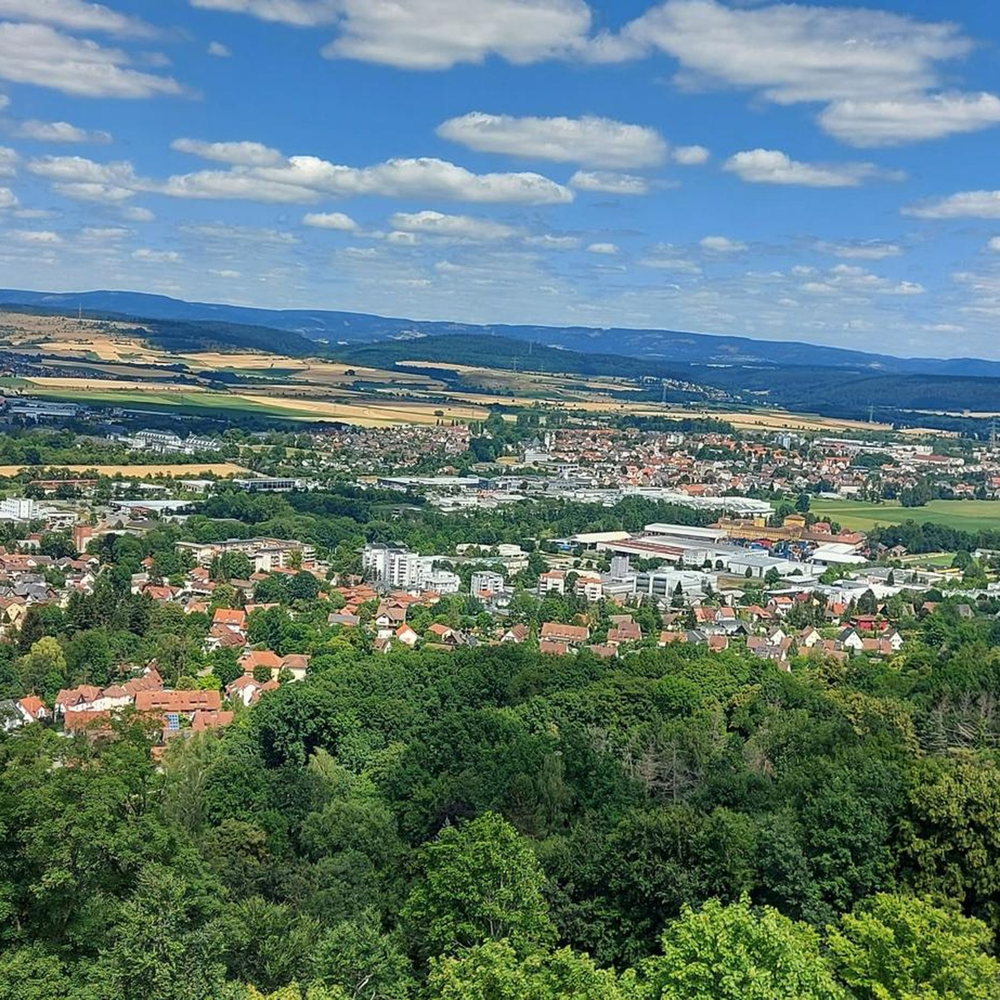
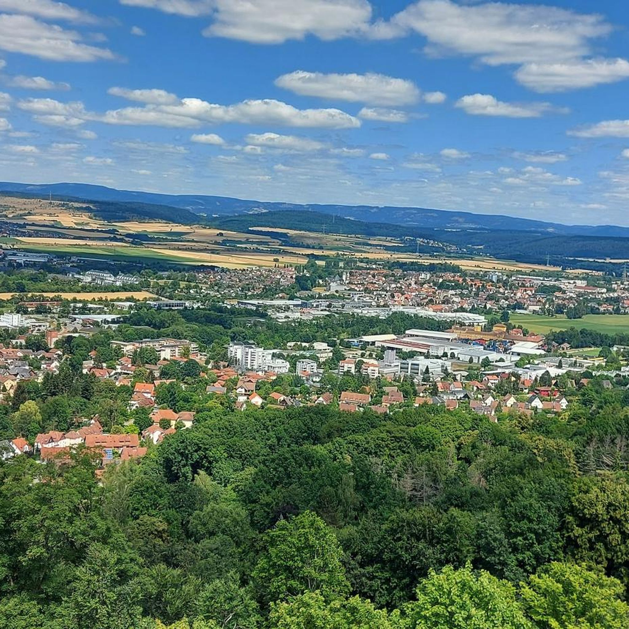
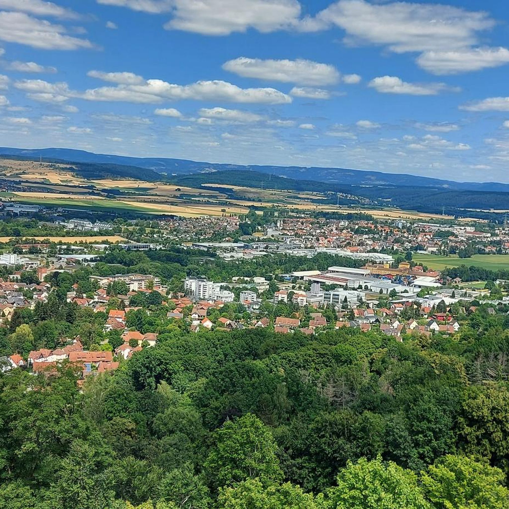
From the Staffelberg, you get one of the most beautiful views in the Gottesgarten am Obermain. From the high plateau, your gaze sweeps far over the Main valley and the varied landscape around Bad Staffelstein and Lichtenfels. With good visibility, numerous striking elevations and places in the region can be recognized. Particularly charming is the view over the rolling hills and forests of the Obermainland – a view that quickly makes you forget the climb. An ideal place for a break and to simply let the landscape sink in.
3
0

Since 1130, markets have been permitted in Staffelstein. The corresponding right was granted by King Lothar III to the Georgsbrüder, the capitulars of Bamberg Cathedral. At that time, Staffelstein belonged to the Prince-Bishopric of Bamberg. The market square was laid out after the great fire of 1684 as it presents itself today, dominated by the Franconian half-timbered masterpiece, the town hall.
7
0
The ensemble within the 14th and 15th century fortification ring developed from the earliest mention of the present settlement around 800. The town parish church of St. Kilian was founded centrally within it even before 1007. In 1130, the settlement received market rights, a good 250 years later full jurisdiction. From 1422, the town's fortifications were built. In 1473, the town burned down, including the parish church and the town hall. In the Thirty Years' War, in 1684, almost the entire place fell prey to the flames again. The symbol of the subsequent reconstruction is the town hall from 1686/87. Of particular importance is the cohesive appearance of the buildings, which is shaped by the reconstruction after the town fire of 1684. These typically include two-storey front houses, often with gables facing the street, featuring decorative half-timbering on the upper floor. In addition to wall remnants, the Bamberger Torturm gate tower, dating back to the 16th century in its core, has been preserved from the town's fortifications.
7
0

Magnificent viewpoint with an accurate panorama map. The view extends from the Kulch to the Ummersberg. Kloster Banz and the Staffelberg can be seen as the most famous points.
12
0

A small, well-kept village. For a hearty snack with home-brewed beer, head to the Metzgerbräu. Or to the "Grüner Baum" near the church (Thursdays to Sundays from 4 pm or Sunday morning drinks with Merkendorf beer).
0
0

A very nicely laid-out cycle path.
4
2

The ruins have a very special character due to their construction – you can still really feel the connection between nature and medieval architecture.
4
0

I can only recommend the few meters, they are extremely photogenic.
0
0
Frequently Asked Questions
How many gravel bike trails are available around Großheirath?
There are over 100 gravel bike trails in the Großheirath region, offering a wide range of options for different skill levels and preferences. The komoot community has explored more than 200 of these routes.
Are there any easy gravel bike trails suitable for beginners in Großheirath?
Yes, Großheirath offers several easier routes. While many trails are moderate to difficult, you can find options like the View from the Staffelberg summit – View of Staffelberg loop from Bad Staffelstein, which is a moderate 18.2 km ride, ideal for those looking for a less strenuous experience. Always check the route details for elevation and terrain to match your comfort level.
What are some challenging gravel bike routes in the Großheirath area?
For experienced gravel bikers seeking a challenge, routes like the Rothenberg Gate Tower – Rotenhan Castle Ruins loop from Großheirath stand out. This difficult 60.7 km trail features significant elevation changes and varied terrain, often taking over 4 hours to complete. Another demanding option is the Rothenberg Gate Tower – Seßlach City Wall loop from Untermerzbach, a difficult 37.6 km path with rolling hills.
Are there family-friendly gravel biking options near Großheirath?
While specific 'family-friendly' designations aren't always explicit, routes with moderate difficulty and shorter distances are generally more suitable. Consider the View from the Staffelberg summit – View of Staffelberg loop from Bad Staffelstein, a moderate 18.2 km loop, which could be a good option for families with some biking experience. Always assess the route's elevation and surface before heading out with children.
What is the best time of year for gravel biking in Großheirath?
The Großheirath region, with its rolling hills and woodlands, is generally enjoyable for gravel biking from spring through autumn. Spring offers lush greenery, while autumn provides beautiful foliage. Summer can be pleasant, but it's advisable to start early to avoid the midday heat. Winters can be challenging due to potential snow and ice, making many trails less accessible for gravel biking.
Are there any loop gravel bike trails around Großheirath?
Yes, many of the gravel bike trails in the Großheirath area are designed as loops, allowing you to start and finish at the same point. Notable examples include the challenging Rothenberg Gate Tower – Rotenhan Castle Ruins loop from Großheirath (60.7 km) and the moderate Seßlach City Wall – Rothenberg Gate Tower loop from Coburg (45.3 km).
What kind of scenic viewpoints can I expect on gravel bike routes in Großheirath?
The region offers several scenic viewpoints, often integrated into the routes. For instance, the View from the Staffelberg summit – View of Staffelberg loop from Bad Staffelstein explicitly highlights views from Staffelberg and its high plateau. Many trails also traverse open agricultural fields and ascend to higher ground, providing panoramic vistas of the surrounding landscape and river valleys.
What do other gravel bikers enjoy most about the trails in Großheirath?
The gravel biking routes in Großheirath are highly rated by the komoot community, with an average score of 4.7 stars from over 40 reviews. Reviewers often praise the diverse landscape, which includes rolling hills, dense woodlands, and open fields, as well as the mix of paved and unpaved paths. The presence of historical sites and varied terrain for different ability levels are also frequently highlighted.
Are there any long-distance gravel trails in the Großheirath region?
Yes, Großheirath offers several longer gravel routes for those looking for extended rides. The Rothenberg Gate Tower – Rotenhan Castle Ruins loop from Großheirath is a significant 60.7 km trail, providing a substantial distance for a full day's adventure. Other routes like the Seßlach City Wall – Rothenberg Gate Tower loop from Coburg (45.3 km) also offer considerable distances.
What natural attractions can be found along gravel bike trails near Großheirath?
The Großheirath area is rich in natural attractions. You might encounter impressive viewpoints like Staffelberg or On the high plateau at Staffelberg. The region also features interesting caves such as Querkeles Cave and the Thieves' Cellar Rock Labyrinth, offering unique sights off the bike.
What should I bring for a gravel biking trip in Großheirath?
Given the varied terrain and potential for longer routes, it's advisable to bring essentials such as a repair kit, plenty of water, snacks, and appropriate layers of clothing. A helmet is crucial, and a GPS device or a loaded komoot app is highly recommended for navigation, especially on trails that traverse woodlands or less-marked sections. Sunscreen and insect repellent can also be useful depending on the season.
Are the gravel trails in Großheirath suitable for dogs?
While specific trails are not designated 'dog-friendly,' many gravel paths in natural areas are generally suitable for well-behaved dogs on a leash. However, always be mindful of local regulations, agricultural areas, and wildlife. Ensure your dog is fit enough for the distance and terrain, and carry enough water for both of you. Some routes might pass through villages or near roads where dogs need to be kept under strict control.
Most popular routes around Großheirath
Most popular attractions around Großheirath

Get inspired with the komoot mobile app


Explore more
Browse the best Gravel rides in other regions.
