The best gravel rides around Halsbach
4.3
(34)
194
riders
16
rides
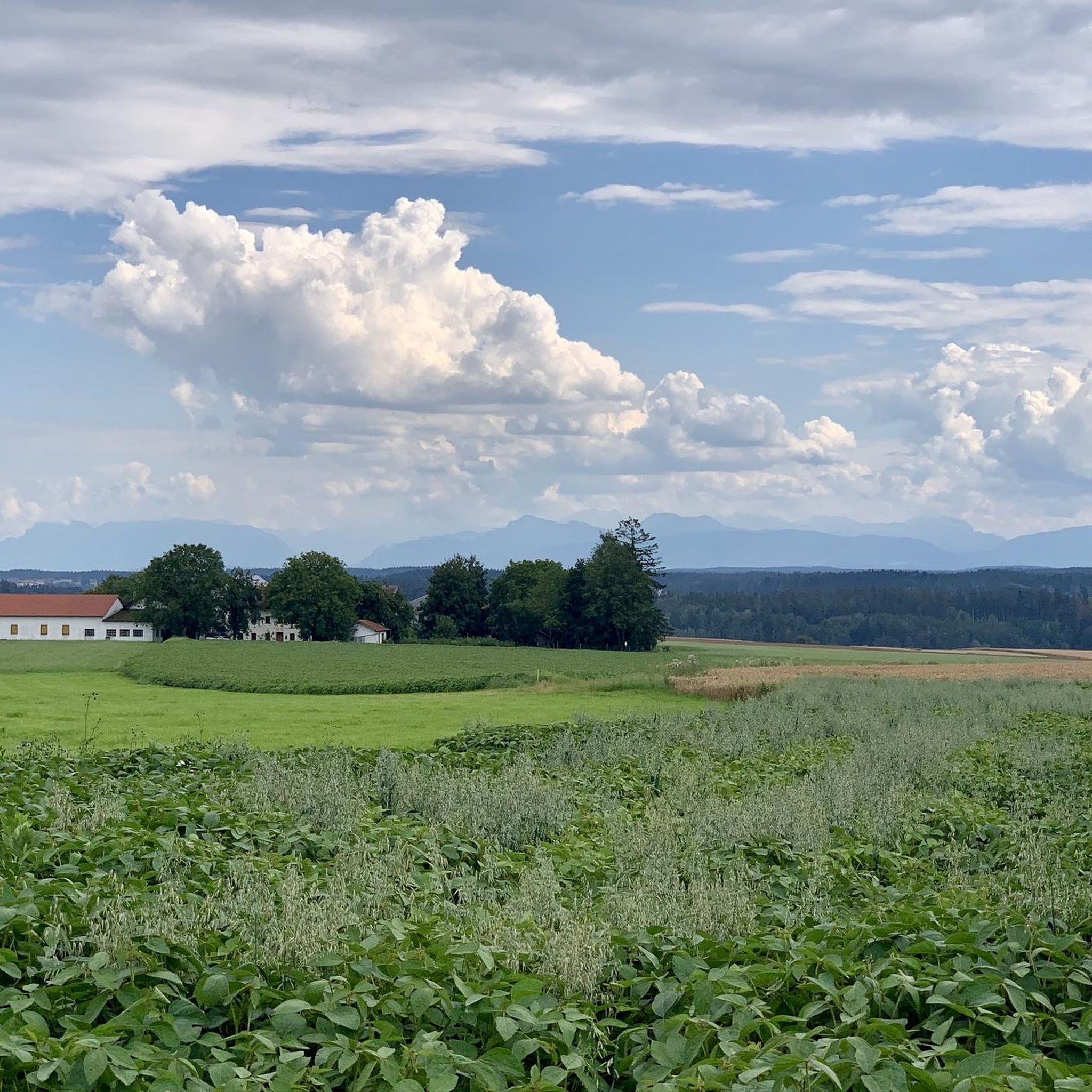
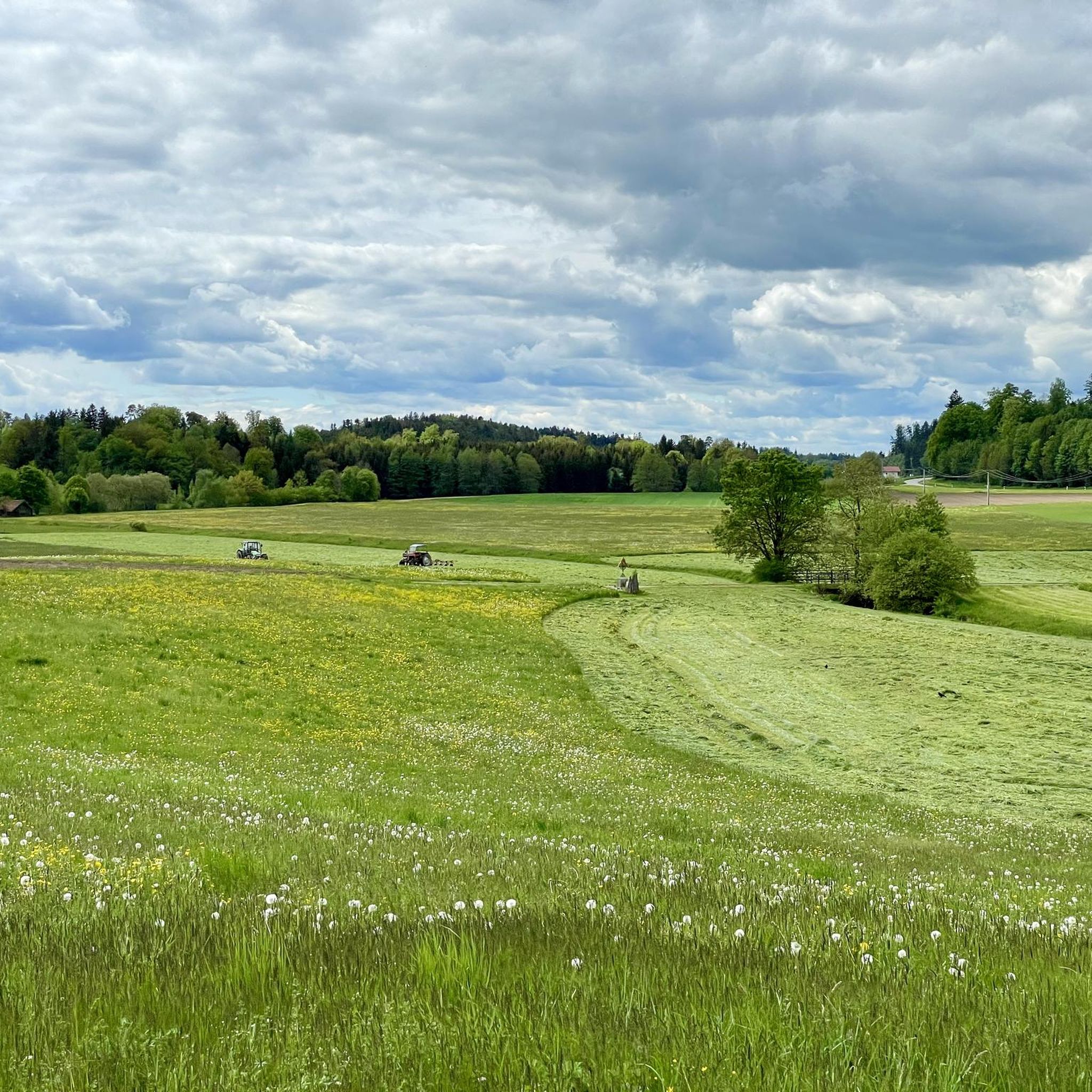
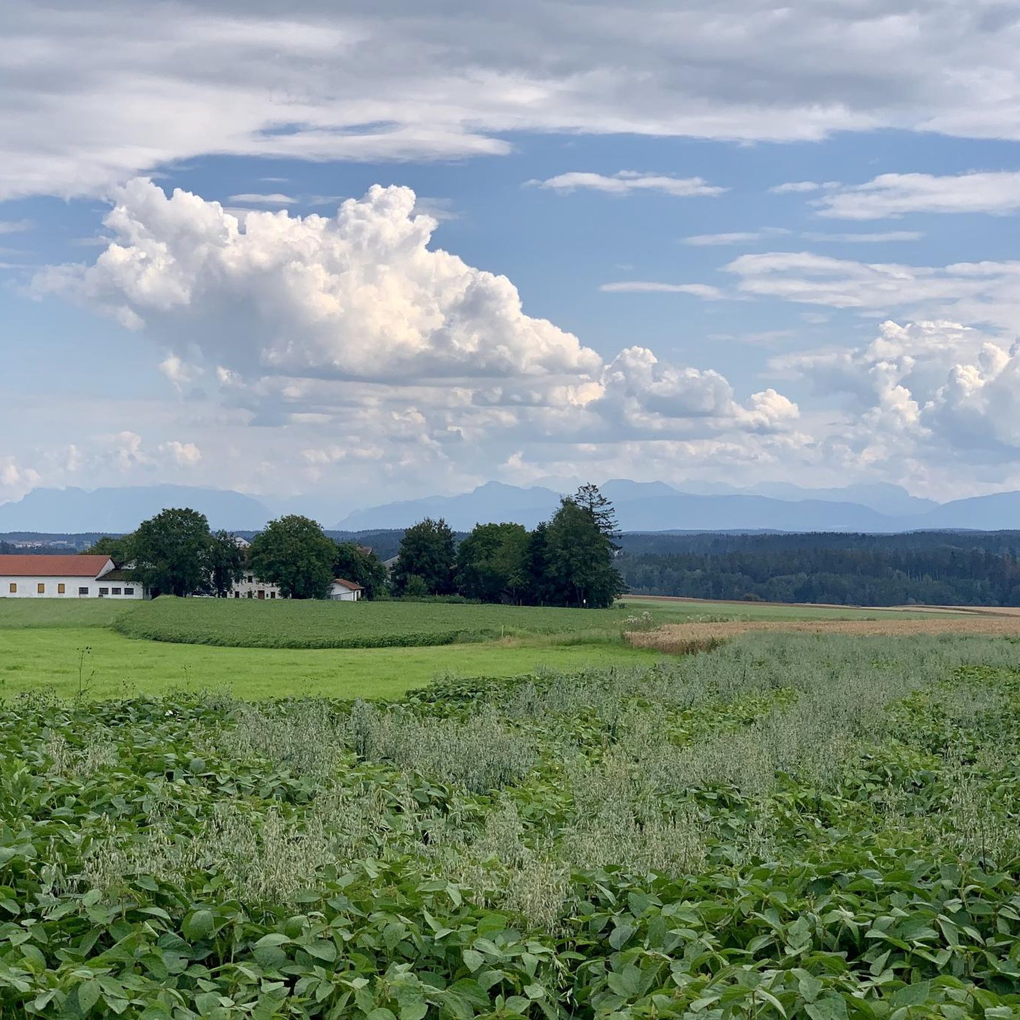
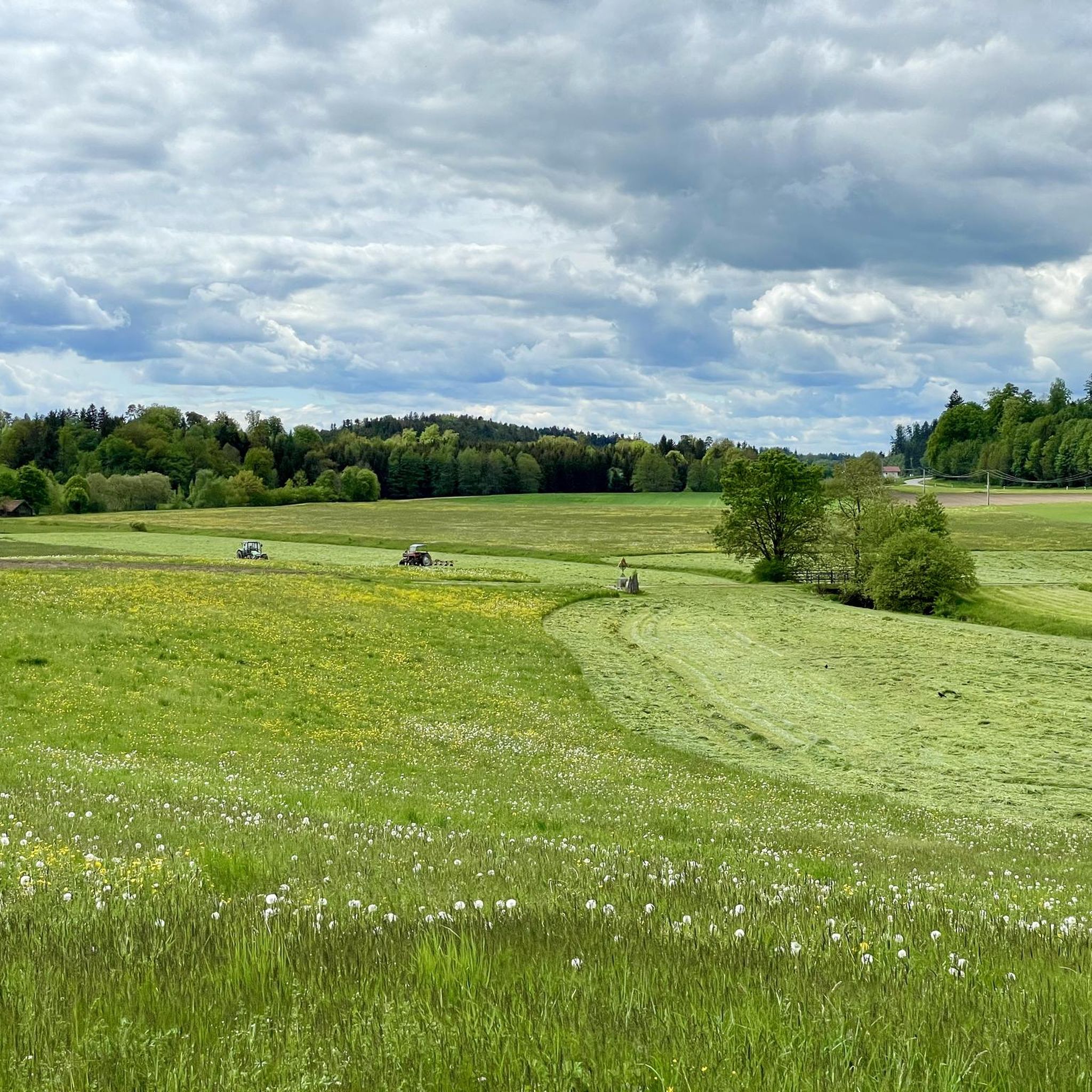
Gravel biking around Halsbach offers diverse landscapes characterized by wide-open meadows, tranquil forests, and quiet secondary roads. The region is situated between the Alz and Salzach rivers, providing varied terrain that includes gentle uphills and downhills. Riders can expect a mix of paved roads, gravel paths, and forest tracks, suitable for exploring the idyllic countryside. The topography includes rolling hills and river valleys, providing an engaging environment for gravel biking.
Best gravel bike trails around Halsbach
- The most popular gravel…
Last updated: July 2, 2026
4.0
(2)
13
riders
67.1km
03:46
540m
540m
Hard gravel ride. Very good fitness required. You may need to push your bike for some segments of this route.
4.6
(7)
31
riders
30.1km
01:46
240m
240m
Moderate gravel ride. Good fitness required. Mostly paved surfaces. Suitable for all skill levels.

Sign up for free
3.5
(2)
15
riders
32.4km
01:50
240m
240m
Moderate gravel ride. Good fitness required. Mostly paved surfaces. Suitable for all skill levels.
4.6
(5)
9
riders
83.0km
04:43
620m
620m
Hard gravel ride. Very good fitness required. Mostly paved surfaces. Suitable for all skill levels.
10
riders
31.5km
01:40
130m
130m
Easy gravel ride. Great for any fitness level. Mostly paved surfaces. Suitable for all skill levels.
Get access to more routes and recommendations from other explorers.
Sign up for free
Already have an account?
Our route recommendations are based on thousands of hikes, rides, and runs completed by other people on komoot.
Start today with a free account
Your next adventure awaits.
Login or Signup
Tips from the Community

The pilgrimage church of St. Coloman lies high above Lake Tachinger.
5
0

Whether by bike or on foot, always worth a trip! Sufficient bike parking available, even the possibility to charge e-bikes. Food very affordable, the monastery's own Radler is a dream. Possibly call briefly beforehand to reserve a spot if you plan a tour. I'll be back!
0
0

A beautiful view of the Waginger See as well.
1
0
The Salzach cycle path is nice to ride.
1
0
These border bridges impressed me greatly.
1
0

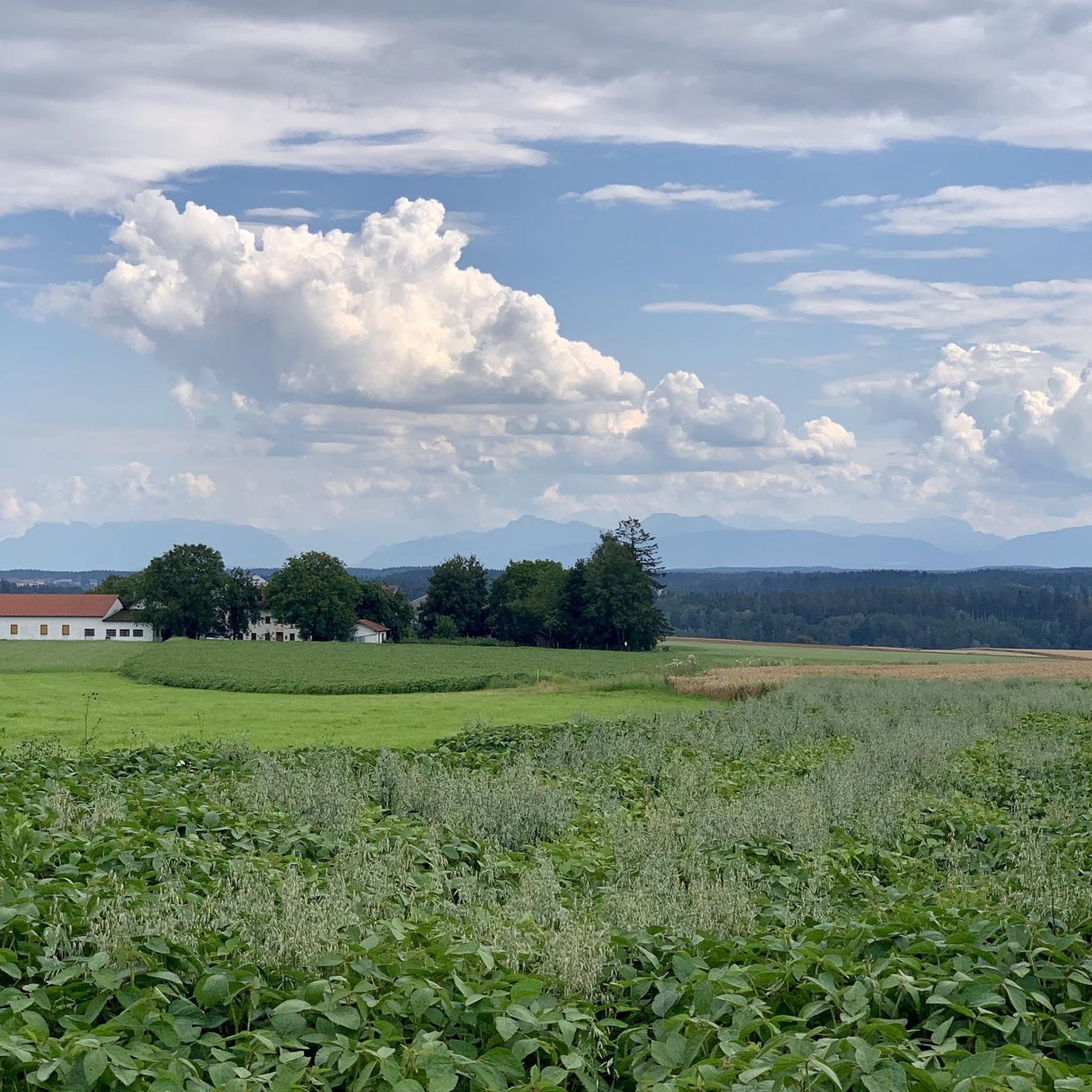
Around the Waginger See and Tachinger See, magnificent views always emerge,
0
0
Around the Waginger See and Tachinger See, there are always magnificent views of the Alps.
0
0

The history of the bridge in Altach is a fascinating example of infrastructure development that creates crucial connections between communities. For centuries, this bridge was the only link between Oberndorf and Laufen, and also the only crossing over the Salzach River between Salzburg and Tittmoning. The bridge has weathered many floods, which repeatedly destroyed it. Between 1901 and 1903, a new bridge was finally built to meet the needs of the time. In 2006, the construction of the Europasteg bridge marked another step in continuing this historic bridge tradition. The modern footbridge, designed with a length of 131.20 meters, runs slightly offset from the old bridge, offering an interesting perspective on the region's history. At low water, the remains of the old wooden bridge piers are even visible, testifying to the bridge's long construction history and humanity's resilience in the face of natural forces. This new footbridge stands not only as an architectural masterpiece but also as a symbol of the connection and unity between the two banks and the communities they serve.
3
0
Frequently Asked Questions
How many gravel bike trails are available around Halsbach?
Halsbach offers a wide selection of gravel biking routes, with over 40 trails available. These routes cater to various skill levels, including easy, moderate, and difficult options.
What kind of terrain can I expect on gravel bike trails in Halsbach?
The gravel bike trails in Halsbach feature diverse landscapes, including wide-open meadows, shady forest paths, and quiet secondary roads. You'll encounter a mix of paved sections, gravel paths, and forest tracks, often with gentle uphills and downhills, providing a varied riding experience.
Are there gravel routes suitable for beginners in Halsbach?
Yes, Halsbach offers 8 easy-rated gravel routes, perfect for beginners or those looking for a relaxed ride. One such route is the Riverside rest area on the Alz – Weir on the Alz in Altenmarkt loop from Wiesmühl (Alz), which leads through pleasant riverine scenery.
What are some of the natural features I can see while gravel biking in Halsbach?
The region is characterized by its serene natural beauty, situated between the Alz and Salzach rivers. You can expect to ride through expansive meadows, tranquil forest trails, and along picturesque river valleys. The View of Tachinger See – Salzach River Trail loop from Ach offers scenic views of the lake and river.
Are there any family-friendly gravel biking options in Halsbach?
While specific 'family-friendly' routes aren't explicitly categorized, the 8 easy-rated trails in Halsbach are generally suitable for families looking for less strenuous rides. These routes often feature quieter paths and gentler terrain, allowing for a more relaxed experience.
Can I bring my dog on the gravel biking trails in Halsbach?
Many outdoor trails in Bavaria are dog-friendly, especially those in natural settings like forests and meadows. However, it's always recommended to keep your dog on a leash, especially near wildlife or livestock, and to check local regulations for specific areas or nature reserves you plan to visit.
What is the best time of year for gravel biking in Halsbach?
The best time for gravel biking in Halsbach is typically from spring through autumn (April to October), when the weather is milder and the trails are dry. During these seasons, you can fully enjoy the wide-open meadows and forest paths. Winter conditions can make some trails challenging due to snow or ice.
Are there any circular gravel bike routes in Halsbach?
Yes, many of the gravel bike routes in Halsbach are designed as loops. For example, the popular Unterhatermark on the Salzach – Tittmoning Castle loop from St. Radegund is a circular trail offering varied landscapes.
What do other gravel bikers enjoy most about the trails in Halsbach?
The gravel biking routes around Halsbach are highly rated by the komoot community, with an average score of 4.5 stars from over 30 reviews. Riders often praise the diverse landscapes, the mix of quiet roads and natural paths, and the tranquil atmosphere away from heavy traffic.
What interesting landmarks or attractions can I find near the gravel bike trails?
While gravel biking, you can explore several notable attractions. Consider visiting Kapellplatz, Altötting, a significant pilgrimage site, or the impressive Burghausen Castle. The Northern Inn Floodplains – Kapellplatz, Altötting loop from Gendorf route can take you close to some of these cultural highlights.
Are there any lakes or water features to see along the routes?
Yes, the region is known for its riverine scenery, with routes often running along the Alz and Salzach rivers. You can also find highlights like the Wöhrsee Lido beneath Burghausen Castle or the Blue-Green Lagoon, offering pleasant spots to relax by the water.
Are there any cafes or restaurants near the gravel biking routes in Halsbach?
Halsbach and the surrounding idyllic villages are dotted with local establishments. While specific cafes on every route are not listed, you'll find opportunities to stop for refreshments in the towns and villages you pass through, such as Tittmoning or Altötting, which are often part of or near the cycling paths.
Is public transport available to reach the gravel biking areas in Halsbach?
Public transport options are available in the broader Upper Bavaria region. For specific routes, you would need to check local bus or train schedules to see if they connect to your desired starting points in or around Halsbach. It's advisable to verify if bicycles are permitted on the public transport services you plan to use.
Where can I park my car when starting a gravel bike tour in Halsbach?
Parking is generally available in the towns and villages around Halsbach, which serve as common starting points for tours. For example, routes often begin from places like St. Radegund or Furth, where you can typically find designated parking areas. Always look for local signage regarding parking regulations.
Most popular attractions around Halsbach

Get inspired with the komoot mobile app


Explore more
Browse the best Gravel rides in other regions.
