The best gravel rides around Weißenhorn
4.6
(49)
422
riders
86
rides
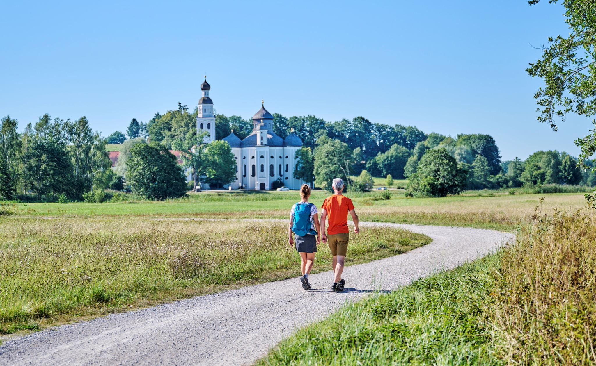
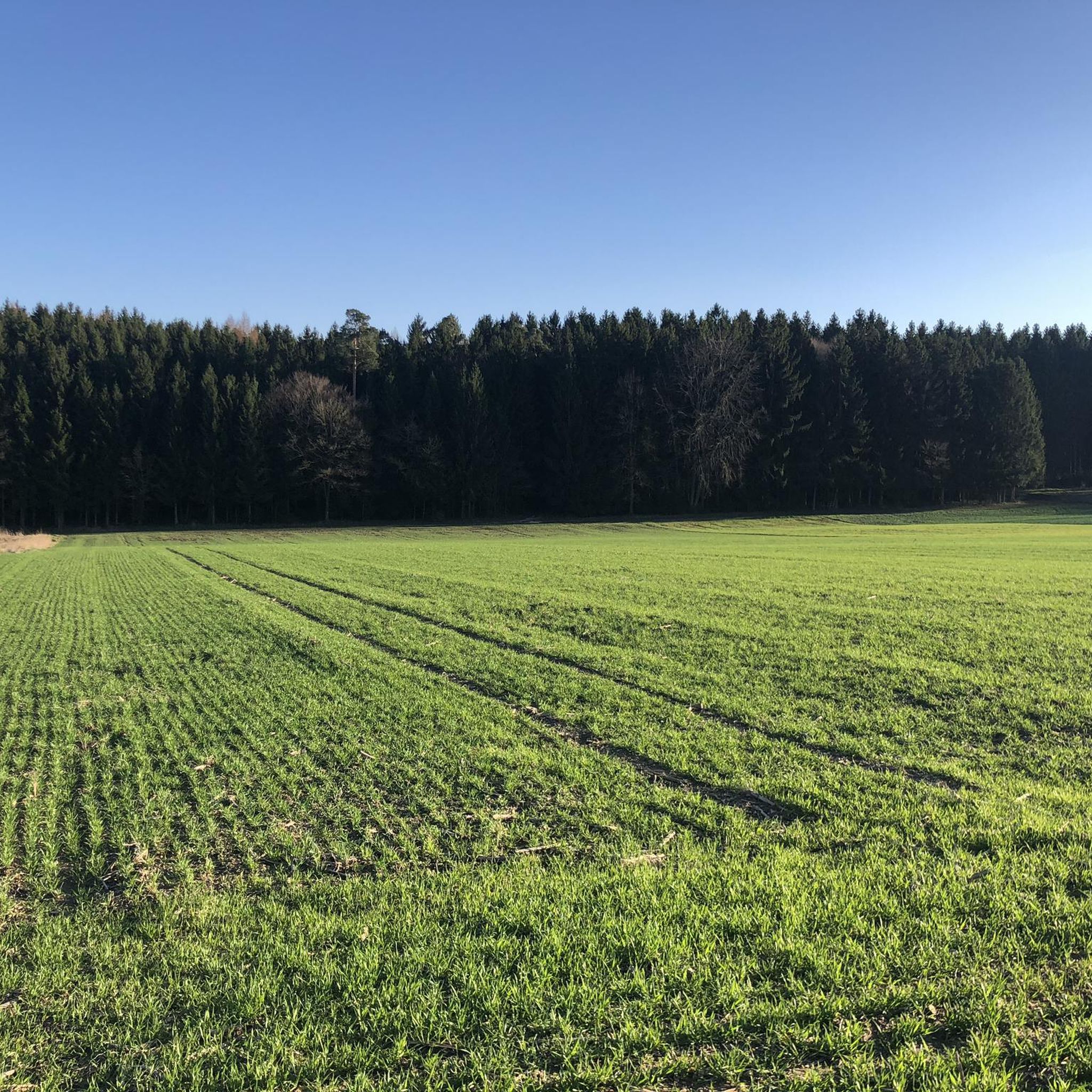
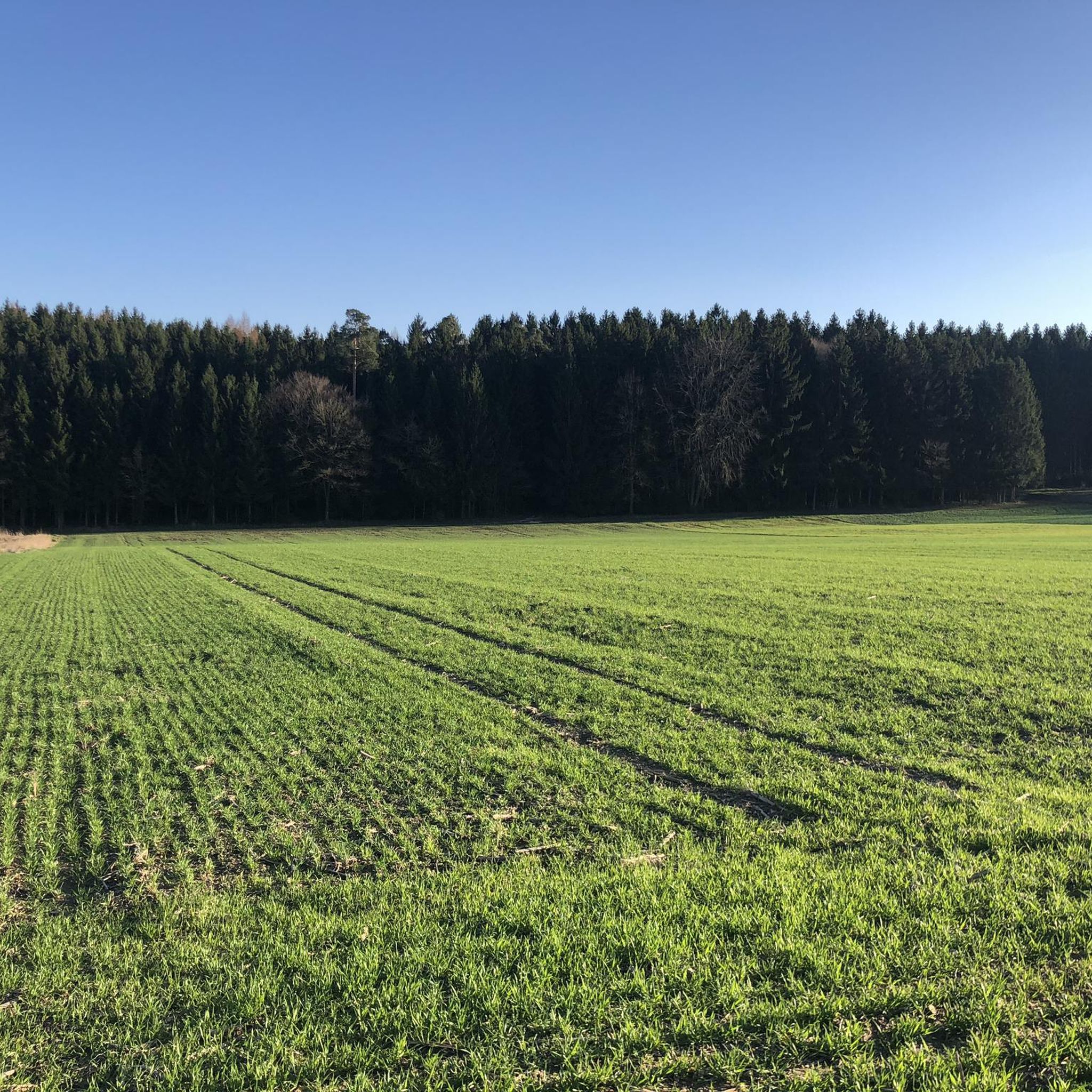
Gravel biking around Weißenhorn offers diverse landscapes characterized by rolling hills, dense forests, and river valleys. Situated on the edge of the Augsburg-Westliche Wälder Nature Park and within the Donau-Iller Plateau, the region features a mix of gravel paths, forest roads, and quiet rural lanes. The Iller River and the scenic Rothtal (Roth Valley) provide picturesque backdrops for routes. This varied terrain makes Weißenhorn a suitable destination for gravel biking.
Best gravel bike trails around Weißenhorn
- The most popular gravel bike trail is Iller Cycle Path – Rushing Iller River loop from Weißenhorn, a 36.2 miles (58.2 km) trail that takes about 2 hours 54 minutes to complete. This route follows the Iller River, offering a moderate gravel biking experience.
- Another top favourite among local gravel bikers is Rushing Iller River – Iller Cycle Path loop from Weißenhorn, a difficult 62.4 miles (100.3 km) path. This longer variant provides a challenging ride through the region's varied terrain.
- Local gravel bikers also love the Rushing Iller River – Iller Cycle Path loop from Weißenhorn, a 25.3 miles (40.8 km) trail leading through riverine landscapes and forested areas, often completed in about 2 hours 15 minutes.
- Gravel biking around Weißenhorn is defined by rolling hills, dense forests, and river valleys. The network offers options for different ability levels, from moderate loops to more challenging long-distance routes.
- The routes in Weißenhorn are highly rated by the komoot community with an average score of 4.7 stars from over 100 reviews. More than 600 gravel bikers have used komoot to explore Weißenhorn's varied terrain.
Last updated: May 21, 2026
5.0
(2)
17
riders
58.2km
02:54
170m
170m
Moderate gravel ride. Good fitness required. Mostly paved surfaces. Suitable for all skill levels.
5.0
(1)
8
riders
100km
05:27
390m
390m
Hard gravel ride. Very good fitness required. You may need to push your bike for some segments of this route.

Sign up for free
5.0
(3)
9
riders
40.8km
02:14
120m
130m
Moderate gravel ride. Good fitness required. Mostly paved surfaces. Suitable for all skill levels.
19
riders
39.8km
02:06
100m
100m
Moderate gravel ride. Good fitness required. Mostly paved surfaces. Suitable for all skill levels.
12
riders
53.1km
02:50
160m
160m
Moderate gravel ride. Good fitness required. Mostly paved surfaces. Suitable for all skill levels.
Get access to more routes and recommendations from other explorers.
Sign up for free
Already have an account?
Our route recommendations are based on thousands of hikes, rides, and runs completed by other people on komoot.
Start today with a free account
Your next adventure awaits.
Login or Signup


Tips from the Community

Well-maintained, safe crossing over the canal.
1
0

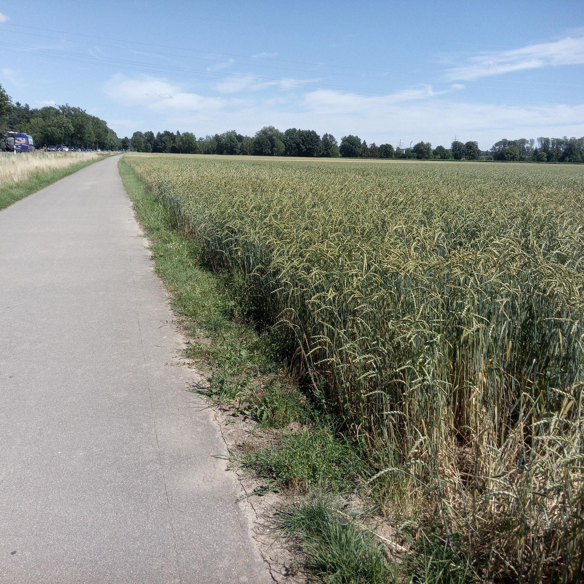
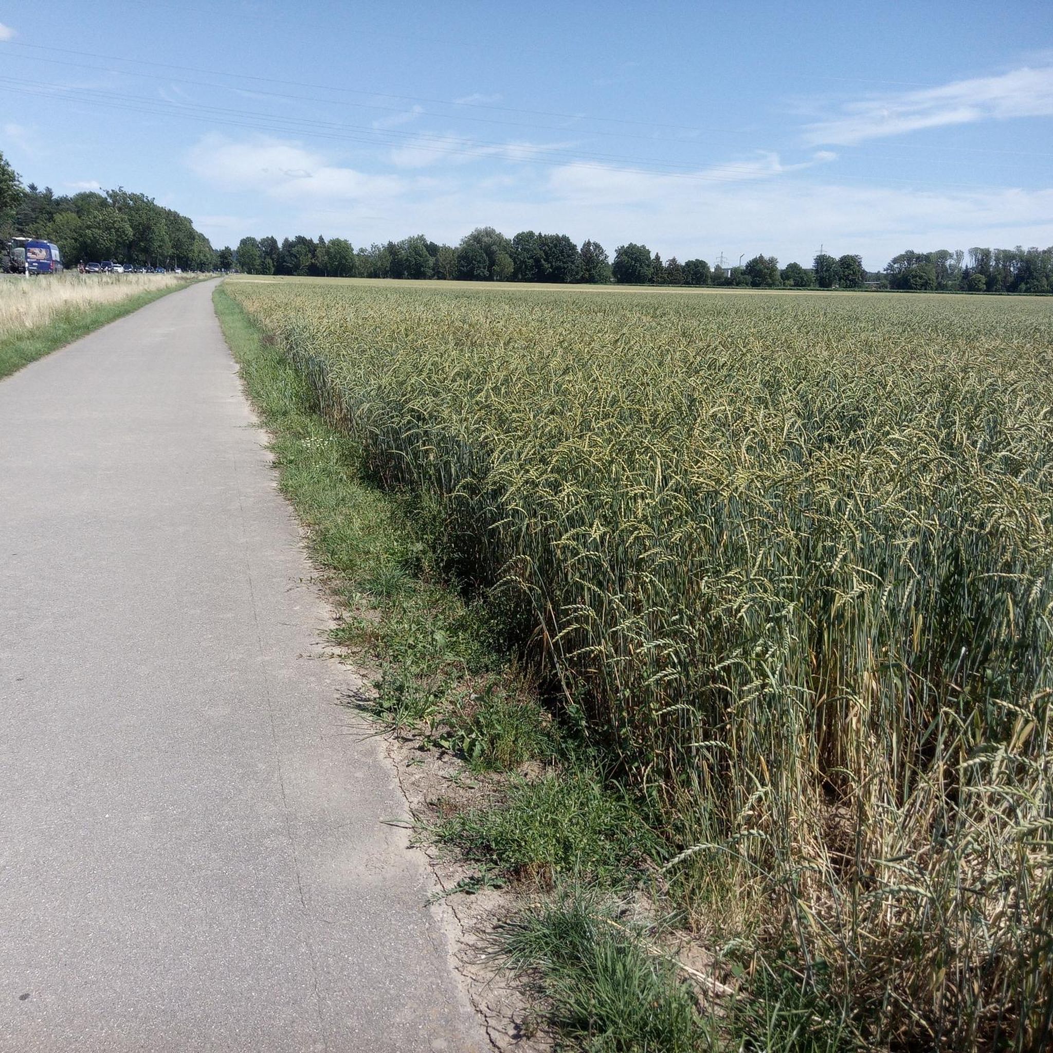
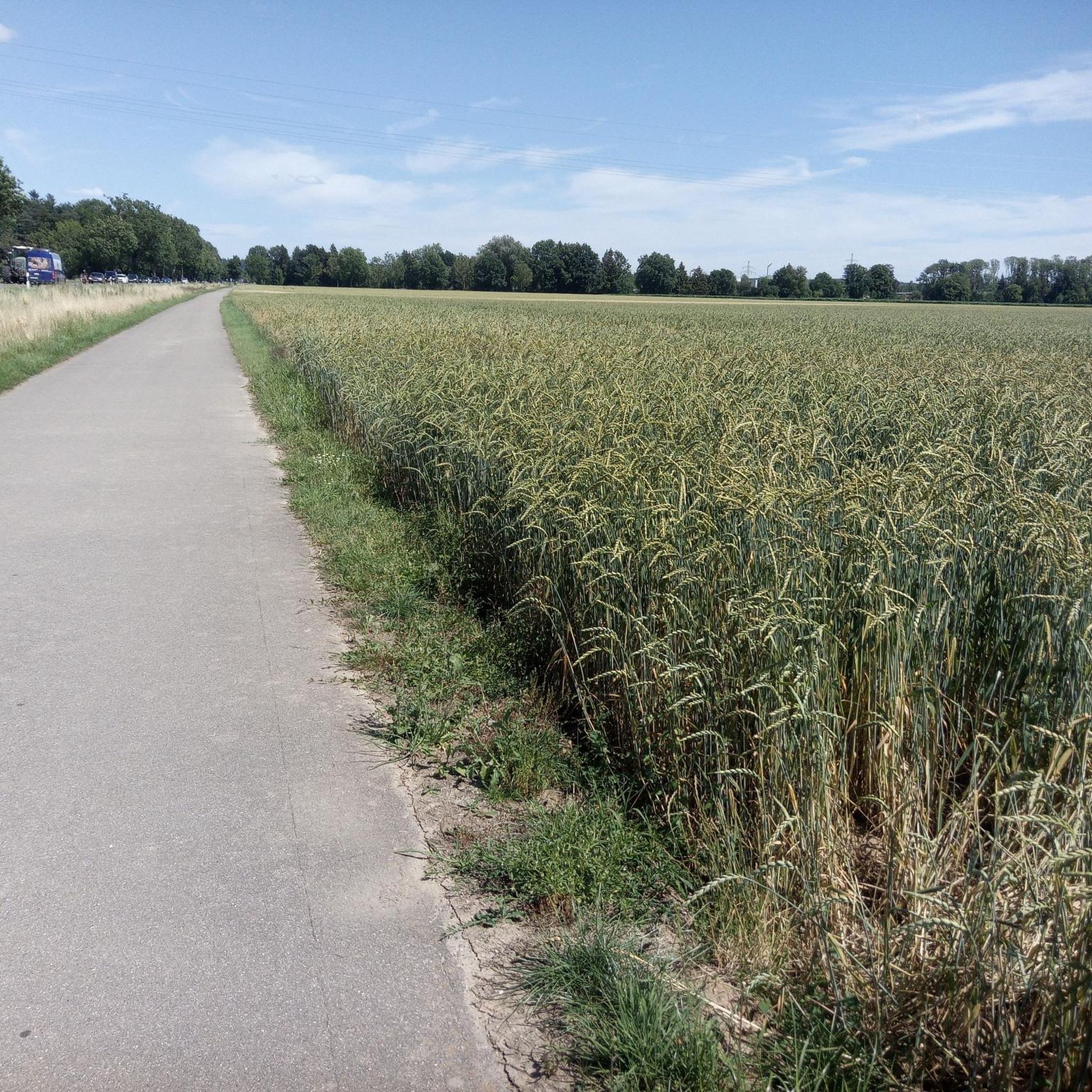
The hiking and cycling path runs in a straight line alongside the Iller River. The path is gravelled and grassy in the middle. Alongside the cycle path, you can see the floodplain forest. Between the Iller River and the cycle path, there is a grassy strip about 3 meters wide. Wildlife can probably be spotted here frequently, as there is a hunting lodge in between. At least the fish were also taken into consideration at the weir. A fish ladder is located along the edge.
0
0

The bike path runs along the bottom of the dam, but there are several places to access the dam. There are plenty of anglers on the dam.
2
0

Easily rideable without any special equipment. A wonderful bike path to enjoy.
1
0

Ulm Old Town who has never seen it I would do it again👍🏽
0
0

Excursion to Illertissen to the Vöhlin Castle for the bee exhibition
1
0

It is nice to ride along the Danube with a MTB, trekking or gravel bike. It is more than unpleasant with a racing bike, as it is far too narrow and there are bumps
0
0

The Iller is always worth a detour. The entire Iller cycle path is highly recommended.
2
0
Frequently Asked Questions
How many gravel bike trails are available around Weißenhorn?
There are over 130 gravel bike trails around Weißenhorn, offering a wide variety of options for different skill levels. You'll find everything from easy, scenic loops to more challenging, longer routes.
Are there any easy gravel bike trails suitable for beginners or families in Weißenhorn?
Yes, Weißenhorn offers several easier gravel routes. About 28 of the available trails are rated as easy, perfect for beginners or a relaxed family outing. These routes often follow gentler terrain through the scenic Rothtal and along the Iller River.
What kind of landscapes can I expect on gravel bike routes near Weißenhorn?
Gravel biking around Weißenhorn takes you through diverse landscapes, including rolling hills, dense forests like the Fuggerwald and Osterholz, and picturesque river valleys along the Iller. The region is situated on the edge of the Augsburg-Westliche Wälder Nature Park, providing a beautiful natural backdrop.
Are there any circular gravel bike routes available?
Yes, many gravel bike routes around Weißenhorn are designed as loops. For example, the Iller Cycle Path – Rushing Iller River loop from Weißenhorn is a popular moderate circular trail covering 58.2 km.
What are some interesting places to explore or landmarks to see along the gravel trails?
Beyond the natural beauty, you can explore historical sites and natural features. Consider visiting the Roggenburg pond for a scenic break, or look out for the historic castles like Fugger and Neuffen Castles in Weißenhorn's charming old town. The region also features various huts and rest areas like the Thirst-Quencher Hut.
What do other gravel bikers enjoy most about the trails in Weißenhorn?
The gravel trails in Weißenhorn are highly rated by the komoot community, with an average score of 4.7 stars. Reviewers often praise the varied terrain, the peaceful forest paths, and the beautiful riverine landscapes along the Iller, making for a rewarding cycling experience.
Are there any challenging gravel routes for experienced riders?
Absolutely. For experienced riders seeking a challenge, there are 23 difficult routes available. A notable option is the Rushing Iller River – Iller Cycle Path loop from Weißenhorn, a demanding 100.3 km path that offers a significant test of endurance and skill.
Can I find routes that pass by lakes or ponds for a break?
Yes, several routes incorporate water features. The region is dotted with idyllic lakes and ponds. You might encounter the Roggenburg pond, Salzweiher, or the Nordholz Mill Pond, which offer pleasant spots for a rest or picnic.
What is the typical duration for a gravel bike tour in Weißenhorn?
Tour durations vary significantly based on distance and difficulty. Moderate routes, like the 53.1 km Iller Cycle Path – Iller Cycle Route loop from Weißenhorn, typically take around 2 hours 51 minutes. Longer, more difficult routes can extend to over 7 hours.
Are there any routes that specifically follow the Iller River?
Many routes in the area utilize the scenic Iller River. The Iller Bridge – Rushing Iller River loop from Weißenhorn-Eschach is a great example, offering 45.0 km of moderate gravel biking along the river's banks.
What is the best time of year for gravel biking in Weißenhorn?
The region is generally suitable for outdoor activities throughout the year. Spring and autumn offer pleasant temperatures and beautiful scenery. While winter sports are possible nearby, gravel biking is best enjoyed in the warmer months, though some routes might be accessible in milder winter conditions.
Are there any routes that go through forested areas?
Yes, Weißenhorn is surrounded by dense forests, and many gravel routes weave through them. Areas like the Fuggerwald and Osterholz forest are frequently part of the trails, providing shaded paths and a tranquil riding experience.
Most popular routes around Weißenhorn
Most popular attractions around Weißenhorn

Get inspired with the komoot mobile app


Explore more
Browse the best Gravel rides in other regions.
