The best gravel rides around Lohkirchen
4.2
(47)
200
riders
36
rides
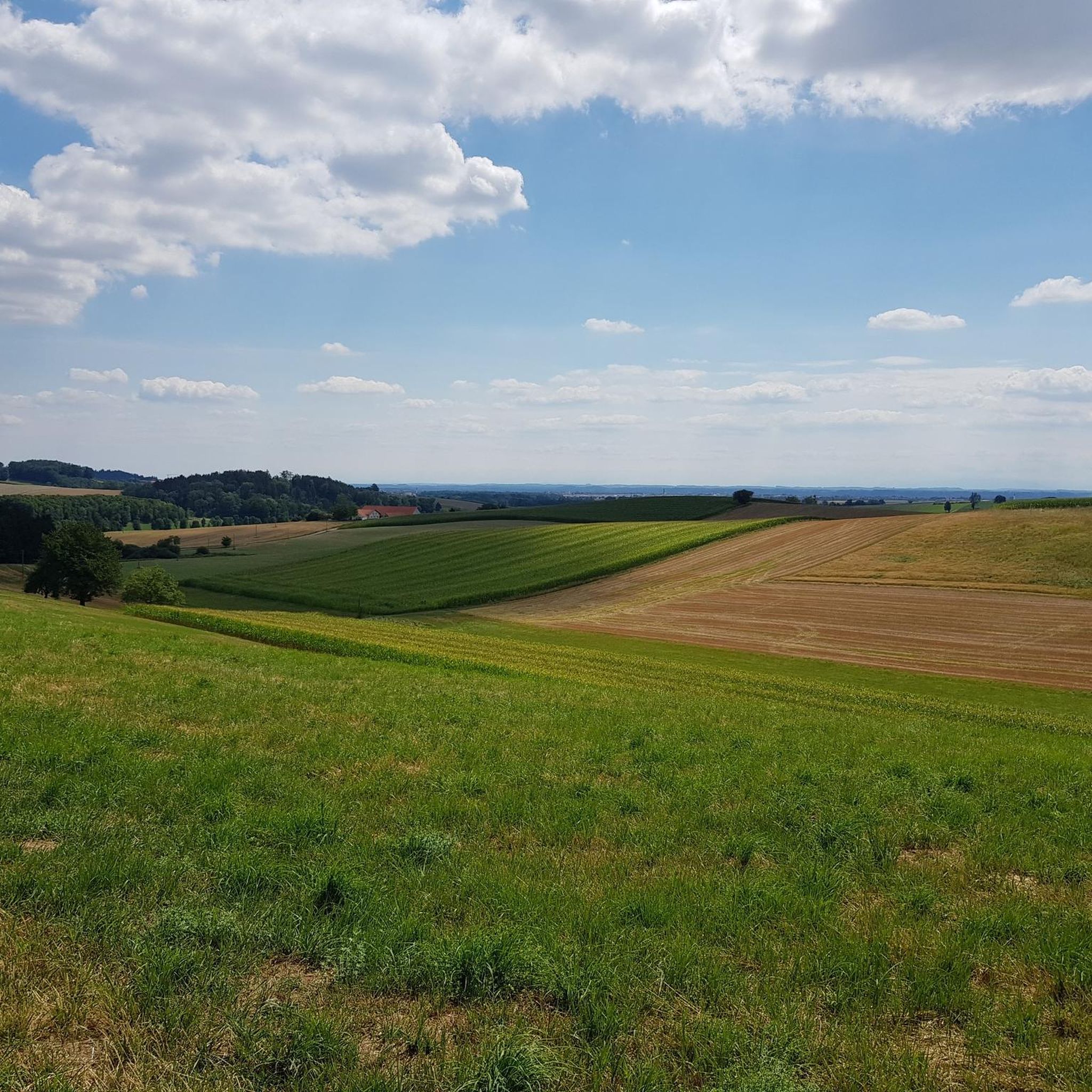
Gravel biking around Lohkirchen offers a network of routes primarily traversing the Inn floodplains and surrounding areas. The terrain is characterized by relatively low elevation changes, with routes often following river courses and open landscapes. These gravel bike trails Lohkirchen difficulty levels range from easy to difficult, providing options for various skill sets.
Best gravel bike trails around Lohkirchen
- The most popular gravel bike trail is Northern Inn Floodplains – Perach Bathing Lake loop from Mühldorf (Oberbay), a 30.0…
Last updated: August 12, 2026
5.0
(4)
37
riders
Moderate gravel ride. Good fitness required. Mostly paved surfaces. Suitable for all skill levels.
4.8
(13)
42
riders
39.5km
02:02
130m
130m
Moderate gravel ride. Good fitness required. Mostly paved surfaces. Suitable for all skill levels.

Sign up for free
3.5
(2)
19
riders
61.0km
03:10
200m
200m
Moderate gravel ride. Good fitness required. Mostly paved surfaces. Suitable for all skill levels.
4.0
(2)
23
riders
Moderate gravel ride. Good fitness required. Mostly paved surfaces. Suitable for all skill levels.
3.0
(1)
11
riders
Hard gravel ride. Very good fitness required. Mostly paved surfaces. Suitable for all skill levels.
Get access to more routes and recommendations from other explorers.
Sign up for free
Already have an account?
Our route recommendations are based on thousands of hikes, rides, and runs completed by other people on komoot.
Start today with a free account
Your next adventure awaits.
Login or Signup
Tips from the Community

The town square is almost 500 meters long and features colorful facades in the Inn-Salzach architectural style. It's definitely worth taking a break here.
3
0

The town hall was built in the 18th century by combining three originally separate residential plots. The western façade was redesigned as a unified structure after the merger. The core of the Gothic atrium dates from the 14th and 15th centuries, while the façade dates back to the 18th century. The building was inhabited by the noble Mautner family before being acquired by the town in 1439. The façade features the Burghausen town coat of arms, with the Bavarian heraldic symbols of diamonds and lions above it.
13
0

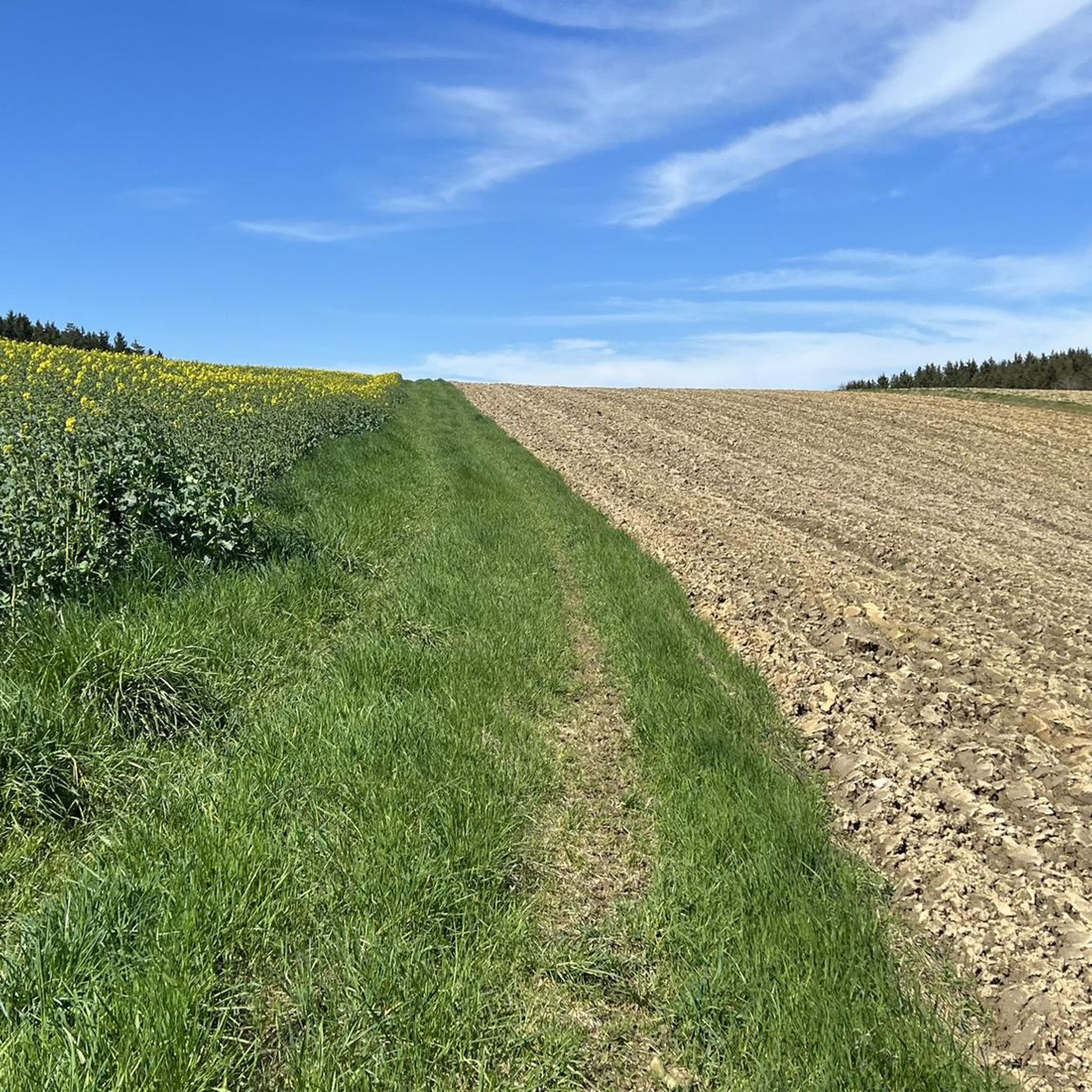
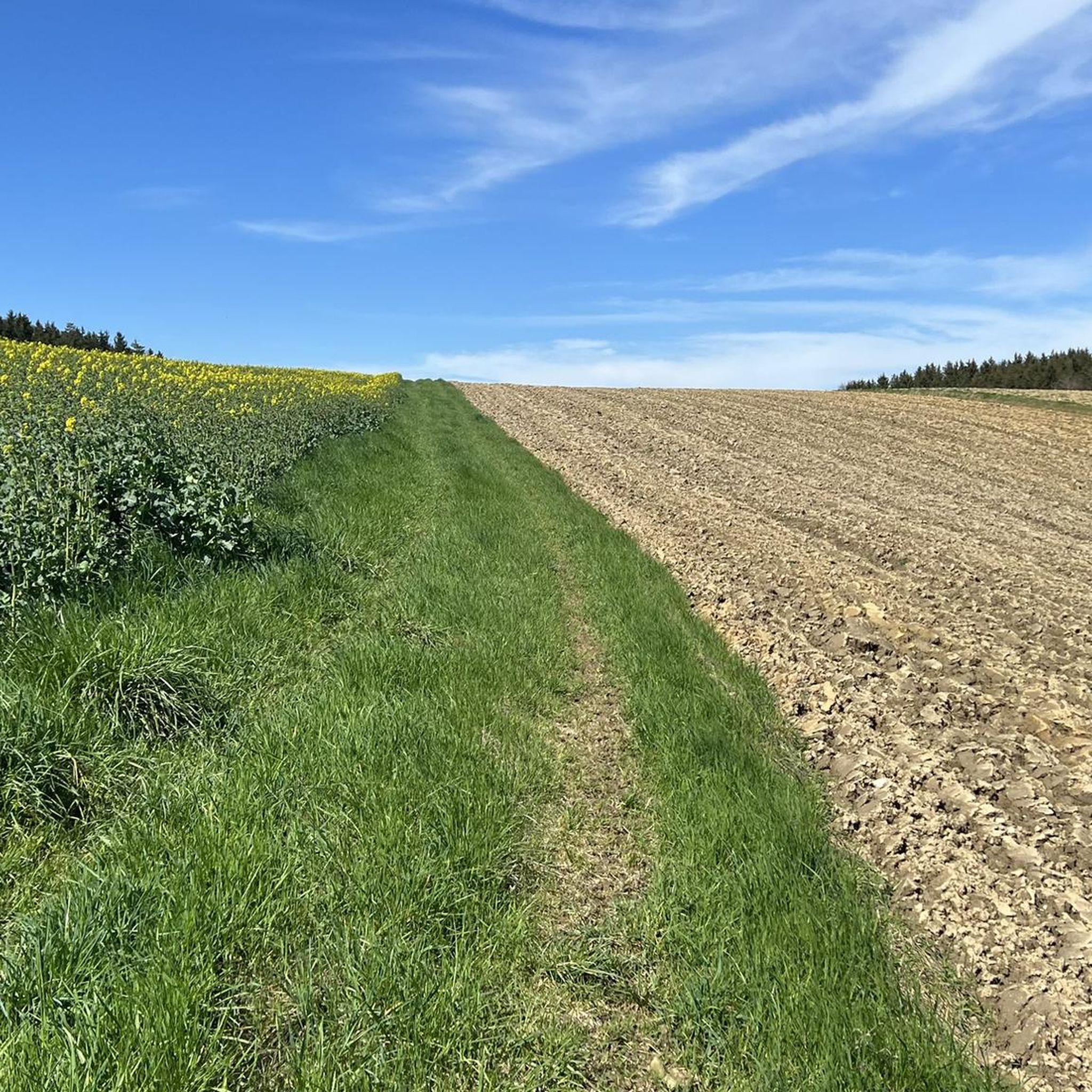
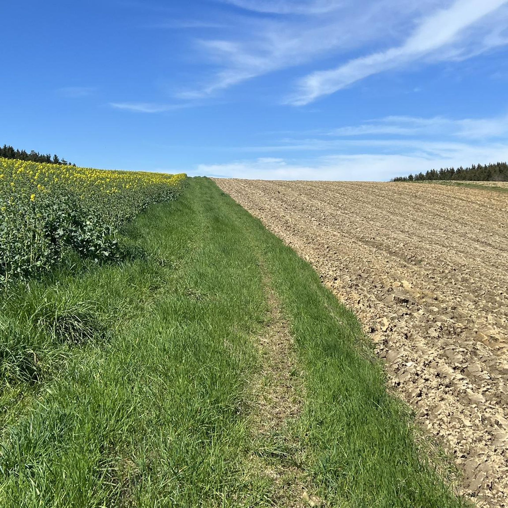
Beautiful in any season 🌿🌾 but especially in spring when in bloom
2
0

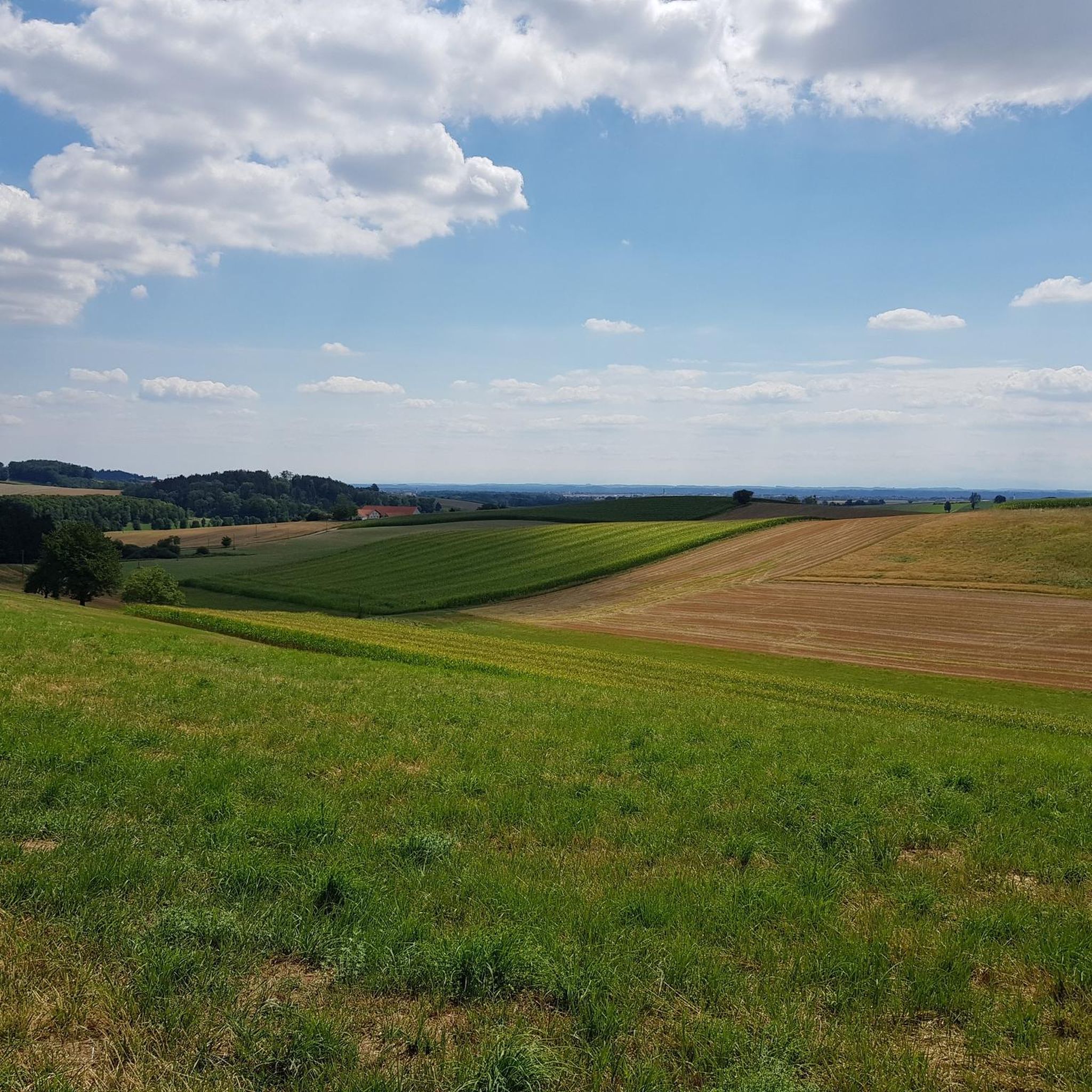
Mediocre road surface, but for sure easy enough for touring bikes and up ;)
1
0

Romantic little town with a beautiful town square to take a break!
0
0

Where there are always great concerts
1
0

Frequently Asked Questions
What are the general difficulty levels for gravel biking around Lohkirchen?
Gravel biking around Lohkirchen offers a good mix of routes for various skill levels. You'll find 12 easy routes, 37 moderate routes, and 9 more challenging options, primarily traversing the Inn floodplains and surrounding areas with relatively low elevation changes.
Are there any family-friendly gravel bike routes in Lohkirchen?
Yes, Lohkirchen has 12 easy gravel bike routes that are well-suited for families or beginners. These trails typically feature minimal elevation gain and follow river courses, providing a pleasant experience for all ages.
What kind of terrain can I expect on gravel bike trails near Lohkirchen?
The terrain around Lohkirchen is characterized by river floodplains, open fields, and forested sections. Routes often follow the Inn River, offering varied surfaces suitable for gravel bikes, with generally low elevation changes.
What is the best time of year for gravel biking in Lohkirchen?
The spring and autumn months generally offer the most pleasant conditions for gravel biking in Lohkirchen, with mild temperatures and beautiful scenery. Summer can be enjoyable, but be prepared for warmer weather. Winter riding is possible, but some paths might be affected by snow or ice, especially in shaded areas.
Are there any circular gravel bike routes available in Lohkirchen?
Many of the gravel bike routes around Lohkirchen are designed as loops, allowing you to start and end at the same point. For example, the View of the Innspitze – Northern Inn Floodplains loop from Mühldorf (Oberbay) is a popular circular option.
What can I see along the gravel bike trails in Lohkirchen?
The routes often pass by interesting natural features and historical sites. You might encounter viewpoints like the View of the Heistinger Prallhang and Inn River Bend, or historical landmarks such as Teising Moated Castle. The Inn River itself offers picturesque rapids, like the Rapids on the Inn River.
Are there any longer gravel bike routes for experienced riders?
For experienced riders seeking a longer challenge, the Burghausen Town Square – Northern Inn Floodplains loop from Mühldorf (Oberbay) offers a difficult 63.5-mile (102.3 km) ride with significant elevation gain, exploring a wider area of the Inn floodplains.
How long do gravel bike tours typically take in Lohkirchen?
Tour durations vary significantly based on distance and your pace. For instance, a moderate 24.5-mile (39.5 km) route like the Northern Inn Floodplains – Isen Rapids loop from Mühldorf (Oberbay) typically takes around 2 hours. Longer routes, such as the 37.9-mile (61.0 km) Inn River near Mühldorf – Kapellplatz, Altötting loop from Ampfing, can take over 3 hours.
What do other gravel bikers say about the routes in Lohkirchen?
The gravel biking routes in Lohkirchen are highly rated by the komoot community, with an average score of 4.3 stars from over 40 reviews. Many riders appreciate the varied terrain along the Inn River and the options available for different ability levels.
Are there any cafes or places to stop for refreshments along the gravel bike routes?
While specific cafes are not always directly on every trail, many routes pass through or near small towns and villages where you can find opportunities for refreshments. The region is known for its welcoming Bavarian hospitality, so look out for local eateries or beer gardens.
How accessible are the gravel bike trailheads by public transport in Lohkirchen?
Many gravel bike routes in the Lohkirchen area start from towns like Mühldorf (Oberbay) or Ampfing, which have train stations, making them accessible by public transport. It's advisable to check local train schedules and bike transport policies when planning your trip.
Where can I find parking for gravel biking in Lohkirchen?
Parking is generally available in the towns and villages where many of the routes begin, such as Mühldorf (Oberbay) or Ampfing. Specific parking information is often detailed on individual tour pages on komoot, helping you plan your starting point.
Most popular routes around Lohkirchen
Most popular attractions around Lohkirchen

Get inspired with the komoot mobile app


Explore more
Browse the best Gravel rides in other regions.
