The best gravel rides around Neckarwestheim
4.7
(92)
610
riders
70
rides
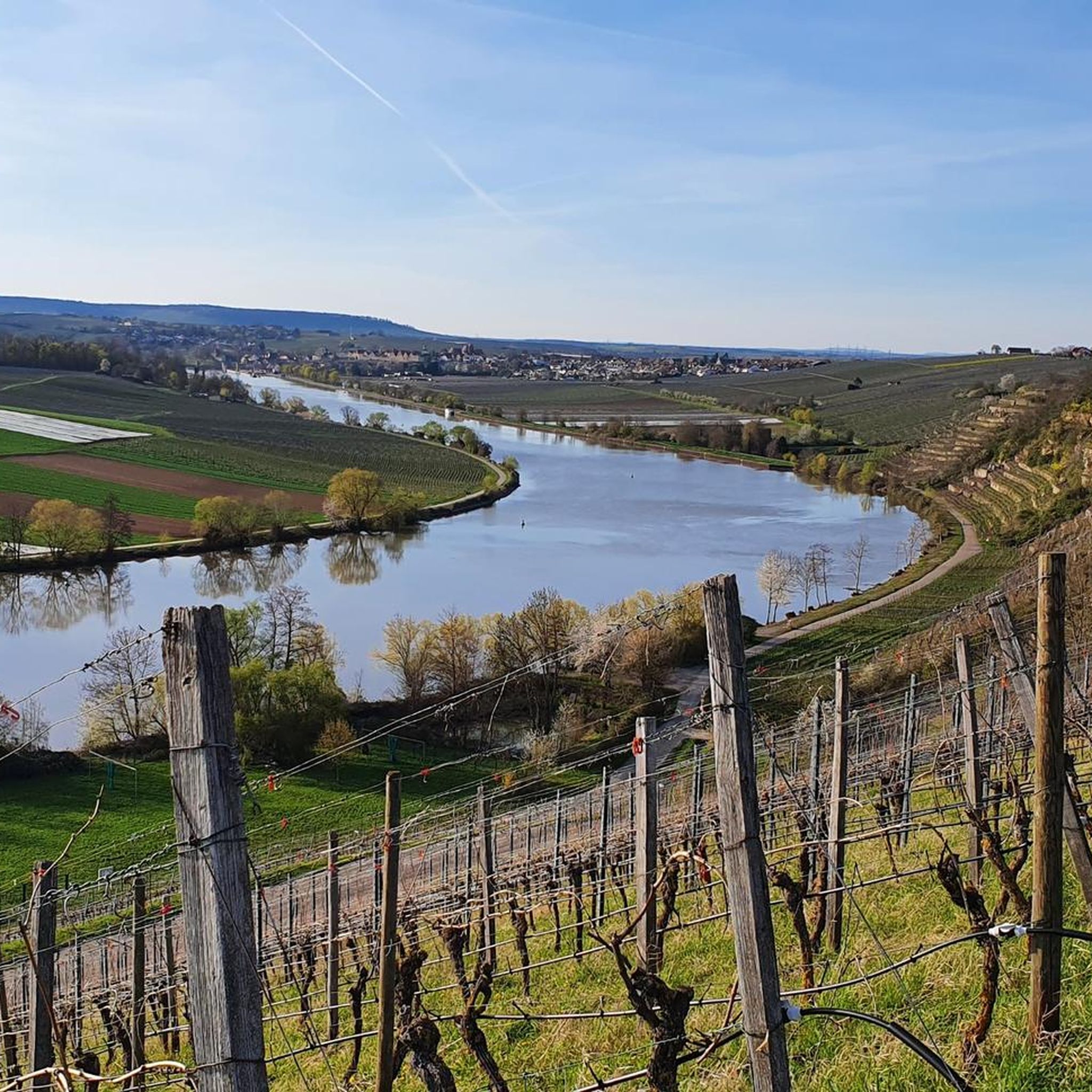
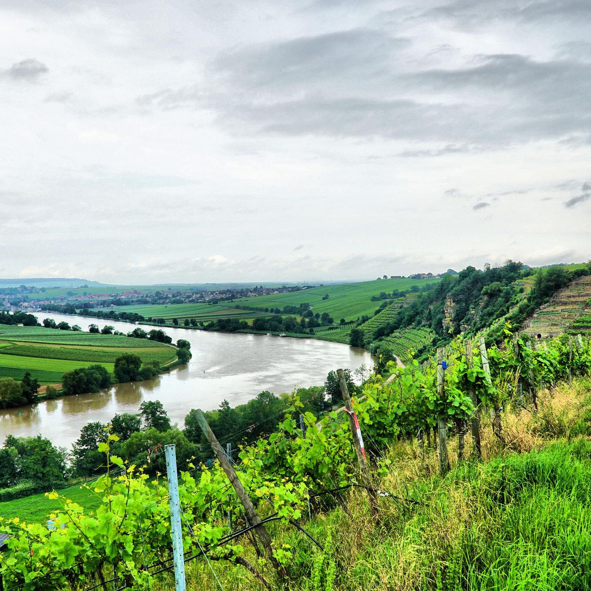
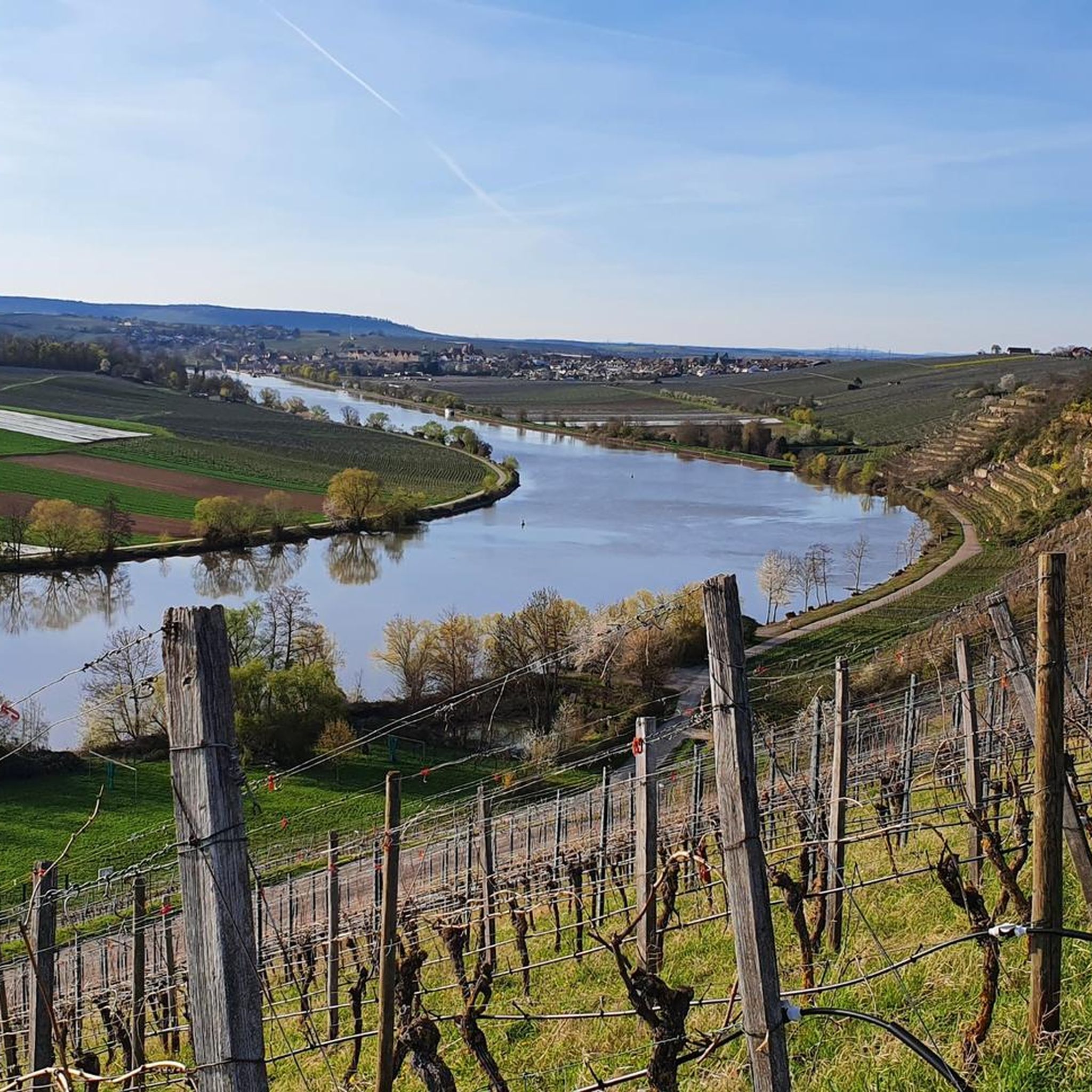
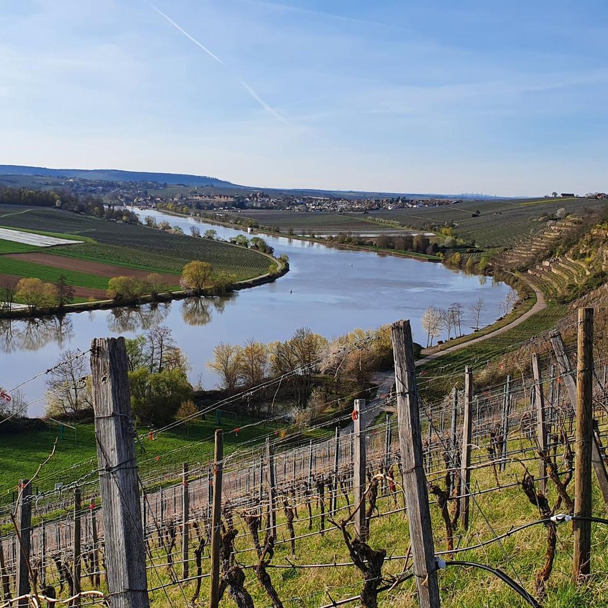
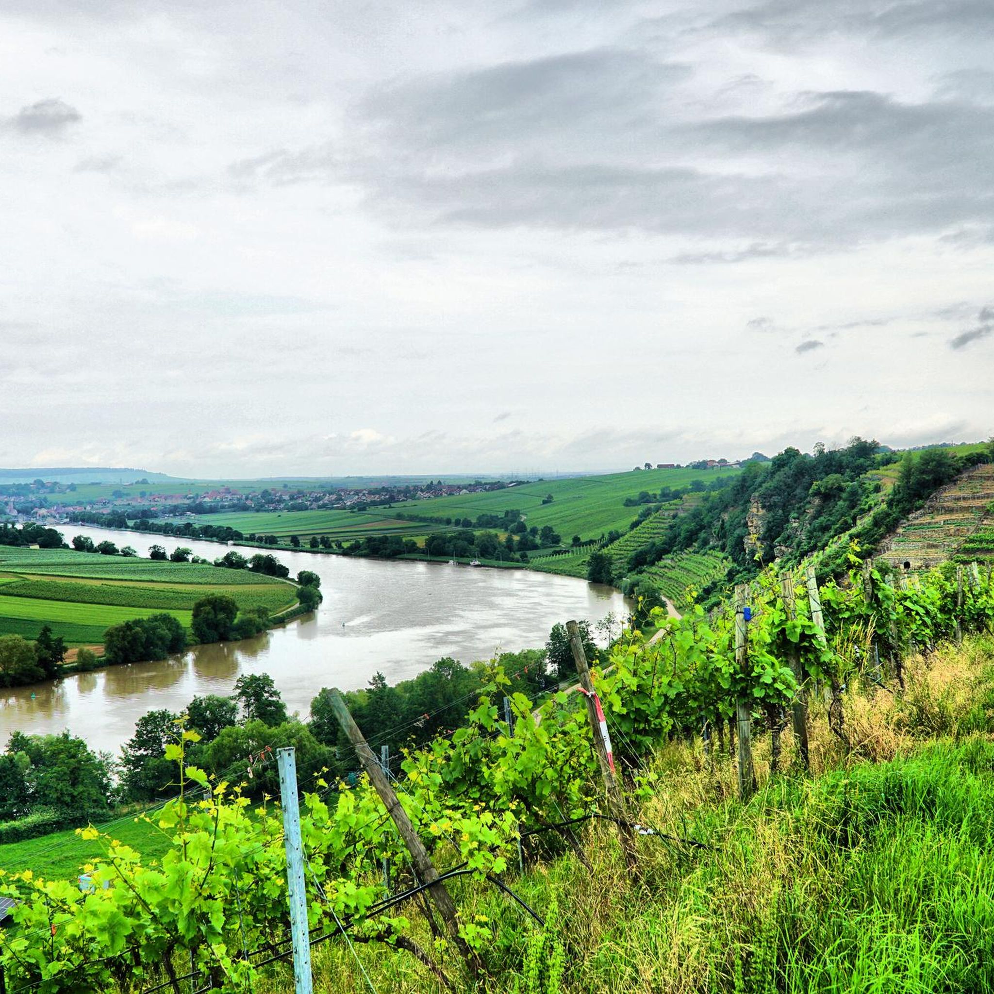
Gravel biking around Neckarwestheim offers diverse terrain across river valleys, rolling vineyards, and forested hills. The region is characterized by the meandering Neckar River, providing continuous connections, and the surrounding Zabergäu, known for its viticulture and gentle hills. Further afield, the Stromberg-Heuchelberg Nature Park presents varied landscapes with natural forest paths and extensive gravel sections. This topography, often referred to as the "land of 1000 hills," ensures engaging rides with varied elevation changes.
Best gravel bike trails around Neckarwestheim
- The…
Last updated: October 1, 2026
4.7
(10)
68
riders
Hard gravel ride. Very good fitness required. Mostly paved surfaces. Suitable for all skill levels.
5.0
(1)
10
riders
86.3km
05:23
1,110m
1,110m
Hard gravel ride. Very good fitness required. Mostly paved surfaces. Suitable for all skill levels.

5.0
(8)
45
riders
28.1km
01:23
150m
150m
Moderate gravel ride. Good fitness required. Mostly paved surfaces. Suitable for all skill levels.
5.0
(2)
7
riders
36.6km
02:21
500m
500m
Hard gravel ride. Very good fitness required. You may need to push your bike for some segments of this route.
8
riders
21.2km
01:10
180m
180m
Moderate gravel ride. Good fitness required. Mostly paved surfaces. Suitable for all skill levels.
Get access to more routes and recommendations from other explorers.
Already have an account?
Our route recommendations are based on thousands of hikes, rides, and runs completed by other people on komoot.
Start today with a free account
Your next adventure awaits.
Tips from the Community

On around 15 hectares, it offers a successful mix of spacious green areas, flower gardens, recreational facilities, and quiet retreats.
4
0

From the Schlossbergturm, you have a panoramic view over large parts of Northern Baden and Northern Wuerttemberg. Depending on the weather and visibility, you can recognize, among other things: To the west: the Rhine plain and, in very clear conditions, the Vosges mountains in France. To the southwest: the Northern Black Forest. To the south: the Stromberg, whose highest elevation is the Baiselsberg. To the east: the hilly landscape of the Kraichgau and towards the Heckengäu. To the north: the Odenwald forest, but only with exceptionally good long-distance visibility. On particularly clear days, the visibility extends up to 70–100 km. Therefore, the tower is a popular viewpoint for photographers and hikers. Tip: The best long-distance visibility is often in the morning after a cold front or on dry autumn and winter days when the air is particularly clear.
1
0

The Neckar Cycle Path leads from the Neckar's source in the Schwenninger Moos near Villingen-Schwenningen to Mannheim, where the Neckar flows into the Rhine.
0
0
The Wertwiesenpark extends along the Neckar between the city center and the Sontheim district.
1
0

The Seasons Fountain by Ursula Stock from the year 1991
0
0
beautiful route next to the Schozach, bordered by trees and bushes.
0
0

Whether castle or fortress, magnificently located with a great view.
1
0
The Neckar Valley Trail runs below rocks here, a very beautiful landscape.
0
0
Frequently Asked Questions
What kind of terrain can I expect on gravel bike trails around Neckarwestheim?
Gravel biking around Neckarwestheim offers a diverse mix of terrain. You'll find routes traversing river valleys, rolling vineyards, and forested hills. The region is known for its 'land of 1000 hills' topography, meaning you can expect varied elevation changes, from gentle valley rides along the Neckar River to more challenging climbs in areas like the Stromberg-Heuchelberg Nature Park.
Are there gravel bike routes suitable for beginners or those looking for an easier ride?
Yes, Neckarwestheim offers routes suitable for various skill levels. While many trails feature elevation changes, you can find easier options, particularly along the Neckar River Valley. For example, the Schozach Valley Cycle Path – Tauchsteinsee loop from Ilsfeld is a moderate route with less elevation gain, offering scenic riding through the Schozach Valley.
What are some popular viewpoints or landmarks I can see while gravel biking in the area?
The region is rich in scenic viewpoints and historical landmarks. You can enjoy panoramic views of the Neckar from the Hessigheimer Felsengärten or from the Wunnenstein Tower. Historic sites like Besigheim Old Town and various castles, such as those seen on the Beilstein Castle – View of Burg Wildeck loop from Talheim, are also prominent features along many routes.
Are there any long-distance gravel routes available near Neckarwestheim?
Yes, there are several longer routes for those seeking a more extensive ride. The View of Lichtenberg Castle – View of Hohenbeilstein Castle loop from P+M Parkplatz - BAB AS 13 Mundelsheim is a good example, covering over 46 kilometers with significant elevation, offering a rewarding challenge.
Can I find circular gravel bike routes in Neckarwestheim?
Many of the gravel bike routes in the Neckarwestheim area are designed as loops, allowing you to start and finish at the same point. For instance, the popular Vineyards in Neckarwestheim – Neckar Cycle Path loop from Mühle is a circular route that takes you through local vineyards and along the Neckar Cycle Path.
What do other gravel bikers say about the trails in Neckarwestheim?
The gravel biking routes around Neckarwestheim are highly regarded by the komoot community, with an average rating of 4.6 stars from over 210 reviews. Riders frequently praise the diverse landscapes, the mix of challenging climbs and scenic valley paths, and the well-maintained gravel sections that make for an engaging experience.
Is Neckarwestheim a good destination for family-friendly gravel biking?
The Neckar River Valley offers flatter, more relaxed sections that can be suitable for families. While some routes have significant climbs, you can find paths that are less strenuous, particularly those that stick closer to the river or through the gentler vineyard areas of the Zabergäu region. Always check the route's difficulty and elevation profile to ensure it matches your family's capabilities.
Are there options for parking or public transport access to the gravel bike trails?
While specific parking details vary by trailhead, many routes start from towns or villages with public parking facilities. For example, the route View of Lichtenberg Castle – View of Hohenbeilstein Castle loop from P+M Parkplatz - BAB AS 13 Mundelsheim explicitly mentions a parking area. The Neckar Valley is also well-connected by regional public transport, which can often accommodate bikes, allowing for flexible starting points.
What is the best time of year to go gravel biking in Neckarwestheim?
The region is enjoyable for gravel biking through much of the year. Spring and autumn offer pleasant temperatures and beautiful scenery, with vineyards changing colors. Summer can be warm but is ideal for longer days. Winter riding is possible, but conditions may vary, with some paths potentially being muddy or icy, especially in forested or higher elevation areas.
Are there any gravel bike routes that include stops at cafes or restaurants?
Many routes pass through or near charming villages and towns in the Neckar Valley and Zabergäu region, offering opportunities for cafe stops or meals. While specific routes aren't explicitly designed around cafes, planning your ride to pass through places like Besigheim or other local communities will provide options for refreshments.
How many gravel bike trails are available in the Neckarwestheim area?
There are nearly 200 gravel bike trails available around Neckarwestheim, catering to a wide range of abilities. This includes a good mix of easy, moderate, and difficult routes, ensuring there's something for every gravel biker.
Most popular routes around Neckarwestheim
Most popular attractions around Neckarwestheim

Get inspired with the komoot mobile app


Explore more
Browse the best Gravel rides in other regions.
