The best gravel rides around Eutingen im Gäu
4.7
(46)
171
riders
50
rides
Gravel biking around Eutingen im Gäu offers routes through varied terrain, characterized by river valleys, rolling countryside, and forested sections. The region features a mix of paved and unpaved paths suitable for gravel bikes. Elevations are generally moderate, with some routes including more significant climbs. The landscape provides a blend of open fields and natural waterways, such as the Neckar River.
Best gravel bike trails around Eutingen im Gäu
- The most popular gravel bike trail is Neckar River Trail –…
Last updated: August 19, 2026
4.7
(7)
29
riders
Hard gravel ride. Very good fitness required. You may need to push your bike for some segments of this route.
4.7
(18)
22
riders
45.1km
02:37
540m
540m
Hard gravel ride. Very good fitness required. Mostly paved surfaces. Suitable for all skill levels.

Sign up for free
4.5
(2)
13
riders
45.1km
02:37
470m
470m
Hard gravel ride. Very good fitness required. Mostly paved surfaces. Suitable for all skill levels.
4.8
(5)
14
riders
30.5km
01:55
400m
400m
Moderate gravel ride. Good fitness required. Mostly paved surfaces. Suitable for all skill levels.
4.5
(2)
8
riders
Hard gravel ride. Very good fitness required. Mostly paved surfaces. Suitable for all skill levels.
Get access to more routes and recommendations from other explorers.
Sign up for free
Already have an account?
Our route recommendations are based on thousands of hikes, rides, and runs completed by other people on komoot.
Start today with a free account
Your next adventure awaits.
Login or Signup
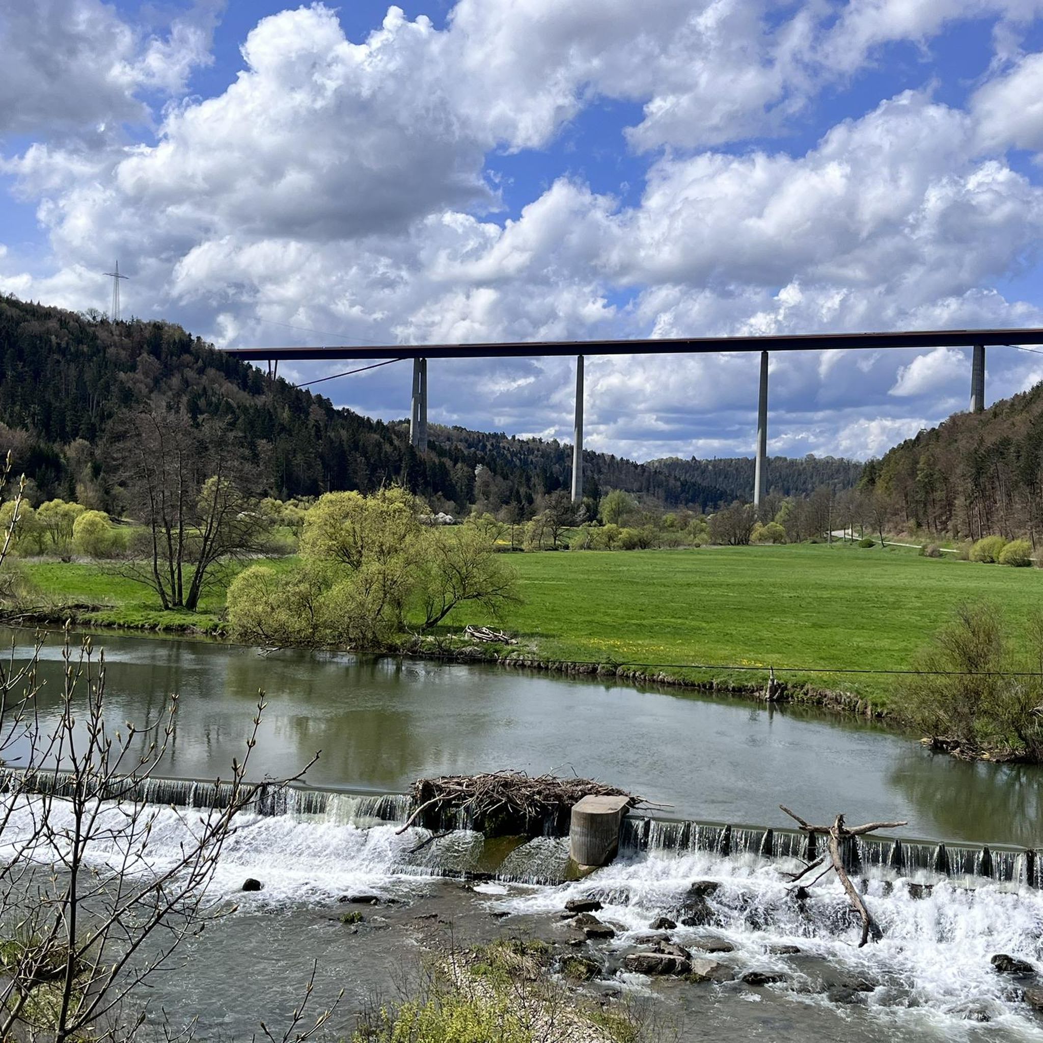
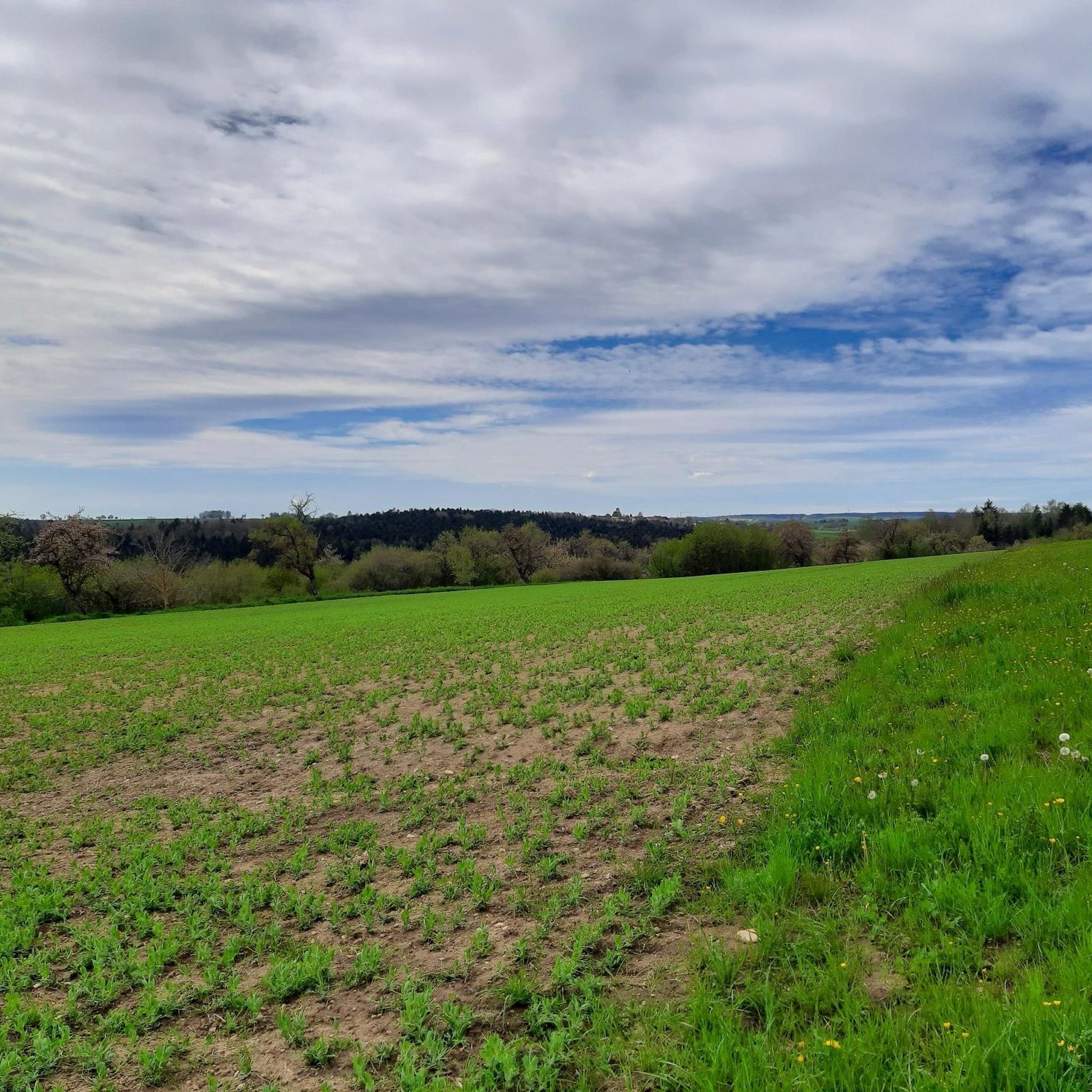
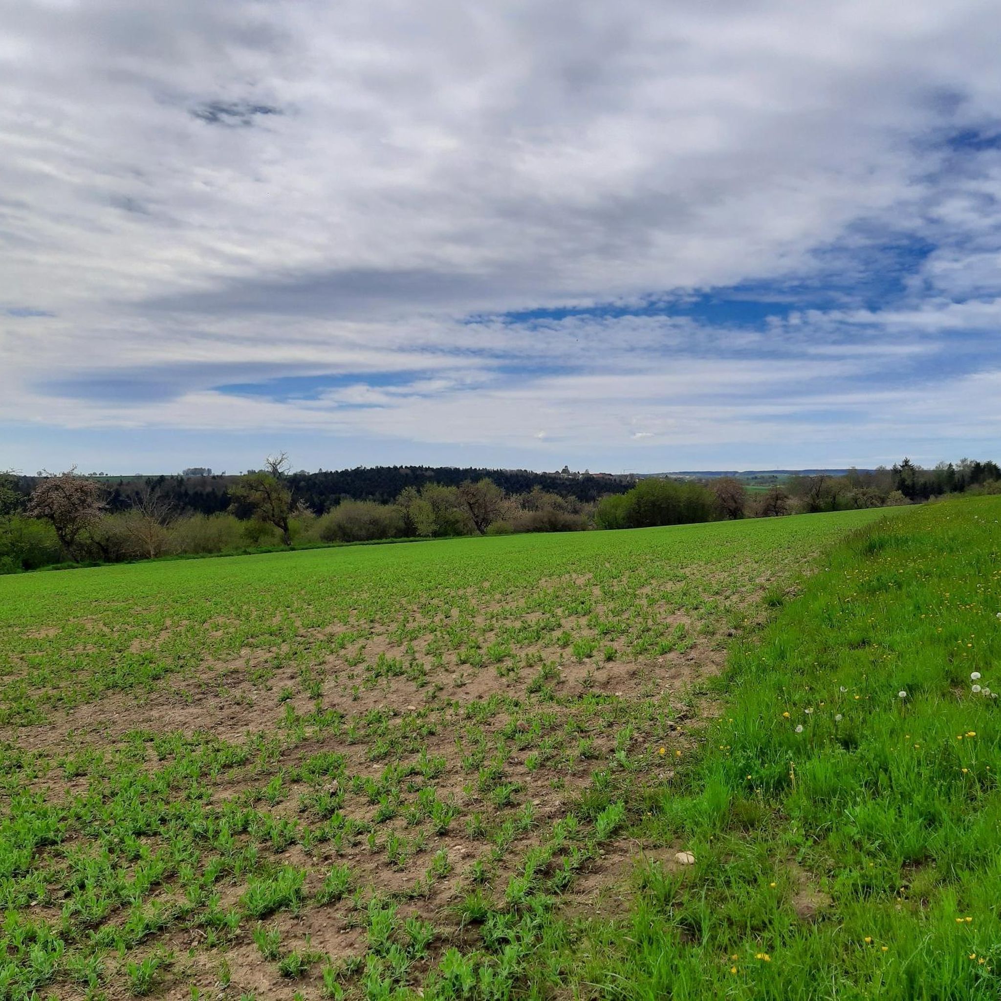
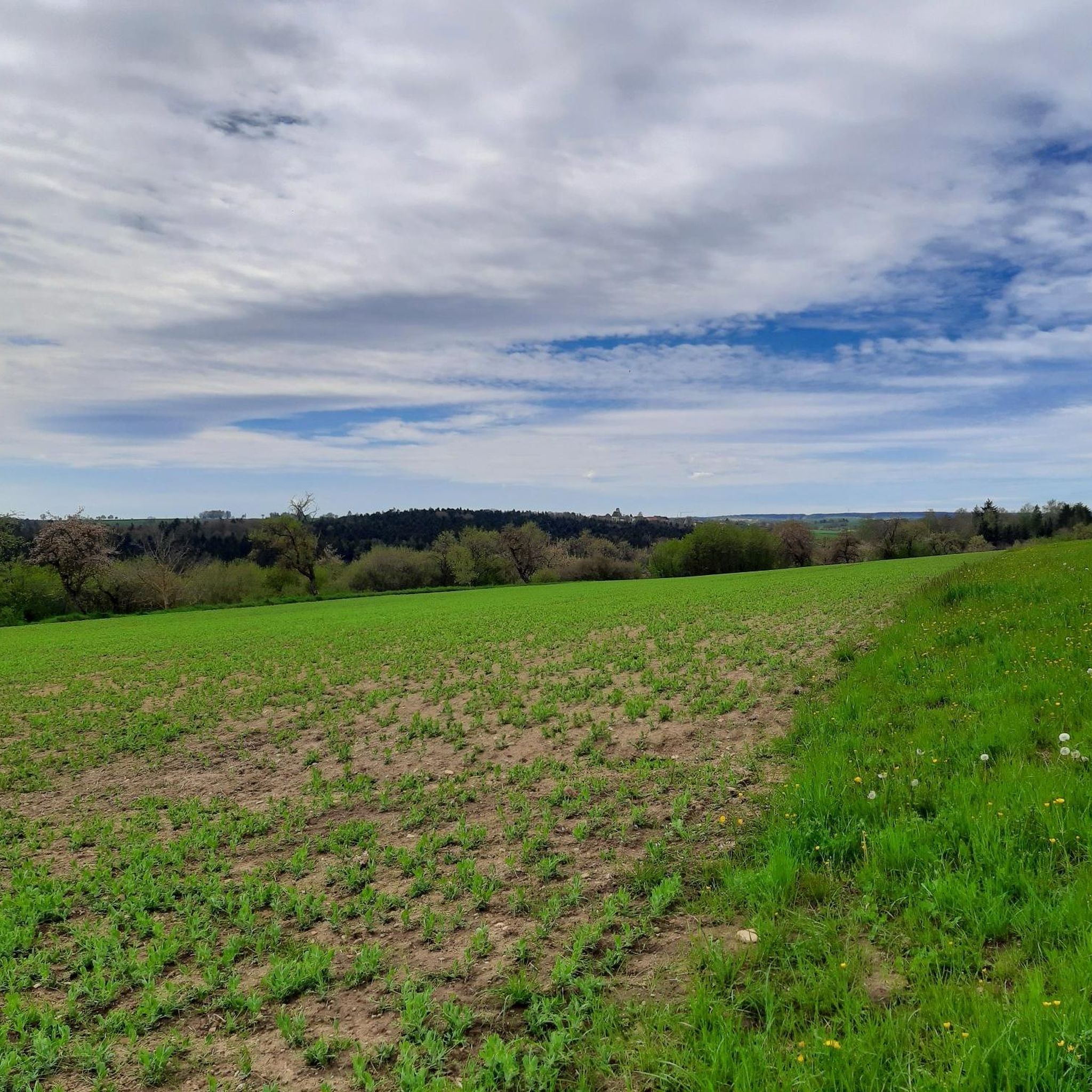
Tips from the Community

Quiet and relaxed along the Starzel. Apart from two cyclists, we met no one.
6
0

Basically a nice tour along the Neckar. The cycle path is well-developed and signposted. Unfortunately, now and then there is a short ride on public roads with traffic etc., so you have to be more careful with small children!
0
0

The Bösinger Wasserhäusle was a pumping station and was used to transport fresh spring water from a source in the Waldach valley via cast iron pipes to the village of Bösingen (a district of the municipality of Pfalzgrafenweiler), located 1.4 km away and 140 meters higher up. The pumps were driven by the water power of the Waldach. A water wheel with a diameter of six meters was used. The facility went into operation in 1894. In 1911, it was supplemented by an 8 hp gasoline engine, which could now also drive the pumps during low water levels in the Waldach. In 1948, it was connected to the power grid via a transformer station, after which a newly installed electric motor could serve as a backup drive. The Bösingen's own water supply was taken out of service in 1991 due to drinking water contamination. The entire facility, including the weir, the power channel, and the pumping station, has been protected as a cultural-historical monument since 2000. The pumping station can be visited all day on the Day of the Open Monument. Source: https://de.wikipedia.org/wiki/B%C3%B6singer_Wasserh%C3%A4usle
0
0
The Bösinger Wasserhäusle was a pumping station and served to transport fresh spring water from a source in the Waldach valley via cast iron pipes to the village of Bösingen (part of the municipality of Pfalzgrafenweiler), 1.4 km away and 140 meters higher. The pumps were driven by the water power of the Waldach. A water wheel with a diameter of six meters was used. The facility went into operation in 1894. In 1911, it was supplemented by an 8 hp gasoline engine, which could now also drive the pumps during low water levels in the Waldach. In 1948, it was connected to the power grid via a transformer station, from which time a newly installed electric motor could serve as a backup drive. The Bösingen's own water supply was taken out of operation in 1991 due to drinking water contamination. The entire facility with its weir, power channel, and pumping station has been protected as a cultural-historical monument since 2000. The pumping station can be visited all day on the Day of the Open Monument. Source: https://de.wikipedia.org/wiki/B%C3%B6singer_Wasserh%C3%A4usle
0
0

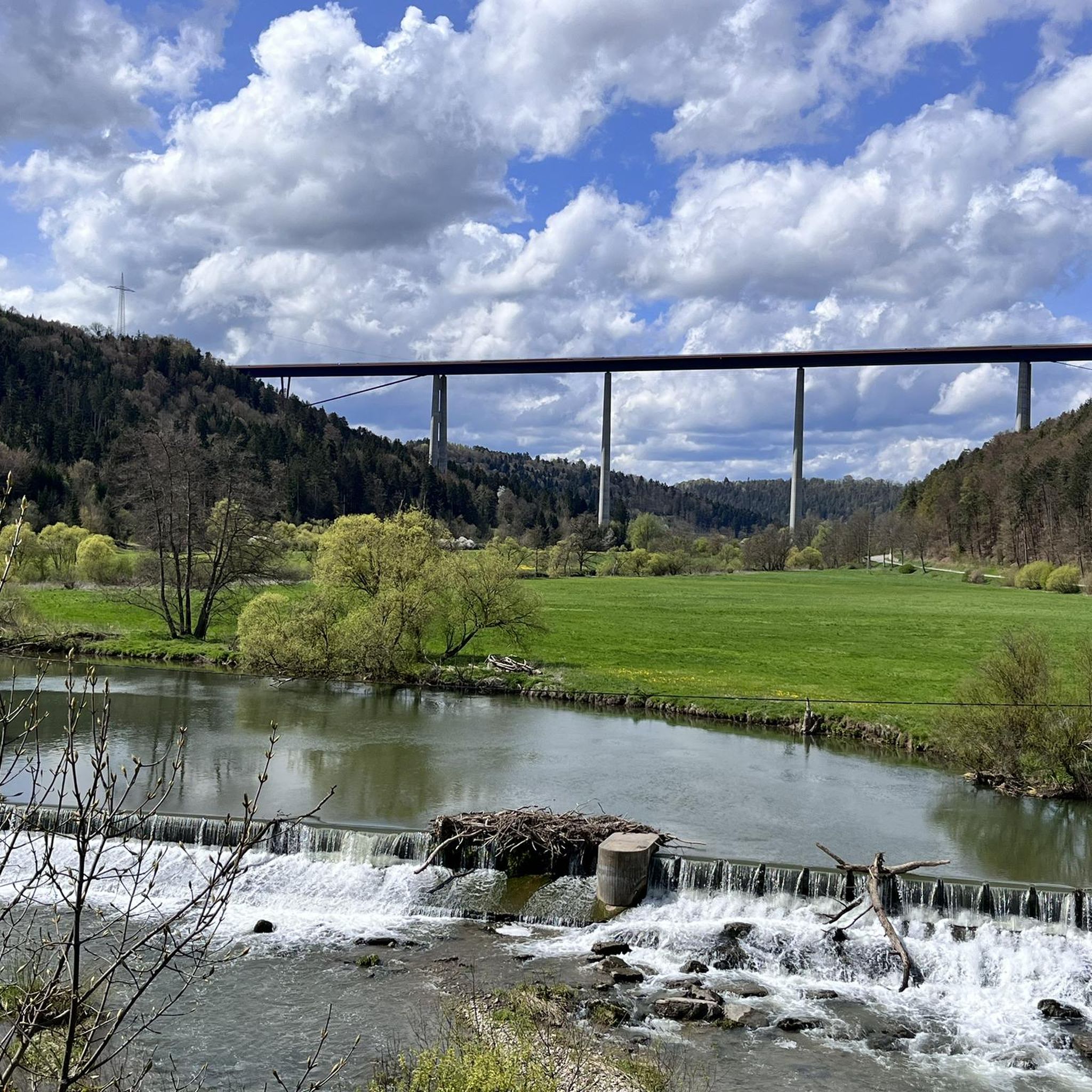
Weir on the Waldach, 300-meter-long drive channel, iron, backward-acting water wheel with spur gear transmission, 6 meters in diameter (originally lined with wooden paddles), 3 meters of head in the drive channel, pump output: 3-5 HP depending on water inflow from the drive channel, double-acting plunger pump from Maschinenfabrik Esslingen from the year 1893 with a high-performance suction and delivery pump and pressure vessel. In 1991, the plant was shut down as a private water supply due to contaminated spring water. Depending on the water level of the Waldach, the pumping station managed to pump 160,000 liters of fresh spring water directly into the houses and into the water reservoir in Bösingen, 2.3 km away and 140 meters higher, in 8 to 14 hours. The spring yields 1-2 liters per second depending on the season.
0
0
Weir on the Waldach, 300-meter-long tailrace canal, iron overshot water wheel with spur gear transmission, 6 meters in diameter (originally with wooden paddles), 3-meter head, pump capacity: 3-5 HP depending on water inflow from the tailrace canal, double-acting plunger pump from Maschinenfabrik Esslingen from 1893 with a powerful suction and delivery pump and pressure vessel. In 1991, the plant was shut down due to contaminated spring water as a private water supply. The pump managed to pump 160,000 liters of fresh spring water directly into the houses and into the water reservoir in Bösingen, 2.3 km away and 140 meters higher, in 8 to 14 hours, depending on the water level of the Waldach. The spring yields 1-2 liters per second depending on the season.
0
0

Beautiful area with a great view. Always worth a visit!
1
0

Very beautiful old building.
0
0
Frequently Asked Questions
How many gravel bike trails are available around Eutingen im Gäu?
There are over 170 gravel bike routes in the Eutingen im Gäu area, offering a wide variety of options for different skill levels and preferences. You'll find everything from easy, short loops to challenging, long-distance adventures.
Are there gravel bike trails suitable for beginners in Eutingen im Gäu?
Yes, Eutingen im Gäu offers a few easy gravel bike trails perfect for beginners or those looking for a relaxed ride. These routes typically feature gentler terrain and fewer elevation changes, allowing you to enjoy the scenery without excessive effort. There are 4 easy routes available.
What kind of terrain can I expect on gravel bike trails near Eutingen im Gäu?
The gravel bike trails around Eutingen im Gäu feature varied terrain, including river valleys, rolling countryside, and forested sections. You'll encounter a mix of paved and unpaved paths, with elevations generally moderate, though some routes include more significant climbs. The landscape provides a blend of open fields and natural waterways, such as the Neckar River.
Are there any long-distance gravel routes in the Eutingen im Gäu region?
Yes, for those seeking longer rides, Eutingen im Gäu offers several extensive gravel routes. For example, the Scenic Countryside Pathway – Neckar River at Bad Niedernau loop from Felldorf covers over 41 kilometers and provides a challenging, scenic experience through varied landscapes.
What are some scenic viewpoints or natural attractions along the gravel bike trails?
Many gravel routes in the region offer beautiful views and pass by interesting natural features. You might encounter highlights such as the Wolf Gorge or the Confluence of the Waldach and the Nagold. Some trails, like the Fountain in Nagold City Park – View from Egenhäuser Kapf loop from Eutingen Nord, specifically highlight viewpoints like Egenhäuser Kapf.
Are there circular gravel bike routes available in Eutingen im Gäu?
Yes, many of the gravel bike trails around Eutingen im Gäu are designed as circular routes, allowing you to start and end at the same point. An example is the Neckar River Trail – Seltenbach Valley loop from Eutingen, which offers a moderate 31-kilometer loop through picturesque valleys.
What is the best time of year for gravel biking in Eutingen im Gäu?
The best time for gravel biking in Eutingen im Gäu is generally during spring (April to June) and autumn (September to October). During these seasons, the weather is typically mild, and the natural scenery is particularly vibrant. Summers can also be pleasant, but it's advisable to start earlier in the day to avoid the midday heat. Winters can be cold with potential for snow, making some trails less accessible.
Are there any cafes or places to stop for a break along the gravel routes?
While specific cafes directly on every route can vary, many trails pass through or near villages and towns where you can find places to refuel. Some routes, like the Mühlen–Eutingen Tunnel – Tunnel near hut for breaks loop from Eutingen Nord, even mention specific huts or rest areas, indicating opportunities for breaks. Planning your route with komoot allows you to see points of interest and potential stops.
What do other gravel bikers say about the trails in Eutingen im Gäu?
The gravel biking routes in Eutingen im Gäu are highly rated by the komoot community, with an average score of 4.6 stars from over 140 reviews. Reviewers often praise the diverse landscapes, the mix of challenging and relaxed sections, and the overall quality of the paths through river valleys, rolling hills, and forests.
Is there public transport access to the gravel bike trails in Eutingen im Gäu?
Public transport options to access the gravel bike trails in Eutingen im Gäu may vary. Eutingen im Gäu has a train station, which can serve as a starting point for some routes. Regional buses also connect various towns and villages. It's recommended to check local train and bus schedules, and their bike transport policies, when planning your trip to ensure convenient access to your chosen trailhead.
Where can I find parking for gravel biking in Eutingen im Gäu?
Parking is generally available in the main town of Eutingen im Gäu and in smaller villages nearby. Many trailheads or popular starting points for routes will have designated parking areas. It's advisable to check the specific starting point of your chosen route on komoot for detailed parking information, or look for public parking facilities in the nearest town.
Most popular routes around Eutingen im Gäu
Most popular attractions around Eutingen im Gäu

Get inspired with the komoot mobile app


Explore more
Browse the best Gravel rides in other regions.
