The best gravel rides around Ottendorf-Okrilla
4.6
(67)
379
riders
63
rides
Gravel biking around Ottendorf-Okrilla offers a network of routes through varied terrain. The region features a mix of woodlands, open fields, and areas around ponds and small valleys, providing diverse surfaces for gravel cyclists. Elevations are generally gentle, with some rolling sections, making it suitable for a range of abilities. The landscape is characterized by its natural, rural setting, with routes often connecting smaller towns and natural areas.
Best gravel bike trails around Ottendorf-Okrilla
- The most popular gravel bike trail is Priessnitz Valley Trail – Prießnitzgrund Stone Bridge loop from Hermsdorf (b Dresden), a 29.7 miles (47.7 km) trail that takes 2 hours 41 minutes to complete. This moderate route explores the scenic Priessnitz Valley.
- Another top favourite among local gravel bikers is Niederer Waldteich – Middle Pond loop from Medingen, a moderate 17.7 miles (28.5 km) path. This route circles around local ponds, offering a mix of forest and open views.
- Local gravel bikers also love the Altenteiche Moritzburg – Large Pond loop from Berbisdorf, a 27.0 miles (43.5 km) trail leading through areas around the Moritzburg ponds, often completed in about 3 hours 32 minutes.
- Gravel biking around Ottendorf-Okrilla is defined by its woodlands, pond landscapes, and rural paths. The network offers options for different ability levels, from easier rides to more challenging routes.
- The routes in Ottendorf-Okrilla are highly rated by the komoot community with an average score of 4.6 stars from over 100 reviews. More than 400 gravel bikers have used komoot to explore Ottendorf-Okrilla's varied terrain.
Last updated: July 2, 2026
4.3
(6)
19
riders
23.7km
01:21
240m
240m
Moderate gravel ride. Good fitness required. Mostly paved surfaces. Suitable for all skill levels.
4.4
(5)
26
riders
Moderate gravel ride. Good fitness required. Mostly paved surfaces. Suitable for all skill levels.

Sign up for free
11
riders
49.5km
03:06
260m
260m
Hard gravel ride. Good fitness required. You may need to push your bike for some segments of this route.
5.0
(1)
8
riders
48.1km
02:41
370m
370m
Moderate gravel ride. Good fitness required. Mostly paved surfaces. Suitable for all skill levels.
4.0
(1)
6
riders
28.5km
01:45
160m
160m
Moderate gravel ride. Good fitness required. Mostly paved surfaces. Suitable for all skill levels.
Get access to more routes and recommendations from other explorers.
Sign up for free
Already have an account?
Our route recommendations are based on thousands of hikes, rides, and runs completed by other people on komoot.
Start today with a free account
Your next adventure awaits.
Login or Signup
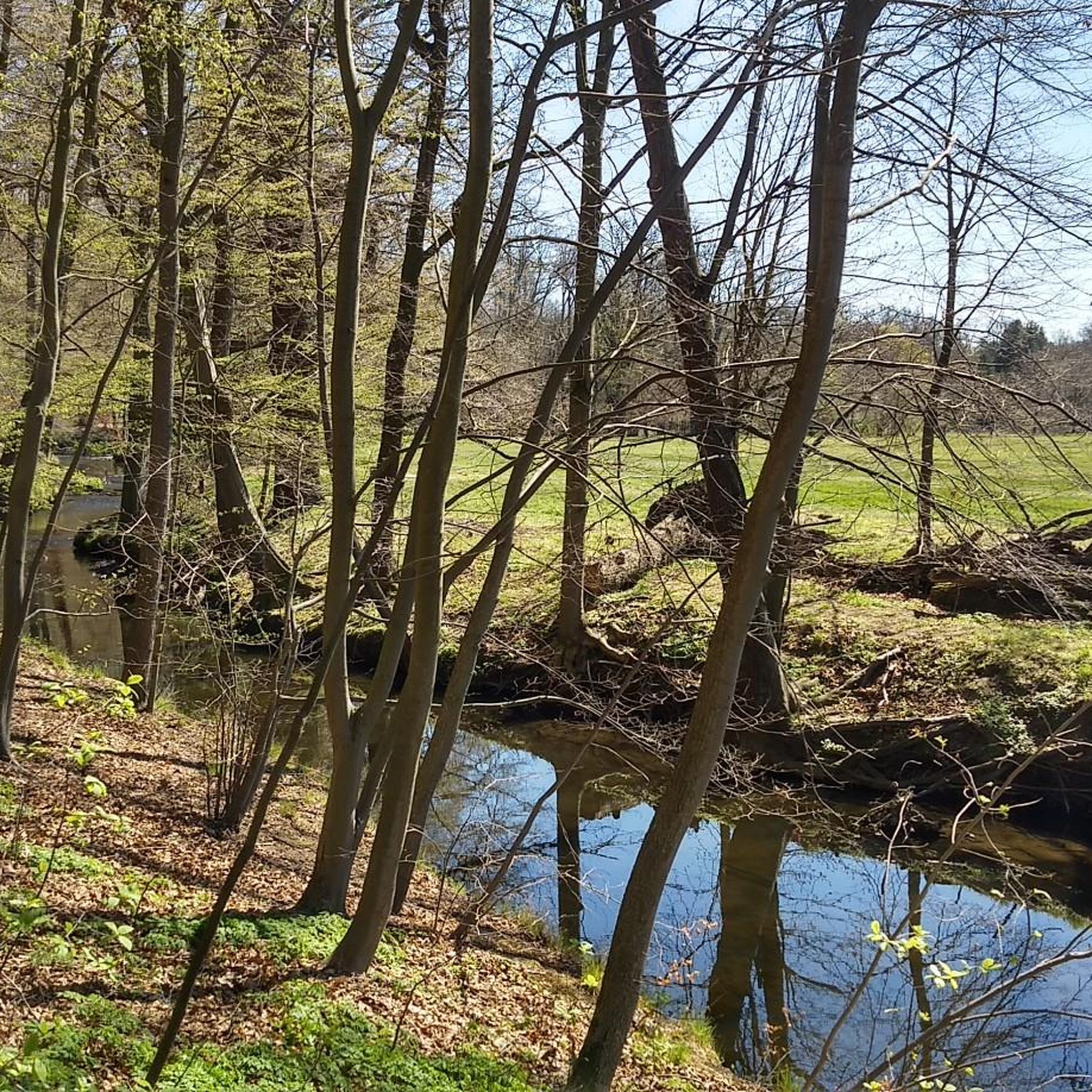
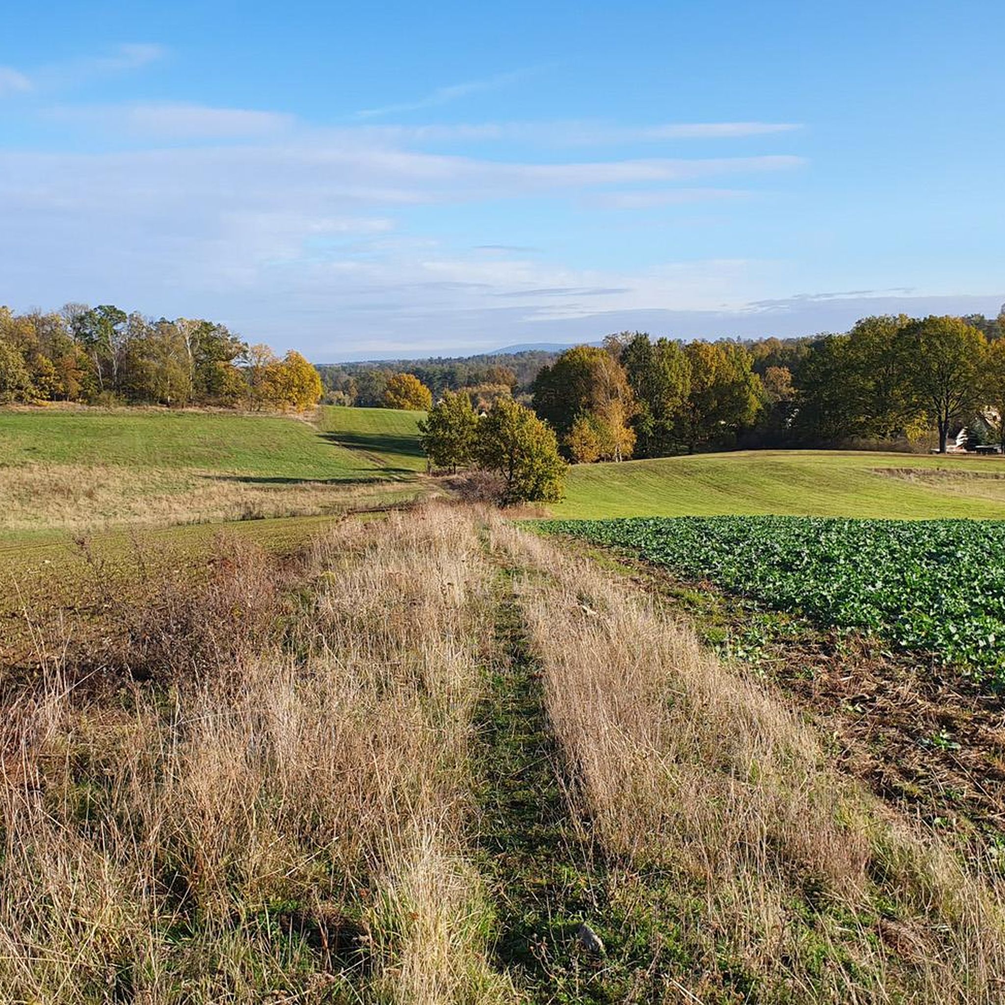
Other adventures around Ottendorf-Okrilla

Tips from the Community

Easily doable for a gravel bike. With narrower tires, enjoy with more caution.
0
0

Wide fast cycle path, very easy to ride!
0
1
Nice tree-lined path for riding fast 🚴💨
0
0

Beautiful view over the perimeter wall, built by the federation
0
0

The Langebrücker Saugarten (Langebrücker Saugarten) is the largest and best-preserved Saugarten (sucking garden) in the Dresden Heath. It is located just 500 meters from the village of Langebrück. The area is roughly the size of Dresden's Altmarkt square and was established in 1781/82 as the "New Saugarten." A stone wall encloses parts of the complex, and a small stone house, formerly used to store hunting equipment, still stands on Sternbrückenhübelweg.
3
1

Just a few meters from the road, at the northeast end, you can even ride your racing bike to the "beach" to cool off.
2
0


The Dresden Heath is a vast forest and heathland area in the southeast of Dresden. It is a popular local recreation area and offers a diverse landscape with pine forests, open heathlands, lakes, and ponds. **Landscape and Nature:** * **Heathlands:** The area is characterized by extensive heathlands with heather, which blooms in purple in late summer. These provide a unique sight and a habitat for various insects and birds. * **Forests:** The area is predominantly characterized by pine forests, but mixed forests with birch and oak trees are also present. The forests offer hiking trails and opportunities to relax in nature. * **Bodies of Water:** Several lakes and ponds, including the Great and Small Deuben Lakes, are ideal for swimming and water sports. They are also home to various bird species. * **Flora and Fauna:** The Dresden Heath is home to a rich flora and fauna. In addition to heather, various other plant species can be found, including rare orchids. Birds, insects, reptiles, and amphibians live here. **Activities:** * **Hiking:** An extensive network of hiking trails invites you to explore. The paths are well signposted and offer varying levels of difficulty. * **Cycling:** The Dresden Heath is also a paradise for cyclists. Numerous bike paths lead through the area. * **Swimming:** You can swim in the lakes in summer and cool off on hot days. * **Horseback Riding:** There are bridleways that lead through the heathland. * **Nature Observation:** The heath is an ideal place for nature observation. With a bit of luck, you might spot various animal species. **Accessibility:** The Dresden Heath is easily accessible by public transport and car. There are several parking lots on the edge of the area. **Conclusion:** The Dresden Heath is a beautiful and diverse recreational area worth visiting at any time of year. Whether for hiking, biking, swimming, or simply relaxing in nature – everyone will find something to their liking here.
0
0
Frequently Asked Questions
How many gravel bike trails are available around Ottendorf-Okrilla?
There are over 80 gravel bike routes in the Ottendorf-Okrilla region, offering a wide variety of options for different skill levels and preferences. The komoot community has explored these trails over 400 times.
Are there easy gravel bike trails suitable for beginners in Ottendorf-Okrilla?
Yes, the region offers a good selection of easier routes. You'll find over 20 easy gravel bike trails, characterized by gentle elevations and varied terrain through woodlands and open fields, making them ideal for beginners or those seeking a relaxed ride.
What are some longer gravel bike routes near Ottendorf-Okrilla?
For longer rides, consider routes that explore the wider area. The Priessnitz Valley Trail – Prießnitzgrund Stone Bridge loop from Hermsdorf (b Dresden) is a moderate 47.7 km (29.7 miles) option, while the Altenteiche Moritzburg – Large Pond loop from Berbisdorf covers 43.5 km (27.0 miles) and offers a more challenging experience around the Moritzburg ponds.
Are there family-friendly gravel bike trails in the region?
Many of the routes around Ottendorf-Okrilla are suitable for families, especially those with gentler gradients and scenic views. The trails often pass through woodlands and around ponds, providing a pleasant environment for all ages. Look for routes marked as 'easy' or 'moderate' for the best family experience.
Can I find circular gravel bike routes in Ottendorf-Okrilla?
Yes, many gravel bike routes in the area are designed as loops, allowing you to start and end at the same point. Examples include the popular Niederer Waldteich – Middle Pond loop from Medingen, which circles local ponds, and the Dresden Heath – Prießnitzgrund loop from Weixdorf Bad.
What kind of natural attractions can I see along the gravel bike trails?
The routes often lead through areas rich in natural beauty. You might encounter highlights such as the Priessnitz Waterfall, the serene Haarweiden Reservoir, or the picturesque Große Röder River in the Seifersdorfer Valley. These natural monuments add a scenic dimension to your ride.
Are there any historical landmarks or castles near the gravel routes?
Absolutely. The region is home to several notable landmarks. You can cycle near the impressive Moritzburg Castle and its charming Fasanenschlösschen Moritzburg. Some routes also offer views of the historic Lingner Castle.
Are there gravel bike trails with cafe stops or refreshment options?
Yes, some routes are designed to pass by places where you can take a break. For example, the Ottendorfer Mühlenbäcker Café – At the Green Column loop from Ottendorf-Okrilla Süd specifically includes a cafe stop, allowing you to refuel and relax during your ride.
What is the best time of year for gravel biking in Ottendorf-Okrilla?
The region is generally pleasant for gravel biking from spring through autumn. The woodlands offer shade in summer, and the open fields are beautiful in spring and early autumn. While winter riding is possible, be prepared for potentially muddy or icy conditions, especially on unpaved sections.
What do other gravel bikers enjoy most about the trails in Ottendorf-Okrilla?
The area is highly rated by the komoot community, with an average score of 4.6 stars from over 100 reviews. Reviewers often praise the diverse terrain, the peaceful woodlands, and the scenic pond landscapes that define the gravel biking experience here.
Is it possible to access gravel trails using public transport in Ottendorf-Okrilla?
Ottendorf-Okrilla and its surrounding towns are connected by local public transport, including bus services. While direct access to every trailhead might vary, it's often possible to reach starting points for many routes via public transport, especially those originating from larger villages or towns.
Where can I find parking for gravel biking in Ottendorf-Okrilla?
Parking is generally available in the towns and villages around Ottendorf-Okrilla, often near public facilities or designated parking areas. When planning your route, check the starting point for specific parking information, as many komoot tours provide details on convenient places to leave your vehicle.
Most popular routes around Ottendorf-Okrilla
Most popular attractions around Ottendorf-Okrilla

Get inspired with the komoot mobile app


Explore more
Browse the best Gravel rides in other regions.
