The best gravel rides around Rettershain
4.4
(22)
90
riders
21
rides
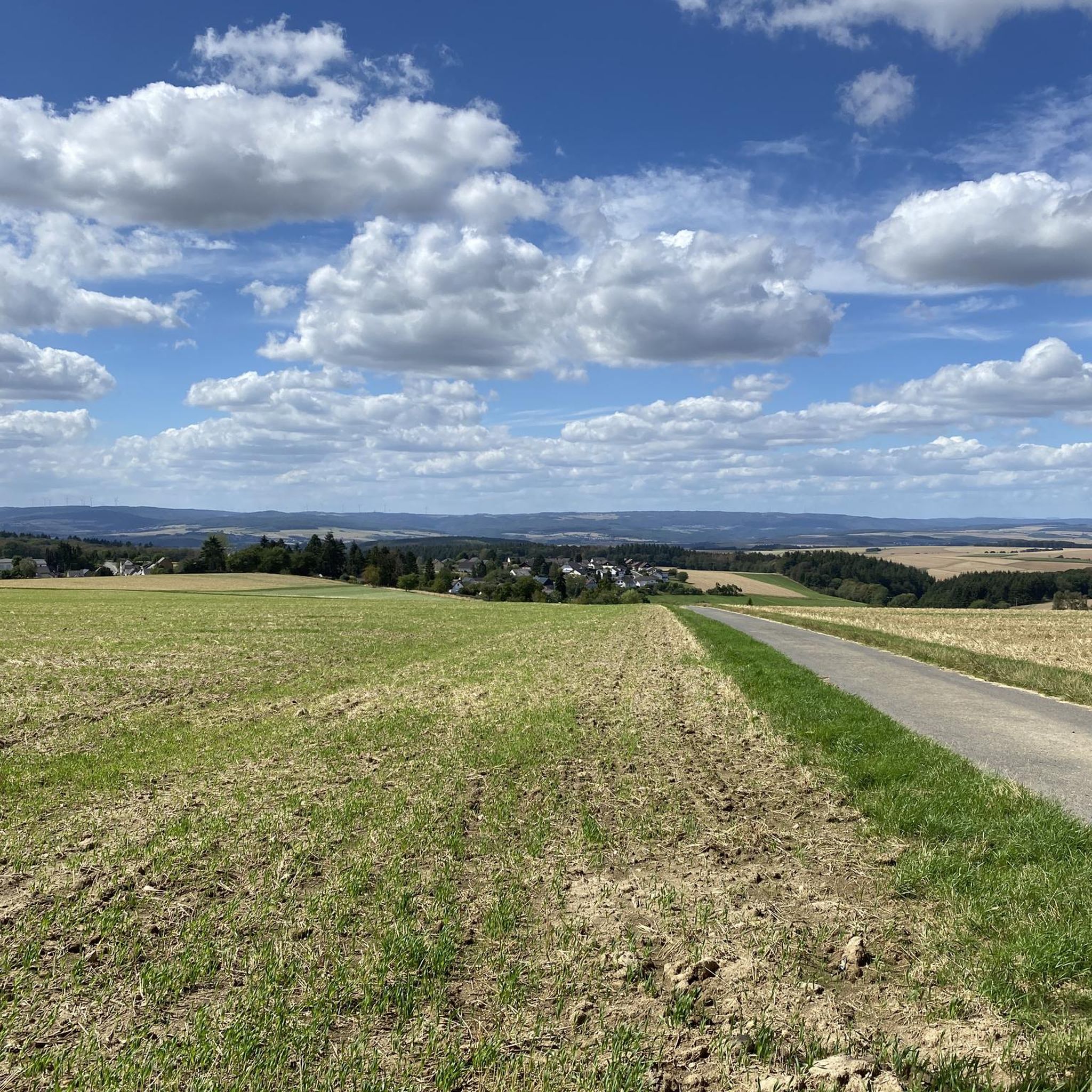
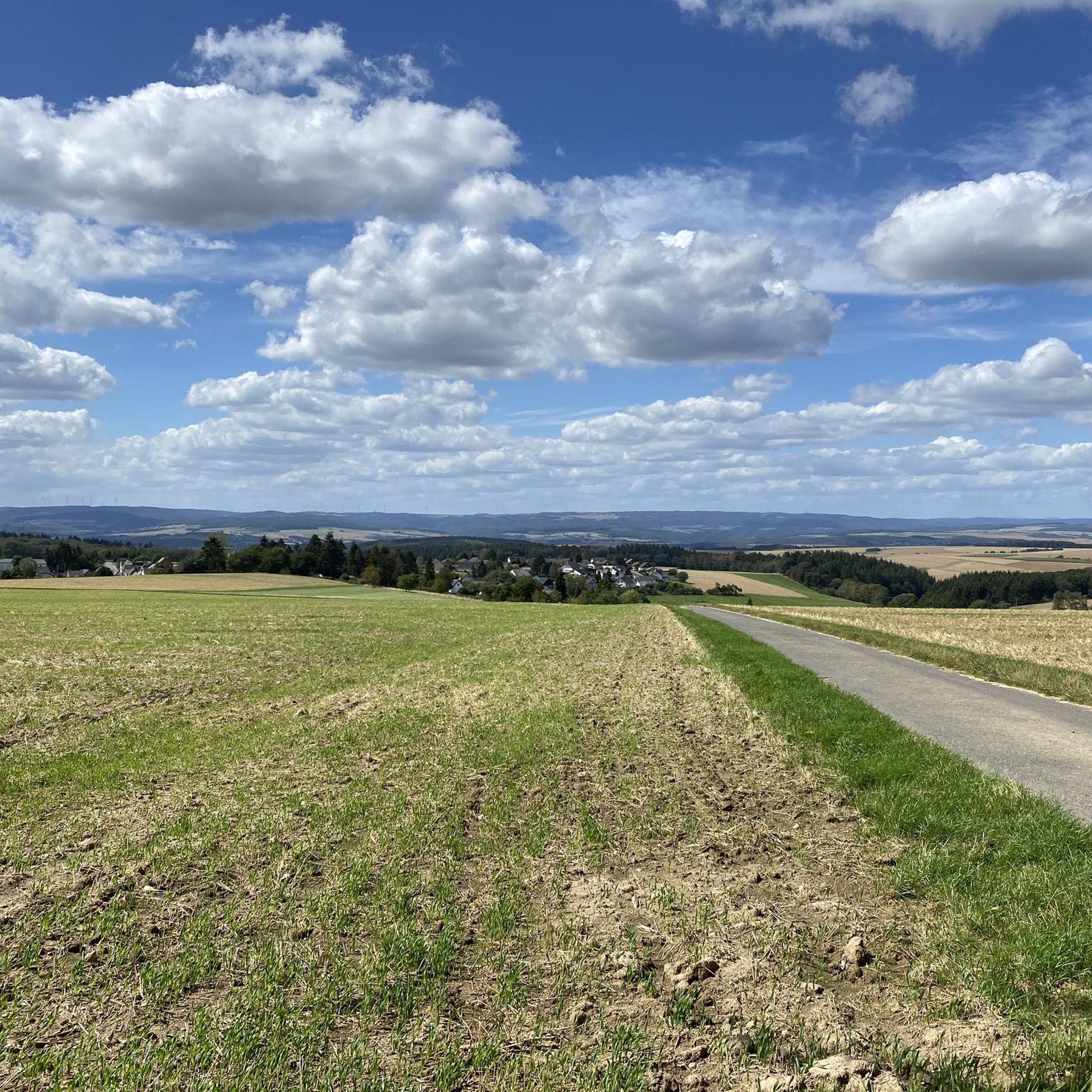
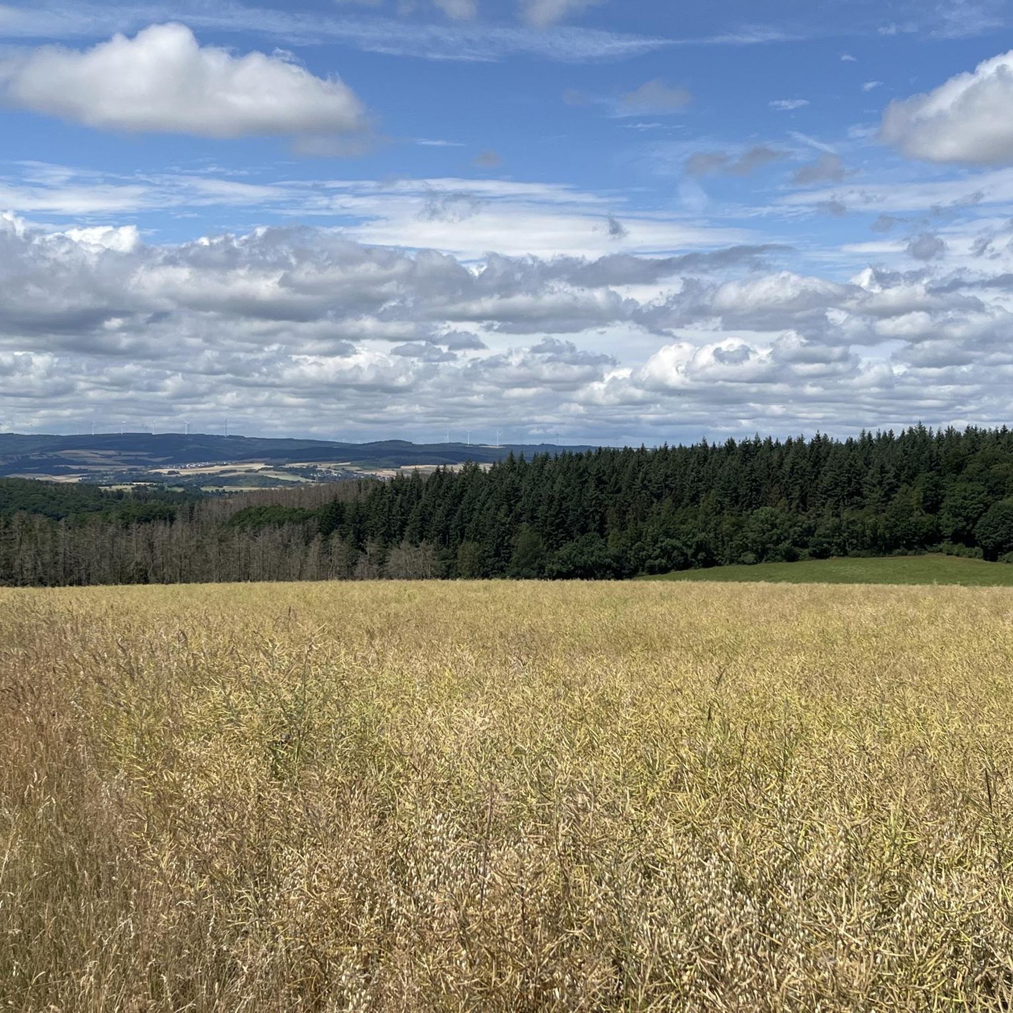
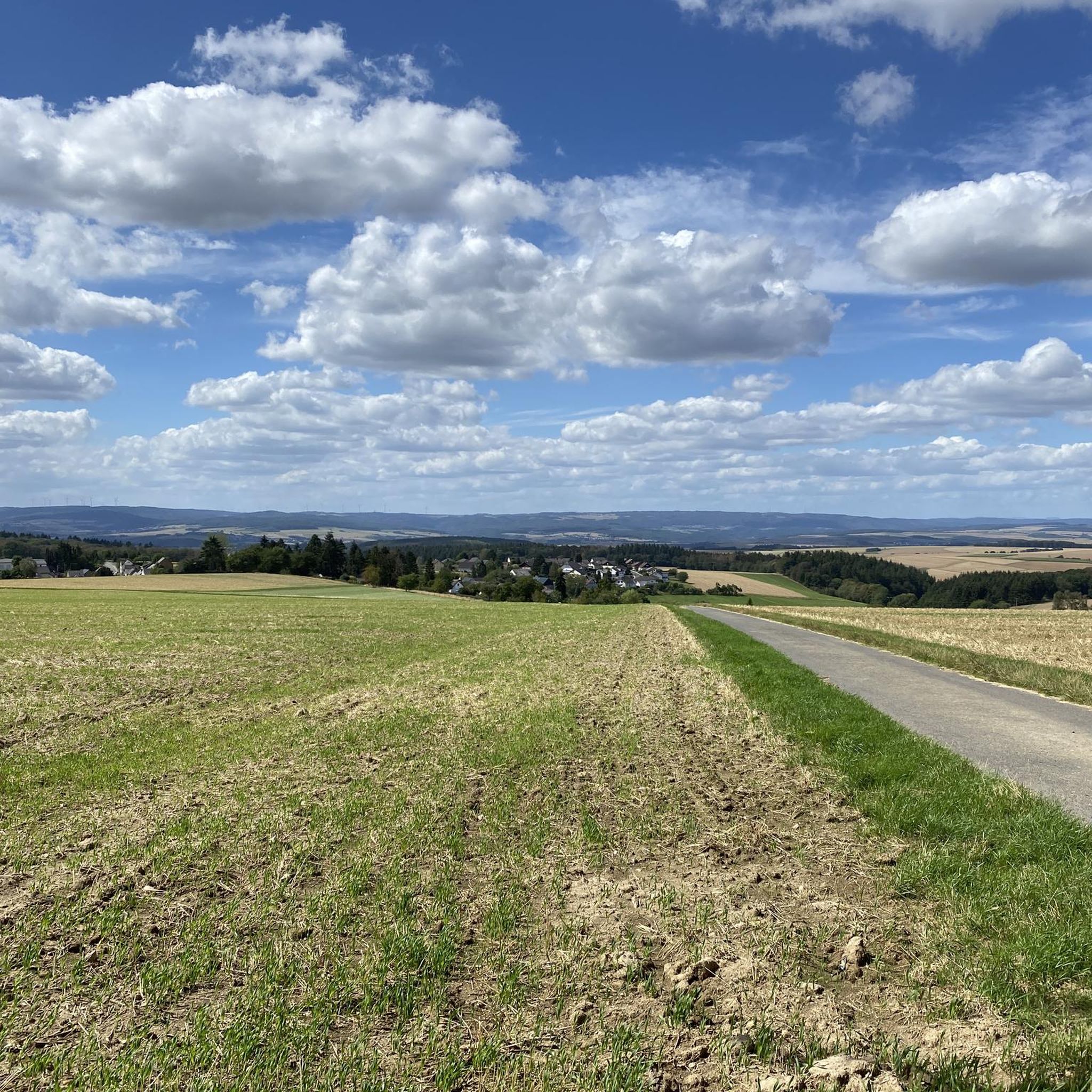
Gravel biking around Rettershain offers a network of routes traversing the region's varied landscape. The area is characterized by rolling hills, river valleys, and elevated viewpoints, providing diverse terrain for gravel cyclists. These routes often feature a mix of unpaved roads, forest tracks, and some paved sections, suitable for gravel bikes. The elevation changes across the region contribute to both challenging climbs and scenic descents.
Best gravel bike trails around Rettershain
- The most popular gravel bike trail is Large Donkey…
Last updated: October 6, 2026
18
riders
127km
09:21
2,160m
2,160m
Hard gravel ride. Very good fitness required. You may need to push your bike for some segments of this route.
4.6
(8)
23
riders
Hard gravel ride. Very good fitness required. Mostly paved surfaces. Suitable for all skill levels.

3.7
(3)
16
riders
Hard gravel ride. Very good fitness required. Mostly paved surfaces. Suitable for all skill levels.
4.5
(6)
16
riders
Moderate gravel ride. Good fitness required. Mostly paved surfaces. Suitable for all skill levels.
4.0
(1)
4
riders
Hard gravel ride. Very good fitness required. Mostly paved surfaces. Suitable for all skill levels.
Get access to more routes and recommendations from other explorers.
Already have an account?
Our route recommendations are based on thousands of hikes, rides, and runs completed by other people on komoot.
Start today with a free account
Your next adventure awaits.
Tips from the Community

The view over the Hauserbach reservoir is also somewhat calming.
0
0
We stopped here at the end of the hike with a group. The price-performance ratio was very good. The service was fast and friendly, and the food was very tasty and plentiful. This place is therefore recommended.
0
0
The bridge with the church in the background is really a beautiful motif.
0
0
Here you can also replenish your drink supply.
0
0
The artificially created water surface has a calming effect. From the shelter, there is a beautiful view over the lake.
0
0

The Wispersee is a fishing area - especially the eastern part.
1
0

Great location. With seating. Absolutely invites you to relax.
0
0

A nice destination to drive to.
0
0
Frequently Asked Questions
How many gravel bike trails are available around Rettershain?
There are over 25 gravel bike trails around Rettershain, offering a variety of routes through the region's diverse landscape.
Are there any easy gravel bike trails for beginners near Rettershain?
While most routes around Rettershain are rated moderate to difficult, there are a few options suitable for those looking for a less strenuous ride. For example, the View from Marienfels – Sauerborn Spring in Marienfels loop from Niederwallmenach is a moderate 40 km path that offers scenic views without extreme challenges.
What kind of terrain can I expect on gravel bike routes in Rettershain?
Gravel biking around Rettershain features a mix of unpaved roads, forest tracks, and some paved sections. The region is characterized by rolling hills, river valleys, and elevated viewpoints, providing varied terrain with both challenging climbs and scenic descents.
Are there any circular gravel bike routes in the Rettershain area?
Yes, many of the gravel bike routes around Rettershain are designed as loops. For instance, the popular Large Donkey Farm Bornich – Our Thick Oak (Endlichhofen) loop from St. Goarshausen is an extensive circular route, and the View of Hasenbach Valley – Sauerborn Spring in Marienfels loop from Niederwallmenach also offers a circular experience.
What are some scenic viewpoints or landmarks I can see along the gravel bike trails?
The routes often pass by stunning viewpoints and historical landmarks. You can enjoy the View of the Loreley Rock, visit the Ox Tower in Oberwesel, or take in the panoramic views from the Wackenberghütte Viewpoint. Some routes also feature the Pfalzgrafenstein Castle.
Are there any routes that pass by waterfalls or natural springs?
Yes, some routes incorporate natural features. For example, the View from Marienfels – Sauerborn Spring in Marienfels loop from Niederwallmenach passes by the Sauerborn Spring. You might also find the St. Goar Waterfall accessible from some trails or nearby areas.
What do other gravel bikers say about the trails in Rettershain?
The gravel biking routes in Rettershain are highly rated by the komoot community, with an average score of 4.4 stars from nearly 20 reviews. Riders often praise the varied terrain, the extensive network of tracks, and the beautiful rural landscapes.
What is the longest gravel bike route available in Rettershain?
The longest gravel bike route is the Large Donkey Farm Bornich – Our Thick Oak (Endlichhofen) loop from St. Goarshausen, which spans approximately 133 kilometers and is considered a difficult trail, typically taking nearly 12 hours to complete.
Are there any challenging gravel bike trails for experienced riders?
Absolutely. The majority of routes around Rettershain, 22 out of 28, are rated as difficult. These routes feature significant elevation changes and longer distances, such as the Hindenburghöhe Viewpoint – View of Burg Maus loop from Oberwallmenach, which covers over 44 kilometers with substantial climbing.
Can I find routes that offer views of the Loreley Rock?
Yes, some routes provide excellent views of the iconic Loreley Rock. The View of the Loreley Rock – Ox Tower, Oberwesel loop from Oberwesel is a notable example, offering direct views of this famous landmark.
What is the typical duration for a gravel bike ride in this region?
Ride durations vary significantly based on the route's length and difficulty. Moderate routes like the View from Marienfels – Sauerborn Spring in Marienfels loop from Niederwallmenach might take around 3 hours, while more difficult and longer trails can extend to 12 hours or more.
Most popular attractions around Rettershain

Get inspired with the komoot mobile app


Explore more
Browse the best Gravel rides in other regions.
