The best gravel rides around Obertiefenbach
4.5
(45)
111
riders
34
rides
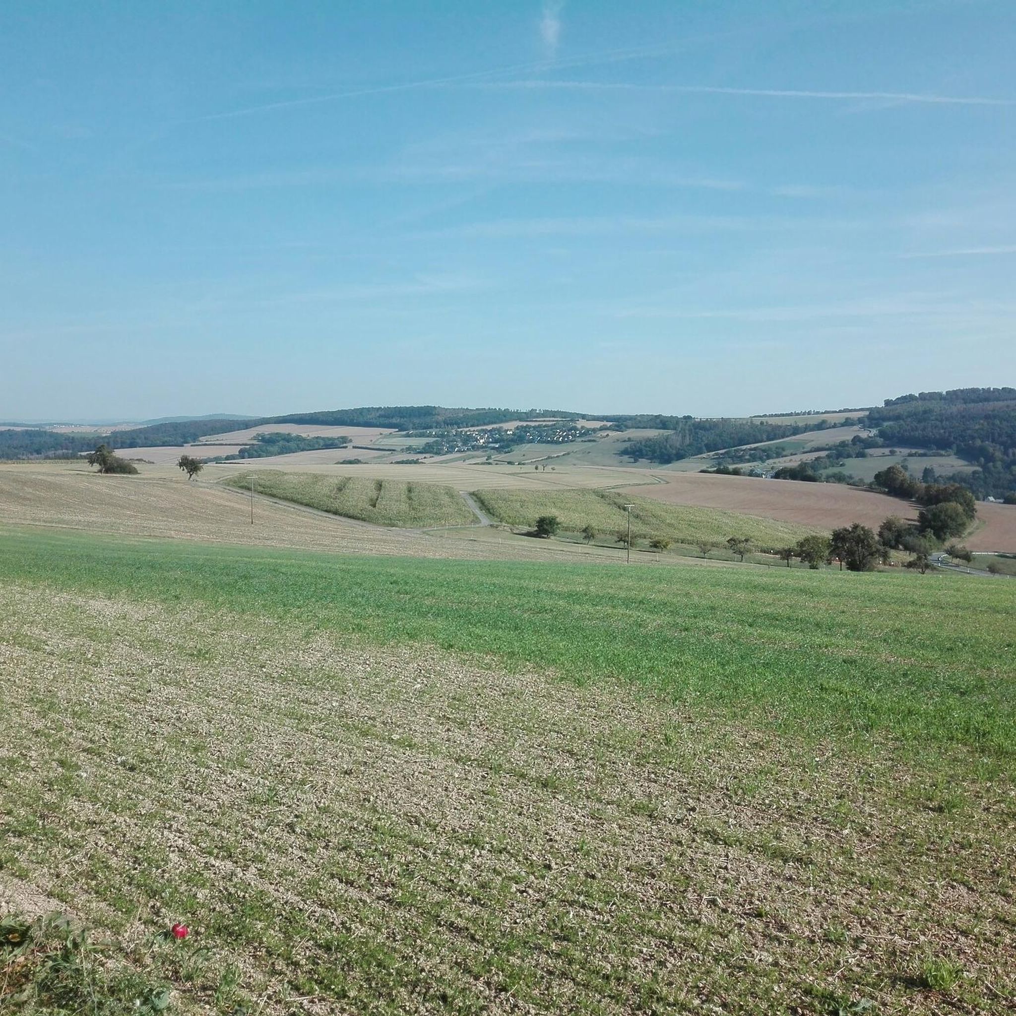
Gravel biking around Obertiefenbach features a landscape characterized by rolling hills, dense forests, and scenic valleys. The region offers varied terrain, including routes that pass by historical sites and natural viewpoints. Elevations range, providing options from moderate climbs to more challenging ascents. The trails often follow natural contours, connecting different local features.
Best gravel bike trails around Obertiefenbach
- The most popular gravel bike trail is Hauserbachsee – View of Hasenbach Valley loop from Ehr, a 21.8 miles (35.0 km)…
Last updated: October 6, 2026
4.7
(9)
25
riders
35.4km
02:17
430m
430m
Hard gravel ride. Good fitness required. You may need to push your bike for some segments of this route.
4.0
(2)
7
riders
30.1km
02:13
440m
440m
Moderate gravel ride. Good fitness required. Mostly paved surfaces. Suitable for all skill levels.

5.0
(1)
4
riders
56.5km
03:53
810m
810m
Hard gravel ride. Very good fitness required. Mostly paved surfaces. Suitable for all skill levels.
4.5
(6)
16
riders
Moderate gravel ride. Good fitness required. Mostly paved surfaces. Suitable for all skill levels.
3
riders
41.2km
02:59
560m
560m
Hard gravel ride. Very good fitness required. Mostly paved surfaces. Suitable for all skill levels.
Get access to more routes and recommendations from other explorers.
Already have an account?
Our route recommendations are based on thousands of hikes, rides, and runs completed by other people on komoot.
Start today with a free account
Your next adventure awaits.
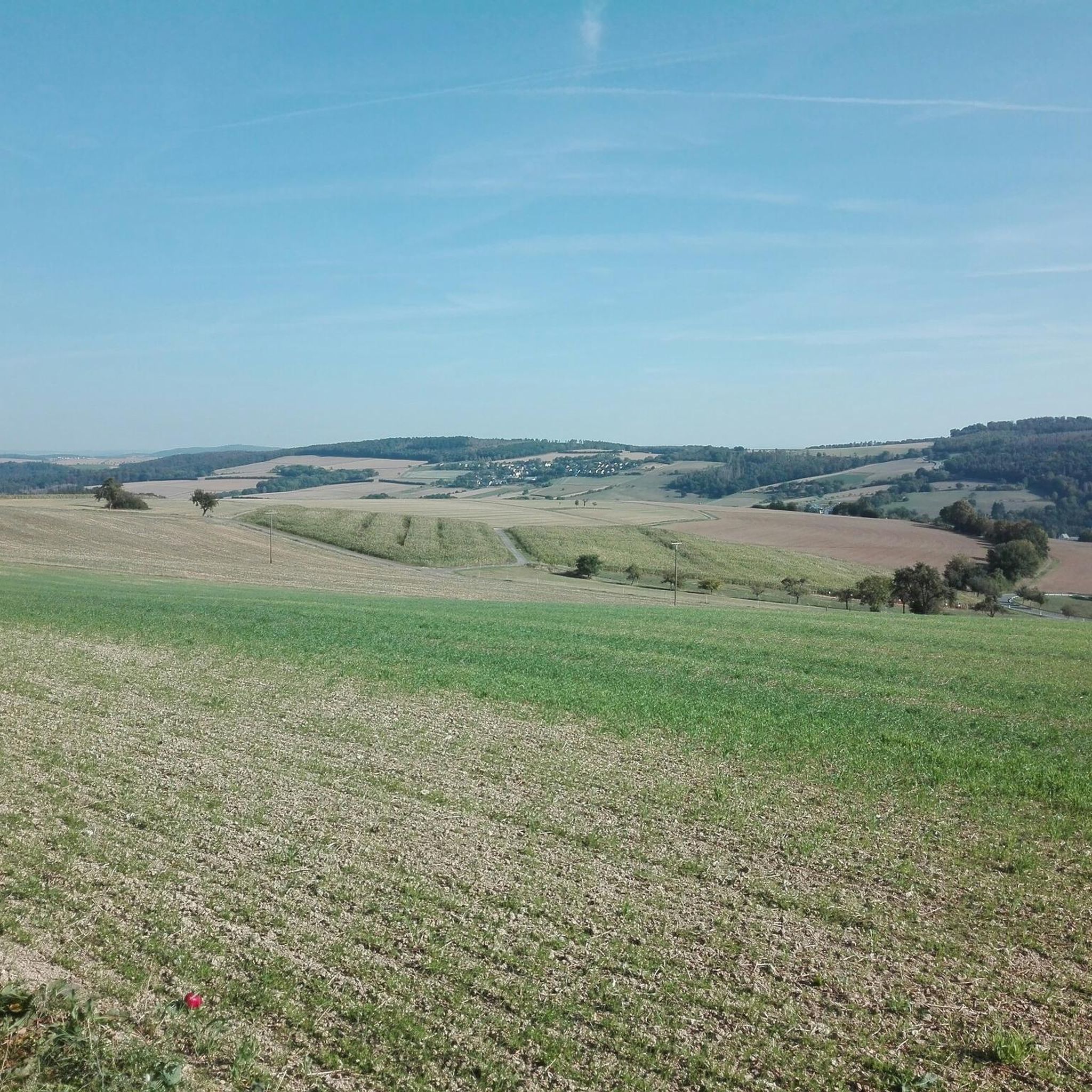
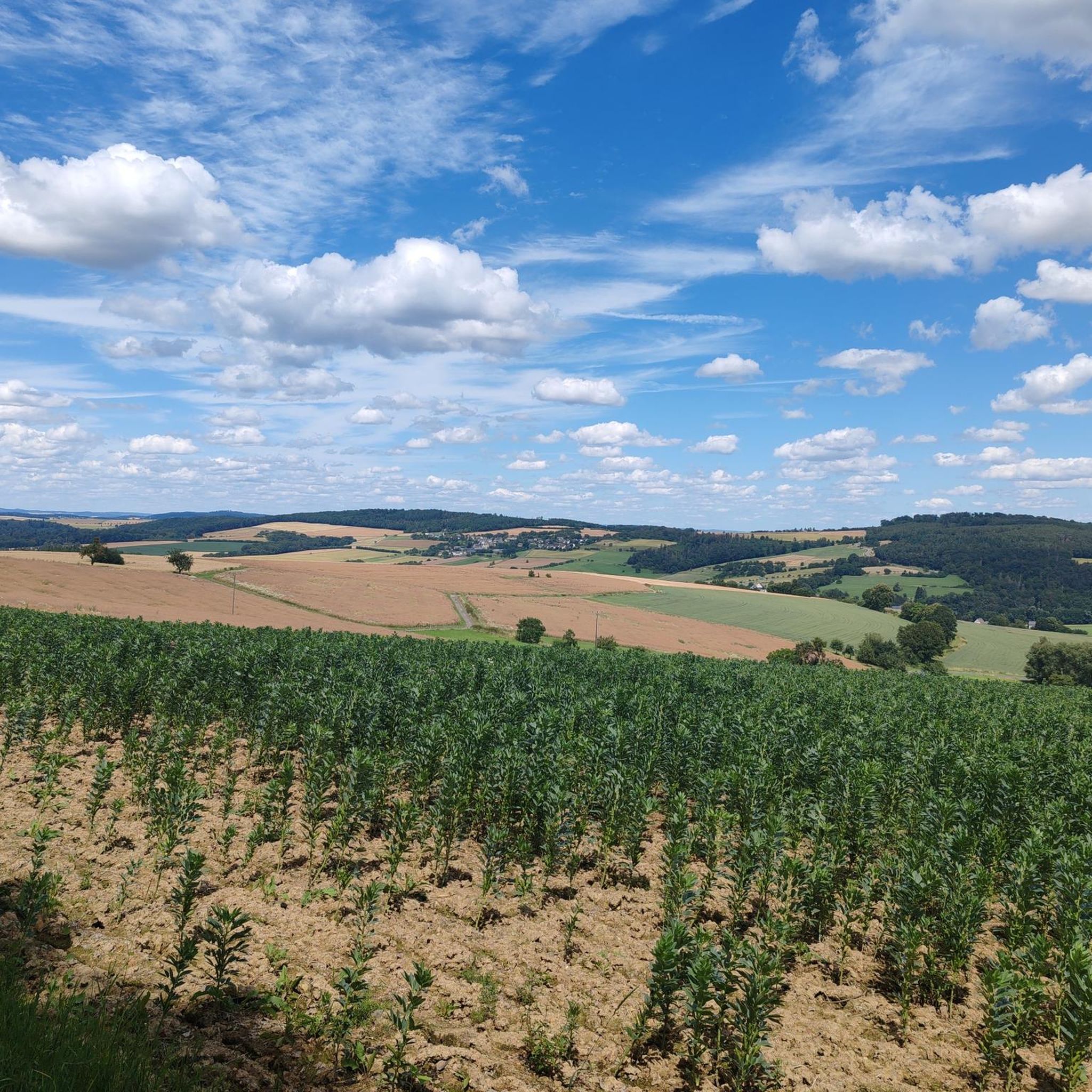
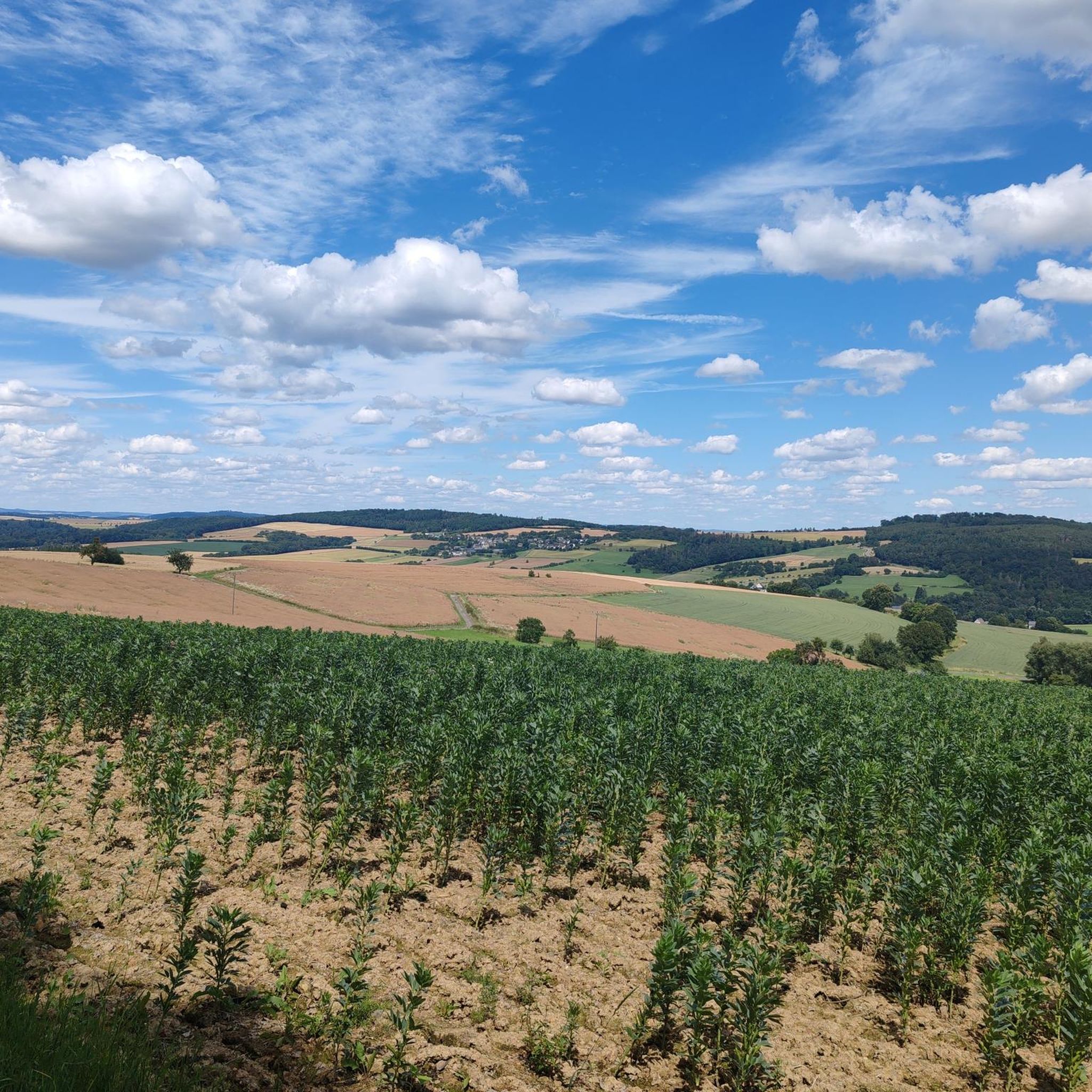
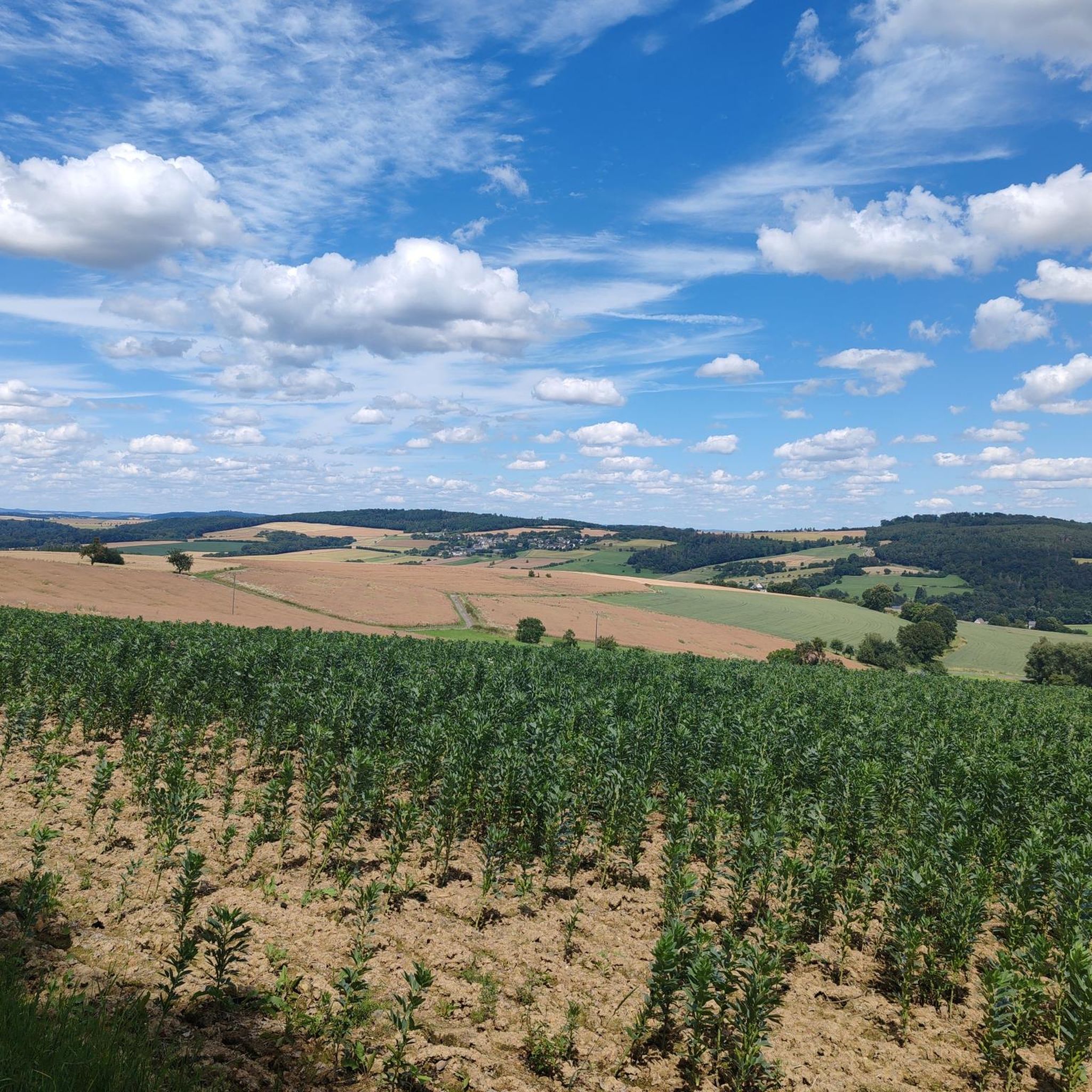
Tips from the Community

The view over the Hauserbach reservoir is also somewhat calming.
0
0
We stopped here at the end of the hike with a group. The price-performance ratio was very good. The service was fast and friendly, and the food was very tasty and plentiful. This place is therefore recommended.
0
0
A really great view into the distance!
0
0
The artificially created water surface has a calming effect. From the shelter, there is a beautiful view over the lake.
0
0

The Holzhausen Roman Fort is an impressive example of Roman military architecture on the Upper Germanic Limes—now a UNESCO World Heritage Site. It is idyllically situated in the forest near Holzhausen an der Haide in the Rhein-Lahn district and is one of the best-preserved Limes forts in Germany.
1
0

cozy corner and beautiful view
1
0

A beautiful rest area with breathtaking views over the Einrich and far into the Taunus Mountains. Katzenelnbogen and the small villages lie at your feet.
0
0

Coming from Hahnstätten towards Katzenelnbogen/Nastätten, wonderful panoramic view of Katzenelnbogen and surroundings
0
0
Frequently Asked Questions
How many gravel bike trails are available around Obertiefenbach?
There are over 40 gravel bike trails around Obertiefenbach, offering a diverse range of options for different skill levels. You'll find everything from moderate routes to more challenging ascents through rolling hills and dense forests.
Are there any easy gravel bike routes suitable for beginners in Obertiefenbach?
Yes, Obertiefenbach offers several easier gravel bike routes. For instance, the Hauserbachsee – View of Hasenbach Valley loop from Holzhausen an der Haide is a moderate 23 km trail that provides a good introduction to the region's gravel biking without excessive difficulty.
What kind of terrain can I expect on gravel bike trails in Obertiefenbach?
The gravel bike trails in Obertiefenbach are characterized by rolling hills, dense forests, and scenic valleys. You'll encounter varied terrain, including routes that follow natural contours, connecting different local features and offering both moderate climbs and more challenging ascents.
Are there any circular gravel bike routes in the Obertiefenbach area?
Many of the gravel bike routes around Obertiefenbach are designed as loops, allowing you to start and finish in the same location. An example is the challenging Hauserbachsee – View of Hasenbach Valley loop from Ehr, which is a popular 35 km circular trail.
What are some scenic viewpoints or landmarks I can see along the gravel bike trails?
The region boasts several scenic spots. You can ride past the View of the Lahn River bend from Gabelstein or the Hohe Lay Viewpoint. For a unique natural feature, some routes might bring you near the Teufelsdell Waterfall.
Are there any historical sites accessible by gravel bike near Obertiefenbach?
Yes, you can explore historical sites. The Grauer Kopf (543 m) – Roman Fort Nassau loop from Ergeshausen is a popular route that takes you past historical points of interest, including a Roman Fort.
What do other gravel bikers say about the trails in Obertiefenbach?
The gravel biking routes in Obertiefenbach are highly rated by the komoot community, with an average score of 4.4 stars from over 40 reviews. Many riders appreciate the varied terrain, the beautiful forest sections, and the well-maintained paths that connect different local features.
Are there any longer or more challenging gravel bike routes for experienced riders?
Absolutely. For experienced riders seeking a challenge, the View of Hasenbach Valley – Heisebäumchen Viewpoint loop from Singhofen is a difficult 55.5 km trail with significant elevation gain, often taking nearly 5 hours to complete. Another challenging option is the Roman Limes Above Pohl – View of Hasenbach Valley loop from Singhofen, a 40.9 km route.
What is the best time of year to go gravel biking in Obertiefenbach?
The region's rolling hills and dense forests make it enjoyable for gravel biking throughout much of the year. Spring and autumn offer pleasant temperatures and vibrant scenery, while summer provides longer daylight hours. Always check local weather conditions before heading out.
Are there places to park near the gravel bike trails in Obertiefenbach?
While specific parking areas aren't always marked directly on the trails, you can typically find parking in the villages and towns where many of the routes begin, such as Ehr, Ergeshausen, or Singhofen. These locations often serve as convenient starting points for the circular tours.
Can I find any waterfalls along the gravel bike routes in Obertiefenbach?
Yes, the region features natural attractions like the Teufelsdell Waterfall. While not directly on every gravel route, some trails may pass nearby or offer detours to this scenic spot.
Most popular routes around Obertiefenbach
Most popular attractions around Obertiefenbach

Get inspired with the komoot mobile app


Explore more
Browse the best Gravel rides in other regions.
