The best gravel rides around Lierschied
4.3
(30)
108
riders
29
rides
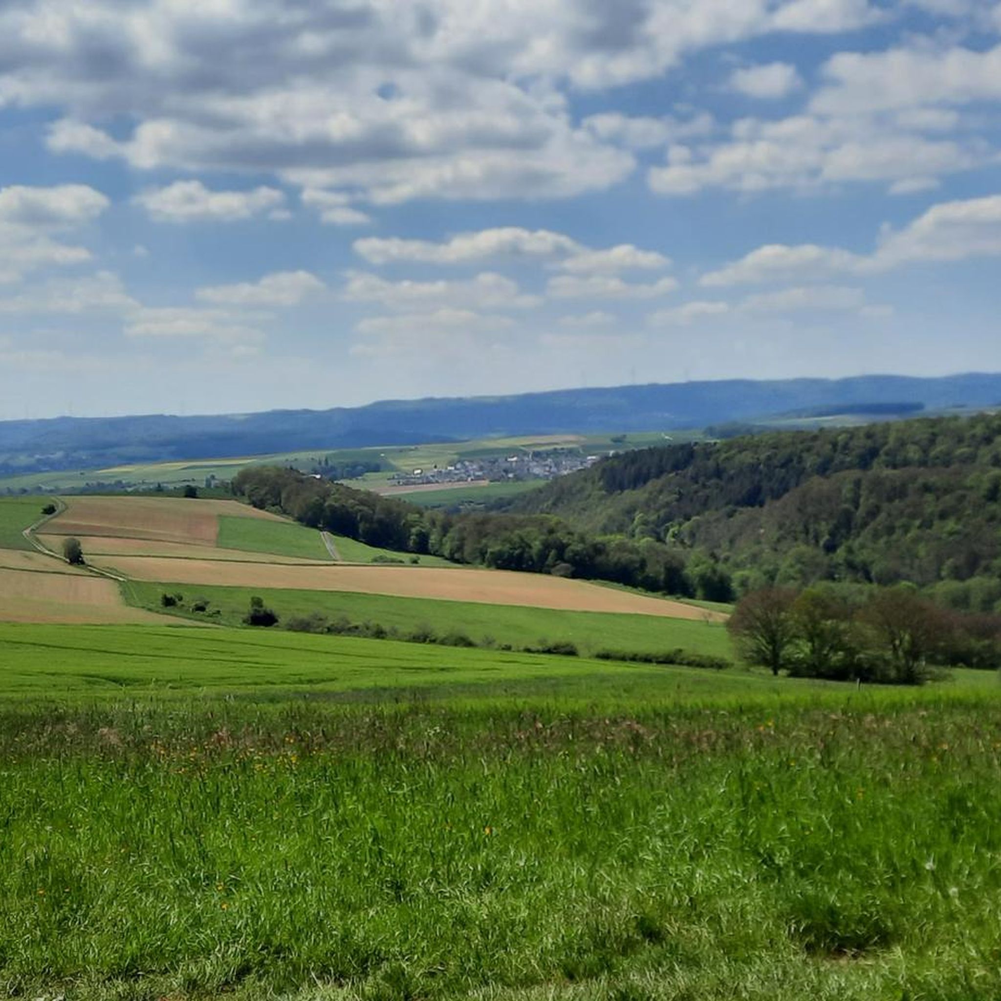
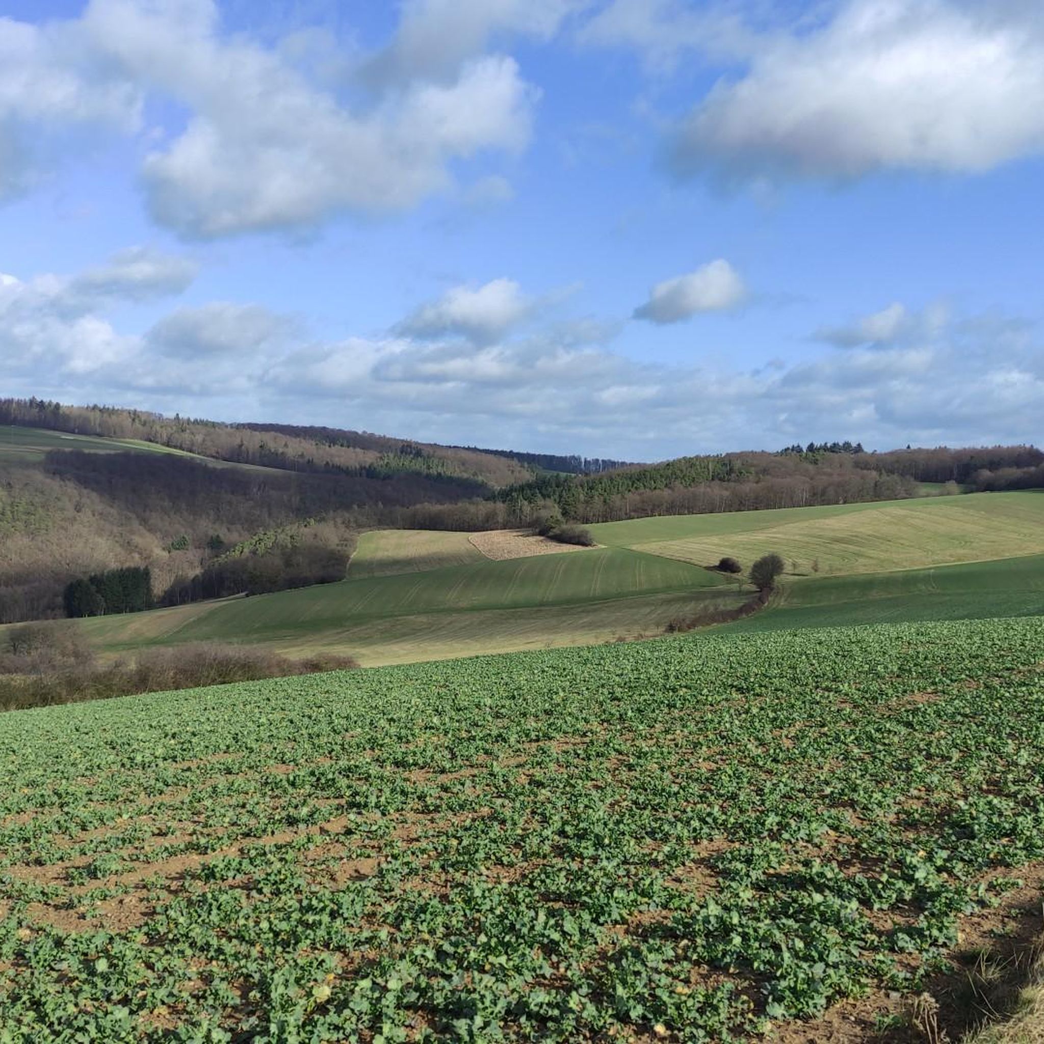
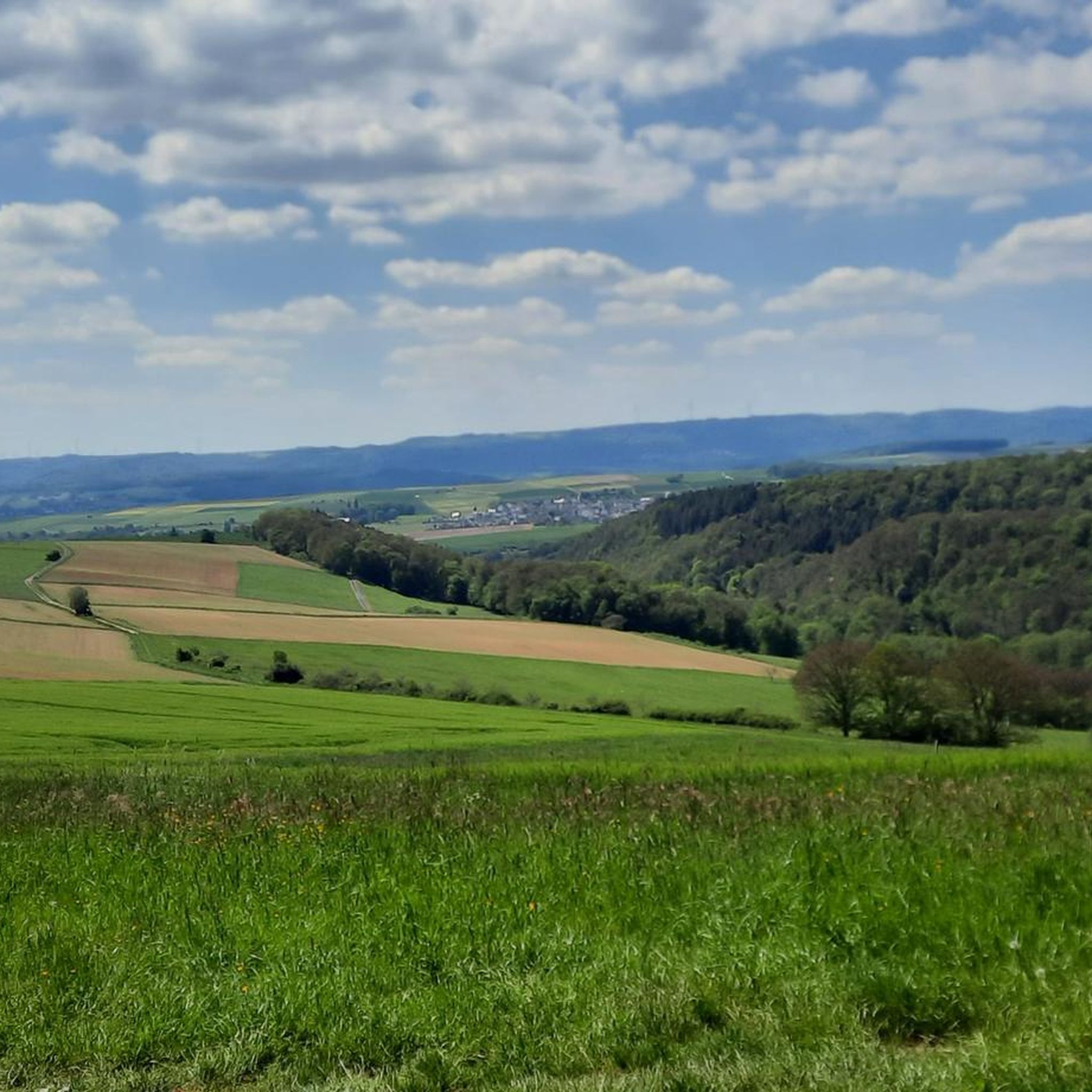
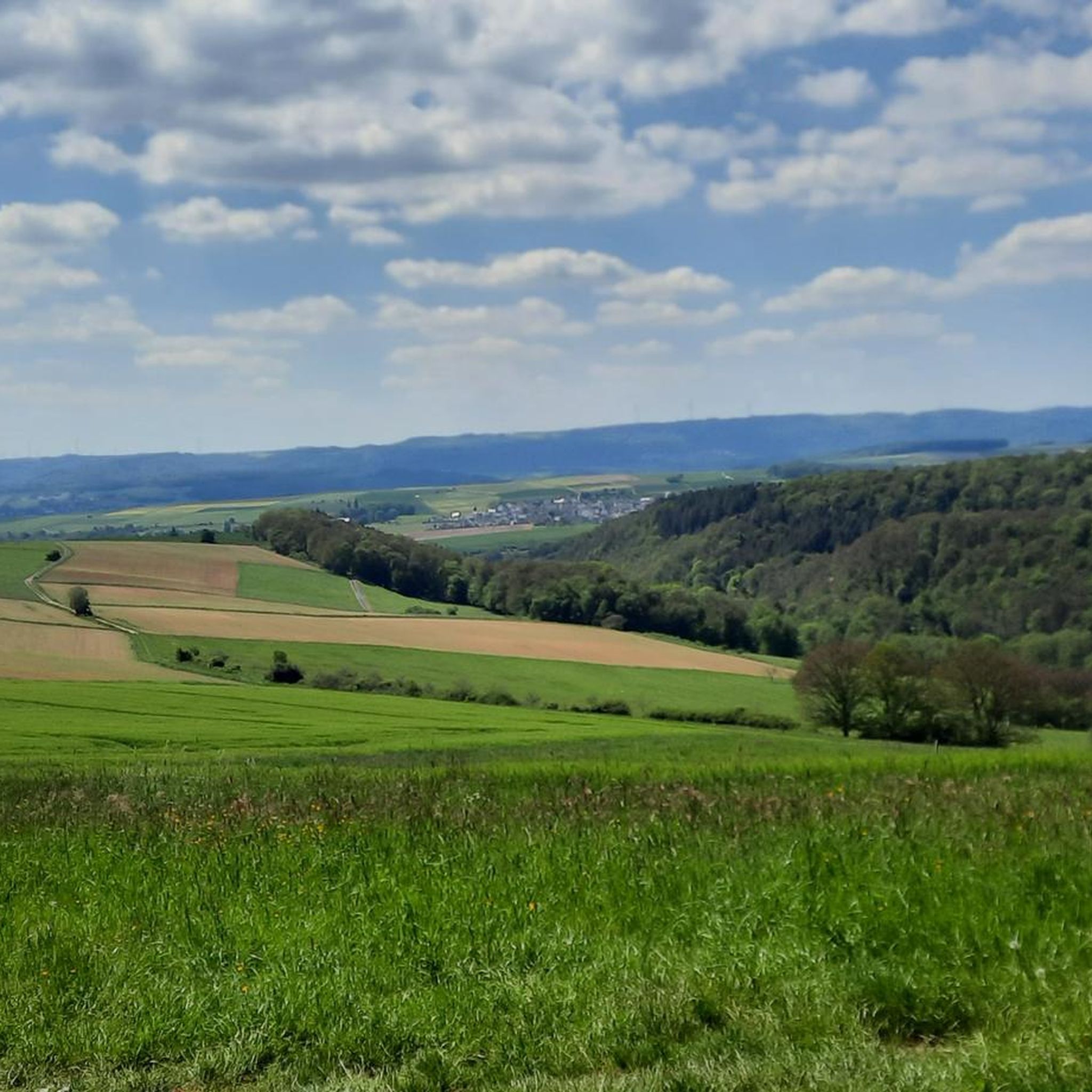
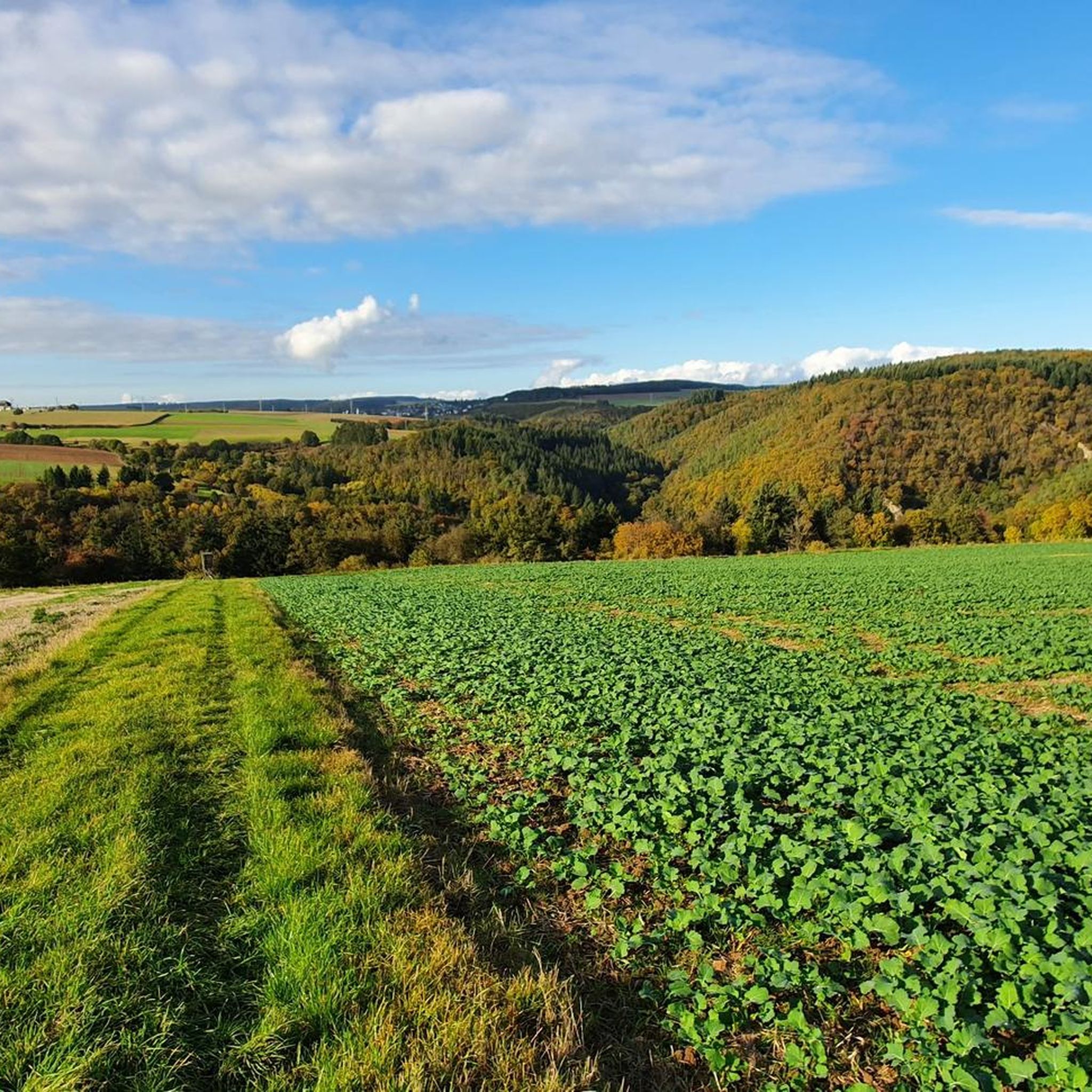
Gravel biking around Lierschied offers routes through the varied terrain of the Rhine-Lahn district. The region is characterized by rolling hills, dense woodlands, and scenic river valleys, providing diverse surfaces for gravel cyclists. Trails often follow forest paths and agricultural tracks, connecting small villages and offering views of the surrounding landscape. The elevation changes are moderate to significant, catering to different fitness levels.
Best gravel bike trails around Lierschied
- The most popular gravel bike trail is Large Donkey Farm Bornich…
Last updated: July 2, 2026
14
riders
134km
09:45
2,330m
2,330m
Hard gravel ride. Very good fitness required. You may need to push your bike for some segments of this route.
4.7
(9)
23
riders
35.0km
02:16
420m
420m
Hard gravel ride. Good fitness required. You may need to push your bike for some segments of this route.

Sign up for free
4.1
(10)
21
riders
Moderate gravel ride. Good fitness required. Mostly paved surfaces. Suitable for all skill levels.
4.5
(2)
16
riders
39.8km
02:24
430m
430m
Moderate gravel ride. Good fitness required. Mostly paved surfaces. Suitable for all skill levels.
3.7
(3)
12
riders
Hard gravel ride. Very good fitness required. Mostly paved surfaces. Suitable for all skill levels.
Get access to more routes and recommendations from other explorers.
Sign up for free
Already have an account?
Our route recommendations are based on thousands of hikes, rides, and runs completed by other people on komoot.
Start today with a free account
Your next adventure awaits.
Login or Signup
Tips from the Community

The Wispersee is a fishing area - especially the eastern part.
1
0

Great location. With seating. Absolutely invites you to relax.
0
0

A nice destination to drive to.
0
0

Nice seating under a beautiful large tree
0
0

The highest elevation in the western Taunus Mountains. The old postal road to Wiesbaden passes through here.
1
0

It's worth going up there - delicious coffee and cake
0
0

cozy corner and beautiful view
0
0

Frequently Asked Questions
How many gravel bike trails are available around Lierschied?
There are over 35 gravel bike routes available around Lierschied, offering a wide range of options for different skill levels and preferences. The region's varied terrain, from rolling hills to dense woodlands, provides diverse surfaces for gravel cyclists.
Are there any family-friendly gravel bike routes near Lierschied?
While many routes in the Lierschied area feature moderate to significant elevation changes, there is at least one easier route available. For a less strenuous option, consider exploring the region's forest paths and agricultural tracks, which often have gentler gradients suitable for families. Always check the route's elevation profile before heading out.
What is the typical difficulty level of gravel bike trails in Lierschied?
Gravel biking around Lierschied offers a mix of challenges. The majority of routes are rated as 'difficult' (26 out of 38), featuring extensive climbs and varied terrain. There are also 11 'moderate' routes and 1 'easy' route, ensuring options for different fitness levels. For example, the View from Marienfels – Sauerborn Spring in Marienfels loop from Niederwallmenach is a moderate 40 km trail.
Are there any circular gravel bike routes in the Lierschied area?
Yes, many of the gravel bike routes around Lierschied are designed as loops, allowing you to start and finish in the same location. An example is the Hauserbachsee – View of Hasenbach Valley loop from Ehr, which is a challenging 35 km circular path traversing varied landscapes.
What kind of views or natural attractions can I expect on Lierschied's gravel trails?
The gravel trails around Lierschied often provide scenic views of the surrounding landscape, characterized by dense forests, rolling hills, and river valleys. You might also encounter impressive natural features like the Pulsbach Gorge or the St. Goar Waterfall. The region is rich in natural beauty, offering diverse sights along your ride.
Are there any historical landmarks or castles accessible from the gravel bike routes?
Yes, the Lierschied area is dotted with historical sites. While riding, you might be able to spot or make a detour to impressive castles such as Pfalzgrafenstein Castle, Rheinfels Castle, or Liebenstein Castle. These offer fascinating glimpses into the region's past.
What do other gravel bikers enjoy most about the Lierschied trails?
The komoot community highly rates the gravel biking experience in Lierschied, with an average score of 4.4 stars from over 30 reviews. Riders often praise the varied terrain, the extensive network of forest paths, and the scenic river valley views. The region's diverse options cater to different ability levels, making it a popular choice for many.
What are the best times of year for gravel biking around Lierschied?
The varied terrain of Lierschied, with its dense woodlands and river valleys, is generally enjoyable for gravel biking from spring through autumn. During these seasons, the weather is typically mild, and the trails are in good condition. While winter riding is possible, be prepared for potentially colder temperatures and wet or icy conditions on some paths.
Where can I find parking for gravel biking in Lierschied?
While specific parking areas are not detailed for every route, most trailheads in and around Lierschied, especially those near villages or popular starting points, offer designated parking facilities. It's advisable to check the starting point of your chosen route on komoot for more precise parking information.
Are there any longer, more challenging gravel bike routes for experienced riders?
Absolutely. For experienced gravel bikers seeking a significant challenge, the Lierschied area offers several demanding routes. The Large Donkey Farm Bornich – Our Thick Oak (Endlichhofen) loop from St. Goarshausen is a prime example, covering 133.1 km with extensive climbs through forested areas, typically taking nearly 12 hours to complete.
Can I find cafes or refreshment stops along the gravel bike trails?
While the trails themselves often traverse natural and forested areas, many routes connect small villages. These villages are your best bet for finding cafes, restaurants, or local shops where you can refuel and refresh during your ride. Planning your route to pass through these settlements can ensure convenient stops.
What are the elevation changes like on Lierschied's gravel bike routes?
The elevation changes around Lierschied are quite diverse, ranging from moderate to significant, reflecting the region's rolling hills and river valleys. For instance, a moderate route like the View from Marienfels – Sauerborn Spring in Marienfels loop from Dachsenhausen involves around 350 meters of ascent, while more difficult routes can feature over 2000 meters of climbing.
Most popular routes around Lierschied
Most popular attractions around Lierschied

Get inspired with the komoot mobile app


Explore more
Browse the best Gravel rides in other regions.
