The best gravel rides around Lykershausen
4.5
(38)
159
riders
26
rides
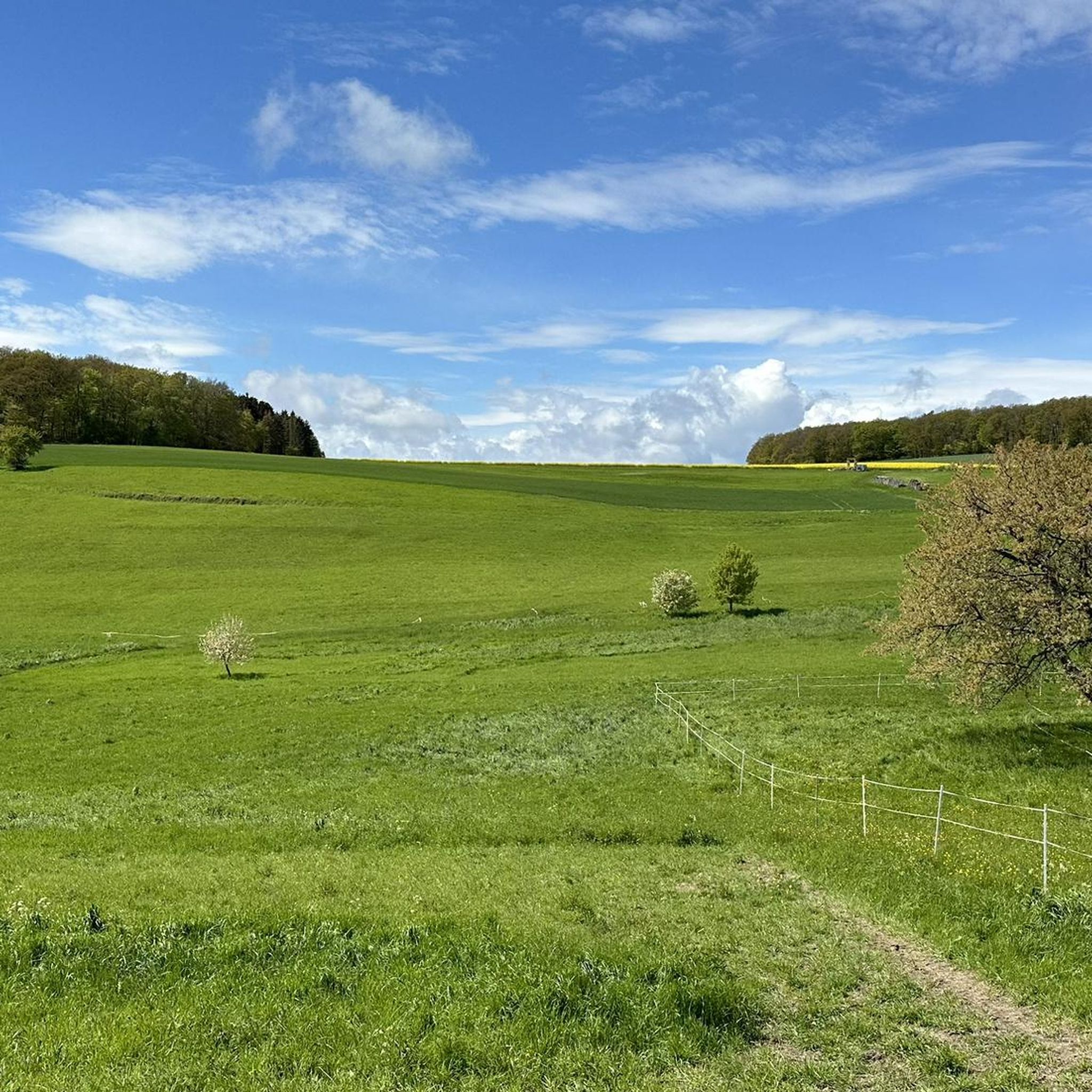
Gravel biking around Lykershausen features a landscape characterized by undulating terrain, river valleys, and a mix of open fields and forested sections. The region includes historical landmarks such as castles and rural areas, providing varied backdrops for rides. Elevation gains are common, with routes traversing hills and offering panoramic views. The trails often follow established paths and rural roads suitable for gravel bikes.
Best gravel bike trails around Lykershausen
- The most popular gravel bike trail is View of Marksburg Castle…
Last updated: May 21, 2026
5.0
(6)
46
riders
44.1km
02:59
640m
640m
Hard gravel ride. Very good fitness required. Mostly paved surfaces. Suitable for all skill levels.
14
riders
134km
09:45
2,330m
2,330m
Hard gravel ride. Very good fitness required. You may need to push your bike for some segments of this route.

Sign up for free
4.8
(5)
17
riders
37.0km
02:30
570m
570m
Hard gravel ride. Very good fitness required. Mostly paved surfaces. Suitable for all skill levels.
3.9
(7)
16
riders
Moderate gravel ride. Good fitness required. Mostly paved surfaces. Suitable for all skill levels.
4.8
(4)
9
riders
31.9km
02:04
530m
530m
Hard gravel ride. Very good fitness required. Mostly paved surfaces. Suitable for all skill levels.
Get access to more routes and recommendations from other explorers.
Sign up for free
Already have an account?
Our route recommendations are based on thousands of hikes, rides, and runs completed by other people on komoot.
Start today with a free account
Your next adventure awaits.
Login or Signup
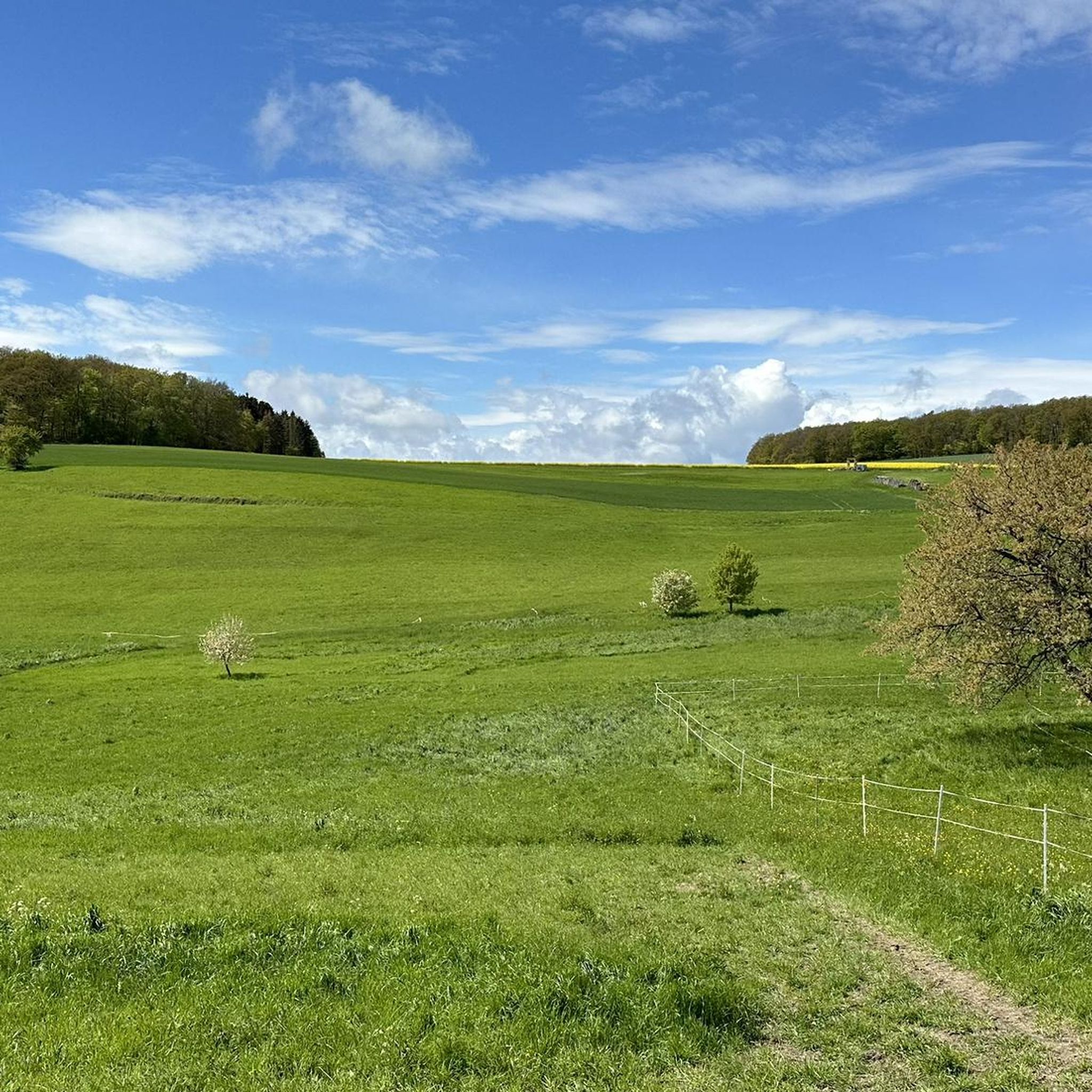
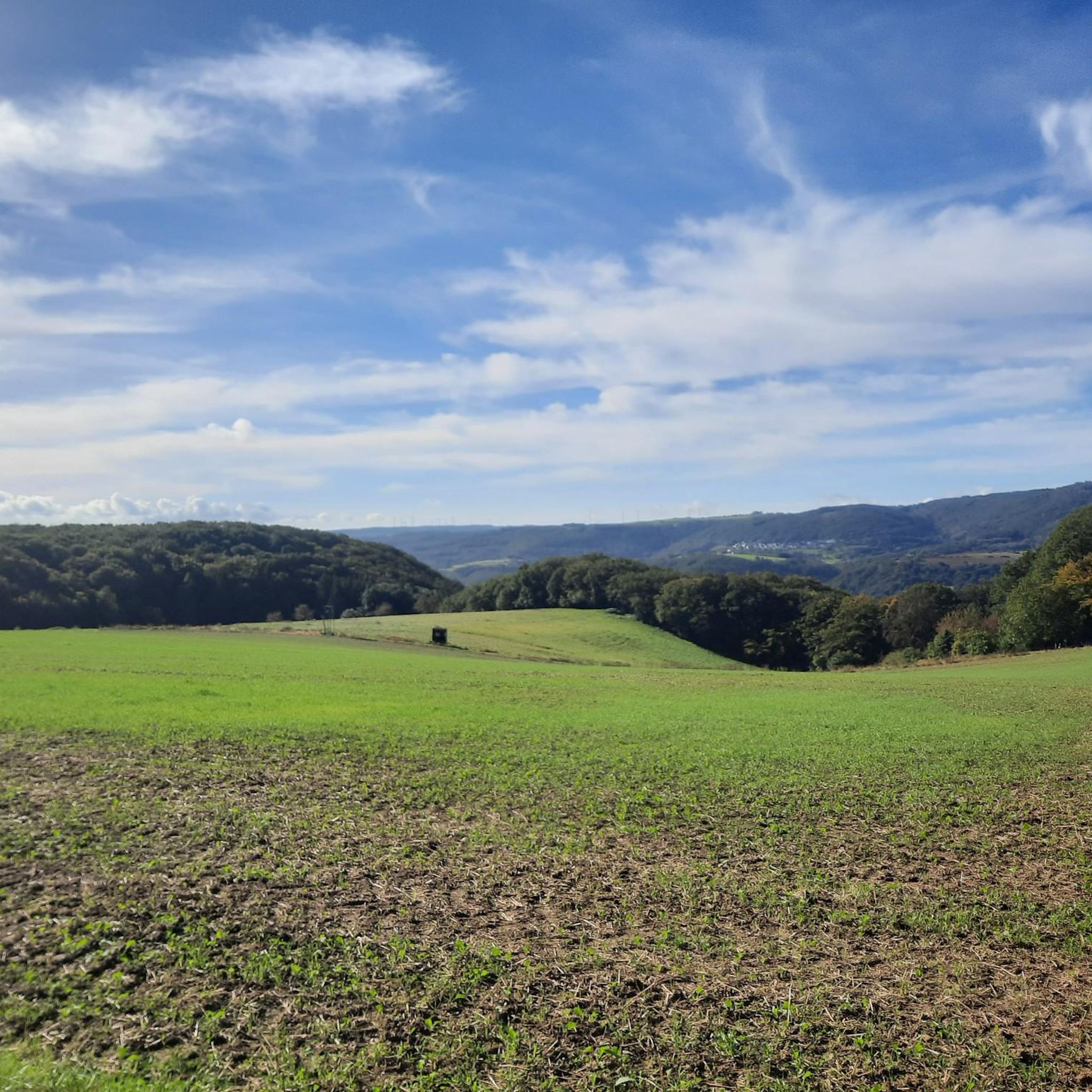
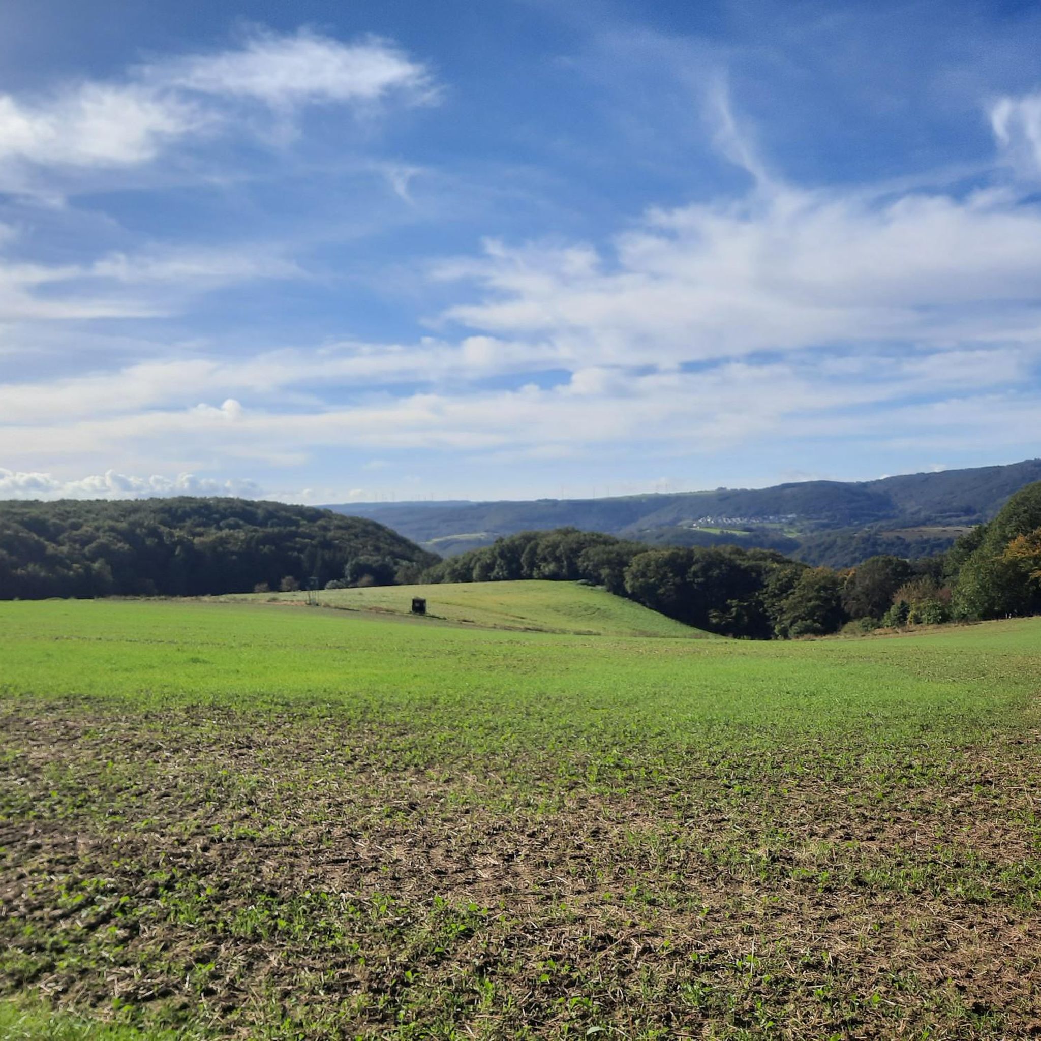
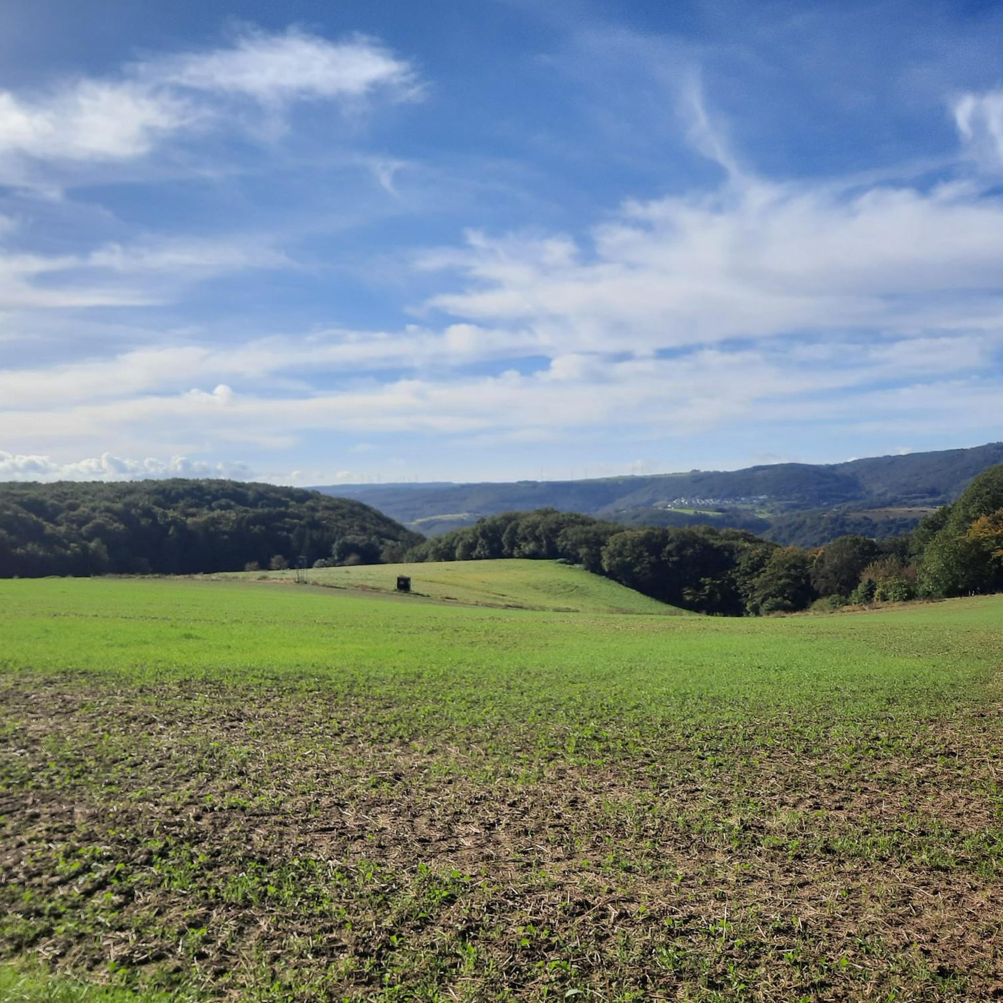
Tips from the Community

The Wispersee is a fishing area - especially the eastern part.
1
0

Great location. With seating. Absolutely invites you to relax.
0
0

Beautiful cycle path
2
0
View of the monastery
2
0

A nice destination to drive to.
0
0

Nice seating under a beautiful large tree
0
0

The highest elevation in the western Taunus Mountains. The old postal road to Wiesbaden passes through here.
1
0

Frequently Asked Questions
How many gravel bike trails are available around Lykershausen?
There are over 35 gravel bike routes in the Lykershausen area, offering a wide range of options for different skill levels, from moderate to difficult.
Are there any gravel bike trails suitable for beginners in Lykershausen?
While many routes feature elevation gains, there are options for those new to gravel biking. The Pfalzfeld Water Tower – Pfalzfeld station loop from Ehr is a moderate 28.3-mile route that provides varied terrain including the Pfalzfeld Water Tower, often completed in about 3 hours 10 minutes.
What are some challenging gravel bike routes for experienced riders near Lykershausen?
Experienced gravel bikers can tackle routes like the Large Donkey Farm Bornich – Our Thick Oak (Endlichhofen) loop from St. Goarshausen, an extensive 82.7-mile path with significant elevation changes, taking approximately 12 hours to complete. Another demanding option is the Pfalzfeld station – The Schinderhannes Cycle Path loop from Ehr, covering nearly 90 miles.
What kind of views can I expect on gravel bike routes in Lykershausen?
The region is known for its undulating terrain, river valleys, and a mix of open fields and forested sections. Many routes offer panoramic views, particularly of historical landmarks. For example, the View of Marksburg Castle – View of Marksburg Castle loop from Boppard Süd provides stunning vistas of Marksburg Castle.
Are there any circular gravel bike routes around Lykershausen?
Yes, many of the gravel bike routes in Lykershausen are designed as loops. For instance, the View of Marksburg Castle – View of Marksburg Castle loop from Boppard Süd is a popular circular trail, as is the Lahn Cycle Path – View of Stolzenfels Castle loop from Braubach.
What historical landmarks or natural attractions can I see along the gravel bike trails?
The Lykershausen area is rich in history and natural beauty. You can encounter impressive castles like Marksburg and Rheinfels Castle. Natural highlights include viewpoints such as the View of the Loreley Rock and the View of the Rhine Bend at Boppard from Gedeonseck.
What do other gravel bikers say about the trails in Lykershausen?
The routes in Lykershausen are highly rated by the komoot community, with an average score of 4.6 stars from over 60 reviews. Reviewers often praise the varied terrain, the historical castle views, and the network of paths through rural and forested areas.
Is public transport accessible for reaching gravel bike trails in Lykershausen?
The region has various towns and villages that may offer public transport connections. While specific routes are not detailed, many trails start near populated areas, suggesting potential access points. It's advisable to check local bus or train schedules for specific starting points.
Are there any cafes or places to stop for refreshments along the gravel bike routes?
Given the rural and historical nature of the region, many routes pass through or near villages and towns where you can find local cafes or restaurants. While not explicitly listed for every trail, planning your route with komoot allows you to identify potential stops for refreshments.
What is the best time of year for gravel biking in Lykershausen?
The region's landscape is enjoyable across multiple seasons. Spring and autumn offer pleasant temperatures and vibrant scenery, ideal for longer rides. Summer is also suitable, though it can be warmer. Winter riding is possible, but trail conditions may vary, especially in forested or higher elevation areas.
Are there any hidden gem gravel trails in the Lykershausen area?
While the guide highlights popular routes, the extensive network of over 35 trails means there are many less-trafficked paths waiting to be discovered. Exploring the diverse terrain through komoot's route planner can help you uncover quieter, scenic options away from the main trails.
Most popular routes around Lykershausen
Most popular attractions around Lykershausen

Get inspired with the komoot mobile app


Explore more
Browse the best Gravel rides in other regions.
