The best gravel rides around Oelsnitz/Erzgebirge
4.4
(41)
221
riders
58
rides
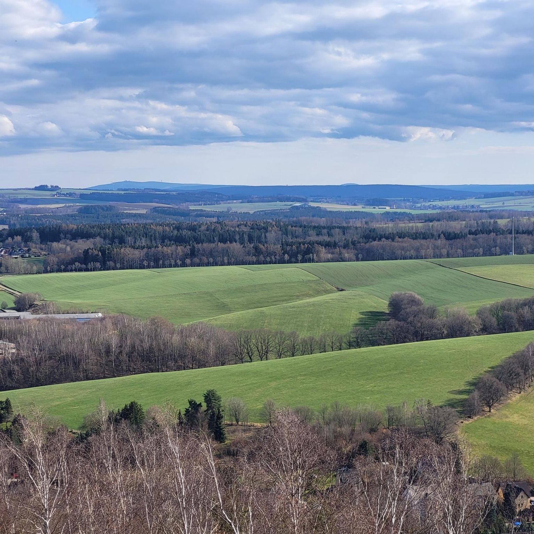
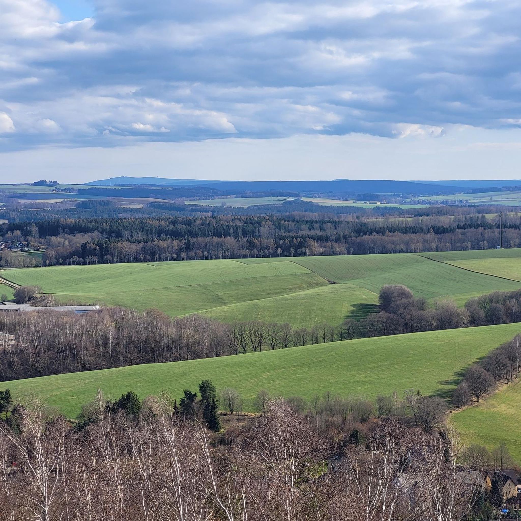
Gravel biking around Oelsnitz/Erzgebirge offers diverse terrain within the Erzgebirge (Ore Mountains) region of Saxony, Germany. This low mountain range features rolling hills, picturesque valleys, and dense forests, providing varied surfaces for gravel cyclists. The landscape is shaped by centuries of mining, forestry, and agriculture, resulting in a mix of natural features and historical landmarks. The area's extensive network of trails includes both challenging ascents and more gentle paths.
Best gravel bike trails around Oelsnitz/Erzgebirge
- The most popular gravel bike…
Last updated: October 6, 2026
4.0
(2)
21
riders
110km
07:08
1,750m
1,750m
Hard gravel ride. Very good fitness required. Mostly paved surfaces. Suitable for all skill levels.
4.5
(2)
14
riders
27.2km
01:44
390m
390m
Moderate gravel ride. Good fitness required. Mostly paved surfaces. Suitable for all skill levels.

4.7
(3)
14
riders
Moderate gravel ride. Good fitness required. Mostly paved surfaces. Suitable for all skill levels.
5.0
(4)
12
riders
58.9km
03:32
650m
650m
Hard gravel ride. Very good fitness required. You may need to push your bike for some segments of this route.
5.0
(1)
12
riders
20.6km
01:13
200m
200m
Moderate gravel ride. Good fitness required. Mostly paved surfaces. Suitable for all skill levels.
Get access to more routes and recommendations from other explorers.
Already have an account?
Our route recommendations are based on thousands of hikes, rides, and runs completed by other people on komoot.
Start today with a free account
Your next adventure awaits.
Other adventures around Oelsnitz/Erzgebirge

Tips from the Community

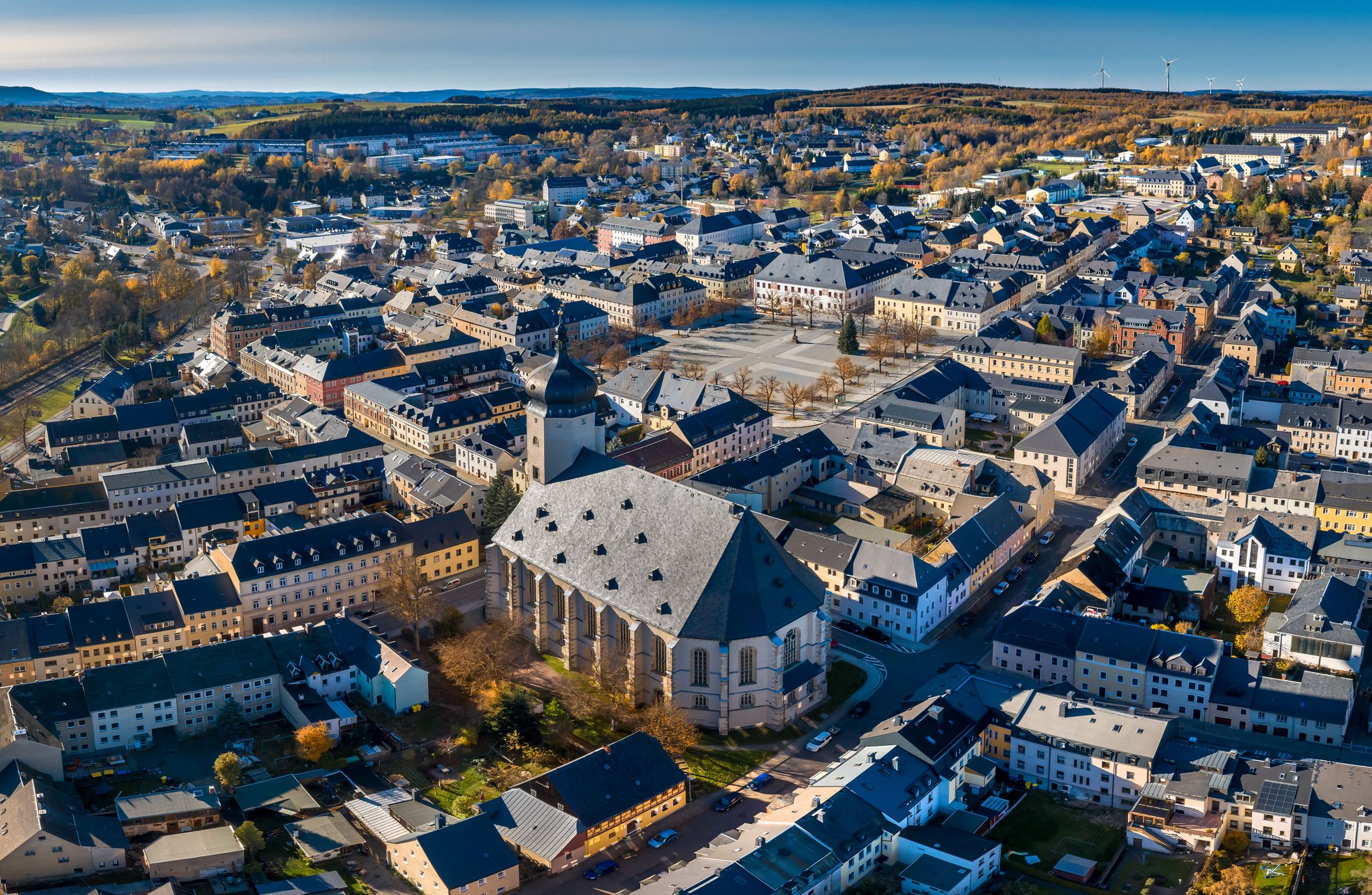
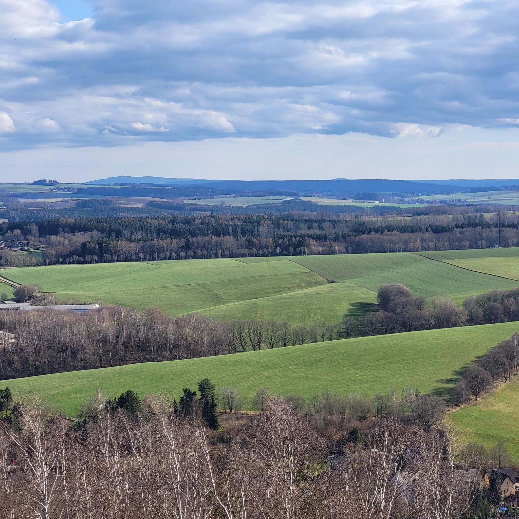
Zwäntzer „Lieblingsplatzl“ in new attire since November 2024. "It's a magnificent view over our hometown from the old railway track across the valley towards the tower of the Holy Trinity Church and on to Ziegenberg, when it's not raining. A place to pause and be grateful that we can live so idyllically. Here you can enjoy the vastness and feel a sense of belonging." In May 2024, two wave benches were purchased for this beautiful "Platzl" and a photo frame was added later. https://zwoenitzer-anzeiger.de/2024/11/12/zwaentzer-lieblingsplatzl-in-neuem-gewand/
1
0
The Richterbusch reservoir is a small but clean body of water, north of Zwönitz. The small lake has a size of 1.5 hectares and is lined with trees. The triangular reservoir has a small island on the north side. The bank in the north is overgrown with overhanging trees. The south bank has a nice open fishing spot with parking. https://www.fisch-hitparade.de/gewaesser/stau-richterbusch/
1
0

The Iron Trail is a high-altitude trail in the Ore Mountains, whose historical route follows the northern edge of the Ore Mountains. According to local history, it was used as early as the Middle Ages for transporting iron ore from the Schneeberg area. The route, still marked today, runs from Katzenstein near Affalter and through the Streitwald forest to Tabakstanne, continuing through the Bürgerwald forest, past the Schwarzes Kreuz memorial, to Harthauer Berg, located south of Chemnitz on Federal Highway 95. Today, the Iron Trail is a popular route for hikers and cyclists, connecting the area south of Chemnitz with the hiking trails of the central Ore Mountains. Source: Wikipedia https://de.wikipedia.org/wiki/Eisenweg_(Erzgebirge)
0
0

With every step, closer to the summit – the Fichtelberg climb on the Stoneman Miriquidi Road. From the intersection, it's not far anymore, and motivation gets a final boost.
1
0

Not Forbach! It's the Forzbachl spring. Even if it sounds rude.
4
0

The large peace bell on the Fichtelberg had to remain silent for six months in 2024. Stone throwing in May 2022 had so badly damaged the bell that its sound suffered. It was decided to stop ringing it and replace it with a new one. The old bell rang for the last time on Easter Monday 2024. Just in time for the mountain service on German Unity Day on October 3, the new bell was officially rung for the first time in the fall of 2024. The idea of using a peace bell to commemorate the peaceful revolution of 1989 in the GDR and German reunification in 1990 came from watchman Gerd Schlesinger and night watchman Jörg Eller from the Ore Mountains town of Schwarzenberg. The bell was also intended to be heard in neighboring Czechia and thus ring for a united Europe. The cast steel bell, already ninety years old at the time, was rung for the first time in 2010. The new bell was cast in Innsbruck by the Grassmayr company. At 2,700 kilograms, it is about 1,100 kilograms heavier than the old bell.
17
1
The first weather observer on this summit was the innkeeper of the Fichtelberghaus. He recorded his weather observations from 1890 onwards, but from 1898 onwards only intermittently, and from 1910 onwards not at all. The head of the Royal Saxon State Meteorological Observatory, Paul Schreiber, suggested the construction of a permanent weather observatory. Temperature, wind speed, and precipitation amounts have been continuously recorded here since January 1, 1916. The strongest storm recorded here was on January 3, 1976, with a peak gust speed of 216 kilometers per hour. The coldest day on the summit was February 9, 1956, with minus 30.4 degrees Celsius; the warmest was July 27, 1983, with plus 30.8 degrees Celsius. The highest snow cover was measured in March 1944: 3.35 meters. The year 1951 was bad for Fichtelberg tourists: it held the record for foggy days with 315.
13
1

A very idyllic fishing water above Zwönitz.
0
0
Frequently Asked Questions
How many gravel bike trails are there in Oelsnitz/Erzgebirge?
Oelsnitz/Erzgebirge offers a wide selection of gravel biking routes, with over 100 trails available. These routes cater to various skill levels, ranging from easy to difficult, ensuring there's something for every gravel biker.
What kind of terrain can I expect on gravel bike trails around Oelsnitz/Erzgebirge?
The terrain around Oelsnitz/Erzgebirge is diverse, characterized by rolling hills, picturesque valleys, and dense forests within the Erzgebirge (Ore Mountains). You'll encounter a mix of paved and unpaved surfaces, including gravel paths, shaped by centuries of mining, forestry, and agriculture. This provides both challenging ascents and scenic, smoother sections.
Are there any family-friendly gravel biking routes in the area?
While specific 'family-friendly' routes are not explicitly highlighted in the data, the region offers a range of easy and moderate trails that could be suitable for families. The extensive network of paths through forests and along rivers provides many opportunities for less strenuous rides. For example, the Ursprung Station – Klaffenbach Water Castle loop from Oelsnitz Bahnhofstraße is a moderate route that explores the local landscape.
Can I bring my dog on the gravel bike trails?
Generally, the natural trails and forest paths in the Erzgebirge region are dog-friendly, but it's always advisable to keep your dog on a leash, especially in forested areas, near wildlife, or on shared paths. Always respect local signage regarding dogs.
What are some notable landmarks or viewpoints I can see while gravel biking?
The region is rich in natural features and historical landmarks. You can explore the Stollberg Reservoir, which is featured on routes like the Stollberg Reservoir – Würschnitztal Cycle Path loop from Niederwürschnitz. Other points of interest include the Karl May cave with rest area and the Princes' Cave. The Glückaufturm and Erzgebirgsbalkon also offer expansive views of the area.
Are there any long-distance gravel biking options near Oelsnitz/Erzgebirge?
Yes, for those seeking longer adventures, the broader Erzgebirge region offers significant long-distance routes. The ambitious 140 km 'Gravel Cracker – King Stage' tour leads over the Fichtelberg, and the 'BLOCKLINE' is another 140-kilometer route with substantial elevation gain. A challenging option from our selection is the Fichtelberghaus – Fichtelberg Ascent loop from Ortmannsdorf, which covers over 110 km.
What is the best time of year for gravel biking in Oelsnitz/Erzgebirge?
The best time for gravel biking in Oelsnitz/Erzgebirge is typically from spring through autumn. During these seasons, the weather is generally milder, and the trails are in optimal condition. While winter biking is possible, be prepared for snow and ice, especially at higher elevations, which can make some routes more challenging or impassable.
Are there circular gravel bike routes available?
Yes, many of the gravel bike routes in Oelsnitz/Erzgebirge are designed as circular loops, allowing you to start and end at the same point. Examples include the Ursprung Station – Klaffenbach Water Castle loop from Oelsnitz Bahnhofstraße and the Old Brickyard Recreation Area – Klaffenbach Water Castle loop from Stollberg Schlachthofstraße.
Where can I find parking for gravel bike trails in Oelsnitz/Erzgebirge?
Many trailheads and starting points for gravel bike routes in and around Oelsnitz/Erzgebirge offer parking facilities. For instance, routes often start near town centers or specific landmarks where parking is available. It's recommended to check the specific route details on komoot for parking suggestions near your chosen starting point.
Is public transport an option for reaching trailheads with my bike?
Public transport options, such as regional trains and buses, often allow bikes, especially in a region popular for outdoor activities like the Erzgebirge. However, policies can vary, so it's always best to check with the local public transport providers for their specific rules and any potential restrictions regarding bike carriage before planning your trip.
What do other gravel bikers say about the trails in Oelsnitz/Erzgebirge?
The gravel biking trails in Oelsnitz/Erzgebirge are highly rated by the komoot community, with an average score of 4.3 stars from over 65 reviews. Reviewers often praise the varied terrain, the scenic beauty of the Erzgebirge, and the well-maintained paths that offer a mix of challenging climbs and enjoyable rides through forests and valleys.
Are there places to eat or rest along the gravel bike routes?
Yes, the region offers several spots for rest and refreshment. You can find huts and restaurants like Forsthaus Rothenbach or the Forester's Lodge "Zur Prinzenhöhle". There are also dedicated rest areas, such as the rest area with a view on the Lugau–Mittelbach cycle path, perfect for a break during your ride.
What are the difficulty levels of the gravel bike trails?
The gravel bike trails around Oelsnitz/Erzgebirge offer a range of difficulty levels. You'll find easy routes suitable for beginners, moderate trails that provide a good workout, and difficult options for experienced riders seeking more challenging ascents and technical sections. For example, the Klaffenbach Water Castle – Stollberg Reservoir loop from Stollberg Schlachthofstraße is considered a difficult route.
Most popular routes around Oelsnitz/Erzgebirge
Most popular attractions around Oelsnitz/Erzgebirge

Get inspired with the komoot mobile app


Explore more
Browse the best Gravel rides in other regions.
