The best gravel rides around Sinntal
4.7
(10)
140
riders
56
rides
Gravel biking around Sinntal offers diverse terrain at the northern edge of the Spessart and the western foothills of the Rhön low mountain ranges. The region features elevations ranging from 220 to 585 meters above sea level, creating a landscape of rolling hills and dense forests. The Sinn river valley provides winding paths through green landscapes, while numerous gravel and asphalt forestry roads form the backbone of many routes. This topography supports both challenging climbs and less strenuous rides.
Best…
Last updated: August 26, 2026
5.0
(1)
9
riders
50.2km
03:20
860m
860m
Hard gravel ride. Very good fitness required. You may need to push your bike for some segments of this route.
13
riders
68.7km
04:21
1,170m
1,170m
Hard gravel ride. Very good fitness required. Mostly paved surfaces. Suitable for all skill levels.

Sign up for free
5.0
(1)
7
riders
65.0km
04:16
1,060m
1,060m
Hard gravel ride. Very good fitness required. You may need to push your bike for some segments of this route.
9
riders
43.6km
02:31
460m
460m
Hard gravel ride. Very good fitness required. Mostly paved surfaces. Suitable for all skill levels.
4
riders
Hard gravel ride. Very good fitness required. Mostly paved surfaces. Suitable for all skill levels.
Get access to more routes and recommendations from other explorers.
Sign up for free
Already have an account?
Our route recommendations are based on thousands of hikes, rides, and runs completed by other people on komoot.
Start today with a free account
Your next adventure awaits.
Login or Signup
Popular around Sinntal
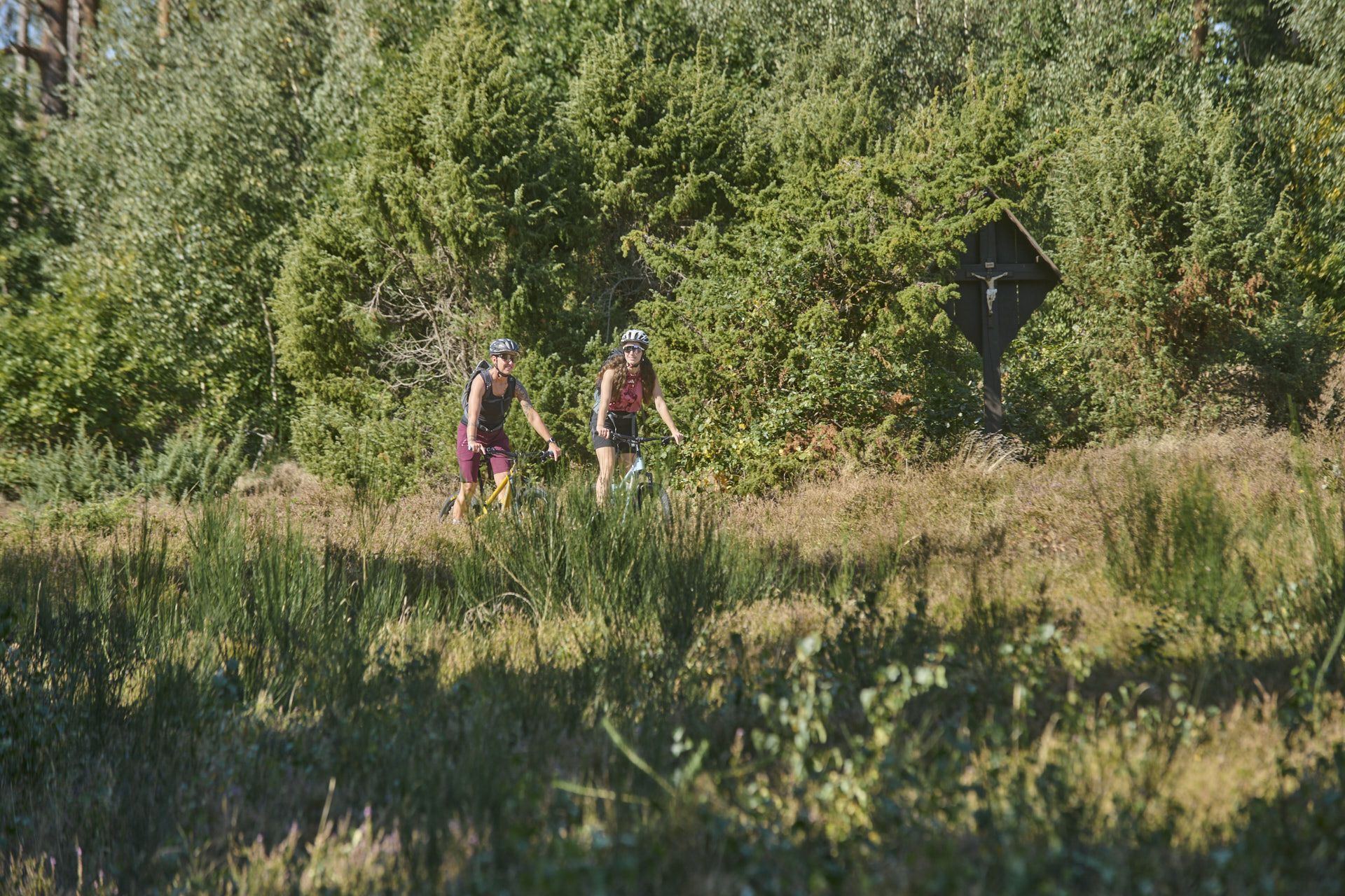
Nature, trails and local cuisine – MTB in the Spessart
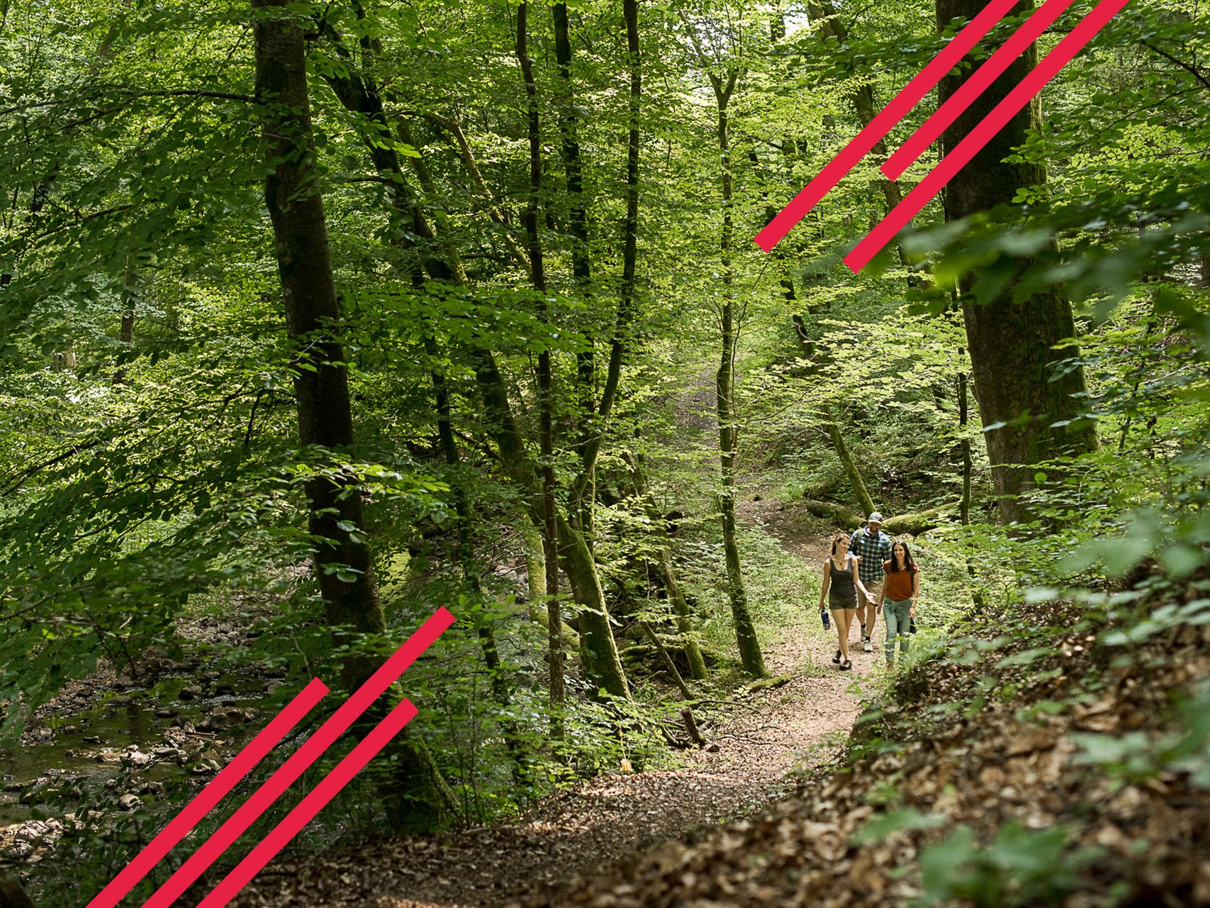
Relaxed hiking in the Spessart – short trails of discovery
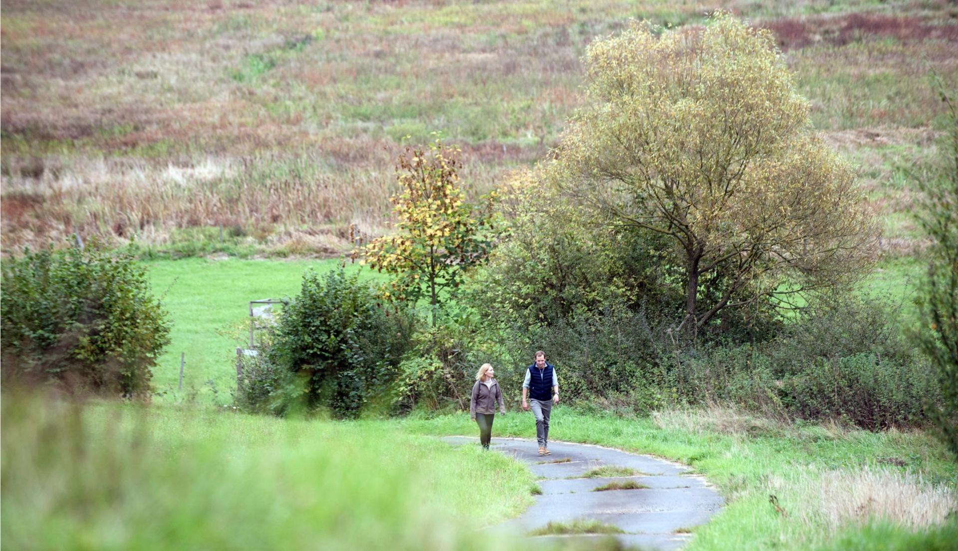
Pleasure hiking in the Spessart: trails that taste as good as they look
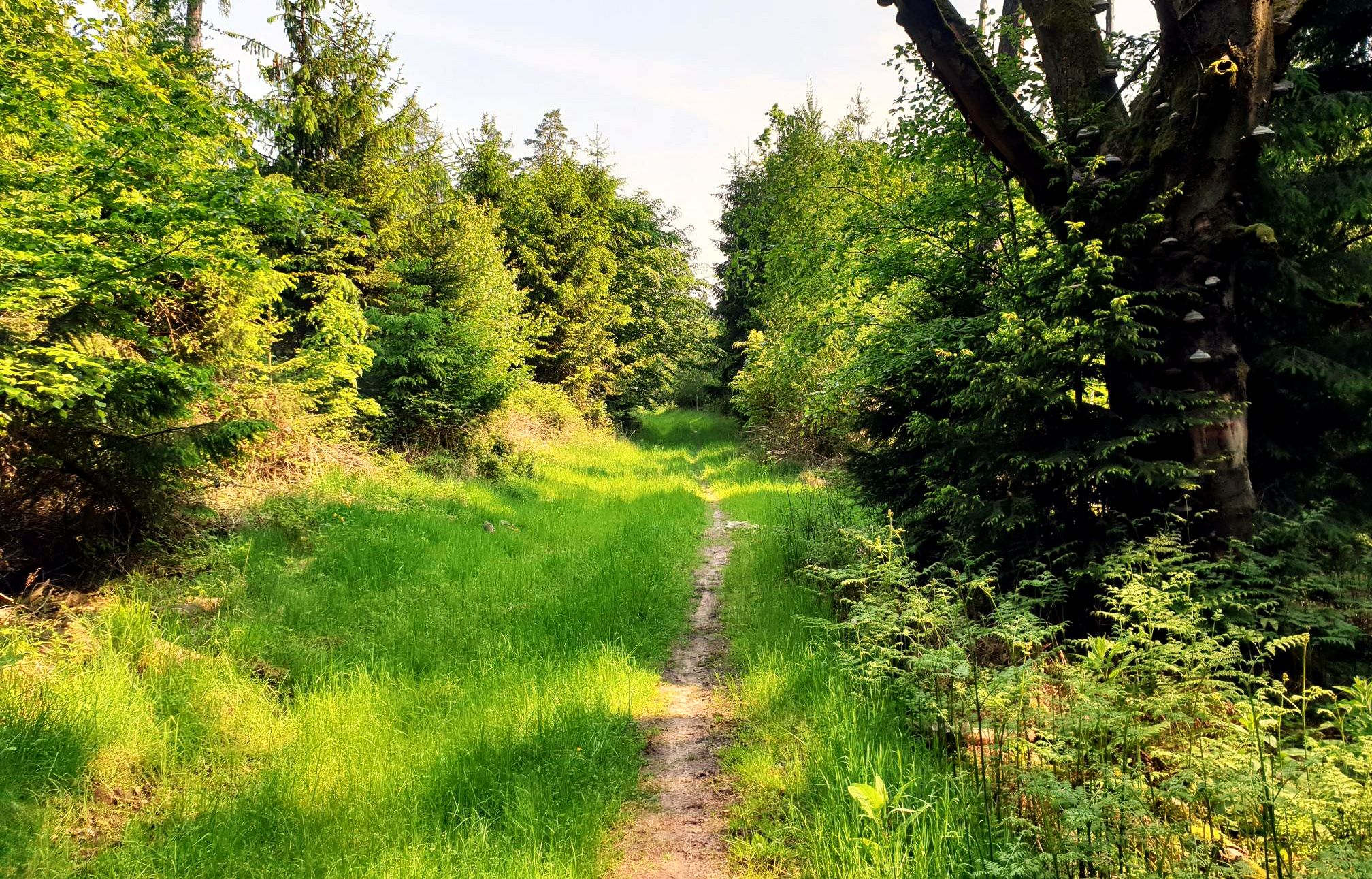
Mountain biking in the Spessart – Awesome trails in Germany
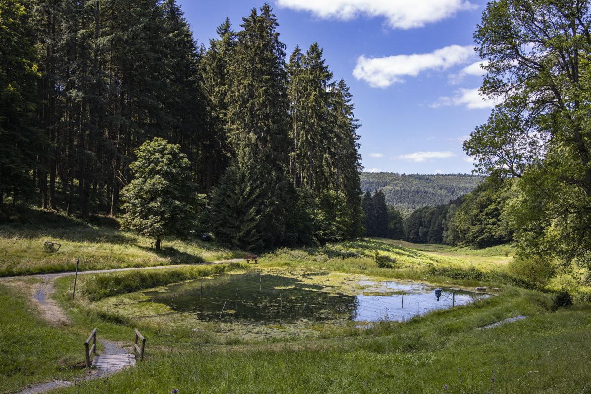
Europäische Kulturwege im Nordspessart
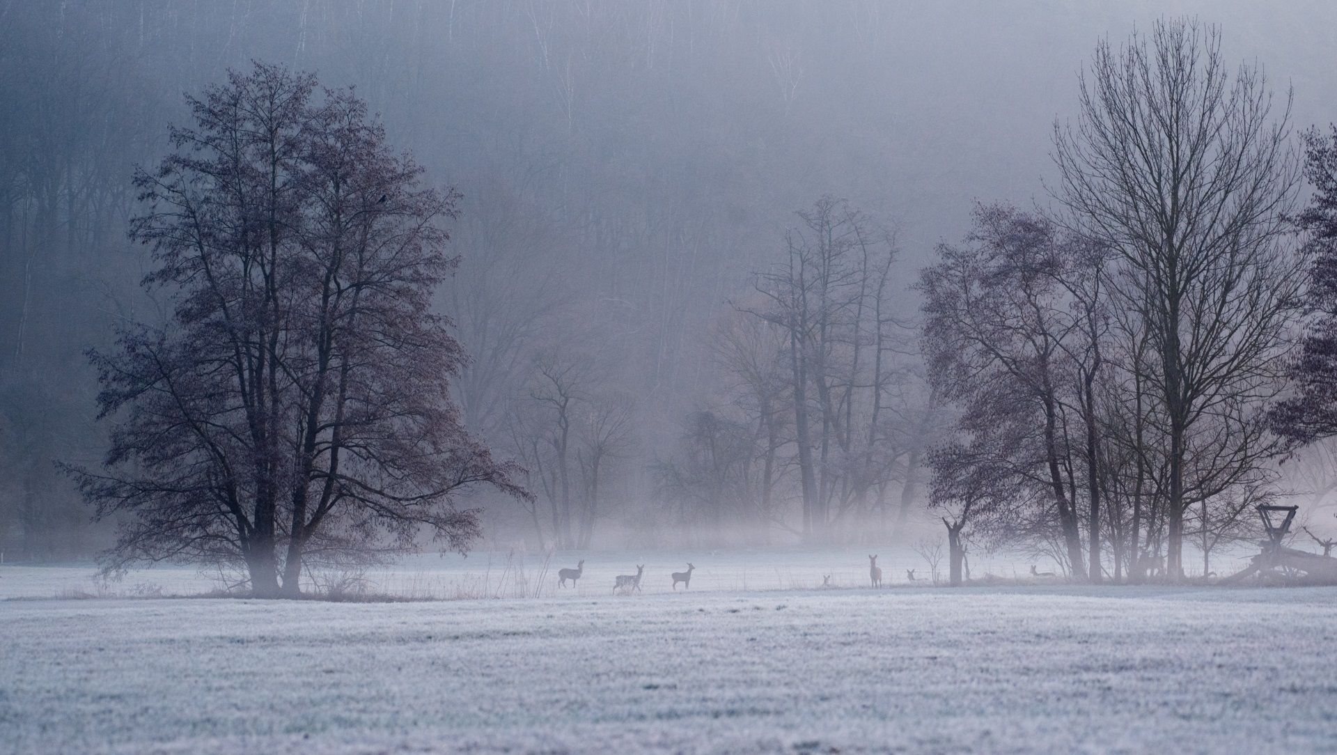
Die schönsten Winterwanderungen im Spessart
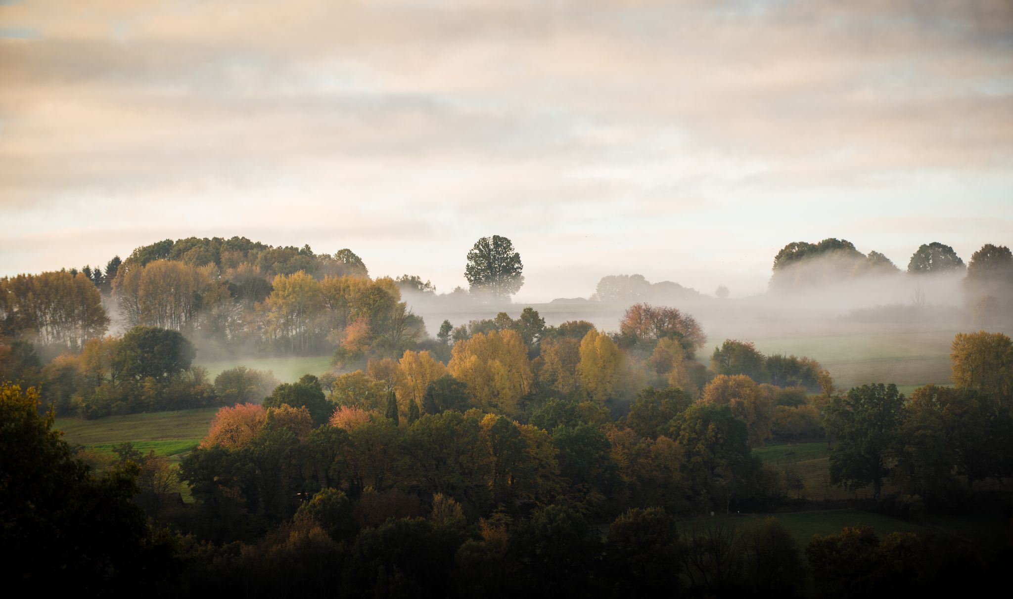
Die schönsten Herbstwanderungen im Spessart
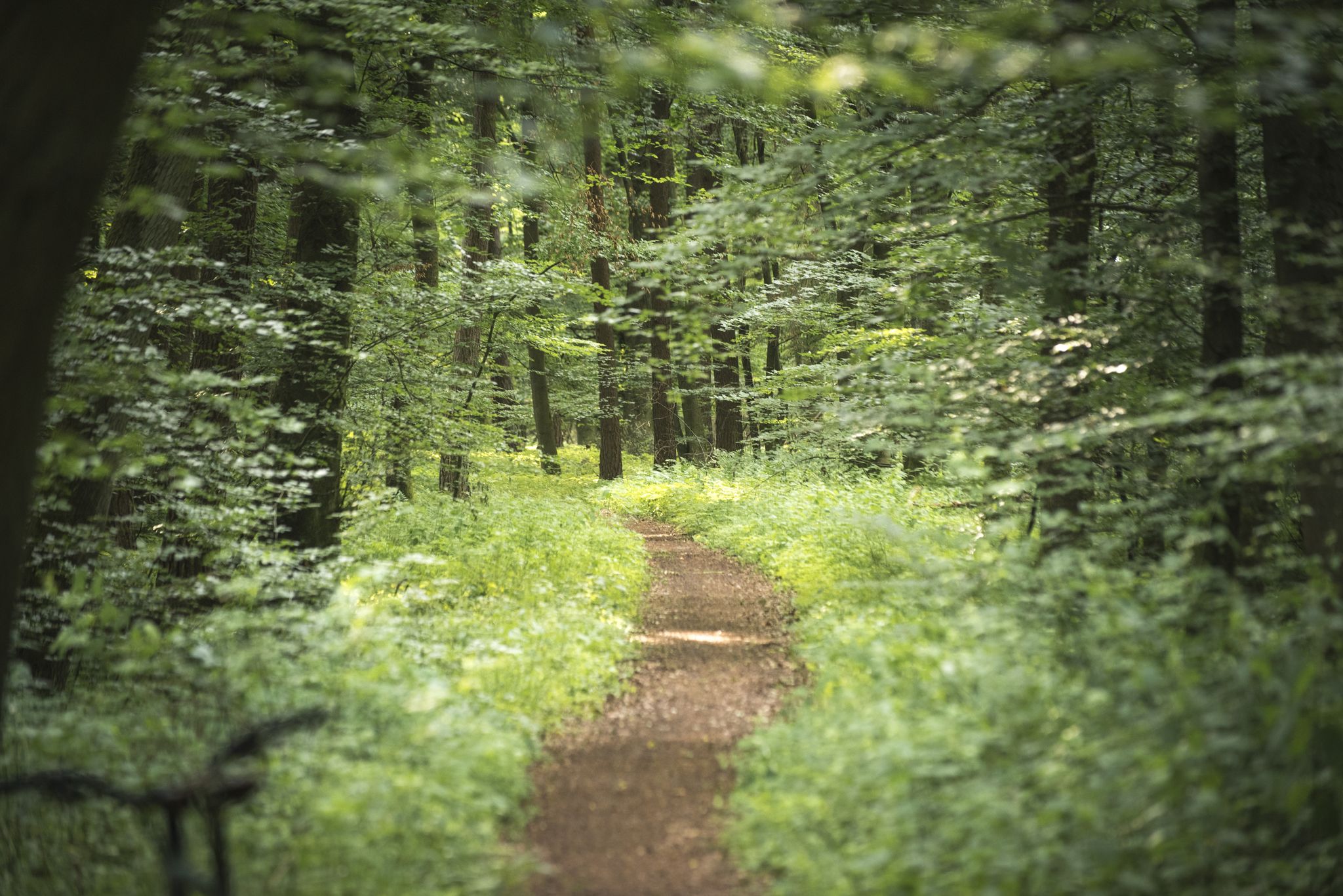
Die schönsten Premium-Spazierwanderwege im Hessischen Spessart
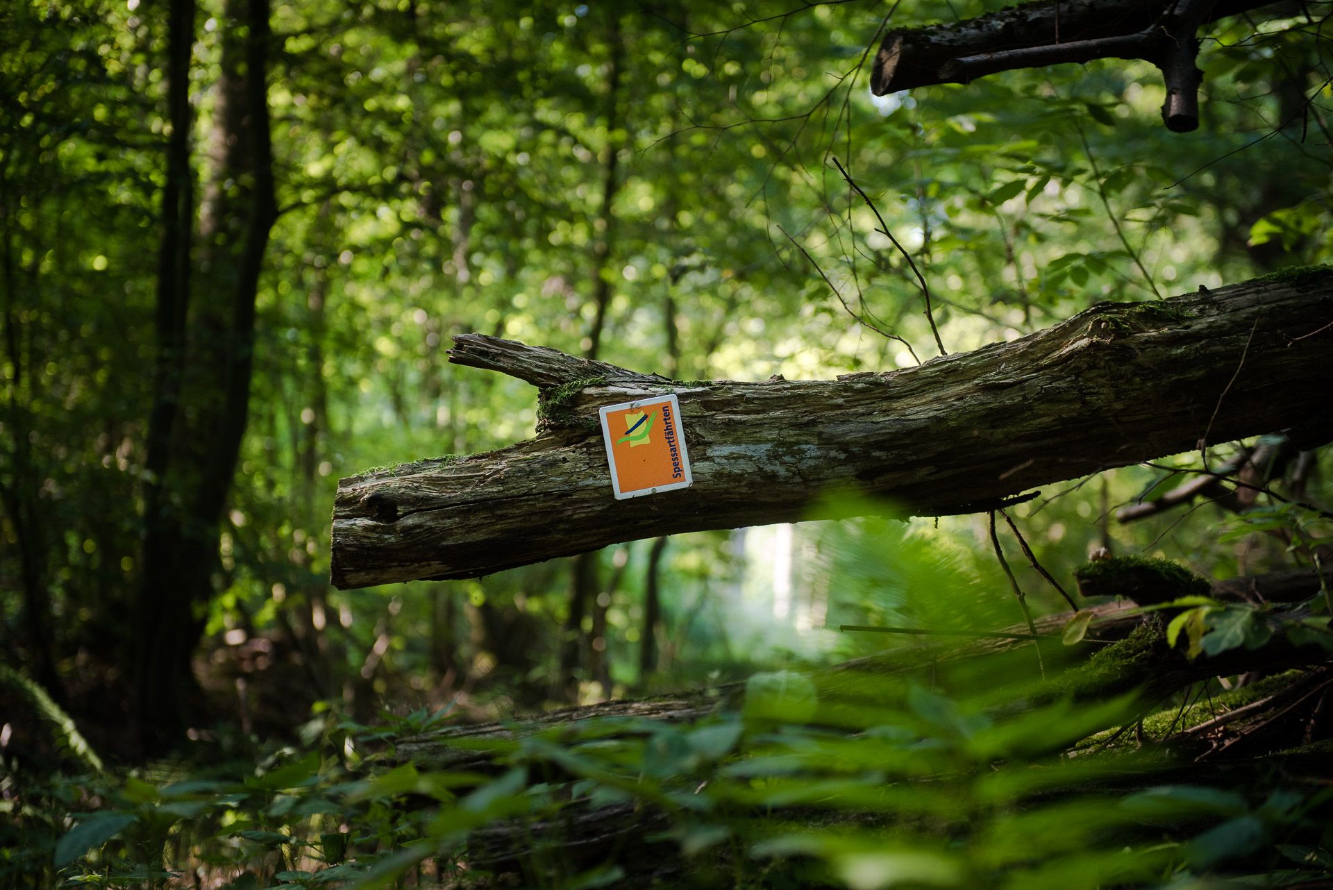
Die Spessartfährten: Sanfte Tageswanderungen durch den hessischen Spessart
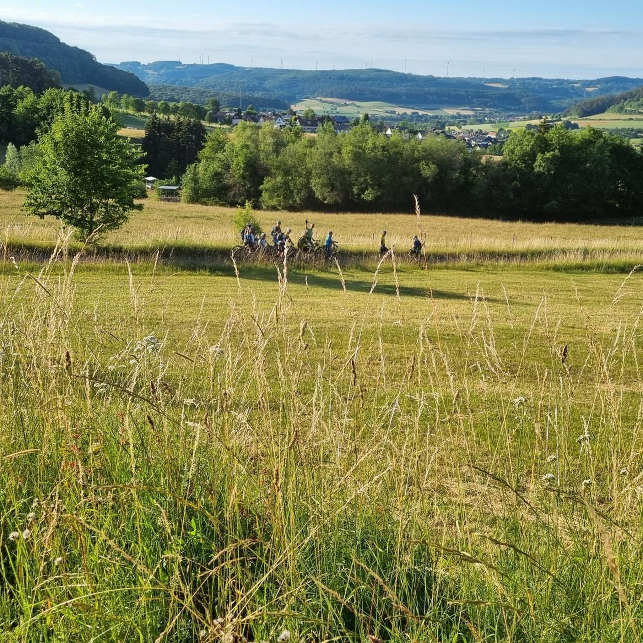
Hiking around Sinntal
Other adventures around Sinntal

Tips from the Community

From Kreuzberg to Bad Brückenau, you practically don't have to pedal for 26.9 km by bike. But even then, it's always downhill to Jossa on the way and further to Gemünden. The Rhönexpress Way leads through wonderful meadows and protected landscape. Worth seeing.
0
0

Wonderful cycle path with a perfect surface
0
0

When it's dry, it's no problem to cycle the path.
1
0
There is a good cycle path here. I personally prefer the southern cycle path along the reservoir.
3
0

The Kinzig is a river approximately 86 kilometers long. It rises in Sterbfritz, flows southwest through the Main-Kinzig district of Hesse, and flows into the Main from the right in Hanau. The Kinzig is a second-order river in low mountain ranges. It overcomes an elevation of 301 meters and has a bed gradient of 3.5 per thousand. The Kinzig's catchment area covers 1,058 square kilometers, and the calculated mean discharge (MQ) at the mouth of the Kinzig is 10.97 cubic meters per second. The Kinzig was first documented in 796 as "iuxta fluvium Kincihen." In 815, the name was written as "Chinzicha," around 900 as "Kincicha"/"Kinzicham," in 1364 as "Kinzige," in 1584 as "Kintzig," in 1607 as "Bintz," in 1681 as "Kintz," in 1716 as "Kins," in 1769 as "Kinzing," and in 1802 as "Kinzig." In the river's headwaters, there was the now-defunct village of Kinzig, mentioned in 815 as "Chirizichheimero." The village and river were often confused by monastery scribes at that time with "Chizzicha" (now Bad Kissingen), both of which were described as being located in the Saalegau. The name presumably derives from the ancient Celtic *ku̯anti̯o- meaning "flat hill, valley." The name was therefore derived from the mountainous region from which the Kinzig flows. Source: Wikipedia
2
0
The Kinzig is a river approximately 86 kilometers long. It rises in Sterbfritz, flows southwest through the Main-Kinzig district of Hesse, and flows into the Main from the right in Hanau. The Kinzig is a second-order river in low mountain ranges. It overcomes an elevation of 301 meters and has a bed gradient of 3.5 per thousand. The Kinzig's catchment area covers 1,058 square kilometers, and the calculated mean discharge (MQ) at the mouth of the Kinzig is 10.97 cubic meters per second. The Kinzig was first documented in 796 as "iuxta fluvium Kincihen." In 815, the name was written as "Chinzicha," around 900 as "Kincicha"/"Kinzicham," in 1364 as "Kinzige," in 1584 as "Kintzig," in 1607 as "Bintz," in 1681 as "Kintz," in 1716 as "Kins," in 1769 as "Kinzing," and in 1802 as "Kinzig." In the river's headwaters, there was the now-defunct village of Kinzig, mentioned in 815 as "Chirizichheimero." The village and river were often confused by monastery scribes at that time with "Chizzicha" (now Bad Kissingen), both of which were described as being located in the Saalegau. The name presumably derives from the ancient Celtic *ku̯anti̯o- meaning "flat hill, valley." The name was therefore derived from the mountainous region from which the Kinzig flows. Source: Wikipedia
1
0
The Kinzig is a river approximately 86 kilometers long. It rises in Sterbfritz, flows southwest through the Main-Kinzig district of Hesse, and flows into the Main from the right in Hanau. The Kinzig is a second-order river in low mountain ranges. It overcomes an elevation of 301 meters and has a bed gradient of 3.5 per thousand. The Kinzig's catchment area covers 1,058 square kilometers, and the calculated mean discharge (MQ) at the mouth of the Kinzig is 10.97 cubic meters per second. The Kinzig was first documented in 796 as "iuxta fluvium Kincihen." In 815, the name was written as "Chinzicha," around 900 as "Kincicha"/"Kinzicham," in 1364 as "Kinzige," in 1584 as "Kintzig," in 1607 as "Bintz," in 1681 as "Kintz," in 1716 as "Kins," in 1769 as "Kinzing," and in 1802 as "Kinzig." In the river's headwaters, there was the now-defunct village of Kinzig, mentioned in 815 as "Chirizichheimero." The village and river were often confused by monastery scribes at that time with "Chizzicha" (now Bad Kissingen), both of which were described as being located in the Saalegau. The name presumably derives from the ancient Celtic *ku̯anti̯o- meaning "flat hill, valley." The name was therefore derived from the mountainous region from which the Kinzig flows. Source: Wikipedia
1
0

Really beautiful at the mouth, rather boring at the wide part
0
0
Frequently Asked Questions
How many gravel bike trails are available in Sinntal?
Sinntal offers a wide variety of gravel biking opportunities, with over 80 routes available for exploration. These trails traverse diverse terrain, from rolling hills and dense forests to the scenic Sinn river valley.
What are the typical difficulty levels for gravel biking in Sinntal?
The gravel bike trails in Sinntal cater to various skill levels, though many are considered challenging. You'll find 14 moderate routes and 68 difficult routes. The region's topography, with elevations ranging from 220 to 585 meters, provides both demanding climbs and enjoyable descents. For a less strenuous option, the Rhönexpress Rail Cycle Path – Rhönexpress Rail Trail loop from Volkers incorporates sections of the Rhönexpress Rail Trail, known for its gentle gradient.
Are there any family-friendly gravel bike routes in Sinntal?
Yes, the region offers options suitable for families. The Rhönexpress Rail Trail, which is part of routes like the Boniface Oak – Rhönexpress Cycle Path loop from Seifferts bei Oberkalbach, features a gentle maximum gradient of 3%. This makes it an excellent choice for a more relaxed cycling experience, allowing families to enjoy the scenic paths through green landscapes.
What kind of natural features and landmarks can I expect to see on the gravel trails?
Sinntal's gravel trails offer a rich tapestry of natural beauty and points of interest. You can explore the winding paths along the Sinn River valley, dense forests, and rolling hills. Notable landmarks and natural features include the Wilder Tisch Rock Formation and various viewpoints like the View of the Kinzig Reservoir. Some routes also pass by historic sites such as Burg Brandenstein.
Are there circular gravel routes available in Sinntal?
Yes, many of Sinntal's gravel routes are designed as loops, allowing you to start and end at the same point. Examples include the challenging View of the Schmale Sinn – Sinn River loop from Oberzell, which explores the Sinn River valley, and the moderate View of Schwarzenfels Castle – Sinn Bridge Altengronau loop from Staatsbad Brückenau.
What is the best time of year for gravel biking in Sinntal?
While gravel biking is enjoyable in Sinntal across many seasons, spring and autumn often offer the most pleasant conditions with milder temperatures and vibrant scenery. The region's diverse topography and extensive forestry roads are accessible for much of the year, but it's always advisable to check local weather conditions before heading out.
Is parking available near the gravel bike trails in Sinntal?
Yes, parking is generally available in and around the various starting points for gravel bike trails in Sinntal. Many routes begin near villages or designated trailheads, where you can typically find suitable parking facilities. Specific parking information can often be found on individual route descriptions.
Can I reach the gravel trails using public transport?
Public transport options to access the gravel trails in Sinntal may vary. While some larger towns in the region might have train or bus connections, direct access to all trailheads via public transport might be limited. It's recommended to check local bus and train schedules for the specific starting point of your chosen route.
What do other gravel bikers enjoy most about Sinntal?
The komoot community highly rates gravel biking in Sinntal, with an average score of 4.9 stars from over 70 reviews. Riders frequently praise the region's diverse topography, the well-maintained gravel and asphalt forestry roads, and the scenic beauty of the Sinn river valley. The variety of routes, from challenging climbs to more relaxed paths like the Rhönexpress Rail Trail, is also a highlight.
Are there any specific regulations or permits needed for gravel biking in Sinntal?
Generally, no specific permits are required for gravel biking on public roads and designated trails in the Sinntal region. However, it's always good practice to respect local signage, private property, and any specific rules that might apply within nature parks like the Spessart and Rhön, which border the area.
Are there cafes or pubs along the gravel routes for refreshments?
While specific cafes or pubs directly on every trail might be limited, many gravel routes in Sinntal pass through or near charming villages where you can find opportunities for refreshments. Planning your route with potential stops in mind, especially in towns like Altengronau or Obersinn, will ensure you have places to refuel.
Most popular attractions around Sinntal

Get inspired with the komoot mobile app


Explore more
Browse the best Gravel rides in other regions.
