The best gravel rides around Schlüchtern
4.4
(16)
202
riders
78
rides
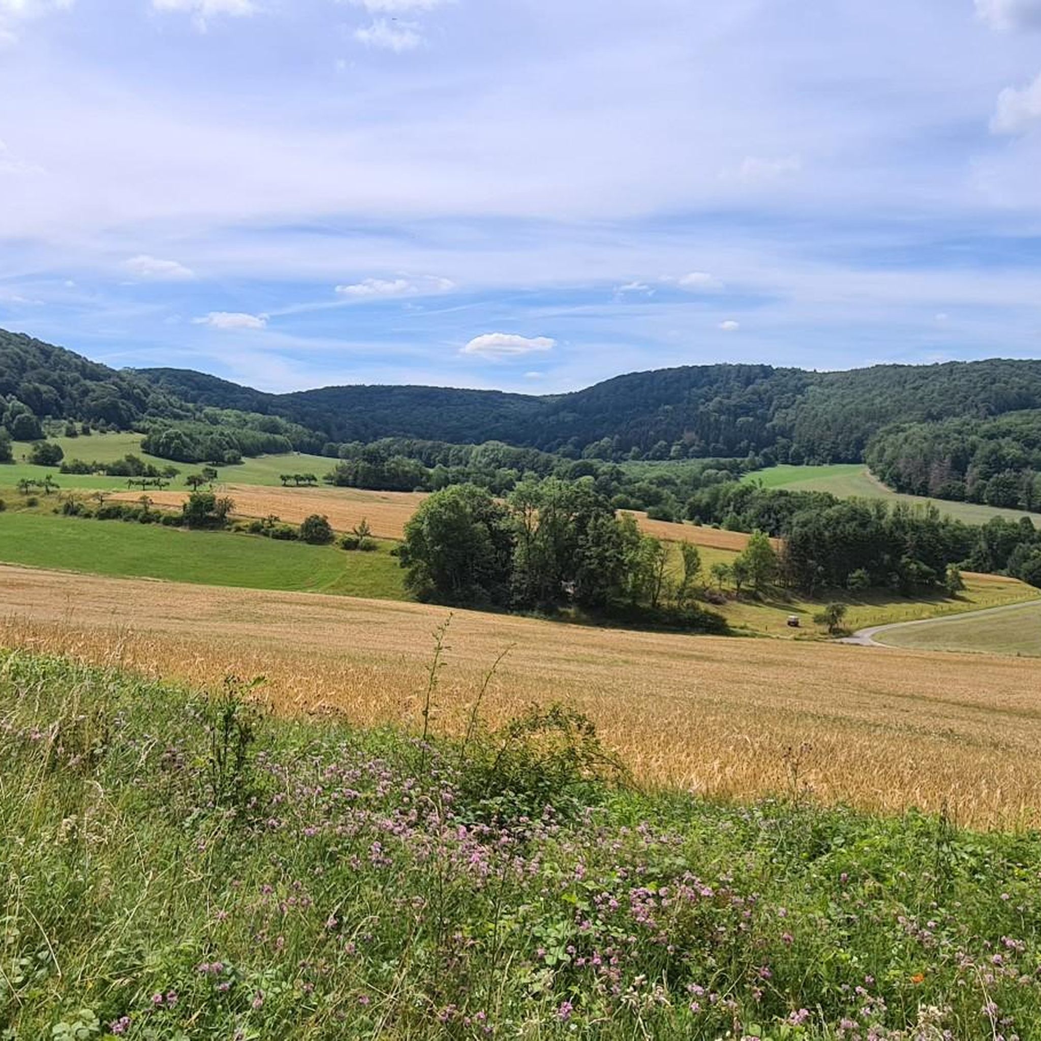
Gravel biking around Schlüchtern offers diverse terrain across the Spessart, Rhön, and Vogelsberg regions. This area features extensive forests, rolling hills, and scenic river valleys, providing a network of trails suitable for gravel bikes. The landscape is characterized by well-developed infrastructure and a mix of unpaved surfaces, including forest roads and former railway lines. Riders can expect varied elevations and natural features throughout the region.
Best gravel bike trails around Schlüchtern
- The most popular gravel bike trail is Willings Pond…
Last updated: October 6, 2026
5.0
(1)
10
riders
49.7km
03:16
840m
840m
Hard gravel ride. Very good fitness required. Mostly paved surfaces. Suitable for all skill levels.
13
riders
68.7km
04:21
1,170m
1,170m
Hard gravel ride. Very good fitness required. Mostly paved surfaces. Suitable for all skill levels.

4.5
(2)
9
riders
65.1km
04:16
1,070m
1,060m
Hard gravel ride. Very good fitness required. You may need to push your bike for some segments of this route.
10
riders
Hard gravel ride. Very good fitness required. Mostly paved surfaces. Suitable for all skill levels.
4
riders
Hard gravel ride. Very good fitness required. Mostly paved surfaces. Suitable for all skill levels.
Get access to more routes and recommendations from other explorers.
Already have an account?
Our route recommendations are based on thousands of hikes, rides, and runs completed by other people on komoot.
Start today with a free account
Your next adventure awaits.
Popular around Schlüchtern
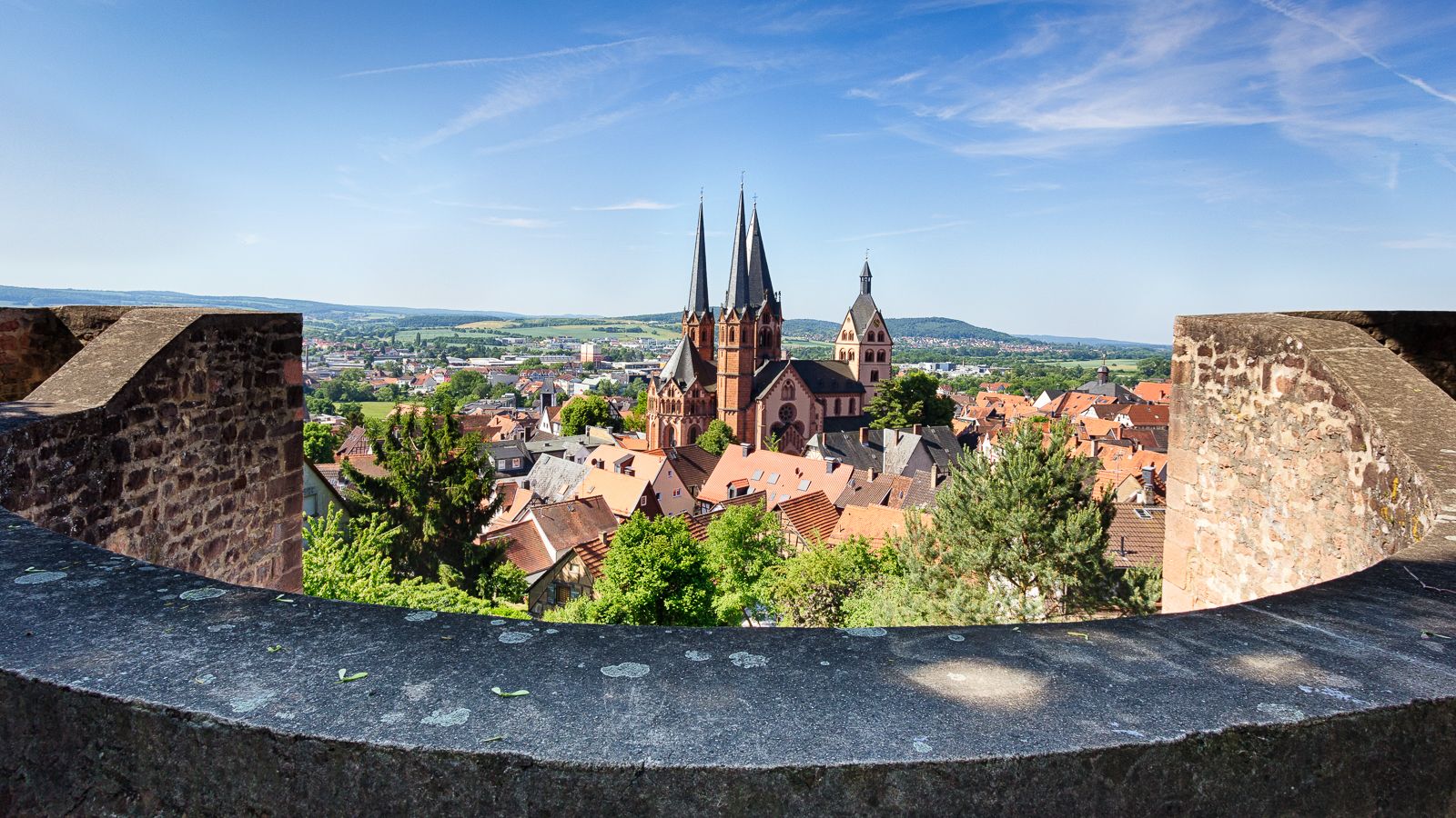
On the Way of St. James through Hesse – from the Fulda to the Main
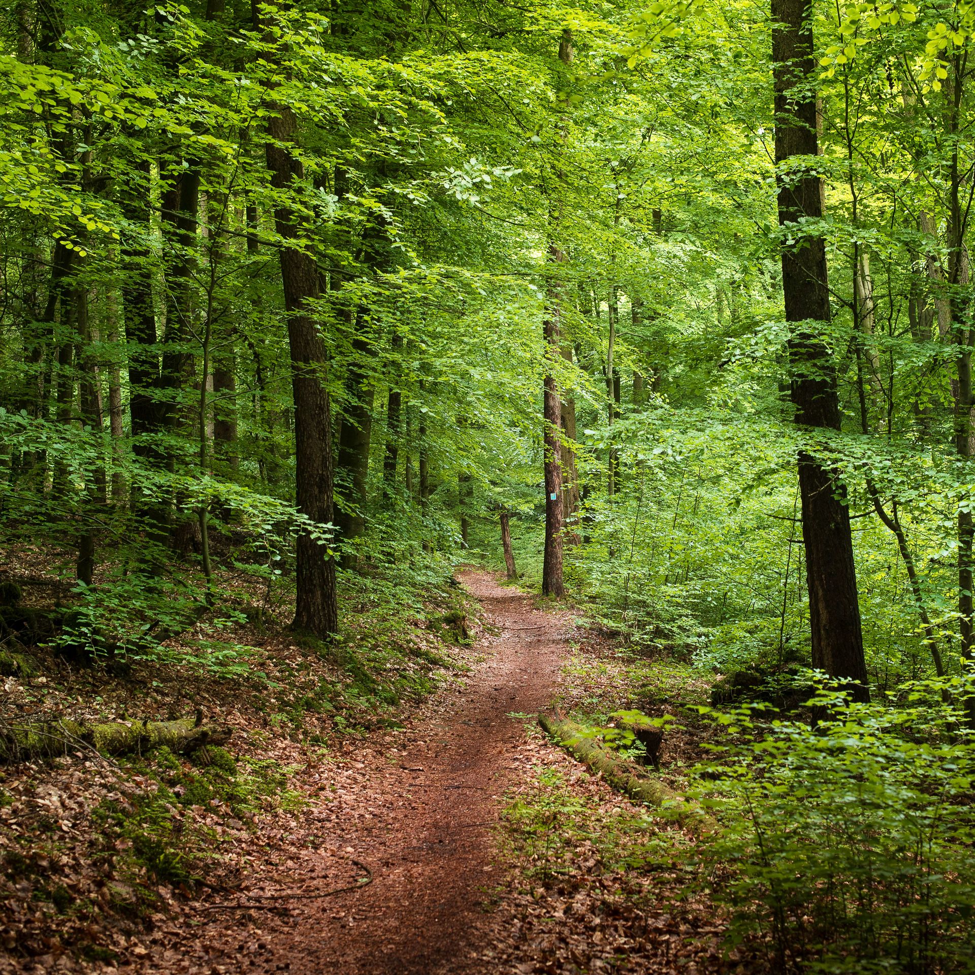
Endless forests, flowing trails – MTB in Germany’s Spessart region
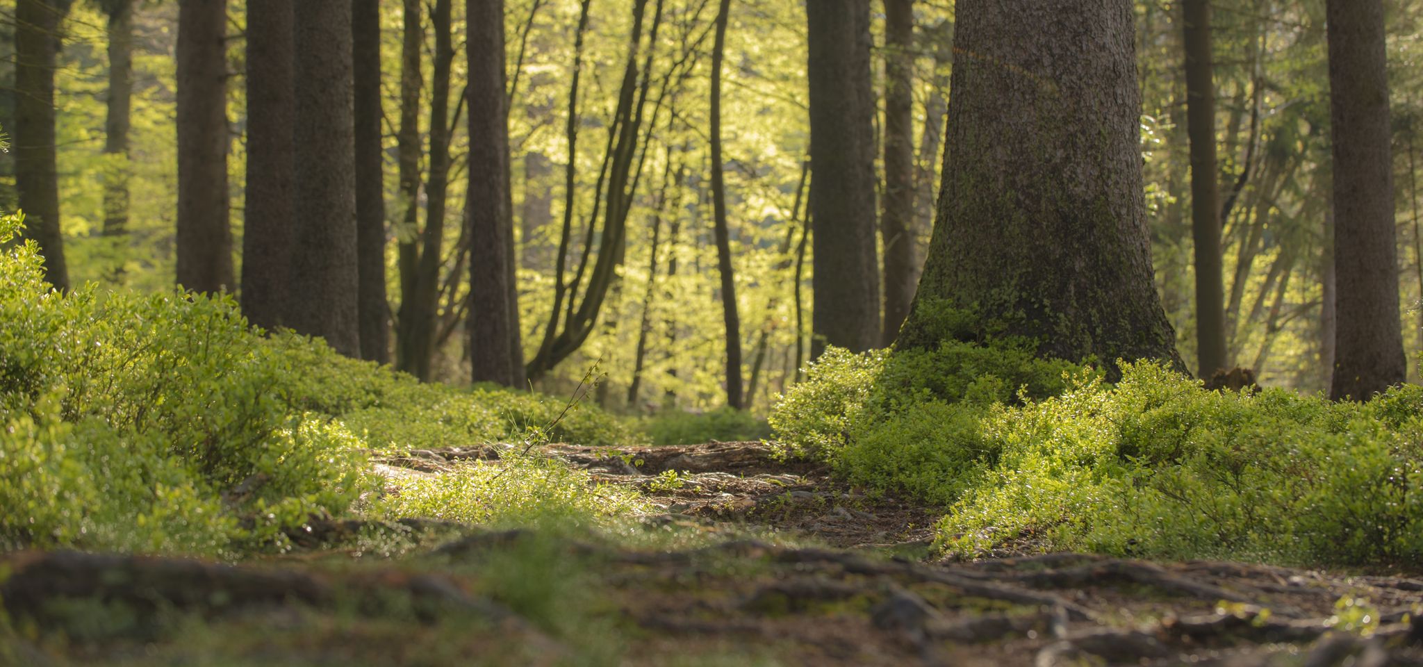
Mountain biking in the Spessart – Awesome trails in Germany
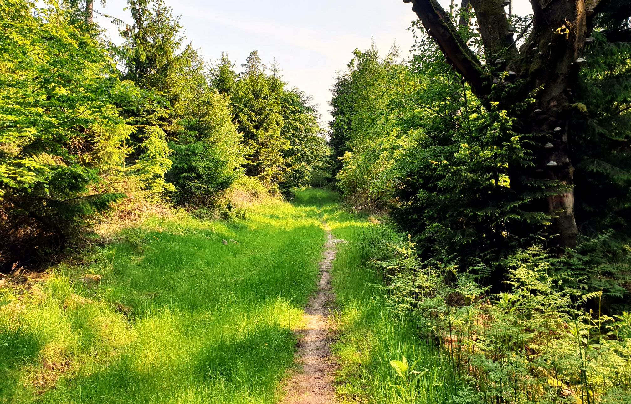
Mountain biking in the Spessart – Awesome trails in Germany
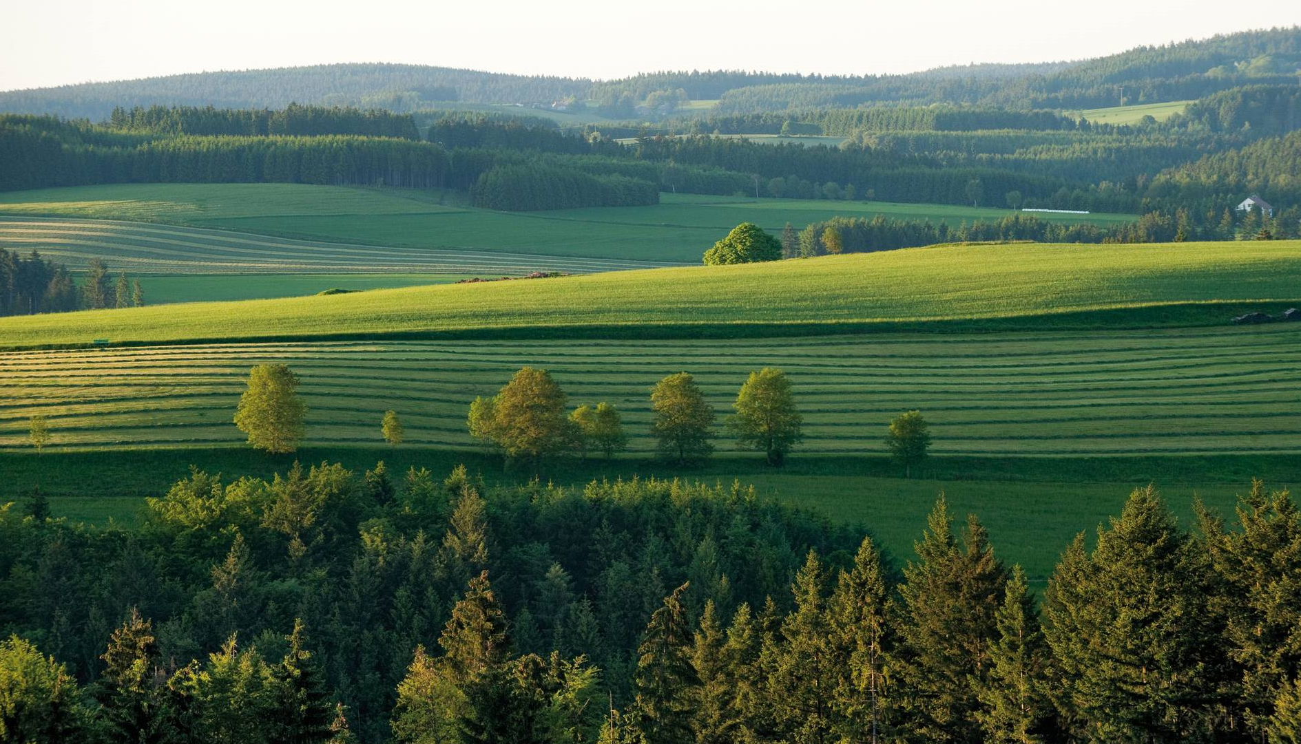
The most beautiful tours for summer and autumn – hiking paradise Franconia
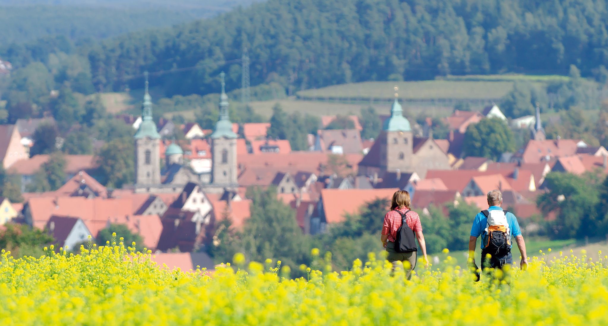
Unforgettable panoramic views — the most beautiful long-distance hikes in Franconia

Rucksack auf und los – Weitwandern mit deuter in Deutschland
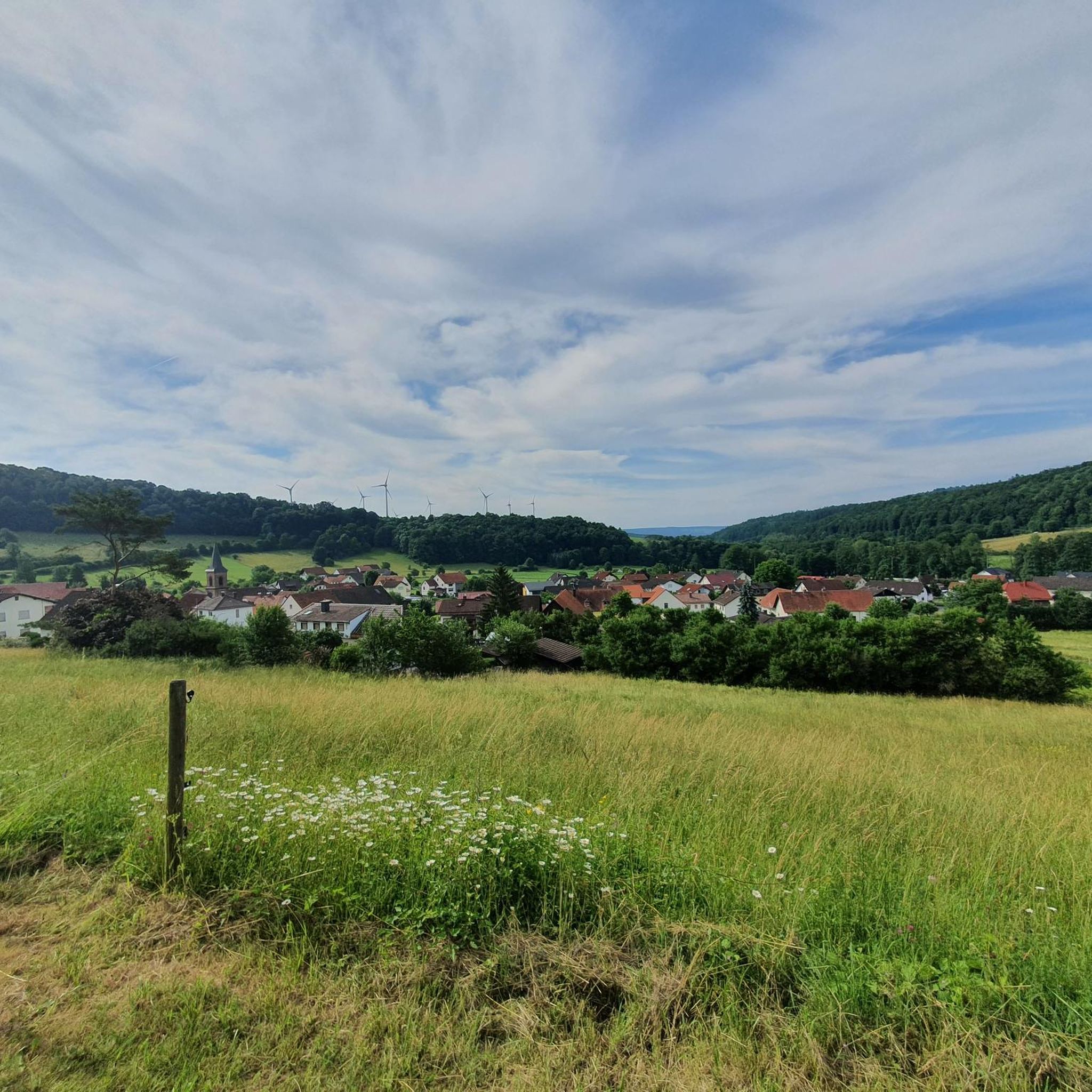
Hiking around Schlüchtern
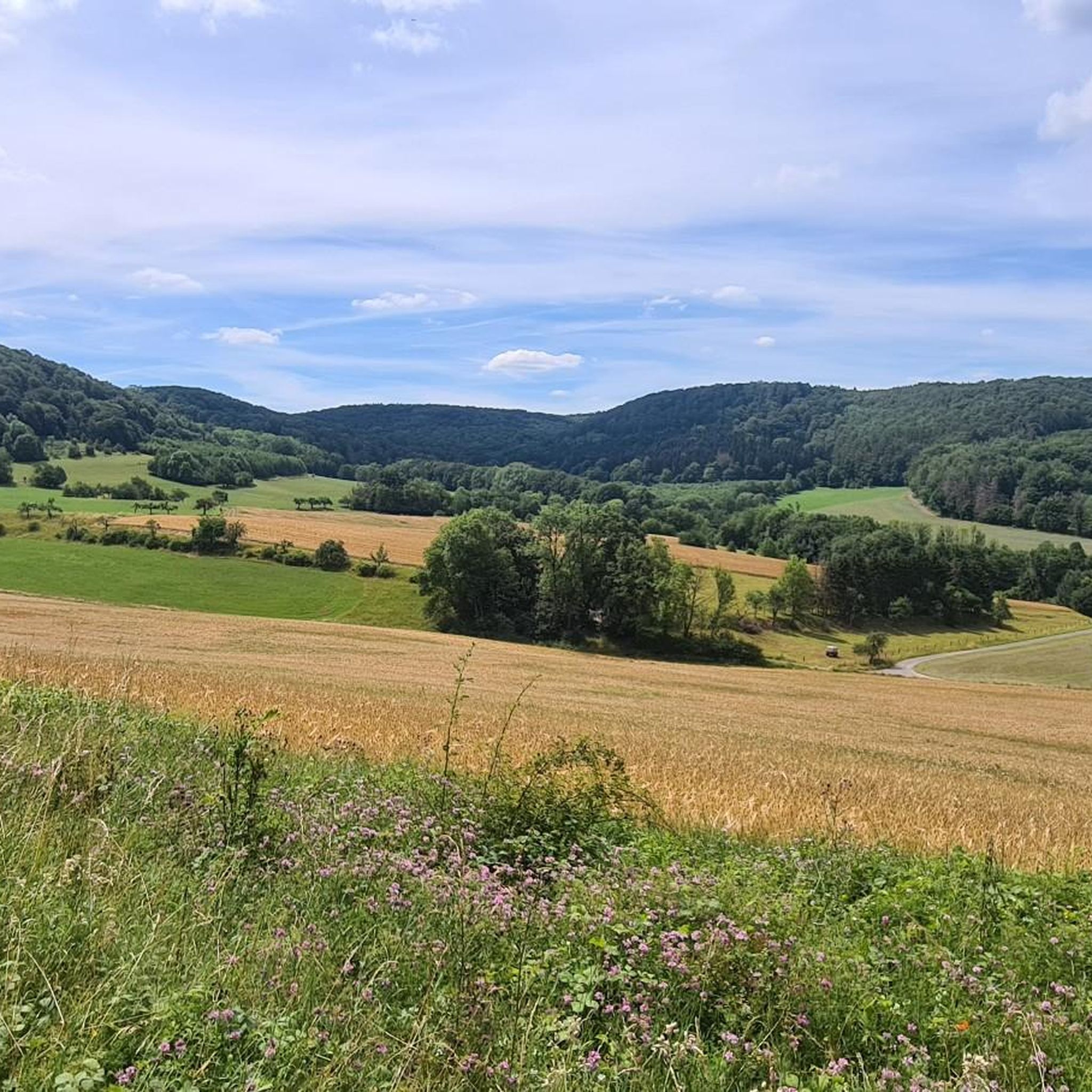
MTB Trails around Schlüchtern
Cycling around Schlüchtern
Other adventures around Schlüchtern


Tips from the Community

From Kreuzberg to Bad Brückenau, you practically don't have to pedal for 26.9 km by bike. But even then, it's always downhill to Jossa on the way and further to Gemünden. The Rhönexpress Way leads through wonderful meadows and protected landscape. Worth seeing.
0
0

Wonderful cycle path with a perfect surface
0
0

When it's dry, it's no problem to cycle the path.
1
0
There is a good cycle path here. I personally prefer the southern cycle path along the reservoir.
3
0

The Kinzig is a river approximately 86 kilometers long. It rises in Sterbfritz, flows southwest through the Main-Kinzig district of Hesse, and flows into the Main from the right in Hanau. The Kinzig is a second-order river in low mountain ranges. It overcomes an elevation of 301 meters and has a bed gradient of 3.5 per thousand. The Kinzig's catchment area covers 1,058 square kilometers, and the calculated mean discharge (MQ) at the mouth of the Kinzig is 10.97 cubic meters per second. The Kinzig was first documented in 796 as "iuxta fluvium Kincihen." In 815, the name was written as "Chinzicha," around 900 as "Kincicha"/"Kinzicham," in 1364 as "Kinzige," in 1584 as "Kintzig," in 1607 as "Bintz," in 1681 as "Kintz," in 1716 as "Kins," in 1769 as "Kinzing," and in 1802 as "Kinzig." In the river's headwaters, there was the now-defunct village of Kinzig, mentioned in 815 as "Chirizichheimero." The village and river were often confused by monastery scribes at that time with "Chizzicha" (now Bad Kissingen), both of which were described as being located in the Saalegau. The name presumably derives from the ancient Celtic *ku̯anti̯o- meaning "flat hill, valley." The name was therefore derived from the mountainous region from which the Kinzig flows. Source: Wikipedia
1
0
The Kinzig is a river approximately 86 kilometers long. It rises in Sterbfritz, flows southwest through the Main-Kinzig district of Hesse, and flows into the Main from the right in Hanau. The Kinzig is a second-order river in low mountain ranges. It overcomes an elevation of 301 meters and has a bed gradient of 3.5 per thousand. The Kinzig's catchment area covers 1,058 square kilometers, and the calculated mean discharge (MQ) at the mouth of the Kinzig is 10.97 cubic meters per second. The Kinzig was first documented in 796 as "iuxta fluvium Kincihen." In 815, the name was written as "Chinzicha," around 900 as "Kincicha"/"Kinzicham," in 1364 as "Kinzige," in 1584 as "Kintzig," in 1607 as "Bintz," in 1681 as "Kintz," in 1716 as "Kins," in 1769 as "Kinzing," and in 1802 as "Kinzig." In the river's headwaters, there was the now-defunct village of Kinzig, mentioned in 815 as "Chirizichheimero." The village and river were often confused by monastery scribes at that time with "Chizzicha" (now Bad Kissingen), both of which were described as being located in the Saalegau. The name presumably derives from the ancient Celtic *ku̯anti̯o- meaning "flat hill, valley." The name was therefore derived from the mountainous region from which the Kinzig flows. Source: Wikipedia
1
0

From here, you have a fantastic view of the Rhön Mountains. But the distinctive waypoint with the memorial cross is a great place to take a leisurely break with a fantastic panoramic view 🤩⛰️☀️ #Rhön #View #Waypoint #Break #Cross
1
0

Added to the collection: https://www.komoot.com/de-de/collection/3600632/-naturen-denkmaeler-besondere-baeume-und-weitere-schaetze-der-natur
0
0
Frequently Asked Questions
What kind of terrain can I expect on gravel bike trails around Schlüchtern?
Schlüchtern offers diverse terrain, situated at the crossroads of the Spessart, Rhön, and Vogelsberg regions. You'll find extensive forests, rolling hills, and scenic river valleys. The trails often consist of unpaved surfaces, including forest roads, fire roads, and even former railway lines, providing a mix of challenging climbs and flowing descents.
Are there many gravel bike routes available in Schlüchtern?
Yes, there are plenty of options for gravel biking around Schlüchtern. The komoot community has mapped over 30 gravel bike routes in the area, offering a wide range of experiences for different skill levels.
What are some notable natural features or viewpoints I can discover on a gravel ride?
The region is rich in natural beauty. You can ride through the vast Spessart Forest, Germany's largest contiguous forest area. For panoramic views, consider a route that includes the Mottener Haube observation tower. The Three Rivers Viewpoint – Jossa Railway Viaduct loop from Schlüchtern specifically highlights scenic viewpoints. You might also encounter the picturesque Kinzig Reservoir, which has a 6.5 km circular path, or the tranquil Sinn Valley with its historic mills.
Are there any family-friendly gravel bike routes in the Schlüchtern area?
While many routes in Schlüchtern are rated as difficult, the region does offer options suitable for families. The Rhönexpress Bahn-Radweg, for instance, is a 26.3 km cycling path following a former railway line with a gentle, consistent incline (maximum 3%), making it ideal for a moderate and family-friendly gravel experience.
What is the best time of year for gravel biking in Schlüchtern?
The diverse landscapes of Schlüchtern are enjoyable throughout much of the year. Spring and autumn offer pleasant temperatures and beautiful scenery with changing foliage. Summer is also great, especially for rides through the shaded Spessart Forest. Winter riding is possible, but be prepared for potentially colder and wetter conditions on unpaved trails.
Are there any routes that pass by lakes or reservoirs?
Yes, the Kinzig Reservoir is a prominent feature in the area, offering a scenic 6.5 km circular path that's great for gravel biking. You can find more details about this and other water bodies in the Lakes around Schlüchtern guide, which includes highlights like the Kinzig Reservoir itself and the View of the Kinzig Reservoir.
What do other gravel bikers say about the trails in Schlüchtern?
The gravel biking routes in Schlüchtern are highly regarded by the komoot community, with an impressive average rating of nearly 5 stars from over 15 reviews. More than 190 gravel bikers have used komoot to explore the varied terrain, often praising the extensive forest areas and the mix of challenging and scenic rides.
Are there any long-distance cycling routes that connect through Schlüchtern?
Yes, Schlüchtern is integrated into broader cycling networks. The Hessian Long-Distance Cycle Route R3 (Rhine-Main-Kinzig Cycle Route) passes through the town, offering options for longer-distance rides that follow the Rhine, Main, and Kinzig rivers towards Fulda and Tann in the Rhön.
Can I find circular gravel bike routes in Schlüchtern?
Many of the gravel routes around Schlüchtern are designed as loops, allowing you to start and end at the same point. For example, the popular Willings Pond – Westergrund Nature Reserve loop from Schlüchtern and the Eselsweg – First Trail Section – Sterbfritz Signpost (L3180) loop from Schlüchtern are excellent circular options.
Are there any specific historical or cultural points of interest along the gravel trails?
The region has historical significance. For instance, the Eselsweg – First Trail Section – Sterbfritz Signpost (L3180) loop from Schlüchtern follows sections of the historic Eselsweg, an ancient trade route. Additionally, the Sinn Valley features picturesque mills, offering a glimpse into the region's past.
What kind of difficulty can I expect from the gravel bike trails here?
Most of the gravel bike trails around Schlüchtern are rated as difficult, offering challenging climbs and varied terrain. However, there are also moderate options like the Rhönexpress Bahn-Radweg for those seeking a less strenuous ride. It's always a good idea to check the route details on komoot for specific elevation profiles and surface information.
Are there any specific nature reserves or protected areas I can cycle through?
Yes, the Willings Pond – Westergrund Nature Reserve loop from Schlüchtern takes you directly through the Westergrund Nature Reserve, allowing you to experience protected natural environments. The vast Spessart Forest itself is a significant natural area with numerous trails.
Most popular routes around Schlüchtern
Most popular attractions around Schlüchtern

Get inspired with the komoot mobile app


Explore more
Browse the best Gravel rides in other regions.
