The best gravel rides around Rohrbrunner Forst
4.7
(18)
85
riders
29
rides
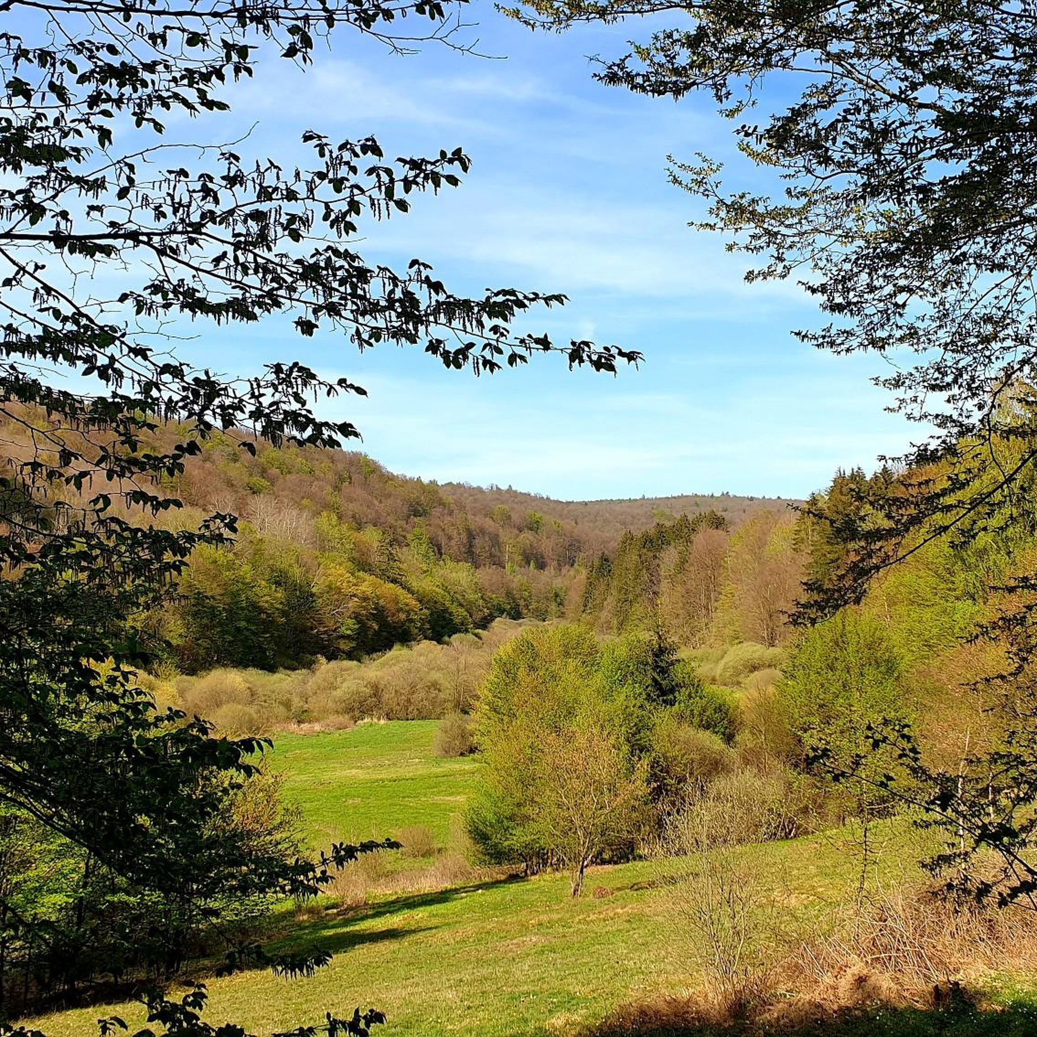
Gravel biking around Rohrbrunner Forst offers diverse terrain within the Spessart forest region, featuring a mix of roads, dedicated bike paths, gravel tracks, and meadow paths. The landscape is characterized by dense wooded areas and varied topography, including elevation changes that provide both climbs and descents. Riders can explore routes that traverse forests, valleys, and streams, with opportunities for scenic rides alongside water bodies. The region is completely forested and includes the Spessart's highest peaks, such as Geiersberg (586 m).
…Last updated: June 29, 2026
4.3
(3)
7
riders
25.0km
01:41
400m
400m
Moderate gravel ride. Good fitness required. Mostly paved surfaces. Suitable for all skill levels.
3
riders
59.5km
04:09
970m
970m
Hard gravel ride. Very good fitness required. You may need to push your bike for some segments of this route.

Sign up for free
7
riders
28.2km
01:51
370m
360m
Moderate gravel ride. Good fitness required. Mostly paved surfaces. Suitable for all skill levels.
5.0
(1)
5
riders
41.9km
02:48
500m
510m
Hard gravel ride. Very good fitness required. You may need to push your bike for some segments of this route.
5.0
(1)
7
riders
Hard gravel ride. Very good fitness required. Mostly paved surfaces. Suitable for all skill levels.
Get access to more routes and recommendations from other explorers.
Sign up for free
Already have an account?
Our route recommendations are based on thousands of hikes, rides, and runs completed by other people on komoot.
Start today with a free account
Your next adventure awaits.
Login or Signup
Tips from the Community

Directly next to the Echterspfahl
0
0

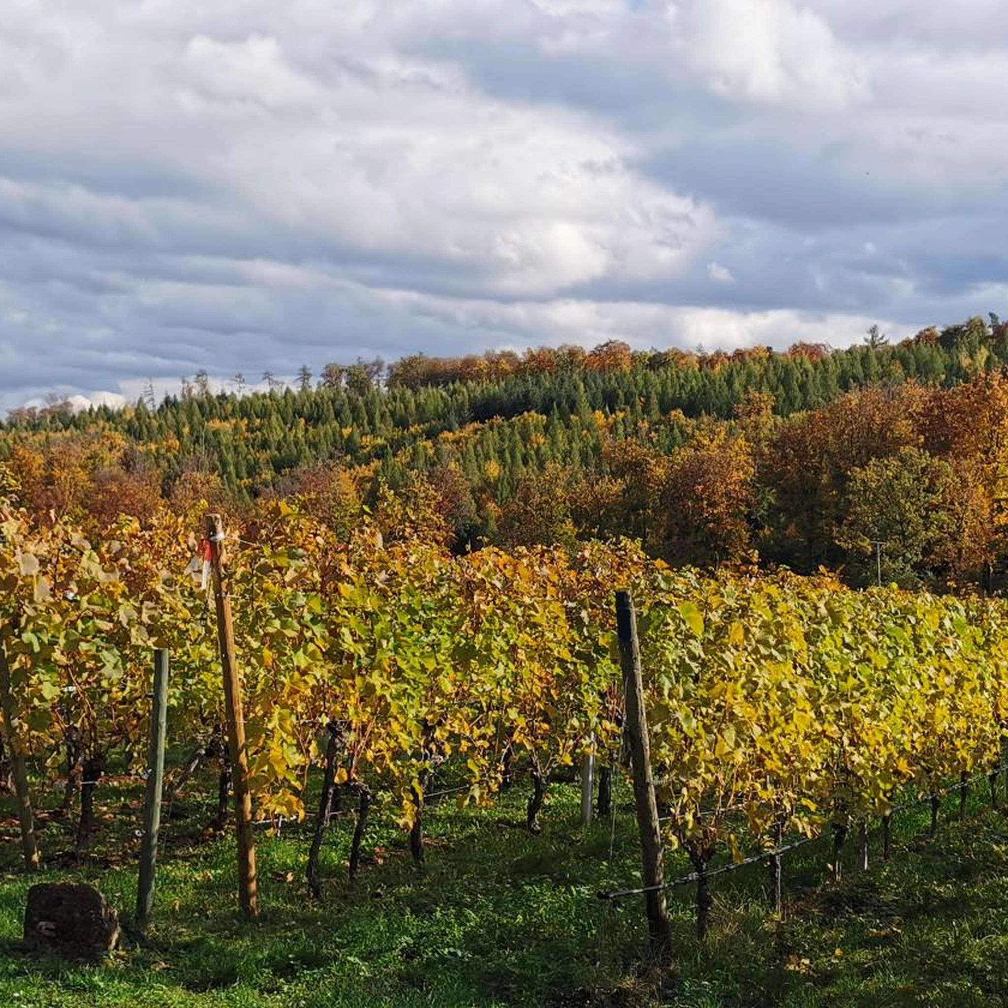
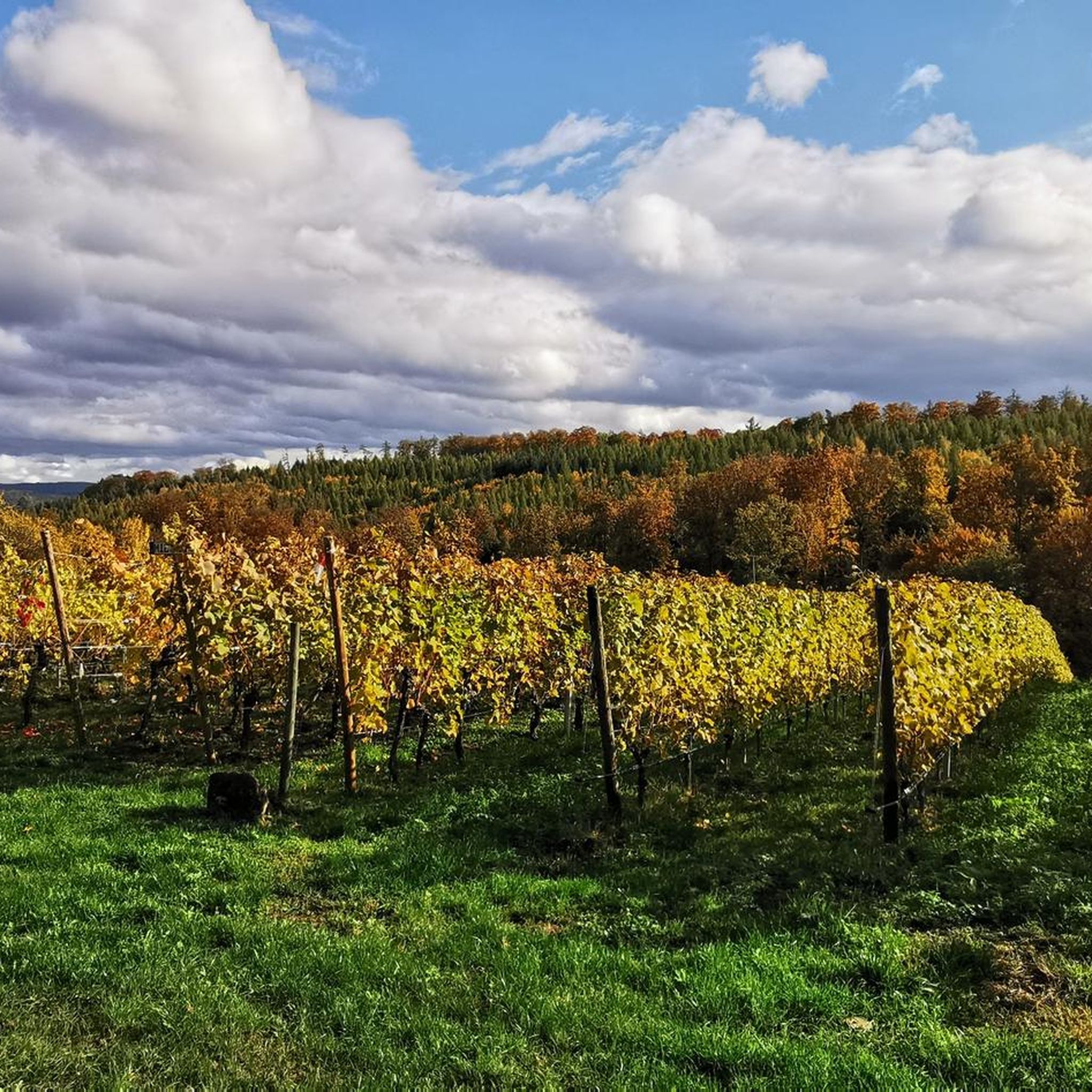
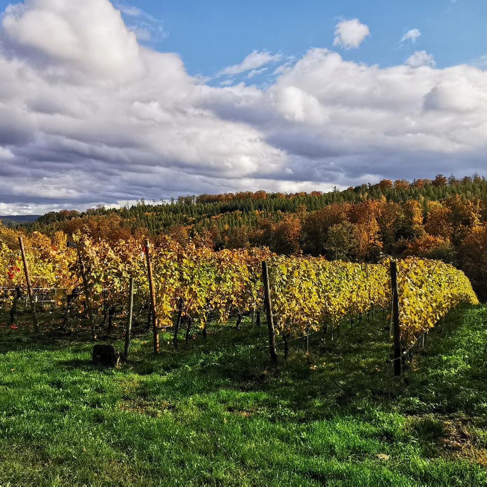
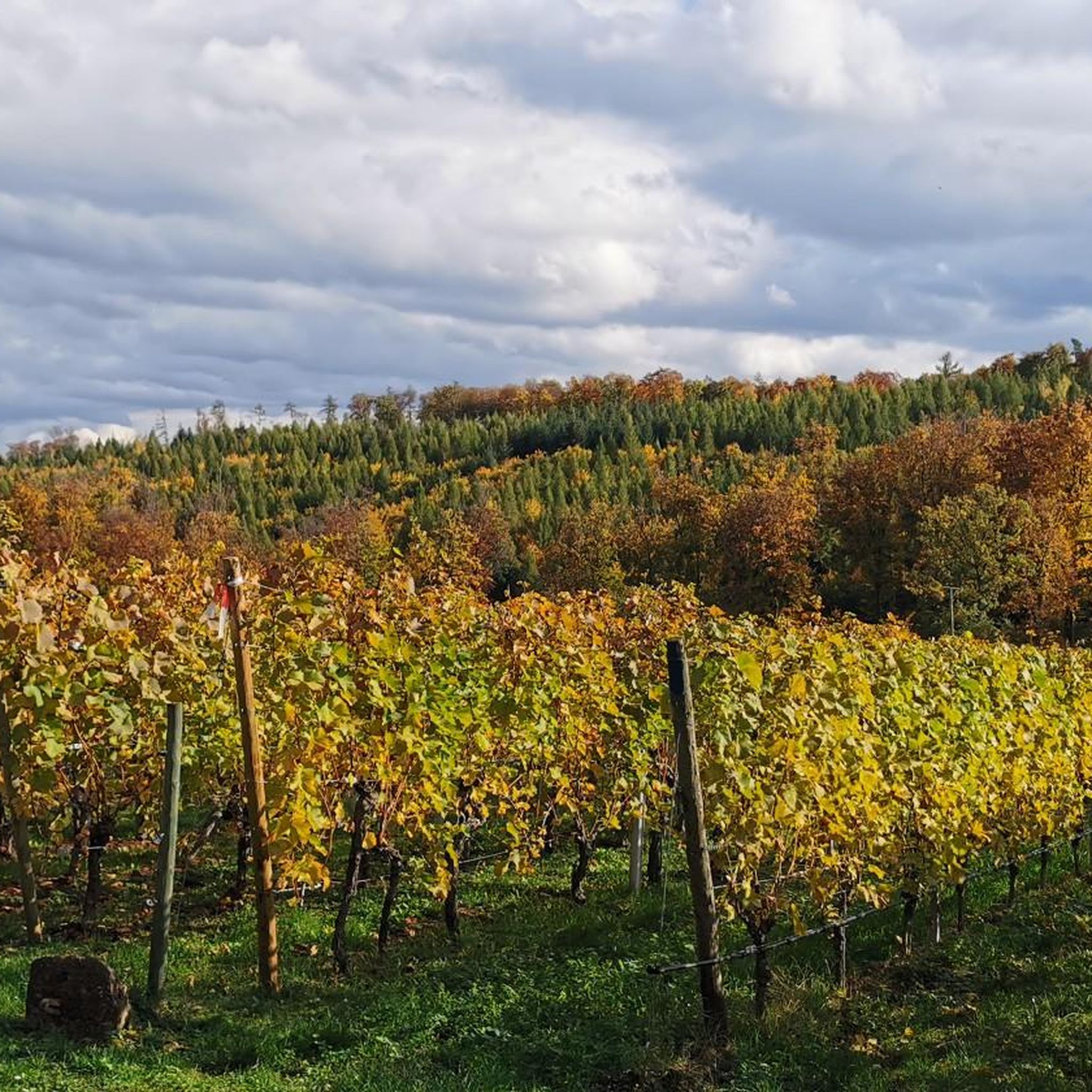
Beautiful path through the Aubach valley with magical clearings and forest passages.
1
0

great surprise in the middle of the forest
0
0

Here the "Eselsweg", an old trade route running north-south, along which animals heavily laden with salt were formerly transported from Bad Orb, crosses the old postal route running east-west from Würzburg to Frankfurt am Main. It was once a meeting place for the hunters and beaters of the Prince-Electors and Bishops of Mainz. The name goes back to the legend according to which the three Echter brothers, who were all active as robber knights and were pursued by Emperor Barbarossa's troops, met there from time to time and tied their horses to the metal rings of the post. The "Eselsweg" is today a quality long-distance hiking trail of 111 km.
0
0

The Hafenlohr is a 26.5 km long (27.7 km including the Tiergartenbach) right tributary of the Main River in the districts of Aschaffenburg and Main-Spessart in the Bavarian Spessart region. The Hafenlohr rises from two springs in the municipality of Rothenbuch. The longer and occasionally more water-rich branch is the Tiergartenbach, which often dries up on dry days. Officially, it is considered the upper course of the Hafenlohr main watercourse. The source, known as the Hafenlohr Spring, in the center of the village provides water almost year-round. The Hafenlohr Spring is located at Rothenbuch Castle. It was encased in sandstone during the road widening of the St 2317. Its water flows northwest through the castle moat and, after about 100 meters, flows from the left bank into the bed of the Tiergartenbach, which flows from the Tiergartengrund on the northern edge of the village and is already 1.3 km[7] long. It doesn't provide water year-round, but at times it provides more than the perennial spring at the castle. The spring at the castle was probably once a meeting place for hunters in the eastern Spessart, which is why construction of a hunting lodge began here in 1342. The spring water fed the castle moat and several surrounding trout lakes, which no longer exist. Source and further information: https://de.wikipedia.org/wiki/Hafenlohr_(Fluss)
1
0
The Hafenlohr is a 26.5 km long (27.7 km including the Tiergartenbach) right tributary of the Main River in the districts of Aschaffenburg and Main-Spessart in the Bavarian Spessart region. The Hafenlohr rises from two springs in the municipality of Rothenbuch. The longer and occasionally more water-rich branch is the Tiergartenbach, which often dries up on dry days. Officially, it is considered the upper course of the Hafenlohr main watercourse. The source, known as the Hafenlohr Spring, in the center of the village provides water almost year-round. The Hafenlohr Spring is located at Rothenbuch Castle. It was encased in sandstone during the road widening of the St 2317. Its water flows northwest through the castle moat and, after about 100 meters, flows from the left bank into the bed of the Tiergartenbach, which flows from the Tiergartengrund on the northern edge of the village and is already 1.3 km[7] long. It doesn't provide water year-round, but at times it provides more than the perennial spring at the castle. The spring at the castle was probably once a meeting place for hunters in the eastern Spessart, which is why construction of a hunting lodge began here in 1342. The spring water fed the castle moat and several surrounding trout lakes, which no longer exist. Source and further information: https://de.wikipedia.org/wiki/Hafenlohr_(Fluss)
1
0

Beautiful bike paths along the Main River. Klingenberg Bridge with lock. Clingenburg Castle above the city.
0
0

The town of Eschau has completed a comprehensive renovation of the listed historic town hall. Following completion, the building, including the Market Hall, Council Chamber, and Council Chamber, will be available for cultural use.
0
0
Frequently Asked Questions
What kind of terrain can I expect on gravel bike trails in Rohrbrunner Forst?
The Rohrbrunner Forst region offers a diverse mix of terrain, perfect for gravel biking. You'll encounter dedicated bike paths, gravel tracks, meadow paths, and even some trails. The landscape is characterized by dense woodlands and varied topography, including both climbs and descents, ensuring dynamic and engaging rides.
Are there any easy gravel bike trails for beginners or families?
Yes, there are options for easier rides. While many routes feature significant elevation, you can find moderate trails suitable for those looking for a less strenuous experience. For example, the Maria am Weg - Chapel – Historic Town Hall loop from Dammbach is a moderate 28 km route that connects cultural landmarks with varied forest paths.
What are some notable landmarks or points of interest I can see while gravel biking?
The area around Rohrbrunner Forst is rich in natural beauty and historical sites. You can cycle past the historic Mespelbrunn Castle, a picturesque moated castle. Other highlights include the Ludwig-Keller Observation Tower on Geishöhe for panoramic views, or the serene Waldsee Heimbuchenthal. The region also features unique natural monuments like the Breakfast Oak.
Are there any challenging gravel routes for experienced riders?
Absolutely. Rohrbrunner Forst offers plenty of challenging routes with significant elevation gains. A popular difficult option is the Mespelbrunn Castle – Sylvan Forest Lodge loop from Weibersbrunn, a nearly 60 km path that takes you through deep forest and past the historic castle. Another demanding ride is the Wildensee Recreation Area – View of Klingenberg am Main loop from Dammbach.
What do other gravel bikers say about the trails in Rohrbrunner Forst?
The gravel biking routes in Rohrbrunner Forst are highly regarded by the komoot community, with an average rating of 4.3 stars from over 40 reviews. Riders often praise the diverse terrain, the immersive forest experience, and the combination of natural beauty with cultural points of interest.
Can I find circular gravel bike routes in the area?
Yes, many of the gravel bike routes in Rohrbrunner Forst are designed as loops, allowing you to start and finish at the same point. Examples include the Kurparksee Heimbuchenthal – Rück-Schippach Cycle Path loop from Heimbuchenthal, which is a moderate 38.4 km circular trail, and the longer, more challenging loops mentioned previously.
Are there any places to eat or stay near the gravel bike trails?
While specific accommodations aren't listed in the guide, the region offers charming towns like Lohr am Main, which has amenities for visitors. You might also find rustic forest houses, such as the Hohewart-Haus, known for its food and local beer, which can serve as a great stop during or after your ride.
What is the best time of year for gravel biking in Rohrbrunner Forst?
The Spessart forest region, including Rohrbrunner Forst, is beautiful throughout the year. Spring and autumn offer pleasant temperatures and vibrant foliage, while summer provides lush green scenery. Even in winter, some trails can be ridden, though conditions might vary. Always check local weather and trail conditions before heading out.
Are there any trails suitable for mountain bikes that are also good for gravel bikes?
Given the diverse terrain, many trails designated for mountain biking in the broader Spessart region can also be suitable for gravel bikes, especially those with wider tires. The area features a mix of dedicated bike paths, gravel tracks, and some trails, offering a varied experience for both disciplines. Always assess the specific trail's technicality to ensure it matches your gravel bike's capabilities.
How many gravel bike routes are available in Rohrbrunner Forst?
There are over 50 gravel bike routes available in the Rohrbrunner Forst region, catering to various skill levels. This includes a mix of easy, moderate, and difficult trails, ensuring there's something for every gravel biking enthusiast.
Are there any routes that pass by water bodies like lakes or streams?
Yes, the region's natural beauty includes several water bodies. You can find scenic rides alongside lakes and streams. For instance, the Kurparksee Heimbuchenthal – Rück-Schippach Cycle Path loop from Heimbuchenthal leads through scenic areas including a lake and dedicated cycle paths. The broader Spessart region also features references to lakes and streams, adding to the natural allure of the rides.
Most popular routes around Rohrbrunner Forst
Most popular attractions around Rohrbrunner Forst

Get inspired with the komoot mobile app


Explore more
Browse the best Gravel rides in other regions.
