The best gravel rides around Wassertrüdingen
4.4
(118)
687
riders
25
rides
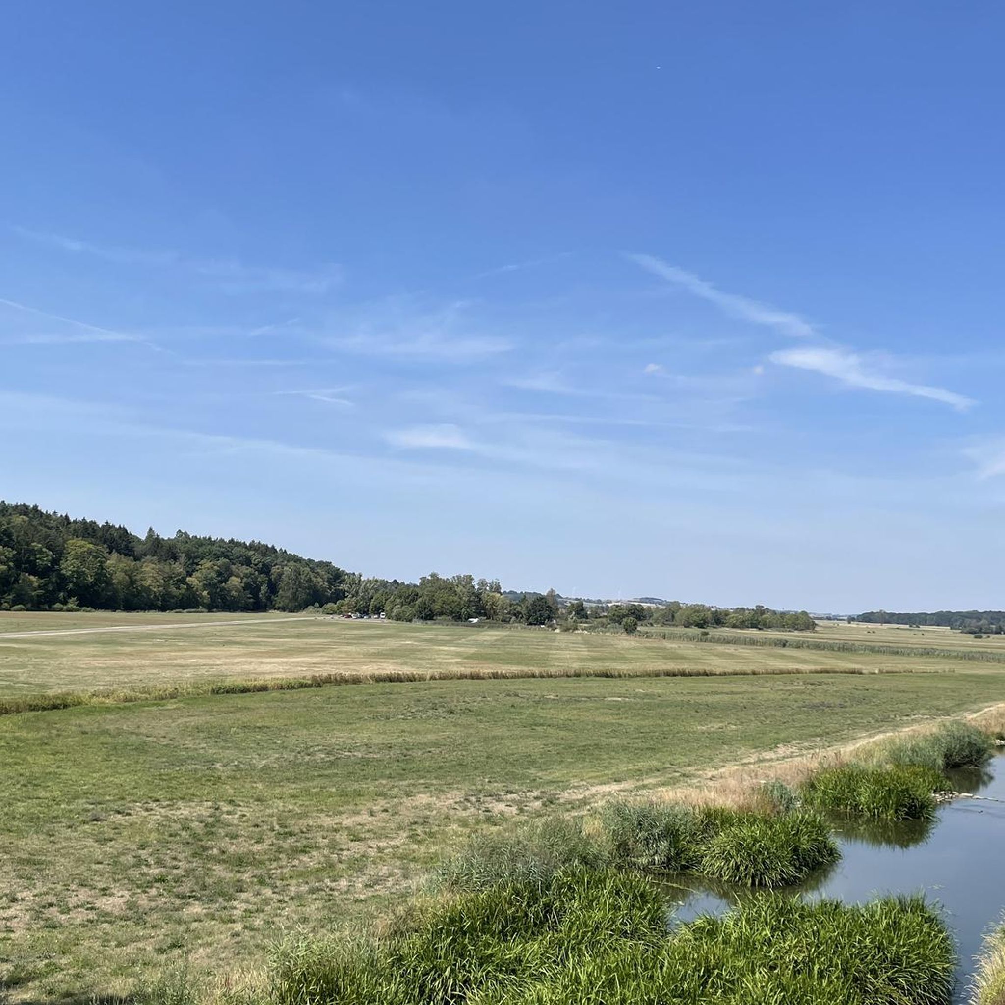
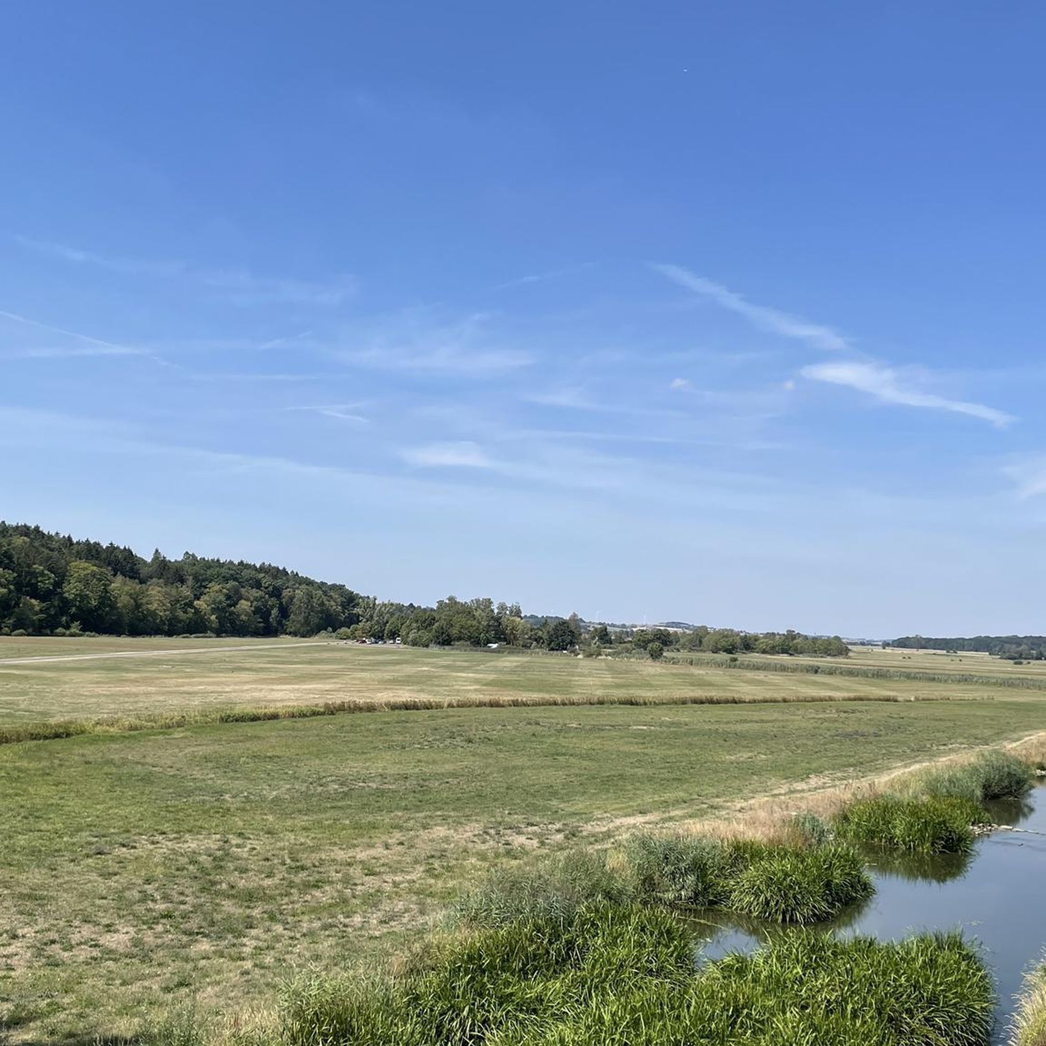
Gravel biking around Wassertrüdingen offers diverse landscapes for exploration. The region is situated between the Hesselberg, a prominent hill, and the wooded expanses of the Oettinger Forest, with the Wörnitz river meandering through a wide valley. Terrain includes gentle green hills, orchards, and dense forests, providing varied unpaved segments suitable for gravel cyclists. The nearby Franconian Lake District further enhances the area's appeal for outdoor activities.
Best gravel bike trails around Wassertrüdingen
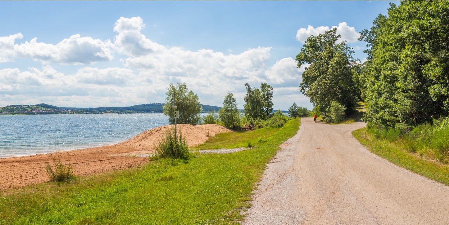
- The most popular gravel bike trail is Brombachsee…
Last updated: November 2, 2026
4.3
(15)
79
riders
64.6km
03:19
240m
240m
Moderate gravel ride. Good fitness required. Mostly paved surfaces.
4.7
(98)
579
riders
Moderate gravel ride. Good fitness required. Mostly paved surfaces.

5.0
(1)
5
riders
48.1km
02:53
550m
550m
Hard gravel ride. Very good fitness required. Mostly paved surfaces.
3.5
(2)
7
riders
29.0km
01:42
190m
190m
Moderate gravel ride. Good fitness required. Mostly paved surfaces.
5.0
(1)
9
riders
Moderate gravel ride. Good fitness required. Mostly paved surfaces.
Get access to more routes and recommendations from other explorers.
Already have an account?
Our route recommendations are based on thousands of hikes, rides, and runs completed by other people on komoot.
Start today with a free account
Your next adventure awaits.
Popular around Wassertrüdingen


Tips from the Community

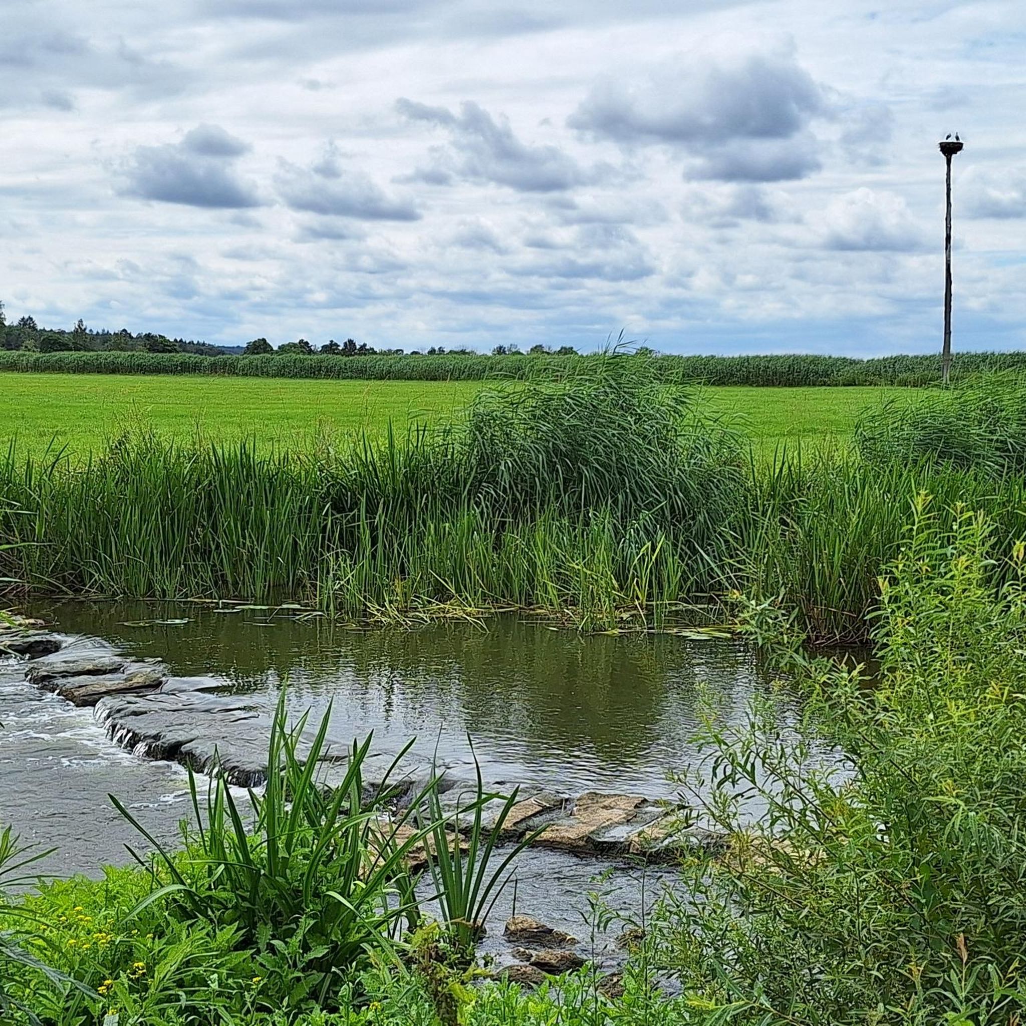
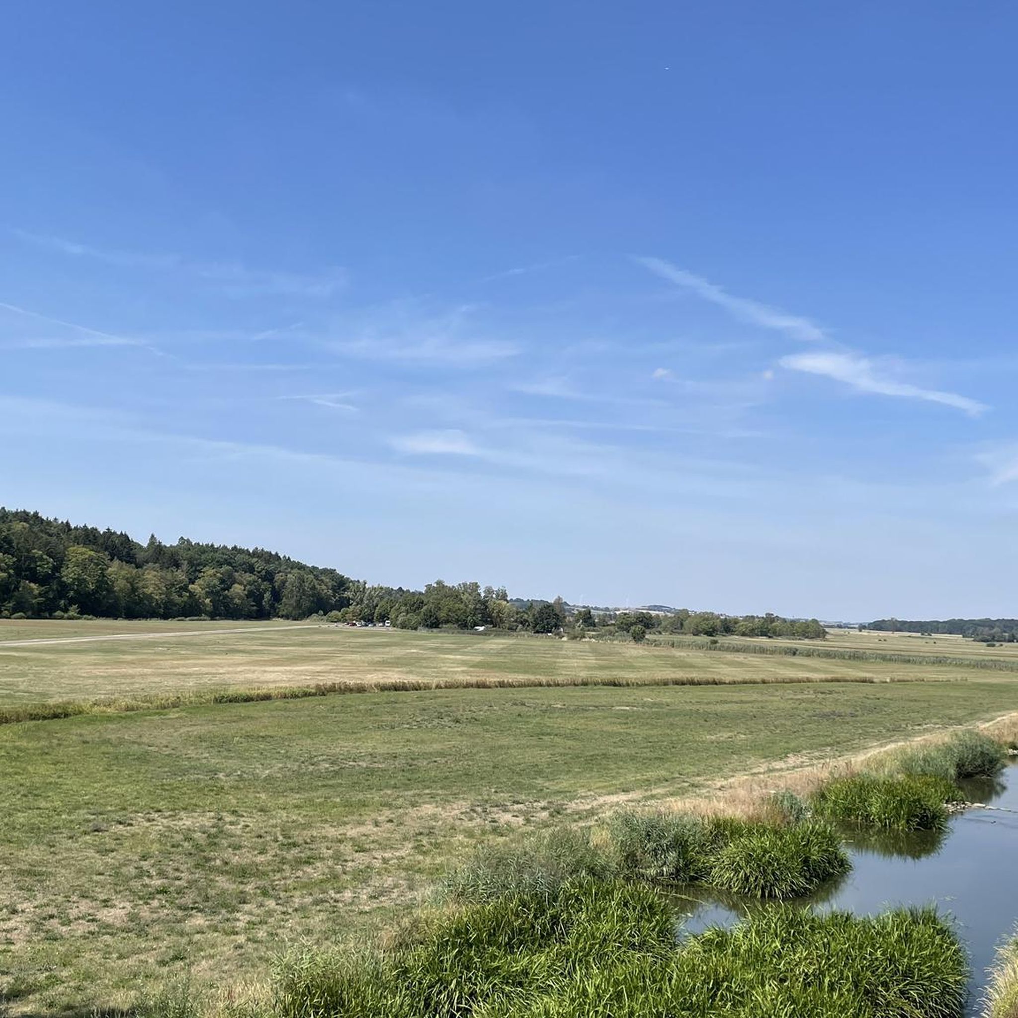
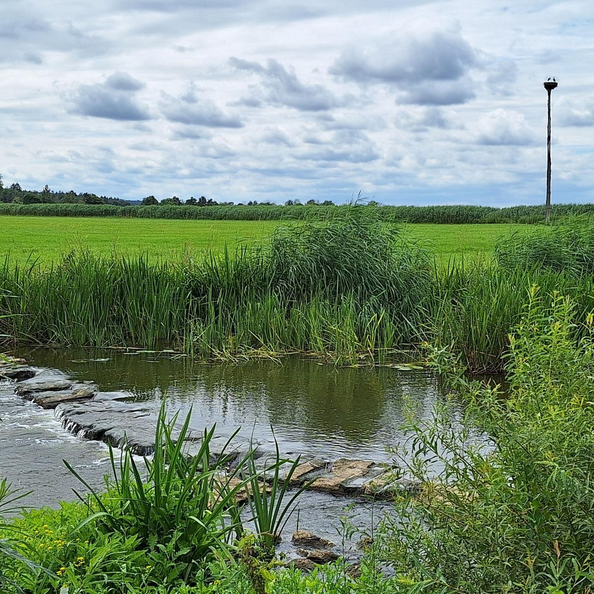
Simply beautiful place. Especially for sunrise or sunset.
0
0

The Großer Brombachsee is a reservoir in the south of Middle Franconia and, together with its two feeder reservoirs, Kleiner Brombachsee and Igelsbachsee, forms the Brombachsee. Inaugurated in 2000, it is the largest reservoir in the Franconian Lake District.
1
0
It serves as the eastern or southeastern entrance to the historic city center and is 300 meters from the Oberes Tor. On the field side of the gate, historical coats of arms are attached – the one on the right belonging to Konrad von Egloffstein and the one on the left to Ludwig von Wertheim.
1
0
The rubble stone wall was started around 1332-1360. Only partially does a street run along the wall on the inside, the largest part is built up on the inside with houses reaching up to the wall.
1
0

Wolfram Eschenbach has apparently done a lot to preserve the city walls and their towers. It's wonderful that, in these modern and fast-moving times, investments are also being made in preserving these special buildings!
0
0
The counterpart to the upper gate is this smaller yet "mighty" lower gate.
0
0

Great route and beautiful scenery
3
0
Great bike path, great roads, really fun
1
0
Frequently Asked Questions
How many gravel bike trails are available around Wassertrüdingen?
There are 38 gravel bike trails around Wassertrüdingen, offering a variety of options for different skill levels. These routes explore the diverse landscapes between the Hesselberg and the Oettinger Forest.
What kind of terrain can I expect on gravel bike trails in Wassertrüdingen?
The terrain around Wassertrüdingen is quite varied, featuring gentle green hills, orchards, and dense forests. You'll find routes that meander along the Wörnitz river valley and others that climb towards the Hesselberg, offering a mix of unpaved segments suitable for gravel cycling. The landscape is often described as almost Tuscan in its beauty.
What do other gravel bikers enjoy about the routes in Wassertrüdingen?
The gravel biking routes in Wassertrüdingen are highly rated by the komoot community, with an average score of 4.5 stars from over 70 reviews. Many riders appreciate the diverse terrain, from lakeside paths to forest sections, and the scenic views of the surrounding natural features.
Are there challenging gravel routes for experienced riders?
Yes, Wassertrüdingen offers 12 difficult gravel routes for those seeking a challenge. An example is the Steinerne Rinne, Wolfsbronn – Heumöderntal Valley Station loop from Meinheim, which covers 47.7 km with significant elevation changes, often taking nearly 4 hours to complete.
Can I find easier gravel bike routes suitable for beginners?
Absolutely. There are 26 moderate gravel routes available. For a less strenuous ride, consider the View of the Brombachsee – View of Brombachsee loop from Unterwurmbach, a 40.1 km route with moderate elevation, offering scenic views without excessive difficulty.
Are there any family-friendly gravel biking options in the area?
While specific 'family-friendly' gravel routes are not explicitly detailed, the region's many moderate routes and attractions like the Klingenweiherpark with its adventure playground, or the Wörnitz river pool, suggest that some of the flatter, less technical paths, particularly those along the Wörnitz river or near the Franconian Lake District, could be suitable for families. Always check route details for specific terrain and distance.
What natural features or landmarks can I see along the gravel bike trails?
Many trails offer views of the Hesselberg, the Wörnitz river, and the Oettinger Forest. You might also encounter highlights like the Seven Springs or the Kaiserberge Panorama Viewpoint and Shelter. The region is also close to the Fränkisches Seenland (Franconian Lake District), with attractions such as the Altmühlsee Surf Center.
Are there any circular gravel bike routes available?
Yes, many of the gravel routes around Wassertrüdingen are designed as loops. For instance, the Brombachsee Lakeside Trail – Bergweg Forest Path loop from Gunzenhausen is a popular 64.6 km circular route combining lakeside and forest sections.
What is the best season for gravel biking in Wassertrüdingen?
The region is generally pleasant for cycling from spring through autumn. Spring brings blooming orchards, while autumn offers vibrant foliage in the forests. Summer is also popular, especially with the nearby lakes and the Wörnitz river pool for a refreshing dip. Always check local weather conditions before heading out.
Are there places to stop for refreshments or food along the trails?
The Wörnitz Cycle Route, which often includes gravel-friendly paths, is known for its scenic paths and cozy beer gardens along the way, perfect for refreshment stops. Wassertrüdingen itself has a charming medieval old town with various establishments. For specific routes, checking the komoot tour details can often reveal points of interest like cafes or pubs.
Can I reach the gravel trails using public transport?
Wassertrüdingen is connected by public transport, and some routes start from towns like Gunzenhausen, which may have better public transport links. It's advisable to check local bus or train schedules to see how well they connect to specific trailheads, especially if you plan to bring your bike.
Where can I park my car when starting a gravel bike tour?
Wassertrüdingen, as a hub for cycling, offers various parking options. For tours starting in the town, you can usually find public parking. If starting from other points like Gunzenhausen or Meinheim, look for designated parking areas near the trailheads. Checking the starting point of your chosen route on komoot often provides parking information.
Most popular routes around Wassertrüdingen
Most popular attractions around Wassertrüdingen

Get inspired with the komoot mobile app


Explore more
Browse the best Gravel rides in other regions.
