The best gravel rides around Schöllkrippen
4.7
(49)
366
riders
91
rides
Gravel biking around Schöllkrippen offers a network of trails through the Spessart low mountain range, characterized by rolling hills, dense woodlands, and numerous water bodies such as ponds and reservoirs. The terrain primarily consists of forest roads and gravel paths, providing varied surfaces for gravel cyclists. This region features moderate elevation changes, making it suitable for different skill levels. The Kahlgrund and Kahl River Valley also provide scenic riverside paths suitable for gravel bikes.
Best gravel bike trails around Schöllkrippen
…Last updated: May 21, 2026
4.7
(3)
15
riders
Hard gravel ride. Very good fitness required. Mostly paved surfaces. Suitable for all skill levels.
5.0
(1)
9
riders
25.2km
01:32
330m
330m
Moderate gravel ride. Good fitness required. Mostly paved surfaces. Suitable for all skill levels.

Sign up for free
7
riders
28.4km
01:45
330m
330m
Hard gravel ride. Good fitness required. You may need to push your bike for some segments of this route.
5.0
(1)
4
riders
35.7km
02:28
550m
550m
Hard gravel ride. Very good fitness required. Mostly paved surfaces. Suitable for all skill levels.
4.3
(3)
11
riders
Hard gravel ride. Very good fitness required. Mostly paved surfaces. Suitable for all skill levels.
Get access to more routes and recommendations from other explorers.
Sign up for free
Already have an account?
Our route recommendations are based on thousands of hikes, rides, and runs completed by other people on komoot.
Start today with a free account
Your next adventure awaits.
Login or Signup
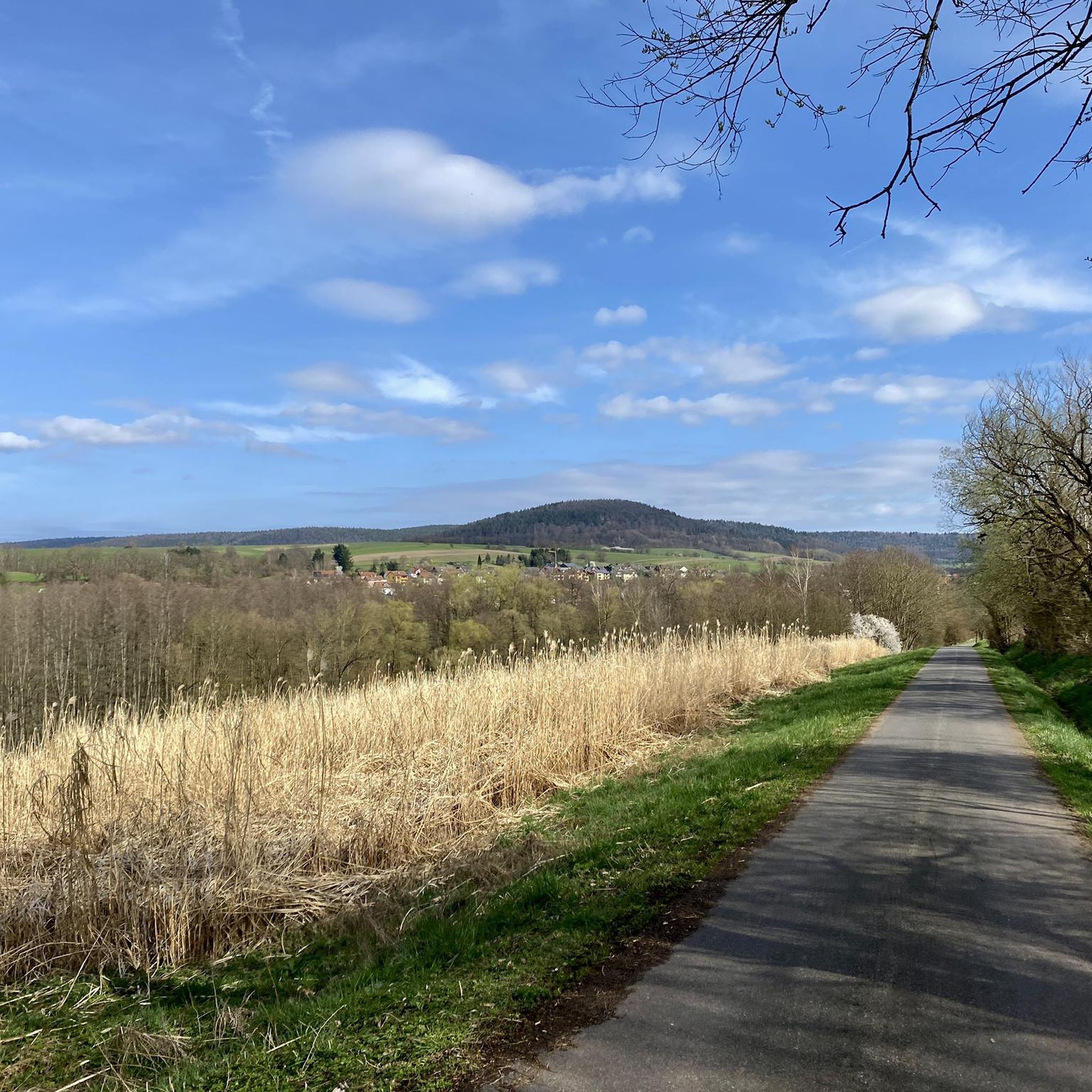
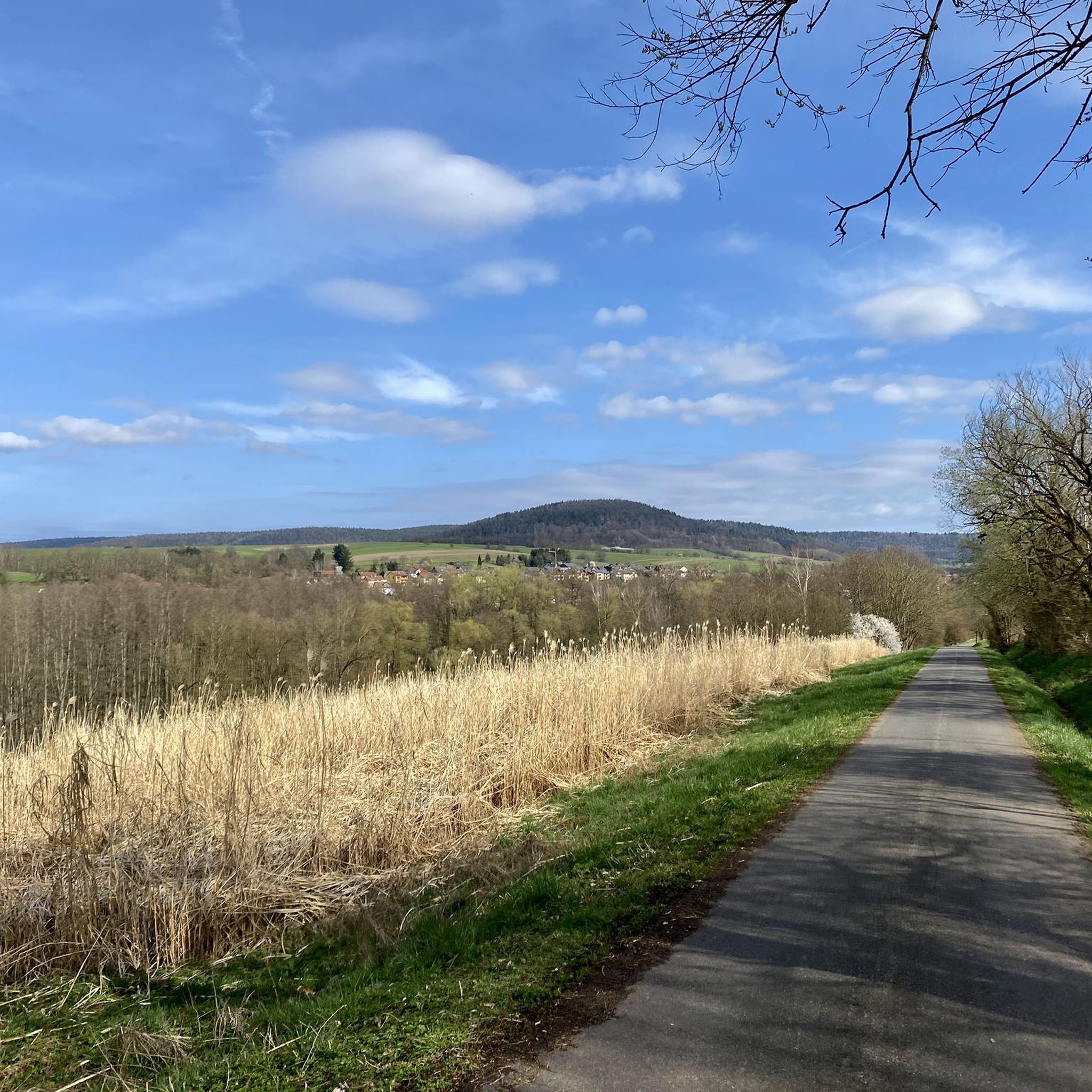
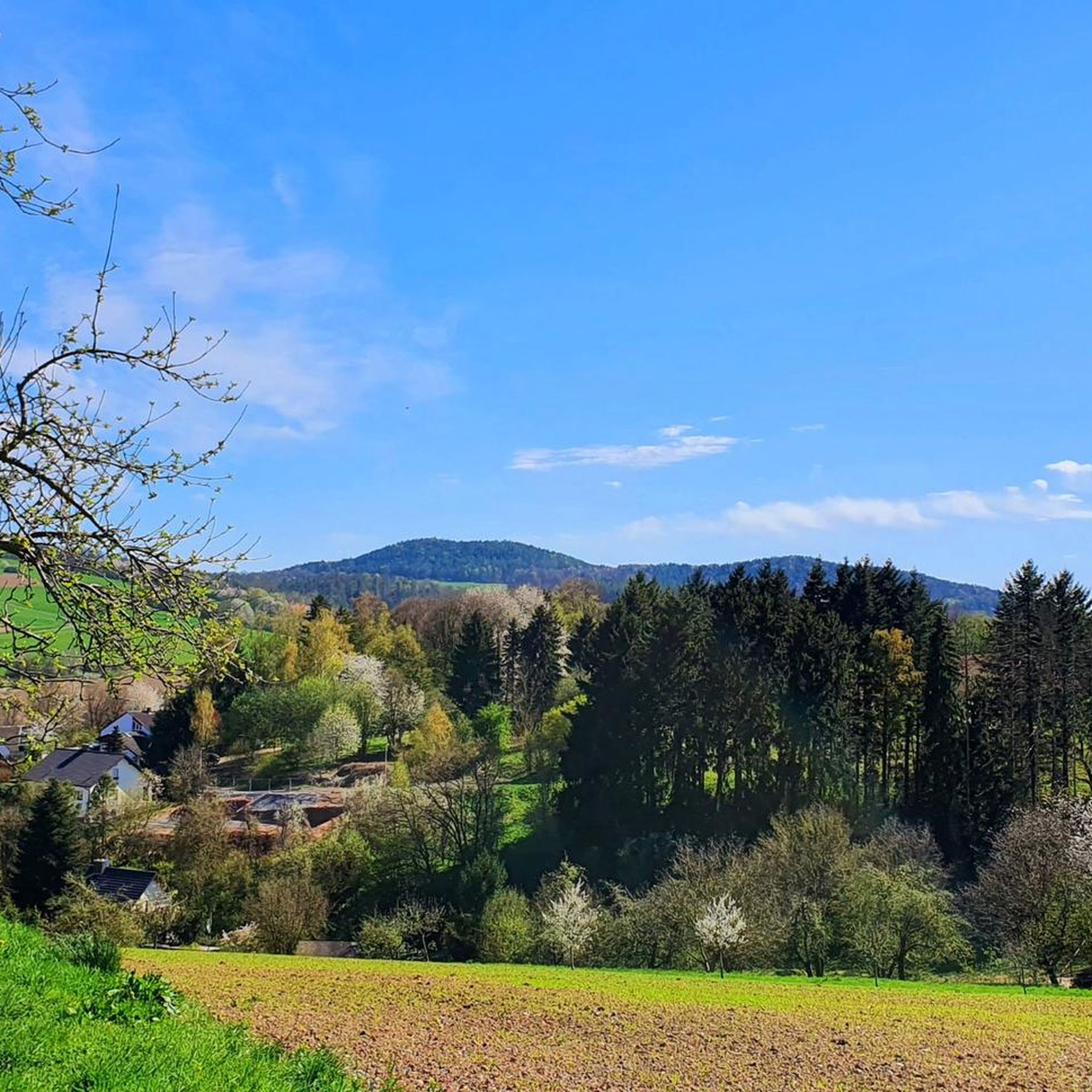

Tips from the Community

It is a pleasure to be out and about here.
0
0

It is partly a difficult stretch to cycle here relaxed as a 'Biobiker'.
0
0

The Eselsweg is the hiking trail.
0
0
There are numerous fish ponds along the Kahl river.
1
0
It's illegal but still nice.
0
0
Sometimes there is a tree 🌳 in the way.
1
0
There are many horses 🐎 and cows 🐄 to look at here.
2
0
Frequently Asked Questions
How many gravel bike trails are available around Schöllkrippen?
There are over 120 gravel bike routes around Schöllkrippen, offering a wide range of options for different skill levels. You'll find everything from moderate loops to more challenging long-distance rides through the Spessart low mountain range.
Are there easy or beginner-friendly gravel bike routes in Schöllkrippen?
Yes, Schöllkrippen offers routes suitable for beginners. While many trails feature moderate elevation changes, you can find less demanding options. For instance, the Sterzenbach Pond – Anglersee Mensengesäß loop from Blankenbach is a moderate 19-mile (30.6 km) trail that takes about 2 hours to complete.
Where can I find long-distance gravel cycling routes near Schöllkrippen?
For those seeking longer rides, the region has several extensive gravel routes. A notable option is the Kinzig Reservoir – Kinzig Spring loop from Geiselbach, a challenging 78.7-mile (126.6 km) path that explores varied forest and riverside terrain.
Are there any circular gravel bike routes in the Schöllkrippen area?
Many of the gravel bike trails around Schöllkrippen are designed as circular routes, allowing you to start and end at the same point. An example is the Gondel Pond, Horbach – View of Geiselbach loop from Geiselbach, a moderate 15.6-mile (25.1 km) loop.
What kind of terrain can I expect on gravel bike trails in Schöllkrippen?
The terrain primarily consists of forest roads and gravel paths, providing varied surfaces. You'll encounter rolling hills and dense woodlands, with routes often leading around numerous water bodies like ponds and reservoirs. The region features moderate elevation changes, making it suitable for different skill levels.
What do other gravel bikers say about the trails in Schöllkrippen?
The gravel biking routes in Schöllkrippen are highly rated by the komoot community, with an average score of 4.6 stars from over 90 reviews. Riders often praise the diverse terrain, the scenic forest paths, and the well-maintained gravel surfaces that make for an enjoyable experience.
Are there any interesting landmarks or attractions along the gravel routes?
Yes, the region offers several points of interest. You might encounter natural features like the Aubachtal Valley or historical sites such as the Antonius Grotto Alzenau. Many trails also offer scenic viewpoints, such as those found on the Forest Inn "Zum Engländer" – View of Feldkahl loop from Hofstädten.
Are there any specific trails for advanced gravel cyclists?
For experienced riders, Schöllkrippen offers several challenging routes with significant elevation gain and longer distances. The Teufelsmühle (Spessart) – View from Ziegelberg loop from Geiselbach is a difficult 17.6-mile (28.4 km) route that provides a good workout and rewarding views.
What is the best time of year for gravel biking in Schöllkrippen?
The Spessart region is generally pleasant for gravel biking from spring through autumn, when the weather is mild and the forest trails are in good condition. While some trails may be accessible in winter, conditions can be variable due to snow or ice, so it's best to check local forecasts.
Are there options for parking at the trailheads in Schöllkrippen?
Many trailheads and starting points for gravel routes in and around Schöllkrippen offer designated parking areas. It's advisable to check the specific tour details on komoot for information on parking availability at your chosen starting location.
Can I find gravel bike routes that are suitable for families with children?
While the guide focuses on general gravel biking, the presence of moderate trails and forest roads suggests that some sections or shorter loops could be suitable for families. Look for routes with less elevation change and smoother surfaces, often found around the ponds and reservoirs, for a more family-friendly experience.
Are there any gravel bike trails that pass by cafes or places to stop for refreshments?
Many routes in the Spessart region pass through or near small villages and towns where you can find cafes or inns. For example, the Forest Inn "Zum Engländer" – View of Feldkahl loop from Hofstädten explicitly mentions an inn, suggesting opportunities for refreshments along the way.
Most popular routes around Schöllkrippen
Most popular attractions around Schöllkrippen

Get inspired with the komoot mobile app


Explore more
Browse the best Gravel rides in other regions.
