The best gravel rides around Rauenberg
4.6
(80)
419
riders
60
rides
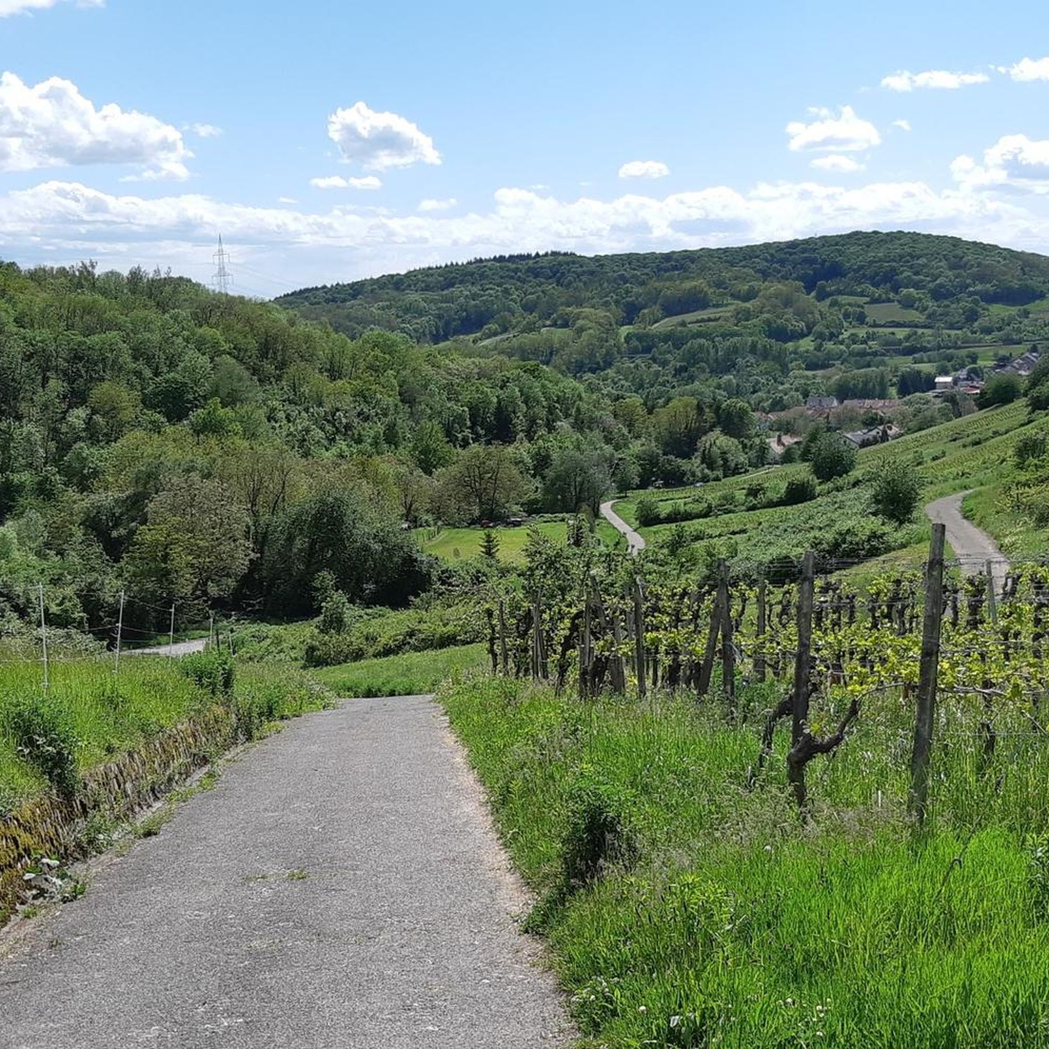
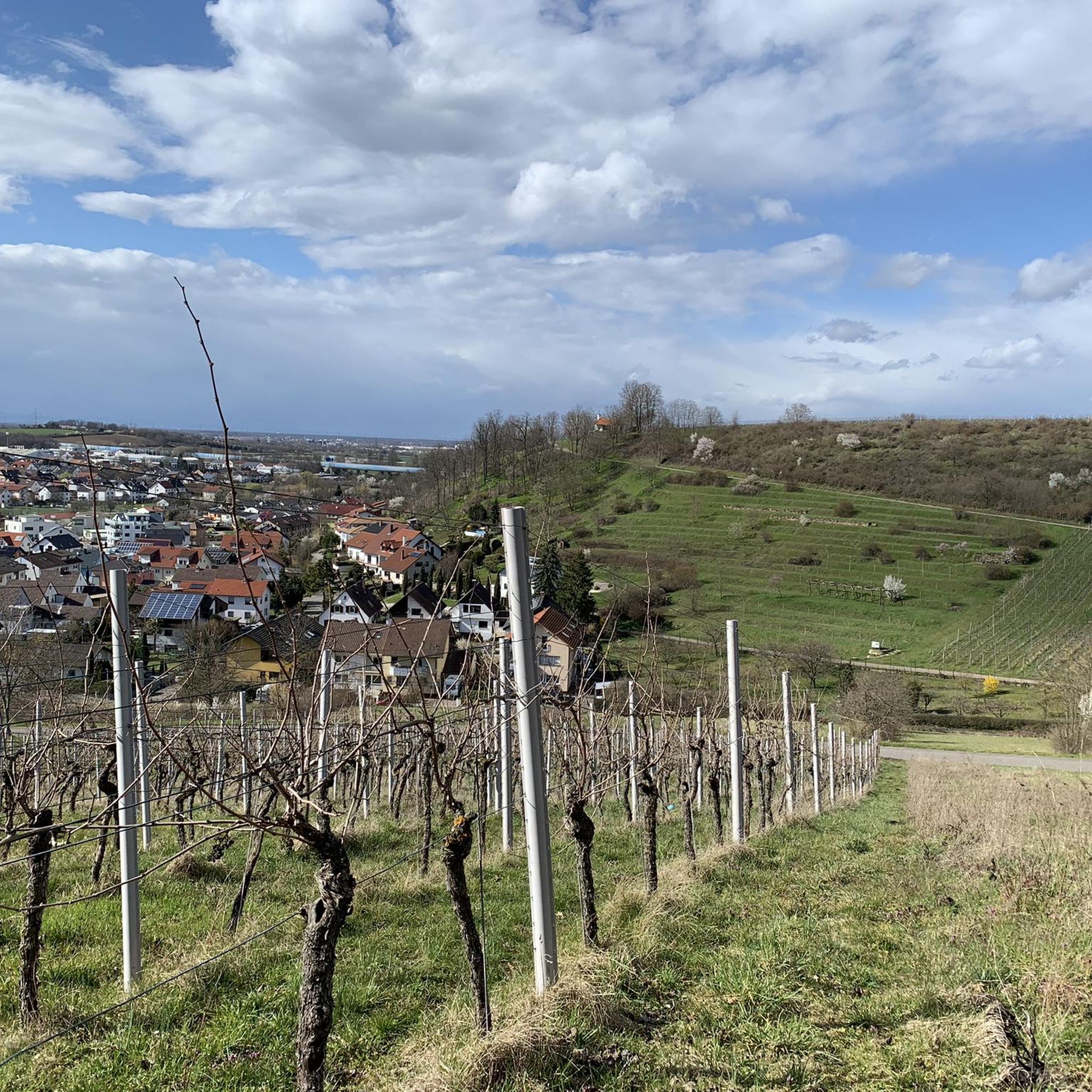
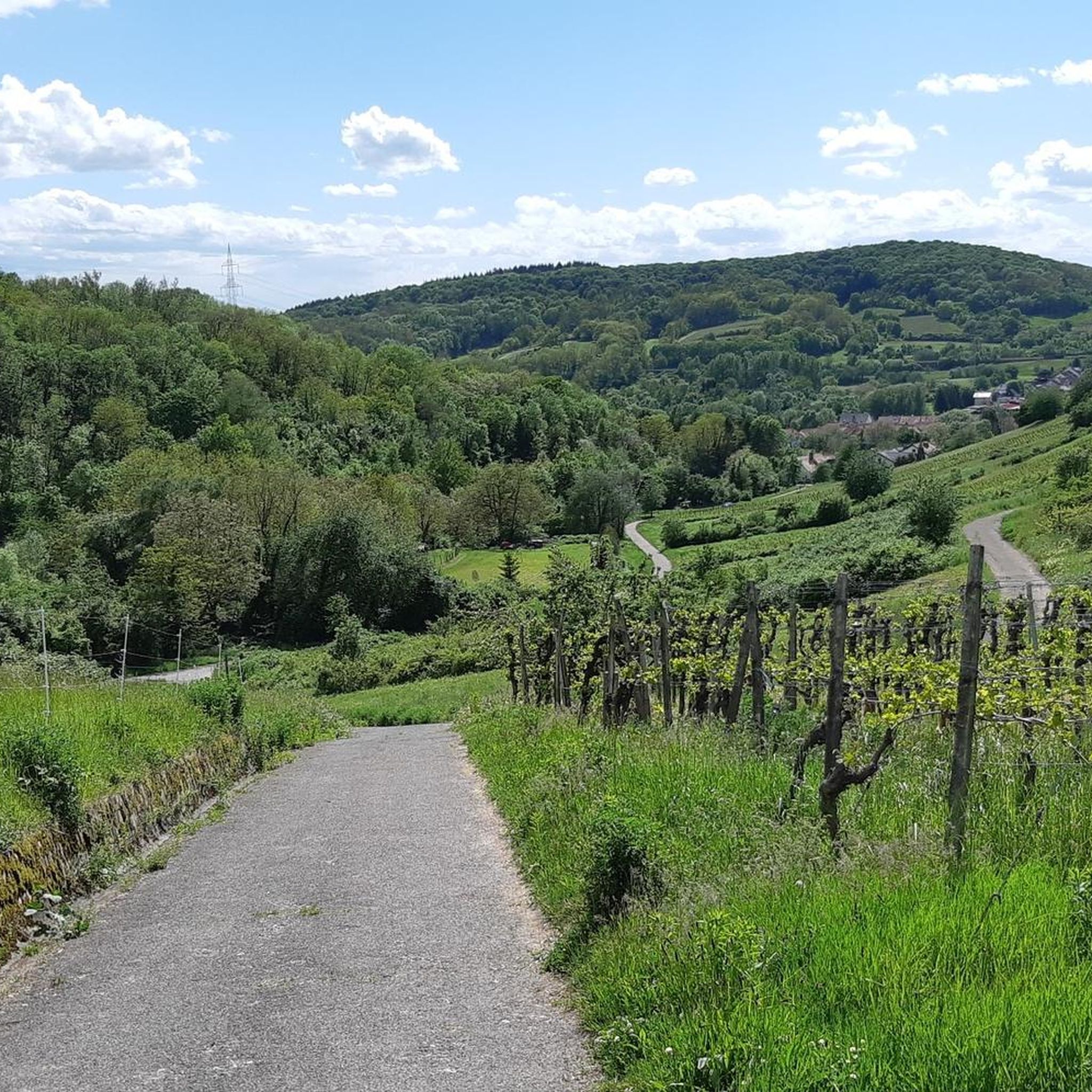
Gravel biking around Rauenberg offers diverse landscapes, characterized by a blend of vineyards and extensive forests within the Kraichgau region. The terrain features varied elevations, providing both challenging climbs and scenic routes. Many paths include passages with loose ground, making them suitable for gravel bikes, alongside predominantly paved sections. The region's natural features, such as the Neckar and Kraichbach rivers and various nature reserves, contribute to a rich cycling environment.
Best gravel bike trails around Rauenberg
- The most popular gravel…
Last updated: July 2, 2026
4.4
(9)
67
riders
37.4km
02:16
560m
560m
Hard gravel ride. Very good fitness required. Mostly paved surfaces. Suitable for all skill levels.
5.0
(6)
33
riders
52.4km
03:08
660m
660m
Hard gravel ride. Very good fitness required. Mostly paved surfaces. Suitable for all skill levels.

Sign up for free
17
riders
37.2km
02:16
560m
560m
Hard gravel ride. Very good fitness required. Mostly paved surfaces. Suitable for all skill levels.
5.0
(1)
26
riders
45.5km
02:55
820m
820m
Hard gravel ride. Very good fitness required. Mostly paved surfaces. Suitable for all skill levels.
4.7
(6)
23
riders
Hard gravel ride. Very good fitness required. Mostly paved surfaces. Suitable for all skill levels.
Get access to more routes and recommendations from other explorers.
Sign up for free
Already have an account?
Our route recommendations are based on thousands of hikes, rides, and runs completed by other people on komoot.
Start today with a free account
Your next adventure awaits.
Login or Signup
Tips from the Community

A lovely dedicated cycle path winding through the Sauerwiesen nature reserve. Flat, smooth, and traffic-free — one of the nicest stretches on the route.
0
0

The entrance to Heidelberg's Old Town
0
0

There's currently some pretty rough rock on the path up there. Be careful when going downhill! Riding up is also a challenge with the rough rocks...
0
0

Cool place, lots of people just drive past..
0
0
Many beautiful paths in every direction.
0
0

The Leopoldstein, located in Heidelberg's city forest, is a historical memorial stone dating back to 1851. The monument commemorates Charles I Frederick Leopold, Grand Duke of Baden, who assumed the reins of government of the Duchy of Baden in 1830 as the fourth Grand Duke. The monument, once 2.5 m high, was damaged in the 1950s. Location The memorial stone for the Grand Duke is located on the Höhenweg, approximately 450 m south of the Haus der Astronomie educational institution, immediately at a star-shaped fork in the path that leads in seven different directions through Heidelberg's city forest. All hiking trails are marked on site by historical signposts. (Source: https://www.wikiwand.com/de/articles/Leopoldstein_(Heidelberg)
1
0

A great cycle path through the forest towards Lingental.
1
0
Frequently Asked Questions
How many gravel bike trails are available around Rauenberg?
There are over 130 gravel bike trails around Rauenberg, offering a wide range of options for different skill levels. You'll find 19 easy routes, 67 moderate trails, and 50 more challenging, difficult paths to explore.
What do other gravel bikers say about the trails in Rauenberg?
The gravel biking routes in Rauenberg are highly rated by the komoot community, with an average score of 4.5 stars from over 70 reviews. Many riders praise the diverse landscapes, including vineyards and forests, and the varied terrain that makes for an engaging ride.
What kind of terrain can I expect on Rauenberg's gravel bike trails?
Rauenberg's gravel bike trails feature a mix of terrain, ideal for gravel bikes. You'll encounter predominantly paved sections, especially through vineyards, but also passages with loose ground and varied elevations. The region's location within the Kraichgau ensures a richly structured landscape with both challenging climbs and scenic descents.
Are there any circular gravel bike routes in the Rauenberg area?
Yes, many of the gravel bike routes around Rauenberg are designed as loops. For example, the difficult Posseltlust Tower – View of Nußloch Quarry loop from Wiesloch offers a substantial ride of over 45 km, providing a comprehensive tour of the local landscape.
What natural features or landmarks can I see along the gravel bike trails?
Rauenberg's trails offer access to several natural highlights. You can cycle through the beautiful Wagbachniederung Nature Reserve, known for its rare animal species and migratory birds, or enjoy the serene Lake Pfannwald, which features a Kneipp facility and a forest playground. The Leimbach Cycle Path also takes you through the scenic Sauerwiesen-Fuchsloch Conservation Area.
Are there any huts or places to rest along the routes?
Yes, you'll find several huts and rest areas. The Hirschplatz Hut – Kraichgau Viewpoint loop from Wiesloch-Walldorf, for instance, passes by the Hirschplatz Hut. Other options include the Hirschgrund Hut and the Kalkofenhütte, providing convenient spots for a break.
What is the best time of year for gravel biking in Rauenberg?
The region is enjoyable for gravel biking throughout much of the year. Spring and autumn offer pleasant temperatures and beautiful scenery, especially with the changing colors of the vineyards and forests. Summer can also be great, with shaded forest paths providing relief from the heat. Winter conditions might include colder temperatures and potentially some snow or ice, so check local forecasts.
Are there any family-friendly gravel biking options in Rauenberg?
While many routes are rated moderate to difficult, some sections and paths are suitable for families. The Leimbach Cycle Path, for example, offers a pleasant experience through meadows and shaded areas away from road traffic. The area around Lake Pfannwald also features a forest playground, making it a good destination for a family outing.
Where can I find parking for gravel biking in Rauenberg?
Parking is generally available in and around Rauenberg, particularly in the larger towns like Wiesloch-Walldorf, which serve as common starting points for many routes. Specific parking information for individual trailheads can often be found on komoot tour pages or local tourist information sites.
Can I reach the gravel biking areas by public transport with my bike?
Rauenberg is located within the Rhein-Neckar-Kreis, which has a public transport network. While specific rules for bike transport vary by service (train, bus), it's often possible to take bikes on regional trains during off-peak hours. It's advisable to check the local public transport provider's website for current regulations and schedules regarding bicycle carriage.
Are there any long-distance gravel routes or connections to other regions?
Rauenberg's location makes it a good starting point for longer excursions. The region is well-connected to extensive cycling networks, and you can find routes that lead towards Heidelberg through well-maintained forest paths. Its proximity to the Odenwald and Pfälzer Wald also opens up possibilities for multi-day tours or longer rides into these larger natural areas.
What is the longest gravel bike trail available in the area?
One of the longer and more challenging routes is the difficult Lobenfeld Abbey Church – Lobenfeld Monastery loop from Dielheim, which covers nearly 70 km (69.7 km) and involves significant elevation gain, typically taking around 4 hours and 45 minutes to complete.
Most popular attractions around Rauenberg

Get inspired with the komoot mobile app


Explore more
Browse the best Gravel rides in other regions.
