The best gravel rides around Ringsheim
4.7
(57)
352
riders
50
rides
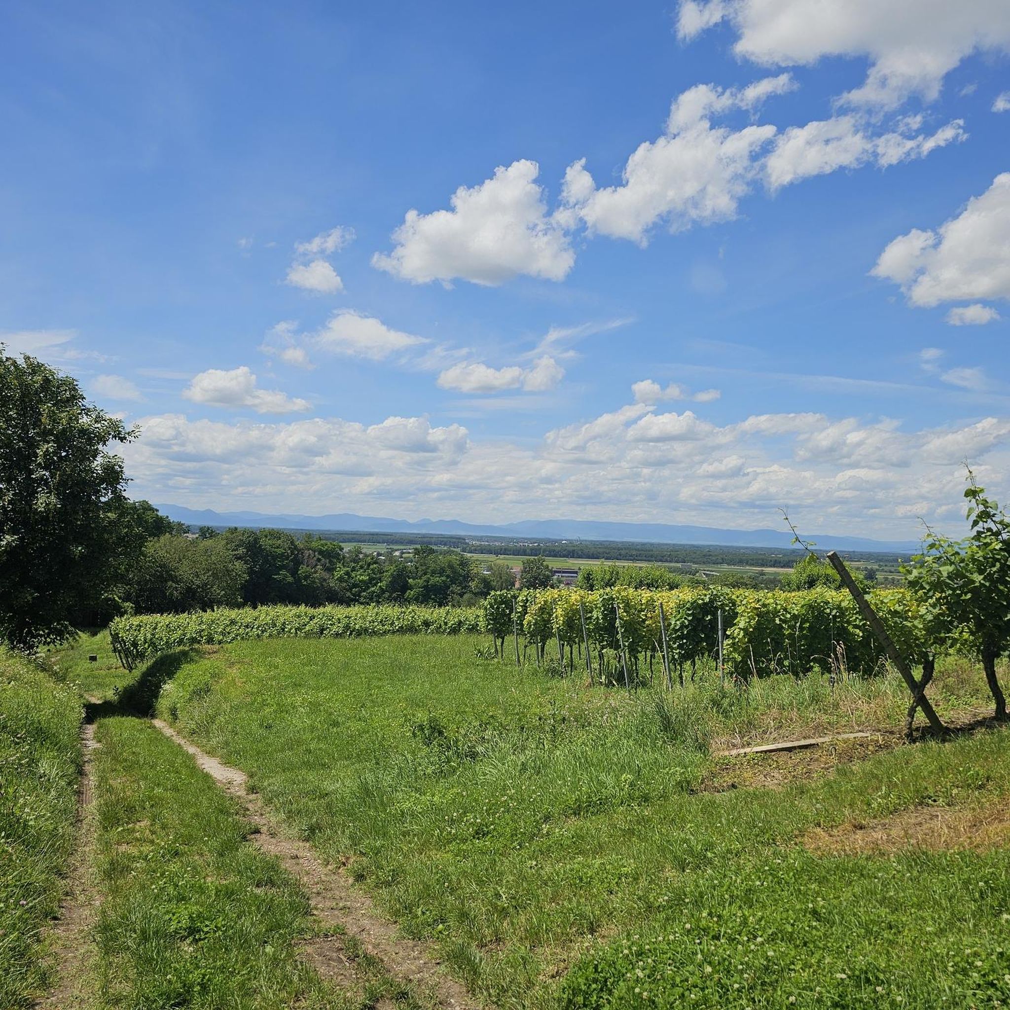
Gravel biking around Ringsheim offers routes through diverse landscapes, characterized by the Rhine plain, Black Forest foothills, and the Taubergießen River Landscape. The region features trails along the Rhine river and through the Wittelbach Valley, providing views of natural areas and agricultural fields. Elevation changes are generally gentle, with some routes including moderate climbs through valleys and forested sections.
Best gravel bike trails around Ringsheim
- The most popular gravel bike trail is Taubergießen River Landscape – Taubergießen Floodplain loop from…
Last updated: October 6, 2026
4.6
(5)
49
riders
Hard gravel ride. Very good fitness required. You may need to push your bike for some segments of this route.
5.0
(1)
19
riders
Easy gravel ride. Great for any fitness level. Mostly paved surfaces. Suitable for all skill levels.

5.0
(1)
6
riders
Easy gravel ride. Great for any fitness level. Mostly paved surfaces. Suitable for all skill levels.
8
riders
41.1km
02:15
70m
70m
Moderate gravel ride. Good fitness required. Mostly paved surfaces. Suitable for all skill levels.
4.8
(4)
15
riders
Hard gravel ride. Good fitness required. You may need to push your bike for some segments of this route.
Get access to more routes and recommendations from other explorers.
Already have an account?
Our route recommendations are based on thousands of hikes, rides, and runs completed by other people on komoot.
Start today with a free account
Your next adventure awaits.
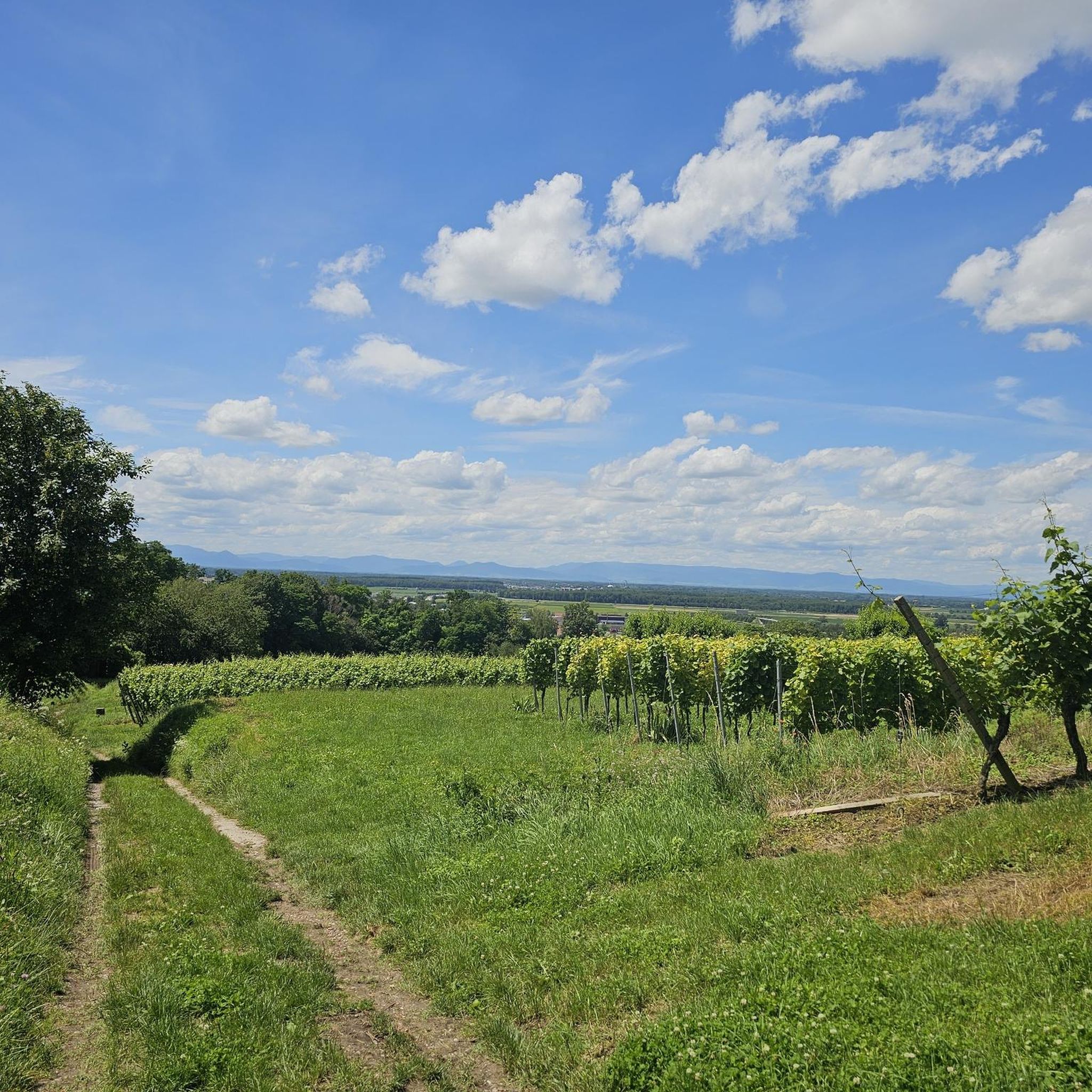
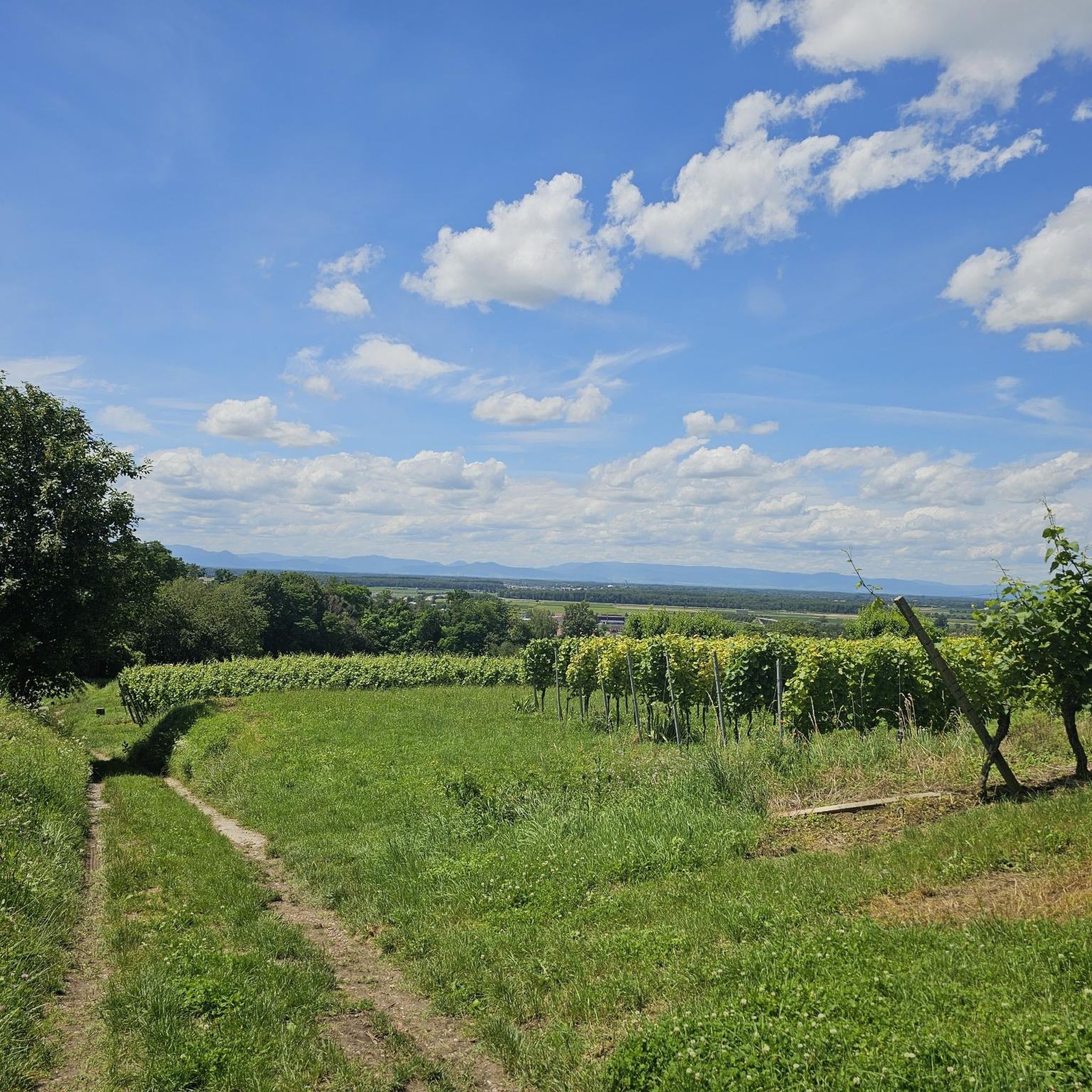
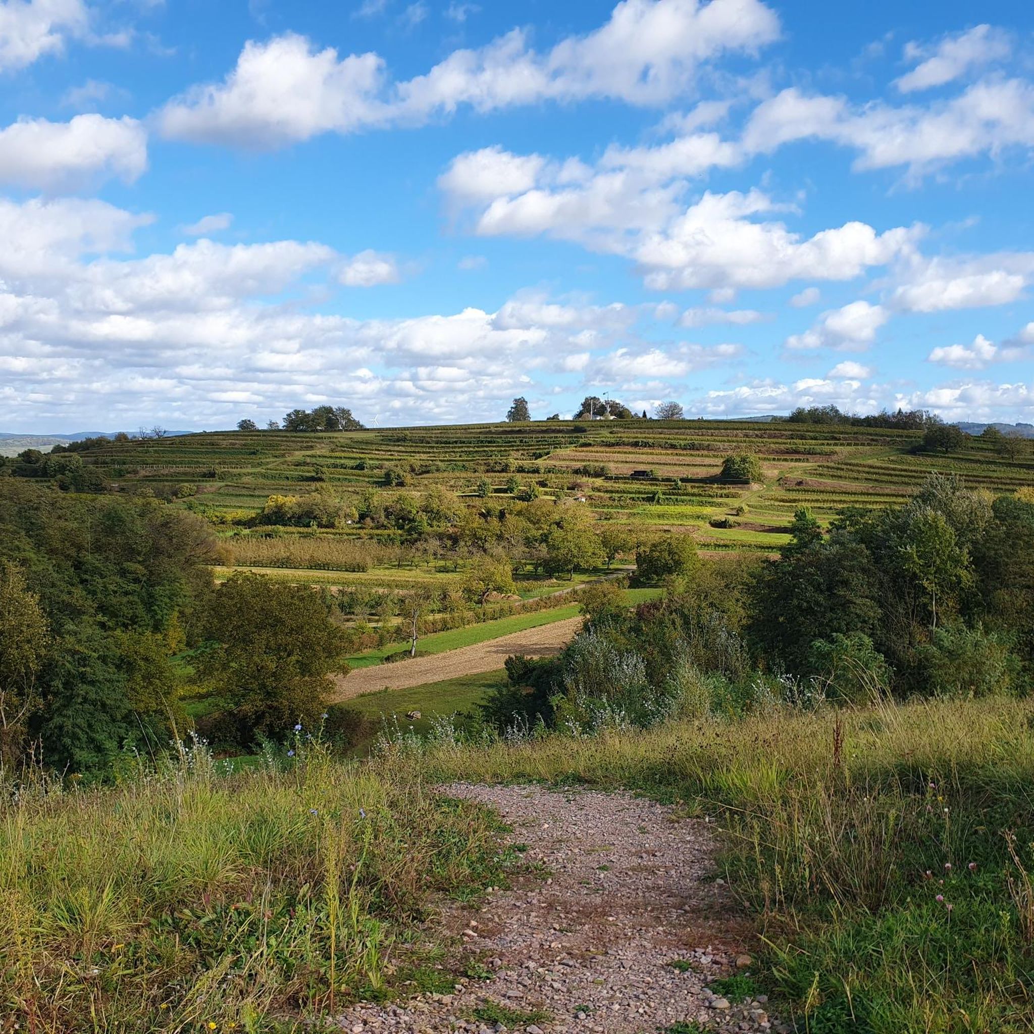
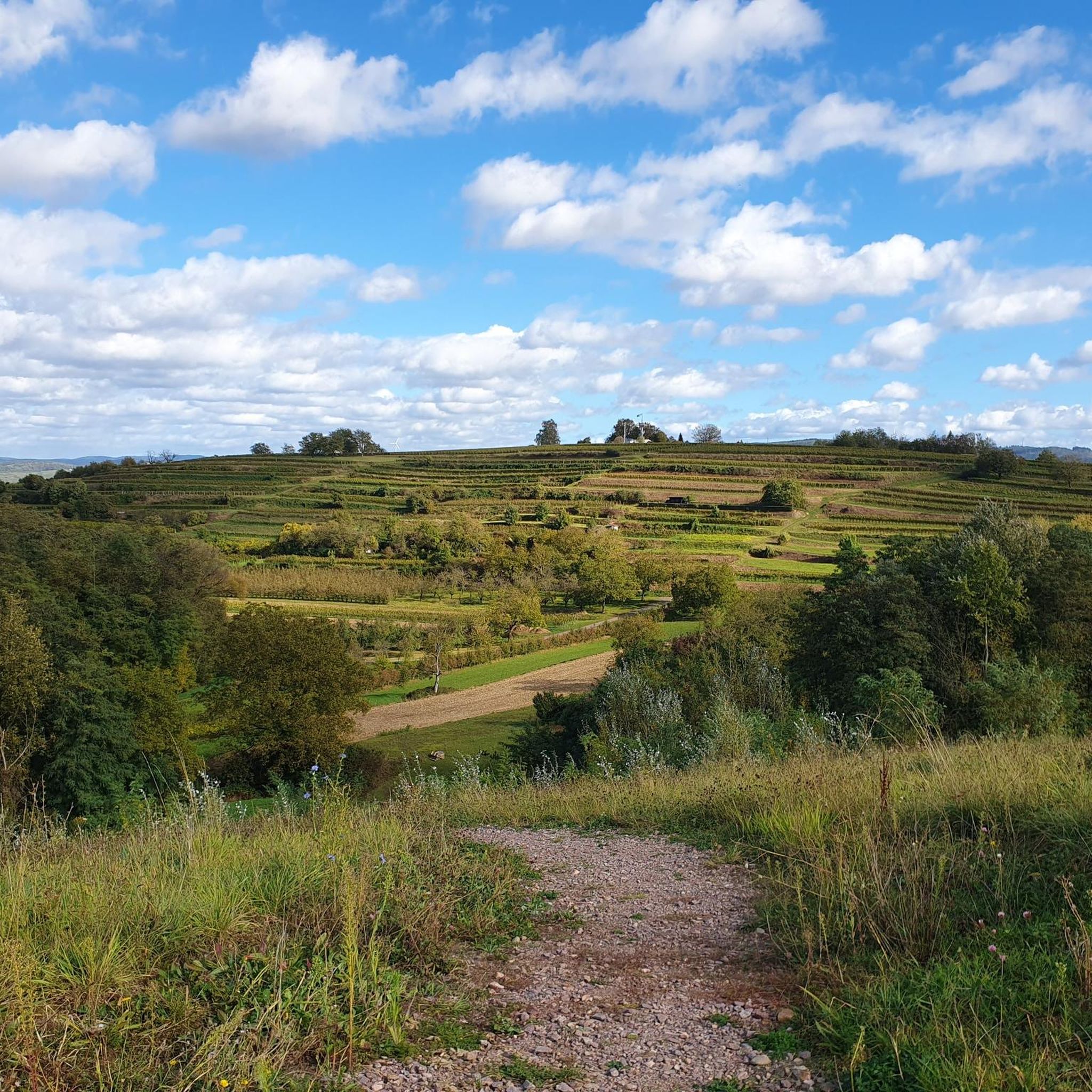
Tips from the Community


An absolute natural idyll. Absolutely beautiful!!
1
0

Here you leave the long island and are, so to speak, on the French mainland.
0
0
Locks are always interesting, especially when they're still working.
0
0
This way leads over to France - for cyclists only.
0
0
You drive through the deepest part of the Taubergießen nature reserve, and suddenly you're in a very idyllic place 😁
0
0
Leisurely cycling, watching "Schiffle" 🤪
0
0
It's simply wonderful to sit here "on the beach" on sunny days 😉
1
0
Frequently Asked Questions
How many gravel bike trails are available in Ringsheim?
Ringsheim offers a wide selection of gravel bike trails, with a total of 72 routes. This includes 12 easy, 39 moderate, and 21 difficult trails, catering to various skill levels.
Are there easy gravel bike trails suitable for beginners in Ringsheim?
Yes, Ringsheim has 12 easy gravel bike trails perfect for beginners or those looking for a relaxed ride. An example is the Taubergießen Floodplain loop from Panoramabahn Bahnhof "Deutschland", which offers gentle terrain through the river landscape.
What options are there for challenging gravel bike rides in Ringsheim?
For experienced riders seeking a challenge, Ringsheim features 21 difficult gravel bike routes. A notable option is the Wittelbach Valley – Glatze-Mühle on the Entenwägli loop from Orschweier, which navigates varied terrain and includes significant elevation gain.
Are most gravel bike trails in Ringsheim circular?
Many of the gravel bike trails in Ringsheim are designed as loops, allowing you to start and end at the same point. Examples include the Taubergießen River Landscape – Rheinauen Wilderness Trail loop and the View of the Rhine – Rhinau–Kappel Ferry loop.
What kind of landscapes can I expect to see while gravel biking in Ringsheim?
Gravel biking in Ringsheim primarily takes you through the diverse Taubergießen River Landscape and its floodplains, as well as the Wittelbach Valley. You'll find trails along the Rhine river, offering views of natural areas and gentle elevation changes.
Are there any scenic viewpoints or natural attractions along the gravel bike routes?
Yes, the region is rich in natural beauty. Along your rides, you might encounter highlights like the expansive Taubergießen Floodplain or the serene Lake Stegmatten. Many routes offer picturesque views of the Rhine river landscape.
Can I access gravel bike trails in Ringsheim using public transport?
Some routes, like the Taubergießen River Landscape – Rheinauen Wilderness Trail loop, start from locations such as Panoramabahn Bahnhof "Deutschland," suggesting public transport accessibility to certain trailheads. It's advisable to check local public transport schedules for specific starting points.
When is the best time of year to go gravel biking in Ringsheim?
Given the region's river landscapes and floodplains, spring, summer, and early autumn generally offer the most favorable conditions for gravel biking in Ringsheim. These seasons provide pleasant weather and minimize the risk of trails being affected by high water levels.
What do other gravel bikers enjoy most about the trails in Ringsheim?
The komoot community highly rates the gravel biking experience in Ringsheim, with an average score of 4.8 stars from over 50 reviews. Riders often praise the diverse riverine wilderness, the varied terrain of the Wittelbach Valley, and the scenic views along the Rhine.
Are there long-distance gravel biking options in Ringsheim?
For those seeking longer adventures, Ringsheim offers extensive routes. The Taubergießen River Landscape – Rheinauen Wilderness Trail loop is a significant long-distance option, covering nearly 96 miles (154 km) and exploring the vast riverine wilderness.
Are the gravel bike trails in Ringsheim suitable for families?
While specific 'family-friendly' designations are not always explicit, the 12 easy routes in Ringsheim, often characterized by gentle terrain through river landscapes, can be suitable for families with older children or those comfortable with longer distances. Always check individual route details for suitability.
Are there any bike parks or dedicated mountain biking trails near Ringsheim?
Yes, for those interested in more technical riding, there are several bike parks and trails nearby. You can explore options like the Singletrack trail with ramps – Naturpark Südschwarzwald or the Schindelweg Flow Trail, which are part of the wider network of bike parks around Ringsheim.
Most popular attractions around Ringsheim

Get inspired with the komoot mobile app


Explore more
Browse the best Gravel rides in other regions.
