The best gravel rides around Malsfeld
4.4
(20)
94
riders
35
rides
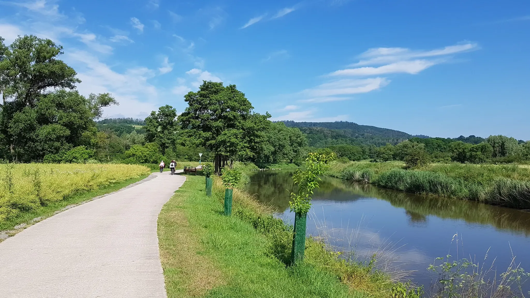
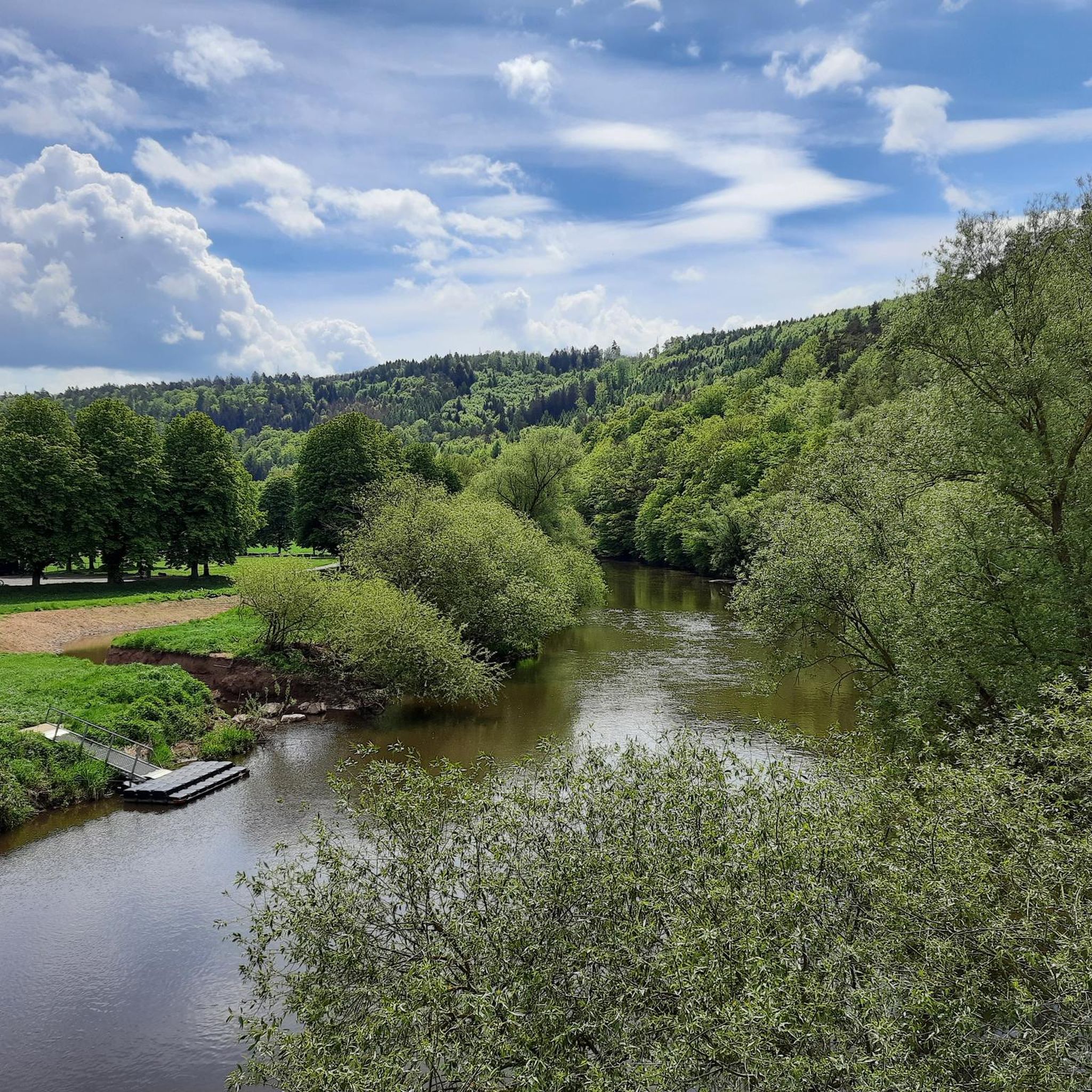
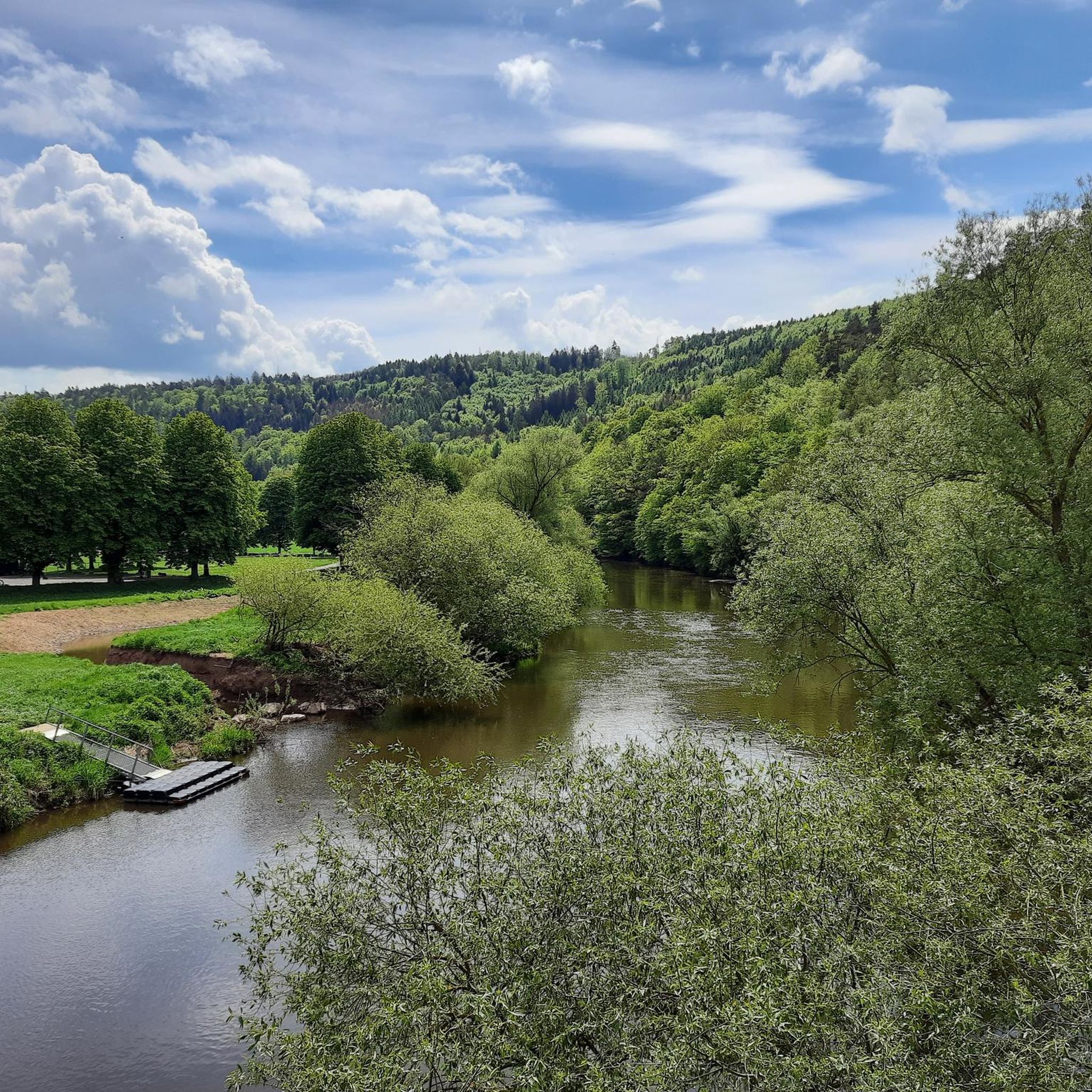
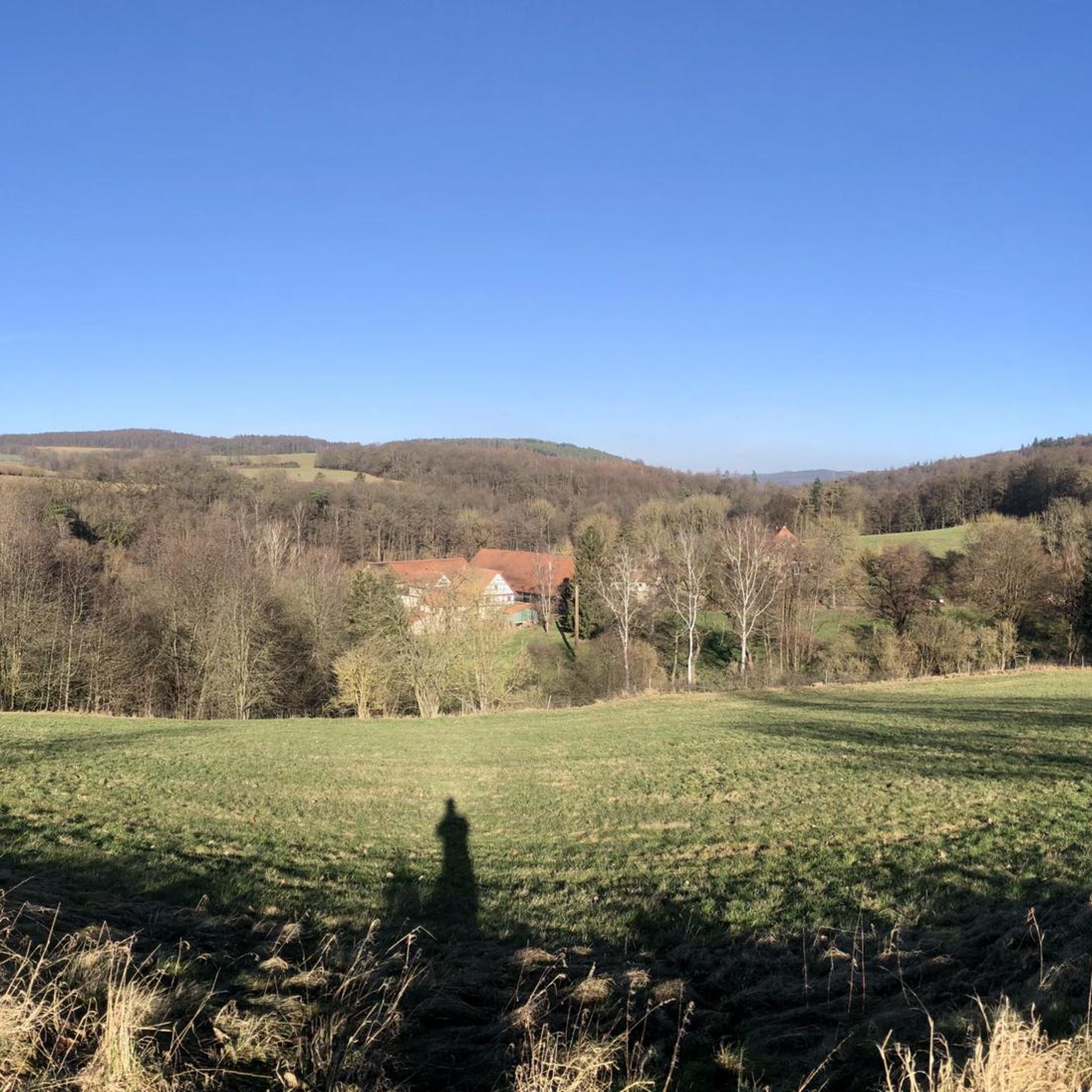
Gravel biking around Malsfeld offers a diverse landscape characterized by rolling hills, river valleys, and forested areas. The region, situated between the Fulda and Eder rivers, features a mix of paved and unpaved paths, providing varied terrain for gravel cyclists. Routes often pass by historical sites and natural landmarks, including the Edersee and local castles. The elevation changes across the area range from gentle inclines to more challenging climbs, catering to different skill levels.
Best gravel bike trails around Malsfeld
…Last updated: July 3, 2026
4.0
(2)
10
riders
32.5km
02:06
550m
550m
Hard gravel ride. Very good fitness required. Mostly paved surfaces. Suitable for all skill levels.
5.0
(7)
48
riders
124km
06:59
850m
850m
Hard gravel ride. Very good fitness required. Mostly paved surfaces. Suitable for all skill levels.

Sign up for free
3
riders
25.0km
01:55
490m
490m
Hard gravel ride. Very good fitness required. Mostly paved surfaces. Suitable for all skill levels.
4.8
(4)
7
riders
22.8km
01:26
320m
320m
Moderate gravel ride. Good fitness required. Mostly paved surfaces. Suitable for all skill levels.
5.0
(1)
5
riders
33.0km
02:13
610m
610m
Hard gravel ride. Very good fitness required. Mostly paved surfaces. Suitable for all skill levels.
Get access to more routes and recommendations from other explorers.
Sign up for free
Already have an account?
Our route recommendations are based on thousands of hikes, rides, and runs completed by other people on komoot.
Start today with a free account
Your next adventure awaits.
Login or Signup
Other adventures around Malsfeld

Tips from the Community

The Edersee is one of the largest dams in Germany. The namesake is the Fuldazufluss Eder, which comes from the Rothaargebirge from the west and fills the reservoir in the North Hessian Bergland near Korbach.
0
0


Hiking car park, rest area and the border between Schwalm-Eder district and Werra-Meißner district
2
0
Hiking car park, rest area and the border between Schwalm-Eder district and Werra-Meißner district
2
0


To the right of the Carl Braun Hut, near the bench, a steep trail winds through the forest, amidst leaves and branches. If you don't stray from the trail (like I did 🙈), you'll emerge above the ICE bridge near Adelshausen.
3
0

The square where the bench is located is called Im Neuendorf - with a beautiful view of Spangenberg!
0
0

Elevation between Hess. Lichtenau and Günsterode
0
0
Frequently Asked Questions
How many gravel bike trails are available in Malsfeld?
Malsfeld offers a wide selection of gravel bike trails, with over 60 routes to explore. These routes cater to various skill levels, from easy scenic rides to challenging long-distance tours.
Are there gravel routes suitable for beginners in Malsfeld?
Yes, Malsfeld has several easy gravel routes perfect for beginners. One such option is the Böddiger – View of Altenburg Castle loop from Felsberg-Gensungen, which is 17.5 miles (28.2 km) long and features minimal elevation gain, offering a pleasant ride with views of Altenburg Castle.
What kind of terrain can I expect on Malsfeld's gravel trails?
The gravel trails around Malsfeld are characterized by diverse terrain, including rolling hills, picturesque river valleys, and extensive forested areas. You'll encounter a mix of paved and unpaved paths, providing varied surfaces for gravel cycling.
Are there any challenging gravel bike routes for experienced riders?
Absolutely. Malsfeld offers numerous difficult routes for advanced gravel bikers. A notable example is the Toni's Rest – Carl Braun Hut loop from Melsungen-Bartenwetzerbrücke, a 20.2 miles (32.5 km) path with significant elevation changes, leading through varied terrain to a popular hut.
What historical sites or landmarks can I see along the gravel bike trails?
Many gravel routes in Malsfeld pass by historical sites and natural landmarks. You can explore areas near the historic Haydau Monastery, or catch views of the Altenburg Castle ruins. The region also features several other castles like Felsburg Castle and Spangenberg Castle, which are often accessible from nearby trails.
Are there any loop trails for gravel biking in Malsfeld?
Yes, many gravel bike routes in Malsfeld are designed as loops, allowing you to start and end at the same point. For instance, the Haydau Monastery loop from Wichte is a popular 23.8 miles (38.3 km) circular route.
What is the best time of year for gravel biking in Malsfeld?
Spring and autumn are generally ideal for gravel biking in Malsfeld, offering pleasant temperatures and beautiful scenery as the landscape changes. Summer can also be great, especially for rides along river valleys, while winter conditions can vary, potentially bringing snow or ice on higher trails.
Are there places to eat or cafes along the gravel bike routes?
Yes, some routes pass by villages or points of interest where you might find cafes or restaurants. For example, the Toni's Rest – Carl Braun Hut loop specifically mentions a popular hut, suggesting a place for refreshments. It's always a good idea to check the route details for specific amenities.
Can I access Malsfeld's gravel trails using public transport?
Malsfeld and its surrounding towns are generally well-connected by regional public transport, including train and bus services. Many routes start near train stations or bus stops, making it feasible to reach the trailheads without a car. We recommend checking local transport schedules for specific starting points.
What do other gravel bikers enjoy most about Malsfeld?
The gravel biking experience in Malsfeld is highly rated by the komoot community, with an average score of 4.8 stars. Reviewers often praise the diverse landscape, the mix of challenging and easy routes, and the opportunity to explore historical sites and natural beauty like the Edersee.
Are there any routes that offer views of lakes or water bodies?
Yes, the region is known for its proximity to water bodies. The extensive View of the Edersee "Atlantis" ruins – Eder dam loop offers spectacular views of the Edersee and its historical ruins. You can also find other lakes in the wider area, such as Singliser See and Grüner See.
Most popular attractions around Malsfeld

Get inspired with the komoot mobile app


Explore more
Browse the best Gravel rides in other regions.
