The best gravel rides around Körle
4.3
(36)
170
riders
54
rides
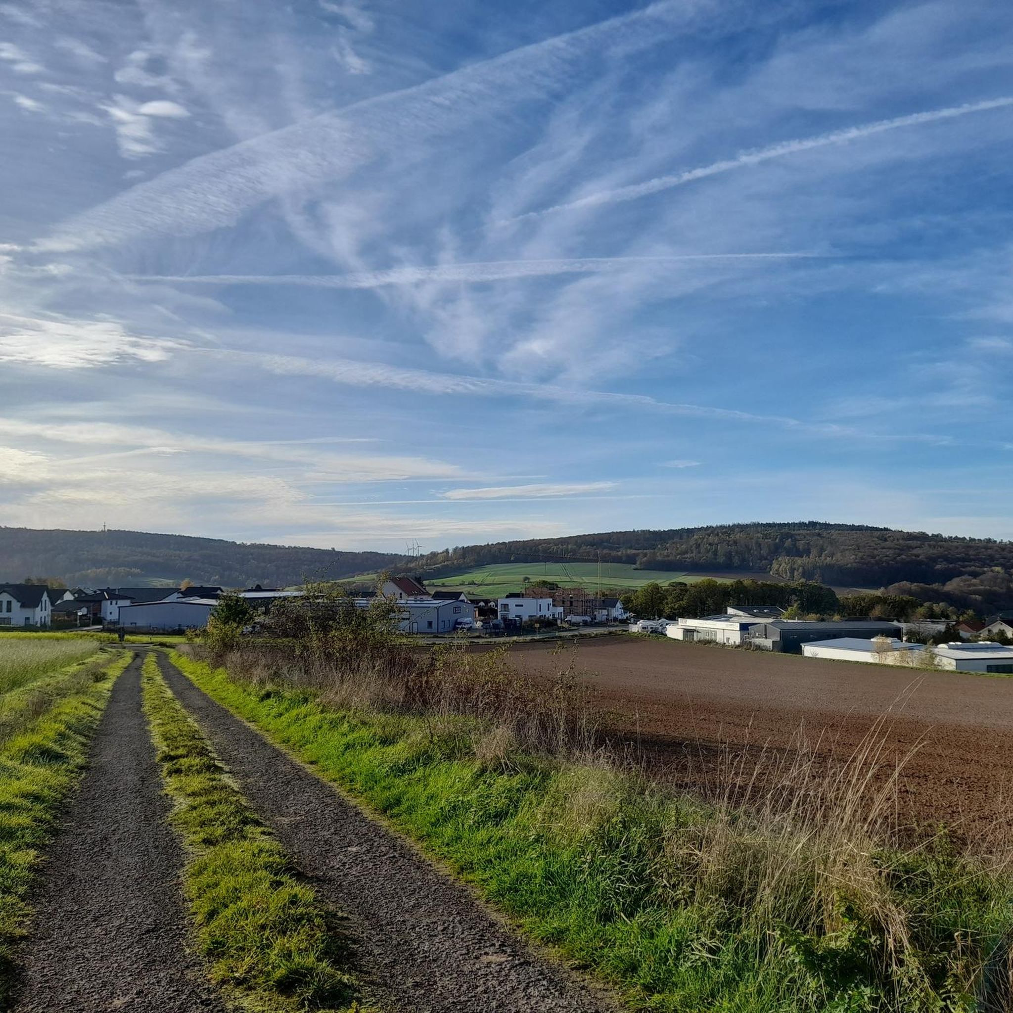
Gravel biking around Körle offers a diverse landscape characterized by river valleys, rolling hills, and forested sections. The region features routes that traverse along the Eder and Fulda rivers, providing varied terrain for gravel cyclists. Elevations include areas like the Günsteröder Heights, contributing to the dynamic nature of the trails. This area provides a mix of natural and cultural points of interest suitable for gravel exploration.
Best gravel bike trails around Körle
- The most popular gravel bike trail is View…
Last updated: June 25, 2026
4.0
(2)
13
riders
40.1km
02:30
660m
660m
Hard gravel ride. Very good fitness required. Mostly paved surfaces. Suitable for all skill levels.
4.0
(2)
10
riders
32.5km
02:06
550m
550m
Hard gravel ride. Very good fitness required. Mostly paved surfaces. Suitable for all skill levels.

Sign up for free
5.0
(7)
48
riders
124km
06:59
850m
850m
Hard gravel ride. Very good fitness required. Mostly paved surfaces. Suitable for all skill levels.
4.5
(2)
5
riders
18.3km
01:09
290m
290m
Moderate gravel ride. Good fitness required. Mostly paved surfaces. Suitable for all skill levels.
4.8
(4)
7
riders
22.8km
01:26
320m
320m
Moderate gravel ride. Good fitness required. Mostly paved surfaces. Suitable for all skill levels.
Get access to more routes and recommendations from other explorers.
Sign up for free
Already have an account?
Our route recommendations are based on thousands of hikes, rides, and runs completed by other people on komoot.
Start today with a free account
Your next adventure awaits.
Login or Signup
Tips from the Community

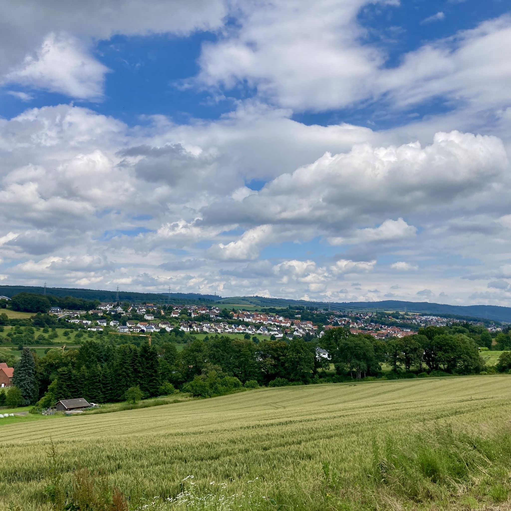
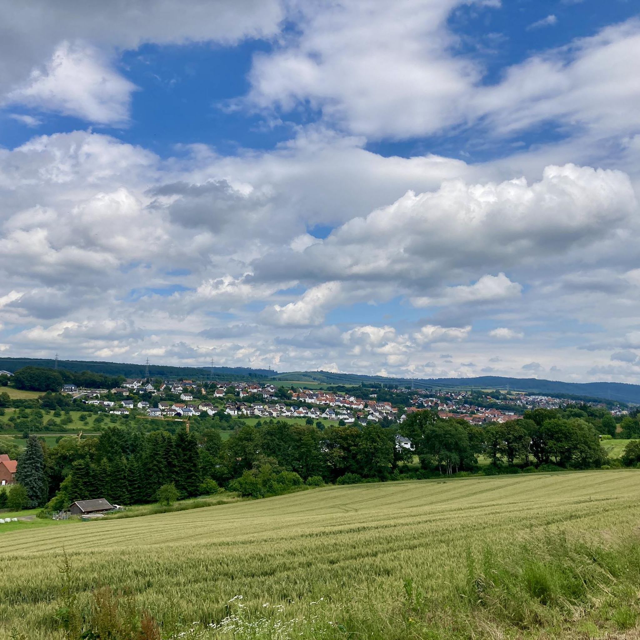
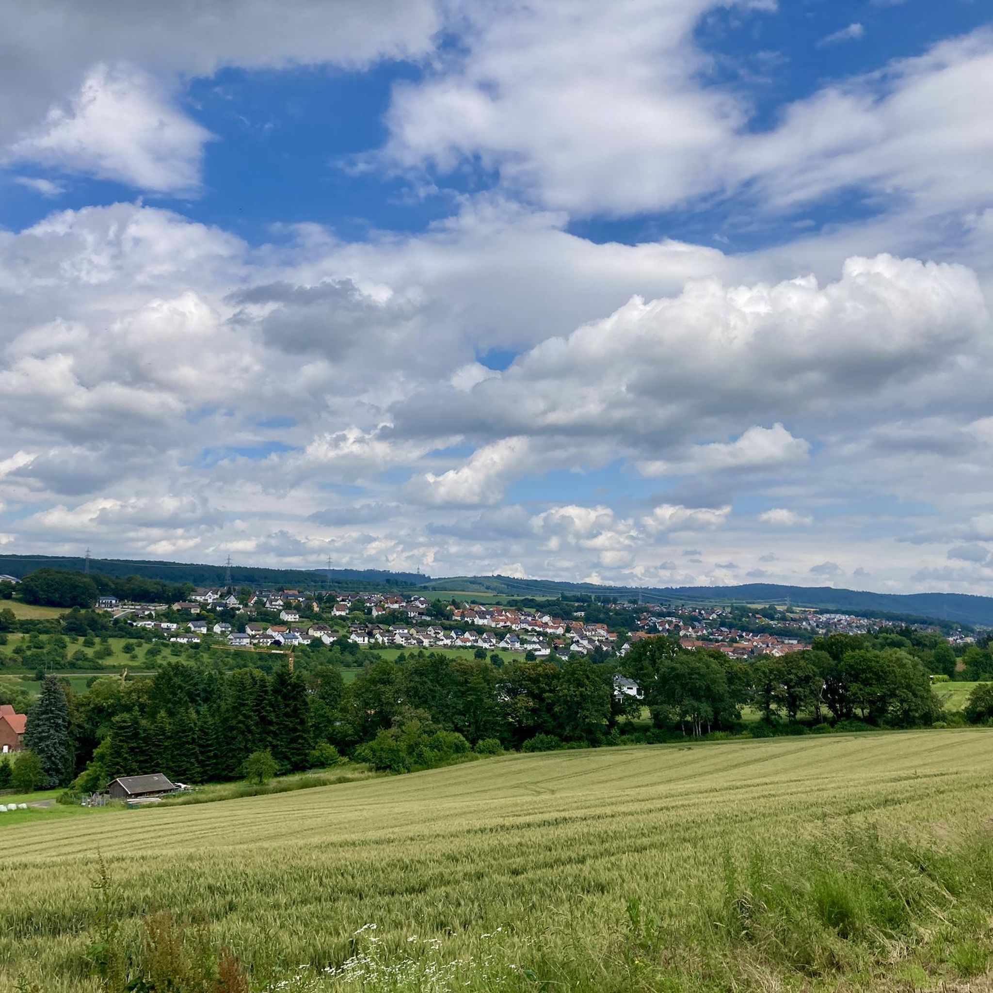
Shelter at a prominent crossroads - nearby you have a beautiful view all the way to Lower Saxony
0
0
next door a large hiking parking lot with many circular hiking trails
0
0

The Edersee is one of the largest dams in Germany. The namesake is the Fuldazufluss Eder, which comes from the Rothaargebirge from the west and fills the reservoir in the North Hessian Bergland near Korbach.
0
0

It is located directly at a crossroads.
0
0

Hiking car park, rest area and the border between Schwalm-Eder district and Werra-Meißner district
2
0
Hiking car park, rest area and the border between Schwalm-Eder district and Werra-Meißner district
2
0
Even though the transmitter has little significance anymore, it is a prominent waypoint that is clearly visible from a distance.
1
0

Shelter - Nice place to rest
1
0
Frequently Asked Questions
How many gravel bike trails are available around Körle?
There are over 120 gravel bike routes in the Körle region, offering a wide variety of options for different skill levels. This includes 8 easy routes, 50 moderate routes, and 66 challenging trails.
Are there any easy or beginner-friendly gravel bike trails in Körle?
Yes, Körle offers 8 easy gravel bike routes suitable for beginners or those looking for a more relaxed ride. These trails typically feature less elevation and smoother terrain, often following river valleys.
What are the typical distances and elevations for gravel bike trails in Körle?
Gravel bike trails around Körle vary significantly. You can find routes ranging from shorter distances, like the 20.2 miles (32.5 km) Toni's Rest – Carl Braun Hut loop from Melsungen-Bartenwetzerbrücke with around 547 meters of elevation gain, to longer rides such as the 46.3 miles (74.5 km) View of the Eder River – Covered Bridge Over the Fulda loop from Felsberg-Altenbrunslar, which includes about 555 meters of climbing.
Are there challenging gravel bike routes for experienced riders?
Absolutely. The Körle region features 66 difficult gravel bike routes. These often include more significant elevation changes, such as the 739 meters of ascent on the 49.1 miles (79.0 km) View of Lake Bugasee – Covered Bridge Over the Fulda loop from Guxhagen, and traverse varied terrain including rolling hills and forested sections.
What kind of scenery can I expect on gravel bike rides around Körle?
The landscape around Körle is diverse, characterized by picturesque river valleys along the Eder and Fulda, rolling hills, and extensive forested areas. Many routes offer scenic views, such as those along the Eder River or from elevated points like the Günsteröder Heights.
Are there any circular gravel bike routes in the area?
Yes, many of the gravel bike routes around Körle are designed as loops, allowing you to start and end in the same location. Examples include the Günsteröder Heights – Rest Area at Essebach Ford loop from Melsungen-Schwarzenberg and the Carl Braun Hut – Spangenberg Castle loop from Melsungen-Bartenwetzerbrücke.
What are some interesting landmarks or attractions to see along the gravel bike trails?
While gravel biking, you can encounter several points of interest. These include the Covered bridge over the Fulda near Dennhausen, the historic Melsungen Old Town, and the scenic Fulda River and the Bridges at Guntershausen. Some routes also pass through areas with unique natural features like the Singletrack trail in Geo-Naturpark Frau-Holle-Land.
Where can I find trailheads or starting points for gravel biking in Körle?
Many routes start from nearby towns and villages that offer convenient access. Popular starting points mentioned in routes include Felsberg-Altenbrunslar, Melsungen-Bartenwetzerbrücke, Melsungen-Schwarzenberg, and Guxhagen. These locations often provide parking options for cyclists.
What do other gravel bikers say about the trails in Körle?
The gravel biking routes in Körle are highly regarded by the komoot community, holding an average rating of 4.7 stars from over 180 reviews. Cyclists often praise the varied terrain, the scenic river views, and the well-maintained paths that cater to different skill levels.
Are there any specific viewpoints or scenic spots accessible by gravel bike?
Yes, several routes offer excellent viewpoints. For instance, the View of the Eder River – Covered Bridge Over the Fulda loop from Felsberg-Altenbrunslar provides extensive views of the Eder River. Other trails traverse the Günsteröder Heights, offering elevated perspectives of the surrounding landscape.
Can I find routes that combine natural beauty with cultural sites?
Absolutely. The region's gravel routes often blend natural beauty with cultural points of interest. For example, you can ride through forested sections and along rivers, while also passing through historic towns like Melsungen or near structures like the covered bridge over the Fulda.
Most popular attractions around Körle

Get inspired with the komoot mobile app


Explore more
Browse the best Gravel rides in other regions.
