The best gravel rides around Gilserberg
4.5
(10)
30
riders
17
rides
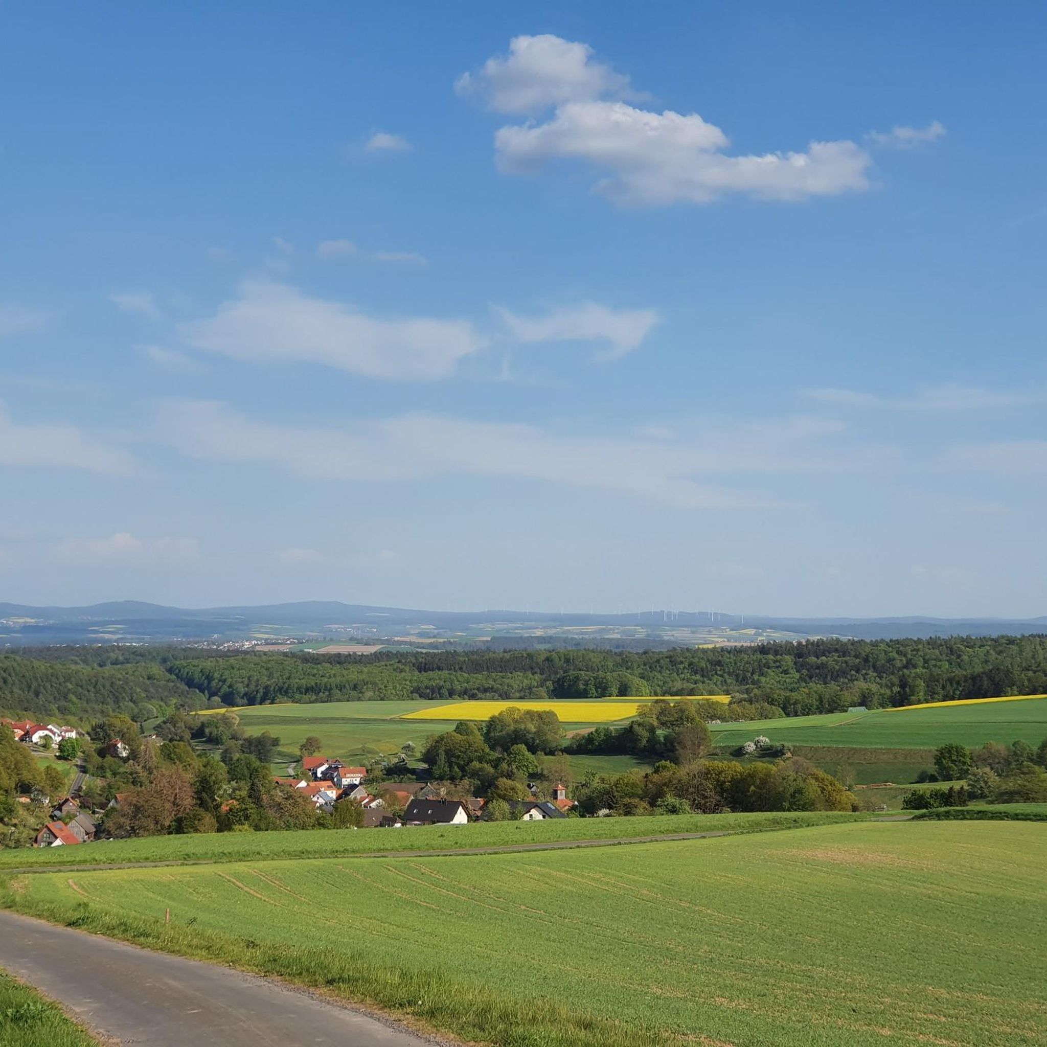
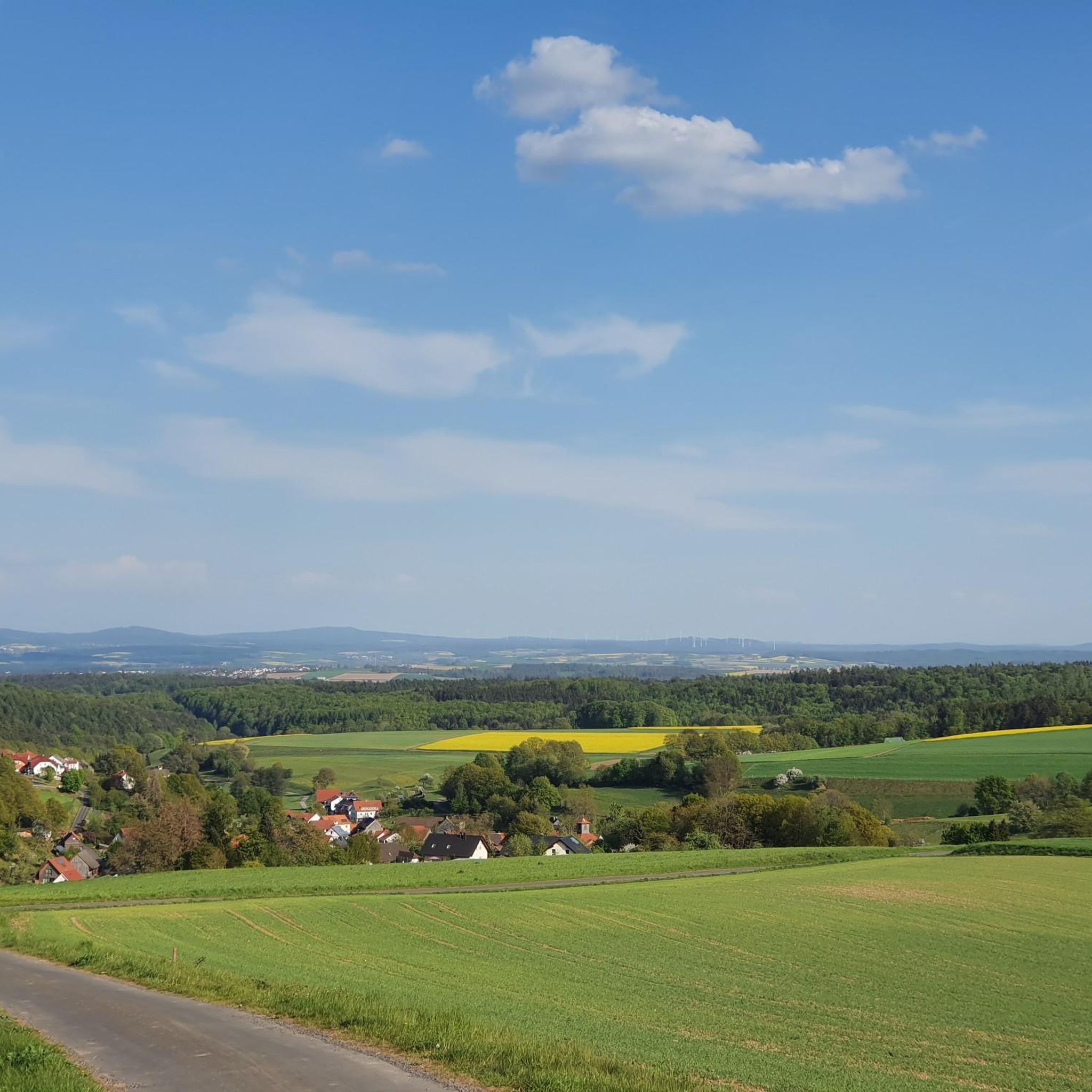
Gravel biking around Gilserberg offers routes through varied terrain, characterized by forests, rolling hills, and valleys. The region is situated near the Kellerwald-Edersee Nature Park, providing diverse ecosystems and extensive trail networks. Gravel routes Gilserberg often include sections near rivers like the Schwalm and Lahn, alongside areas with canals and retention basins. This landscape provides a mix of ascents, descents, and flatter sections suitable for gravel cycling.
Best gravel bike trails around Gilserberg
- The most popular gravel bike trail is…
Last updated: July 3, 2026
6
riders
34.0km
02:07
510m
510m
Hard gravel ride. Very good fitness required. Mostly paved surfaces. Suitable for all skill levels.
5.0
(1)
3
riders
38.5km
02:15
420m
420m
Moderate gravel ride. Good fitness required. Mostly paved surfaces. Suitable for all skill levels.

Sign up for free
3.9
(7)
7
riders
44.4km
02:36
370m
370m
Moderate gravel ride. Good fitness required. Mostly paved surfaces. Suitable for all skill levels.
4.0
(1)
2
riders
27.5km
01:45
400m
400m
Moderate gravel ride. Good fitness required. Mostly paved surfaces. Suitable for all skill levels.
5.0
(1)
3
riders
Hard gravel ride. Very good fitness required. Mostly paved surfaces. Suitable for all skill levels.
Get access to more routes and recommendations from other explorers.
Sign up for free
Already have an account?
Our route recommendations are based on thousands of hikes, rides, and runs completed by other people on komoot.
Start today with a free account
Your next adventure awaits.
Login or Signup
Other adventures around Gilserberg

Tips from the Community

Cycling across the ford is a fun activity with little risk – except perhaps after a heavy downpour.
0
0

The Knüll-Jause is a worthwhile stop for a rest, not far from the Knüllköpfchen. Open Sat+Sun 12pm - 5pm
0
0

A beautiful old tower,,Witches’ Tower,,in Treysa.
1
0

it's great here
0
0

Nice resting place for a short break
0
0

An easy path to travel 👍👍
0
0

Here cotton grass blooms in June (sometimes earlier, sometimes later).
0
0

Only surviving tower of the city fortifications
2
0
Frequently Asked Questions
How many gravel bike trails are available around Gilserberg?
There are over 25 gravel bike routes in the Gilserberg area, offering a diverse range of experiences for riders. These include both moderate and challenging options.
What is the typical difficulty level for gravel biking in Gilserberg?
The gravel bike trails around Gilserberg are primarily categorized as moderate to difficult. You'll find a good balance, with 12 moderate routes and 14 more challenging options, ensuring there's something for various skill levels.
Are there any challenging gravel bike routes for experienced riders?
Yes, for experienced riders seeking a challenge, Gilserberg offers several difficult routes. One notable option is the Schwalm Connection Canal – Retention Basin loop from Ziegenhain, which is 34.0 km long with over 500 meters of elevation gain.
What kind of scenery can I expect on the gravel bike trails in Gilserberg?
The routes in Gilserberg are known for their varied scenery, often featuring canals, retention basins, and sections along rivers like the Lahn. You'll also encounter tree-lined paths, valleys, and views of lakes, providing a mix of natural landscapes.
Are there any longer gravel bike routes for endurance rides?
Absolutely. For longer rides, consider the View of Amöneburg – Brücker Mill loop from Gemünden, which spans 63.7 km. Another excellent choice is the Tree-Lined Cycle Path – Lahn Weir Near Cölbe loop from Gemünden, covering 58.4 km.
What do other gravel bikers say about the trails in Gilserberg?
The gravel biking routes in Gilserberg are highly regarded by the komoot community, boasting an average rating of 4.8 stars from over 10 reviews. Riders often praise the varied terrain and the well-maintained paths that explore the region's natural beauty.
Are there any gravel bike routes that pass by lakes or water features?
Yes, many routes incorporate water features. The Black Lake – R6 Cycle Route Near Rosenthal loop from Gemünden is a popular moderate option that takes you past a lake. The Schwalm Connection Canal – Retention Basin loop from Ziegenhain also explores areas around significant water features.
Are there any circular gravel bike routes in the Gilserberg area?
Most of the gravel bike routes in Gilserberg are designed as loops, offering convenient starting and ending points. Examples include the View of the Schwalm Valley – Treysa Meteorite Impact Site loop from Treysa and the View of Amöneburg – Brücker Mill loop from Gemünden.
What are some interesting natural landmarks or viewpoints to see while gravel biking in Gilserberg?
While exploring the area, you can find several natural highlights. Consider visiting the Kellerwald Tower on the Wüstegarten for panoramic views, or the unique Mausefalle Rock Formation. The Summit Cross on Exhelmer Stein also offers a notable point of interest.
Are there any historical sites or ruins near the gravel bike trails?
Yes, you can incorporate historical exploration into your ride. The Hunburg Ruins are an interesting historical site to visit. Additionally, the Ring Wall at Wüstegarten offers a glimpse into ancient structures.
What is the elevation gain like on gravel bike routes in Gilserberg?
The routes around Gilserberg feature rolling hills and some sustained climbs. You can expect elevation gains typically ranging from around 350 meters to over 500 meters on a single route, such as the 507 meters on the Schwalm Connection Canal – Retention Basin loop from Ziegenhain.
Can I find routes that are part of larger cycle networks in Gilserberg?
Yes, some gravel routes in Gilserberg utilize sections of established cycle networks. For example, the Black Lake – R6 Cycle Route Near Rosenthal loop from Gemünden incorporates parts of the R6 Cycle Route, providing varied scenery and potentially connecting to other areas.
Most popular routes around Gilserberg
Most popular attractions around Gilserberg

Get inspired with the komoot mobile app


Explore more
Browse the best Gravel rides in other regions.
