The best gravel rides around Niederbreitbach
4.4
(38)
191
riders
49
rides
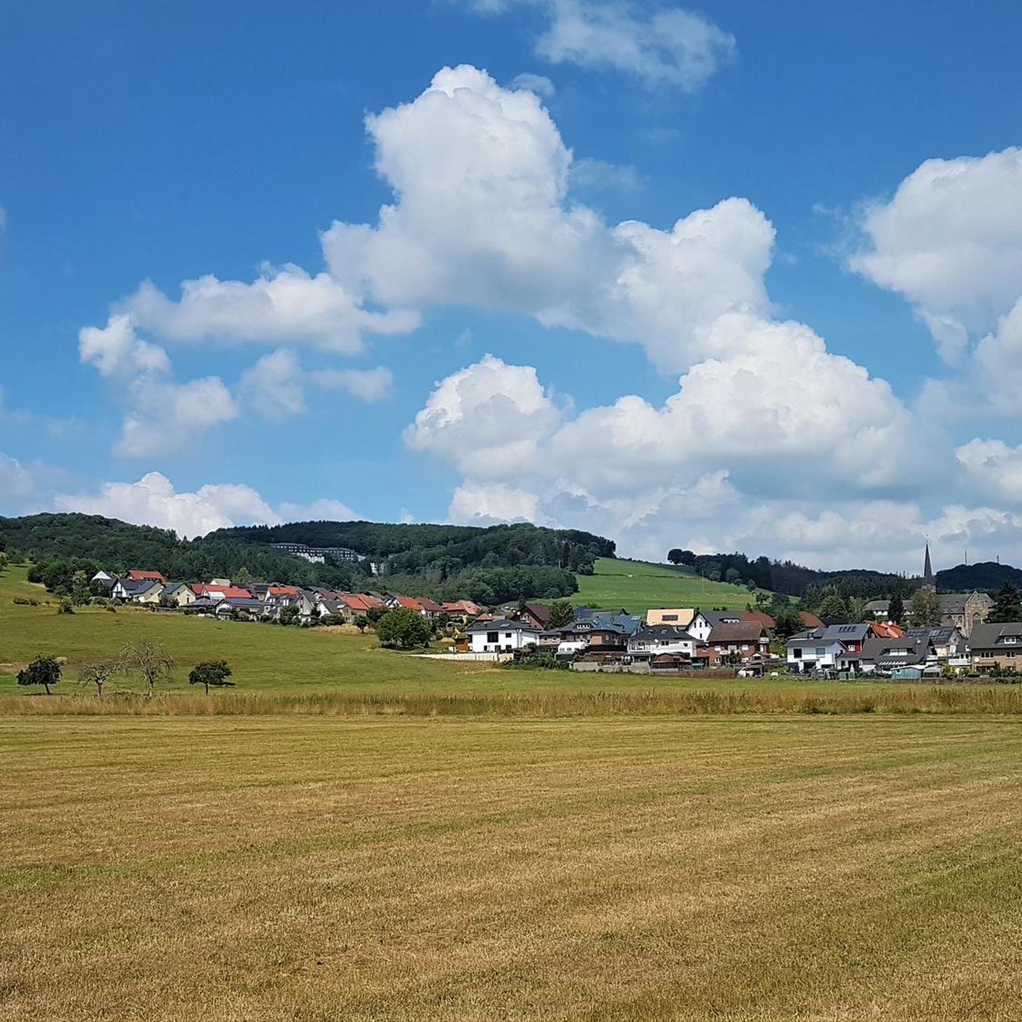
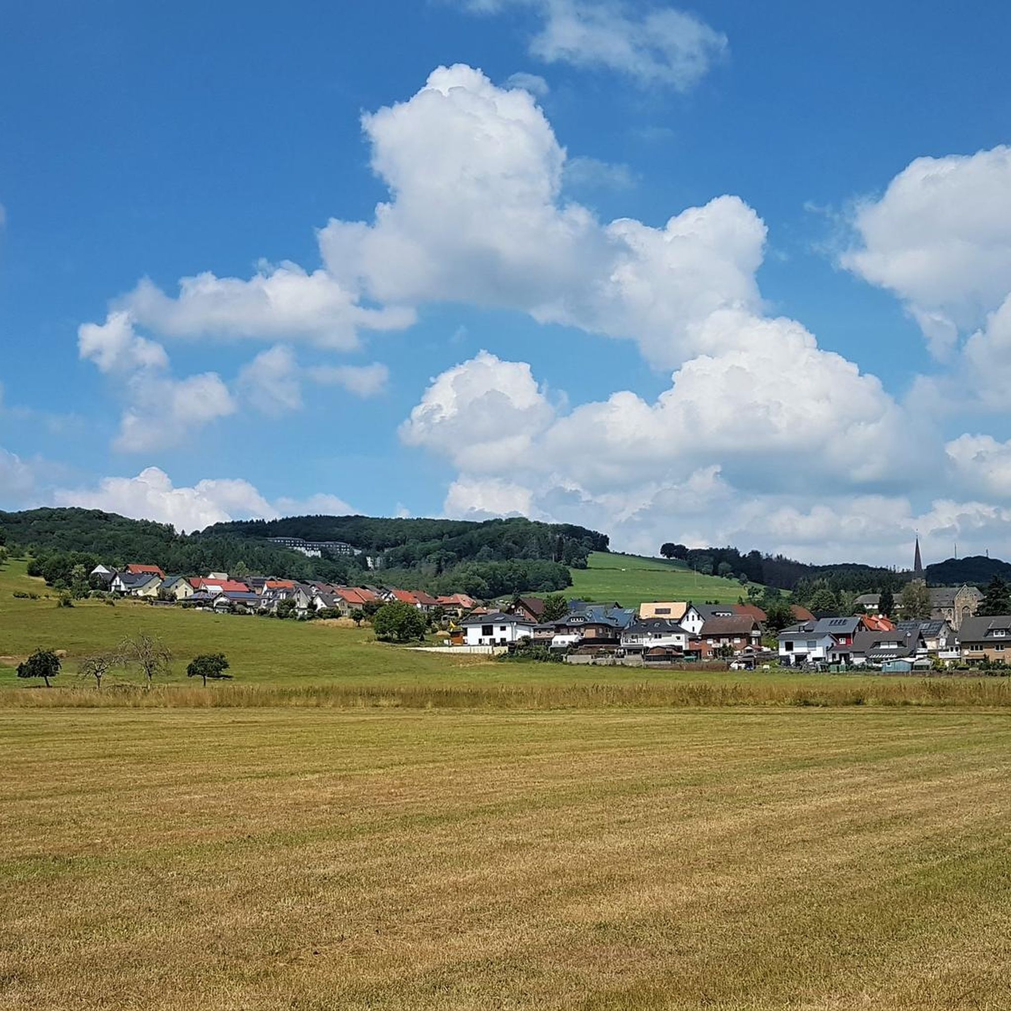
Gravel biking around Niederbreitbach features a landscape shaped by river valleys, such as the Wied, and rolling hills. The region offers varied terrain, including forested sections, open paths, and routes that pass by reservoirs and historical sites like the Roman Limes. Elevations are moderate, with climbs typically ranging from 300 to 700 meters over longer distances.
Best gravel bike trails around Niederbreitbach
- The most popular gravel bike trail is Grenzbachtal – Grenzbachtal loop from Oberhonnefeld, a 31.5 miles (50.7 km) trail that takes 3 hours 29 minutes to complete. This difficult route explores the Grenzbachtal valley with significant elevation changes.
- Another top favourite among local gravel bikers is Swan Pond Reservoir – Aubach Lake loop from Oberhonnefeld, a difficult 25.0 miles (40.3 km) path. This route offers views of the Swan Pond Reservoir and Aubach Lake, traversing varied terrain.
- Local gravel bikers also love the Wied Valley with Campsites – View of the Neuwied Basin loop from Niederbreitbach, a 30.8 miles (49.5 km) trail leading through the Wied Valley, often completed in about 4 hours 5 minutes.
- Gravel biking around Niederbreitbach is defined by river valleys, forested sections, and rolling hills, with routes available for both moderate and challenging skill levels.
- The routes in Niederbreitbach are highly rated by the komoot community with an average score of 4.3 stars from over 30 reviews. More than 200 gravel bikers have used komoot to explore Niederbreitbach's varied terrain.
Last updated: July 2, 2026
4.5
(4)
37
riders
50.7km
03:30
730m
730m
Hard gravel ride. Very good fitness required. Mostly paved surfaces. Suitable for all skill levels.
4.3
(3)
12
riders
40.3km
02:51
570m
570m
Hard gravel ride. Very good fitness required. Mostly paved surfaces. Suitable for all skill levels.

Sign up for free
7
riders
30.6km
02:08
440m
440m
Moderate gravel ride. Good fitness required. Mostly paved surfaces. Suitable for all skill levels.
5.0
(2)
15
riders
Hard gravel ride. Very good fitness required. You may need to push your bike for some segments of this route.
4.5
(2)
13
riders
Hard gravel ride. Very good fitness required. Mostly paved surfaces. Suitable for all skill levels.
Get access to more routes and recommendations from other explorers.
Sign up for free
Already have an account?
Our route recommendations are based on thousands of hikes, rides, and runs completed by other people on komoot.
Start today with a free account
Your next adventure awaits.
Login or Signup
Other adventures around Niederbreitbach

Tips from the Community

Nice connecting path between Ober- and Niederraden and ideal for bicycles, gravel bikes and e-scooters (E🛴).
0
0

Great valley view in the beautiful Wiedtal valley
0
0
The benches along the path are perfect for relaxing. The beer garden offers a welcome refreshment.
0
0

The Wied is a river in Rhineland-Palatinate, Germany, and a right tributary of the Rhine. Waldbreitbach is a municipality situated right on the Wied river in the beautiful Westerwald hills https://www.e-zpassKY.com
0
0

A globally recognized and, especially in recent years, exceptionally outstanding museum in terms of academics. Unfortunately, it doesn't receive the local attention it deserves. However, it's a pleasant place to visit, as only genuinely interested people and a pleasantly spread-out crowd come here. The café is also very nice. In summer, you can sit outside, as the princes once did, in the area where the bowling alley used to be, to relax after a day of hunting.
0
0

Nice to look at, with restaurants and a museum.
0
0

A small highlight in Rhineland-Palatinate. The almost continuous cycle path is really great.
0
0
Frequently Asked Questions
What kind of terrain can I expect on gravel bike trails around Niederbreitbach?
The region offers a diverse landscape characterized by river valleys, such as the Wied, and rolling hills. You'll encounter varied terrain including forested sections, open paths, and routes that pass by reservoirs and historical sites like the Roman Limes. Elevations are moderate, with climbs typically ranging from 300 to 700 meters over longer distances.
Are there any easy or beginner-friendly gravel bike routes in Niederbreitbach?
While Niederbreitbach is known for its more challenging routes, with 27 moderate and 42 difficult trails, there are no routes specifically classified as 'easy' in the immediate area. Beginners might find the moderate routes manageable, but should be prepared for some elevation changes. A good option to consider is the Roman Limes Palisade Replica – Wied Bridge in Datzeroth loop from Hausen (Wied), which is rated as moderate.
What are the typical lengths and durations of gravel bike routes in Niederbreitbach?
The gravel bike routes in Niederbreitbach vary in length, with many falling between 25 to 32 miles (40 to 50 km). For example, the Wied Bridge in Datzeroth – Friedrichsthal Bridge loop from Niederbreitbach is about 29.4 miles (47.3 km) and takes around 3 hours 40 minutes. Longer routes can take up to 4 hours or more to complete.
When is the best season for gravel biking in Niederbreitbach?
The spring and autumn months generally offer the most pleasant conditions for gravel biking in Niederbreitbach, with milder temperatures and beautiful scenery. Summer can also be enjoyable, though it's advisable to start earlier in the day to avoid the midday heat. Winter riding is possible, but trails may be wet or icy, especially in forested areas.
Are there any scenic viewpoints or natural attractions along the gravel bike trails?
Yes, the region offers several scenic spots. You can find routes that pass by the Laubach Waterfall or offer views from the Brohltal Viewpoint. The Swan Pond Reservoir – Aubach Lake loop from Oberhonnefeld provides beautiful views of both bodies of water. For panoramic vistas, consider visiting the Vineyard Swing at Nürer Kopf or the Kaiserberg summit cross with its view over Linz am Rhein.
What do other gravel bikers enjoy most about the trails in Niederbreitbach?
The area is highly rated by the komoot community, with an average score of 4.3 stars from over 30 reviews. Reviewers often praise the varied terrain, the beautiful river valleys, and the challenging yet rewarding climbs. The mix of forested sections and open paths also contributes to a diverse and engaging riding experience.
Are the gravel bike routes in Niederbreitbach typically circular?
Many of the gravel bike routes in Niederbreitbach are designed as loops, allowing you to start and end at the same point. This makes planning your ride and parking more convenient. Examples include the Grenzbachtal – Grenzbachtal loop from Oberhonnefeld and the Wied Valley with Campsites – View of the Neuwied Basin loop from Niederbreitbach.
Are there any historical sites or landmarks to see while gravel biking?
Yes, some routes pass by historical points of interest. The region has connections to the Roman Limes, and you might encounter related sites. Additionally, the Ruins of Hammerstein Castle are a notable landmark in the broader area that can be incorporated into longer rides or visited separately.
How many gravel bike trails are available in the Niederbreitbach area?
There are over 60 gravel bike routes available for exploration around Niederbreitbach on komoot, offering a wide range of options for different skill levels and preferences.
Can I find routes that include stops for refreshments or pubs?
While specific routes aren't explicitly tagged with pub stops, the region's villages and towns often have local eateries and pubs. Planning your route to pass through places like Niederbreitbach itself or nearby communities along the Wied Valley can provide opportunities for refreshments. It's always a good idea to check opening times in advance.
What are the general weather conditions like for gravel biking in Niederbreitbach?
Niederbreitbach experiences a temperate climate. Summers are generally warm, while winters are mild but can be damp. Rainfall is distributed throughout the year, so it's always wise to check the forecast before heading out. The varied terrain means conditions can change, especially in forested sections or higher elevations.
Most popular routes around Niederbreitbach
Most popular attractions around Niederbreitbach

Get inspired with the komoot mobile app


Explore more
Browse the best Gravel rides in other regions.
