The best gravel rides around Altmittweida
4.6
(7)
48
riders
8
rides
Gravel biking around Altmittweida offers access to diverse landscapes within the Mittelsachsen region, characterized by rolling hills and varied elevations. The area features a network of cycling routes, with terrain ranging from forested paths to routes near water bodies like Talsperre Kriebstein and the Zschopau River. This provides a range of gravel biking experiences, including river valleys and forests.
Best gravel bike trails around Altmittweida
- The most popular gravel bike trail is Callenberg Cycle Path – Thierbach Suspension Bridge loop from Burgstädt, a 39.9 miles (64.3 km) trail that takes 3 hours 59 minutes to complete. This difficult route features significant elevation gain and varied terrain.
- Another top favourite among local gravel bikers is Chemnitztal Cycle Path – Cycle Path Along the River loop from Chemnitz Kinderwaldstätte, a moderate 28.5 miles (45.9 km) path. It follows river paths, providing a scenic experience along the Chemnitz river valley.
- Local gravel bikers also love the Anna Cable Ferry – Rossau Waterski Park loop from Altmittweida, a 23.7 miles (38.1 km) trail leading through varied landscapes including the Zschopau Valley, often completed in about 2 hours 13 minutes.
- Gravel biking around Altmittweida is defined by diverse landscapes, including river valleys, forests, and routes near reservoirs. The network offers options for different ability levels, from moderate rides to more challenging routes.
- The routes in Altmittweida are highly rated by the komoot community with an average score of 4.7 stars from over 10 reviews. More than 40 gravel bikers have used komoot to explore Altmittweida's varied terrain.
Last updated: July 2, 2026
5.0
(1)
6
riders
Moderate gravel ride. Good fitness required. Mostly paved surfaces. Suitable for all skill levels.
4.0
(2)
8
riders
36.9km
02:13
360m
350m
Moderate gravel ride. Good fitness required. Mostly paved surfaces. Suitable for all skill levels.

Sign up for free
7
riders
64.4km
04:00
730m
730m
Hard gravel ride. Very good fitness required. Mostly paved surfaces. Suitable for all skill levels.
5
riders
38.1km
02:14
360m
360m
Moderate gravel ride. Good fitness required. Mostly paved surfaces. Suitable for all skill levels.
4.0
(1)
5
riders
24.3km
01:32
290m
290m
Moderate gravel ride. Good fitness required. Mostly paved surfaces. Suitable for all skill levels.
Get access to more routes and recommendations from other explorers.
Sign up for free
Already have an account?
Our route recommendations are based on thousands of hikes, rides, and runs completed by other people on komoot.
Start today with a free account
Your next adventure awaits.
Login or Signup
Tips from the Community

Behind the inscription stone from 1880, a wooden sign with a „romantic“ poem and the picture of a blackbird rises. But this bird did not give the place its name. Below the bank rock, there was once a ford and a ferry point, where logs were pulled from the river on a rope - from this came „Amsel“ - and loaded onto carts. Next to the rock, the old haulage road can still be recognized. Recently, a covered rest area has invited visitors to linger here. View overgrown, from the rest area you don't see much of the Zschopau. https://www.mittweida.de/fileadmin/Tourismus/Wandern/schweizerwald.pdf
0
0

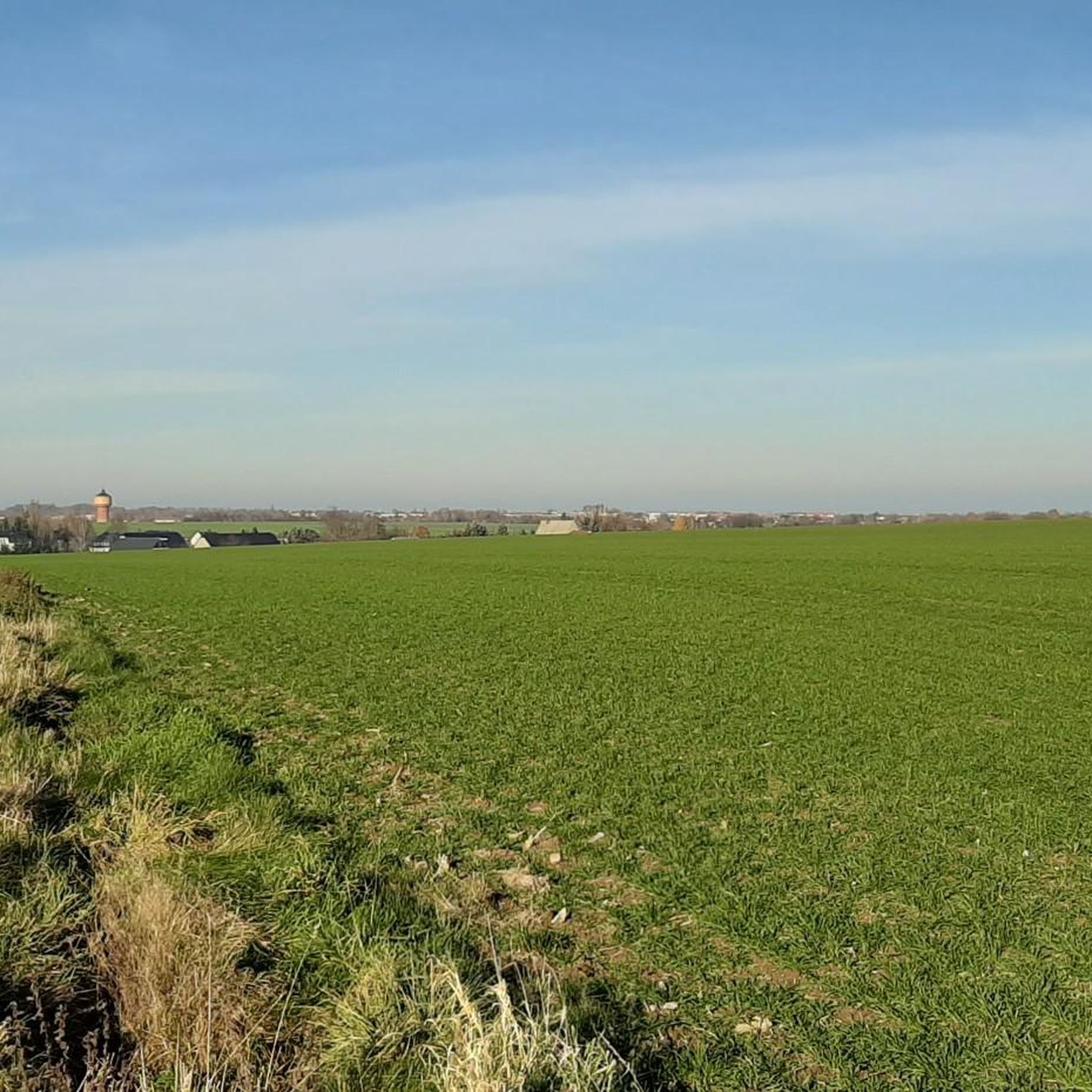
A beautiful view towards Callenberg
0
0

Beautiful, straight alley of birch trees with an informative board about the planter of the trees, Johann Günzel.
0
0

Nice recreational sports facility, with catering, large parking lot available
1
0


The City Church of Our Lady is not a unified building but a conglomerate of different architectural styles from the 14th century to the present day.
0
0

Liebenhainer Mühle first mentioned in 1378
0
0

Many paths lead across the Zwickauer Mulde... The numerous bridges in the region are as typical as the Zwickauer Mulde. Whether made of stone or as suspension bridges, they are essential for crossing the river. Source: https://www.rochlitzer-muldental.de/region-entdecken/lebendige-geschichte/item/1587-brucken-1587
0
0
Frequently Asked Questions
How many gravel bike trails are available around Altmittweida?
There are over 20 gravel bike trails around Altmittweida, offering a variety of experiences for different skill levels. The komoot community has explored these routes extensively, contributing to their high ratings.
What kind of terrain can I expect on gravel bike trails around Altmittweida?
The terrain around Altmittweida is quite diverse, ranging from river valleys and forested areas to routes near reservoirs. You'll encounter varied elevations, providing options from relaxed rides to more challenging ascents and descents. The broader Mittweida region is known for its 'forest and rock landscape' and 'relaxed hiking landscape' around Rochlitzer Berg, which translates to engaging gravel paths.
Are there any family-friendly gravel bike routes in Altmittweida?
Yes, Altmittweida offers several moderate routes that could be suitable for families. For instance, the Chemnitztal Cycle Path – Wild Chemnitz Valley loop from Chemnitz Kinderwaldstätte is a moderate 29.0-mile (46.7 km) trail through river valleys and forested areas, often completed in about 3 hours 25 minutes. There are 14 moderate routes in total, providing plenty of options.
What natural features or viewpoints can I see on the gravel bike trails?
Many routes offer scenic views of natural features. The area is characterized by its proximity to water bodies like the Talsperre Kriebstein and the Glauchau Reservoir. You can find highlights such as the Kriebstein Dam and the Markersdorf Quarry Lake. Some trails also lead through picturesque river valleys and offer views of the surrounding 'forest and rock landscape'.
Are there any historical landmarks or attractions near the gravel biking routes?
Yes, the vicinity of Altmittweida offers several cultural and historical points of interest. While cycling, you might pass near the Kriebstein Reservoir Ferry Terminal. The broader region also features historic sites like Park and Castle Lichtenwalde and Burg Kriebstein, which are within about 10 km of Altmittweida and could be visited as part of a longer outing.
When is the best time of year to go gravel biking in Altmittweida?
The popularity of cycling in the Altmittweida area peaks in May and June, suggesting these months offer ideal conditions for gravel biking. The weather is generally pleasant, making it a great time to explore the diverse landscapes.
Are there any loop gravel bike trails in the area?
Yes, many of the gravel bike routes around Altmittweida are designed as loops. For example, the Chemnitztal Cycle Path – Cycle Path Along the River loop from Chemnitz Kinderwaldstätte is a popular moderate loop that follows river paths. Another option is the Anna Cable Ferry – Rossau Waterski Park loop from Altmittweida, which is a moderate 38.1 km route.
What is the difficulty range of gravel bike trails in Altmittweida?
The gravel bike trails in Altmittweida cater to a range of abilities. You'll find 3 easy routes, 14 moderate routes, and 7 difficult routes. This variety ensures that both beginners and experienced gravel bikers can find suitable challenges.
Can I find routes with significant elevation gain for a challenge?
Absolutely. For those seeking a challenge, there are 7 difficult routes with notable elevation gains. For instance, the West shore of the Glauchau Reservoir – Thierbach Suspension Bridge loop from Schweizerthal-Diethensdorf is a difficult 98.0 km trail with over 735 meters of elevation gain, offering extensive riding through varied terrain.
Are there any facilities like cafes or huts along the gravel bike trails?
Yes, you can find places to stop and refresh along or near some routes. The area has several huts and restaurants, such as the Auerswalder Mühlenkeller and Waldhaus Lauenhain. These can be convenient spots for a break during your ride.
What do other gravel bikers say about the trails in Altmittweida?
The gravel biking routes in Altmittweida are highly regarded by the komoot community, with an average score of 5.0 stars from over 2 reviews. More than 50 gravel bikers have used komoot to explore the area, often praising the diverse landscapes, from river valleys to forests and reservoir views.
Is there parking available near the gravel bike trailheads?
While specific parking locations for every trailhead are not detailed, the region is generally accessible for outdoor activities. Many routes start from towns or villages like Chemnitz Kinderwaldstätte or Schweizerthal-Diethensdorf, where public parking options are typically available. It's advisable to check local parking information for your chosen starting point.
Are there any routes that offer views of reservoirs or lakes?
Yes, several routes provide excellent views of local water bodies. The West shore of the Glauchau Reservoir – Thierbach Suspension Bridge loop from Schweizerthal-Diethensdorf, for example, offers extensive reservoir views. The region also features the Talsperre Kriebstein, with highlights like the Kriebstein Dam and various ferry terminals, providing scenic waterside experiences.
Most popular routes around Altmittweida
Most popular attractions around Altmittweida

Get inspired with the komoot mobile app


Explore more
Browse the best Gravel rides in other regions.
