The best gravel rides around Stadtprozelten
4.6
(11)
76
riders
19
rides
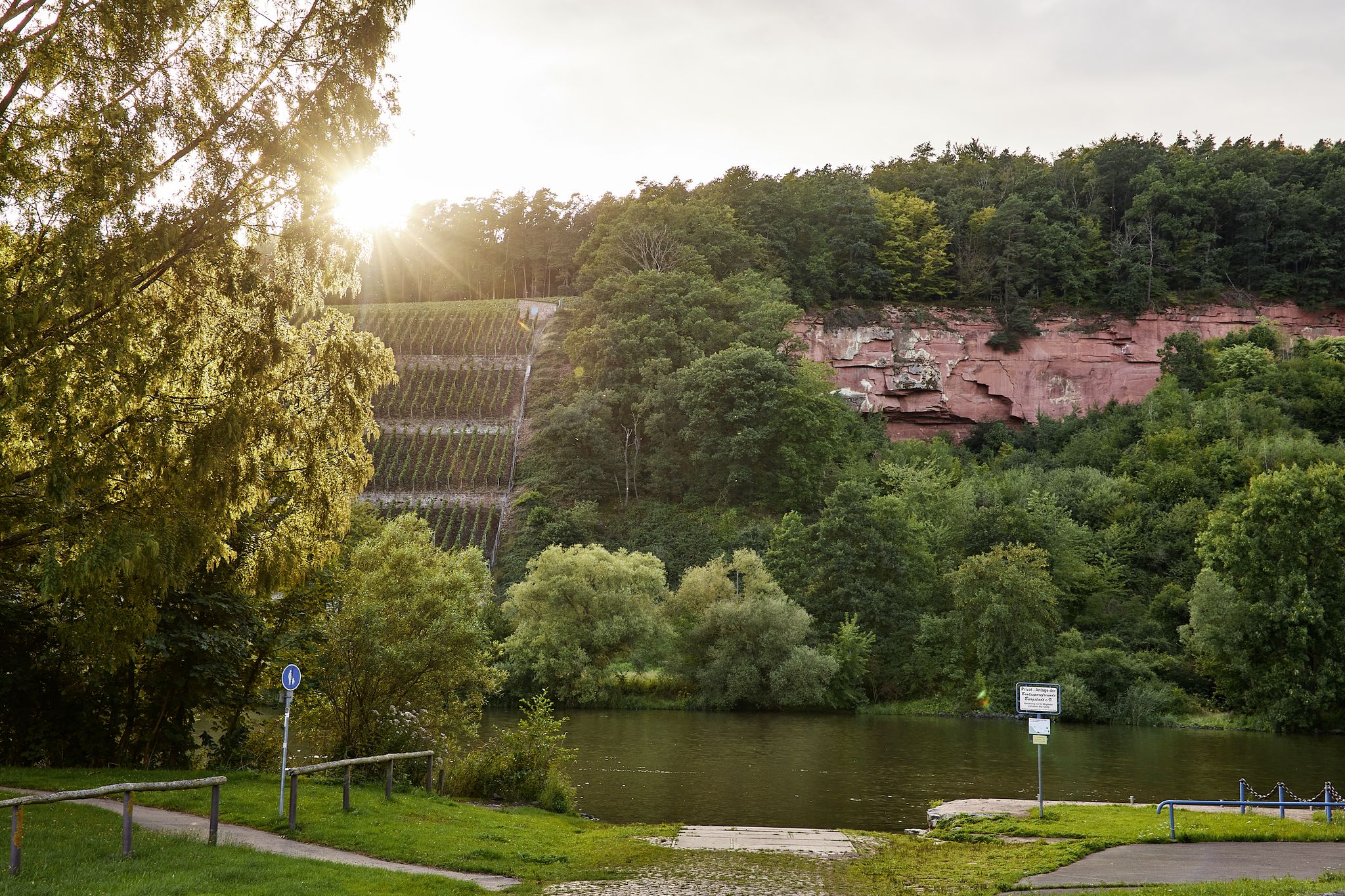
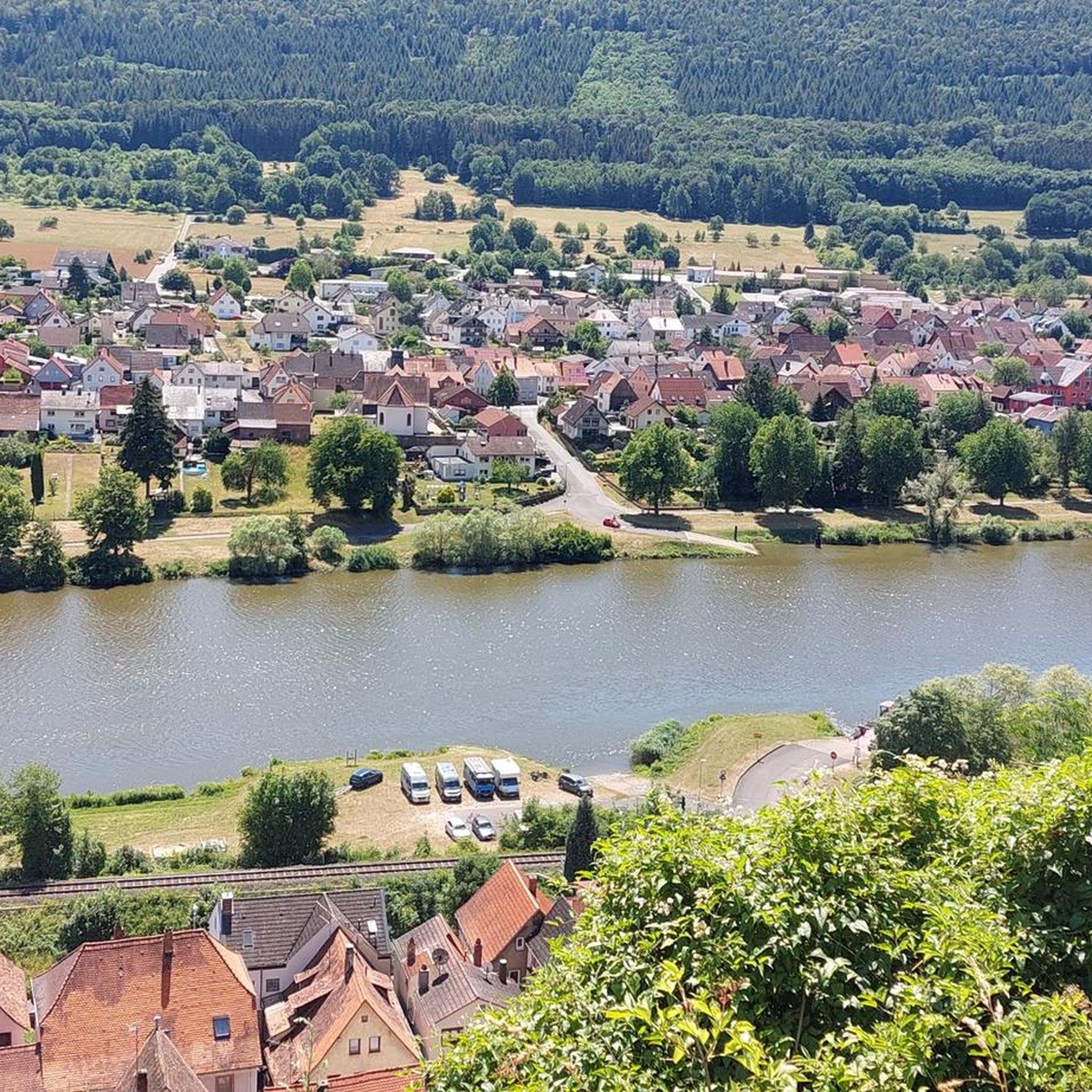
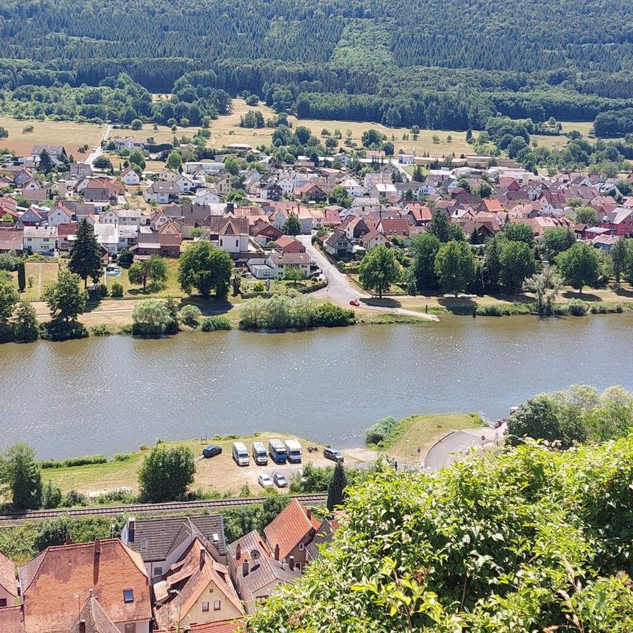
Gravel biking around Stadtprozelten offers varied terrain nestled between the Spessart and Odenwald forests and along the Main River valley. The region features extensive woodlands, forested hills, and valleys, providing diverse surfaces and elevation changes for gravel cyclists. Views of red sandstone cliffs can be found near Dorfprozelten, adding to the scenic character. This topography creates an ideal environment for routes that range from riverside paths to more challenging forest trails.
Best gravel bike trails around Stadtprozelten
- The most popular…
Last updated: October 6, 2026
4.5
(2)
13
riders
35.4km
02:16
480m
480m
Hard gravel ride. Very good fitness required. Mostly paved surfaces. Suitable for all skill levels.
5.0
(1)
14
riders
Hard gravel ride. Very good fitness required. Mostly paved surfaces. Suitable for all skill levels.

5.0
(1)
7
riders
27.5km
01:47
360m
360m
Moderate gravel ride. Good fitness required. Mostly paved surfaces. Suitable for all skill levels.
5.0
(1)
9
riders
Hard gravel ride. Very good fitness required. Mostly paved surfaces. Suitable for all skill levels.
11
riders
Hard gravel ride. Very good fitness required. You may need to push your bike for some segments of this route.
Get access to more routes and recommendations from other explorers.
Already have an account?
Our route recommendations are based on thousands of hikes, rides, and runs completed by other people on komoot.
Start today with a free account
Your next adventure awaits.
Popular around Stadtprozelten


Tips from the Community

The Hafenlohr is a 26.5 km (27.7 km with Tiergartenbach) long, right tributary of the Main in the districts of Aschaffenburg and Main-Spessart in the Bavarian Spessart. The Hafenlohr originates from two springs in the municipality of Rothenbuch. The longer and at times more water-rich source is the Tiergartenbach, which often dries up on dry days. Officially, it is considered the upper course of the main water body of the Hafenlohr. The origin named Hafenlohrquelle in the middle of the village provides water almost all year round. The Hafenlohrquelle is located at Schloss Rothenbuch. It was channeled in sandstone during the widening of the road St 2317. Its water flows through the castle moat northwestward and flows into the bed of the Tiergartenbach about a hundred meters later from the left side, which flows from the Tiergartengrund on the northern edge of the village and is already 1.3 km long. It does not supply water all year round, but at times more than the also perennial spring at the castle. The spring at the castle was probably a meeting point for hunting in the eastern Spessart in the past, which is why the construction of a hunting lodge began here in 1342. The castle moat and some surrounding trout lakes, which no longer exist today, were fed with the emerging spring water. Source and further information: https://de.wikipedia.org/wiki/Hafenlohr_(Fluss)
1
0

Super beautiful bridge with a small stream. There is also a bench with a table here.
0
0

A very nice promenade along the shore.
0
0

Impressive castle ruin visible from the river below - a worthwhile stop if you enjoy exploring old fortifications.
0
0

The Hafenlohrtal is wonderfully quiet. And so beautiful.
0
0

Beautiful path through the Aubach valley with magical clearings and forest passages.
1
0
Sit down for a drink 🍺 and watch the ships 🛥 on the Main river 🌊.
0
0

I love these old bridges and I have to take a picture of every beautiful one from above. This one also offers a very nice view of Marktheidenfeld.
1
0
Frequently Asked Questions
How many gravel bike trails are available around Stadtprozelten?
There are over 25 gravel bike routes around Stadtprozelten, offering a variety of experiences for different skill levels. You'll find a mix of moderate and difficult trails to explore.
What kind of terrain can I expect on gravel bike trails near Stadtprozelten?
The region offers diverse terrain, nestled between the Spessart and Odenwald forests and along the Main River valley. You can expect extensive woodlands, forested hills, and valleys, providing varied surfaces and elevation changes. Scenic views of red sandstone cliffs can also be enjoyed near Dorfprozelten, adding to the picturesque landscape.
What do other gravel bikers say about the trails in Stadtprozelten?
The gravel biking routes in Stadtprozelten are highly rated by the komoot community, with an average score of 4.9 stars from over 20 reviews. More than 90 gravel bikers have used komoot to explore the region's varied terrain, often praising the combination of riverside paths and challenging forest trails.
Are there easy gravel bike routes suitable for beginners in Stadtprozelten?
While many routes offer a challenge, there are several moderate options available. For instance, the Maria am Weg - Chapel – Historic Town Hall loop from Dammbach is a moderate 17.4-mile (28.0 km) path that passes by historical landmarks, offering a good introduction to the area's gravel biking.
Are there challenging gravel bike routes for experienced riders?
Yes, experienced riders will find plenty of challenging routes. The region features 17 difficult trails. A popular choice is the Miltenberg Old Town – Miltenberg Riverside Promenade loop from Neunkirchen, a 30.9-mile (49.7 km) difficult trail exploring historic areas and river views with significant elevation changes.
Are there family-friendly gravel bike routes around Stadtprozelten?
For families, the flatter sections along the Main River valley, part of the Main-Radweg, can be suitable for gravel bikes. While specific family-designated gravel routes aren't highlighted, these riverside paths offer a less strenuous option. Always check route details for elevation and surface to ensure it meets your family's needs.
Can I bring my dog on gravel bike tours in Stadtprozelten?
Many of the forest trails and paths around Stadtprozelten are suitable for cycling with dogs, especially in the Spessart and Odenwald forests. However, it's always recommended to keep your dog on a leash, especially near wildlife or other trail users, and to check local regulations for specific areas.
What historical landmarks or attractions can I see while gravel biking near Stadtprozelten?
The region is rich in history. You can cycle past the impressive Wertheim Castle, explore the medieval character of Stadtprozelten's historic town center, or visit the Wertheim Market Square. The Maria am Weg - Chapel – Historic Town Hall loop from Dammbach specifically passes by historical landmarks.
Are there gravel bike routes that offer scenic viewpoints or natural highlights?
Absolutely. Many routes provide stunning views over the Main valley and the Odenwald foothills. You can enjoy the striking red sandstone cliffs near Dorfprozelten or cycle to the confluence of the Tauber and Main rivers in Wertheim. The Hohe Sohl Pavilion – Collenburg Castle Ruins loop from Faulbach (Main) leads through forested areas and past ruins, offering scenic vistas.
What is the best time of year for gravel biking in Stadtprozelten?
The region is generally pleasant for gravel biking from spring through autumn. The extensive woodlands of the Spessart and Odenwald provide shade during warmer months, while spring and fall offer vibrant colors and comfortable temperatures. Always check the local weather forecast before heading out.
Where can I park my car when starting a gravel bike tour in Stadtprozelten?
Stadtprozelten and surrounding towns offer various parking options. For specific starting points of tours, it's advisable to check local signage for designated parking areas. Many trailheads in the Spessart region also have small parking lots available for hikers and cyclists.
Are there any circular gravel bike routes in the area?
Yes, many of the gravel bike routes around Stadtprozelten are designed as loops, allowing you to start and end at the same point. Examples include the Miltenberg Old Town – Miltenberg Riverside Promenade loop from Neunkirchen and the Hohe Sohl Pavilion – Collenburg Castle Ruins loop from Faulbach (Main).
Are there places to eat or drink along the gravel bike trails?
The towns and villages along the Main River, including Stadtprozelten itself, offer various cafes, restaurants, and pubs where you can refuel. When venturing deeper into the Spessart forests, options might be scarcer, so it's wise to plan your stops or carry sufficient provisions.
Most popular routes around Stadtprozelten
Most popular attractions around Stadtprozelten

Get inspired with the komoot mobile app


Explore more
Browse the best Gravel rides in other regions.
