The best gravel rides around Postfeld
4.4
(38)
143
riders
19
rides
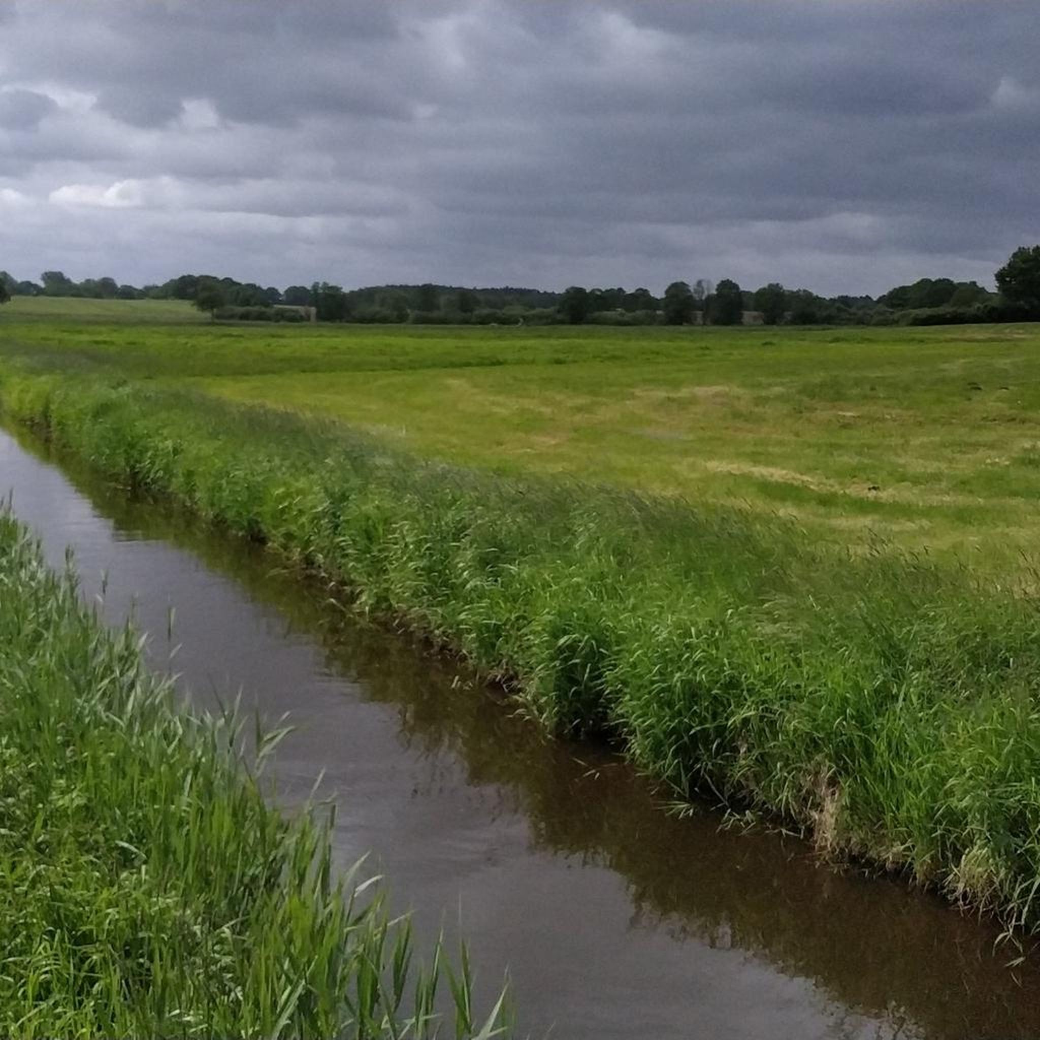
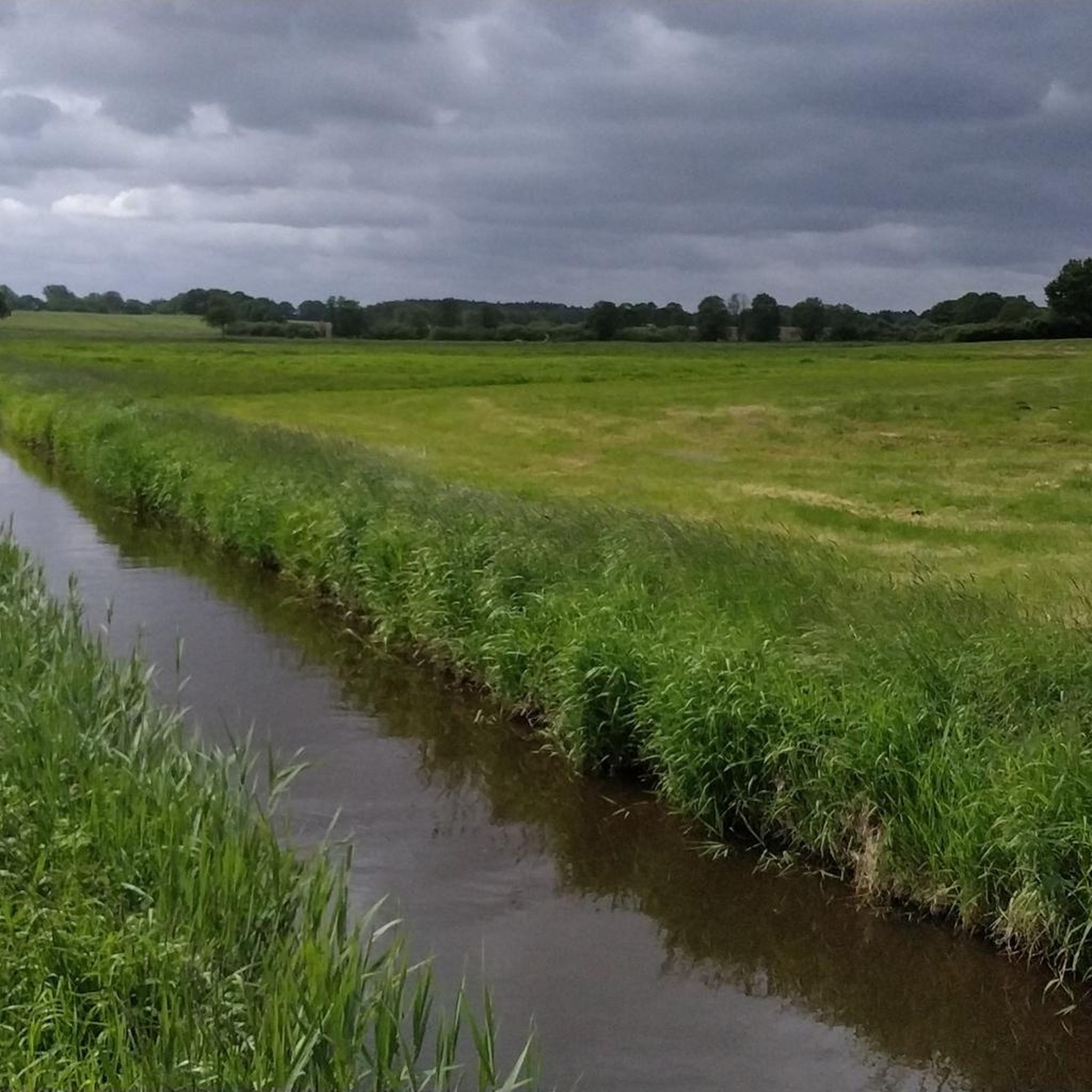
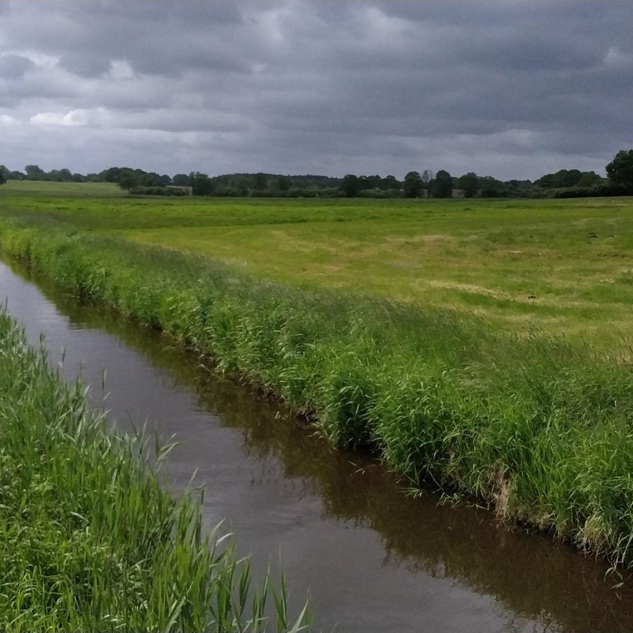
Gravel biking around Postfeld features a landscape characterized by gentle hills, numerous lakes, and river valleys, offering varied terrain for cycling. The region includes natural reserves and expansive agricultural areas, providing a mix of open views and sheltered paths. Elevation changes are generally moderate, making the area accessible for a range of gravel biking experiences. The terrain is suitable for gravel bikes, with a mix of surfaces and elevation gains typically under 200 meters.
Best gravel bike trails around Postfeld
…Last updated: May 22, 2026
4.7
(7)
27
riders
28.8km
01:50
160m
160m
Moderate gravel ride. Good fitness required. Mostly paved surfaces. Suitable for all skill levels.
5.0
(3)
14
riders
47.8km
02:41
250m
250m
Moderate gravel ride. Good fitness required. Mostly paved surfaces. Suitable for all skill levels.

Sign up for free
4.5
(2)
7
riders
Easy gravel ride. Great for any fitness level. Mostly paved surfaces. Suitable for all skill levels.
4.5
(2)
9
riders
20.5km
01:17
110m
110m
Easy gravel ride. Great for any fitness level. Mostly paved surfaces. Suitable for all skill levels.
4.0
(2)
6
riders
Easy gravel ride. Great for any fitness level. Mostly paved surfaces. Suitable for all skill levels.
Get access to more routes and recommendations from other explorers.
Sign up for free
Already have an account?
Our route recommendations are based on thousands of hikes, rides, and runs completed by other people on komoot.
Start today with a free account
Your next adventure awaits.
Login or Signup

Tips from the Community

Imposing entrance gate to the pretty monastery courtyard
3
0
A lovely viewpoint with a magnificent view of the Schwentine river flowing in the valley.
1
0

People have found comfort and hope in this prayer room for over 50 years. You are warmly welcome to join us for worship or family gatherings. Hikers, cyclists, nature lovers, and athletes will also find a space open day and night.
5
0
As early as 1264-1289, Neuwühren appeared in the "Kiel City Register" under the name de Javorn, which derives from the Old Polabite (a Slavic root) word Javor for maple. Shortly thereafter, it was renamed Nî-Jaworn, indicating that, as was common at the time, a German "new" village was founded alongside the Wendish one for the purpose of colonization. By 1460, the village was already called Nyenwörden—it was now only a short distance to Neuwühren. Like most of the surrounding villages, Neuwühren belonged to the Preetz Monastery. After the construction of the church there, Neuwühren became part of the Elmschenhagen parish. In 1931, the village was incorporated into the newly founded municipality of Pohnsdorf.
11
0

Nice place for a break
1
0
The lake was first mentioned in a document in 1075 in a description of the Limes Saxoniae by Adam of Bremen. The village was first mentioned in 1347, when the knight Nikolaus Splyth pledged his estate, including the village of Stocksee, to Reinfeld Monastery. From 1640 to 1649, Stocksee was owned by the noble Brockdorff family. In 1649, Duke Joachim Ernst (Schleswig-Holstein-Sonderburg-Plön), the first Duke of the Duchy of Schleswig-Holstein-Sonderburg-Plön, acquired Stocksee.[6]
6
0
On October 1, 1937, the municipality of Stocksee was merged with the neighboring village of Damsdorf under the name Stocksee. In 1948, the municipal council decided to separate the municipalities again, and this decision was implemented on March 31, 1951.[8][9] In the 1980s, divers found a roughly 700-year-old dugout canoe in the lake, indicating a longer settlement history in the village.
6
0
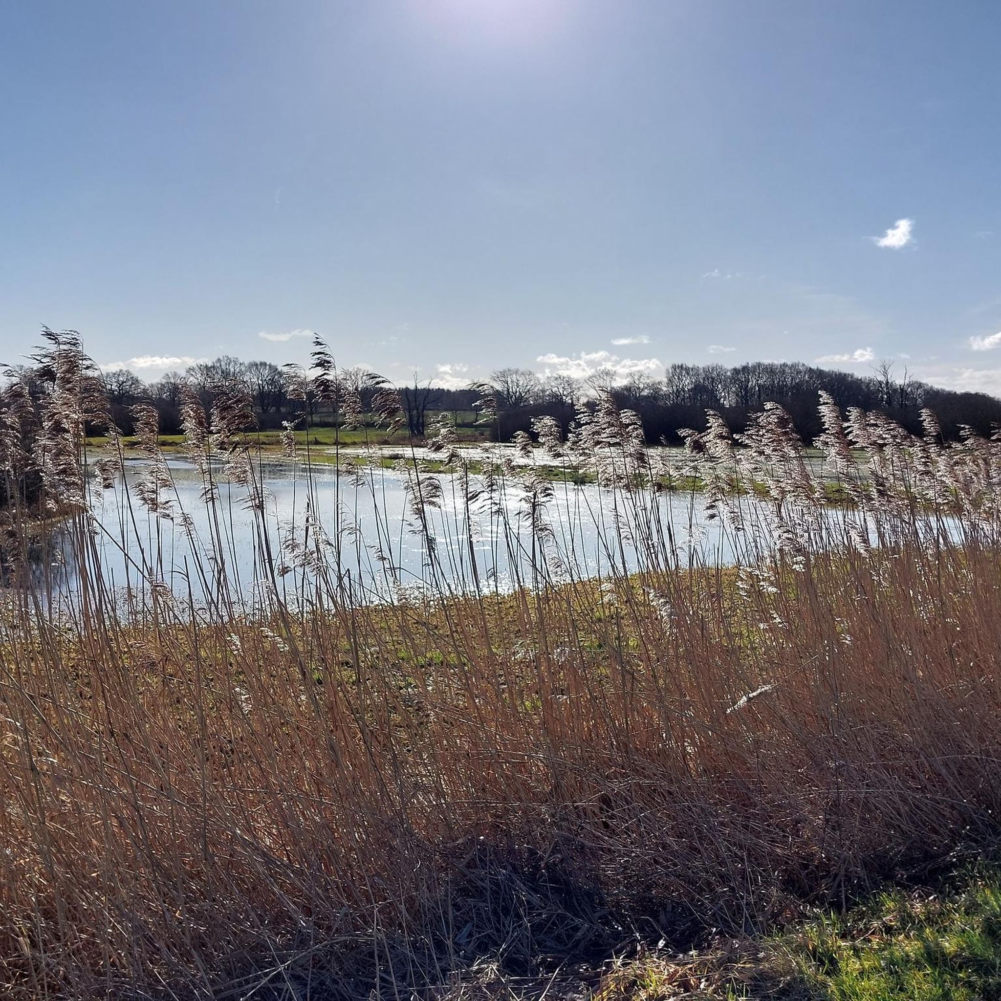
Today's lake fills a deeply incised glacial tongue basin from the Weichselian glaciation. This basin was formed by the advance of various glaciers, which carved out large basins in the soft soil and deposited the material laterally. This formation resulted in the lake's shores being relatively steep, and the reed beds along the shores are relatively narrow. The lake contains three islands (Großrethberg, Kleine Insel, and Lange Insel) and a peninsula, which, like the shoreline, are predominantly covered in alder swamp forests. In higher elevations, these wetland forests transition into extensively managed beech forests.
7
0
Frequently Asked Questions
Are there easy or family-friendly gravel bike trails around Postfeld?
Yes, Postfeld offers a good selection of easy gravel bike trails suitable for beginners and families. Out of 34 total routes, 14 are classified as easy. An excellent option is the View of the Schwentine River – Kührener Teich Nature Reserve loop from Preetz, which is 10.9 miles (17.5 km) long and follows scenic river views through a nature reserve.
What is the typical length of gravel bike trails in the Postfeld region?
Gravel bike trails around Postfeld vary significantly in length. You can find shorter routes, such as the View of the Schwentine River – Kührener Teich Nature Reserve loop from Preetz at 10.9 miles (17.5 km), up to longer, more challenging tours like the Hessenstein Tower – Hessenstein Tower loop from Raisdorf, which spans 53.5 miles (86.1 km).
Are there challenging gravel routes for experienced riders in Postfeld?
For experienced gravel bikers seeking a challenge, Postfeld has a few more difficult routes. There are 2 routes classified as difficult, with the Hessenstein Tower – Hessenstein Tower loop from Raisdorf being a notable option. This extensive 53.5-mile (86.1 km) loop features over 500 meters of elevation gain, providing a demanding ride.
When is the best time of year for gravel biking in Postfeld?
The best time for gravel biking in Postfeld is generally from spring to autumn. Spring offers pleasant weather and blooming landscapes, while summer provides longer daylight hours. Autumn brings beautiful foliage. Winters can be cold and potentially snowy, making conditions more challenging, though some routes may still be passable depending on the weather.
What kind of scenery can I expect on gravel bike trails around Postfeld?
The Postfeld region is characterized by a diverse landscape of gentle hills, numerous lakes, and river valleys. You'll encounter a mix of open agricultural areas, offering expansive views, and sheltered paths through natural reserves. Many routes feature picturesque lakeside paths and river views, such as those along the Schwentine River or Großer Plöner See.
Are there circular gravel bike routes available in Postfeld?
Yes, many of the gravel bike routes around Postfeld are designed as circular loops, allowing you to start and end at the same point. Examples include the popular Sieversdorf Bridge – Raisdorf Toad Ponds loop from Preetz and the Lakeside Path on Lake Plön – View of Großer Plöner See loop from Stolpe.
What do other gravel bikers enjoy most about the trails in Postfeld?
The gravel biking routes in Postfeld are highly rated by the komoot community, with an average score of 4.6 stars from over 70 reviews. Riders often praise the varied terrain, the scenic lakeside paths, and the peaceful atmosphere of the nature reserves. The mix of open views and sheltered paths is also frequently highlighted.
Are there any interesting landmarks or natural attractions along the gravel bike routes?
Yes, several routes pass by notable landmarks and natural attractions. You might encounter the Sieversdorf Bridge, explore the tranquil Kührener Teich Nature Reserve, or cycle along the Schwentine Oxbow Nature Reserve Trail. The region also features historical sites like Wahlstorf Manor and the Langenrade Windmill Sventana.
Can I find places to stop for refreshments or coffee along the gravel trails?
While specific cafe stops are not detailed for every route, the region around Postfeld, with its charming villages and popular lakes, often provides opportunities for refreshments. For example, the Lasner Fishery and Smokehouse on Lake Großer Plöner offers a stop with food and views.
How many gravel bike routes are available in the Postfeld area?
There are over 30 gravel bike routes available in the Postfeld area, offering a wide range of options for different skill levels and preferences. This includes 14 easy routes, 18 moderate routes, and 2 more difficult trails.
Are there routes that offer views of the large lakes in the region?
Absolutely. Many gravel routes in Postfeld are designed to showcase the region's beautiful lakes. The Lakeside Path on Lake Plön – View of Großer Plöner See loop from Stolpe is a prime example, offering extensive views of Großer Plöner See, one of the largest lakes in Schleswig-Holstein.
Where can I find parking for gravel biking routes near Postfeld?
Specific parking information is typically detailed on individual tour pages. However, many routes start from towns like Preetz or Stolpe, where public parking options are generally available. For instance, routes like the Sieversdorf Bridge – Postsee Lakeside Cycle Route loop from Preetz begin in Preetz, which offers various parking facilities.
Most popular routes around Postfeld
Most popular attractions around Postfeld

Get inspired with the komoot mobile app


Explore more
Browse the best Gravel rides in other regions.
