The best gravel rides around Hauneck
4.6
(19)
52
riders
15
rides
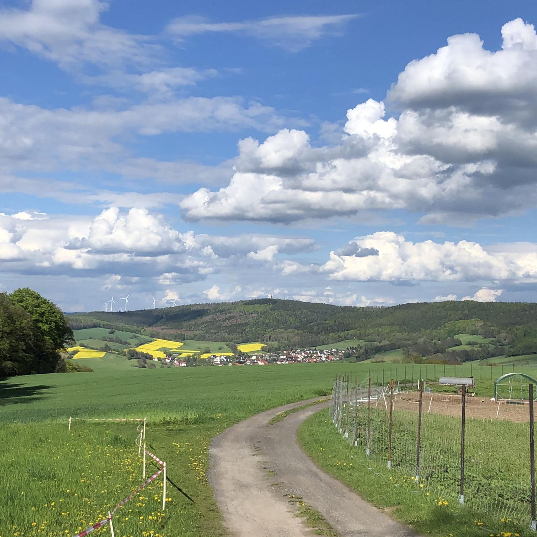
Gravel biking around Hauneck offers a diverse landscape characterized by river plains, dedicated cycle paths, and rolling hills. The region features routes that follow the Haune and Fulda rivers, providing varied terrain for gravel cyclists. Its extensive network of cycling routes incorporates various surfaces, including unpaved paths through dense forests and scenic river valleys. This area provides a suitable environment for exploring on gravel bikes, with options ranging from relaxed river paths to more demanding rides through hilly forested areas.
…Last updated: August 26, 2026
5.0
(2)
9
riders
42.4km
02:31
420m
420m
Hard gravel ride. Good fitness required. You may need to push your bike for some segments of this route.
5.0
(3)
7
riders
Moderate gravel ride. Good fitness required. Mostly paved surfaces. Suitable for all skill levels.

Sign up for free
4.0
(1)
3
riders
Moderate gravel ride. Good fitness required. Mostly paved surfaces. Suitable for all skill levels.
5.0
(5)
5
riders
18.4km
01:07
250m
250m
Moderate gravel ride. Good fitness required. Mostly paved surfaces. Suitable for all skill levels.
3
riders
48.0km
03:19
770m
770m
Hard gravel ride. Very good fitness required. You may need to push your bike for some segments of this route.
Get access to more routes and recommendations from other explorers.
Sign up for free
Already have an account?
Our route recommendations are based on thousands of hikes, rides, and runs completed by other people on komoot.
Start today with a free account
Your next adventure awaits.
Login or Signup
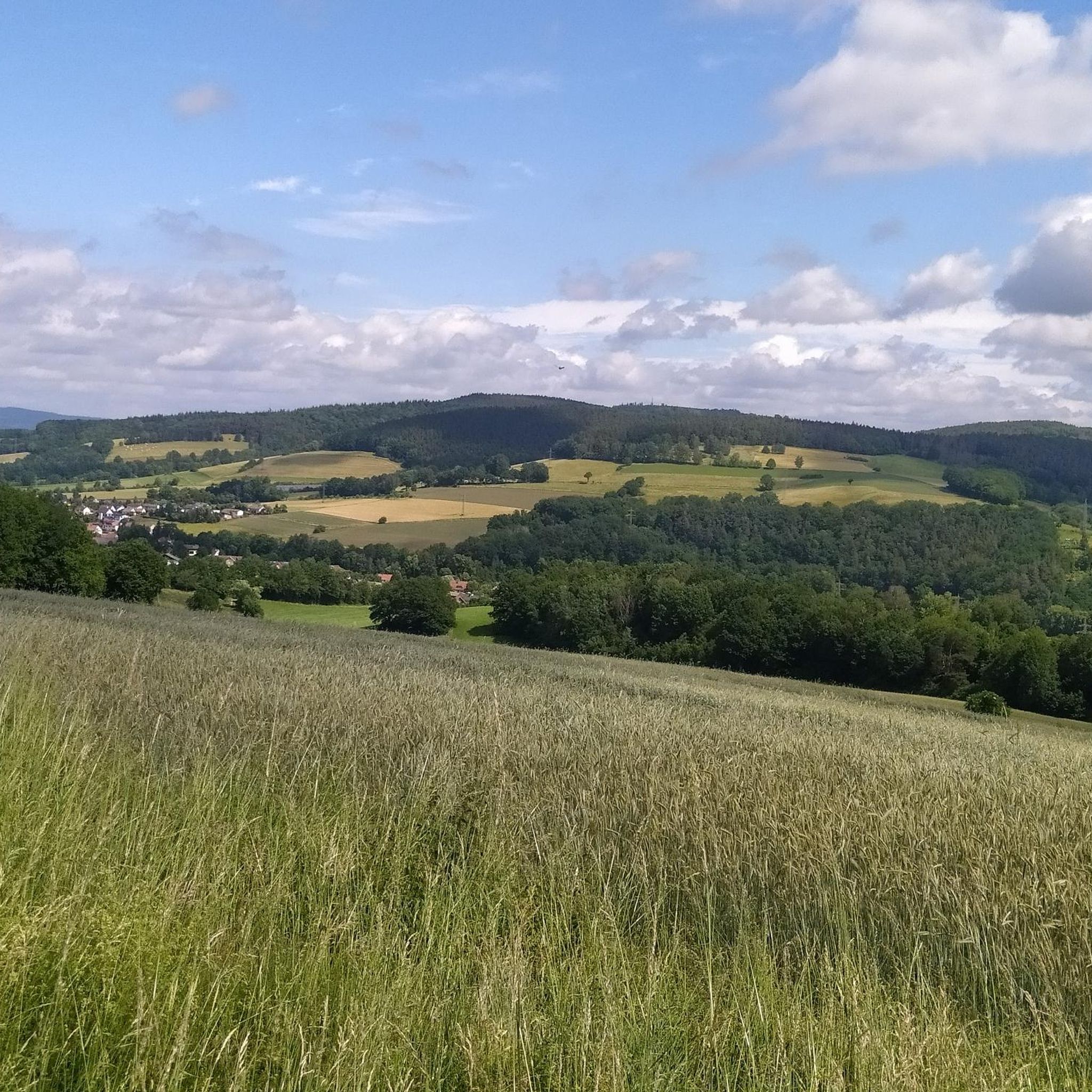
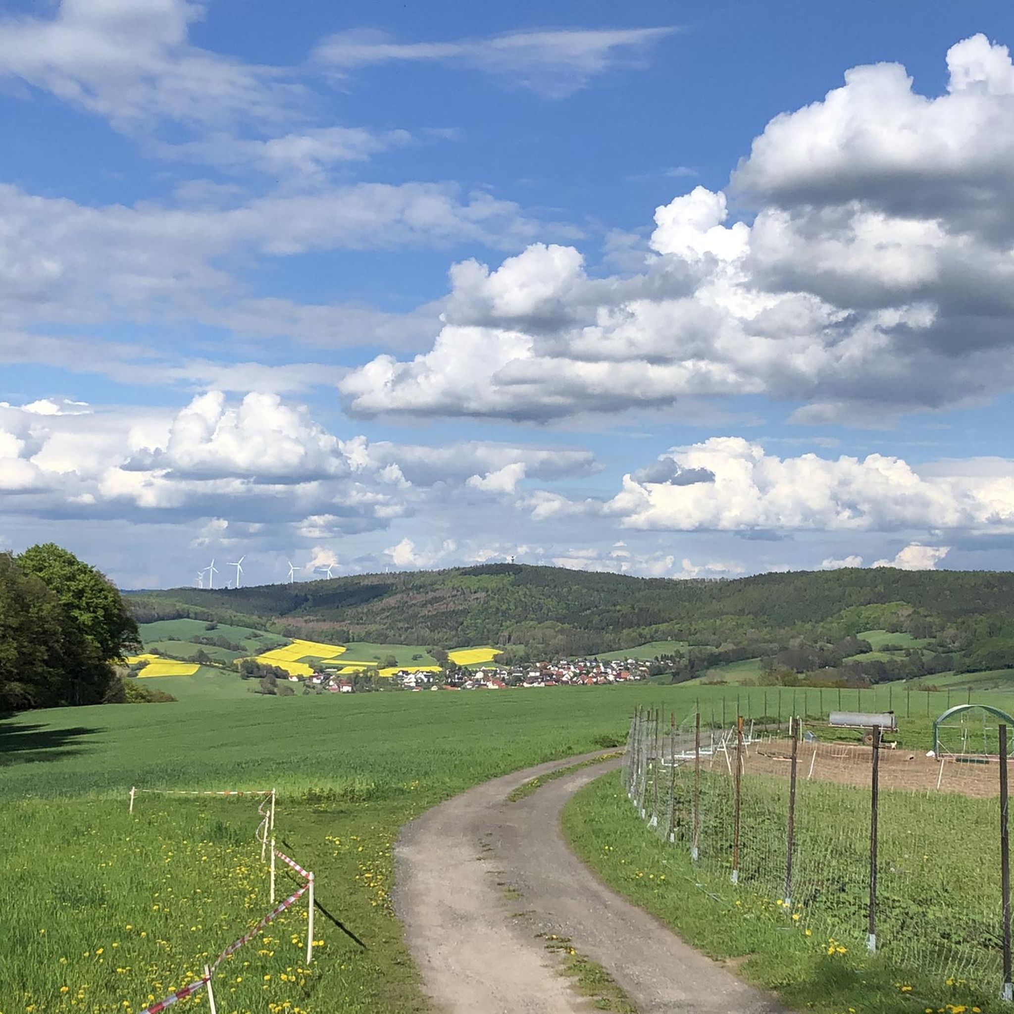
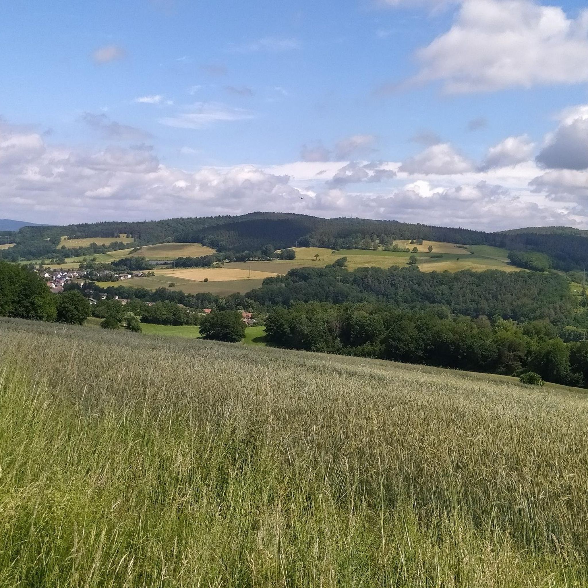
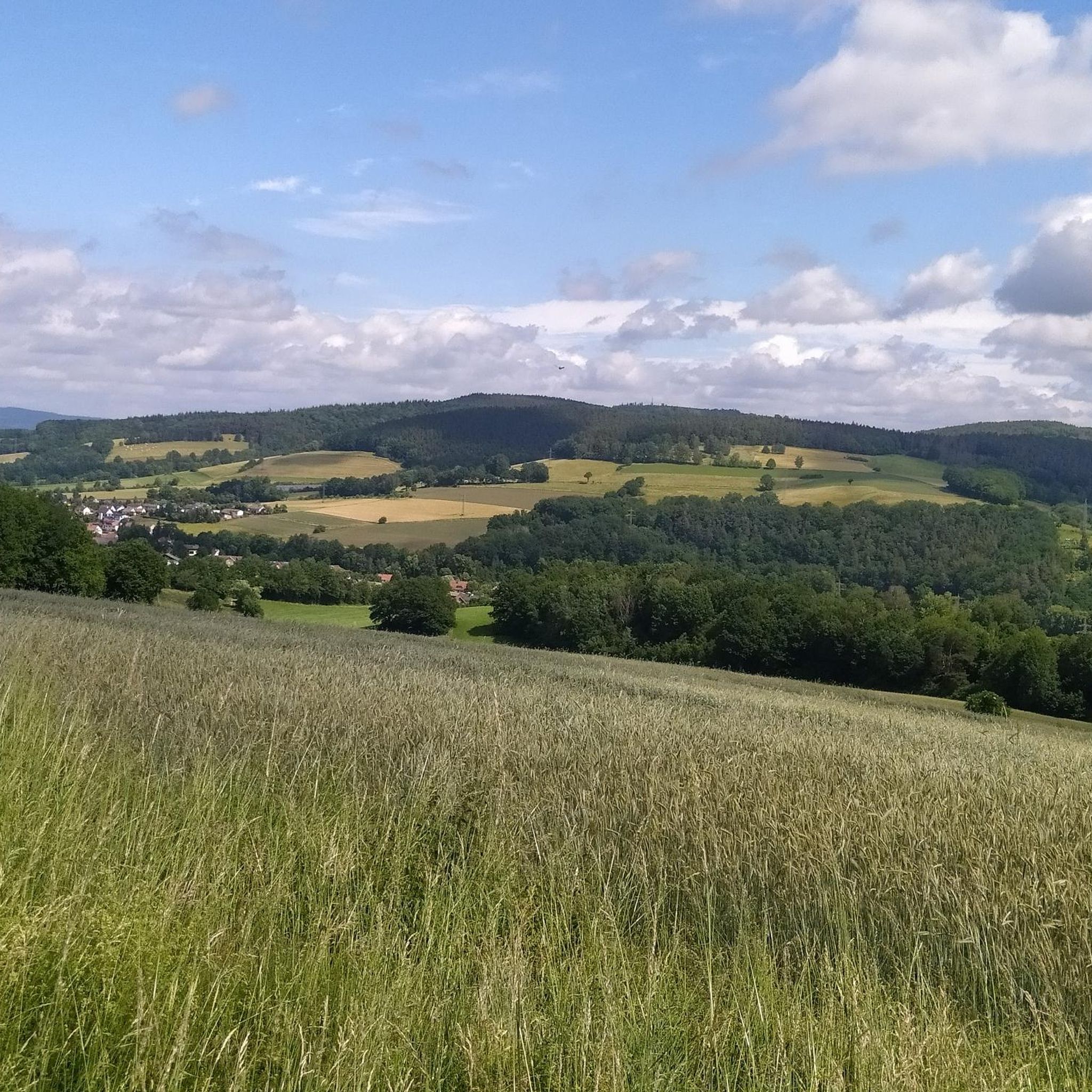
Tips from the Community

📍 Bechsteins Rast – intersection with six paths? Today I took a closer look at the signpost at Bechsteins Rast. Actually an inconspicuous spot in the middle of the forest – and yet at least five paths meet here. And then there's a sixth, but hidden path… 🤔 The clearest is the Homberg ↔ Bad Hersfeld axis: here runs the H34, the Hersfeld-Homberger-Höhenweg. To the north, it leads in the direction of Homberg, with the Gebrannte Kopf (493 m) waiting as the next prominent elevation. In the southern direction, the H34 leads over the Beiersrück (439 m) further to Bad Hersfeld. It gets more exciting with the remaining turn-offs: ↖ NNW leads downhill (several possibilities) to Obergeis. Towards → E, a forest path leads in the direction of Tann, above and parallel to the Hauksgrund. ↗ NNE, on the other hand, leads directly down into the Hauksgrund – probably not the shorter connection to Tann, but certainly the more scenic one. And then there's path No. 6: ↙ SSW branches off a path that is quite overgrown initially today. Those who are not deterred by this will find a quite passable old forest path further along, which leads in a curve downhill to Untergeis. Bechsteins Rast – four paths on the signpost, five (six) in the landscape. A small traffic junction in the middle of the forest, where you can choose all directions of the compass. 🥾🧭
0
0


So hidden and so interesting. I can only recommend packing this into the tour.
0
1

The tower is open again and can also be climbed.
2
0

Great view from the tower and really great that the view through the telescope costs nothing, just a shame that some idiot completely scratched the glass.
0
0

When the small observatory was built in 1971 and 1972 on the hill not far from the then-quietly used A4 motorway, the outskirts of the village were considerably farther away than they are today. Hardly any artificial light source obscured the stargazers' view of the night sky here, just outside the village gates. "Back then, this location was ideal," emphasizes Arnulf von der Stein after unlocking the massive outer door. Now 83, he witnessed the development of this rather functional, purpose-built building, whose appearance, thanks to its distinctive dome, nevertheless resembles a miniature cathedral, from its beginnings to its demise.
1
0

nice side route to the official route, single trail very easy to ride
1
0

Funny, from the allotment association
0
0
Frequently Asked Questions
What are the typical distances and difficulties of gravel bike trails in Hauneck?
Gravel bike trails in Hauneck vary significantly in length and challenge. You'll find routes ranging from around 23.5 miles (37.7 km) to over 31.5 miles (50.7 km). The region offers a good mix, with 17 moderate and 16 difficult routes, alongside at least one easier option, ensuring there's something for every skill level.
How long do gravel bike tours in Hauneck typically take?
The duration of gravel bike tours in Hauneck varies depending on the route and your pace. For example, the Fuldaaue near Rebra – Fuldawiesen near Meckbach loop from Wehneberg typically takes around 2 hours 31 minutes, while the longer View of Burghaun – Klausmarbach Viaduct loop from Hauneck can take about 3 hours 36 minutes.
Are there beginner-friendly gravel bike routes in Hauneck?
Yes, Hauneck offers options for beginners. While many routes are moderate to difficult, there is at least one easy gravel bike route available. These easier trails often follow the river plains and dedicated cycle paths, providing a gentler introduction to gravel biking in the region.
Where are common starting points or parking areas for gravel biking in Hauneck?
Many gravel bike routes in Hauneck start from local towns and villages. Common starting points mentioned in popular tours include Wehneberg, Motzfeld, Hauneck, and Steinbach. These locations typically offer parking facilities suitable for cyclists.
What kind of terrain can I expect on gravel bike trails in Hauneck?
The terrain in Hauneck is quite diverse. You can expect a mix of river plains, dedicated cycle paths, and rolling hills. Routes often follow the Fuldaaue and Fuldawiesen, providing varied surfaces and some elevation gains, making for an engaging gravel biking experience.
What are some scenic viewpoints or landmarks along the gravel routes in Hauneck?
Several routes offer scenic views and pass by notable landmarks. For instance, the View of Burghaun – Klausmarbach Viaduct loop from Hauneck provides views towards Burghaun and passes the impressive Klausmarbach Viaduct. You might also encounter highlights like the Planet Trail – Sun or the S-shaped Bridge over the Fulda.
Are there any natural attractions or lakes to see near the gravel bike trails?
Yes, the Hauneck region features several natural attractions. You can find lakes such as Stötzelsteich and Fuldasee, as well as natural monuments like the Kathuser Seeloch Natural Monument. These can offer pleasant stops or detours during your ride.
What do other gravel bikers enjoy most about gravel biking in Hauneck?
The komoot community highly rates gravel biking in Hauneck, with an average score of 4.6 stars from over 30 reviews. Cyclists often praise the diverse landscape, which includes river plains, dedicated cycle paths, and rolling hills, providing a varied and engaging experience for all ability levels.
Are there any loop trails for gravel biking in Hauneck?
Yes, many gravel bike routes in Hauneck are designed as loops, offering convenient starting and ending points. Examples include the Solztal Cycle Path – Fuldawiesen near Meckbach loop from Motzfeld and the Fuldaaue near Rebra loop from Wehneberg.
Can I find places to eat or drink near the gravel bike trails in Hauneck?
While specific cafes are not detailed, the region has towns and villages along the routes where you can find refreshments. For example, the Beer Garden Zur Weißen Dame is a highlight in the area, offering a place to relax and refuel.
How many gravel bike trails are available in the Hauneck region?
There are over 30 gravel bike trails available in the Hauneck region, offering a wide variety of options for different skill levels and preferences. This extensive network ensures plenty of opportunities for exploration.
Most popular routes around Hauneck
Most popular attractions around Hauneck

Get inspired with the komoot mobile app


Explore more
Browse the best Gravel rides in other regions.
