The best gravel rides around Haiger
4.6
(114)
605
riders
153
rides
Gravel biking around Haiger offers diverse terrain within the Lahn-Dill-Kreis of Hesse, Germany. The region is situated at the eastern edge of the Westerwald and the southern foothills of the Rothaargebirge, providing a varied low mountain range landscape. This area features extensive forests, rolling hills, and river valleys, making it suitable for off-road cycling. Haiger lies within the Naturpark Lahn-Dill-Bergland, which contributes to a network of trails ideal for gravel bikes.
Best gravel bike trails around Haiger
- The most popular gravel bike trail is Tiefenrother Höhe viewpoint – Dill Spring and Shelter loop from Sechshelden, a 28.9 miles (46.5 km) trail that takes 3 hours 39 minutes to complete. This difficult route includes a viewpoint and the source of the Dill river.
- Another top favourite among local gravel bikers is View of Offdilln – Ameisenweg Cycle Path loop from Dillbrecht, a moderate 12.4 miles (19.9 km) path. This route offers views of Offdilln and follows a designated cycle path.
- Local gravel bikers also love the Kalteiche Trail – Kalteiche Summit (580 m) loop from Langenaubach, a 23.1 miles (37.2 km) trail leading through the Kalteiche region, often completed in about 2 hours 54 minutes.
- Gravel biking around Haiger is defined by its low mountain range landscapes, extensive forests, and river valleys. The network offers options for different ability levels, from moderate paths to more difficult routes with significant elevation changes.
- The routes in Haiger are highly rated by the komoot community with an average score of 4.6 stars from over 280 reviews. More than 1200 gravel bikers have used komoot to explore Haiger's varied terrain.
Last updated: September 28, 2026
3.8
(4)
21
riders
Hard gravel ride. Very good fitness required. Mostly paved surfaces. Suitable for all skill levels.
4.5
(2)
7
riders
28.6km
02:04
480m
480m
Hard gravel ride. Very good fitness required. Mostly paved surfaces. Suitable for all skill levels.

4.5
(2)
9
riders
Hard gravel ride. Very good fitness required. Mostly paved surfaces. Suitable for all skill levels.
3.5
(2)
6
riders
22.5km
01:38
370m
370m
Moderate gravel ride. Good fitness required. Mostly paved surfaces. Suitable for all skill levels.
5.0
(2)
5
riders
43.5km
03:01
720m
720m
Hard gravel ride. Very good fitness required. Mostly paved surfaces. Suitable for all skill levels.
Get access to more routes and recommendations from other explorers.
Already have an account?
Our route recommendations are based on thousands of hikes, rides, and runs completed by other people on komoot.
Start today with a free account
Your next adventure awaits.
Popular around Haiger
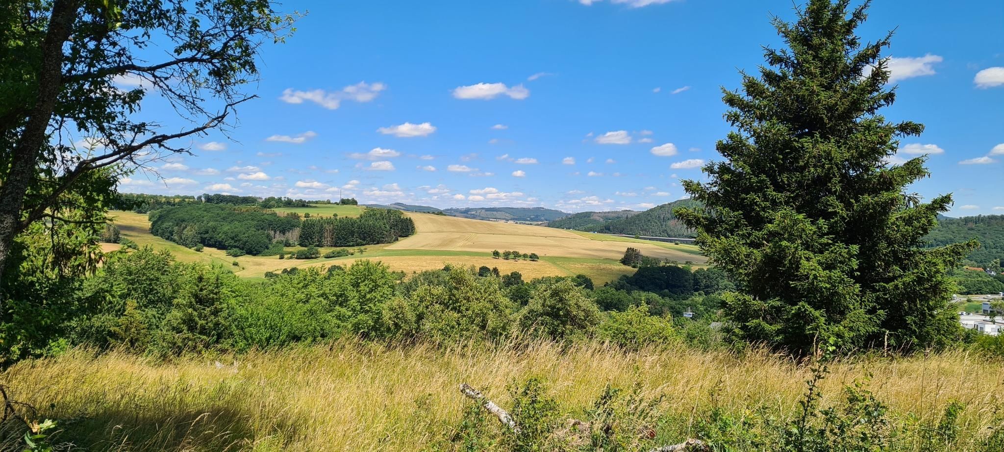
Hauberge and foxglove fields – hiking trails around Haiger
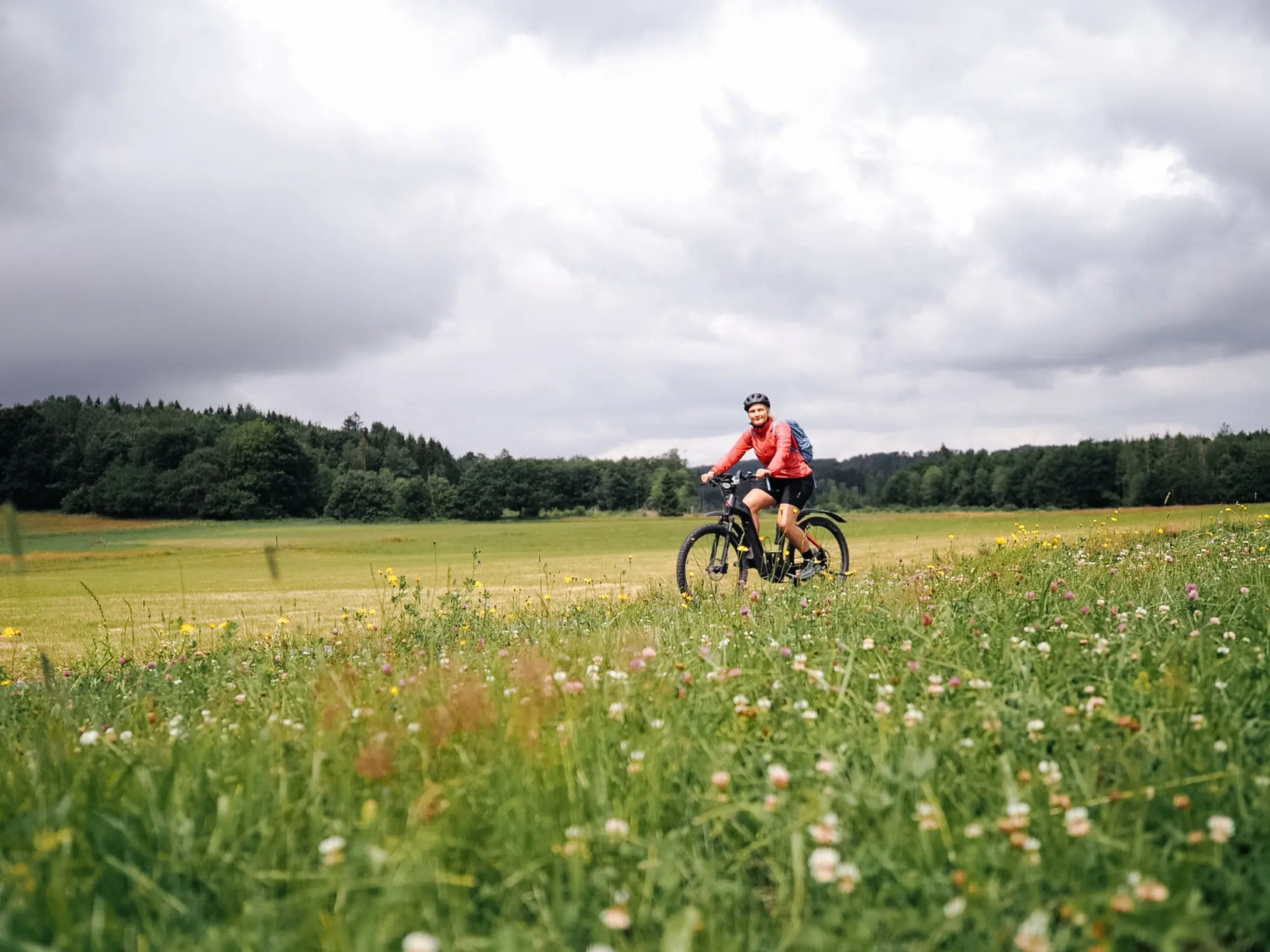
Vast views in the Westerwald – E-Bike fun with Fräulein Draußen
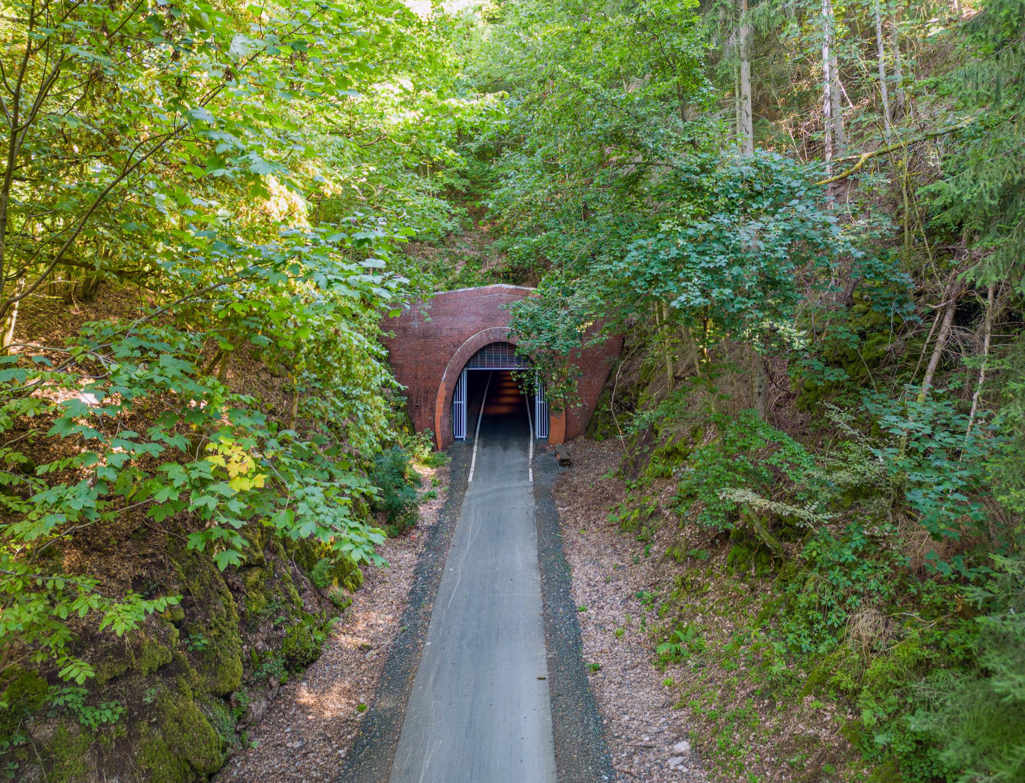
Get active on tunnel adventures & in the idyllic Dilltal – cycling around Haiger
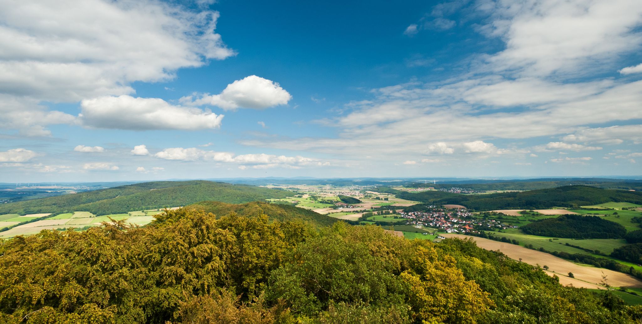
Hiking in the Lahn-Dill-Bergland Nature Park
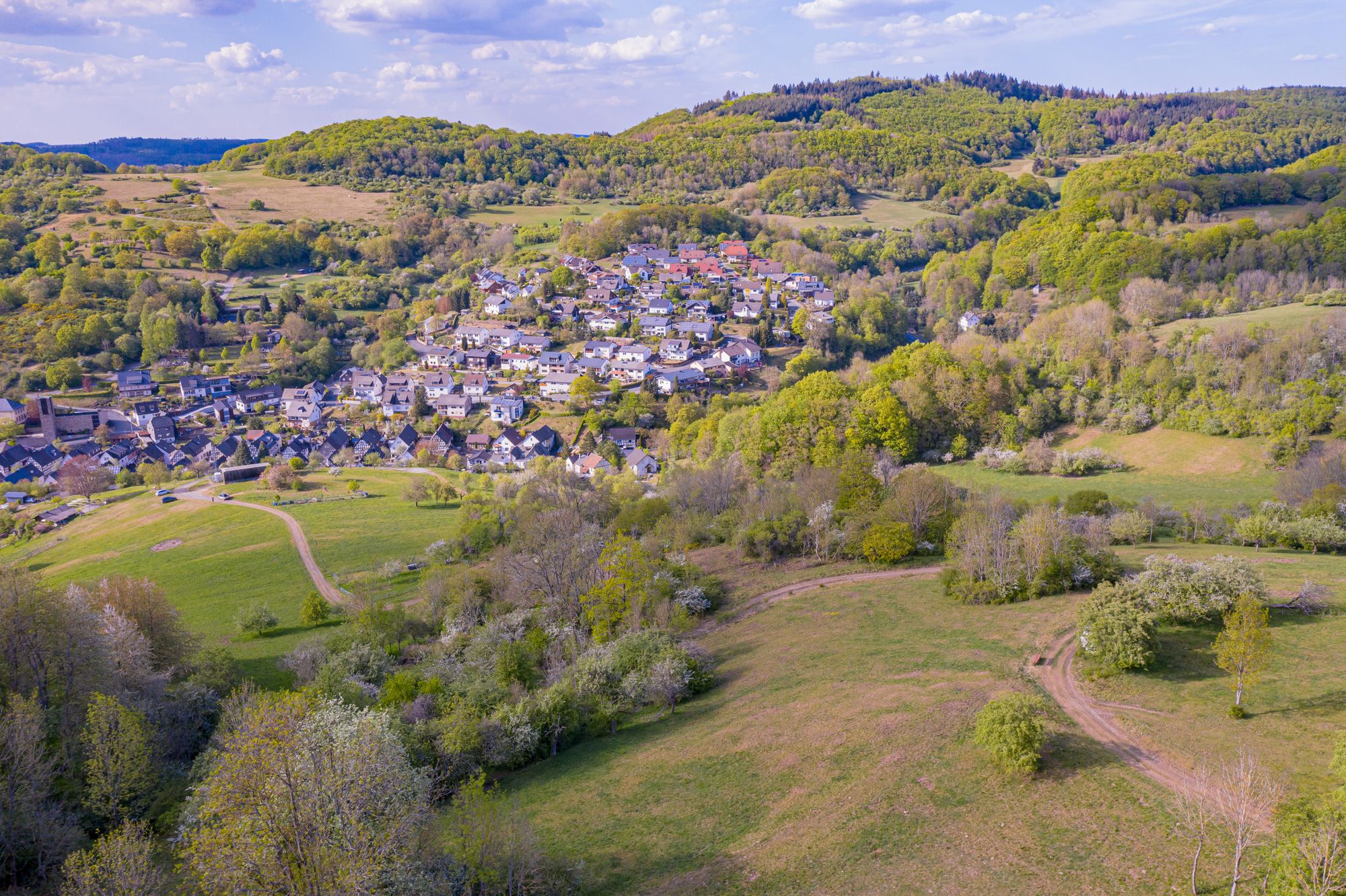
Die schönsten Tagestouren im Naturpark Lahn-Dill-Bergland
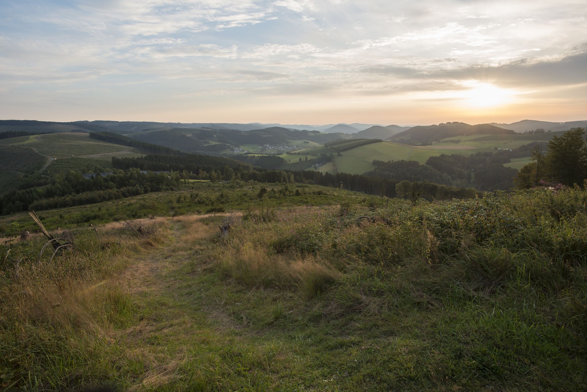
Forest, meadows, wonderland – hiking the Rothaarsteig Trails
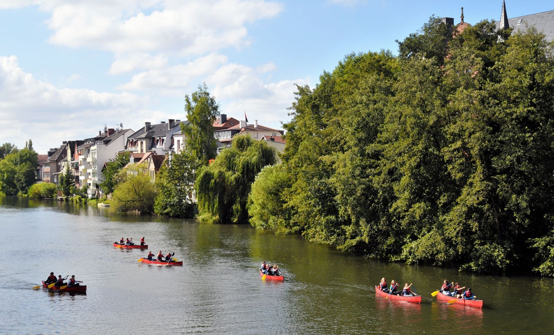
Wildromantische Flussradrouten – das Lahntal auf dem Fahrrad erkunden
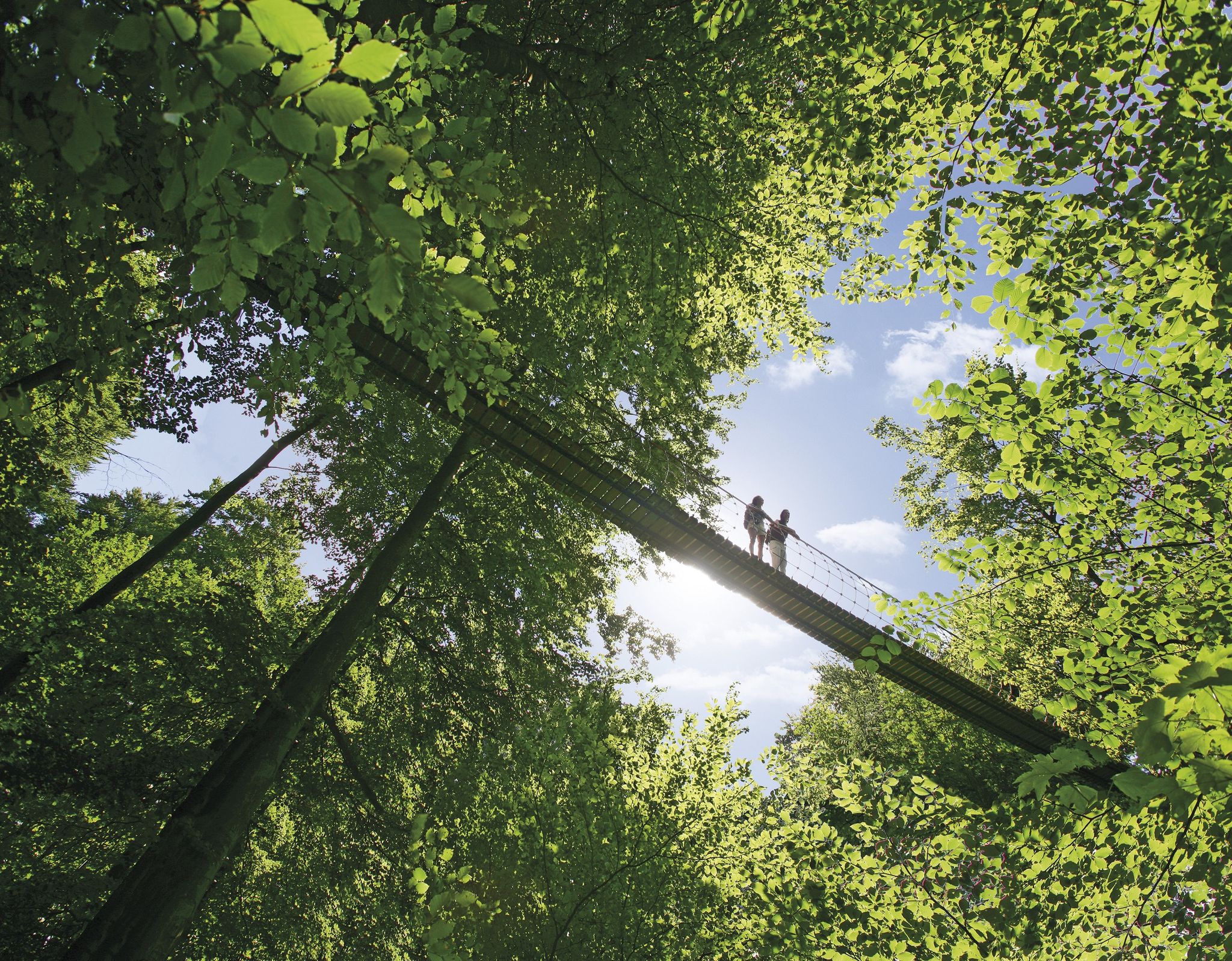
Mit Bus & Bahn den Rothaarsteig erkunden
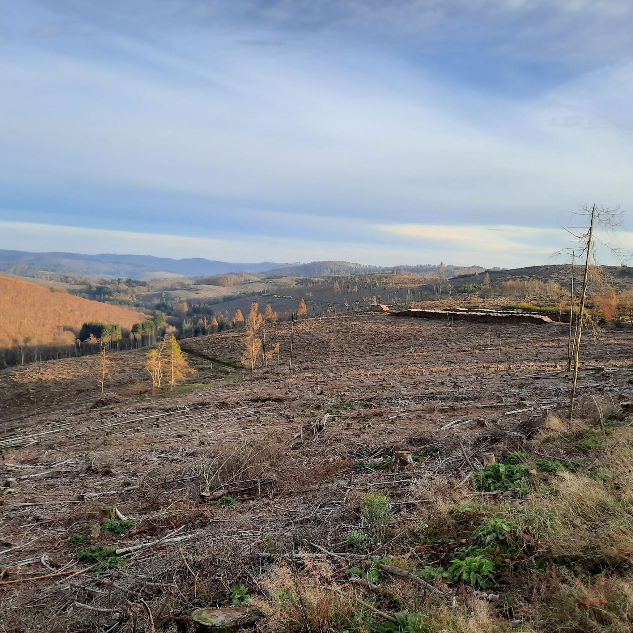
Hiking around Haiger
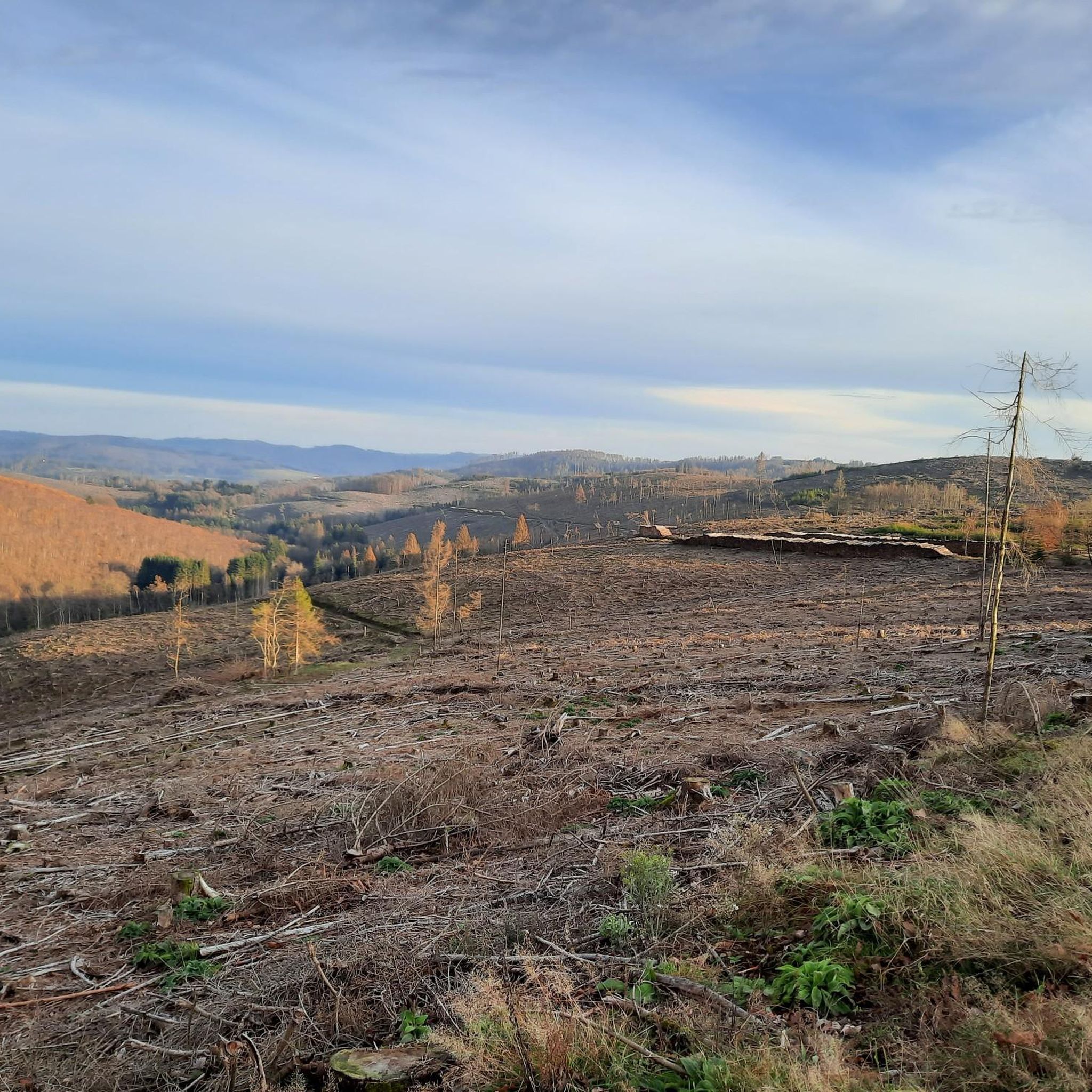
Cycling around Haiger
Other adventures around Haiger


Tips from the Community


Great signpost in the most diverse directions of the Lahn-Dill-Bergland and into Siegerland-Wittgenstein
0
0
Great views into the valley and onto the other elevations.
0
0

Beautiful views. Just a moment to relax.
0
0

Great village view, typical Siegerland
0
0

And again a nice resting place
1
0

Very nice viewpoint on the Wilhelmsturm
2
0
Mega view… Highly recommended… We'll be back, that's for sure 😉
0
0
Frequently Asked Questions
How many gravel bike trails are available around Haiger?
There are over 35 gravel bike trails around Haiger, offering a variety of experiences for different skill levels. The region's diverse landscape, including the Naturpark Lahn-Dill-Bergland, provides extensive networks suitable for gravel biking.
What kind of terrain can I expect on gravel bike trails in Haiger?
Gravel biking in Haiger features diverse low mountain range landscapes, situated at the eastern edge of the Westerwald and the southern foothills of the Rothaargebirge. You'll encounter extensive forests, rolling hills, and river valleys, with routes varying from moderate paths to more challenging trails with significant elevation changes.
Are there any easy or beginner-friendly gravel bike routes in Haiger?
While many routes offer a challenge, there are moderate options available. For instance, the View of Offdilln – Ameisenweg Cycle Path loop from Dillbrecht is a moderate 12.4-mile (19.9 km) path that follows a designated cycle path, making it a good choice for those looking for a less demanding ride.
What are some scenic viewpoints or natural landmarks I can visit on a gravel bike ride?
The region is rich in natural beauty. You can ride to the Tiefenrother Höhe viewpoint, which offers fantastic views over the Siegerland. Another notable natural feature is the Dill Spring, the source of the Dill river, which is part of the Tiefenrother Höhe viewpoint – Dill Spring and Shelter loop from Sechshelden.
Are there any routes that feature waterfalls or other water bodies?
Yes, the area around Haiger has several beautiful waterfalls and reservoirs. While not directly on a featured gravel route, you can explore highlights like the Sieg Waterfall or the Werthe Waterfall. The Driedorf Reservoir – Krombach Reservoir loop from Haiger also offers scenic views of water bodies.
What do other gravel bikers enjoy the most about gravel biking in Haiger?
The komoot community highly rates the gravel biking experience in Haiger, with an average score of 4.6 stars from over 280 reviews. Riders often praise the diverse low mountain range landscapes, the extensive forests, and the variety of trails that cater to different skill levels, from moderate paths to challenging routes with significant elevation changes.
Are there any long-distance or challenging gravel routes for experienced riders?
Absolutely. For experienced riders seeking a challenge, the View of Wilgersdorf – Rudersdorf Viaduct loop from Sechshelden is a difficult 37.9-mile (61.1 km) route with significant elevation gain. Another demanding option is the Kalteiche Trail – Kalteiche Summit (580 m) loop from Langenaubach, which takes you through the Kalteiche region.
Can I find circular gravel bike routes in the Haiger area?
Yes, many of the gravel bike trails around Haiger are designed as loops, allowing you to start and end at the same point. Examples include the Tiefenrother Höhe viewpoint – Dill Spring and Shelter loop from Sechshelden and the View of Offdilln – Ameisenweg Cycle Path loop from Dillbrecht, providing convenient options for your ride.
What is the best time of year for gravel biking in Haiger?
Haiger's diverse landscape is enjoyable throughout much of the year. Spring and autumn offer pleasant temperatures and vibrant scenery, with the changing colors of the extensive forests. Summer is also suitable, though some routes might be more exposed. Winter can be challenging due to weather conditions, but specific trails might still be accessible depending on snow and ice.
Are there any specific highlights or summits I can reach on a gravel bike?
Yes, you can aim for several notable points. The Kalteiche Summit (580 m) is a prominent peak in the region, accessible via routes like the Kalteiche Trail – Kalteiche Summit (580 m) loop from Langenaubach. The Tiefenrother Höhe viewpoint also offers a rewarding destination with panoramic views.
Is Haiger suitable for family-friendly gravel biking?
Haiger offers a mix of terrain, and while some routes are challenging, there are moderate paths that can be suitable for families with older children or those comfortable with longer distances. The designated cycle paths, such as sections of the View of Offdilln – Ameisenweg Cycle Path loop from Dillbrecht, provide smoother surfaces for a more relaxed family outing.
Most popular routes around Haiger
Most popular attractions around Haiger

Get inspired with the komoot mobile app


Explore more
Browse the best Gravel rides in other regions.
