The best gravel rides around Neufraunhofen
4.8
(5)
17
riders
7
rides
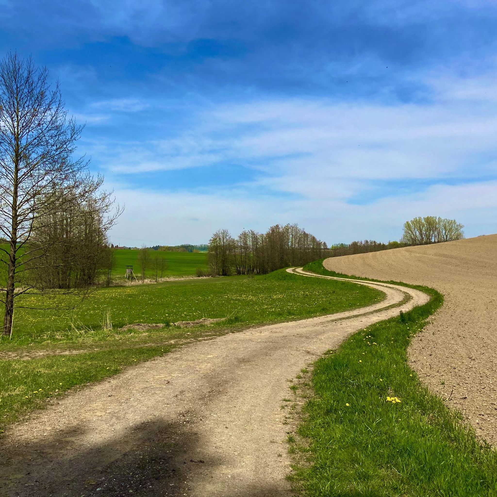
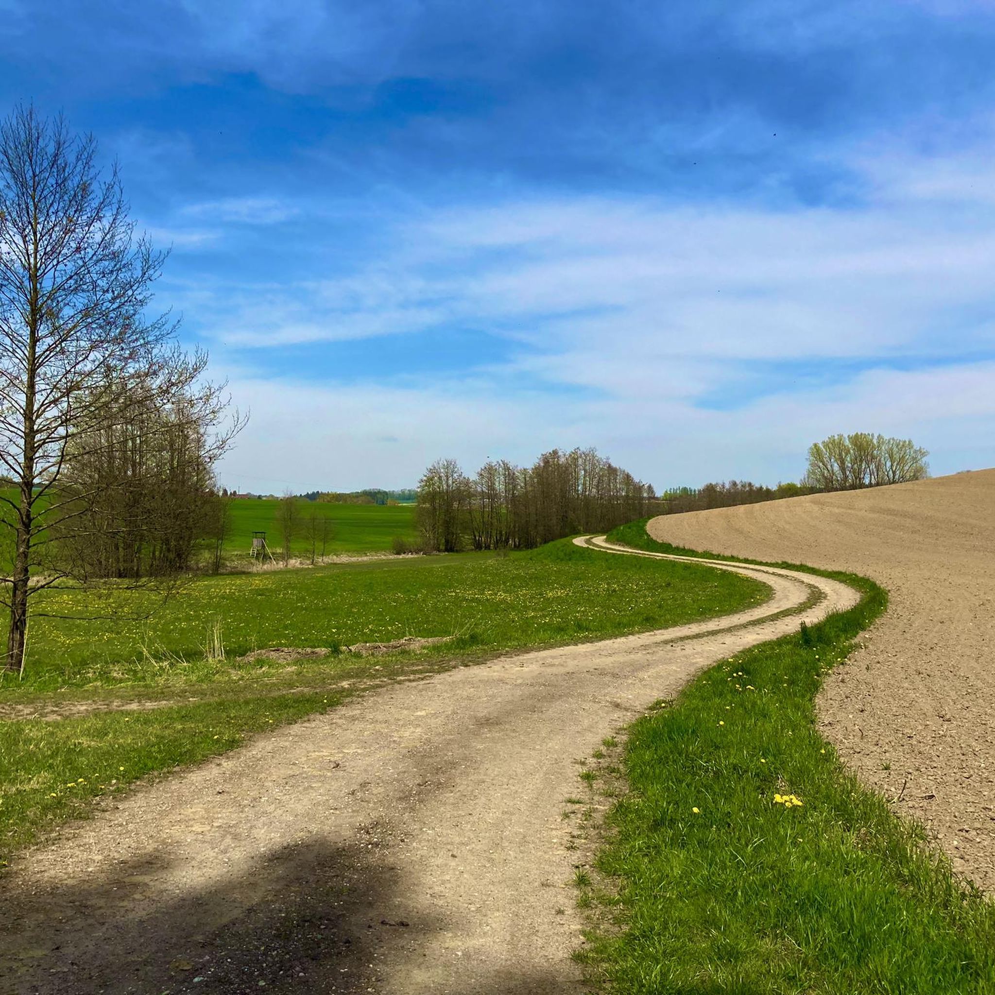
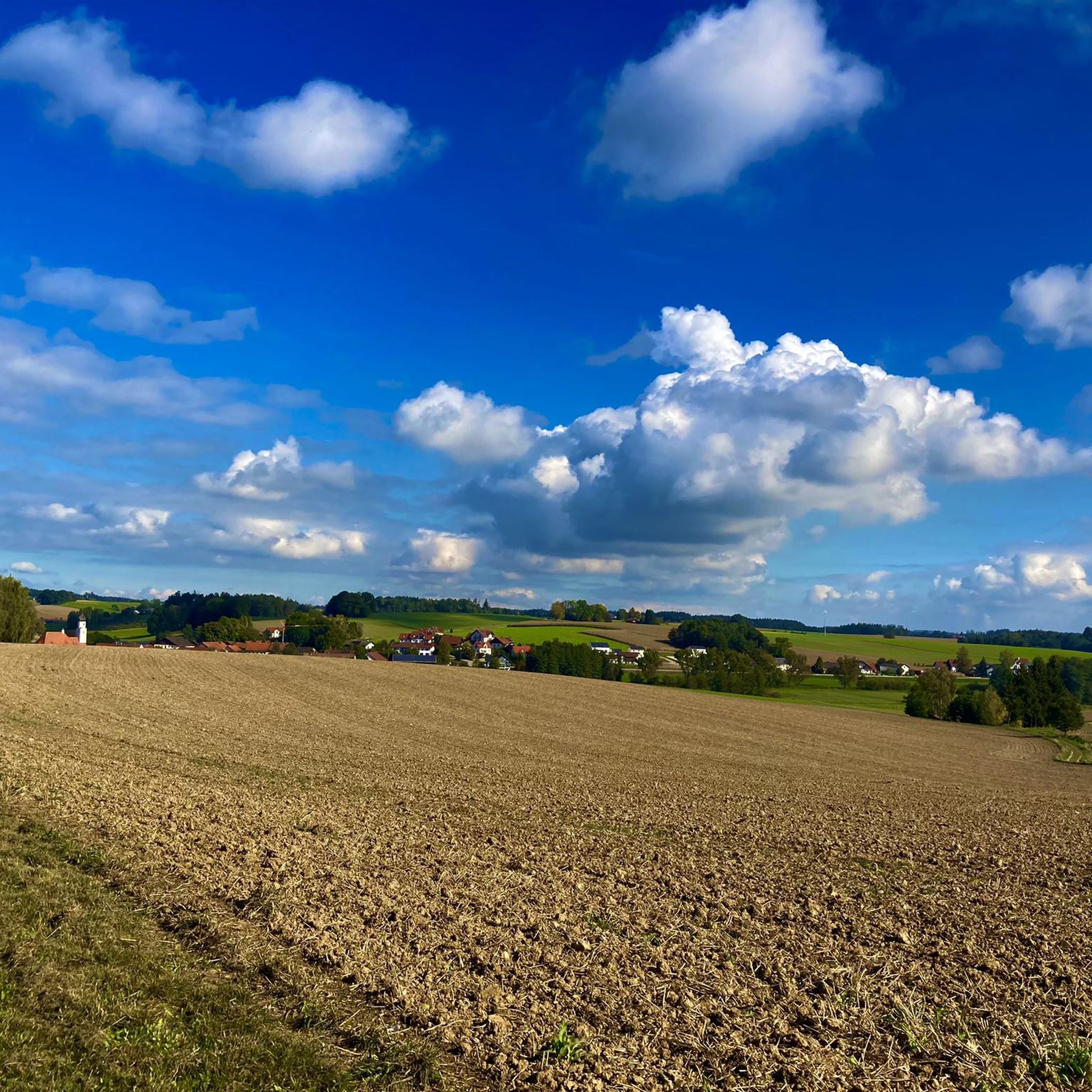
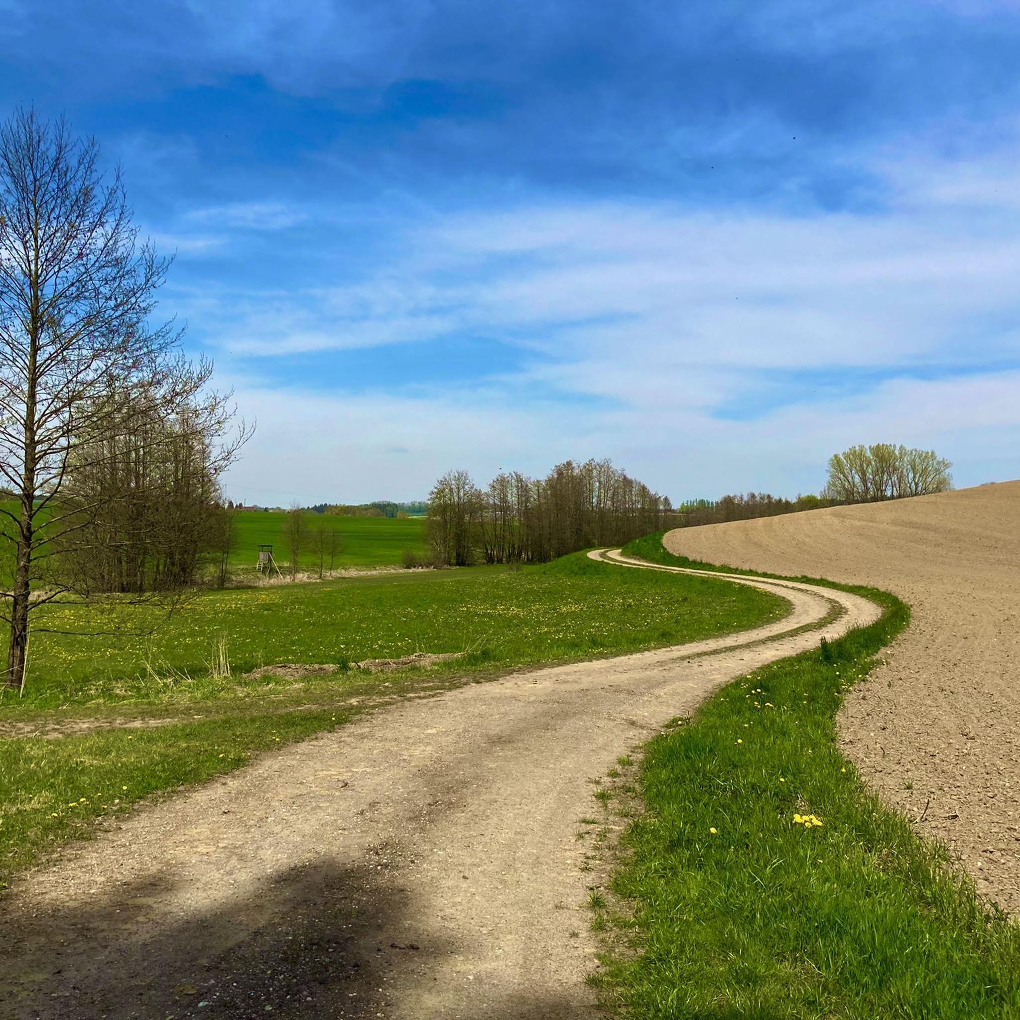
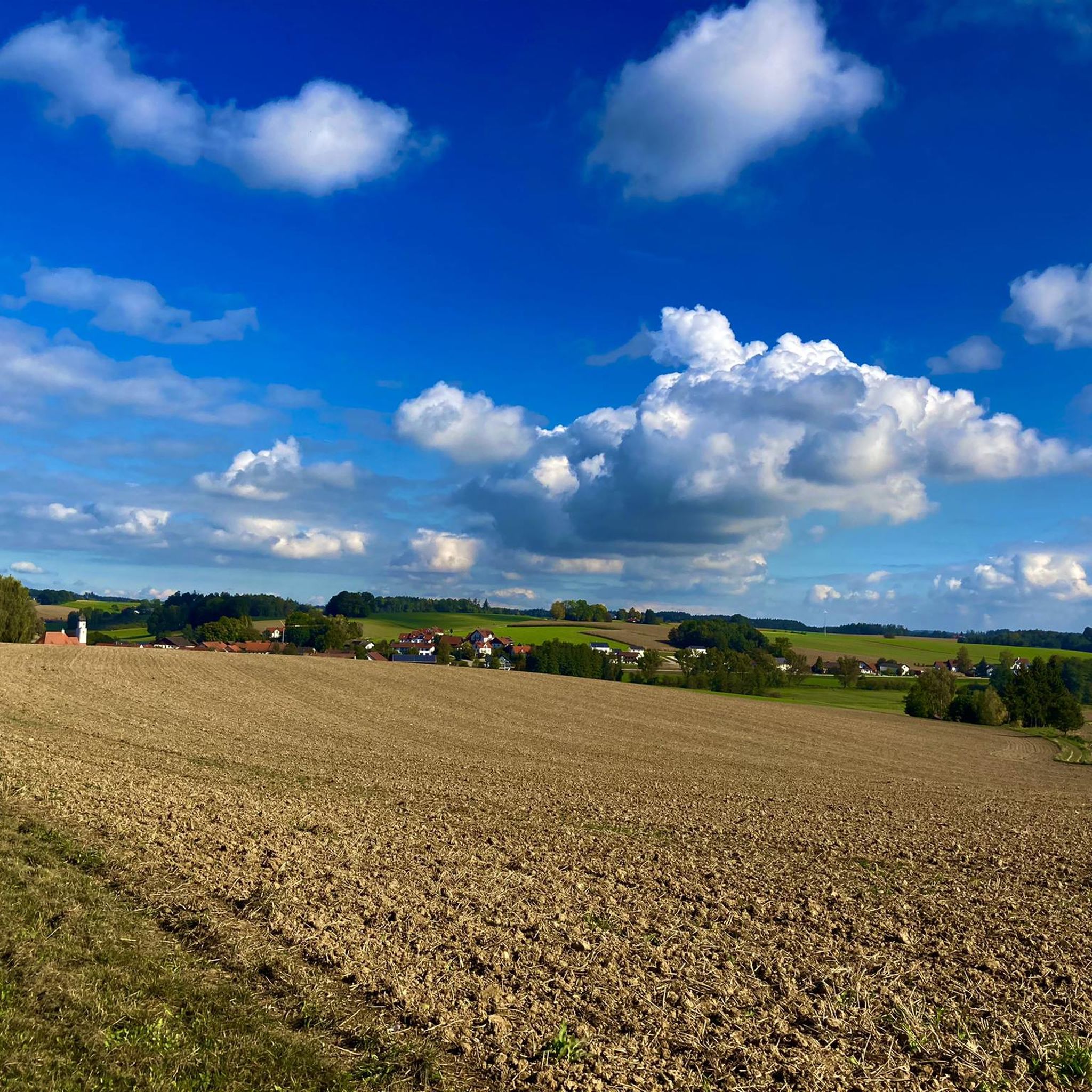
Gravel biking around Neufraunhofen offers diverse landscapes within Lower Bavaria, characterized by a blend of forests, meadows, and undulating hills. The region features a network of paths suitable for exploration, including packed earth trails and gravel roads. Riders can expect varied terrain, from field and forest paths to some short single trails, often within a gently rolling, agriculturally shaped environment. The Vils river valley is a significant natural feature, providing scenic routes for gravel cyclists.
Best gravel bike trails around…
Last updated: July 2, 2026
5.0
(1)
5
riders
Hard gravel ride. Very good fitness required. You may need to push your bike for some segments of this route.
4.7
(3)
5
riders
74.6km
04:15
530m
530m
Hard gravel ride. Very good fitness required. You may need to push your bike for some segments of this route.

Sign up for free
2
riders
14.2km
00:57
130m
130m
Easy gravel ride. Great for any fitness level. Mostly paved surfaces. Suitable for all skill levels.
5.0
(1)
2
riders
Easy gravel ride. Great for any fitness level. Mostly paved surfaces. Suitable for all skill levels.
2
riders
20.4km
01:16
190m
190m
Moderate gravel ride. Good fitness required. Mostly paved surfaces. Suitable for all skill levels.
Get access to more routes and recommendations from other explorers.
Sign up for free
Already have an account?
Our route recommendations are based on thousands of hikes, rides, and runs completed by other people on komoot.
Start today with a free account
Your next adventure awaits.
Login or Signup
Tips from the Community

Great city with many beautiful little pubs on the Isar.
0
0

A great, well-organized beer garden 👍🏻😄
0
0

There's a good view from the bridge, but you can only guess at the Isar from the bike path.
0
0

There is really good ice cream here at the market square.
2
0

Fantastic view of the old town, simply beautiful
0
0
A magnificent backdrop above the rushing river. Especially impressive when the Isar is in flood!
0
0

The Church of the Presentation of the Virgin Mary was built at the end of the 17th century as a pilgrimage church on an unusual circular floor plan. In 1707, the then lord of the castle, Borgia Plankh, had the image of the Virgin Mary "Maria Einsiedeln," venerated by numerous pilgrims, transferred from the castle chapel to the church chapel he had built. The church was destroyed by fire in 1818 and was rebuilt in the Neoclassical style. (https://www.erzbistum-muenchen.de/pfarrei/pv-altfraunhofen/cont/75041)
0
0
At the center of the village north of Vilsheim stands the stately Kapfing Castle. A Werinher de Chapfingen was first mentioned in the last quarter of the 11th century, and the first reliable information about the castle dates back to the 13th century. Kapfing developed as a typical settlement around the castle. From 1415 to 1643, it was owned by the later Barons von Eckher, and until 1780, it was owned by the Barons von Goder. In 1702, Hieronymus Count von Spreti came to the court of Elector Max Emanuel as a page, and through his third marriage to Antonia Baroness von Goder in 1754, Kapfing Castle became the ancestral seat of the Counts von Spreti from 1780 onward. With the death of Wolfram Count von Spreti in 2004, who had previously become heavily indebted, the castle and its lands passed to the Bavarian state. In 2007, Nikolaus Weber-Henschel acquired the property. (Wikipedia)
0
0
Frequently Asked Questions
What kind of terrain can I expect on gravel bike trails around Neufraunhofen?
The Neufraunhofen region, nestled in Lower Bavaria, offers a diverse mix of terrain ideal for gravel biking. You'll encounter packed earth trails, gravel roads winding through wooded areas, open countryside, meadows, and undulating hills. Many routes utilize quiet cycle paths, including sections of converted railway lines, providing a varied and engaging experience.
Are there any family-friendly gravel biking options in Neufraunhofen?
Yes, Neufraunhofen offers several options suitable for families. Out of the 22 available gravel bike routes, 3 are classified as easy, making them a great choice for a more relaxed family outing. These routes typically feature gentler gradients and less technical terrain, perfect for enjoying the scenic landscapes together.
What are the difficulty levels of gravel bike routes in this area?
The gravel bike routes around Neufraunhofen cater to various skill levels. You'll find a good mix, with 3 easy routes, 10 moderate routes, and 9 difficult routes. This variety ensures that both beginners and experienced gravel bikers can find suitable challenges.
Can I bring my dog on the gravel bike trails?
While the guide doesn't specify dog-friendly routes, many of the natural paths and quiet cycle ways around Neufraunhofen are generally suitable for cycling with dogs, provided they are well-behaved and kept on a leash where necessary. Always be mindful of local regulations and other trail users. The region's blend of forests and open areas offers plenty of space for your canine companion.
What historical landmarks or natural features can I see along the routes?
The region is rich in both history and natural beauty. You can encounter landmarks like the historic Neufraunhofen Castle, a cultural monument dating back to 1393, and its associated baroque church, St. Johannes der Täufer. For natural features, explore areas near the Watershed Inn–Danube at Hauser Höhe or the Inn-Danube Watershed. Some routes also pass by reservoirs, offering scenic views.
Are there any circular gravel bike routes available?
Yes, many of the gravel bike routes around Neufraunhofen are designed as loops, allowing you to start and end at the same point. For example, the Vilstal Reservoir near Steinberg – Vilstal Lake loop from Geisenhausen and the Landshut Old Town – Path Along Altheimer Reservoir loop from Geisenhausen are popular circular options that explore different parts of the region.
What is the best time of year for gravel biking in Neufraunhofen?
The region is generally pleasant for gravel biking from spring through autumn. The natural landscapes, including forests and meadows, are particularly beautiful during these seasons. While winter biking is possible, be prepared for colder temperatures and potentially icy or muddy conditions on unpaved sections.
Where can I find parking for gravel biking in Neufraunhofen?
While specific parking locations for each route are not detailed here, Neufraunhofen and its surrounding villages typically offer public parking facilities. For routes starting from towns like Geisenhausen or Altfraunhofen, you can usually find parking near the town centers or designated trailheads. It's advisable to check local parking options before your trip.
Are there cafes or restaurants along the gravel bike routes?
The region around Neufraunhofen, including nearby towns and villages, offers various opportunities for refreshments. While specific cafes directly on every trail are not guaranteed, you can often find traditional Bavarian inns and restaurants in the communities you pass through, such as those near Landshut Old Town or in smaller villages. The Schlosswirtschaft in Haarbach is one such option.
What do other gravel bikers say about the routes in Neufraunhofen?
The gravel biking experience around Neufraunhofen is highly regarded by the komoot community, with an impressive average rating of 4.9 stars from over 8 reviews. Riders often praise the diverse landscapes, the mix of quiet cycle paths and unpaved sections, and the opportunity to explore both natural beauty and historical landmarks.
How long are the gravel bike trails around Neufraunhofen?
The length of gravel bike trails in the Neufraunhofen area varies significantly. You can find shorter routes, such as the Landshut Communication Tower – Path Along Altheimer Reservoir loop from Altfraunhofen at 42.9 km (26.7 miles), which takes about 2 hours 47 minutes. Longer, more challenging routes like the Landshut Old Town – Path Along Altheimer Reservoir loop from Geisenhausen extend to 83.8 km (52.1 miles) and can take nearly 6 hours to complete.
Most popular routes around Neufraunhofen
Most popular attractions around Neufraunhofen

Get inspired with the komoot mobile app


Explore more
Browse the best Gravel rides in other regions.
