The best gravel rides around Neustadt am Rennsteig
4.8
(76)
451
riders
90
rides
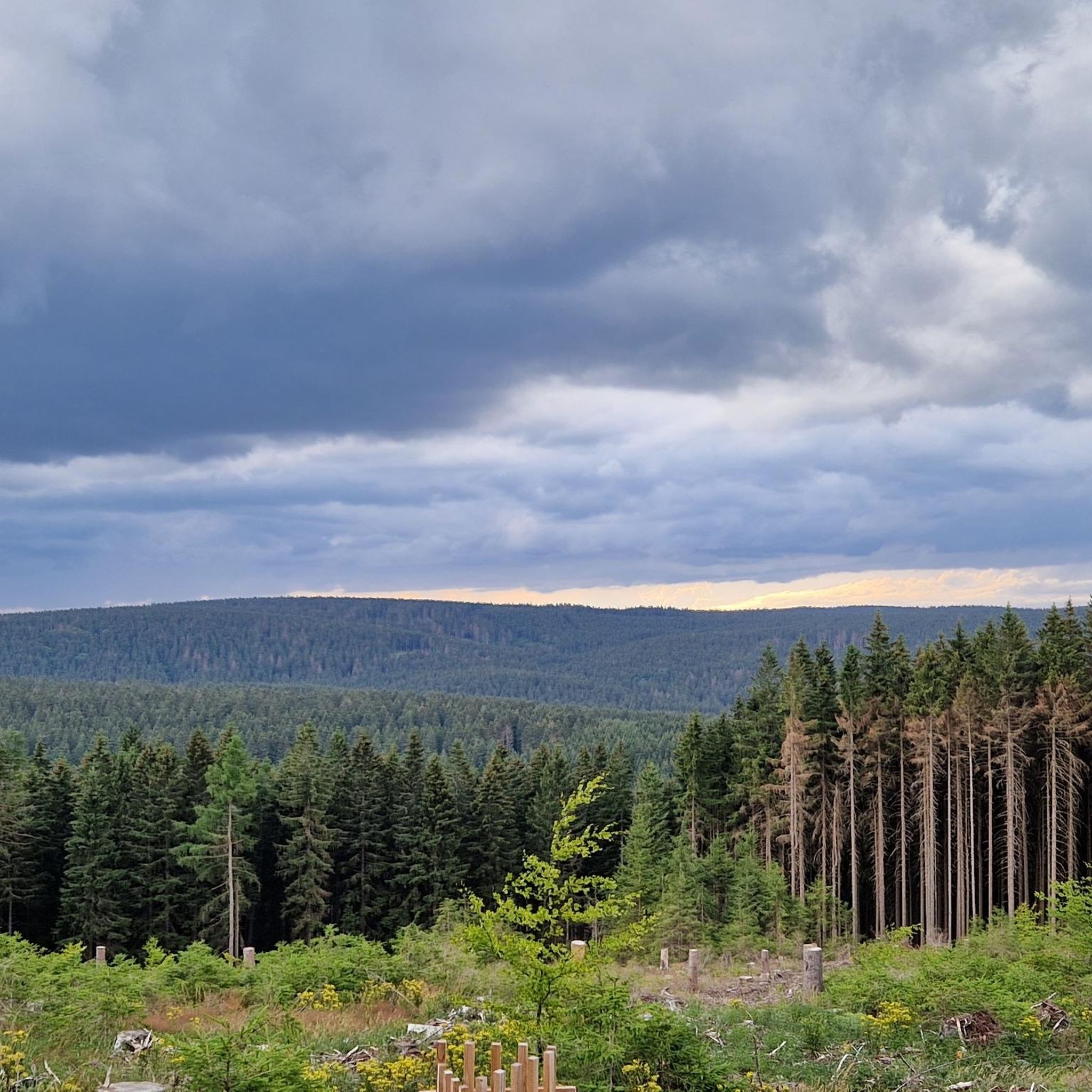
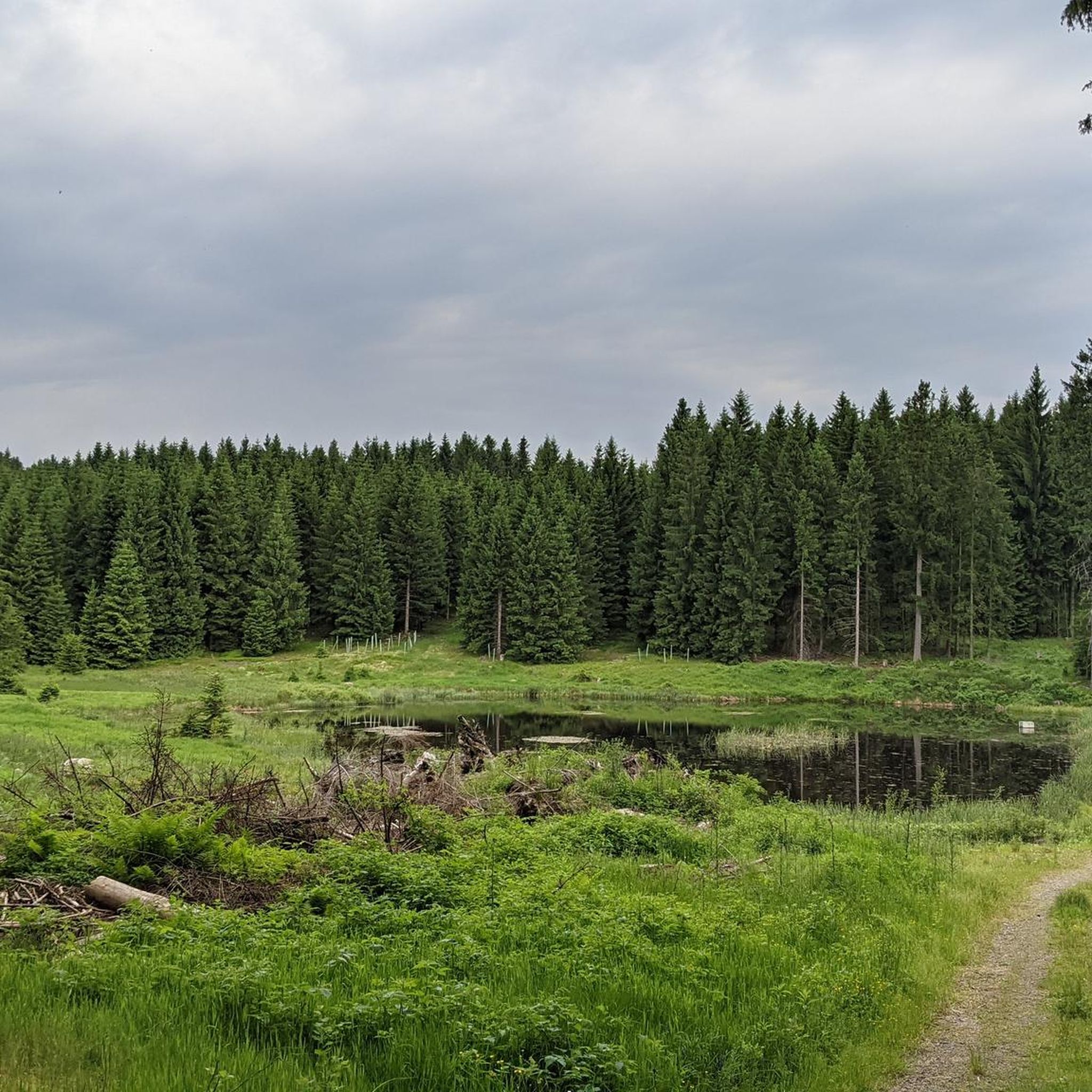
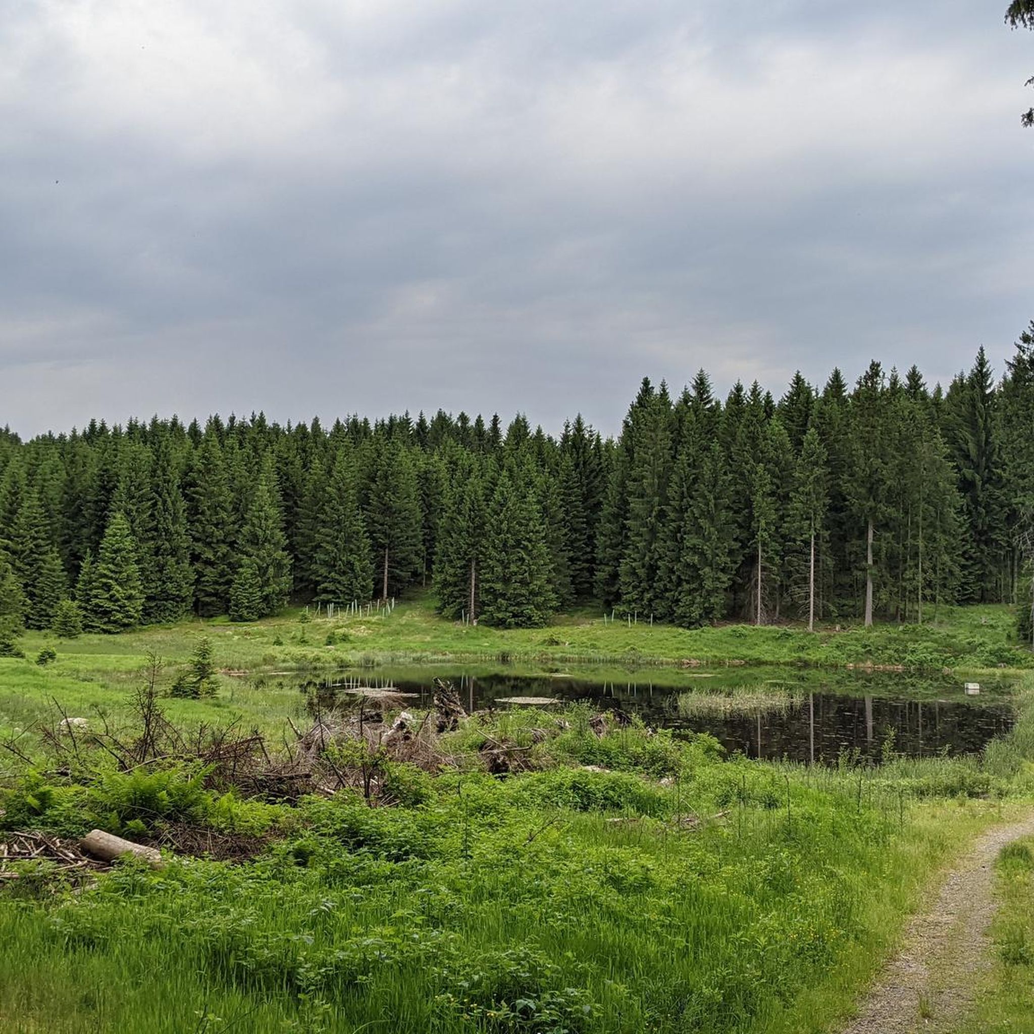
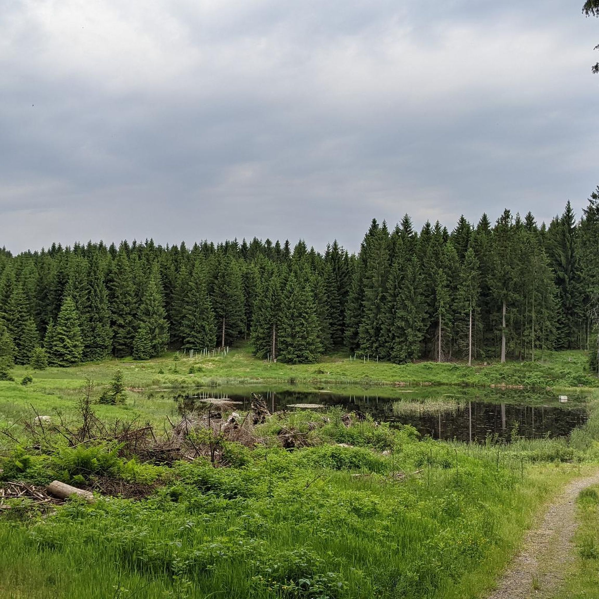
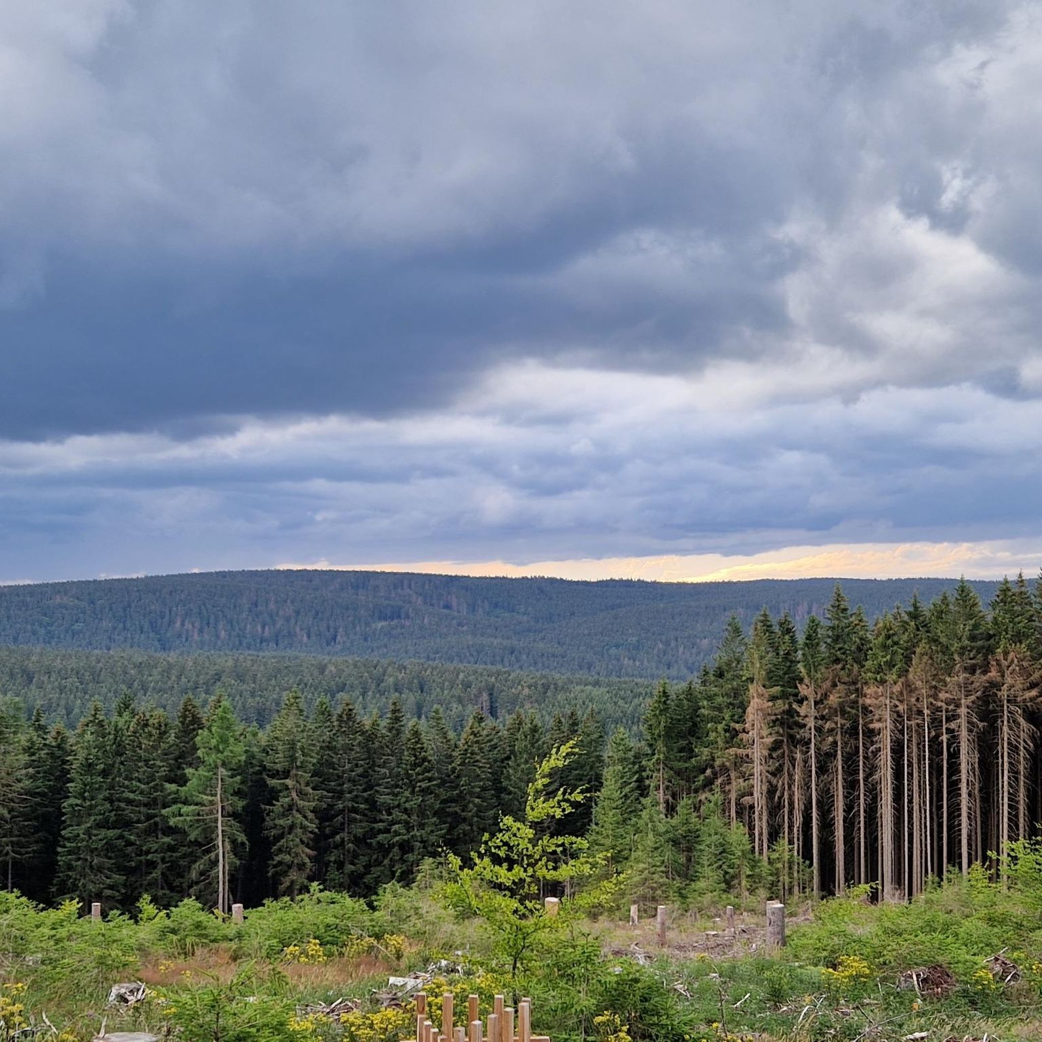
Gravel biking around Neustadt am Rennsteig offers access to the diverse landscapes of the Thuringian Forest, a region characterized by rolling hills, deep forests, and picturesque valleys. The area is situated directly on the historic Rennsteig, providing extensive forest roads and dedicated cycle paths suitable for gravel bikes. This environment features clean mountain air and a well-signposted network of trails that lead through romantic side valleys and past mountain meadows.
Best gravel bike trails around Neustadt am Rennsteig
- The most…
Last updated: October 6, 2026
3.6
(8)
52
riders
63.5km
03:56
830m
830m
Hard gravel ride. Very good fitness required. Mostly paved surfaces. Suitable for all skill levels.
3.7
(7)
25
riders
Hard gravel ride. Very good fitness required. You may need to push your bike for some segments of this route.

4.5
(4)
28
riders
48.8km
02:50
620m
620m
Hard gravel ride. Very good fitness required. Mostly paved surfaces. Suitable for all skill levels.
5.0
(1)
15
riders
21.6km
01:29
480m
480m
Hard gravel ride. Very good fitness required. Mostly paved surfaces. Suitable for all skill levels.
5.0
(3)
17
riders
Hard gravel ride. Very good fitness required. Mostly paved surfaces. Suitable for all skill levels.
Get access to more routes and recommendations from other explorers.
Already have an account?
Our route recommendations are based on thousands of hikes, rides, and runs completed by other people on komoot.
Start today with a free account
Your next adventure awaits.
Popular around Neustadt am Rennsteig

Other adventures around Neustadt am Rennsteig

Tips from the Community

The Große Dreiherrenstein (808 m) is a prominent historical border point and a central junction on the Rennsteig in the Thuringian Forest. The stone marks the historical border between the former lordships of Saxe-Weimar-Eisenach, Schwarzburg-Sondershausen, and Henneberg/Prussia.
4
0

The loop around the Schönbrunn reservoir is about 14 km. There are enough resting places and views to enjoy are included anyway.
0
0

Top location on the Rennsteig: The proximity to the famous ridge trail allows for a combination of forest descents and ridge tours. Varied topography: Steep ascents from the Tannengrund or Reuscheltal demand stamina, but reward with brisk descents. Nature experience: The reservoir, with its bays, is reminiscent of a small fjord landscape in the middle of the dense low mountain forest. Tour combinations: Perfect as a stopover or turning point for larger loops, which often start in Schleusingen or Masserberg.
3
0
The Schönbrunn dam is located in the southern Thuringian Forest in the municipality of Schleusegrund (Hildburghausen district, Thuringia). It was commissioned in 1977. The dam is located about 20 kilometers south of Ilmenau and 15 kilometers northeast of Schleusingen. The river Schleuse is dammed. Source: https://de.wikipedia.org/wiki/Talsperre_Sch%C3%B6nbrunn#:~:text=Die%20Talsperre%20Sch%C3%B6nbrunn%20liegt%20im,Gestaut%20wird%20der%20Fluss%20Schleuse.
3
0
The Schönbrunn dam in the Thuringian Forest is attractive for mountain biking due to its charming combination of idyllic, flat shore paths and challenging, hilly ascents in the surrounding mountainous terrain around the Rennsteig. The circuit offers constant views of the blue water of the reservoir and the forest-rich heights of the Thuringian Forest.
3
0

Relaxing for young and old and a joy for children
0
0

It's a great place for hiking.
0
0

Large intersection with many small roads.
2
0
Frequently Asked Questions
How many gravel bike trails are available around Neustadt am Rennsteig?
There are over 100 gravel bike routes in the Neustadt am Rennsteig area, offering a wide range of options for exploration. The majority of these routes are rated as moderate to difficult, providing a good challenge for experienced riders.
What kind of terrain can I expect on gravel bike trails in Neustadt am Rennsteig?
Gravel biking around Neustadt am Rennsteig features diverse terrain, primarily characterized by rolling hills, deep forests, and picturesque valleys. You'll encounter extensive forest roads and dedicated cycle paths, including sections of the Rennsteig Cycle Path, which are well-suited for gravel bikes. The region is part of the UNESCO Biosphere Reserve Thuringian Forest, ensuring clean mountain air and scenic natural surroundings.
Are there any family-friendly gravel biking options in Neustadt am Rennsteig?
While many routes are moderate to difficult, the region does offer some easier paths suitable for families. The Rennsteig Cycle Path, for instance, utilizes tranquil forest roads and paved side roads, bypassing the more challenging sections of the hiking trail, which can be a good starting point for families looking for less strenuous rides. Always check the route details for specific difficulty ratings.
What are the best times of year for gravel biking in Neustadt am Rennsteig?
The best time for gravel biking in Neustadt am Rennsteig is typically from spring through autumn. During these seasons, the weather is generally mild, and the forest trails are in good condition. The region transforms into a winter sports paradise in colder months, making many gravel paths less accessible due to snow and ice.
What can I see along the gravel bike trails in terms of landmarks and viewpoints?
Many gravel routes offer access to stunning viewpoints and historical landmarks. You can find several observation towers providing panoramic views, such as the Kickelhahn Tower, the Rennsteigwarte on Eselsberg, and the Adlersberg Observation Tower. Near the Kickelhahn Tower, you can also find the Goethehäuschen, a site of cultural significance.
Are there any circular gravel bike routes available?
Yes, many gravel routes in the area are designed as loops, allowing you to start and end at the same point. An example is the challenging Schönbrunn Reservoir – Schönbrunn Reservoir loop from Frauenwald, which offers varied terrain and scenic views around the reservoir.
What do other gravel bikers enjoy most about the trails in Neustadt am Rennsteig?
The gravel biking experience in Neustadt am Rennsteig is highly rated by the komoot community, with an average score of 4.7 stars. Riders often praise the region's extensive network of forest roads, the beautiful natural landscapes of the Thuringian Forest, and the challenging yet rewarding elevation profiles that offer a true adventure.
Are there any routes that pass by the Schönbrunn Reservoir?
Yes, the Schönbrunn Reservoir is a prominent feature in the local landscape. You can explore routes like the Schönbrunn Reservoir – View of the Schönbrunn Reservoir loop from Stützerbach, which offers great views of the reservoir and surrounding nature.
Can I access gravel bike routes using public transport in Neustadt am Rennsteig?
Neustadt am Rennsteig is situated directly on the Rennsteig, and the region generally offers good access to trails. While specific public transport connections to trailheads vary, the presence of the Rennsteig Train Station suggests some accessibility. It's advisable to check local bus and train schedules for the most convenient access points to your chosen route.
Are there any long-distance gravel biking adventures starting near Neustadt am Rennsteig?
Absolutely. The region is directly on the Rennsteig, and the adjacent Rennsteig Cycle Path offers a substantial long-distance gravel adventure. This path covers 195 kilometers with approximately 3300 meters of altitude, utilizing forest roads and paved side roads, making it perfect for multi-day gravel tours through the Thuringian Forest.
Where can I find a route that offers panoramic valley views?
For panoramic valley views, consider the Rennsteig Train Station – Valley view from the Schmücke loop from Allzunah. This route leads through dense woodlands and provides expansive vistas over the valleys and heights of the Thuringian Forest.
Are there any routes that explore the area around Schwarzburg Castle?
Yes, you can find routes that venture towards notable landmarks like Schwarzburg Castle. The Schwarzburg Castle loop from Altenfeld is a longer, challenging route that takes you through the Thuringian Forest, offering significant elevation gain and exploration of the broader region.
Most popular routes around Neustadt am Rennsteig
Most popular attractions around Neustadt am Rennsteig

Get inspired with the komoot mobile app


Explore more
Browse the best Gravel rides in other regions.
