The best gravel rides around Neusiß
4.8
(70)
362
riders
77
rides
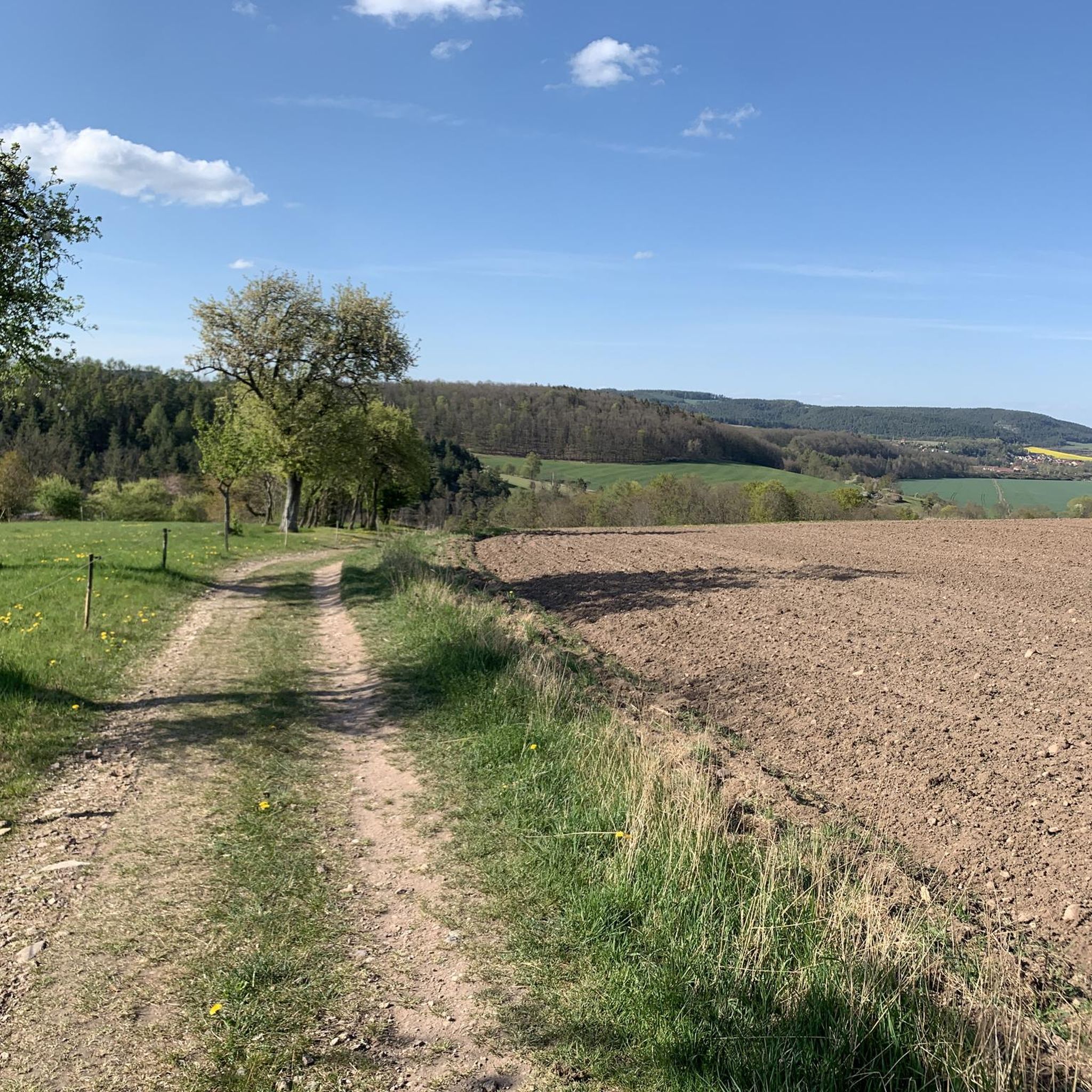
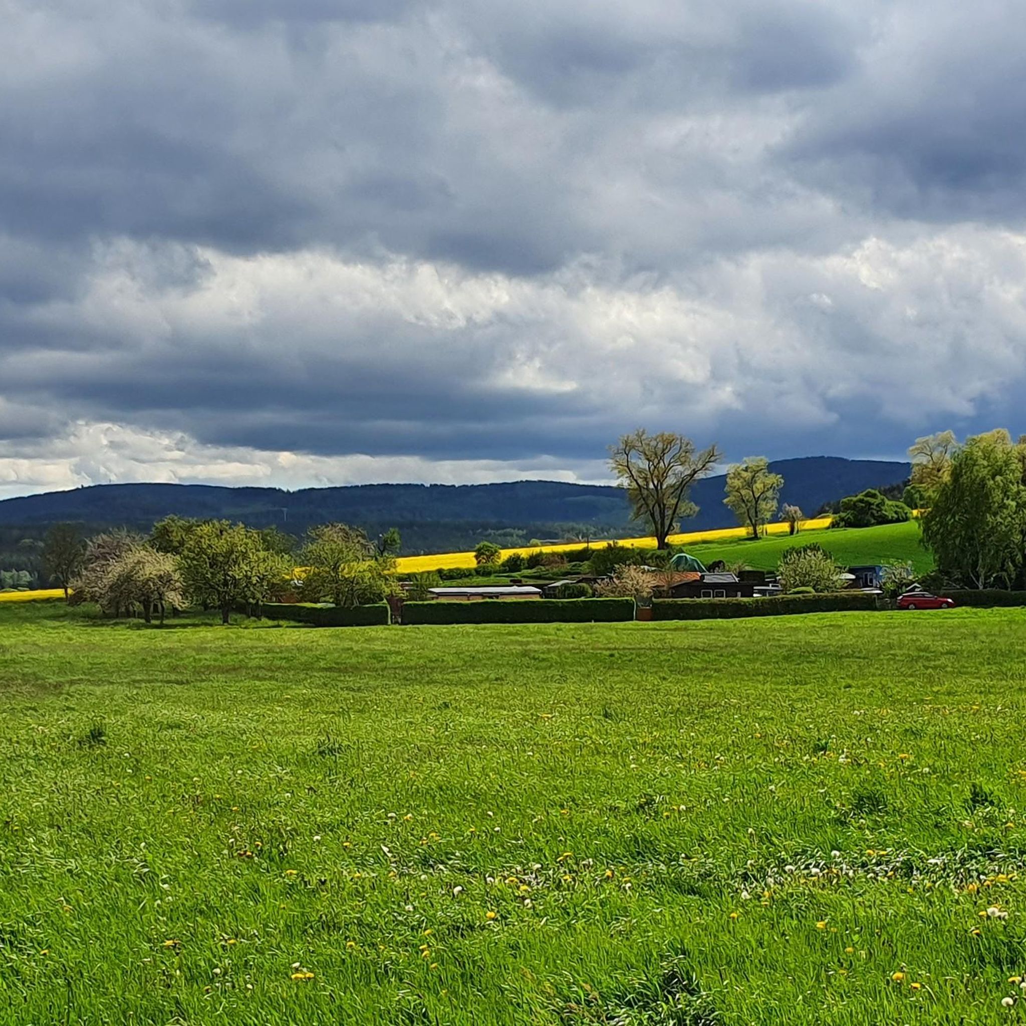
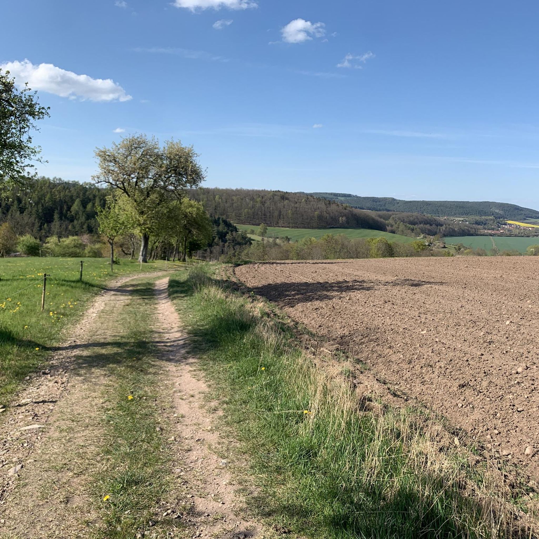
Gravel biking around Neusiß, a village on the northeastern edge of the Thuringian Forest, offers diverse terrain for riders. The area is situated on a plateau approximately 400 meters above sea level, bordered by the valleys of the Reichenbach and Zahme Gera rivers. To the south lies the 532-meter-high Weißer Stein mountain, and to the east are the foothills of the Reinsberge. This topography provides a mix of ascents, descents, and scenic routes, featuring well-graded gravel roads, forest roads, and…
Last updated: October 6, 2026
5.0
(2)
12
riders
53.2km
03:48
1,020m
1,020m
Hard gravel ride. Very good fitness required. Mostly paved surfaces. Suitable for all skill levels.
4.6
(5)
15
riders
24.0km
01:37
380m
380m
Moderate gravel ride. Good fitness required. Mostly paved surfaces. Suitable for all skill levels.

5.0
(4)
17
riders
34.0km
02:03
490m
490m
Hard gravel ride. Very good fitness required. Mostly paved surfaces. Suitable for all skill levels.
5.0
(2)
17
riders
Hard gravel ride. Very good fitness required. Mostly paved surfaces. Suitable for all skill levels.
8
riders
67.4km
04:35
1,310m
1,310m
Hard gravel ride. Very good fitness required. You may need to push your bike for some segments of this route.
Get access to more routes and recommendations from other explorers.
Already have an account?
Our route recommendations are based on thousands of hikes, rides, and runs completed by other people on komoot.
Start today with a free account
Your next adventure awaits.
Tips from the Community

The Große Dreiherrenstein (808 m) is a prominent historical border point and a central junction on the Rennsteig in the Thuringian Forest. The stone marks the historical border between the former lordships of Saxe-Weimar-Eisenach, Schwarzburg-Sondershausen, and Henneberg/Prussia.
4
0

It's a great place for hiking.
0
0

Comfortable pass ride with moderate gradients.
0
0
Comfortable pass ride, the gradient is kept well within limits.
0
0

Just before Ilmenau, on the section of the Ilm Cycle Path along the former Langewiesen railway line, this rest area with a covered picnic hut invites you to take a relaxing break. Benches and a table are available here – ideal for a quick snack in the shade before heading into town. A perfect stopover for cyclists and hikers looking to enjoy the last few meters to Ilmenau.
1
0


A very beautiful, natural trail with singletrack sections, but now partially leveled and damaged by forestry work. Still worth a ride, though 👍
0
0

Great view of the dam! The circular trail is highly recommended and easy to do by bike 👍
1
0
Frequently Asked Questions
How many gravel bike trails are available around Neusiß?
There are over 90 gravel bike trails around Neusiß, offering a wide range of options for different skill levels. You'll find everything from easy rides to challenging routes through the Thuringian Forest.
What kind of terrain can I expect on gravel bike trails near Neusiß?
The terrain around Neusiß is diverse, situated on a plateau bordered by river valleys and the foothills of the Reinsberge. You can expect a mix of ascents and descents, well-graded gravel roads, forest roads, and natural paths. The region is known for its 'Thuringian gravel summit moments' and varied surfaces.
Are there any easy gravel routes suitable for beginners or families?
Yes, Neusiß offers a few easy gravel routes. For a moderate option that's not overly strenuous, consider the View of the Autobahn Bridge – Gera Cycle Path near Plaue loop from Geraberg, which follows parts of the Gera Cycle Path. There are 3 easy routes and 39 moderate routes in total, providing good options for less experienced riders.
What are some challenging gravel routes for experienced riders?
Experienced gravel bikers will find plenty of challenging options. A difficult route with significant elevation gain is Plänckner's Viewpoint – Highest Point of the Rennsteig loop from Ilmenau Pörlitzer Höhe. Another demanding option is the Gera Cycle Path near Plaue – Gera Cycle Path near Arnstadt loop from Geraberg. In total, there are 50 difficult routes to explore.
What do other gravel bikers say about the trails in Neusiß?
The gravel biking routes around Neusiß are highly rated by the komoot community, with an average score of 4.7 stars from over 130 reviews. Riders often praise the varied terrain, scenic landscapes, and the network of well-maintained gravel and forest roads that allow for true 'Thuringian gravel summit moments'.
Are there any notable viewpoints or landmarks along the gravel trails?
Yes, the region offers several viewpoints and landmarks. You might encounter the Kickelhahn Tower or the Carl-Eduard Tower on Hohe Warte, both offering panoramic views. Some routes also provide a View of the Lütsche Reservoir and quarry from Schlossbergkanzel.
Can I find loop routes for gravel biking in Neusiß?
Many of the gravel routes around Neusiß are designed as loops, allowing you to start and end in the same location. For example, the Ilmtal Cycle Path Near Ilmenau – Pennewitz Airfield loop from Ilmenau Pörlitzer Höhe is a popular circular route.
What is the best time of year for gravel biking in Neusiß?
The Thuringian Forest region is generally enjoyable for gravel biking from spring through autumn, when the weather is mild and the trails are dry. While specific seasonal data isn't provided, these months typically offer the best conditions for exploring the varied terrain.
Are there any bike parks or dedicated trails for mountain biking near Neusiß?
Yes, for those interested in more technical riding, there are bike parks and dedicated trails nearby. You can find highlights like the Roda Forest Trail or the Trailpark Lindenberg, Playline, which offer specific mountain biking experiences.
Is Neusiß well-connected by public transport for cyclists?
Neusiß is a small village, and while the broader Thuringian Forest region has some public transport options, direct connections to Neusiß itself might be limited. It's advisable to check local bus or train schedules for connections to nearby larger towns like Ilmenau or Arnstadt, and plan your route accordingly if relying on public transport.
Where can I find parking for gravel biking trails in Neusiß?
While specific parking locations for Neusiß are not detailed, many routes in the region, especially those starting from larger towns or popular trailheads, typically offer designated parking areas. For routes starting from Ilmenau Pörlitzer Höhe, for instance, you would generally find suitable parking facilities.
Are there places to eat or stay near the gravel biking routes?
Neusiß itself is a small village with rural charm, so amenities might be limited. However, the broader Thuringian Forest region and nearby towns like Ilmenau or Plaue offer various cafes, restaurants, and accommodation options. You might also find mountain inns like the Bobhütte Mountain Inn on Lindenberg along some routes.
Most popular attractions around Neusiß

Get inspired with the komoot mobile app


Explore more
Browse the best Gravel rides in other regions.
