The best gravel rides around Sielenbach
4.2
(7)
27
riders
24
rides
Gravel biking around Sielenbach offers routes through the gentle rolling hills and river valleys characteristic of this Bavarian region. The landscape is primarily composed of agricultural fields, small woodlands, and quiet country roads, providing varied surfaces suitable for gravel bikes. Riders can expect a mix of paved and unpaved sections, often following the natural contours of the land. The area provides a network of trails that connect rural villages and offer views of the surrounding countryside.
Best gravel bike trails…
Last updated: July 2, 2026
5
riders
19.7km
01:22
140m
140m
Easy gravel ride. Great for any fitness level. Mostly paved surfaces. Suitable for all skill levels.
5.0
(1)
5
riders
16.3km
01:05
140m
140m
Easy gravel ride. Great for any fitness level. Mostly paved surfaces. Suitable for all skill levels.

Sign up for free
4.7
(3)
9
riders
43.0km
02:14
240m
230m
Moderate gravel ride. Good fitness required. Mostly paved surfaces. Suitable for all skill levels.
2.0
(1)
4
riders
28.5km
01:57
290m
290m
Hard gravel ride. Good fitness required. You may need to push your bike for some segments of this route.
5.0
(2)
4
riders
Moderate gravel ride. Good fitness required. Mostly paved surfaces. Suitable for all skill levels.
Get access to more routes and recommendations from other explorers.
Sign up for free
Already have an account?
Our route recommendations are based on thousands of hikes, rides, and runs completed by other people on komoot.
Start today with a free account
Your next adventure awaits.
Login or Signup
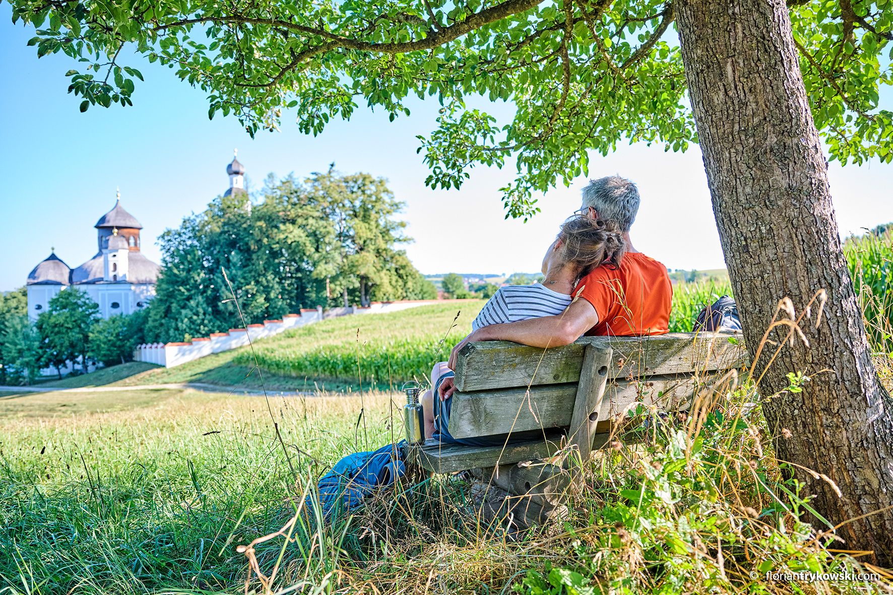
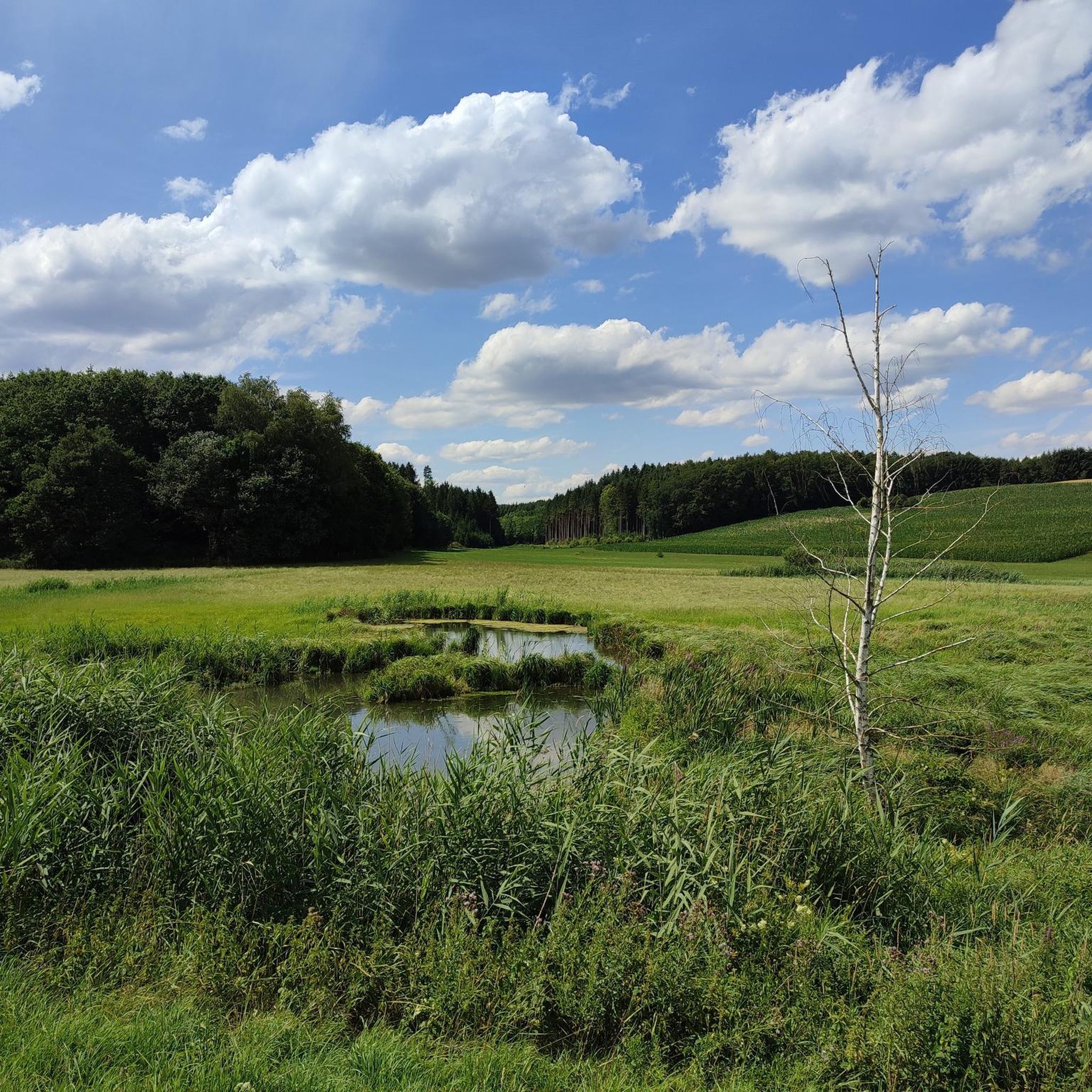
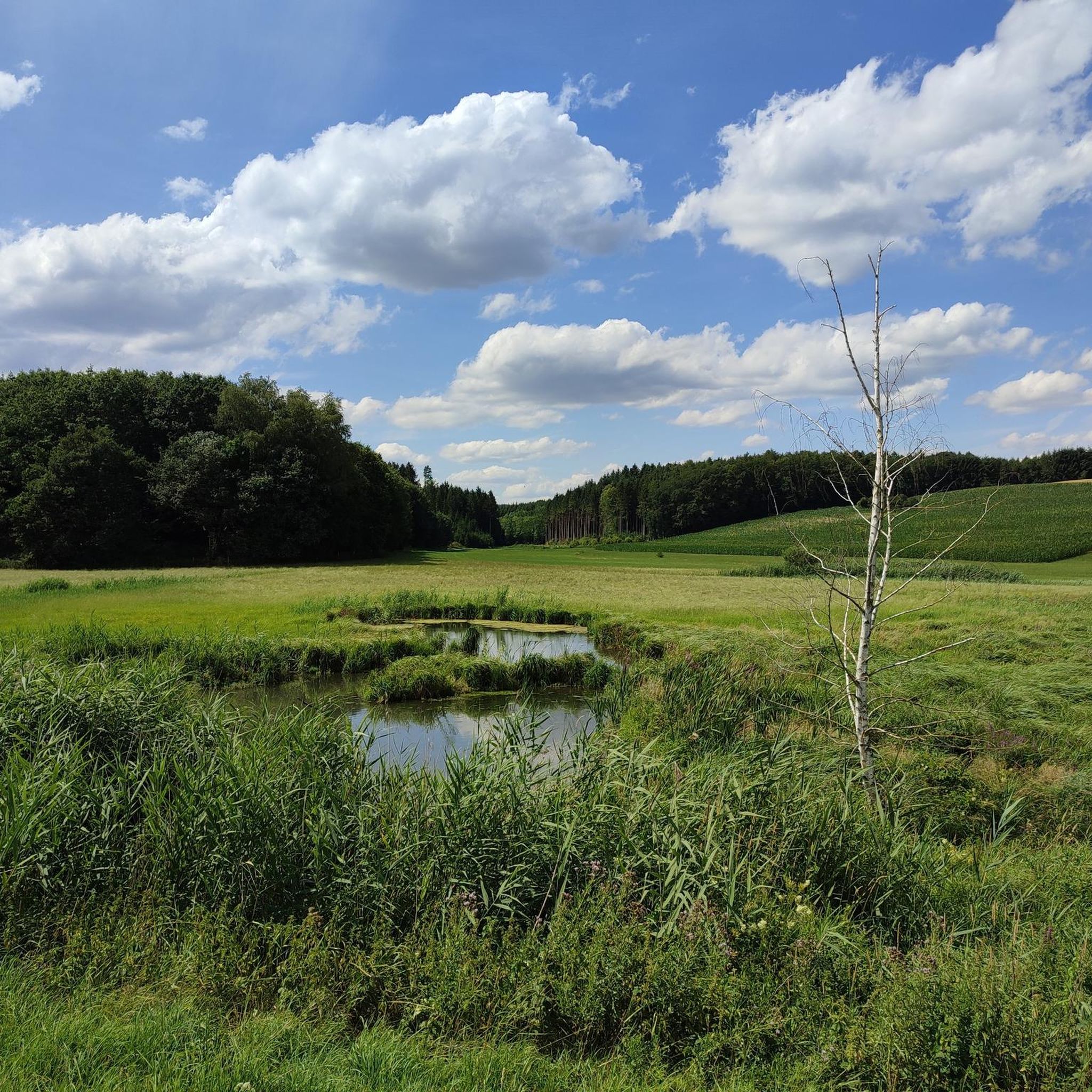
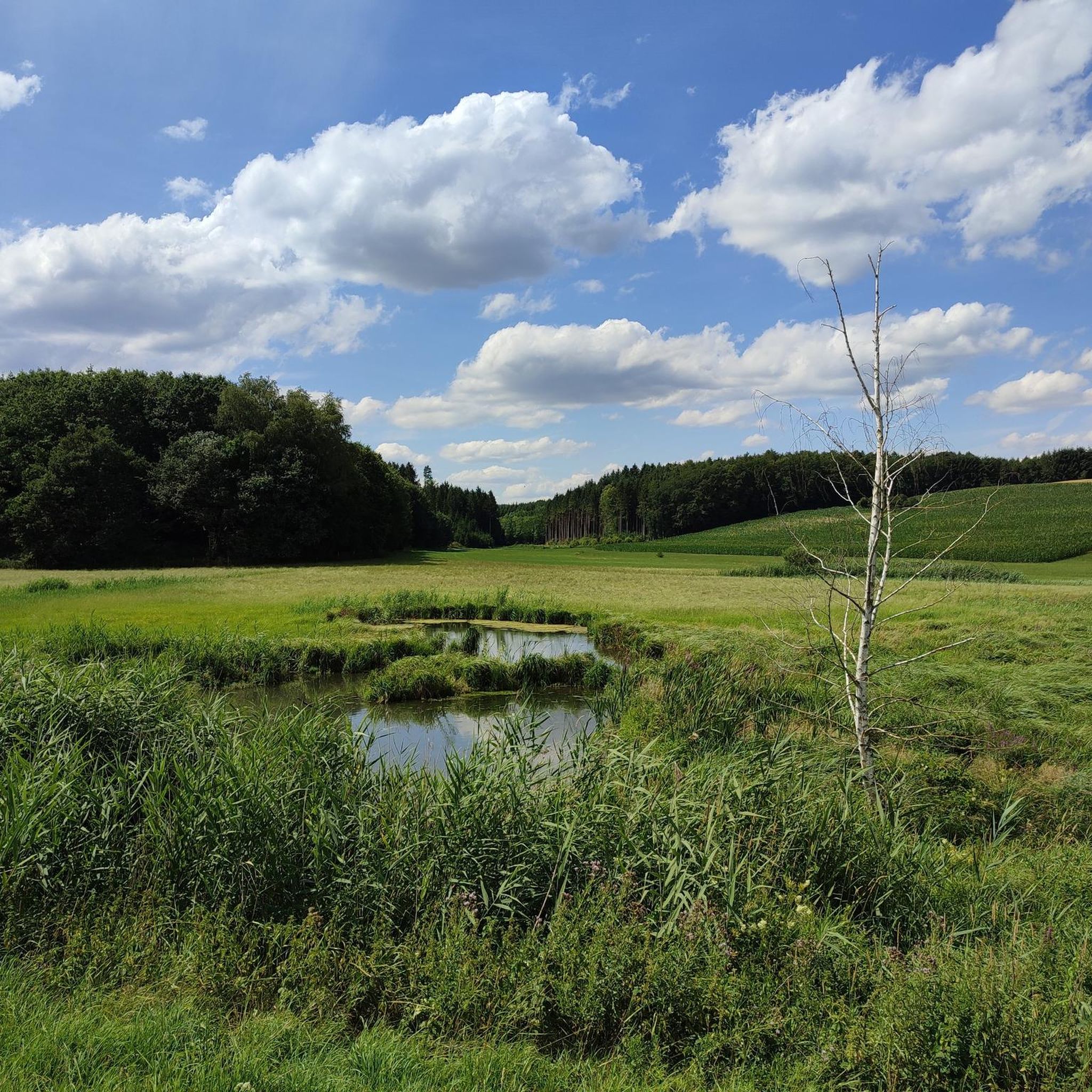
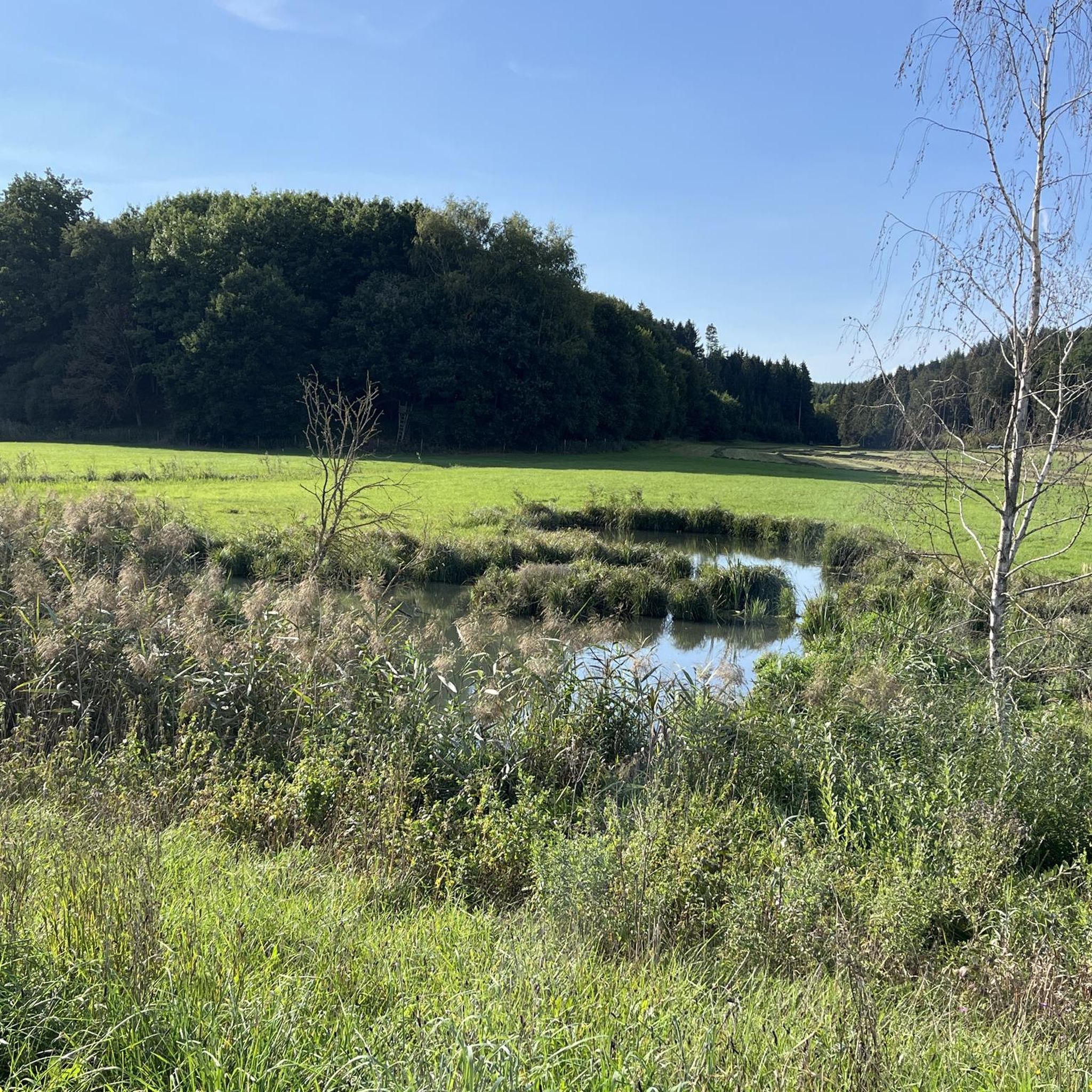
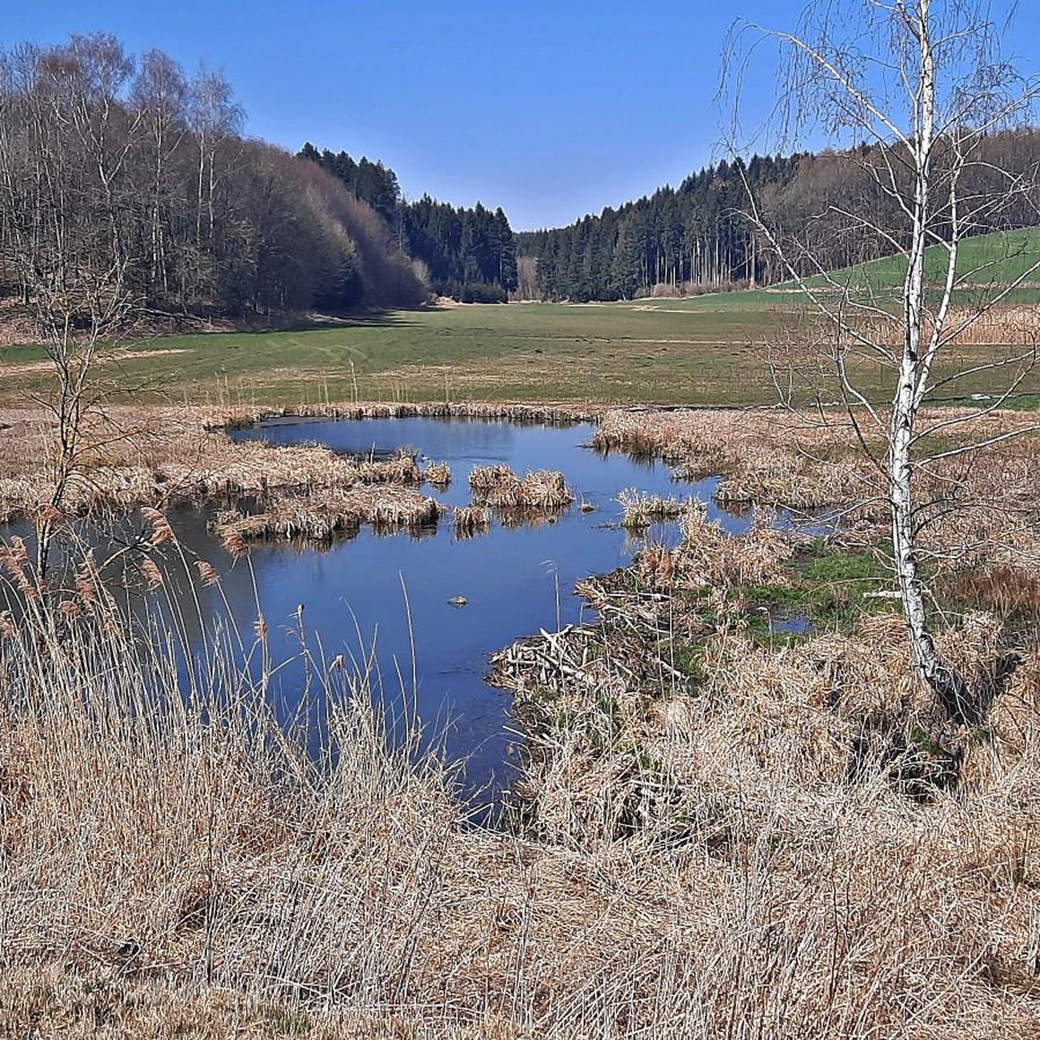
Other adventures around Sielenbach

Tips from the Community

Very beautiful church, with a monastery shop
0
0

Here you can hear the water rushing! The Hochablass has been damming the Lech since the late Middle Ages and diverting water into the city's canals - a relief for crafts, trades and later industrial enterprises. First mentioned in a document in 1346, the plant was rebuilt in its present location in 1552. The listed reinforced concrete structure received its current form after a flood in 1912. As part of the Augsburg water management system, the Hochablasse has been a UNESCO World Heritage Site since 2019.
0
0


very nice place, the iced coffee at the market square is highly recommended
0
0

Simply a fantastic view of the Wittelsbacher Land
0
0

Worth seeing monastery herb garden
0
0

Well-paved route in the southern city forest of Augsburg
0
0

It's a good place to cycle
0
2
Frequently Asked Questions
How many gravel bike trails are available around Sielenbach?
Sielenbach and its surroundings offer a diverse network of over 35 gravel bike routes. These trails traverse the region's characteristic rolling hills, river valleys, and agricultural fields, providing varied terrain for all skill levels.
Are there gravel bike routes suitable for beginners in Sielenbach?
Yes, Sielenbach has several easy gravel bike routes perfect for beginners. An excellent option is the View of Ottmarshart – Little Glonn Bridge loop from Kleinberghofen, which is 12.2 miles (19.7 km) long and offers scenic views with minimal elevation gain.
What are some challenging gravel bike routes for experienced riders?
For more experienced gravel bikers seeking a challenge, consider the View of Odelzhausen – Gentle Ascent on Gravel Path loop from Odelzhausen. This difficult route spans 17.9 miles (28.8 km) and features significant elevation changes, providing a rewarding workout through varied landscapes.
Can I find loop gravel bike trails in the Sielenbach area?
Absolutely. Many of the gravel bike trails around Sielenbach are designed as loops, allowing you to start and finish at the same point. For instance, the Lower Gate, Aichach – Upper Gate, Aichach loop from Aichach is a moderate 36.2-mile (58.3 km) loop that explores historical town gates and rural landscapes.
What kind of scenery can I expect on Sielenbach's gravel bike trails?
The gravel bike trails in Sielenbach offer picturesque views of the gentle rolling hills, expansive agricultural fields, and tranquil river valleys. You'll encounter a mix of paved and unpaved sections, often winding through small woodlands and connecting charming rural villages.
Are there any interesting landmarks or natural sights along the gravel routes?
Yes, the region boasts several points of interest. You might encounter natural monuments like the Elephant Tree or the Silberbrünnel Spring. Additionally, there are man-made monuments such as The Seven Steles by Norbert Zagel and the Geographical Center of the Aichach-Friedberg District.
Are there any lakes or water features to see while gravel biking?
Yes, the Sielenbach area features several serene lakes and water habitats. You could visit the Großer Hieslinger Weiher, the Lily Pond Behind Furthmühle, or explore the Wetland habitat in the Eurasburger Forest, which are popular highlights in the region.
What is the best time of year for gravel biking in Sielenbach?
The spring, summer, and early autumn months generally offer the most pleasant conditions for gravel biking in Sielenbach. During these seasons, the weather is typically mild, and the agricultural fields and woodlands are at their most vibrant. Winter riding can be possible, but conditions may vary with snow or ice.
What do other gravel bikers say about the trails in Sielenbach?
The gravel biking routes in Sielenbach are highly regarded by the komoot community, holding an average rating of 4.3 stars from over 16 reviews. Riders often praise the quiet country roads, varied terrain, and the scenic beauty of the Bavarian countryside.
Are there any moderate-difficulty gravel routes that are longer in duration?
For a moderate yet longer ride, consider the Schrobenhausen Old Town – Lake Radersdorf loop from Aichach. This route covers 24.5 miles (39.4 km) and offers a balanced challenge through diverse landscapes, including historical towns and natural areas.
Are there any gravel bike trails that pass through valleys?
Yes, the region is characterized by its river valleys. A notable route that takes you through one is the Zeitlbach Valley – Path of Reflection loop from Altomünster. This 10.4-mile (16.7 km) trail offers a peaceful ride through the scenic Zeitlbach Valley.
Most popular routes around Sielenbach
Most popular attractions around Sielenbach

Get inspired with the komoot mobile app


Explore more
Browse the best Gravel rides in other regions.
