The best gravel rides around Walzbachtal
4.3
(167)
750
riders
109
rides
Gravel biking around Walzbachtal offers a diverse landscape within the Kraichgau-Stromberg region, characterized by rolling hills, extensive forests, and traditional orchards. The area features numerous cycle tracks and walking trails, providing varied terrain for gravel riders. This includes agricultural landscapes with views towards the Palatinate Forest and natural areas like "Naturschutzgebiet 12 Morgen." The region's topography provides a mix of climbs and descents suitable for gravel biking.
Best gravel bike trails around Walzbachtal
- The most popular gravel bike trail is…
Last updated: September 29, 2026
20
riders
73.1km
04:01
460m
460m
Hard gravel ride. Very good fitness required. Mostly paved surfaces. Suitable for all skill levels.
3.9
(17)
63
riders
Moderate gravel ride. Good fitness required. Mostly paved surfaces. Suitable for all skill levels.

4.9
(9)
24
riders
57.5km
03:15
580m
580m
Hard gravel ride. Very good fitness required. Mostly paved surfaces. Suitable for all skill levels.
7
riders
Hard gravel ride. Very good fitness required. You may need to push your bike for some segments of this route.
4.7
(3)
18
riders
Moderate gravel ride. Good fitness required. Mostly paved surfaces. Suitable for all skill levels.
Get access to more routes and recommendations from other explorers.
Already have an account?
Our route recommendations are based on thousands of hikes, rides, and runs completed by other people on komoot.
Start today with a free account
Your next adventure awaits.
Popular around Walzbachtal

Spring in the land of 1,000 hills – Kraichgau-Stromberg in Germany
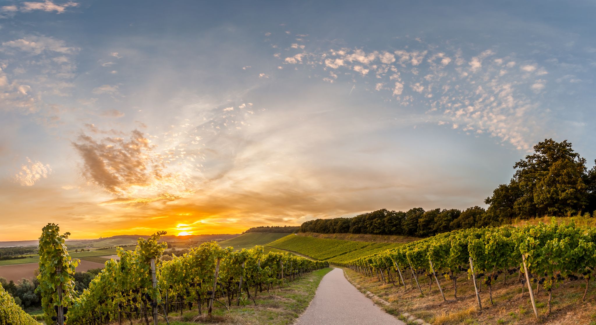
Cycling in the land of 1,000 hills in southern Germany – Kraichgau-Stomberg
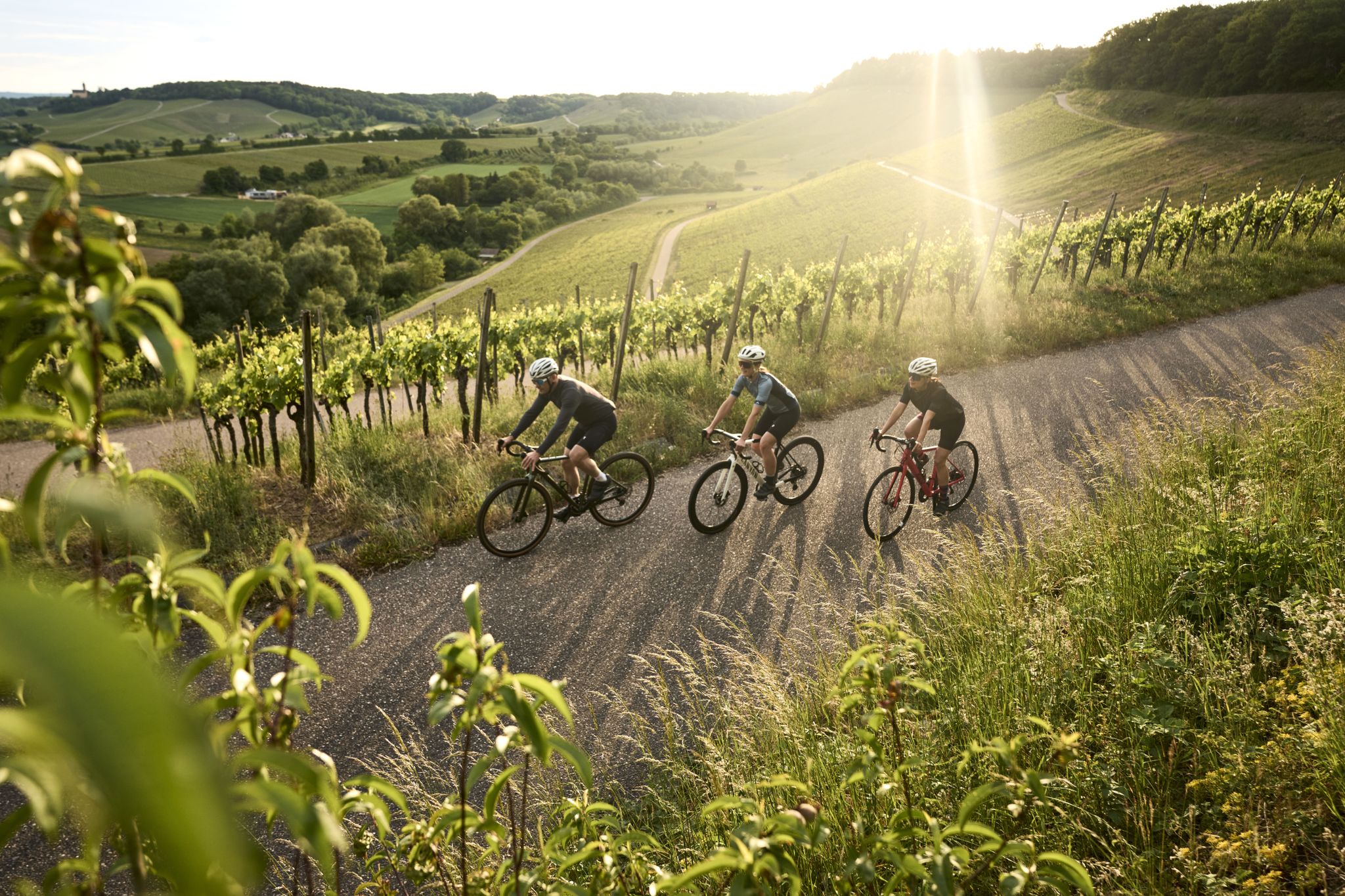
Tritt für Tritt durchs Land der 1000 Hügel
Cycling around Walzbachtal
Hiking around Walzbachtal
Road Cycling Routes around Walzbachtal
Running Trails around Walzbachtal
MTB Trails around Walzbachtal
Other adventures around Walzbachtal

Tips from the Community

When you drive through Grötzingen, there is, depending on the situation, a good section for moving around car-free.
0
0

The baroque Maria-Hilf Chapel is picturesquely situated between two wooded areas above the Attental residential area (on the watershed between Jöhlingen and Wöschbach). It was built in 1732. Today, the chapel is still a destination for many pilgrims, especially in May and the summer months. The building is flanked by two historical wooden crosses: on the left a cross from 1783 and on the right one from 1857.
6
0

From the Schlossbergturm, you have a panoramic view over large parts of Northern Baden and Northern Wuerttemberg. Depending on the weather and visibility, you can recognize, among other things: To the west: the Rhine plain and, in very clear conditions, the Vosges mountains in France. To the southwest: the Northern Black Forest. To the south: the Stromberg, whose highest elevation is the Baiselsberg. To the east: the hilly landscape of the Kraichgau and towards the Heckengäu. To the north: the Odenwald forest, but only with exceptionally good long-distance visibility. On particularly clear days, the visibility extends up to 70–100 km. Therefore, the tower is a popular viewpoint for photographers and hikers. Tip: The best long-distance visibility is often in the morning after a cold front or on dry autumn and winter days when the air is particularly clear.
1
0

Beautiful baroque pilgrimage chapel, built in 1732 on the watershed between Jöhlingen and Wöschbach. From there you have a magnificent view over Jöhlingen and the Walzbachtal.
7
0

With binoculars, you can see the Speyer Cathedral, great view.
0
0

Up to the Bürgerpark along the Pfinz diversion canal through the forest. Then to the beer garden, send the kids to the BMX track or to the playgrounds/football pitches. Always a great family outing.
0
0
Narrow and amazingly high footbridge over an old Rhine arm. A little test of courage for those with a fear of heights 😉 Passable in May 2026 and not closed.
4
0

Beautiful view in and over the vineyards
0
0
Frequently Asked Questions
How many gravel bike trails are available in Walzbachtal?
Walzbachtal offers a wide selection of gravel biking routes, with nearly 300 trails available. These range from easy paths suitable for beginners to more challenging rides for experienced cyclists.
What makes Walzbachtal a good destination for gravel biking?
Walzbachtal, located in the Kraichgau-Stromberg region, is known as the 'land of a thousand hills,' offering a diverse landscape ideal for gravel biking. You'll find rolling hills, extensive forests, traditional orchards, and hedgerows, providing a mix of challenging climbs and enjoyable descents. The area is increasingly recognized as a 'new gravel paradise' within Baden-Württemberg.
Are there options for beginners or families looking for an easier gravel ride?
Yes, Walzbachtal has routes suitable for beginners and families. For example, the Gengenbachtal Trail – View of Eisinger Loch loop from Stein is a moderate 16.6 km path that offers a pleasant experience without overly demanding sections. There are 31 easy and 152 moderate routes in the region.
Are there any longer, more challenging routes for experienced gravel bikers?
Absolutely. Experienced riders can tackle routes like the Pfinz River – Pfinz River Path loop from Söllingen-Kapellenstraße, a difficult 73.1 km trail that follows the Pfinz River, offering a long-distance gravel experience. There are over 100 difficult routes in the area.
What kind of scenery can I expect on the gravel trails in Walzbachtal?
The trails in Walzbachtal offer varied and scenic views. You'll ride through extensive forests, past traditional orchards, and across agricultural landscapes with distant views towards the Palatinate Forest. Natural areas like 'Naturschutzgebiet 12 Morgen' also provide beautiful backdrops for your rides.
Are there any circular gravel routes in Walzbachtal?
Many of the gravel routes in Walzbachtal are designed as loops, allowing you to start and end at the same point. Examples include the St. Barbara Chapel Ruins – Thomashof Scenic Trail loop from Berghausen Pfinzbrücke, a moderate 34.3 km path, and the Gengenbachtal Trail – Eisinger Loch sinkholes loop from Stein, a 19.6 km difficult trail.
What interesting sights or landmarks can I see along the gravel trails?
Beyond the natural beauty, you can encounter historical points of interest like the Maria Hilf-Kapelle, nestled quietly between two forests. The region also features unique natural monuments such as the Old Eisinger Hole and the scenic Gengenbach Valley. Some routes may even pass by dedicated bike parks like the From Dachs Till Dawn Trail.
Are there any natural highlights or unique geological features to explore?
Yes, Walzbachtal is home to several natural highlights. You can explore the 'Naturschutzgebiet 12 Morgen' nature reserve with its fruit meadows. Additionally, the area features interesting geological formations like the Ungeheuer Gorge and the Sunken lane with exposed tree roots near Bruchsal, which add unique elements to your ride.
What do other gravel bikers say about the trails in Walzbachtal?
The gravel biking routes in Walzbachtal are highly rated by the komoot community, with an average score of 4.5 stars from over 220 reviews. More than 1,200 gravel bikers have used komoot to explore the varied terrain, often praising the diverse landscape and well-maintained cycle tracks.
Are there places to stop for a break or refreshments along the routes?
Yes, the region is known for its outdoor amenities. You can find well-maintained grill sites along many trails, offering convenient spots for a break and a picnic. While specific cafes aren't detailed for every route, the presence of villages and towns along the way means you'll likely find opportunities for refreshments.
Is parking available near the trailheads in Walzbachtal?
While specific parking locations are not detailed for every trailhead, Walzbachtal is generally well-equipped for outdoor recreation. It's common to find designated parking areas in or near the starting points of popular routes, especially in the villages and towns within the region.
Most popular routes around Walzbachtal
Most popular attractions around Walzbachtal

Get inspired with the komoot mobile app


Explore more
Browse the best Gravel rides in other regions.
