The best gravel rides around Sankt Anna am Aigen
4.8
(9)
172
riders
5
rides
Gravel biking around Sankt Anna am Aigen offers a diverse landscape characterized by rolling vineyards, dense mixed forests, and gentle hills within the Styrian hill country. The region is part of the Thermen- & Vulkanland, featuring a unique geological history that contributes to its varied topography. Elevations like the Stradner Kogel provide challenging climbs and panoramic views, while numerous paths wind through cultivated and natural settings. This terrain provides a mix of paved roads, unpaved segments, and forest paths suitable for gravel cycling.
Best gravel bike trails around Sankt Anna am Aigen
- The most popular gravel bike trail is View of St. Anna am Aigen – St. Anna am Aigen Church loop from Klöch, a 58.1 miles (93.4 km) trail that takes about 5 hours 32 minutes to complete. This difficult route offers extensive views of the surrounding area.
- Another top favourite among local gravel bikers is Vulkanland Observation Tower – Main Square, Bad Radkersburg loop from Klöch, a difficult 40.3 miles (64.9 km) path. This route includes the Vulkanland Observation Tower, providing wide vistas across the Styrian region.
- Local gravel bikers also love the Liebmannsee – Main Square, Bad Radkersburg loop from Klöch, a 26.9 miles (43.4 km) trail leading through varied terrain, often completed in about 3 hours 41 minutes.
- Gravel biking around Sankt Anna am Aigen is defined by rolling vineyards, mixed forests, and the unique volcanic landscape of the Thermen- & Vulkanland. The network offers options for different ability levels, from moderate rides to more challenging routes with significant elevation gains.
- The routes in Sankt Anna am Aigen are highly rated by the komoot community with an average score of 4.5 stars from more than 10 reviews. More than 100 gravel bikers have used komoot to explore Sankt Anna am Aigen's varied terrain.
Last updated: October 6, 2026
5.0
(1)
95
riders
93.0km
05:31
1,000m
1,000m
Hard gravel ride. Very good fitness required. Mostly paved surfaces. Suitable for all skill levels.
12
riders
43.8km
02:50
300m
300m
Moderate gravel ride. Good fitness required. Mostly paved surfaces. Suitable for all skill levels.

5.0
(2)
11
riders
39.2km
02:40
640m
630m
Hard gravel ride. Very good fitness required. Mostly paved surfaces. Suitable for all skill levels.
4.5
(2)
15
riders
27.5km
01:40
100m
100m
Easy gravel ride. Great for any fitness level. Mostly paved surfaces. Suitable for all skill levels.
5.0
(2)
8
riders
58.7km
03:27
500m
500m
Hard gravel ride. Very good fitness required. Mostly paved surfaces. Suitable for all skill levels.
Our route recommendations are based on thousands of hikes, rides, and runs completed by other people on komoot.
Start today with a free account
Your next adventure awaits.
Popular around Sankt Anna am Aigen
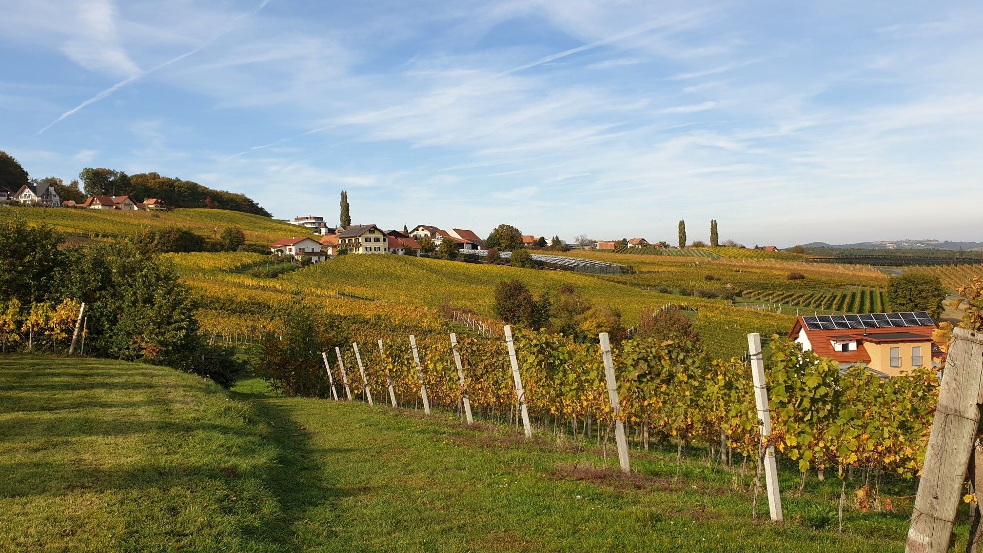
Hiking in Eastern Austria – Culinary delights, culture and charm
Wine, Murauen and rolling hills – hikes in Austria’s south-eastern Styria
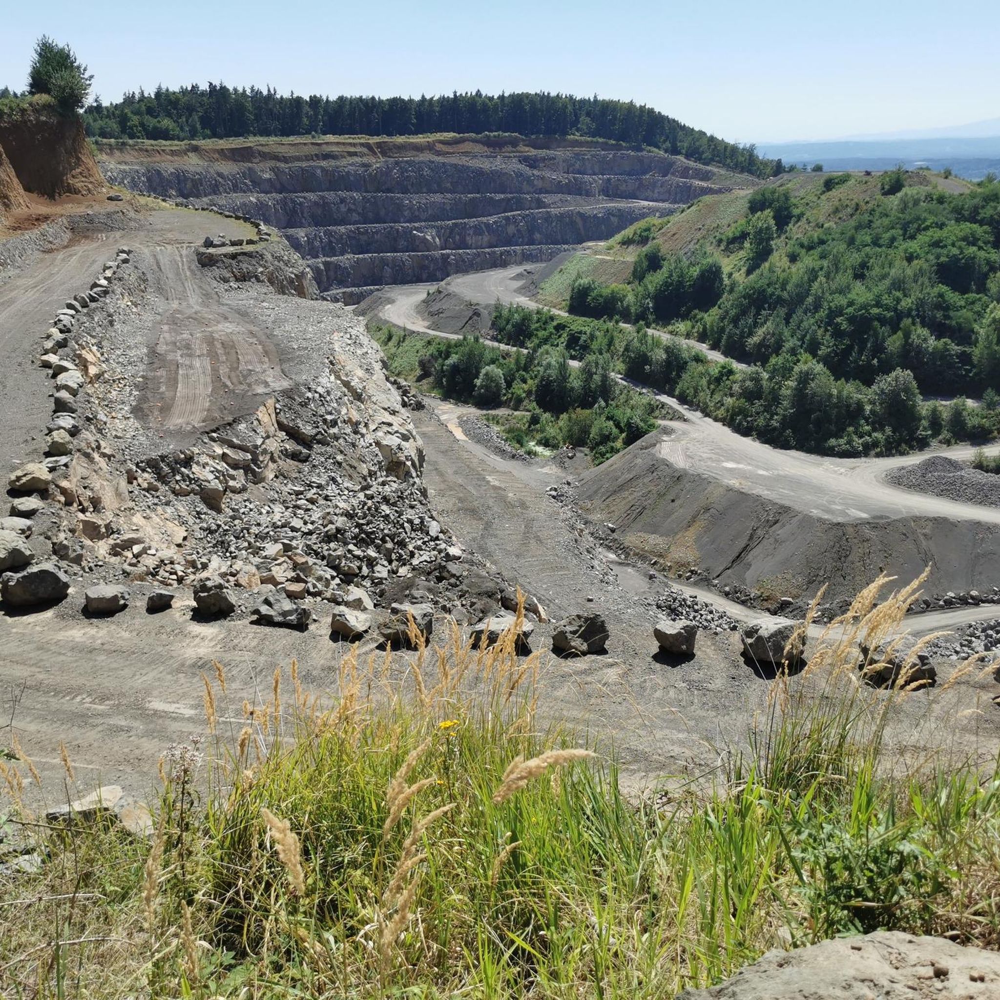
Hiking around Sankt Anna am Aigen
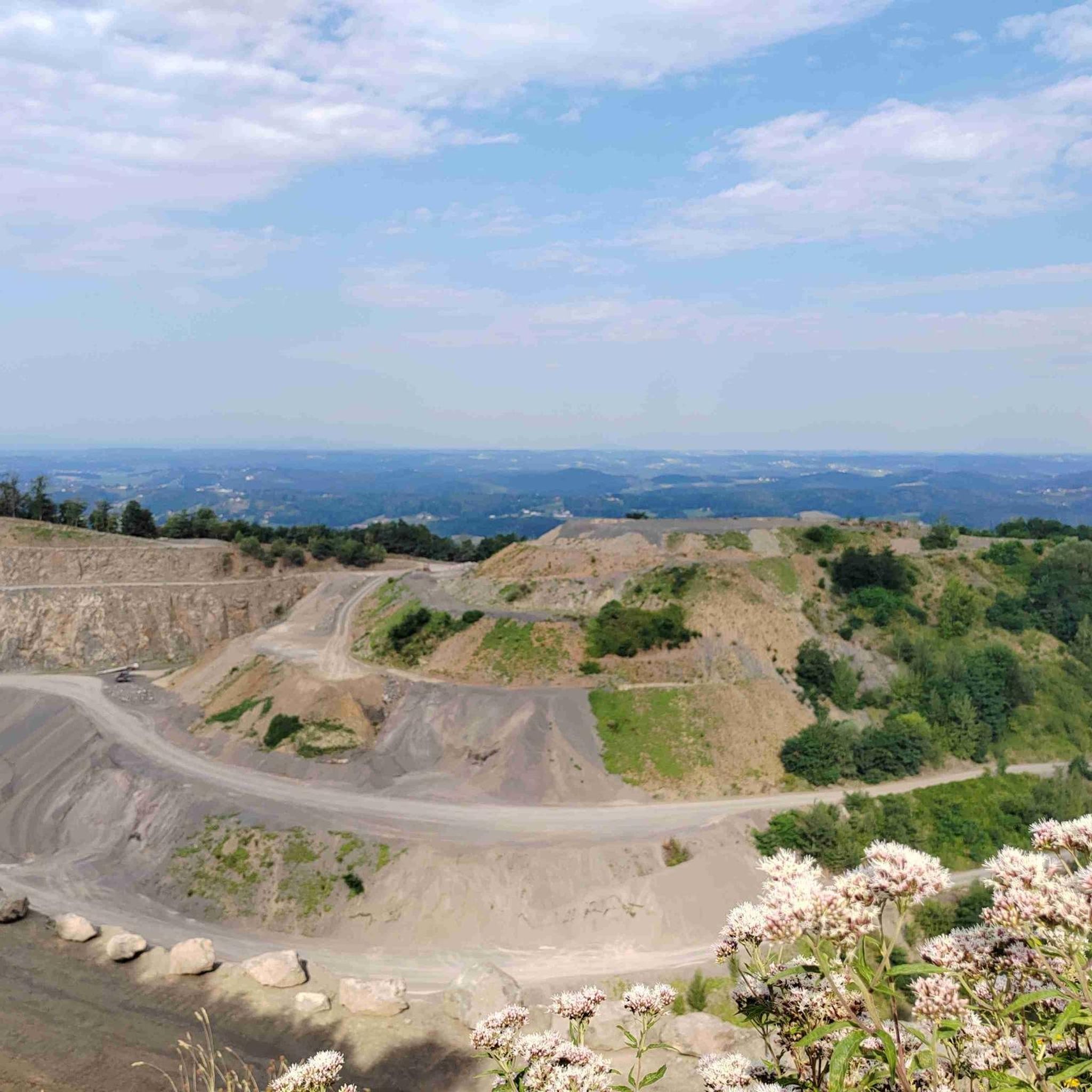
Cycling around Sankt Anna am Aigen
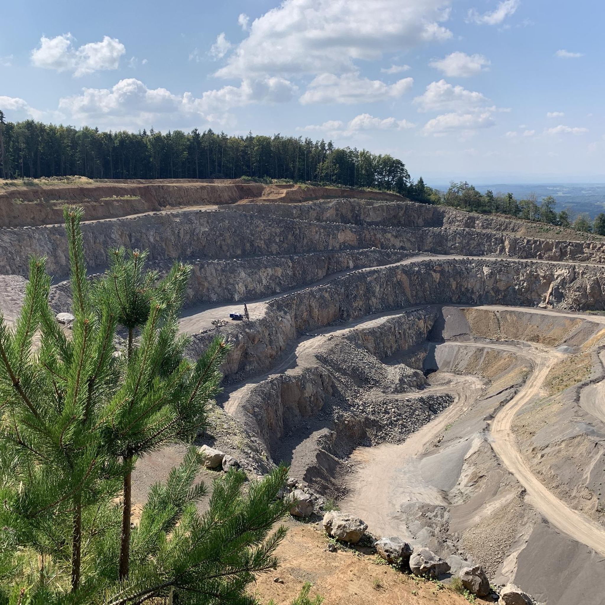
Road Cycling Routes around Sankt Anna am Aigen
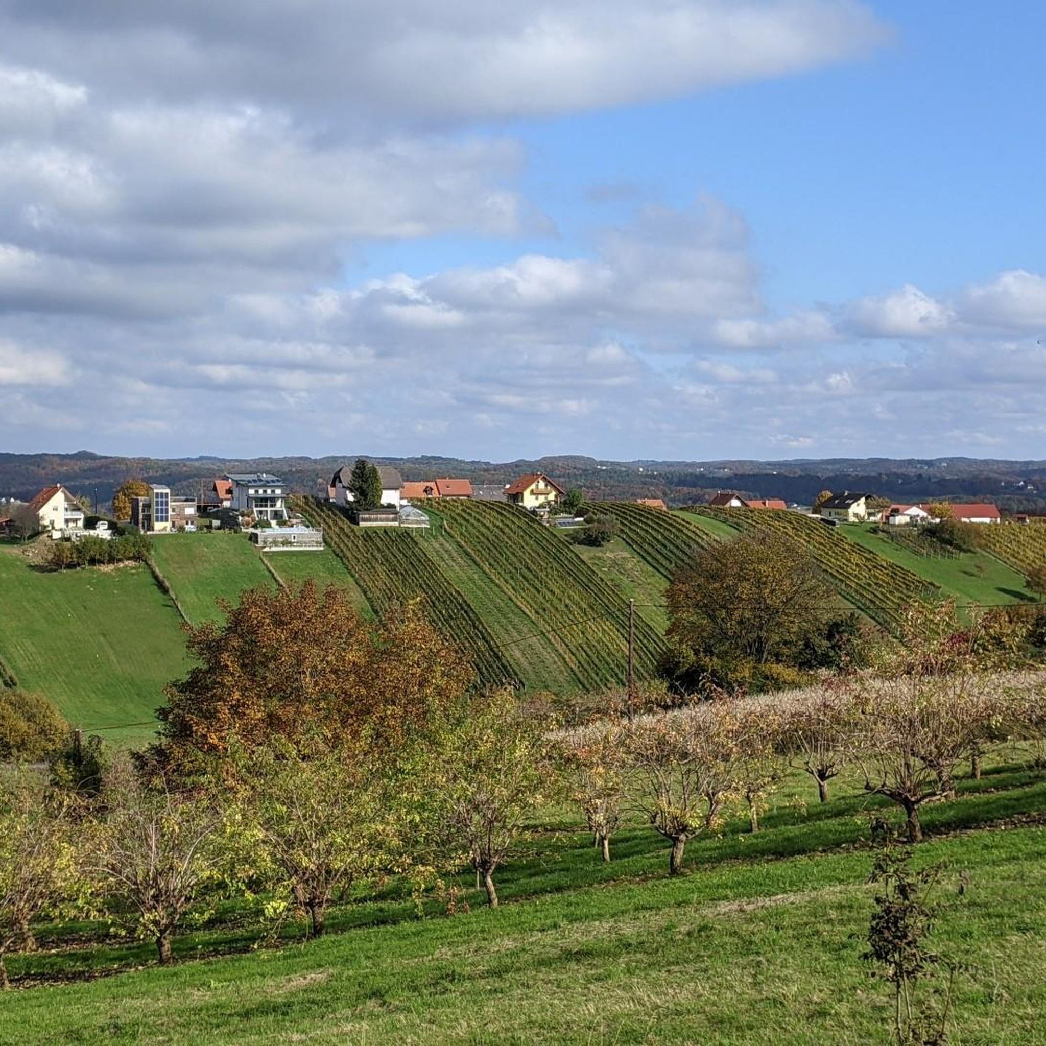
Running Trails around Sankt Anna am Aigen
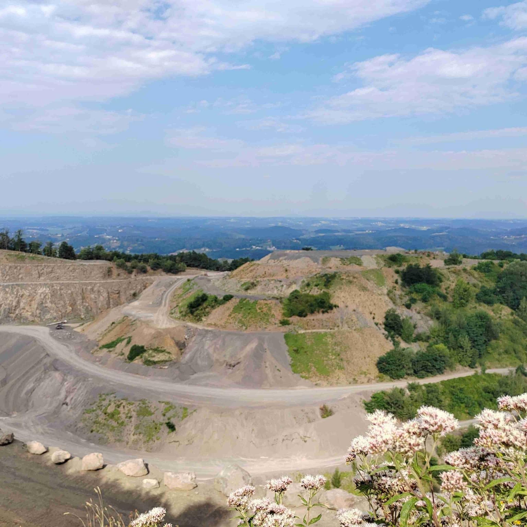
MTB Trails around Sankt Anna am Aigen


Tips from the Community

Rewarding 102km to enjoy a "Prekmurje Gibanica"
0
0

Border Austria - Slovenia with border sign
3
0
Great view of the vineyards
3
0
Beautiful church from the outside and from the inside
3
0

Avstrijska stran je ravninska in pot lepo urejena.
0
0


Always great for a break
0
0
Frequently Asked Questions
How many gravel bike trails are available around Sankt Anna am Aigen?
There are over 10 gravel bike routes documented around Sankt Anna am Aigen on komoot, offering a variety of experiences. These include 3 moderate and 9 difficult routes, catering to different skill levels.
What kind of terrain can I expect on gravel bike trails in Sankt Anna am Aigen?
The terrain around Sankt Anna am Aigen is characterized by rolling vineyards, dense mixed forests, and gentle hills. You'll encounter a mix of paved roads, unpaved segments, and forest paths. The region's unique geological history as part of the Thermen- & Vulkanland contributes to its varied topography, providing both challenging climbs and serene stretches.
Are there any long-distance gravel routes for experienced riders?
Yes, for experienced riders seeking a longer challenge, the View of St. Anna am Aigen – St. Anna am Aigen Church loop from Klöch is a difficult 93.4 km route with over 1000 meters of elevation gain. Another demanding option is the Vulkanland Observation Tower – Main Square, Bad Radkersburg loop from Klöch, covering 64.9 km with significant climbs.
What are some notable viewpoints or landmarks I can see along the trails?
Many routes offer stunning views. The Vulkanland Observation Tower – Main Square, Bad Radkersburg loop from Klöch specifically includes the Vulkanland Observation Tower, providing wide vistas across the Styrian region. You might also encounter the Memorial 'Park of Thoughts' or the Three-country border point Austria–Hungary–Slovenia on some routes.
When is the best time of year for gravel biking in Sankt Anna am Aigen?
The best seasons for gravel biking in Sankt Anna am Aigen are spring and autumn. Spring offers a vibrant landscape in bloom, while autumn provides pleasant temperatures and the beautiful scenery of the grape harvest. Both seasons are ideal for enjoying the region's trails.
Are there any moderate gravel bike routes suitable for less experienced riders?
Yes, for those looking for a moderate challenge, the Liebmannsee – Main Square, Bad Radkersburg loop from Klöch is a great option. This 43.4 km route leads through varied terrain and is often completed in about 3 hours and 41 minutes.
What do other gravel bikers enjoy most about the trails in Sankt Anna am Aigen?
The gravel biking routes in Sankt Anna am Aigen are highly rated by the komoot community, with an average score of 4.5 stars from over 10 reviews. Riders often praise the diverse landscape, which seamlessly blends rolling vineyards, dense forests, and the unique volcanic terrain, offering both scenic beauty and engaging rides.
Are there any routes that specifically pass through vineyards?
Yes, the region is renowned for its wine, and many routes naturally wind through expansive vineyards. For example, the Vineyards – Vulkanland Observation Tower loop from Klöch is a 39.2 km difficult route that immerses you in this iconic landscape.
Where can I find places to eat or rest along the gravel routes?
The region offers various spots for refreshments. You might find places like Bulldogwirt Wieden near Straden or the Gesamtsteirische Vinothek Sankt Anna am Aigen. There are also smaller huts and rest areas, such as the Cyclist Rest Stop Naturpark Raab, perfect for a break.
Are there any routes that offer panoramic views of the wider Styrian region?
Absolutely. The View of St. Anna am Aigen – St. Anna am Aigen Church loop from Trockenbiotop am Steinbruch "Klausen", a difficult 51.8 km route, provides extensive views. The Stradner Kogel, the highest elevation in southeastern Styria, is also a prominent feature in the area, offering magnificent panoramic vistas that many routes traverse or pass near.
What are the typical elevation gains on gravel bike trails in this area?
The elevation gains vary significantly depending on the route's difficulty and length. For instance, difficult routes like the 93.4 km View of St. Anna am Aigen – St. Anna am Aigen Church loop from Klöch can feature over 1000 meters of ascent, while moderate routes will have more manageable climbs.
Most popular routes around Sankt Anna am Aigen
Most popular attractions around Sankt Anna am Aigen

Get inspired with the komoot mobile app


Explore more
Browse the best Gravel rides in other regions.
