The best gravel rides around Lobmingtal
5.0
(2)
31
riders
5
rides
Gravel biking around Lobmingtal features a diverse landscape characterized by river valleys, rolling hills, and significant mountain ascents. The region offers varied terrain, from paths alongside the Mur River to challenging climbs towards summits like the Steinplan. Elevations can range from moderate inclines to over 3,000 feet of climbing on longer routes.
Best gravel bike trails around Lobmingtal
- The most popular gravel bike trail is Water point – Steinplan Summit Cross loop from Spielberg, a 25.1 miles (40.4 km)…
Last updated: July 2, 2026
11
riders
40.4km
03:30
1,050m
1,050m
Hard gravel ride. Very good fitness required. Mostly paved surfaces. Suitable for all skill levels.
7
riders
26.8km
02:46
1,040m
1,040m
Hard gravel ride. Very good fitness required. Mostly paved surfaces. Suitable for all skill levels.

Sign up for free
5.0
(2)
9
riders
30.0km
02:11
570m
570m
Hard gravel ride. Very good fitness required. Mostly paved surfaces. Suitable for all skill levels.
1
riders
Moderate gravel ride. Good fitness required. Mostly paved surfaces. Suitable for all skill levels.
3
riders
15.1km
00:56
230m
230m
Moderate gravel ride. Good fitness required. Mostly paved surfaces. Suitable for all skill levels.
Our route recommendations are based on thousands of hikes, rides, and runs completed by other people on komoot.
Start today with a free account
Your next adventure awaits.
Login or Signup
Popular around Lobmingtal

North-South Trail through Austria – Small country, big paths!
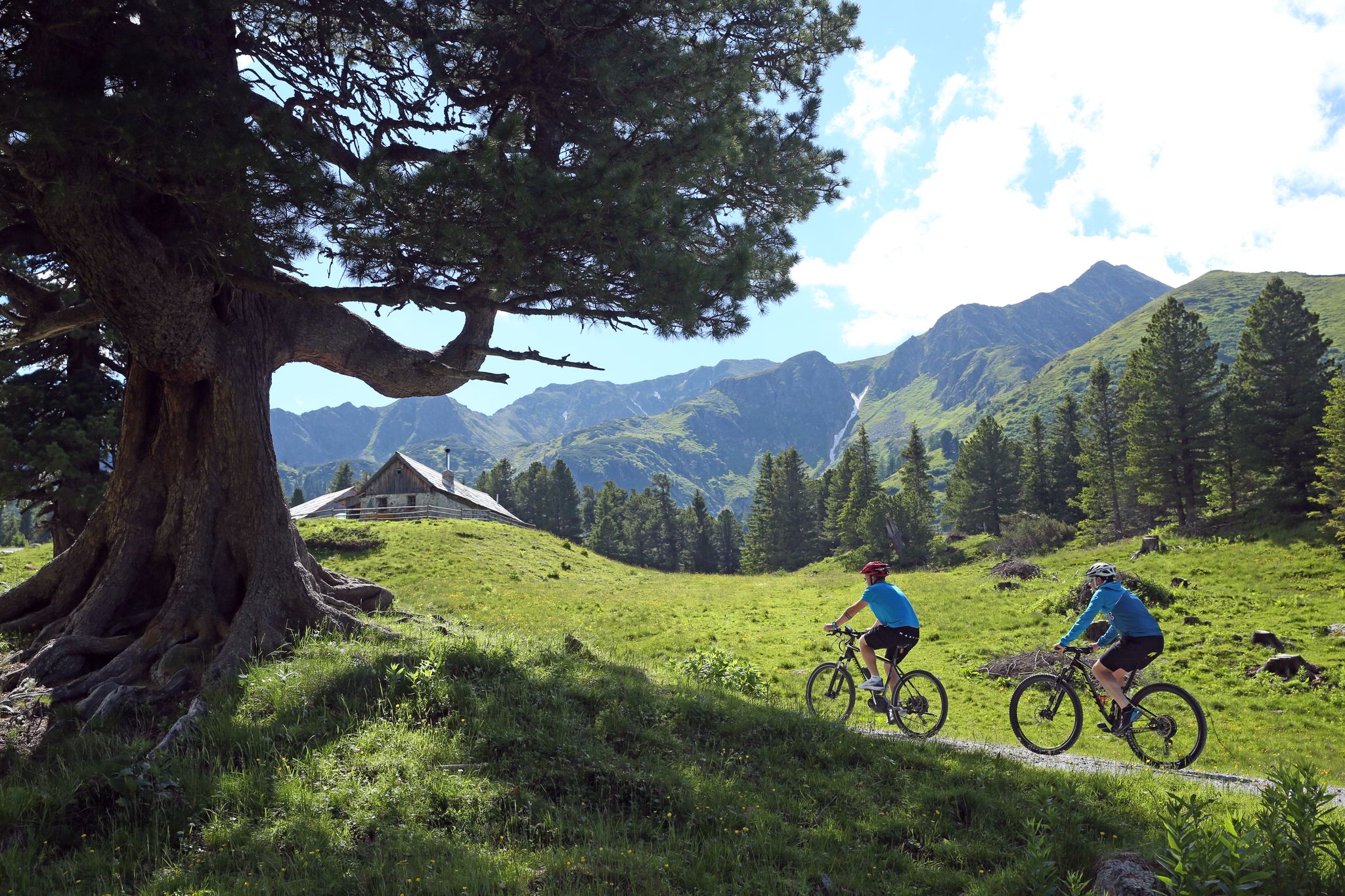
Tours, trails and panorama — mountain biking in the Mur Valley
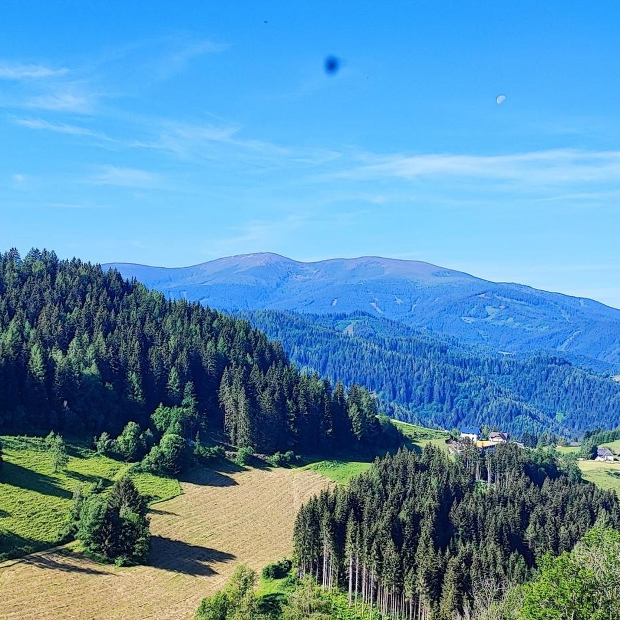
MTB Trails around Lobmingtal
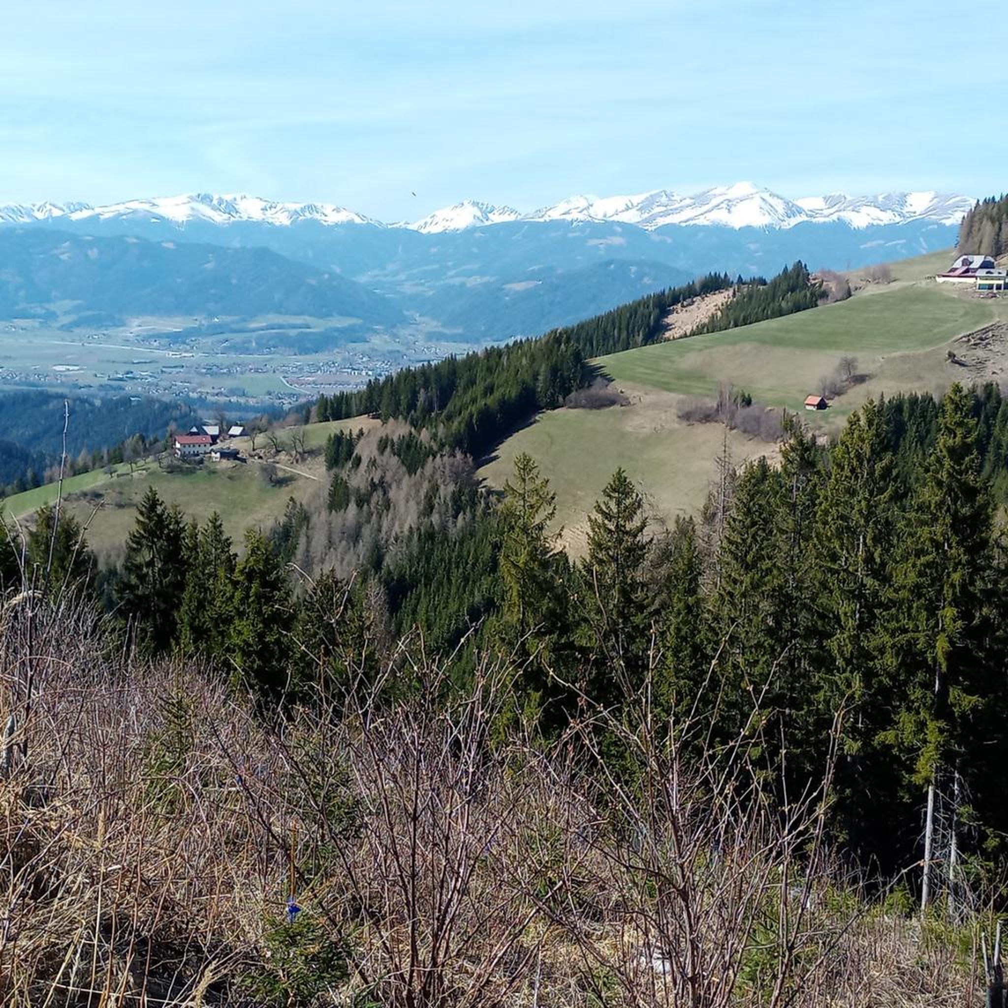
Road Cycling Routes around Lobmingtal
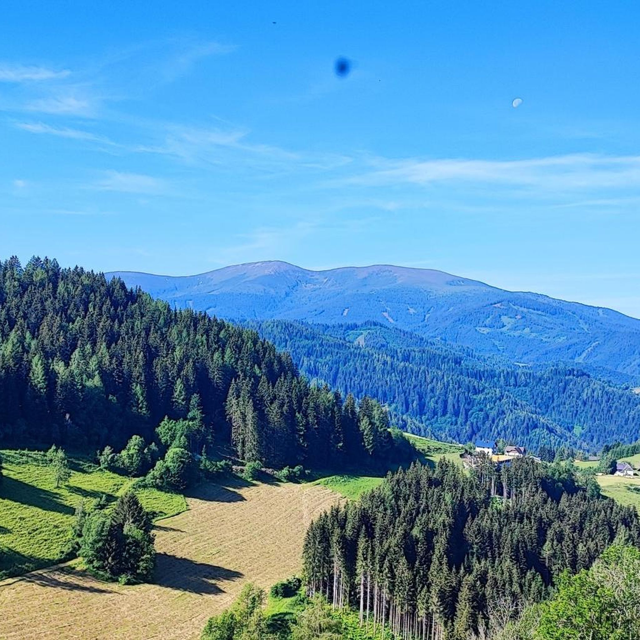
Hiking around Lobmingtal
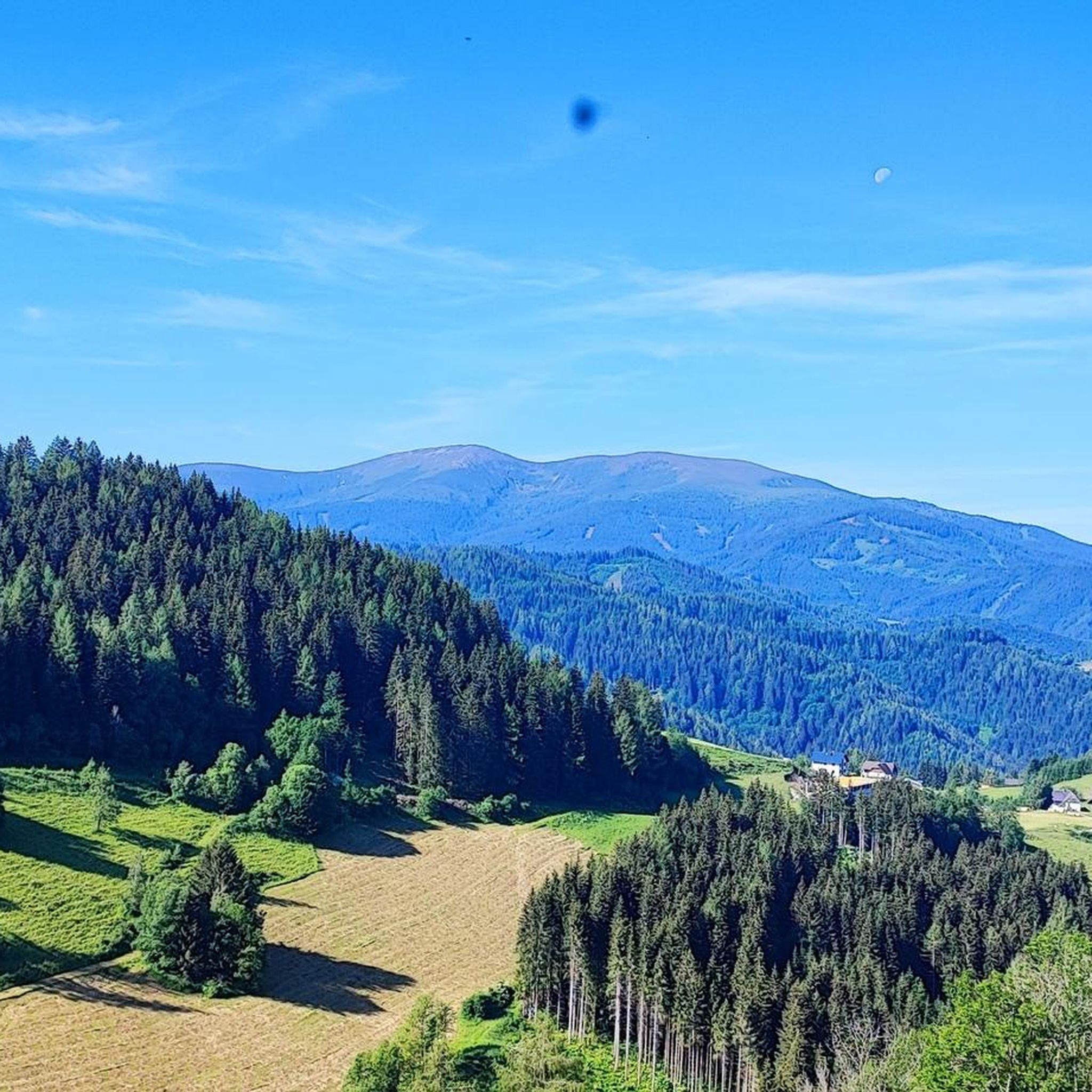
Cycling around Lobmingtal
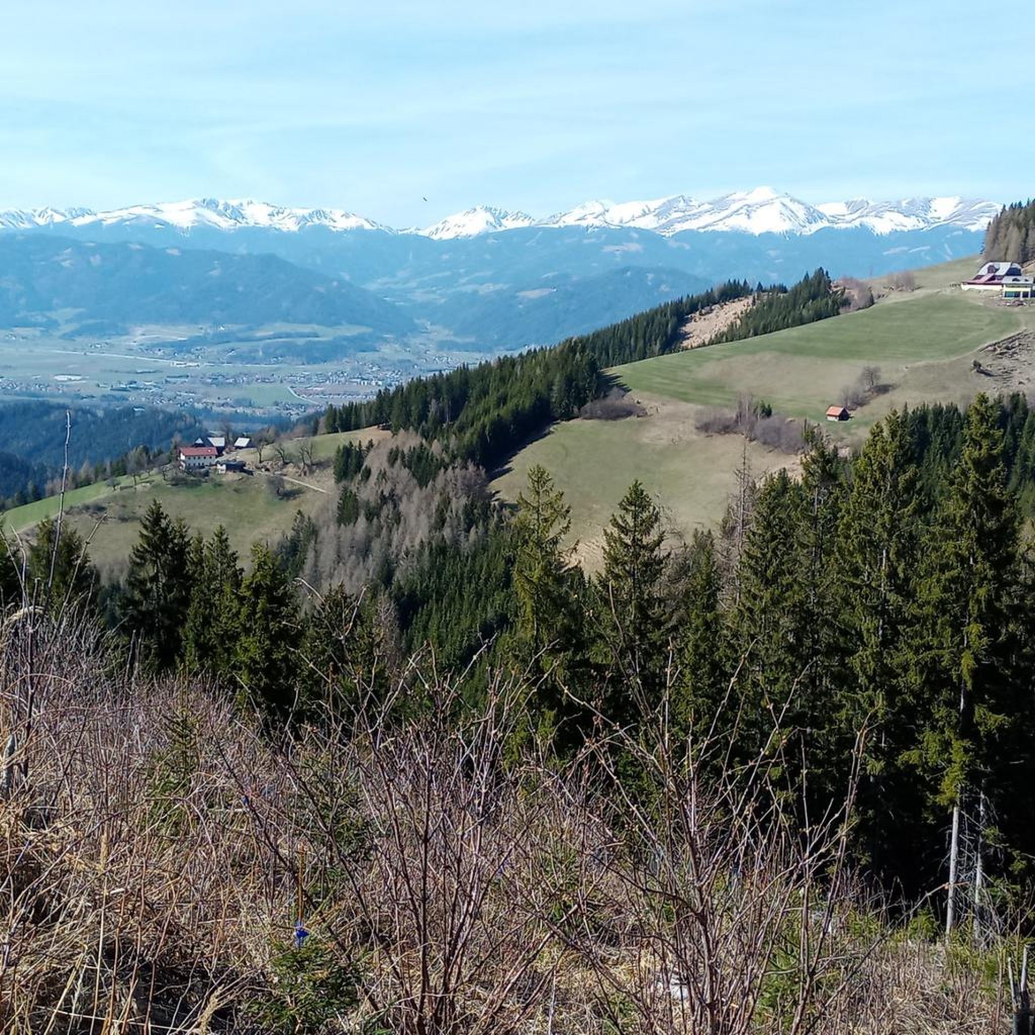
Running Trails around Lobmingtal

Mountain Hikes around Lobmingtal


Tips from the Community

The Steinplan Schutzhaus is unfortunately not open at the moment (as of 29.05.2026). Changes should be published here: https://steinplan-schutzhaus.naturfreunde.at
0
0


Great facility for sporty kids.
3
0
Frequently Asked Questions
What is the typical difficulty of gravel bike trails in Lobmingtal?
Gravel biking in Lobmingtal primarily features moderate to difficult routes. Out of the 10 available routes, 4 are considered moderate and 6 are difficult, often involving significant elevation gains and mountainous terrain.
Are there beginner-friendly gravel bike trails in Lobmingtal?
While there are no routes explicitly categorized as 'easy', some of the moderate trails might be suitable for beginners with a good fitness level. For instance, the Mur Bridge at Knittelfeld – View of Judenburg loop from Spielberg is a shorter, moderate option with less elevation gain compared to the more challenging mountain ascents.
What are some challenging gravel routes for experienced riders?
Experienced riders looking for a challenge will find several difficult routes. The Granitzenbach Wooden Bridge – Salzstiegelhaus loop from Zeltweg is a demanding 43.6 km (27.1 miles) route with over 900 meters (3,000 feet) of climbing, offering a substantial workout.
When is the best season for gravel biking in Lobmingtal?
The best season for gravel biking in Lobmingtal is typically from late spring through early autumn (May to October). During these months, the weather is generally mild, and trails are clear of snow, offering optimal conditions for exploring the diverse landscapes.
What are the conditions like for gravel biking in winter?
Gravel biking in Lobmingtal during winter can be challenging due to snow and ice, especially at higher elevations. Many trails may be impassable or require specialized equipment. Lower-lying routes along river valleys might be rideable on clear days, but always check local conditions and forecasts before heading out.
Are there opportunities for refreshment stops along the gravel trails?
Yes, several routes pass by or near places where you can stop for refreshments. For example, the Mur Bridge at Knittelfeld – Almrast Roatmoar loop from Spielberg leads through varied landscapes where you might find local eateries or 'Almrast' (mountain inns) to refuel.
Where can I find scenic viewpoints on the gravel bike trails?
Lobmingtal offers numerous scenic viewpoints, particularly on routes that ascend to higher ground. The Steinplan Summit Cross – Steinplan Shelter loop from Knittelfeld provides stunning views from the Steinplan area. Additionally, the Tremmelberg Observation Tower is a notable highlight offering panoramic vistas of the region.
Are there circular gravel bike routes available?
Yes, many of the gravel bike routes in Lobmingtal are designed as circular loops, allowing you to start and end at the same point. Examples include the popular Water point – Steinplan Summit Cross loop from Spielberg and the Mur Bridge at Knittelfeld – Almrast Roatmoar loop from Spielberg.
What can I see along the gravel bike trails in Lobmingtal?
Beyond the natural beauty of river valleys and forested hills, you can encounter various points of interest. Routes often lead past significant landmarks like the Steinplan Summit Cross. You might also find serene spots like the Rattenberger Ponds or the Reservoir at Speikkogel, offering picturesque breaks.
Where can I find parking near gravel bike trailheads?
Many trailheads in Lobmingtal, especially those starting from towns like Spielberg, Knittelfeld, or Zeltweg, offer designated parking areas. It's advisable to check the starting point of your chosen route on komoot for specific parking information, as options can vary.
Can I reach gravel bike trails in Lobmingtal using public transport?
Lobmingtal is accessible by public transport, particularly via train to towns like Knittelfeld, which serves as a good starting point for several routes. From these central locations, you can often connect to trailheads by bike or local bus services. Always check current schedules and bike transport policies before planning your trip.
Are there any less-known gravel bike trails worth exploring?
While the guide highlights popular routes, the region's extensive network means there are always quieter paths to discover. Exploring the smaller forest roads and agricultural tracks away from the main valleys can reveal hidden gems and offer a more secluded gravel biking experience.
Most popular routes around Lobmingtal
Most popular attractions around Lobmingtal

Get inspired with the komoot mobile app


Explore more
Browse the best Gravel rides in other regions.
