The best gravel rides around Hirschbach im Mühlkreis
4.8
(12)
56
riders
28
rides
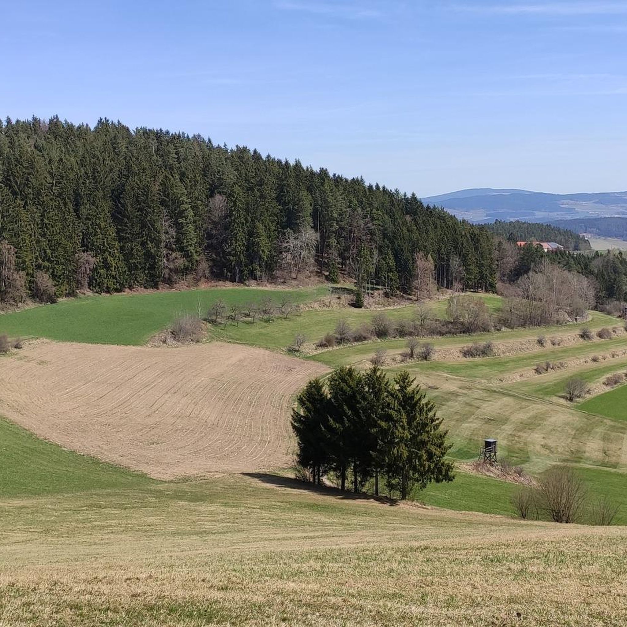
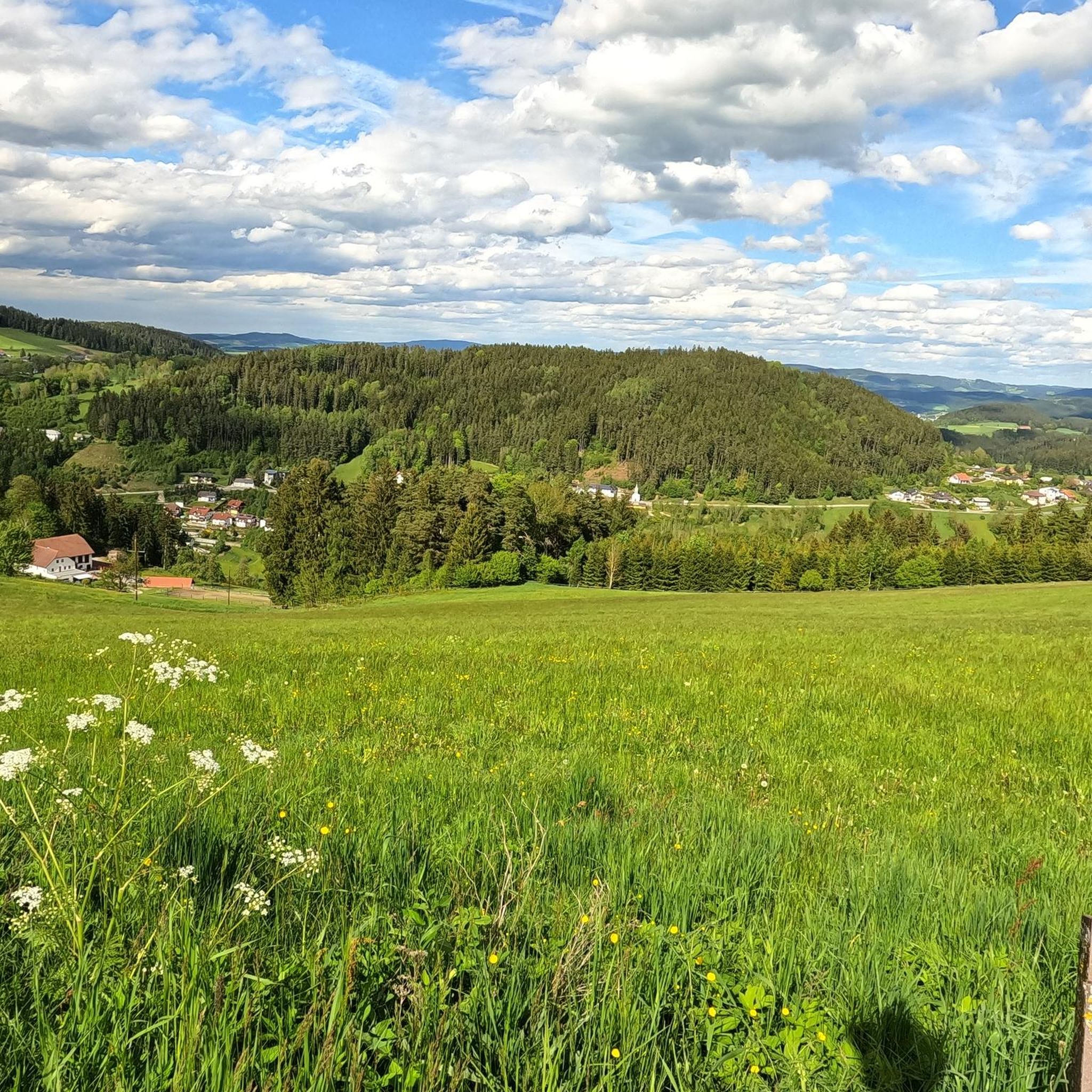
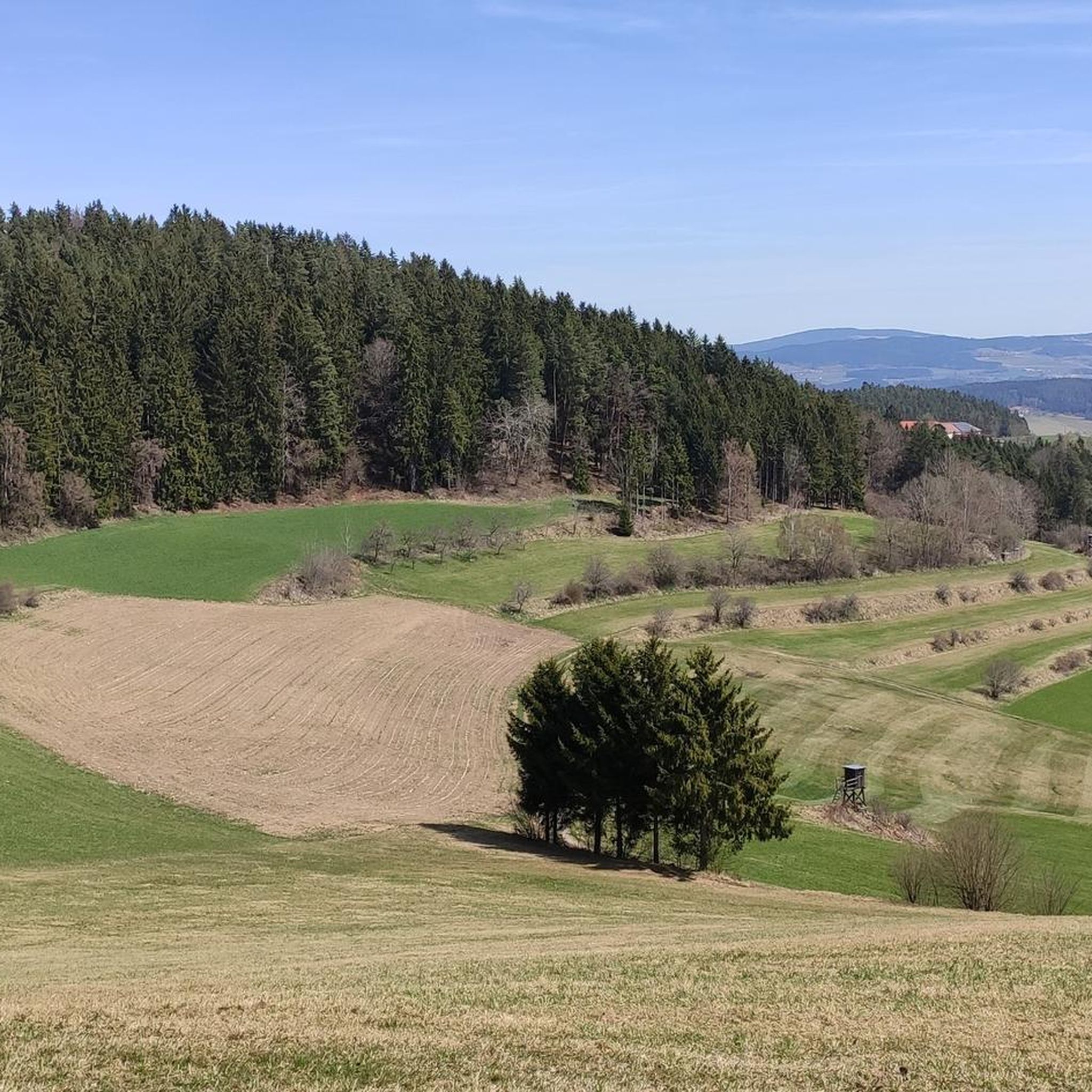
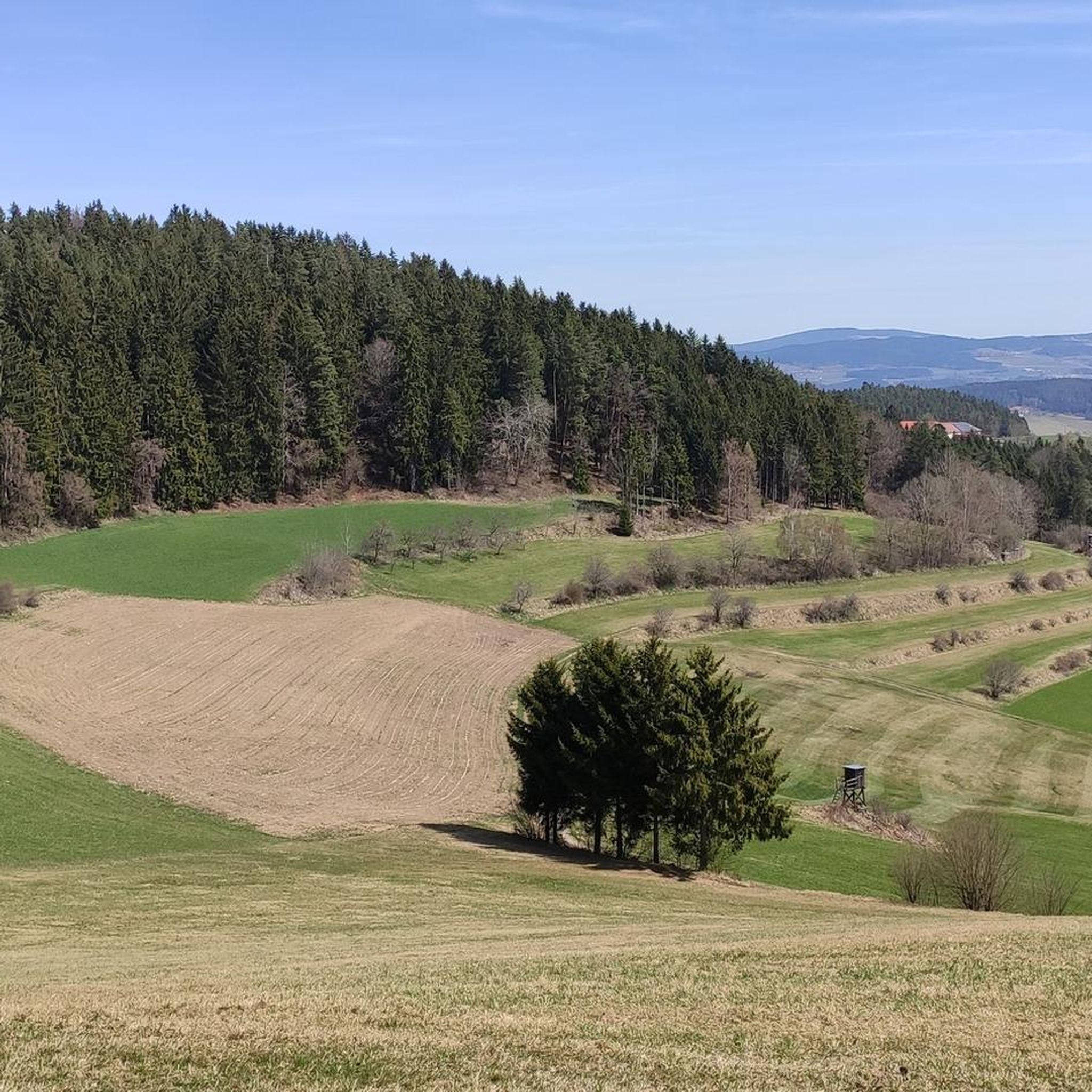
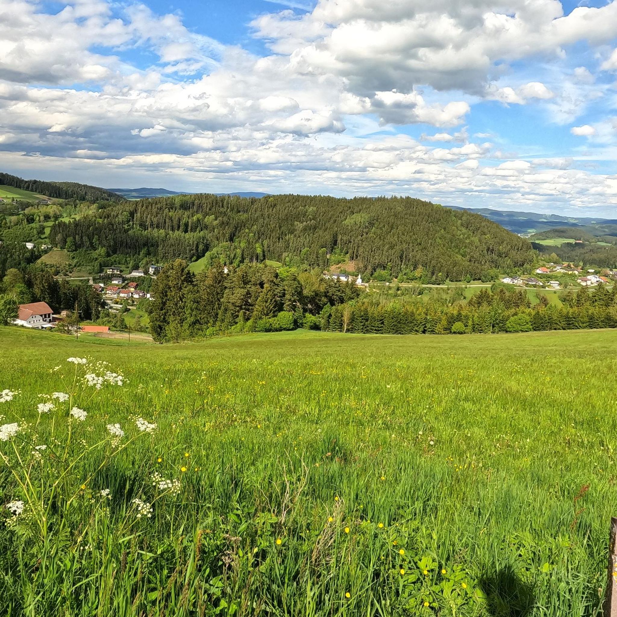
Gravel biking around Hirschbach im Mühlkreis offers a diverse landscape characterized by rolling hills, forested sections, and open countryside, providing varied terrain for gravel cyclists. The region features a network of trails suitable for different skill levels, from moderate paths to more challenging routes with significant elevation gains. These gravel bike trails traverse the Mühlviertel region, known for its natural beauty and quiet roads. The area provides a mix of paved and unpaved surfaces, ideal for gravel cycling.
Best gravel bike trails around Hirschbach im Mühlkreis
- The most popular gravel bike trail is 1000-Meter Spot – Iron Curtain Memorial loop from Bad Leonfelden, a 33.8 miles (54.3 km) trail that takes about 3 hours 29 minutes to complete. This difficult route features notable elevation changes through varied terrain.
- Another top favourite among local gravel bikers is Rading Swedish Rampart – Rading Fish Ponds loop from Bad Leonfelden, a moderate 15.8 miles (25.4 km) path. This route offers a mix of forest paths and open sections, suitable for a shorter ride.
- Local gravel bikers also love the Bad Leonfelden Market Square – Rading Fish Ponds loop from Bad Leonfelden, a 21.3 miles (34.2 km) trail leading through rural landscapes and past water features, often completed in about 2 hours 17 minutes.
- Gravel biking around Hirschbach im Mühlkreis is defined by rolling hills, dense woodlands, and open agricultural areas. The network offers options for different ability levels, including moderate and difficult routes.
- The routes in Hirschbach im Mühlkreis are highly rated by the komoot community with an average score of 4.8 stars from over 10 reviews. More than 50 gravel bikers have used komoot to explore Hirschbach im Mühlkreis's varied terrain.
Last updated: July 3, 2026
4.0
(7)
23
riders
54.3km
03:29
810m
810m
Hard gravel ride. Very good fitness required. Mostly paved surfaces. Suitable for all skill levels.
5.0
(1)
5
riders
25.4km
01:51
440m
440m
Moderate gravel ride. Good fitness required. Mostly paved surfaces. Suitable for all skill levels.

Sign up for free
5.0
(1)
9
riders
34.2km
02:20
630m
630m
Hard gravel ride. Very good fitness required. Mostly paved surfaces. Suitable for all skill levels.
2
riders
Hard gravel ride. Very good fitness required. Mostly paved surfaces. Suitable for all skill levels.
3
riders
34.3km
02:40
640m
640m
Hard gravel ride. Very good fitness required. Mostly paved surfaces. Suitable for all skill levels.
Get access to more routes and recommendations from other explorers.
Sign up for free
Already have an account?
Our route recommendations are based on thousands of hikes, rides, and runs completed by other people on komoot.
Start today with a free account
Your next adventure awaits.
Login or Signup
Tips from the Community

Very nice tour for all Ebikes !!!!
0
0

Beautiful bike path, beautiful view.
0
0
Beautiful cycle path and Vltava
0
0
Beautiful new cycle path along the Vltava
1
0

According to historical plaques, the ramparts were used three times: during the Thirty Years' War, during the wars against the Turks, and during an outbreak of the plague.
1
0

It points to a geological condition whereby the Rodl flows into the Danube and this in turn into the Black Sea, while on the other hand the Granitzbach flows into the Vltava, Elbe and North Sea.
6
0
The Schwedenschanze was built during the Thirty Years' War to protect against the invasion of the Swedish army from the north
4
0
Small border crossing for pedestrians and cyclists
6
0
Frequently Asked Questions
How many gravel bike trails are available around Hirschbach im Mühlkreis?
There are over 40 gravel bike trails in the Hirschbach im Mühlkreis area, offering a diverse range of options for cyclists. These routes traverse the scenic Mühlviertel region, known for its rolling hills and varied terrain.
Are there easy gravel bike trails suitable for beginners in Hirschbach im Mühlkreis?
While there are no routes specifically classified as 'easy', you'll find 11 moderate gravel bike trails that are well-suited for beginners or those looking for a less strenuous ride. A good option is the Rading Swedish Rampart – Rading Fish Ponds loop from Bad Leonfelden, which offers a mix of forest paths and open sections.
What about more challenging gravel routes for experienced riders?
For experienced gravel bikers seeking a challenge, there are 30 difficult routes available. These trails often feature significant elevation changes and varied terrain. Consider the 1000-Meter Spot – Iron Curtain Memorial loop from Bad Leonfelden for a demanding ride with notable climbs.
Are there any long-distance gravel routes in the Hirschbach im Mühlkreis area?
Yes, several routes offer longer distances for endurance riders. The 1000-Meter Spot – Iron Curtain Memorial loop from Bad Leonfelden, for example, covers approximately 54.3 km (33.8 miles) and takes around 3.5 hours to complete, making it a substantial ride.
Can I find circular gravel bike routes in Hirschbach im Mühlkreis?
Many of the gravel bike routes in the region are designed as loops, allowing you to start and end at the same point. The Bad Leonfelden Market Square – Rading Fish Ponds loop from Bad Leonfelden is a popular circular option, leading through rural landscapes and past water features.
What is the best time of year for gravel biking in Hirschbach im Mühlkreis?
The best time for gravel biking in Hirschbach im Mühlkreis is typically from spring through autumn (April to October). During these months, the weather is generally mild, and the trails are in good condition. Spring offers lush greenery, while autumn provides beautiful foliage.
Are there any gravel bike routes with scenic viewpoints or natural attractions?
The Mühlviertel region is known for its natural beauty, and many gravel routes offer scenic views of rolling hills, dense woodlands, and open agricultural areas. While specific viewpoints aren't always named, the varied landscape ensures a picturesque ride. The routes often pass by natural features like the Rading Fish Ponds, offering tranquil spots.
Are there family-friendly gravel biking options in Hirschbach im Mühlkreis?
While the region primarily features moderate to difficult routes, families with some cycling experience can enjoy the moderate trails. These paths often include a mix of forest and open sections, providing varied scenery without extreme technical challenges. Always check the route details for elevation and surface type to ensure it suits your family's ability.
What do other gravel bikers enjoy most about the trails in Hirschbach im Mühlkreis?
The komoot community highly rates the gravel biking experience here, with an average score of 4.8 stars from over 10 reviews. Reviewers often praise the diverse landscape, the quiet roads, and the mix of paved and unpaved surfaces that make for an engaging gravel ride. The region's natural beauty and varied terrain are frequently highlighted.
Are there any gravel bike routes that pass by cafes or places to stop for refreshments?
Many routes in the Mühlviertel region pass through or near small towns and villages where you can find local cafes or inns for refreshments. While not explicitly listed for every route, planning your ride to include stops in places like Bad Leonfelden or Neumarkt im Mühlkreis will allow for breaks and local culinary experiences.
Is it possible to access gravel bike trails using public transport in Hirschbach im Mühlkreis?
Public transport options in rural areas like Hirschbach im Mühlkreis can be limited. While some regional bus services connect larger towns, direct access to trailheads might require careful planning. It's advisable to check local bus schedules in advance or consider starting your ride from a town like Bad Leonfelden, which may have better connections.
Are there parking facilities available at the trailheads?
Many gravel bike routes in the region start from towns or villages such as Bad Leonfelden or Neumarkt im Mühlkreis, where public parking is generally available. Look for designated parking areas within these communities, often near market squares or public facilities, which serve as convenient starting points for your ride.
Most popular routes around Hirschbach im Mühlkreis
Most popular attractions around Hirschbach im Mühlkreis

Get inspired with the komoot mobile app


Explore more
Browse the best Gravel rides in other regions.
