The best gravel rides around Geiersberg
4.3
(3)
20
riders
7
rides
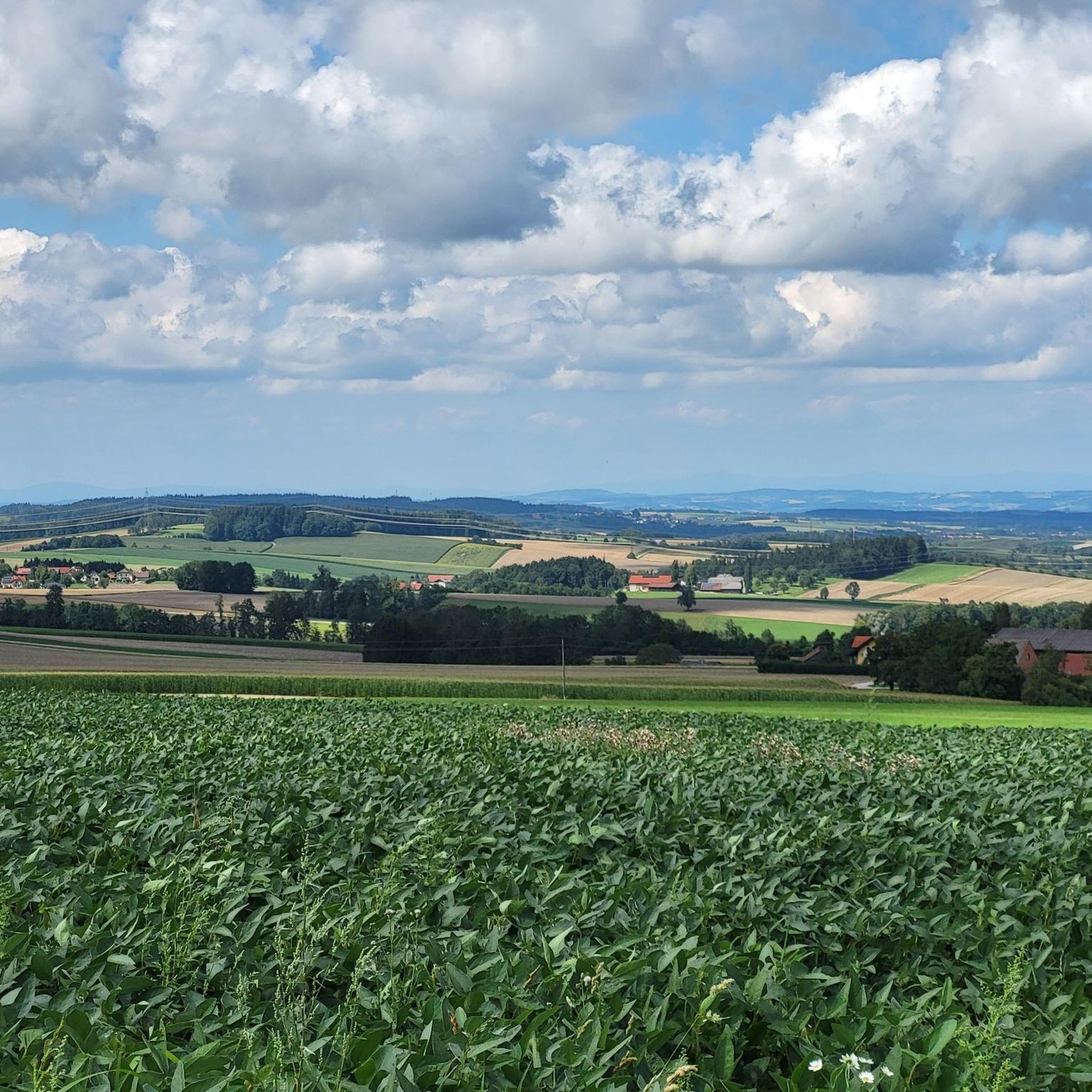
Gravel biking around Geiersberg offers diverse landscapes characterized by rolling hills and a mix of terrains suitable for off-road cycling. The region features a network of paved roads, gravel paths, and forest tracks, providing varied surfaces for exploration. Riders can expect routes that traverse scenic side valleys, expansive forests, and past idyllic lakes, offering views of the natural surroundings. This topography, part of the broader Upper Austria region, supports both leisurely rides and challenging adventures.
Best gravel bike trails around…
Last updated: July 2, 2026
3
riders
31.7km
02:16
470m
470m
Hard gravel ride. Very good fitness required. You may need to push your bike for some segments of this route.
5.0
(1)
3
riders
25.3km
01:50
470m
470m
Hard gravel ride. Very good fitness required. Mostly paved surfaces. Suitable for all skill levels.

Sign up for free
5
riders
50.2km
03:10
660m
660m
Hard gravel ride. Very good fitness required. Mostly paved surfaces. Suitable for all skill levels.
5.0
(1)
3
riders
27.2km
01:55
570m
570m
Hard gravel ride. Very good fitness required. You may need to push your bike for some segments of this route.
3.0
(1)
4
riders
46.9km
03:23
1,080m
1,080m
Hard gravel ride. Very good fitness required. Mostly paved surfaces. Suitable for all skill levels.
Get access to more routes and recommendations from other explorers.
Sign up for free
Already have an account?
Our route recommendations are based on thousands of hikes, rides, and runs completed by other people on komoot.
Start today with a free account
Your next adventure awaits.
Login or Signup
Tips from the Community

very good small local supplier and idyllic place
0
0

The Haager Lies Cycle Path is an impressive cycling and walking path in Austria that runs along a former railway line. Here are some interesting facts about this cycle path: 1. Route Length: - The cycle path stretches over 22 km and offers a scenic route through the region. 2. Start and End Points: - The route begins in Neukirchen bei Lambach and continues to Haag am Hausruck. 3. Difficulty: - The cycle path is considered difficult because it may contain sections with loose ground that are difficult to navigate. A good level of fitness is required. 4. Elevation Gains: - The tour includes up to 450 meters of elevation gain, making it a challenging but rewarding experience. 5. Nature Experience: - The cycle path leads through a beautiful landscape characterized by forests, meadows, and picturesque views. 6. **Duration**: - The average cycling time is approximately **1 hour and 35 minutes**, depending on individual fitness and breaks. The Hague Lies Cycle Route is therefore an ideal destination for cyclists and nature lovers who want to enjoy the beauty of nature.
0
0

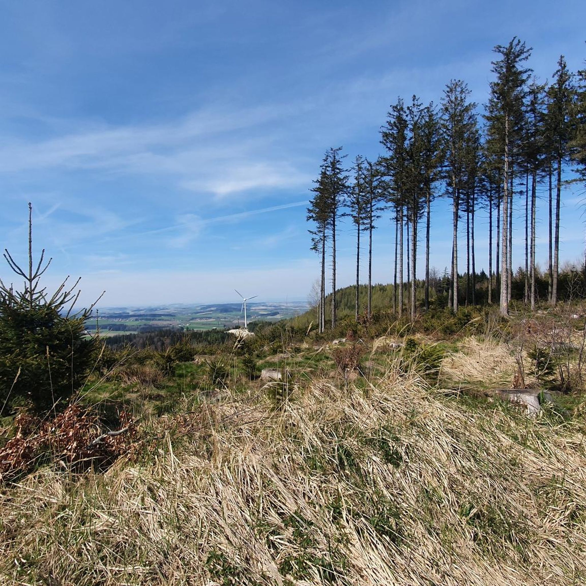
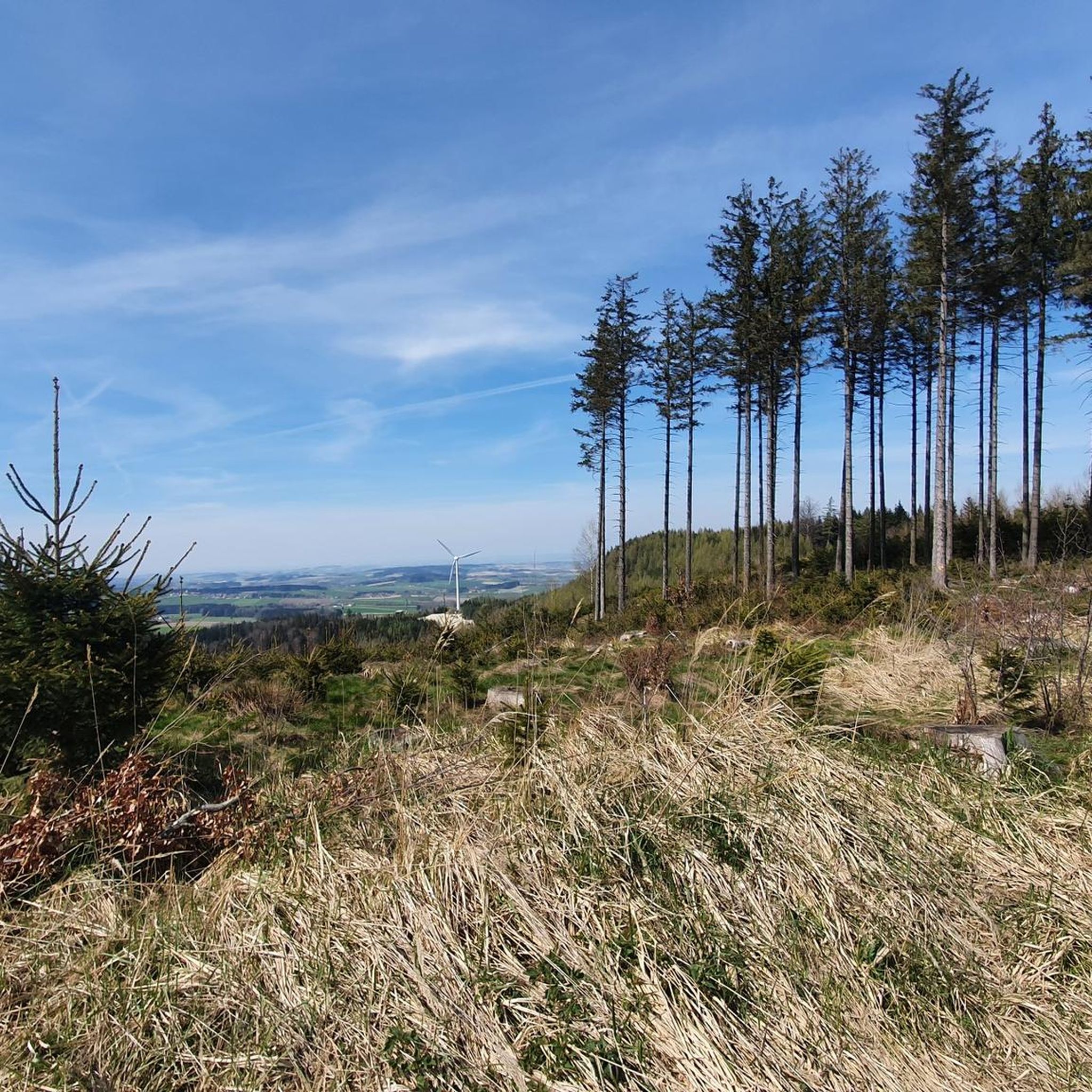
The view is currently obscured by trees. Nevertheless, there are beautiful spots along the way to enjoy the panoramic view.
1
0

It makes a very good impression. However, it was closed on Tuesday.
0
0

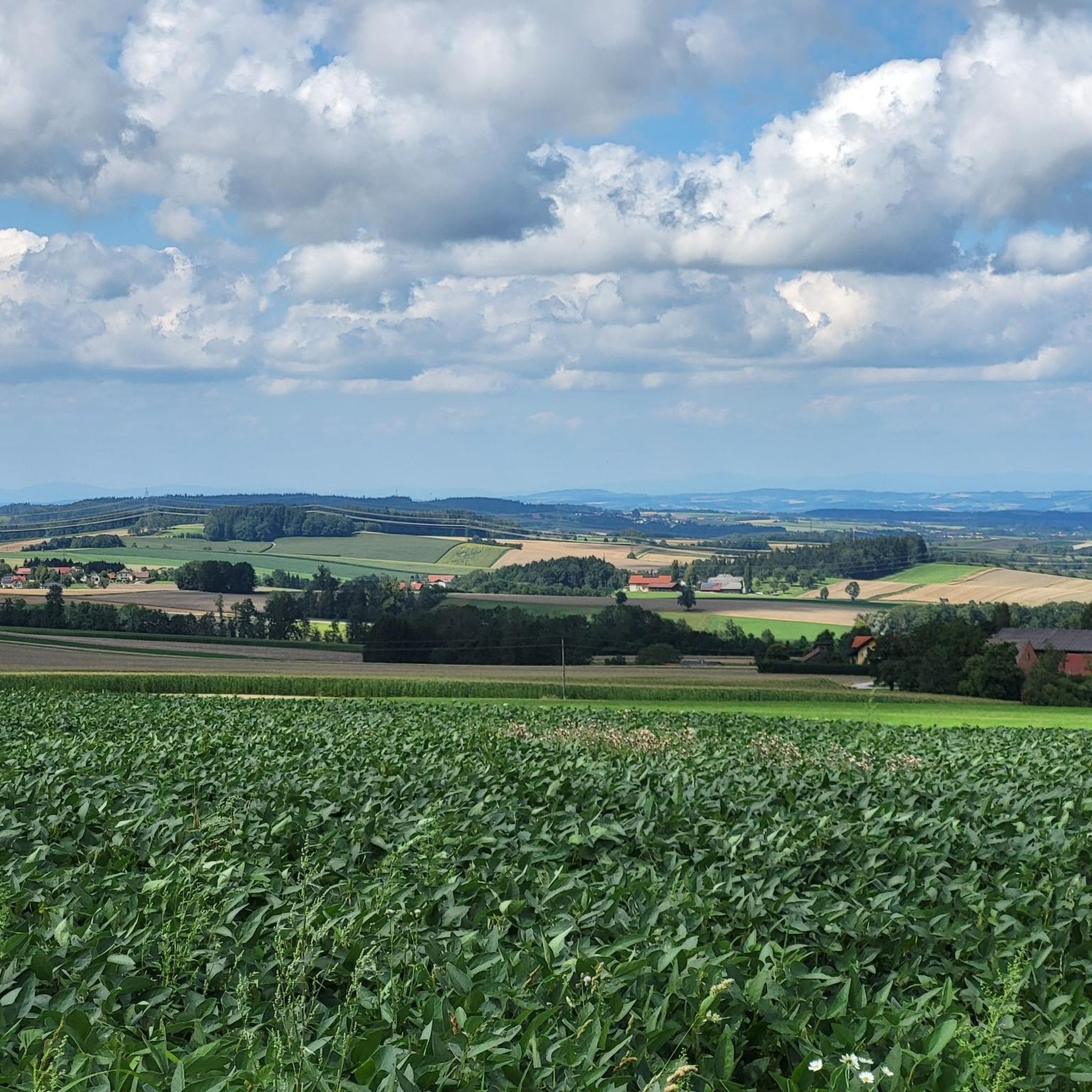
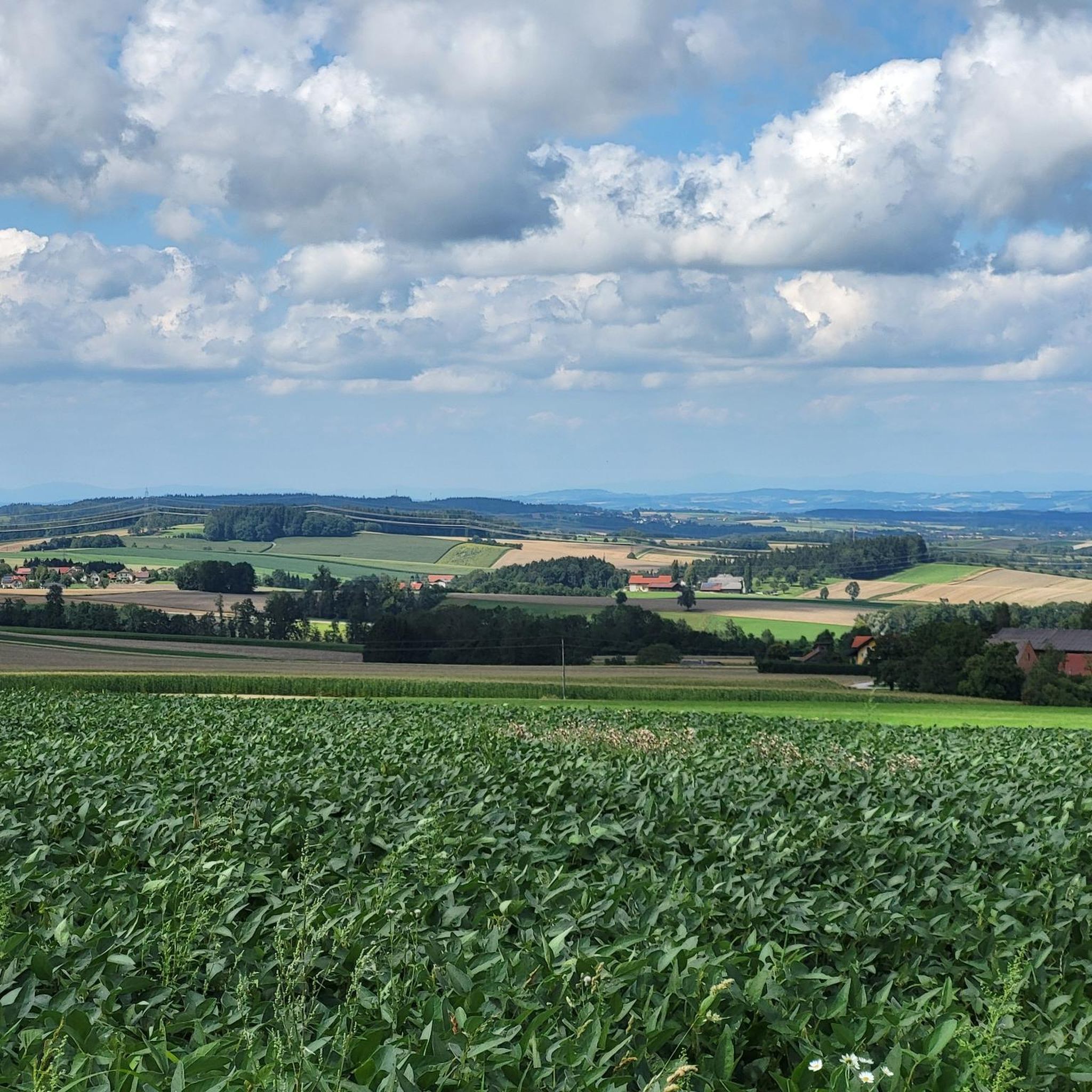
Views to the south include Traunstein and Priel, and to the north, to the Sauwald forest and the Altschwendt wind farm above Zell/Riedau. Just before that, a beautiful overview of the village in the valley and on the slopes.
0
0
A wonderful view over the "Pramtal" to the Sauwald in the north
0
0
At the Gumpinger Kreuz (Gumping Cross), a beautiful view over the rolling hills of the Innviertel towards the west. The information board also shows mountain peaks – which are probably only visible in foehn weather.
0
0
The platform should only be visited on foot - there is also a view down the road at the information board
0
0
Frequently Asked Questions
How many gravel bike trails are available around Geiersberg?
There are over 15 gravel bike trails around Geiersberg, offering a diverse range of experiences. The region's topography, characterized by rolling hills and varied terrains, provides a mix of paved roads, gravel paths, and forest tracks for exploration.
What is the general difficulty level of gravel biking routes in Geiersberg?
Gravel biking around Geiersberg is generally challenging, with most routes rated as difficult. While there are options for different ability levels, many routes present significant climbs and varied surfaces, making them suitable for experienced riders. For example, the Hubertus Chapel – Göblberg Observation Tower loop from Eberschwang features over 1000 meters of elevation gain.
Are there any routes that offer panoramic views or observation towers?
Yes, several routes provide excellent panoramic views. The Göblberg Observation Tower – Lederer Kopf Summit loop from Sulzberg includes ascents to an observation tower, offering expansive vistas of the surrounding area. Additionally, the Luisenhöhe Observation Deck is a notable viewpoint in the region.
What kind of landscapes can I expect to see on gravel bike trails in Geiersberg?
You can expect diverse landscapes characterized by rolling hills, expansive forests, and scenic side valleys. The trails often traverse a mix of paved roads, gravel paths, and forest tracks, providing varied surfaces and picturesque views of the natural surroundings, including idyllic lakes.
Are there any long-distance gravel rides near Geiersberg?
Yes, for those seeking longer rides, the View from Senzberg – Hubertus Chapel loop from Bad Ried is a substantial 50.2 km (31.2 miles) trail, offering extensive views and varied terrain, typically taking over 3 hours to complete.
What do other gravel bikers say about the trails in Geiersberg?
The gravel biking routes in Geiersberg are highly rated by the komoot community, with an average score of 4.4 stars from numerous reviews. Over 50 gravel bikers have used komoot to explore the varied terrain, often praising the diverse landscapes and challenging climbs.
Are there any circular gravel routes available?
Yes, many of the gravel routes around Geiersberg are designed as loops. For instance, the Oberentern – Geboltskirchen loop from Geboltskirchen is a popular 25.3 km (15.7 miles) circular trail leading through rolling hills and forest tracks.
What are some interesting natural attractions or landmarks near the gravel trails?
Beyond the trails, you can explore several natural attractions. The Prameter Swimming Lake offers a place to relax, and the Lederer Kopf Summit provides rewarding views. The broader Upper Austria region also features the Haager Lies Cycle Path, known for its scenic route and attractions like the 'Klangstamm'.
Is there public transport access to the gravel biking trails in Geiersberg?
While specific public transport connections directly to trailheads may vary, the broader Upper Austria region is well-equipped for cycling. For detailed information on reaching specific starting points, it's recommended to check local public transport schedules for connections to towns like Haag am Hausruck or Bad Ried, which serve as common starting points for routes.
Are there any beginner-friendly gravel routes in Geiersberg?
Most gravel routes in Geiersberg are rated as difficult due to the rolling hills and varied terrain. While there are no explicitly easy routes listed, riders new to gravel biking might consider shorter sections of established routes or focus on the less steep forest tracks, keeping in mind the overall challenging nature of the region's trails.
What are the typical trail conditions for gravel biking in Geiersberg?
The trails in Geiersberg feature a mix of surfaces, including paved roads, gravel paths, and forest tracks. Riders should expect varied conditions, with some sections potentially having loose ground, especially on routes like parts of the Haager Lies Cycle Path. The diverse terrain requires a capable gravel bike.
Are there any cafes or places to stop for refreshments near the gravel bike trails?
The region offers amenities for cyclists. Haag am Hausruck Market Square, for example, is a recognized hub with e-bike charging stations and is a starting point for various routes, suggesting nearby facilities. While specific cafes on every trail are not guaranteed, towns and villages along the routes will typically offer refreshment options.
Can I find routes that include viewpoints or scenic overlooks?
Absolutely. Many routes are designed to showcase the region's beauty. The Viewpoint Taiskirchen – View from Stelzerberg loop from Geiersberg is a great example, specifically highlighting scenic viewpoints. The Luisenhöhe Observation Deck is also a popular spot for expansive views.
Most popular attractions around Geiersberg

Get inspired with the komoot mobile app


Explore more
Browse the best Gravel rides in other regions.
