The best gravel rides around Hochburg-Ach
4.3
(78)
491
riders
25
rides
Gravel biking around Hochburg-Ach offers diverse landscapes in Upper Austria's Innviertel region, bordering Germany. The area is characterized by the Salzach River, which forms a natural boundary, and the extensive 9,000-hectare Weilharts Forest. Riders can expect a mix of gentle hills, green forests, and open farmlands, with approximately 42% of the municipality covered by forest. This varied terrain provides numerous forest roads and riverside paths suitable for gravel riding.
Best gravel bike trails around Hochburg-Ach
- The most popular gravel bike trail is View of the Salzach River – Braunau Town Square loop from Burghausen (Oberbay), a 37.4 miles (60.3 km) trail that takes 3 hours 7 minutes to complete. This moderate route follows the Salzach River and passes through varied landscapes.
- Another top favourite among local gravel bikers is Unterhatermark on the Salzach – Tittmoning Castle loop from St. Radegund, a moderate 18.3 miles (29.5 km) path. This route offers scenic views along the Salzach and passes historical points of interest.
- Local gravel bikers also love the View of Burghausen – Inn River Cycle Path loop from Burghausen, a 25.8 miles (41.6 km) trail leading through riverside areas and offering views of Burghausen, often completed in about 3 hours 1 minute.
- Gravel biking around Hochburg-Ach is defined by riverside passages along the Salzach, extensive forest roads within the Weilharts Forest, and gentle hills across farmlands. The network offers options for different ability levels, from easy paths to more challenging moderate routes.
- The routes in Hochburg-Ach are highly rated by the komoot community with an average score of 4.4 stars from over 60 reviews. More than 400 gravel bikers have used komoot to explore Hochburg-Ach's varied terrain.
Last updated: October 5, 2026
4.3
(17)
101
riders
Moderate gravel ride. Good fitness required. Mostly paved surfaces. Suitable for all skill levels.
4.6
(7)
38
riders
Moderate gravel ride. Good fitness required. Mostly paved surfaces. Suitable for all skill levels.

4.8
(6)
25
riders
51.7km
02:58
360m
350m
Moderate gravel ride. Good fitness required. Mostly paved surfaces. Suitable for all skill levels.
4.3
(3)
19
riders
Moderate gravel ride. Good fitness required. Mostly paved surfaces. Suitable for all skill levels.
4.3
(4)
36
riders
41.6km
02:05
230m
230m
Moderate gravel ride. Good fitness required. Mostly paved surfaces. Suitable for all skill levels.
Get access to more routes and recommendations from other explorers.
Already have an account?
Our route recommendations are based on thousands of hikes, rides, and runs completed by other people on komoot.
Start today with a free account
Your next adventure awaits.
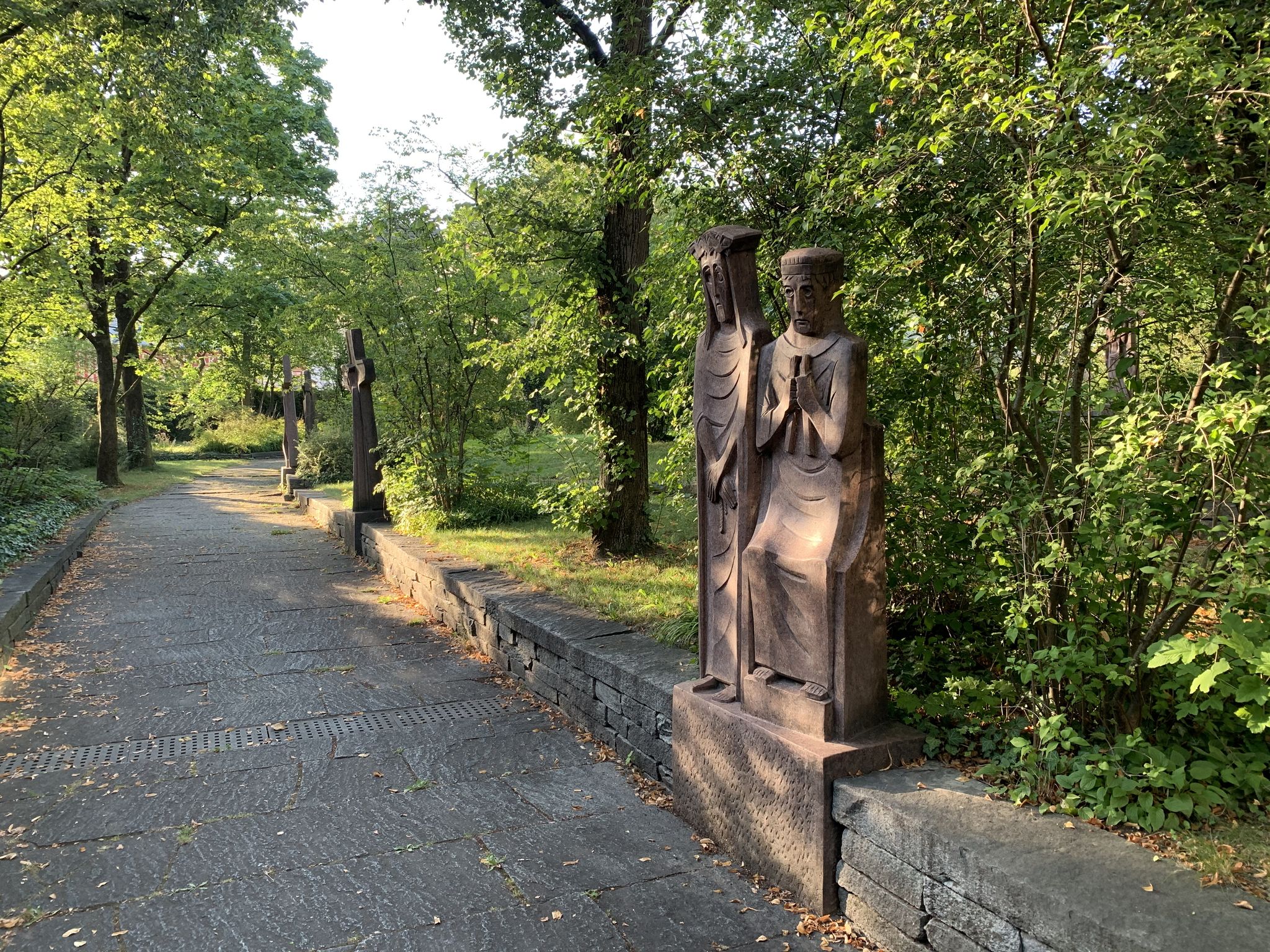
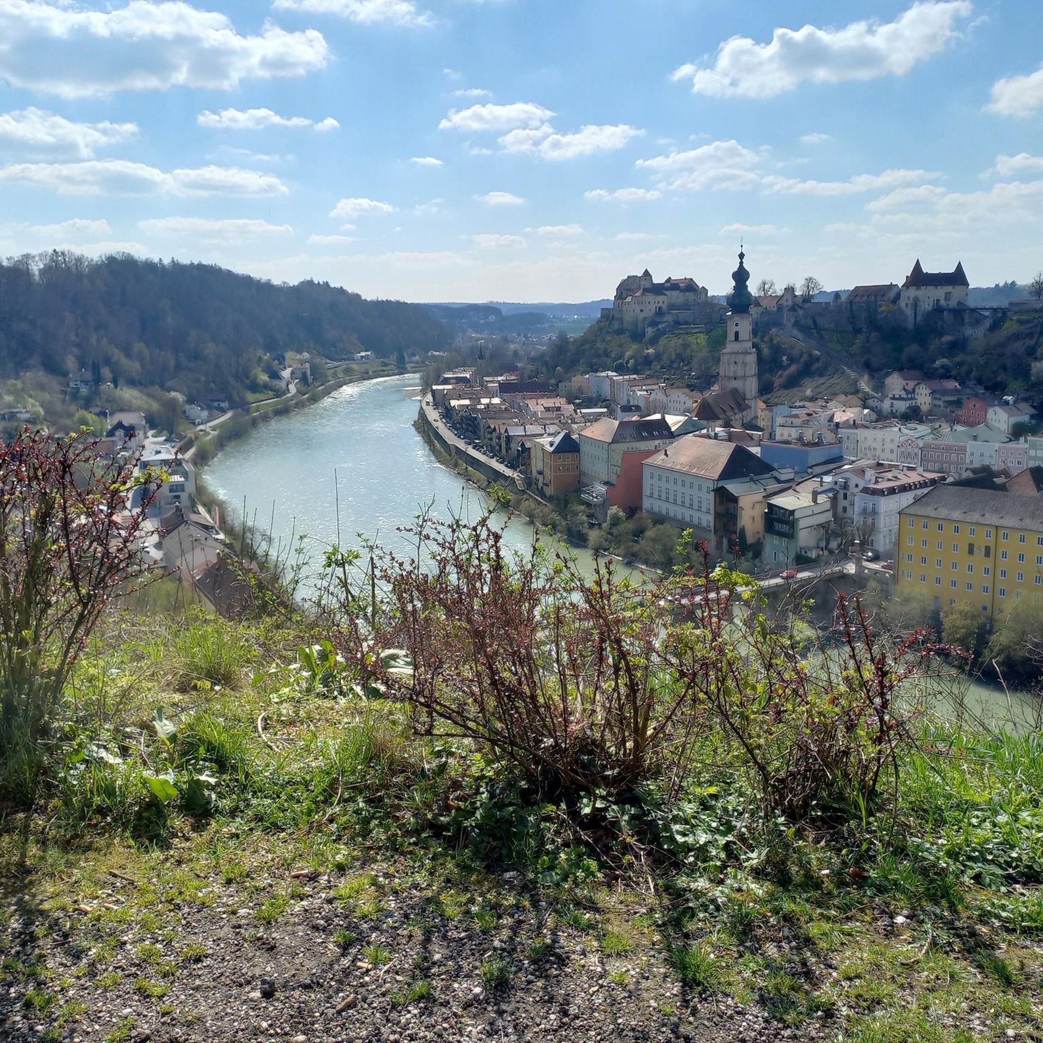
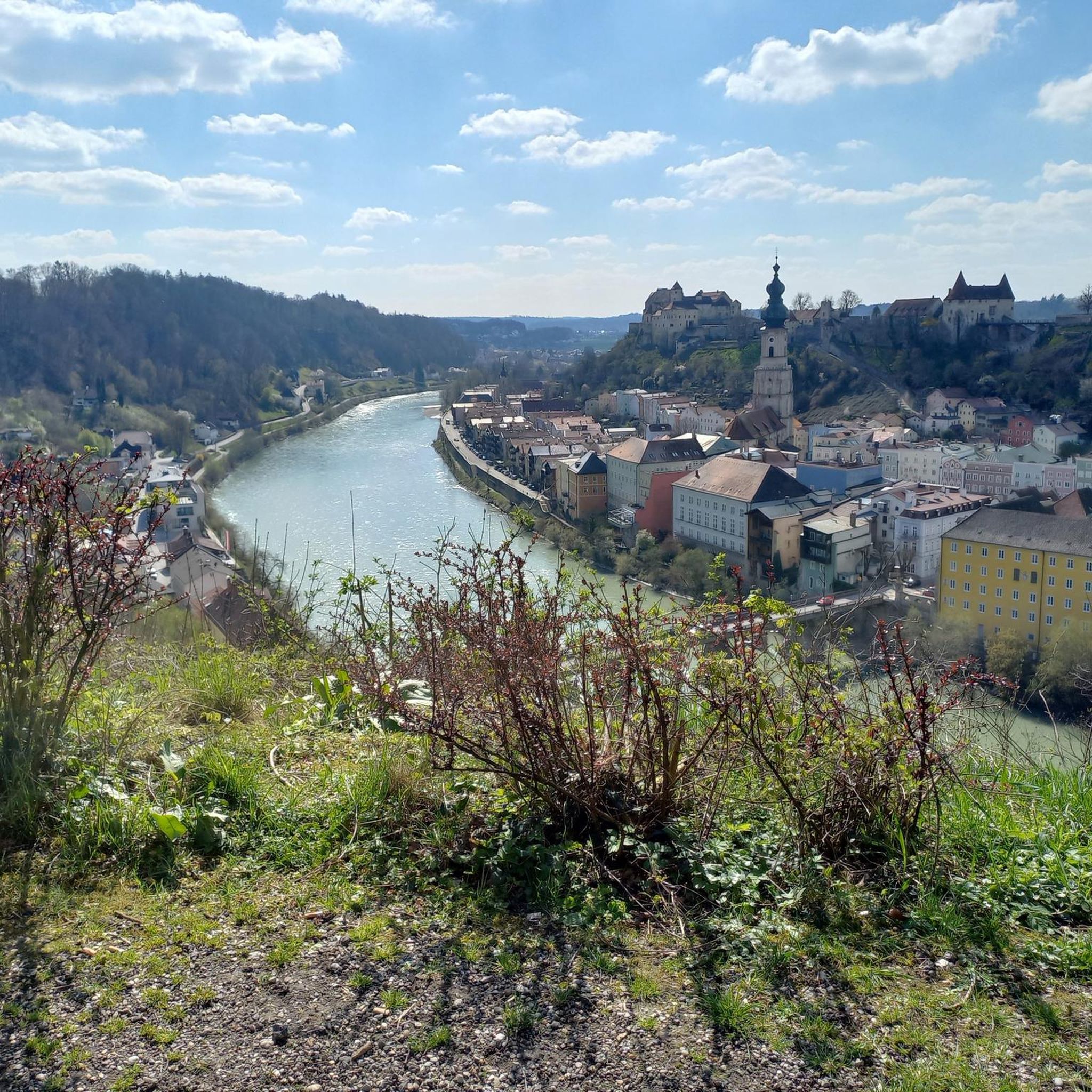
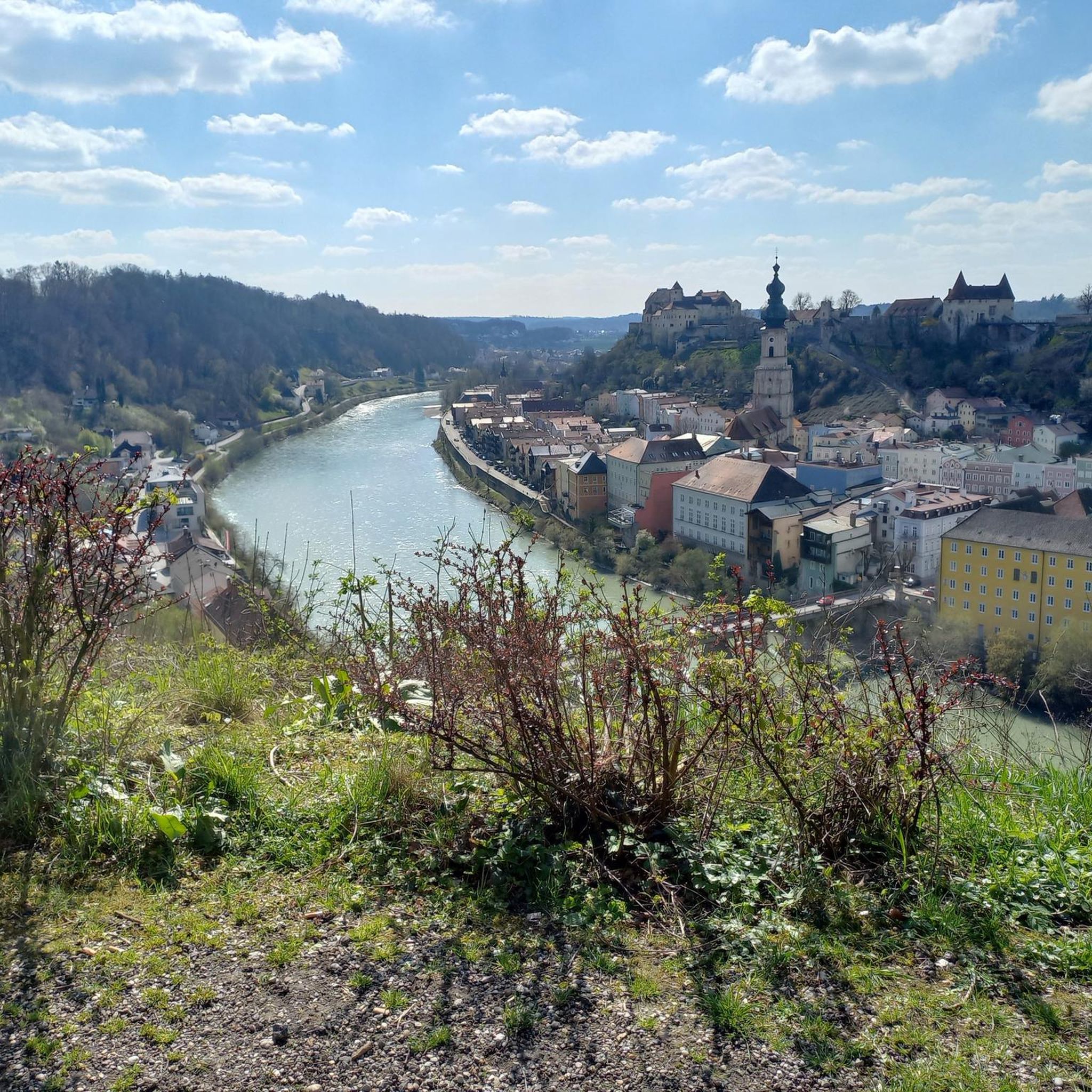
Other adventures around Hochburg-Ach

Tips from the Community

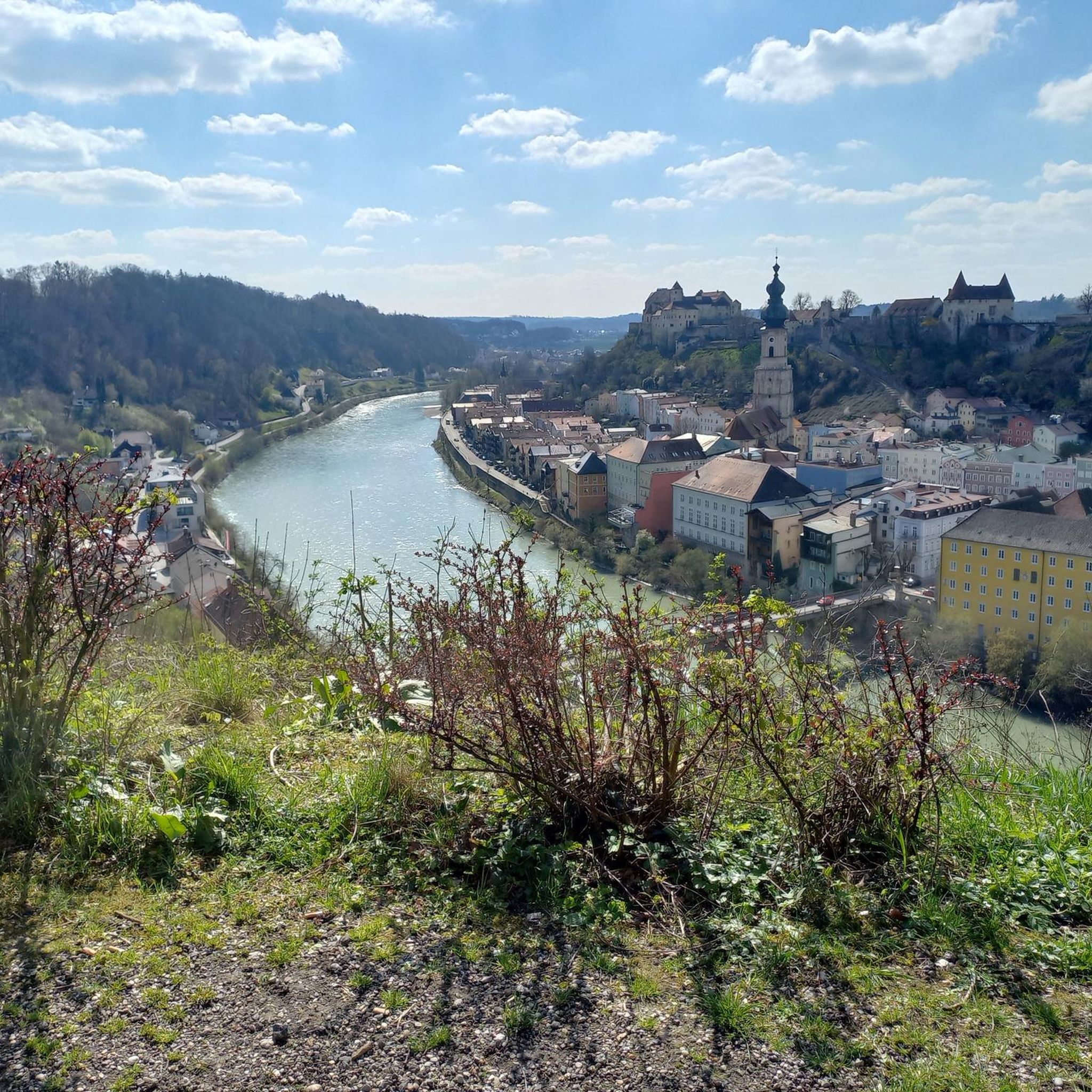
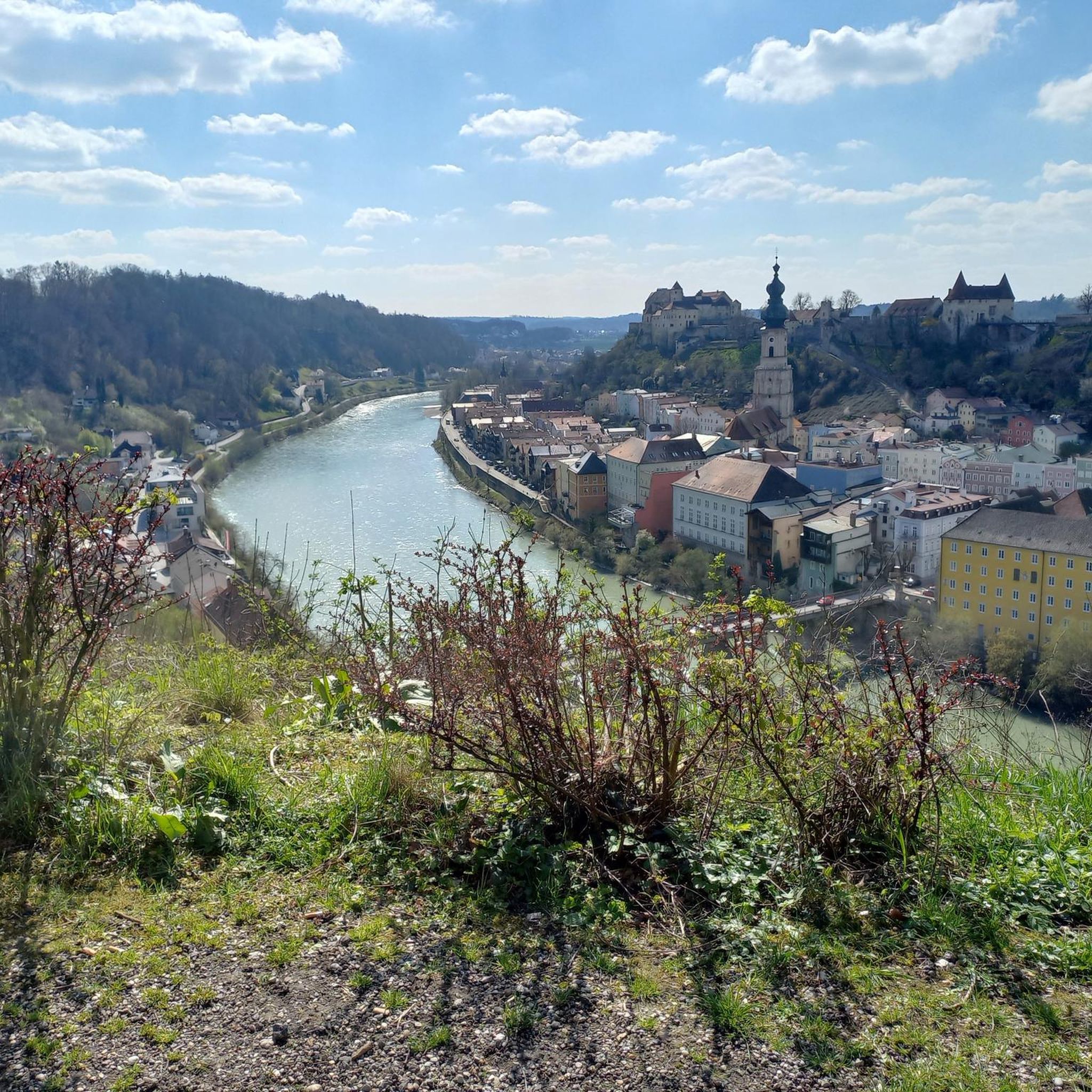
Great view of the castle, city and Salzach
0
0

Further spectacular views of Burghausen's historic center can be enjoyed from the viewing platform, a short walk further upstream (with a kiosk and restrooms). Photographers will find the perfect setting here for their ideal shot: the 6 x 6 m "Castle Window" by local artist Stefan Esterbauer. After a short walk back, the Schmallerl-Steig path leads back down to the "Old Bridge".
0
0

The town hall was built in the 18th century by combining three originally separate residential plots. The western façade was redesigned as a unified structure after the merger. The core of the Gothic atrium dates from the 14th and 15th centuries, while the façade dates back to the 18th century. The building was inhabited by the noble Mautner family before being acquired by the town in 1439. The façade features the Burghausen town coat of arms, with the Bavarian heraldic symbols of diamonds and lions above it.
13
0


Wide, straight, well maintained gravel road through the forest.
0
0

A beautiful walking path along the Salzach River; partly unpaved and untouched. Beyond the Kreuzfelsen rock, the trail was blocked because trees had fallen.
1
0


Interesting building
3
1
Frequently Asked Questions
How many gravel bike trails are available in Hochburg-Ach?
There are over 40 gravel biking routes around Hochburg-Ach, offering a variety of experiences for different skill levels. You'll find a mix of easy, moderate, and some more challenging options.
What kind of terrain can I expect on gravel bike trails in Hochburg-Ach?
Gravel biking in Hochburg-Ach features diverse landscapes. You'll encounter extensive forest roads within the 9,000-hectare Weilharts Forest, picturesque riverside passages along the Salzach River, and gentle hills across open farmlands. The region is characterized by green forests and varied terrain, making it ideal for gravel riding.
Are there any easy gravel bike routes suitable for beginners or families?
Yes, Hochburg-Ach offers several easy gravel biking routes. With 14 routes categorized as easy, you can find paths that are less demanding, often traversing gentle terrain through forests and along rivers, suitable for a relaxed ride with family.
What are some scenic viewpoints or natural features to look out for on the trails?
Many routes offer scenic views, particularly along the Salzach River. You might also encounter the vast Weilharts Forest. For specific viewpoints, consider visiting the View of the confluence of the Inn and Salzach, or the Cross Rock on the Salzach, which is a natural monument.
Are there any circular gravel bike routes in the Hochburg-Ach area?
Yes, many of the gravel bike routes in Hochburg-Ach are designed as loops. For example, the popular View of the Salzach River – Braunau Town Square loop from Burghausen (Oberbay) is a moderate 60.3 km circular trail that follows the Salzach River.
What historical or cultural attractions can I explore near the gravel trails?
Beyond the natural beauty, you can find several historical and cultural points of interest. The Unterhatermark on the Salzach – Tittmoning Castle loop from St. Radegund passes historical sites. You might also consider visiting Schloss Wanghausen, a 12th-century castle with a beautiful Rose Garden, or the Franz Xaver Gruber Peace Trail, which features art and information about the composer of 'Silent Night'.
What do other gravel bikers enjoy most about gravel biking in Hochburg-Ach?
The area is highly rated by the komoot community, with an average score of 4.4 stars from over 60 reviews. Reviewers often praise the varied terrain, the picturesque riverside passages, and the extensive forest roads that make for an engaging gravel biking experience.
Is it possible to find routes with parking options in Hochburg-Ach?
While specific parking details for each route vary, many trails around Hochburg-Ach are accessible from towns and villages where parking is generally available. It's advisable to check the starting points of individual routes on komoot for detailed parking information.
What is the best time of year for gravel biking in Hochburg-Ach?
The region's gentle hills and green forests make it enjoyable for gravel biking during most of the year. Spring and autumn offer pleasant temperatures and vibrant scenery. While winter riding is possible, be prepared for colder conditions and potentially muddy or icy sections, especially in the forest areas.
Are there any specific natural reserves or bird sanctuaries along the routes?
Yes, you can find natural reserves in the vicinity. The Salzach Estuary Bird Sanctuary (Nature Reserve) is a notable natural monument that some routes might pass near, offering opportunities for birdwatching.
Can I find routes that offer views of the historic town of Burghausen?
Absolutely. The View of Burghausen – Inn River Cycle Path loop from Burghausen is a 41.6 km trail that specifically offers views of Burghausen, including its impressive castle, recognized as the world's longest. The Aussichtsplatz Duttendorf also provides an exceptional panorama of the town.
Most popular routes around Hochburg-Ach
Most popular attractions around Hochburg-Ach

Get inspired with the komoot mobile app


Explore more
Browse the best Gravel rides in other regions.
