The best gravel rides around Kirchberg-Thening
4.6
(15)
206
riders
19
rides
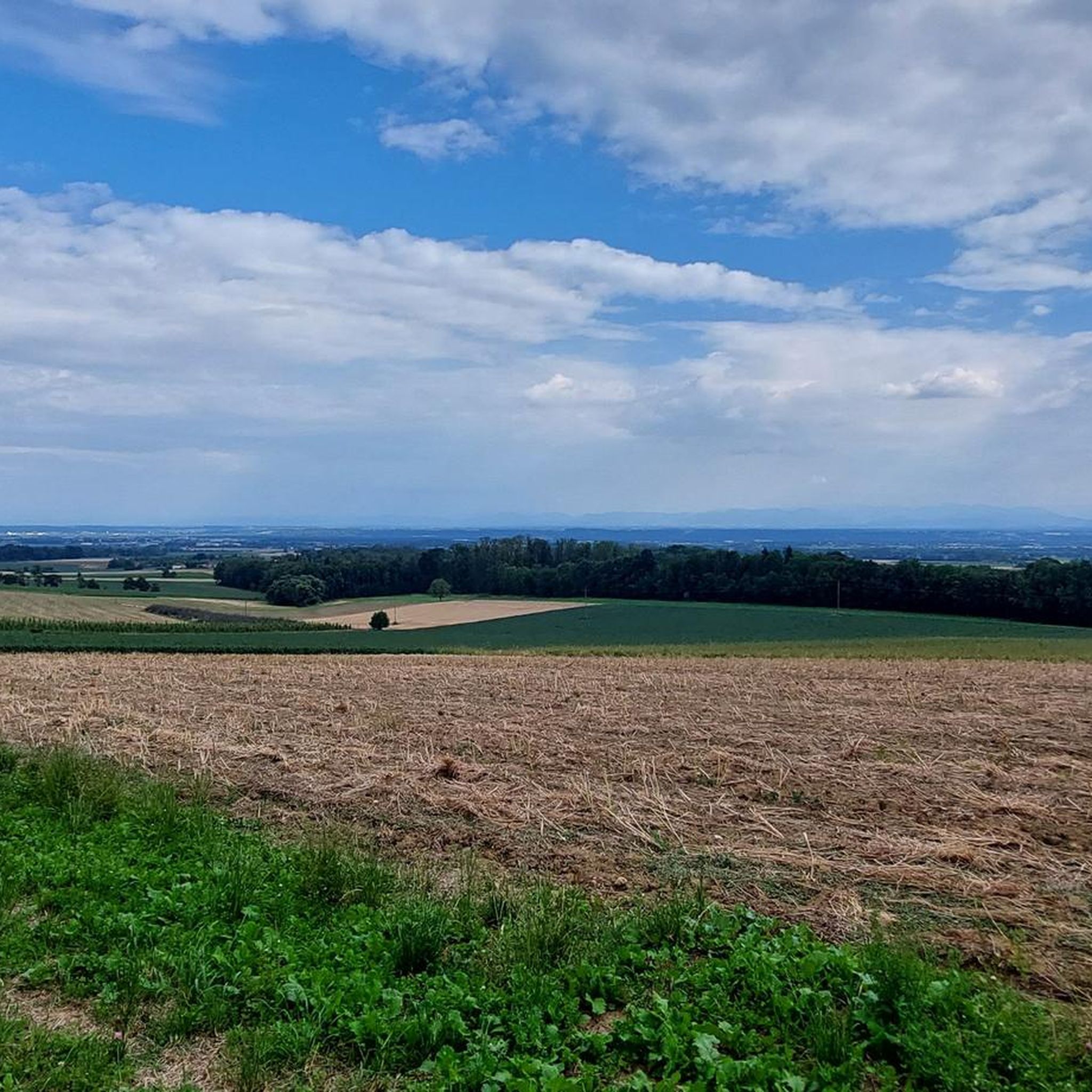
Gravel biking around Kirchberg-Thening offers routes through a landscape characterized by rolling hills, green meadows, and remote trails. The region is situated where the Wels Heath and Danube Valley converge, providing varied terrain for cyclists. Elevations range from approximately 290 to 441 meters above sea level, ensuring diverse riding experiences. This area provides a mix of paved and unpaved paths suitable for mixed-surface gravel riding.
Best gravel bike trails around Kirchberg-Thening
- The most popular gravel bike trail is Urfahrwänd Suspension…
Last updated: July 3, 2026
4.5
(8)
82
riders
43.1km
02:19
100m
100m
Hard gravel ride. Good fitness required. You may need to push your bike for some segments of this route.
5.0
(3)
23
riders
88.7km
06:27
1,690m
1,690m
Hard gravel ride. Very good fitness required. Mostly paved surfaces. Suitable for all skill levels.

Sign up for free
6
riders
Moderate gravel ride. Good fitness required. Mostly paved surfaces. Suitable for all skill levels.
6
riders
45.9km
03:08
530m
530m
Hard gravel ride. Very good fitness required. Mostly paved surfaces. Suitable for all skill levels.
4.0
(1)
4
riders
Easy gravel ride. Great for any fitness level. Mostly paved surfaces. Suitable for all skill levels.
Get access to more routes and recommendations from other explorers.
Sign up for free
Already have an account?
Our route recommendations are based on thousands of hikes, rides, and runs completed by other people on komoot.
Start today with a free account
Your next adventure awaits.
Login or Signup
Tips from the Community

A very sweet path as a shortcut to the airport
0
0

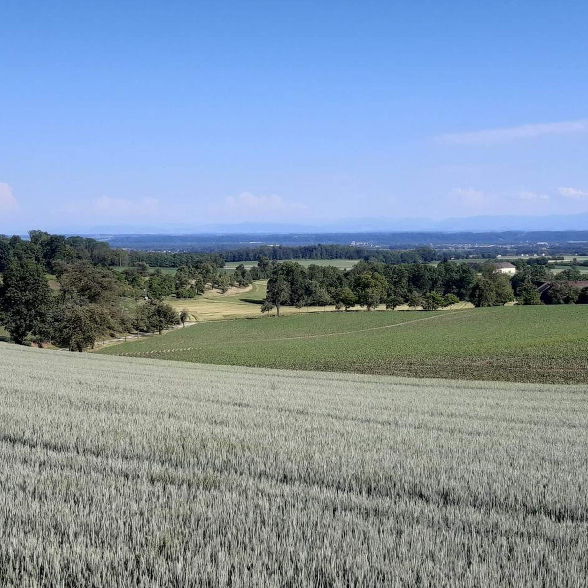
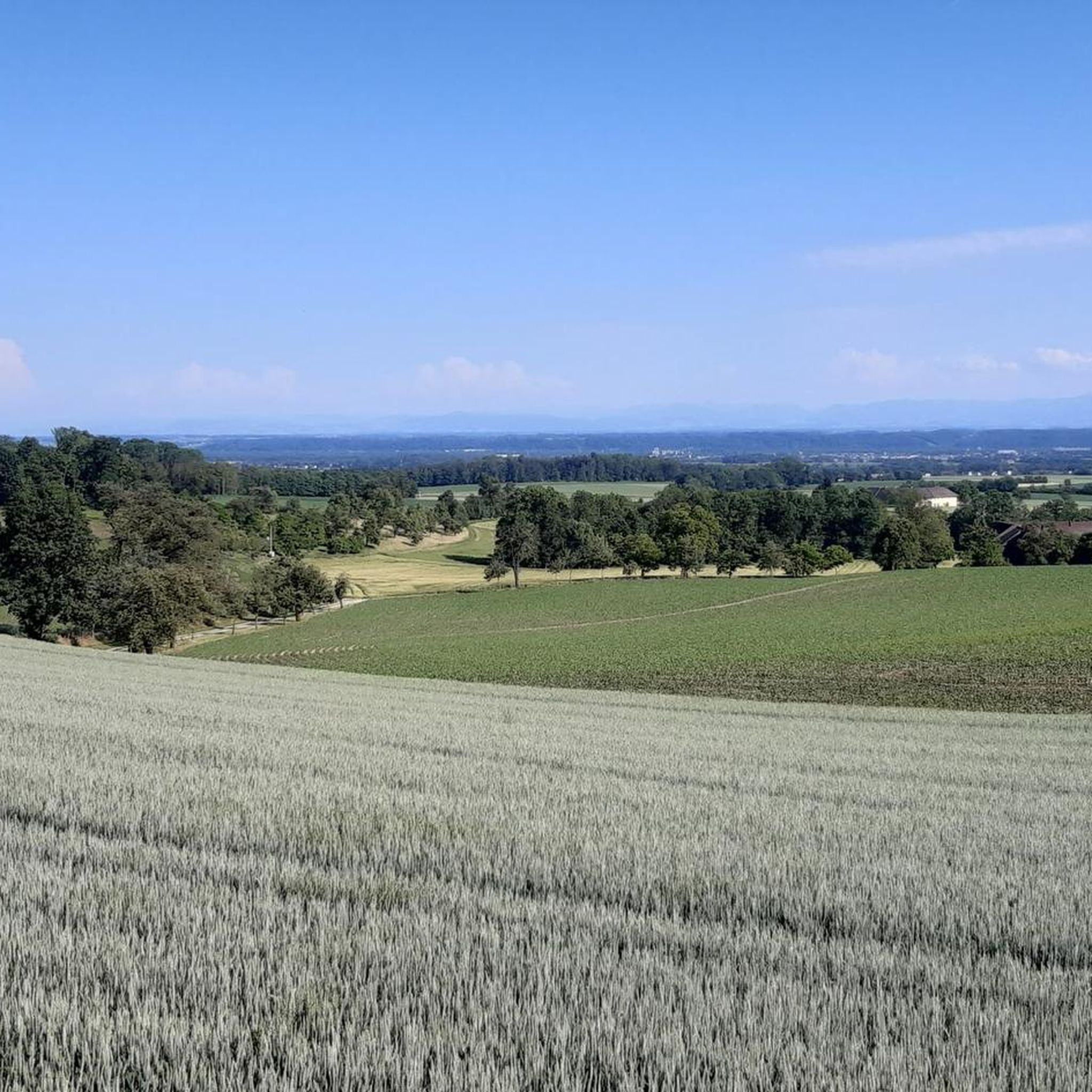
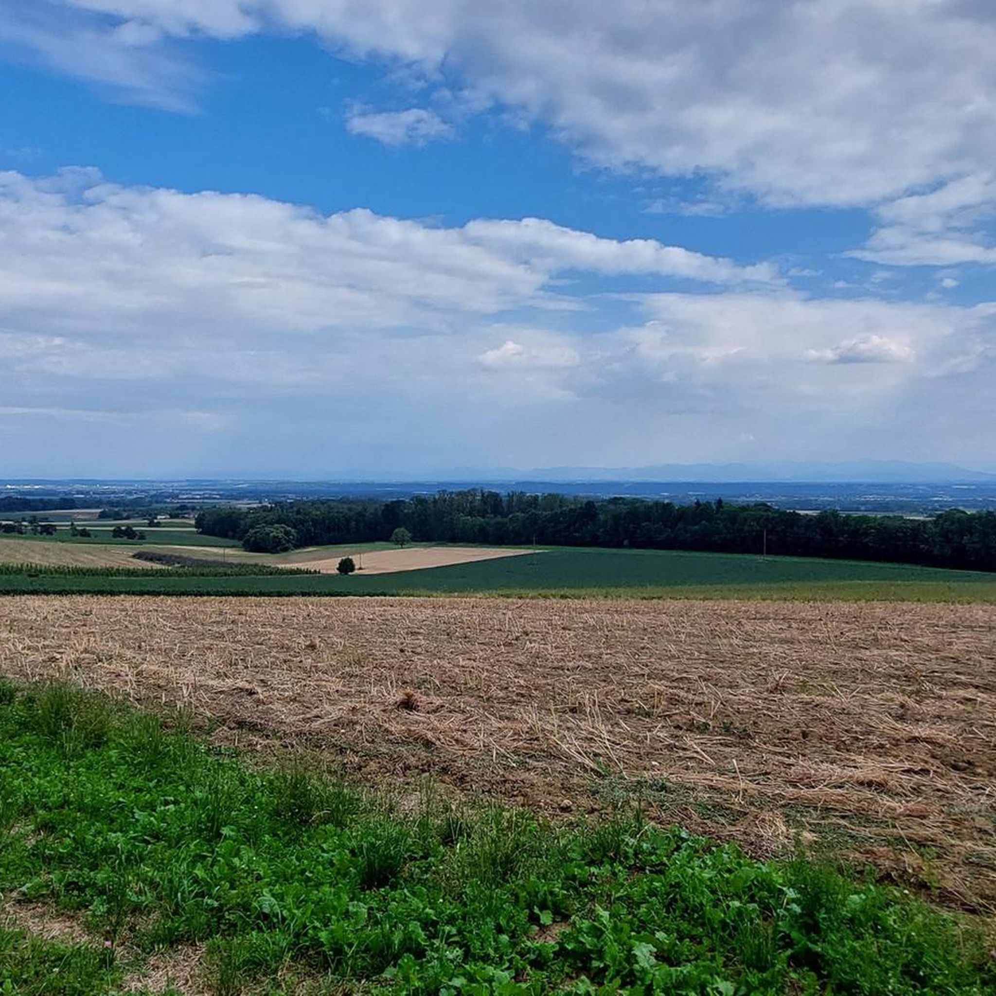
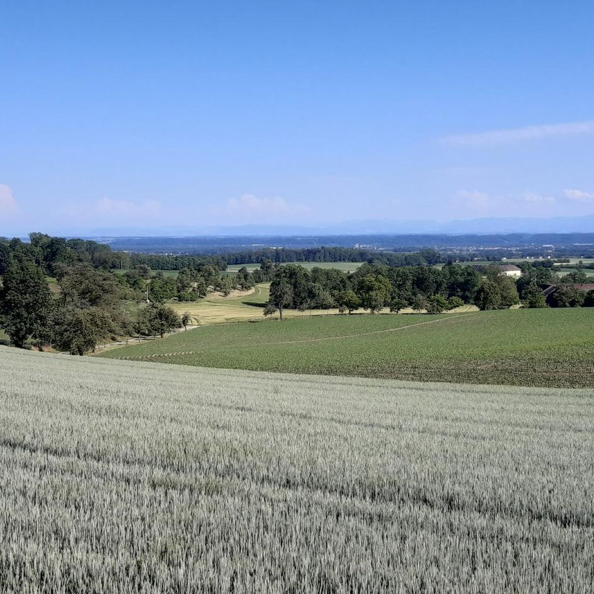
Wonderful view over the lowlands around Hörsching and, in clear weather, to the Alpine peaks
0
0

Pupping is a municipality with 1792 inhabitants in Upper Austria in the district of Eferding in the Hausruckviertel region.
0
0

Ottensheim-Wilhering Power Plant and Lock! This impressive facility on the Danube plays an important role in energy generation and shipping. Here are some interesting aspects: ### General Information - **Location**: The power plant and lock are located in the municipality of **Wilhering** in **Upper Austria**. - **Year of Construction**: The power plant was built from **1970 to 1975** and is a run-of-river power plant. ### Technical Features 1. **Lock**: - The lock has **two lock chambers** measuring **230 × 24 m**. - It allows ships to pass through and overcomes the height difference in the river. 2. **Power Plant**: - The power plant has an **capacity** of approximately **30 MW** and uses the current of the Danube to generate electricity. - It is part of a project with **72 million euros** being invested to ensure the lifespan and efficiency of the power plant for another **50 years**. 3. **Water level**: - The river dam length is **16 km**, and the dam target is at an altitude of approximately **250 m**. ### Significance - **Energy generation**: The power plant contributes significantly to the region's electricity supply and is an important component of renewable energy sources in Austria. - **Shipping**: The lock is a central point for inland navigation on the Danube, enabling the transport of goods and passengers. ### Summary The **Ottensheim-Wilhering power plant and lock** are not only technical masterpieces, but also crucial elements for the energy supply and shipping in the region. A visit to this facility offers exciting insights into the world of hydropower and engineering! ✨
2
0

Fastest connection between Danube north of Ottensheim - Feldkirchen and Danube south of Wilhering - Alkoven
0
0
Even in autumn (without fog) a beautiful view over the fruit hills
1
0

We drove from Gramastetten to Ottensheim to the Danube to Goldwört to the Waldung wildlife park, then to Rotteneg via the Rodltal valley back to Gramastetten (Rodeltal valley is a dream
2
0

Wonderful view of Linz. But some of it is off-road, so you need thicker tires than I did. I had to walk a few parts. Otherwise, cool tour!
1
0
Frequently Asked Questions
How many gravel bike trails are available around Kirchberg-Thening?
There are over 30 gravel bike trails around Kirchberg-Thening, offering a variety of experiences. These include 5 easy routes, 14 moderate routes, and 17 difficult routes, catering to different skill levels.
What is the terrain like for gravel biking in Kirchberg-Thening?
The terrain around Kirchberg-Thening is characterized by rolling hills, green meadows, and remote trails. It's situated where the Wels Heath and Danube Valley converge, providing a diverse landscape with elevations ranging from approximately 290 to 441 meters above sea level. You'll find a mix of paved and unpaved paths, ideal for mixed-surface gravel riding.
What do other gravel bikers say about the routes in Kirchberg-Thening?
The gravel biking routes in Kirchberg-Thening are highly rated by the komoot community, with an average score of 4.5 stars from over 30 reviews. Cyclists often praise the varied terrain and the scenic views, especially those towards Linz, and the peaceful, remote trails.
Are there any easy gravel bike trails for beginners or less experienced riders?
Yes, there are 5 easy gravel bike routes around Kirchberg-Thening. For a relatively gentle ride, consider the Pasching Railway Station – Parish Church of Pasching loop from Hörsching, which is 21.6 km long and features minimal elevation gain.
Are there challenging gravel routes for experienced riders?
Absolutely. There are 17 difficult gravel routes for experienced riders seeking a challenge. One such route is the Urfahrwänd Suspension Bridge – View of Linz loop from Puchenau West, a demanding 88.8 km trail with significant climbs and expansive views.
What natural landmarks or attractions can I see along the gravel bike trails?
Many routes offer scenic views and pass by interesting natural features. You might encounter highlights like the Feldkirchen Bathing Lake or the Singletrack Trail to Ottensheim. The Ottensheim-Wilhering Cable Ferry, crossing the Danube, also provides a unique and picturesque experience during a tour.
Are there historical sites or castles to explore near the trails?
Yes, the region around Kirchberg-Thening is home to several historical sites. You can find castles such as Linz Castle, Traun Castle, and Starhemberg Castle, which can be interesting detours or destinations on your gravel biking adventures.
What is the best season for gravel biking in Kirchberg-Thening?
The best season for gravel biking in Kirchberg-Thening is generally from spring through early autumn (April to October). During these months, the weather is typically mild, and the landscapes of rolling hills and green meadows are at their most vibrant, offering ideal conditions for exploration.
Are there family-friendly gravel biking options in Kirchberg-Thening?
Yes, the area offers several family-friendly routes, particularly among the 5 easy trails. The gentle undulations and remote paths provide a safe and enjoyable environment for families to cycle together, away from heavy traffic. Look for routes with lower elevation gain and shorter distances.
Can I bring my dog on the gravel bike trails?
Many of the remote trails and paths around Kirchberg-Thening are suitable for cycling with dogs, provided they are well-behaved and kept under control, ideally on a leash. Always be mindful of local regulations, other trail users, and wildlife. Ensure your dog has access to water, especially on longer rides.
Are there circular gravel bike routes available?
Yes, many of the gravel bike routes around Kirchberg-Thening are designed as loops, allowing you to start and end at the same point. An example is the Parish Church of Pasching – View of the Alps from Leonding loop from Leonding Lokalbahn, which offers varied rural scenery in a circular format.
How can I get to the gravel bike trails using public transport?
Kirchberg-Thening is located near Linz, which has good public transport connections. You can often reach starting points of trails via regional buses or trains. For example, the Parish Church of Pasching loop starts near Leonding Lokalbahn, which is accessible by public transport. Check local transport schedules for specific routes and connections.
Where can I park my car when accessing the gravel bike trails?
Parking is generally available in and around Kirchberg-Thening, particularly near village centers or designated trailheads. Many routes, being loops, allow for convenient parking at the start/end point. Always look for official parking areas to ensure your vehicle is safely and legally parked.
Are there places to eat or stay near the gravel bike routes?
Kirchberg-Thening and the surrounding villages offer various options for refreshments and accommodation. You'll find local guesthouses, restaurants, and cafes where you can refuel after your ride. The region's easy-going ambiance extends to its hospitality, providing a welcoming atmosphere for visitors.
Most popular routes around Kirchberg-Thening
Most popular attractions around Kirchberg-Thening

Get inspired with the komoot mobile app


Explore more
Browse the best Gravel rides in other regions.
