The best gravel rides around Wallern an der Trattnach
4.8
(14)
175
riders
11
rides
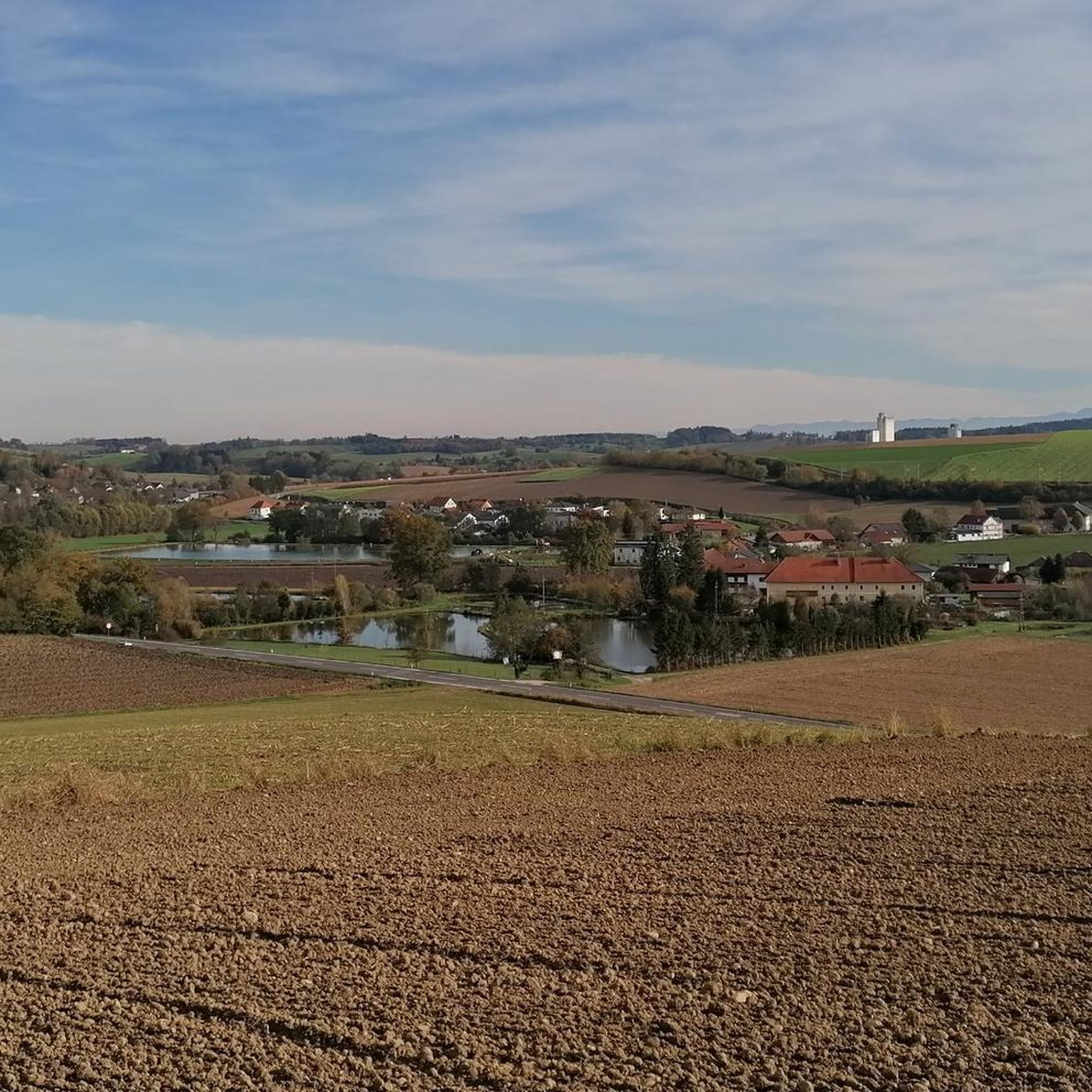
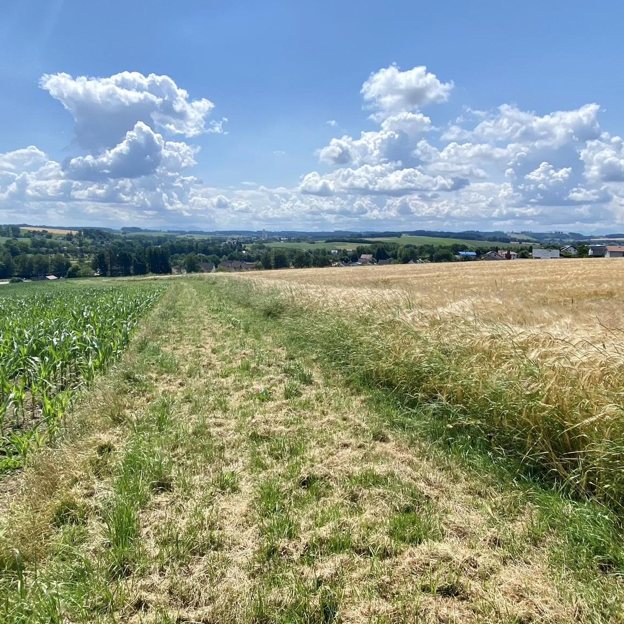
Gravel biking around Wallern an der Trattnach offers routes through Upper Austria's gently rolling landscapes and the Trattnachtal. The region is characterized by the meandering Trattnach River, varied topography, and a network of forest tracks and gravel roads. Approximately 76% of the municipality is farmland, with 10% covered by forests, providing a diverse backdrop for rides. This area provides a mix of paved and unpaved paths suitable for gravel biking, including sections of the Trattnachtal Bike Path R17.
Best gravel…
Last updated: July 2, 2026
4.5
(8)
82
riders
43.1km
02:19
100m
100m
Hard gravel ride. Good fitness required. You may need to push your bike for some segments of this route.
8
riders
27.0km
01:45
290m
290m
Moderate gravel ride. Good fitness required. Mostly paved surfaces. Suitable for all skill levels.

Sign up for free
6
riders
45.9km
03:08
530m
530m
Hard gravel ride. Very good fitness required. Mostly paved surfaces. Suitable for all skill levels.
5.0
(1)
5
riders
40.1km
02:26
210m
210m
Moderate gravel ride. Good fitness required. Mostly paved surfaces. Suitable for all skill levels.
4
riders
55.5km
03:22
440m
440m
Moderate gravel ride. Good fitness required. Mostly paved surfaces. Suitable for all skill levels.
Get access to more routes and recommendations from other explorers.
Sign up for free
Already have an account?
Our route recommendations are based on thousands of hikes, rides, and runs completed by other people on komoot.
Start today with a free account
Your next adventure awaits.
Login or Signup
Popular around Wallern an der Trattnach
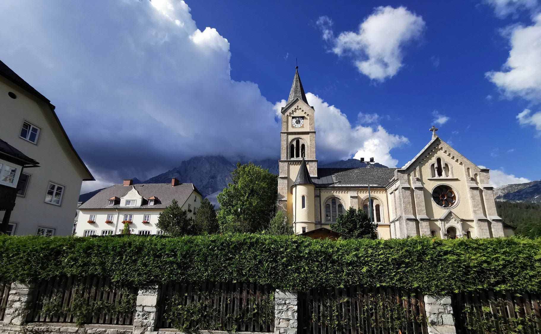
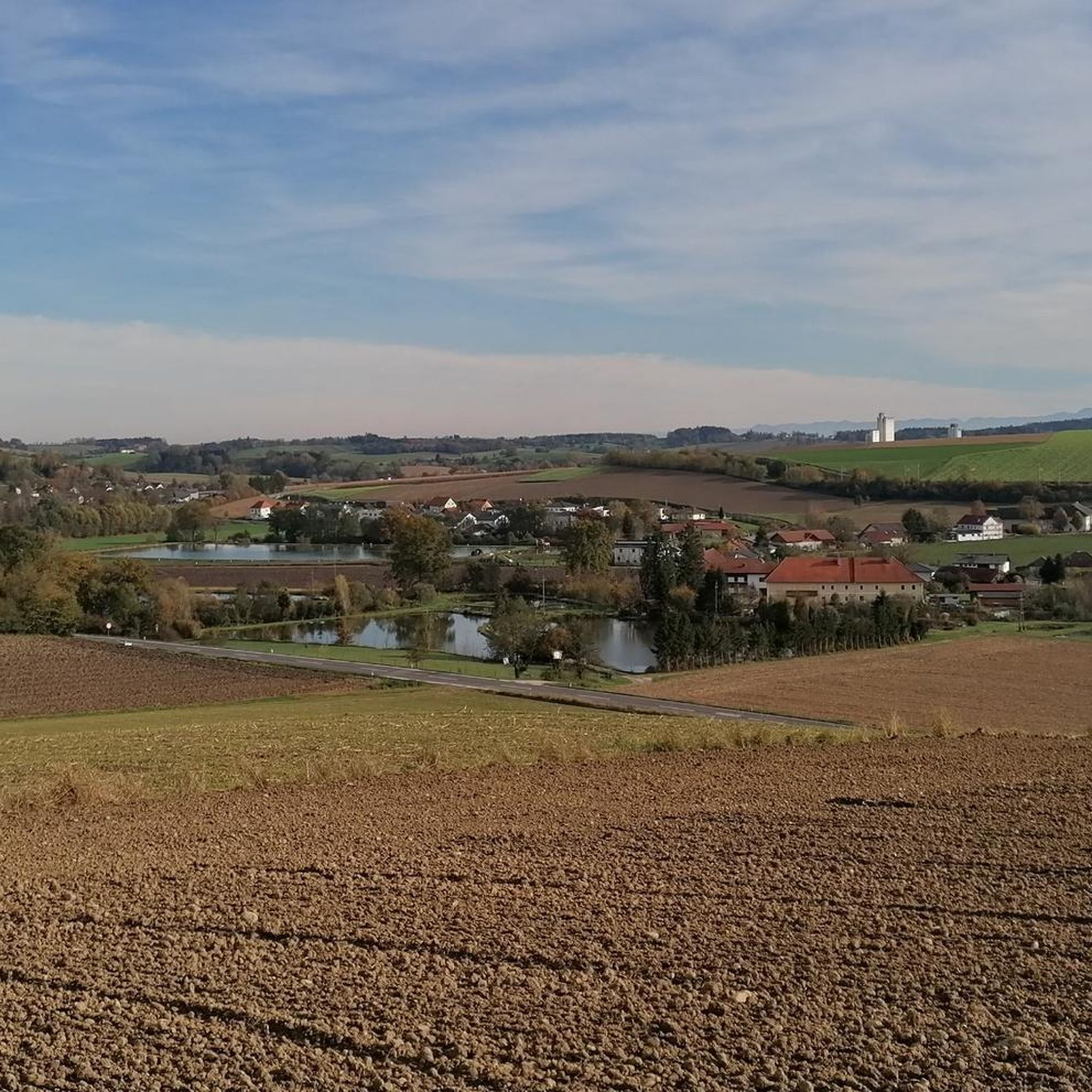
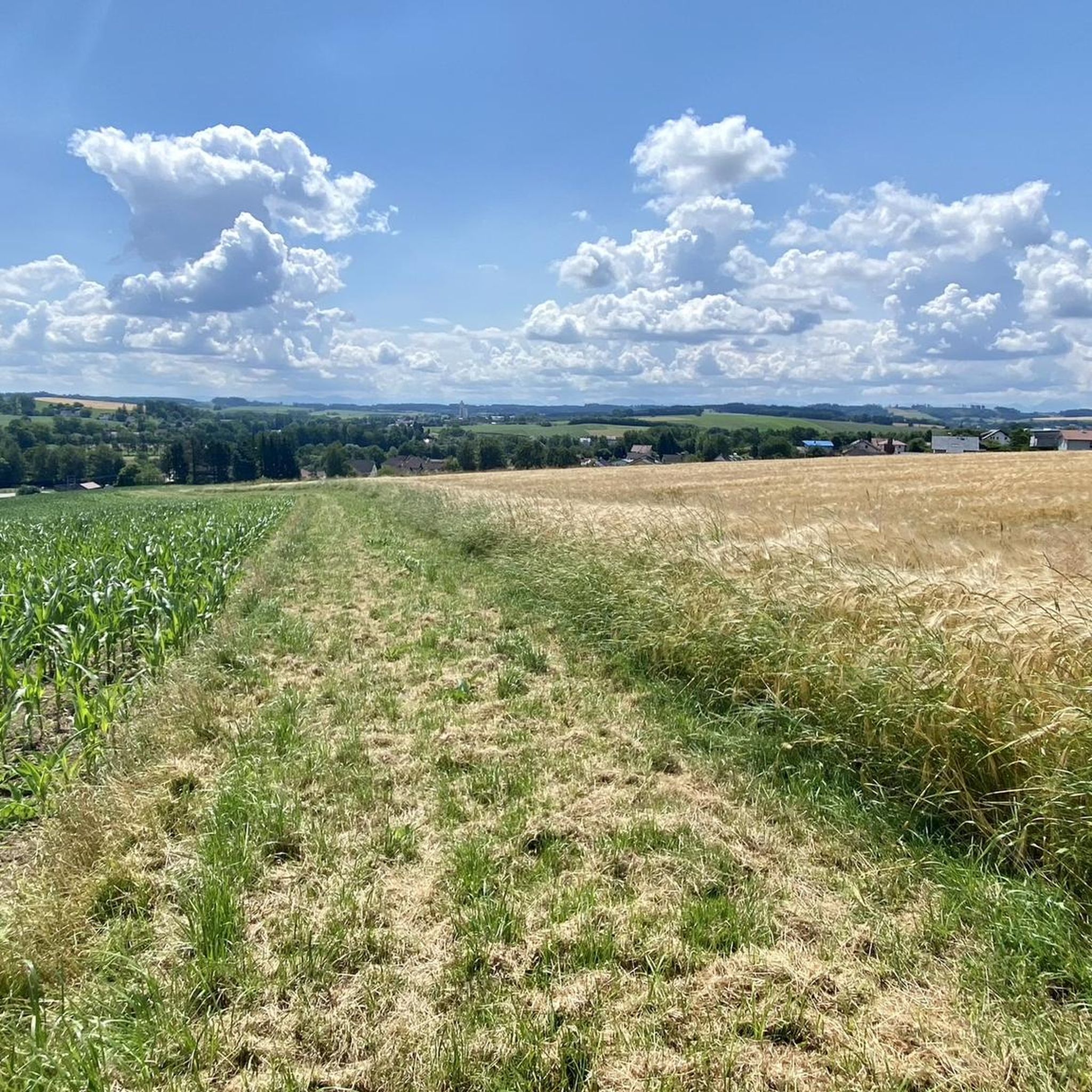
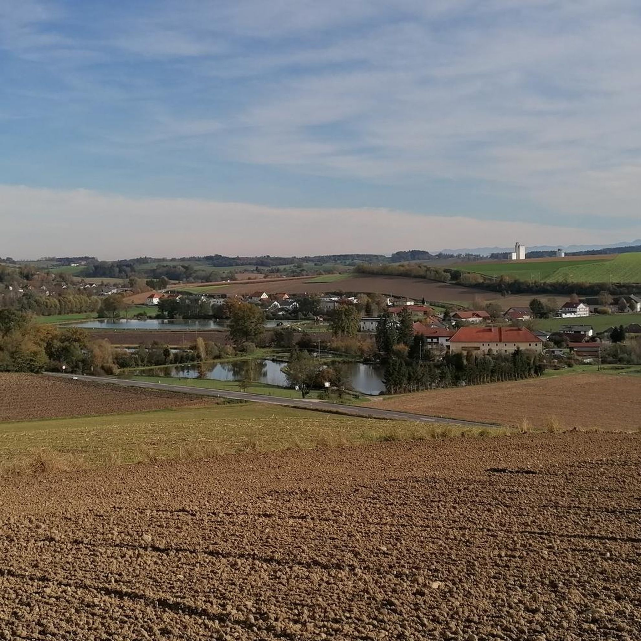
Other adventures around Wallern an der Trattnach

Tips from the Community

Pupping is a municipality with 1792 inhabitants in Upper Austria in the district of Eferding in the Hausruckviertel region.
0
0

Ottensheim-Wilhering Power Plant and Lock! This impressive facility on the Danube plays an important role in energy generation and shipping. Here are some interesting aspects: ### General Information - **Location**: The power plant and lock are located in the municipality of **Wilhering** in **Upper Austria**. - **Year of Construction**: The power plant was built from **1970 to 1975** and is a run-of-river power plant. ### Technical Features 1. **Lock**: - The lock has **two lock chambers** measuring **230 × 24 m**. - It allows ships to pass through and overcomes the height difference in the river. 2. **Power Plant**: - The power plant has an **capacity** of approximately **30 MW** and uses the current of the Danube to generate electricity. - It is part of a project with **72 million euros** being invested to ensure the lifespan and efficiency of the power plant for another **50 years**. 3. **Water level**: - The river dam length is **16 km**, and the dam target is at an altitude of approximately **250 m**. ### Significance - **Energy generation**: The power plant contributes significantly to the region's electricity supply and is an important component of renewable energy sources in Austria. - **Shipping**: The lock is a central point for inland navigation on the Danube, enabling the transport of goods and passengers. ### Summary The **Ottensheim-Wilhering power plant and lock** are not only technical masterpieces, but also crucial elements for the energy supply and shipping in the region. A visit to this facility offers exciting insights into the world of hydropower and engineering! ✨
2
0

Fastest connection between Danube north of Ottensheim - Feldkirchen and Danube south of Wilhering - Alkoven
0
0

Especially during the flowering season in April, this more than 2 km long avenue of partly very old pear trees and some younger apple trees is a real treat
0
0

Beautiful spa park, perfect for a rest. E-bikes can also be charged here for free.
0
1
Great park around the thermal baths
0
1

A pharmacy founded around 1600, which has been owned by the Fritsch-Richter family for over 100 years, has developed into an international healthcare services company (Richter Pharma AG), and the location at Stadtplatz 12 to 14 and Hafergasse 1 to 3 has become a 3,500 m2 inner-city center with a unique world of experience. You can find more information about the history of the pharmacy and the symbolism in the following text. Symbolism: The eagle is considered a symbol of heaven, the snake for the earth, the underworld or wisdom, among other things. The interplay of these symbols can be found in a wide variety of traditions and religions, from the Sumerians to the Maya and the Grail story. The Rod of Asclepius is a staff wrapped around a snake and is also known as a snake staff. Originally it was an attribute of Asclepius, the god of medicine in Greek mythology. Today it is the symbol of the medical and pharmaceutical profession. In Austria, pharmacists use the Aesculapius symbol and form the snake and staff into a large curved A. Can you spot the snake? Source: www.wels.at/welsmarketing/events/top-events/welser-weihnachtswelt/welser-lichterpfad/22-adler.html
5
3
Frequently Asked Questions
How many gravel bike trails are available around Wallern an der Trattnach?
There are over 29 gravel bike trails around Wallern an der Trattnach. These routes offer a diverse range of experiences, from moderate to difficult, exploring the gently rolling landscapes of Upper Austria.
Are there gravel routes suitable for beginners or families?
Yes, while many routes are moderate to difficult, the region does offer options for less experienced riders. The Pond on the Ager – Römerweg along the Ager River loop from Wels Messe is a moderate trail that could be suitable for those looking for a less strenuous ride. The Trattnachtal Nature Trail, though not a specific komoot route here, provides a gentle, scenic path along the Trattnach River, ideal for families to explore parts of the valley.
What kind of terrain can I expect on gravel bike trails in Wallern an der Trattnach?
Gravel biking around Wallern an der Trattnach is characterized by gently rolling hills, river valleys, and a mix of forest tracks and gravel roads. You'll encounter varied topography, including both paved and unpaved paths, offering a true gravel experience through the picturesque Trattnachtal and surrounding countryside.
Are there challenging gravel routes for experienced riders?
Absolutely. Experienced gravel bikers will find plenty of challenging options. Routes like the Feldkirchner Lakes – Pupping Franciscan Monastery loop from Eferding and the Traun River Cycle Path – Riverside Path Along the Traun loop from Wels Hauptbahnhof are rated as difficult, offering longer distances and more demanding terrain to test your skills.
Are there any scenic viewpoints or natural attractions along the gravel routes?
The region is rich in natural beauty. Many routes follow the Trattnach River through the scenic Trattnachtal. You might also encounter highlights like the Botanica Park, a recreational oasis with diverse plant life, or the modern Trodatsteg Bridge, which offers interesting views and connections for longer rides.
Can I find routes that pass by historical sites or cultural landmarks?
Yes, the area offers a blend of nature and culture. While riding, you might pass by historical settlements like Wels Town Square or even catch glimpses of historic structures like Wels Castle or Starhemberg Castle. The 'Rad-Weg des Buches' (Book Cycle Path) also offers a unique historical and cultural dimension, following in the footsteps of Bible smugglers.
Are there any routes that follow rivers or offer extensive riverside scenery?
Absolutely. The Trattnach River meanders through the valley, providing a scenic backdrop for many paths. The Trattnachtal Bike Path R17 is a significant route that follows the Trattnach River. Additionally, the Traun River Cycle Path – Riverside Path Along the Traun loop from Wels Hauptbahnhof offers extensive riverside scenery along the Traun River.
Are there circular gravel bike routes available?
Many of the gravel routes in Wallern an der Trattnach are designed as loops, allowing you to start and end at the same point. For example, the Feldkirchner Lakes – Pupping Franciscan Monastery loop from Eferding and the Roman Bridge over the Traun – Traun Cycle Path loop from Marchtrenk are excellent circular options for exploring the region.
What is the best time of year for gravel biking in this region?
The gently rolling landscapes of Wallern an der Trattnach are enjoyable for gravel biking throughout much of the year. Spring and autumn offer pleasant temperatures and vibrant scenery, making them ideal. Summer is also great, though you might prefer earlier morning or late afternoon rides to avoid the midday heat. Winter riding is possible, but be mindful of potential snow or ice on unpaved sections.
Are there options for longer gravel bike tours?
Yes, the region offers several longer routes for those seeking extended rides. The Traun River Cycle Path – Riverside Path Along the Traun loop from Wels Hauptbahnhof is a substantial 91.9 km (57.1 miles) route, and the Roman Bridge over the Traun – Traun Cycle Path loop from Marchtrenk covers over 100 km (62 miles), providing extensive exploration opportunities.
Can I find routes with places to stop for refreshments or food?
Many routes in the region pass through or near towns and villages where you can find opportunities for refreshments. The 'Vitalwelt 7 Towns Route' connects several towns, increasing the chances of finding a pub or restaurant. Keep an eye out for local establishments like Gasthaus Schober on Archenberg, which can be incorporated into your ride plans.
What do other gravel bikers say about the trails in Wallern an der Trattnach?
The gravel biking routes around Wallern an der Trattnach are highly rated by the komoot community, with an average score of 3.8 stars from over 15 reviews. More than 199 gravel bikers have explored the varied terrain, often praising the mix of forest tracks, gravel roads, and scenic river valleys that define the region's unique riding experience.
Most popular routes around Wallern an der Trattnach
Most popular attractions around Wallern an der Trattnach

Get inspired with the komoot mobile app


Explore more
Browse the best Gravel rides in other regions.
