The best gravel rides around Sankt Marienkirchen an der Polsenz
3.8
(14)
117
riders
8
rides
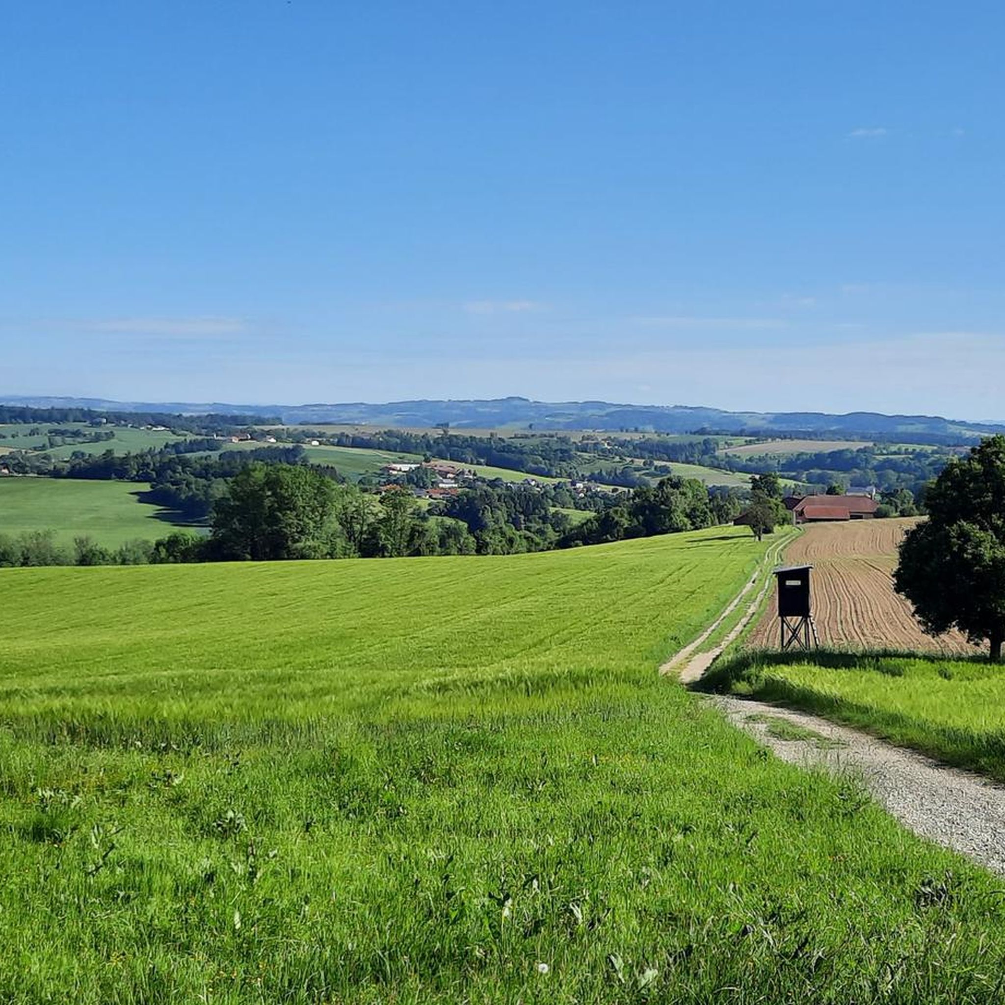
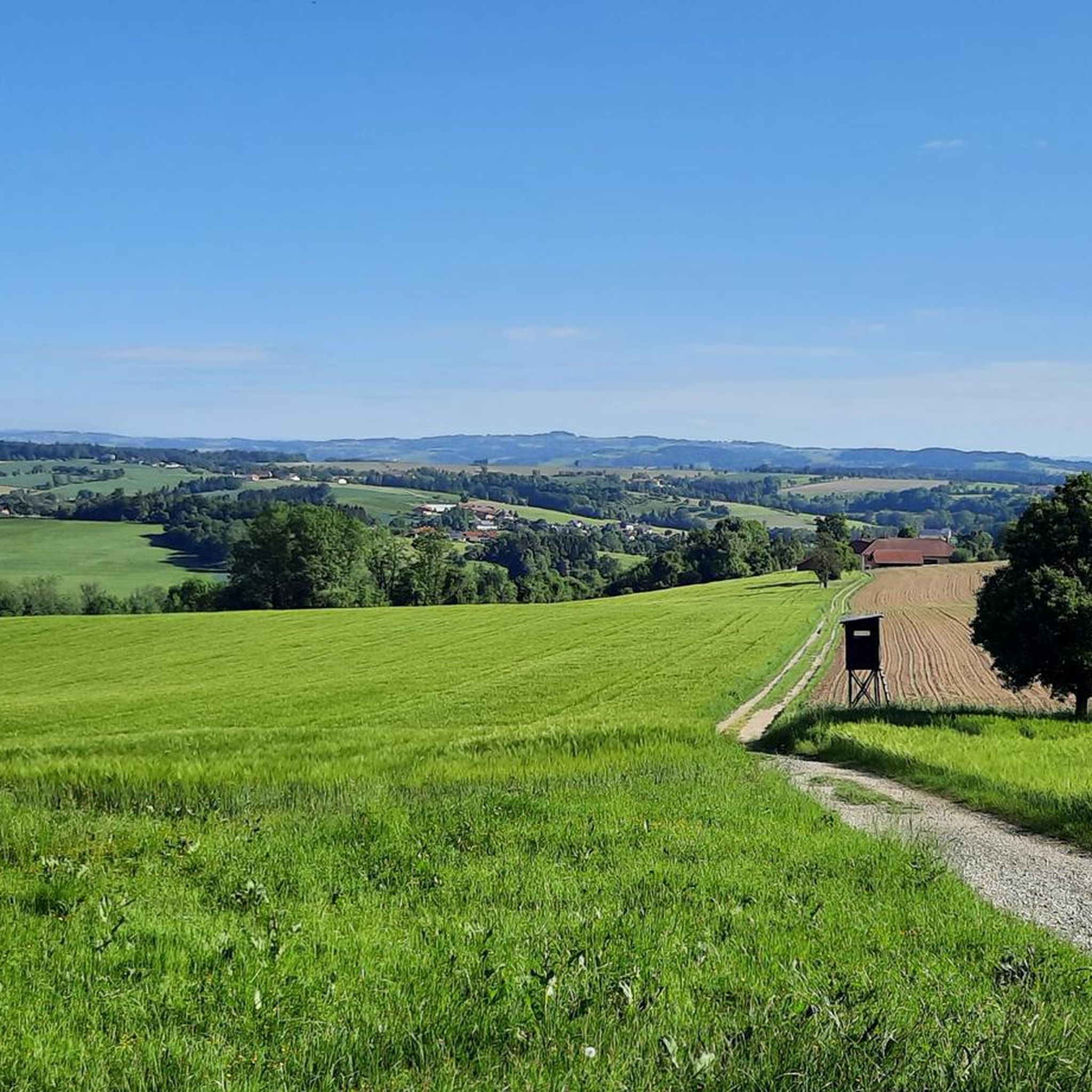
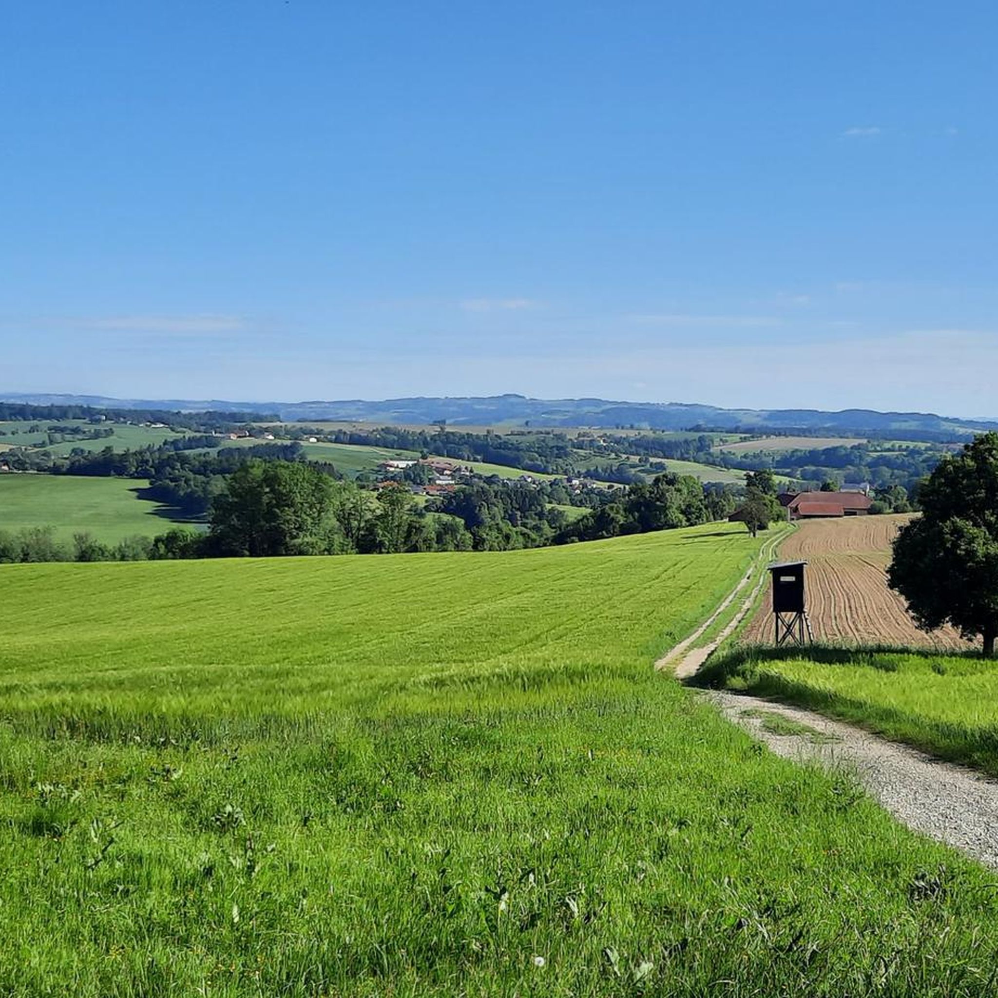
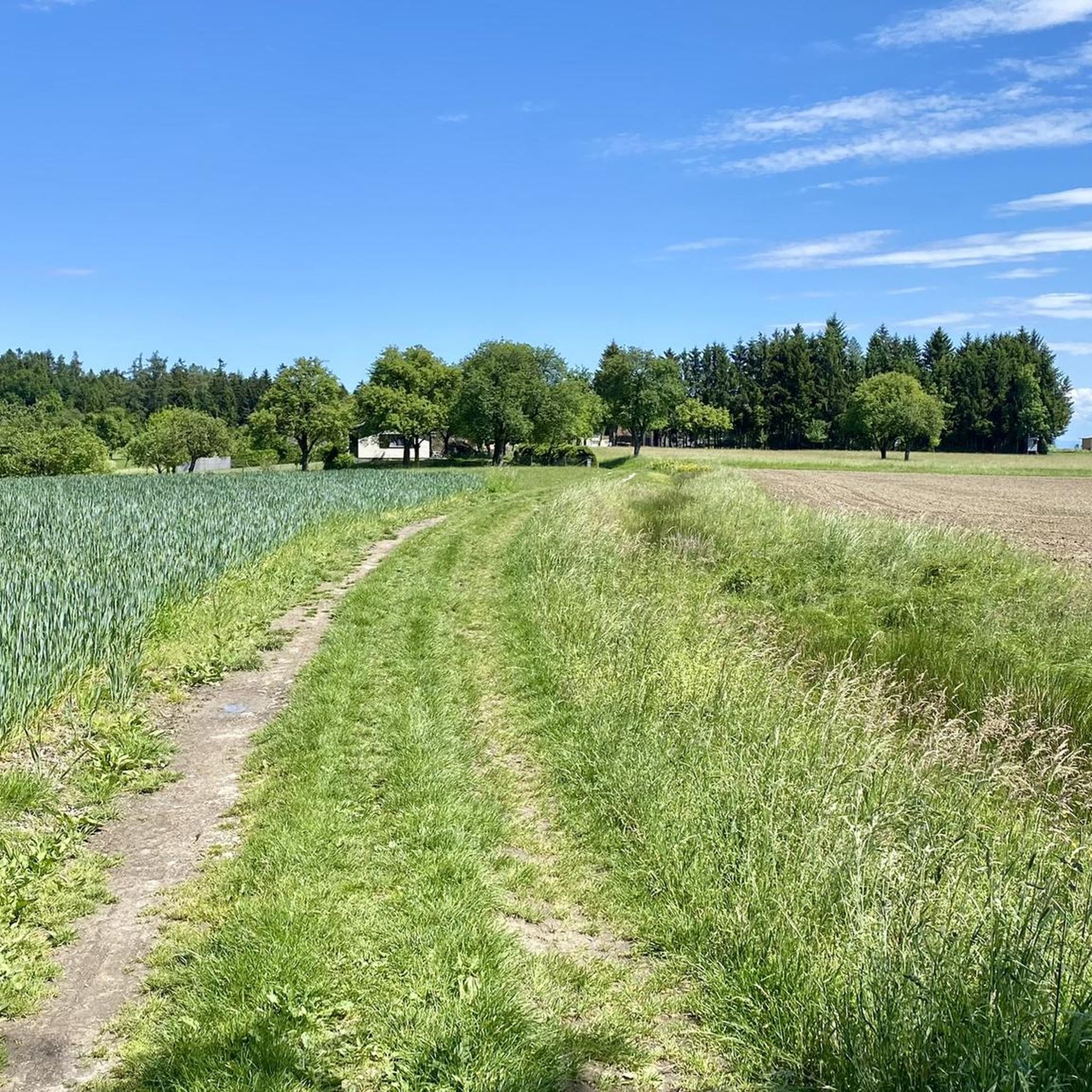
Gravel biking around Sankt Marienkirchen an der Polsenz offers varied terrain, characterized by routes that traverse open landscapes, pass by historic sites like Franciscan monasteries and castle ruins, and connect town centers with natural areas. The region features a network of trails that include sections near lakes and rivers, providing diverse riding experiences. Elevation changes are present, with some routes featuring moderate climbs.
Best gravel bike trails around Sankt Marienkirchen an der Polsenz
- The most popular gravel bike trail is…
Last updated: October 5, 2026
4.3
(12)
92
riders
Hard gravel ride. Good fitness required. You may need to push your bike for some segments of this route.
3.0
(1)
9
riders
27.0km
01:45
290m
290m
Moderate gravel ride. Good fitness required. Mostly paved surfaces. Suitable for all skill levels.

4.0
(1)
5
riders
Hard gravel ride. Good fitness required. You may need to push your bike for some segments of this route.
5
riders
38.1km
02:32
450m
450m
Moderate gravel ride. Good fitness required. Mostly paved surfaces. Suitable for all skill levels.
2
riders
11.3km
00:48
190m
190m
Moderate gravel ride. Good fitness required. Mostly paved surfaces. Suitable for all skill levels.
Get access to more routes and recommendations from other explorers.
Already have an account?
Our route recommendations are based on thousands of hikes, rides, and runs completed by other people on komoot.
Start today with a free account
Your next adventure awaits.
Popular around Sankt Marienkirchen an der Polsenz
Tips from the Community

Beautiful, very large complex that is excellently maintained!👍
0
0

Because it is a beautiful area and you can do a lot on the very beautiful quiet campsite
0
0

In the Zwergenwald. A very lovingly designed path.
0
0

The Mühlbach near Inn is a side arm of the Innbach and supplies - as its name suggests - the Fischer mill.
0
0

Pupping is a municipality with 1792 inhabitants in Upper Austria in the district of Eferding in the Hausruckviertel region.
0
0

Ottensheim-Wilhering Power Plant and Lock! This impressive facility on the Danube plays an important role in energy generation and shipping. Here are some interesting aspects: ### General Information - **Location**: The power plant and lock are located in the municipality of **Wilhering** in **Upper Austria**. - **Year of Construction**: The power plant was built from **1970 to 1975** and is a run-of-river power plant. ### Technical Features 1. **Lock**: - The lock has **two lock chambers** measuring **230 × 24 m**. - It allows ships to pass through and overcomes the height difference in the river. 2. **Power Plant**: - The power plant has an **capacity** of approximately **30 MW** and uses the current of the Danube to generate electricity. - It is part of a project with **72 million euros** being invested to ensure the lifespan and efficiency of the power plant for another **50 years**. 3. **Water level**: - The river dam length is **16 km**, and the dam target is at an altitude of approximately **250 m**. ### Significance - **Energy generation**: The power plant contributes significantly to the region's electricity supply and is an important component of renewable energy sources in Austria. - **Shipping**: The lock is a central point for inland navigation on the Danube, enabling the transport of goods and passengers. ### Summary The **Ottensheim-Wilhering power plant and lock** are not only technical masterpieces, but also crucial elements for the energy supply and shipping in the region. A visit to this facility offers exciting insights into the world of hydropower and engineering! ✨
2
0

The Shalom Monastery in Pupping - Franciscans Since 1998, a small, Franciscan-influenced community of Franciscan brothers, a sister, and members of the OFS (Ordo Franciscanus Saecularis) from various countries of origin and cultures has lived at the Shalom Franciscan Monastery. Our community reflects a great diversity, which we experience not as a limitation but as an enrichment. We consciously strive to maintain a simple lifestyle and, in the spirit of St. Francis and St. Clare, we seek to follow in Christ's footsteps and share life in its various aspects: community, prayer, and work. With a fundamental attitude of openness, we seek to encounter one another, other people, and new situations. We are willing to continually accept challenges and dare to embrace change.
0
0

The Mayrhofberg is adorned with a tower and a summit cross with some benches.
2
0
Frequently Asked Questions
What is the general difficulty level of gravel bike trails around Sankt Marienkirchen an der Polsenz?
The gravel bike trails in this region offer a range of challenges. You'll find 8 moderate routes, which are suitable for riders with some experience, and 9 difficult trails, ideal for those seeking a more demanding ride. For example, the Grieskirchen Town Center – Bad Schallerbach Spa Park loop from Gallspach is a moderate option, while the Feldkirchner Lakes – Pupping Franciscan Monastery loop from Eferding presents a more difficult challenge.
Are there any family-friendly gravel biking options in Sankt Marienkirchen an der Polsenz?
While the guide primarily lists moderate and difficult routes, the region's varied terrain, including paths near lakes and rivers, can be adapted for families. Look for routes with less elevation gain and shorter distances, or consider exploring sections of longer trails that pass through parks or along riverbanks for a more relaxed experience.
What kind of landscapes and attractions can I expect to see along the gravel bike trails?
The trails around Sankt Marienkirchen an der Polsenz traverse diverse landscapes, including open fields, river paths, and areas connecting town centers with natural spaces. You can also encounter historic sites such as Franciscan monasteries and castle ruins. Notable attractions include the Mayrhofberg Observation Tower and the Schaunberg Castle Ruins.
Are there any circular gravel bike routes available?
Yes, many of the gravel bike routes in the area are designed as loops, allowing you to start and end at the same point. Examples include the Mayrhofberg Observation Tower – Schaunberg Castle Ruins loop from Hartkirchen and the Römerweg along the Ager River – Pond on the Ager loop from Haiding.
What is the typical length and duration of gravel bike routes in this area?
Route lengths vary significantly. You'll find trails ranging from approximately 16.8 miles (27.0 km), like the Grieskirchen Town Center – Bad Schallerbach Spa Park loop from Gallspach, to longer options such as the Römerweg along the Ager River – Pond on the Ager loop from Haiding, which is about 45.6 miles (73.4 km). Durations can range from under 2 hours to over 5 hours, depending on the distance and your pace.
What do other gravel bikers say about the trails around Sankt Marienkirchen an der Polsenz?
The komoot community rates the gravel biking experience in Sankt Marienkirchen an der Polsenz highly, with an average score of 3.7 stars from 6 reviews. Over 80 gravel bikers have used komoot to explore the region, often praising the varied terrain that combines open landscapes with historic sites and natural areas like lakes and rivers.
Are there any viewpoints or scenic spots along the gravel trails?
Yes, the region offers several scenic spots. The Mayrhofberg Observation Tower is a prominent viewpoint, and routes like the View of Scharten – View from Aichberg loop from Eferding Gewerbegebiet are specifically named for their panoramic vistas. Many trails also pass by lakes and rivers, providing picturesque natural settings.
When is the best time of year for gravel biking in Sankt Marienkirchen an der Polsenz?
The region's varied terrain, including open landscapes and river paths, makes it enjoyable across multiple seasons. Spring and autumn generally offer pleasant temperatures and beautiful scenery. While specific winter conditions are not detailed, some routes might be accessible depending on snow and ice, but it's always best to check local conditions before heading out.
Are there any less crowded gravel routes for a more tranquil experience?
While specific crowd levels are not tracked, exploring routes that venture further from popular town centers or those that are longer in distance, such as the Römerweg along the Ager River – Pond on the Ager loop from Haiding, might offer a more secluded ride. Early mornings or weekdays are also good times to find quieter trails.
What kind of historical sites can I visit while gravel biking in the area?
The region is rich in history. Many routes pass by or near historic sites such as Franciscan monasteries and castle ruins. You can explore the Schaunberg Castle Ruins, or discover other castles like Starhemberg Castle and Haiding Castle, which are part of the local heritage.
Are there any natural monuments or unique natural features to see?
Beyond the general natural beauty, you can find specific natural monuments. The Geyser Garden (Eurothermenpark Bad Schallerbach) and the Sulfur Thermal Spring Fountain in Kurpark, Bad Schallerbach are notable natural features in the vicinity that offer unique sights.
Most popular routes around Sankt Marienkirchen an der Polsenz
Most popular attractions around Sankt Marienkirchen an der Polsenz

Get inspired with the komoot mobile app


Explore more
Browse the best Gravel rides in other regions.
