The best gravel rides around Lorüns
4.6
(37)
319
riders
20
rides
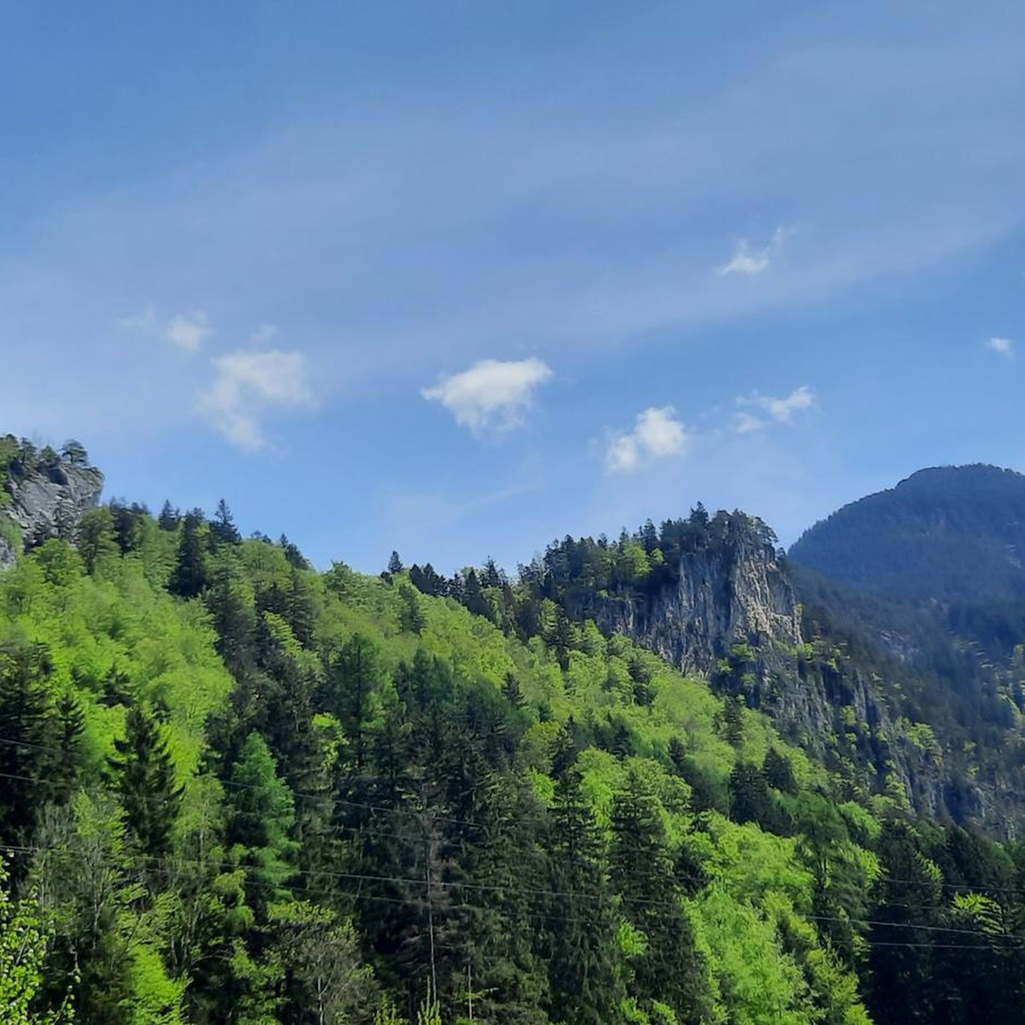
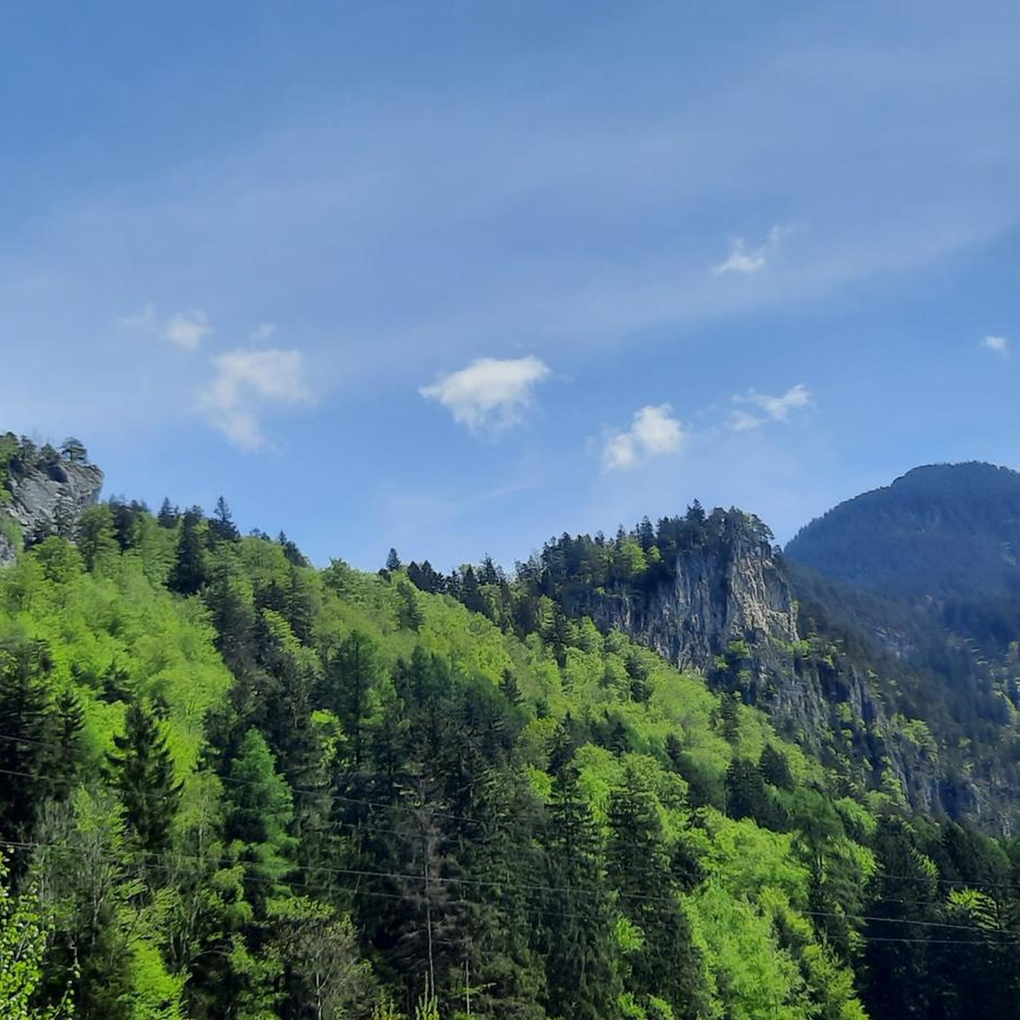
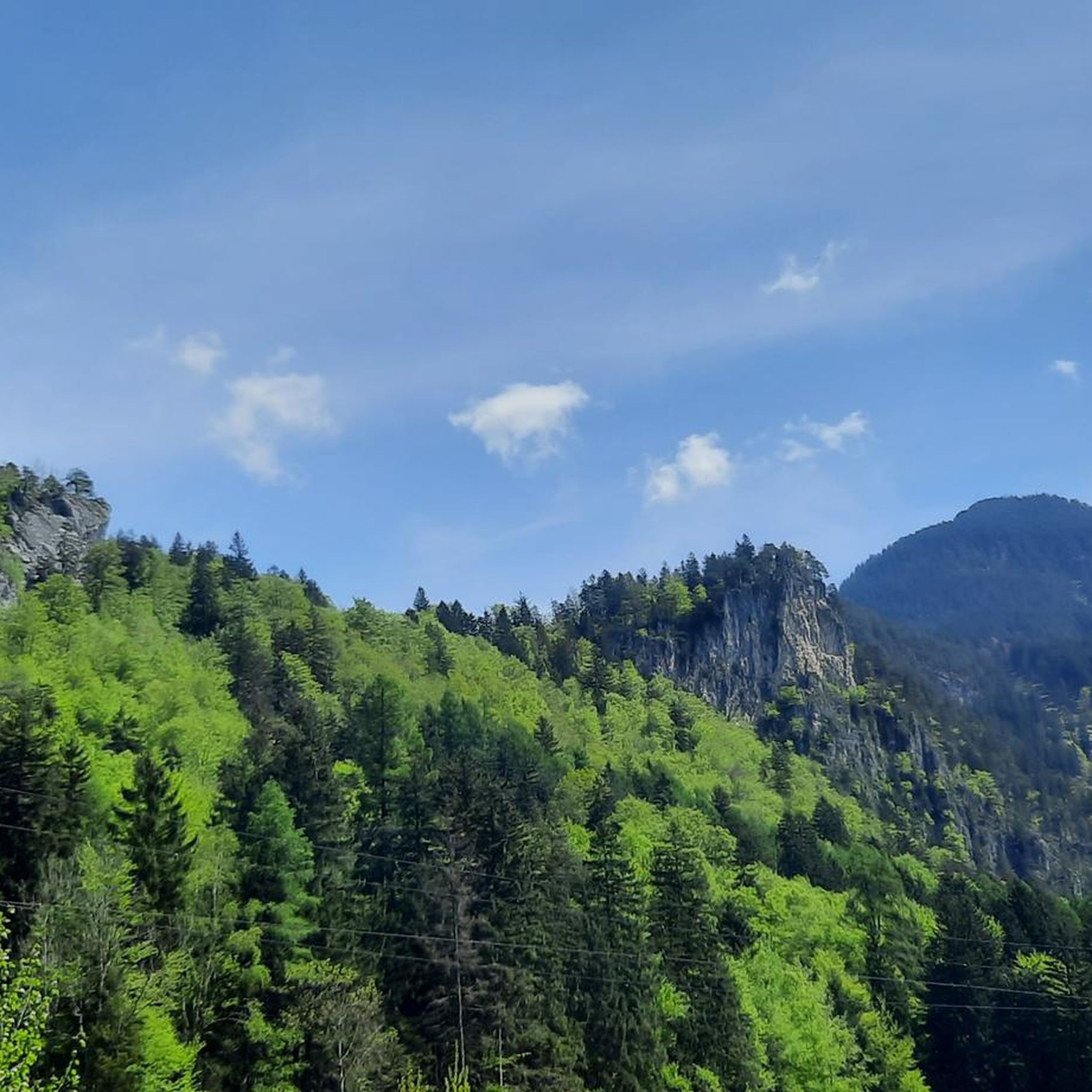
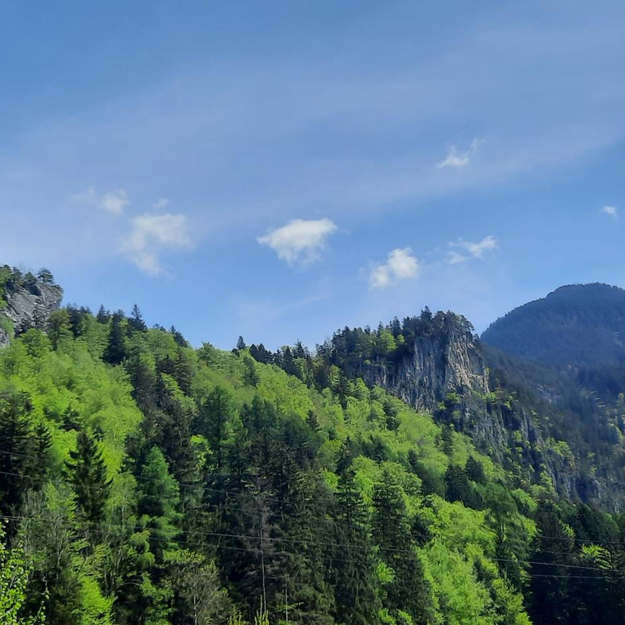
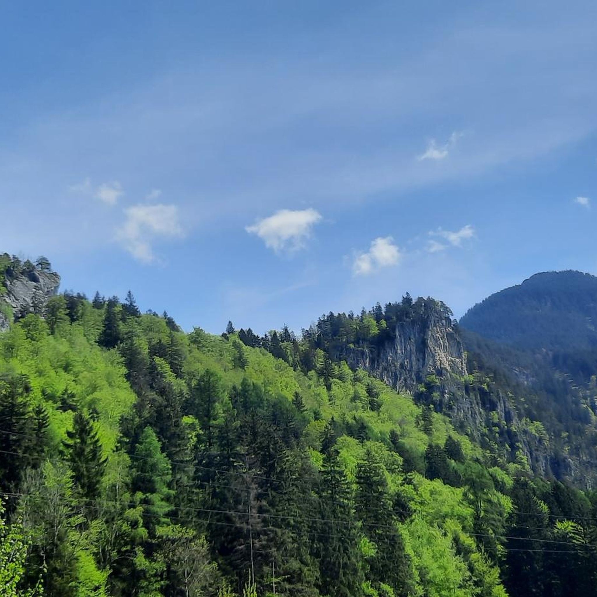
Gravel biking around Lorüns offers routes through mountainous terrain, characterized by river valleys and alpine landscapes. The region features a mix of challenging ascents and scenic paths, often following natural contours. Riders can expect varied surfaces, from compacted gravel to forest tracks, suitable for gravel bikes.
Best gravel bike trails around Lorüns
- The most popular gravel bike trail is Brandnertal Gravel Tour, a 35.6 miles (57.3 km) trail that takes 5 hours 35 minutes to complete. This route features significant elevation gain through the Brandnertal valley.
- Another top favourite among local gravel bikers is Bludenz Gravel Tour, a moderate 25.4 miles (40.9 km) path. This route explores the area around Bludenz, offering varied terrain and views.
- Local gravel bikers also love the Tschengla Stone Circles – View of the Brandnertal Valley loop from Bludenz, a 21.3 miles (34.2 km) trail leading through alpine meadows and offering panoramic views, often completed in about 3 hours 10 minutes.
- Gravel biking around Lorüns is defined by mountain passes, river valleys, and forest tracks. The network offers options for various ability levels, from moderate to difficult routes.
- The routes in Lorüns are highly rated by the komoot community with an average score of 4.5 stars from more than 50 reviews. More than 400 gravel bikers have used komoot to explore Lorüns's varied terrain.
Last updated: July 2, 2026
2.0
(1)
8
riders
57.3km
05:35
1,590m
1,590m
Hard gravel ride. Very good fitness required. Mostly paved surfaces. Suitable for all skill levels.
5.0
(3)
24
riders
40.9km
02:56
380m
380m
Moderate gravel ride. Good fitness required. Mostly paved surfaces. Suitable for all skill levels.

Sign up for free
5.0
(3)
25
riders
34.2km
03:11
1,300m
1,300m
Hard gravel ride. Very good fitness required. Mostly paved surfaces. Suitable for all skill levels.
6
riders
21.7km
02:17
920m
920m
Hard gravel ride. Very good fitness required. Mostly paved surfaces. Suitable for all skill levels.
4.5
(2)
8
riders
16.0km
01:16
500m
500m
Hard gravel ride. Very good fitness required. Mostly paved surfaces. Suitable for all skill levels.
Get access to more routes and recommendations from other explorers.
Sign up for free
Already have an account?
Our route recommendations are based on thousands of hikes, rides, and runs completed by other people on komoot.
Start today with a free account
Your next adventure awaits.
Login or Signup
Tips from the Community


Eastern Lake on the geological high-altitude hiking trail
0
0
In good weather, a fantastic view of the Rätikon and the rear Montafon
1
0

easy nice tour, and beautiful view
1
0


The Neolithic stone circles on the Tschengla plateau are considered part of a huge calendar complex dating from 5000 to 1900 BC. The orientation of the stone circles shows parallels to other prehistoric structures in Europe.
9
0
The Neolithic stone circles on the Tschengla plateau are considered part of a huge calendar complex dating from 5000 to 1900 BC. The orientation of the stone circles shows parallels to other prehistoric structures in Europe.
9
0

The “Itonskopf Tour” trail takes you close to the steep slopes of the Klostertal. The views from up here are fantastic.
2
0
Frequently Asked Questions
How many gravel bike trails are available around Lorüns?
Lorüns offers a diverse network of over 30 gravel bike trails. These routes cater to various skill levels, ranging from moderate to difficult, with a few easier options available.
Are there any beginner-friendly gravel bike routes in Lorüns?
While many routes around Lorüns feature challenging ascents, there is at least one easier gravel bike route available. For those new to gravel biking or looking for a less strenuous ride, consider exploring the flatter sections along the Ill River valley.
What are the best times of year for gravel biking in Lorüns?
The prime seasons for gravel biking in Lorüns are typically spring, summer, and autumn. During these months, the weather is generally more stable, and the trails are clear of snow. Summer offers longer daylight hours, while spring and autumn provide cooler temperatures and vibrant scenery.
What are the conditions like for gravel biking in Lorüns during winter?
Gravel biking in Lorüns during winter can be challenging due to snow and ice, especially at higher elevations and on forest tracks. Many trails may be impassable or require specialized winter cycling gear. It's advisable to check local weather and trail conditions before heading out.
Are there any challenging gravel bike routes for experienced riders?
Yes, Lorüns is known for its challenging gravel bike routes. For experienced riders seeking significant elevation gain and technical terrain, the Brandnertal Gravel Tour is a demanding option, covering 57.3 km with considerable climbing. Another difficult route is the View of Kops Reservoir – Kops Reservoir loop from St. Anton im Montafon, which is over 80 km long.
Can I find circular gravel bike routes around Lorüns?
Yes, several routes around Lorüns are designed as loops, allowing you to start and end at the same point. An example is the Tschengla Stone Circles – View of the Brandnertal Valley loop from Bludenz, which offers panoramic views and returns to Bludenz.
What kind of scenery can I expect on the gravel bike trails in Lorüns?
The gravel bike trails in Lorüns offer diverse scenery, from river valleys and dense forest tracks to alpine meadows and panoramic mountain views. Routes often follow natural contours, providing a mix of challenging ascents and scenic paths through the mountainous terrain of the Brandnertal valley and surrounding areas.
Are there any notable landmarks or attractions along the gravel bike routes?
Yes, you can combine your gravel biking with visits to historical sites and natural wonders. For instance, you might encounter highlights like the Oberes Tor (Upper Gate) and Bludenz City Museum or the ruins of Valcastiel Castle. The region also features impressive waterfalls, such as the Glingabrunn Waterfalls.
Where can I park my car when gravel biking in Lorüns?
Parking is generally available in and around the main towns like Lorüns and Bludenz, often near trailheads or public facilities. Look for designated parking areas in village centers or at popular starting points for outdoor activities. Always check local signage for any parking restrictions or fees.
What do other gravel bikers say about the trails in Lorüns?
The gravel biking trails in Lorüns are highly regarded by the komoot community, with an average rating of 4.5 stars from over 50 reviews. Riders frequently praise the varied terrain, the stunning alpine landscapes, and the well-maintained tracks that offer a true challenge and rewarding experience.
Are there options for longer, multi-hour gravel bike tours?
Absolutely. For those looking for extended rides, routes like the Brandnertal Gravel Tour can take over 5 hours to complete. Even longer options, such as the Kops Reservoir – View to Partenen loop from Innerbraz, can extend to nearly 7 hours, offering extensive exploration of the region.
Most popular attractions around Lorüns

Get inspired with the komoot mobile app


Explore more
Browse the best Gravel rides in other regions.
